This blog post continues my trek with good friend Al from Gloucester. We are walking the Pennine Way north to south so Part 1 was 89 miles in 6 days from Kirk Yetholm to Alston, see previous post. This post covers the 97 miles 7 day section from Alston to Horton-in-Ribblesdale.
Travel Day + Garrigill to Alston 4.5 miles 2h 10m
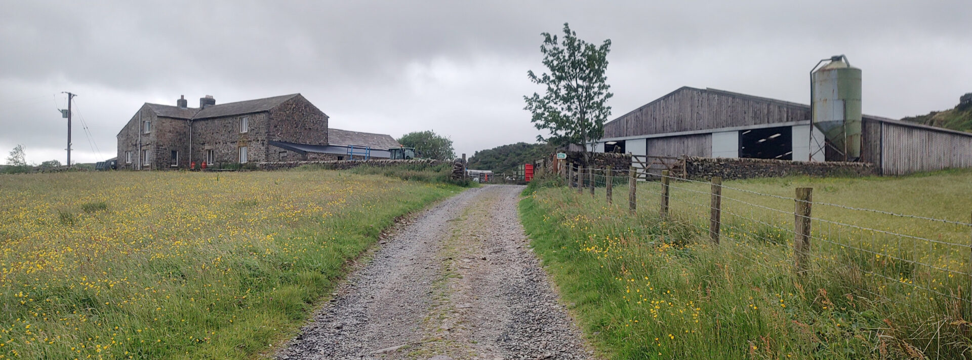
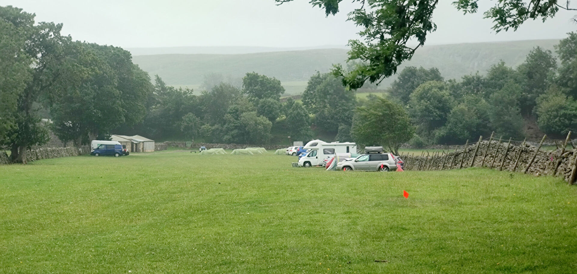
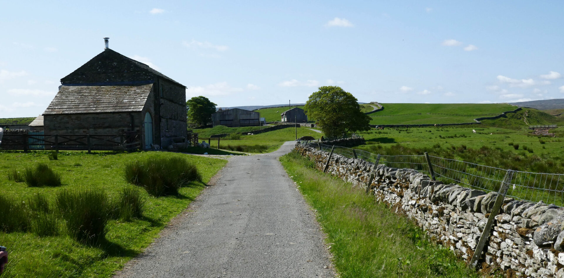
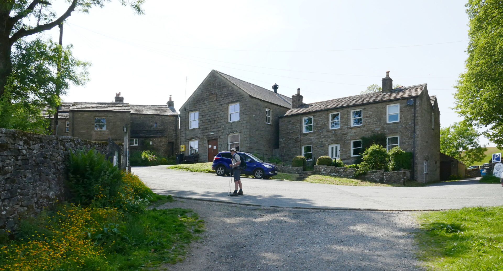
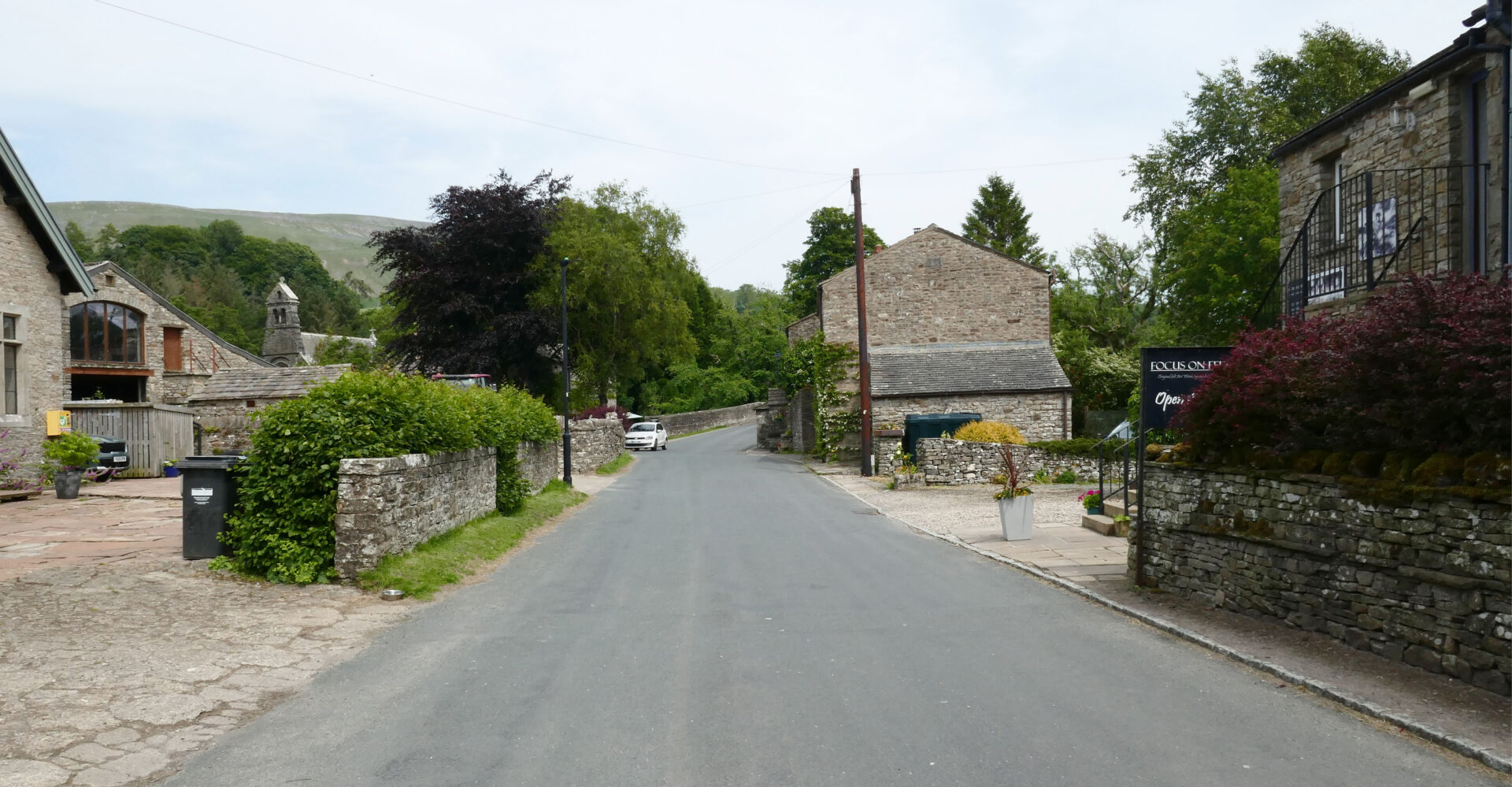
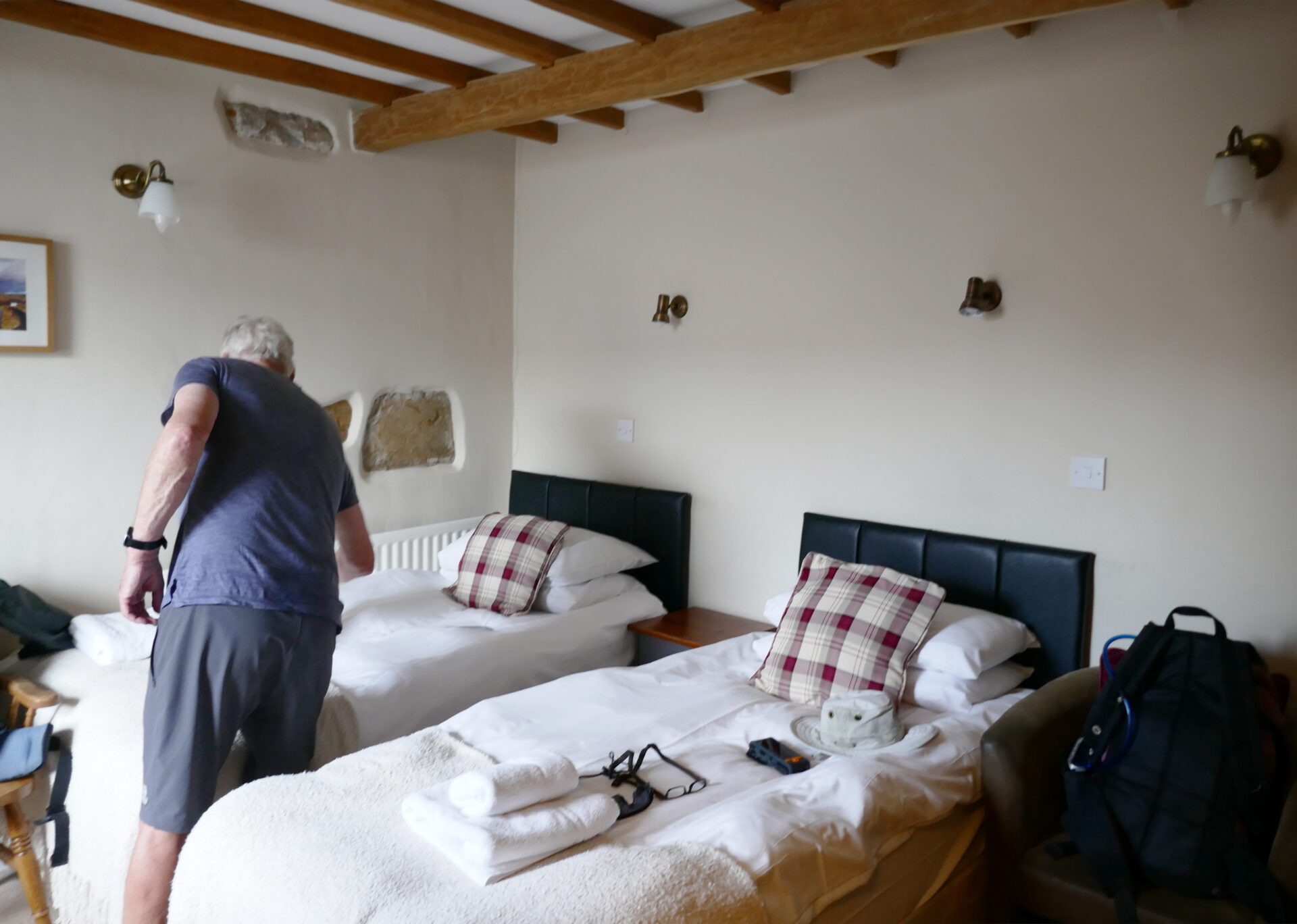
Jan drove us up from Home to Horton-in-Ribblesdale where we had arranged to meet good friend Al to resume the Pennine Way. He had parked his car in the Holme Farm campsite car park and booked it in for 7 days so that he could collect it after we return to Horton.
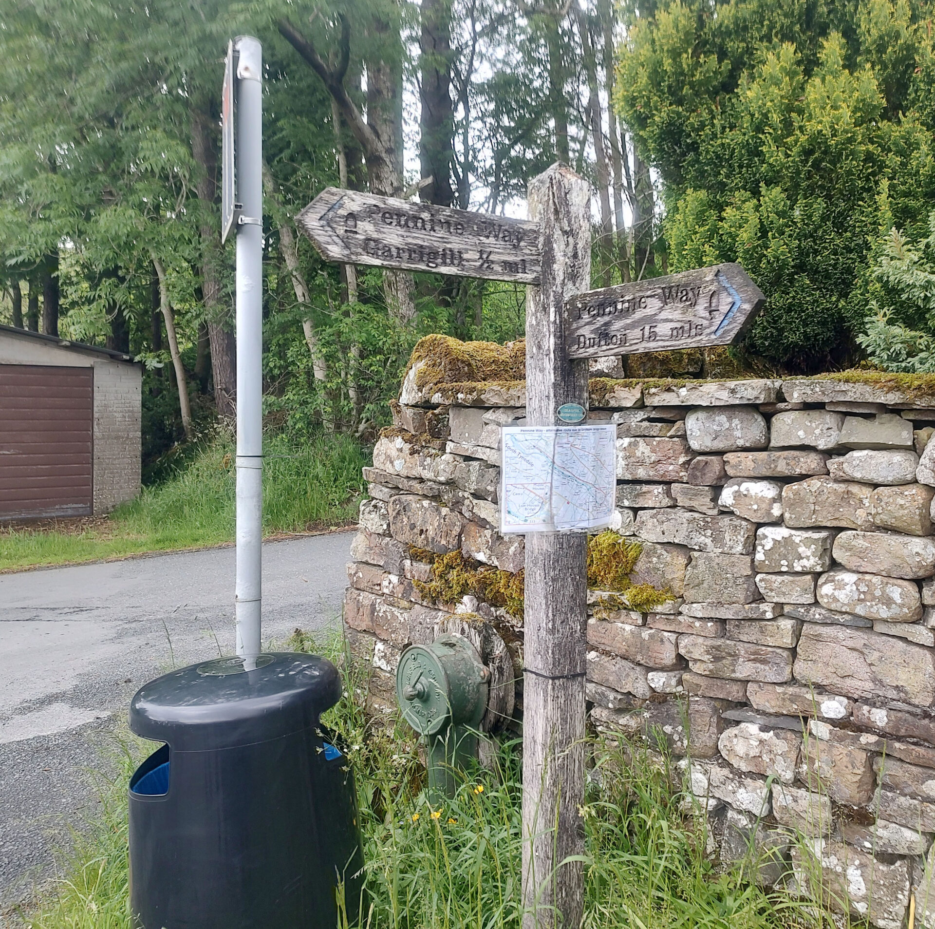
At 12.15pm Jan was driving the 3 of us to Garrigill so that we could walk the short section to Alston where we finished last year. We had planned to do this at the end of last year’s trip and taxi back to Alston but Al had painful blisters on his feet so we moved it to the start of this trip.
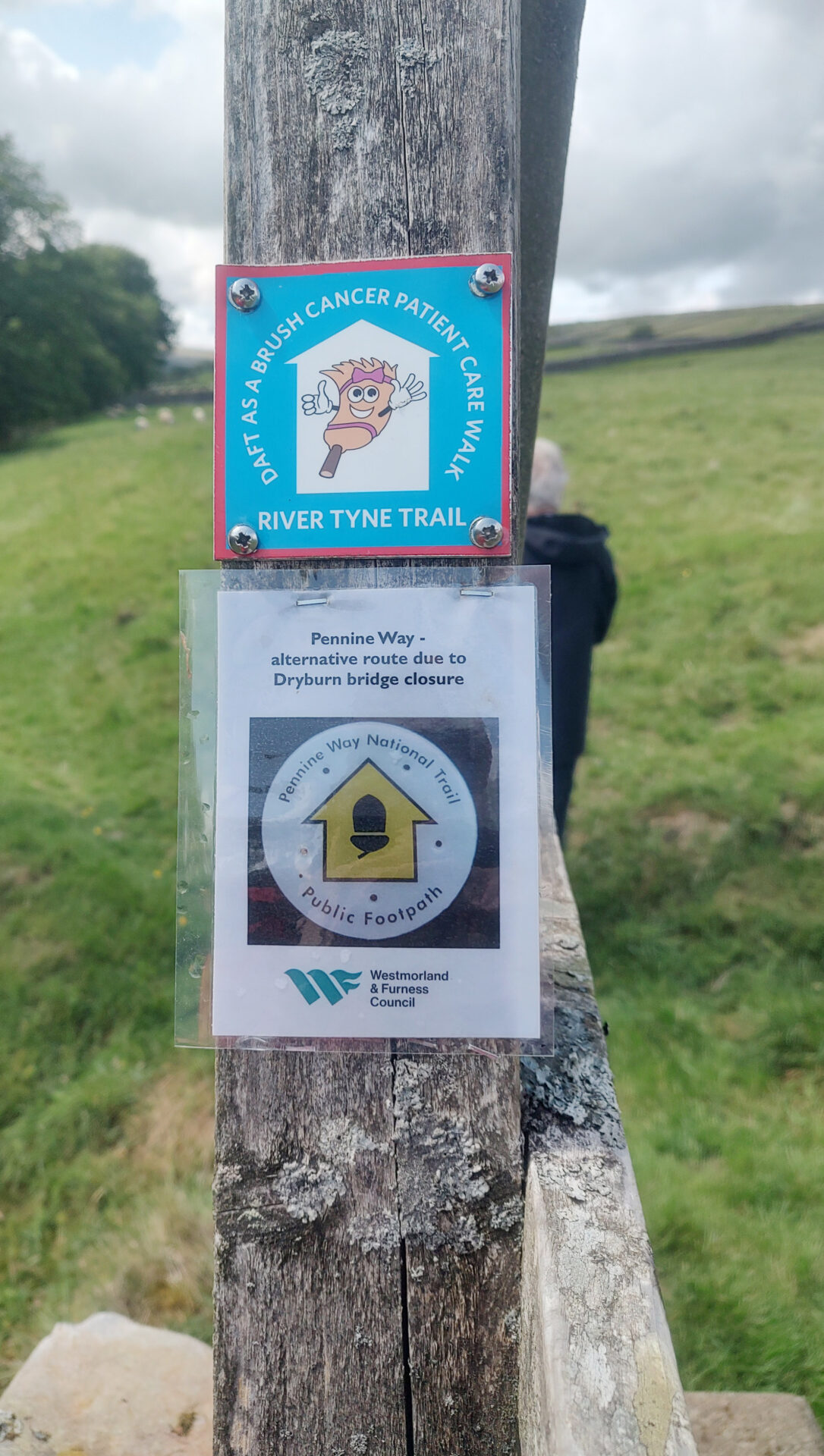
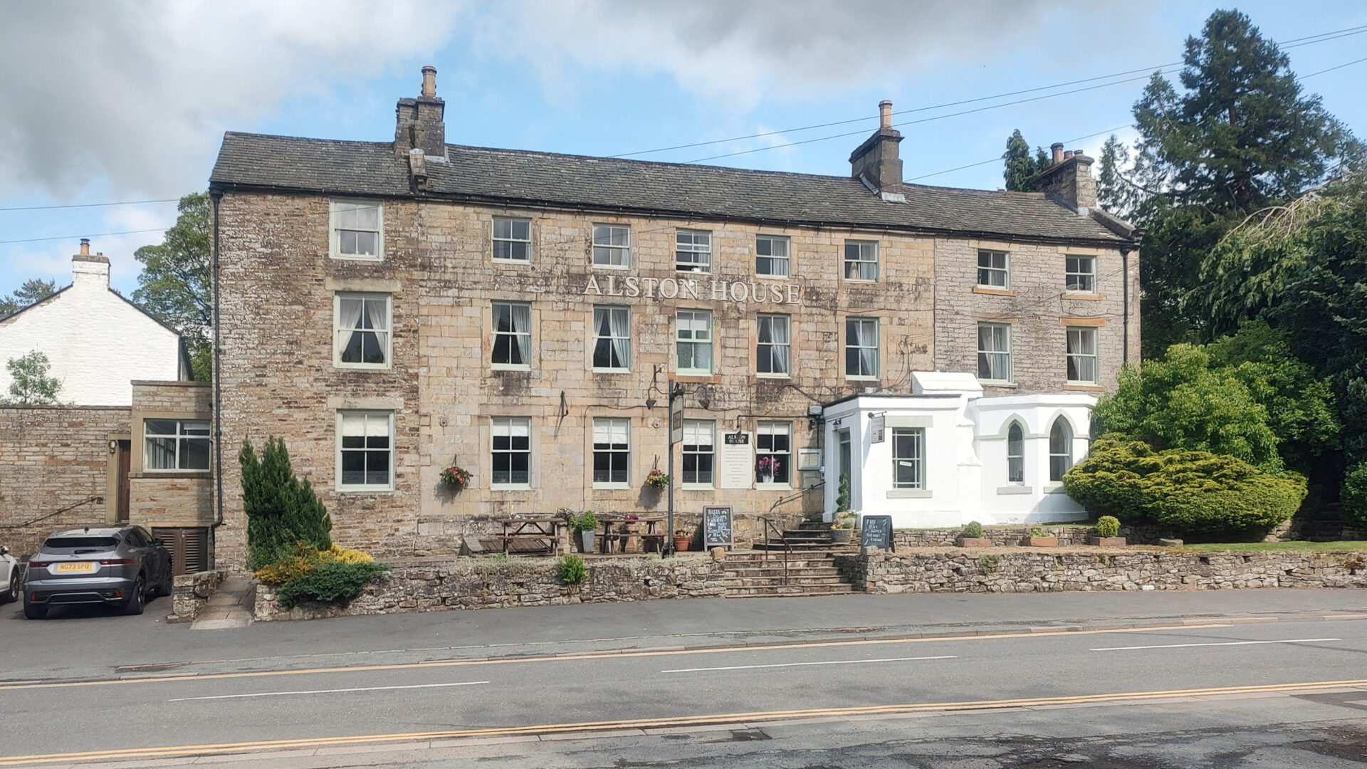
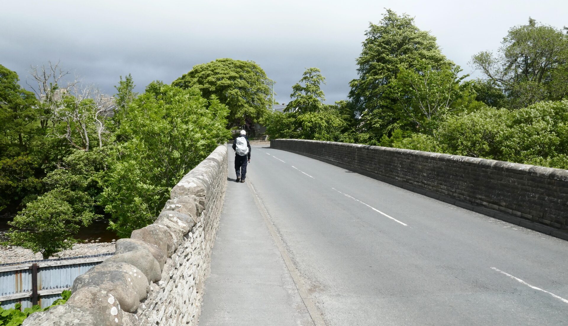
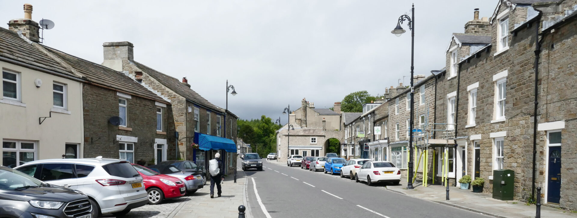
It was just a couple of hours drive from Horton so at 2.30pm Al and I were walking from Garrigill via the alternative route because the bridge over the river was still closed about halfway to Alston. After a 4.5 mile stroll we arrived in the car park of our hotel, the Alston House, at 4.40pm. It’s actually about a 1.5 hour easy walk from Garrigill to Alston House but we ambled along and Al chatted to a couple that we met about beekeeping, once he get’s started on this it’s difficult to drag him away!
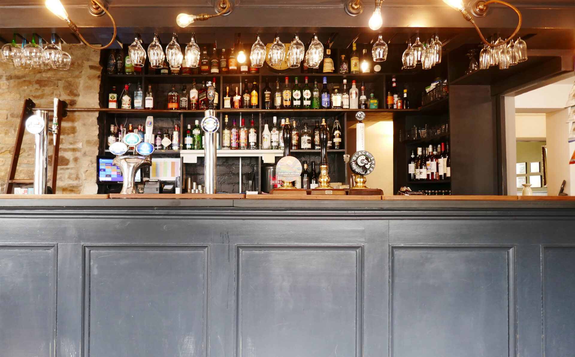
It was a bit early to stop so we continued to the Turks Head pub for a pint or two of Theakstons Bitter in the town square, which was another 10 minutes.
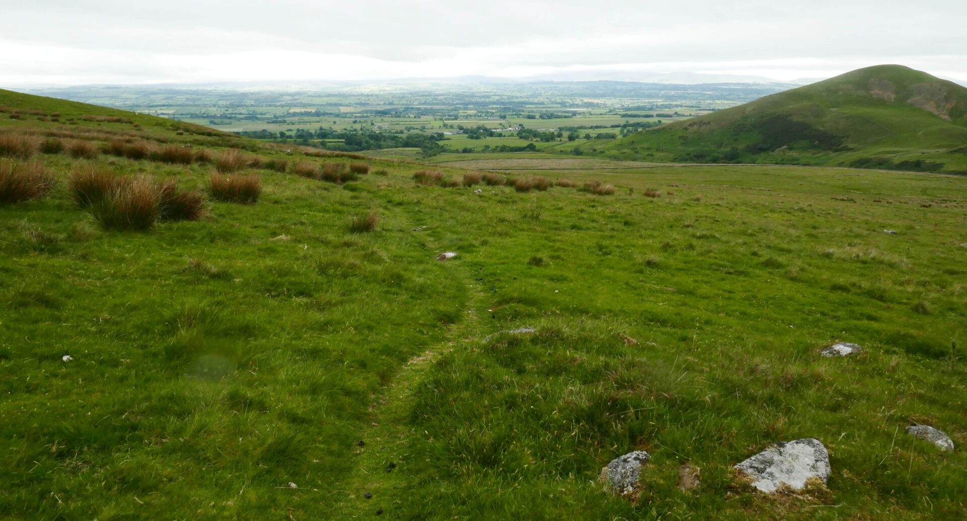
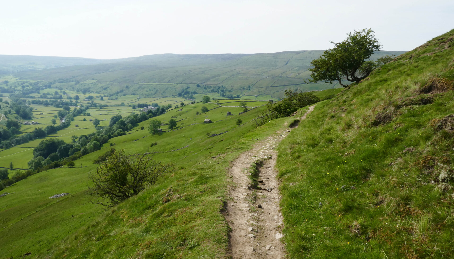
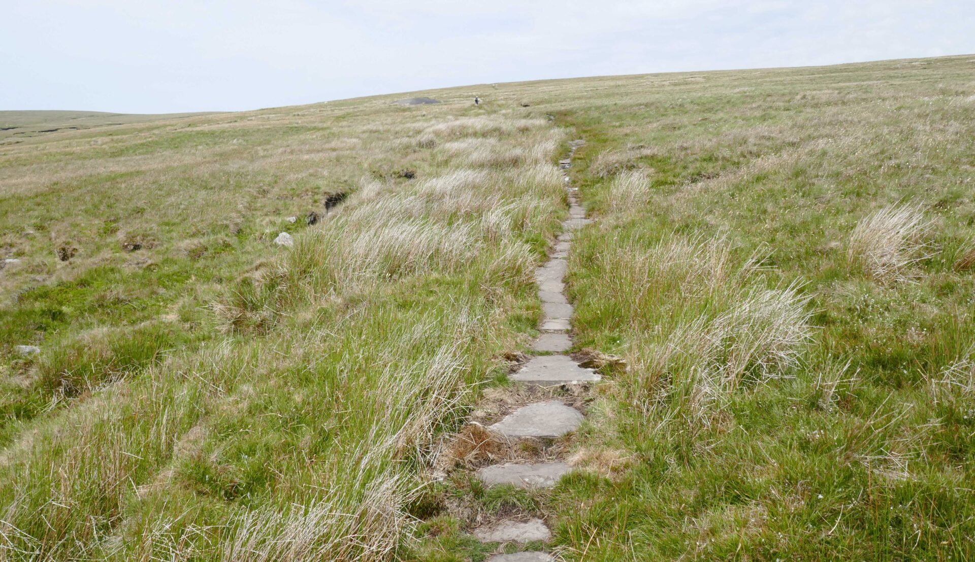
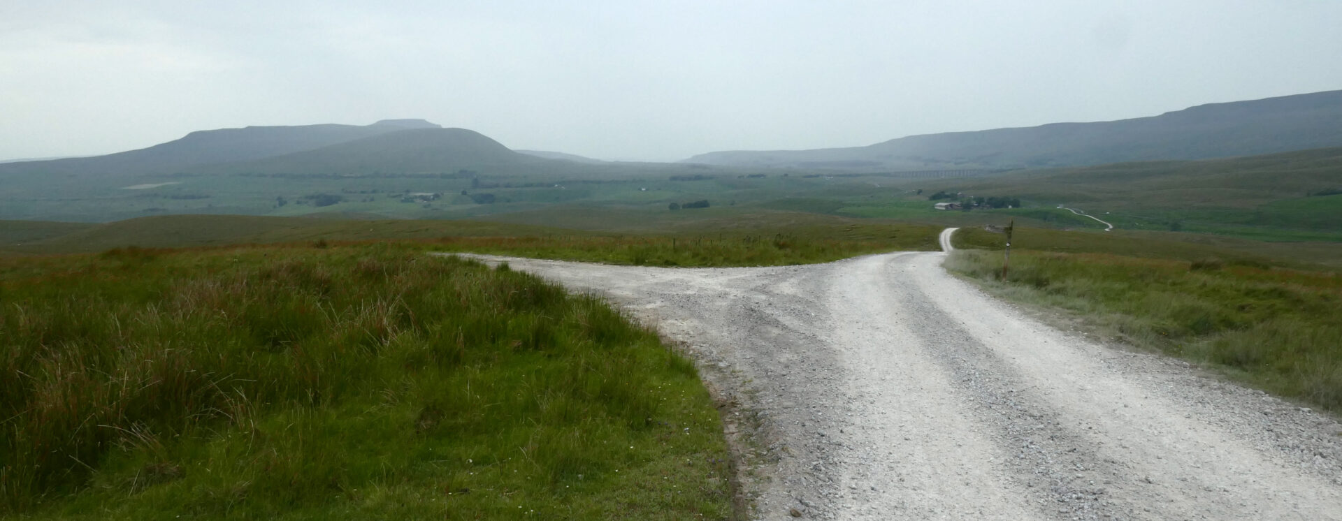
Day 7 Garrigill to Dufton 15.7 miles 6h 40m
Weather: sunny with blue sky as we started but it quickly clouded over and became cooler. Early afternoon the clouds came down on the tops but by this stage we were already beyond Cross Fell. It was brighter at the end of the day as we walked down Knock Fell out of the clouds and into Dufton.
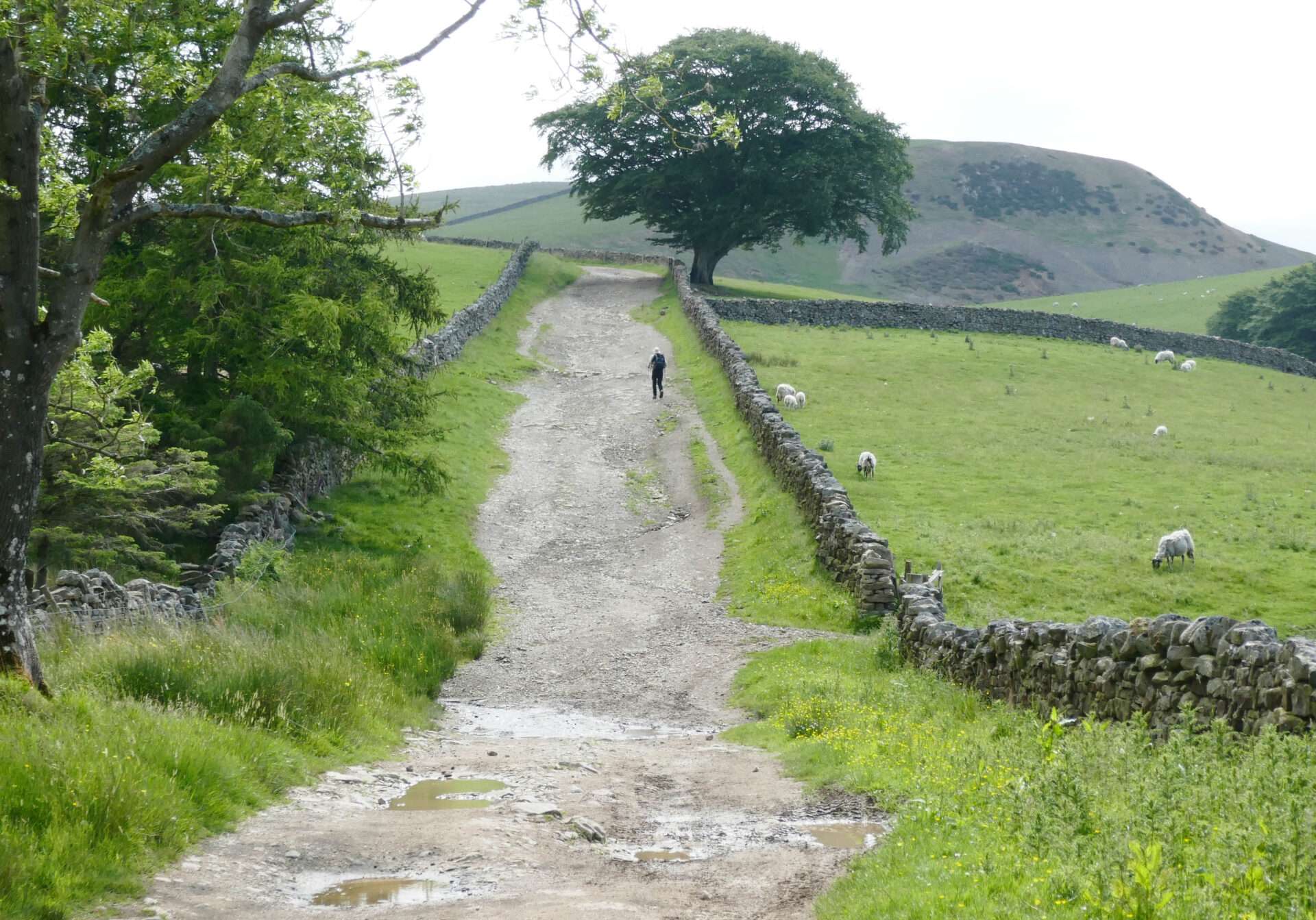
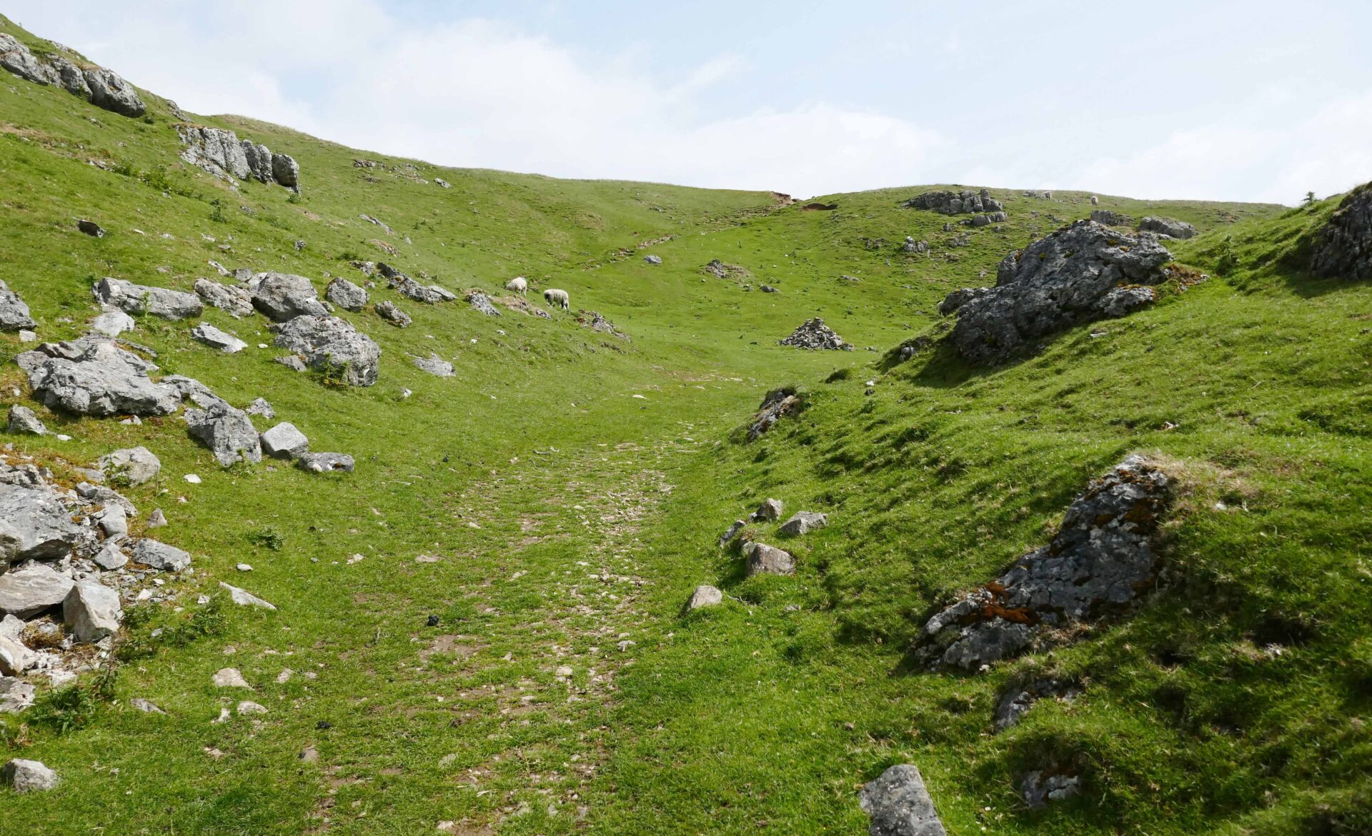
After a good cooked breakfast at the hotel Jan drove us back to Garrigill and at 9.35am we were on our way up Cross Fell en route to Dufton on a tarmac road which led to a good wide track over the moors towards Cross Fell.
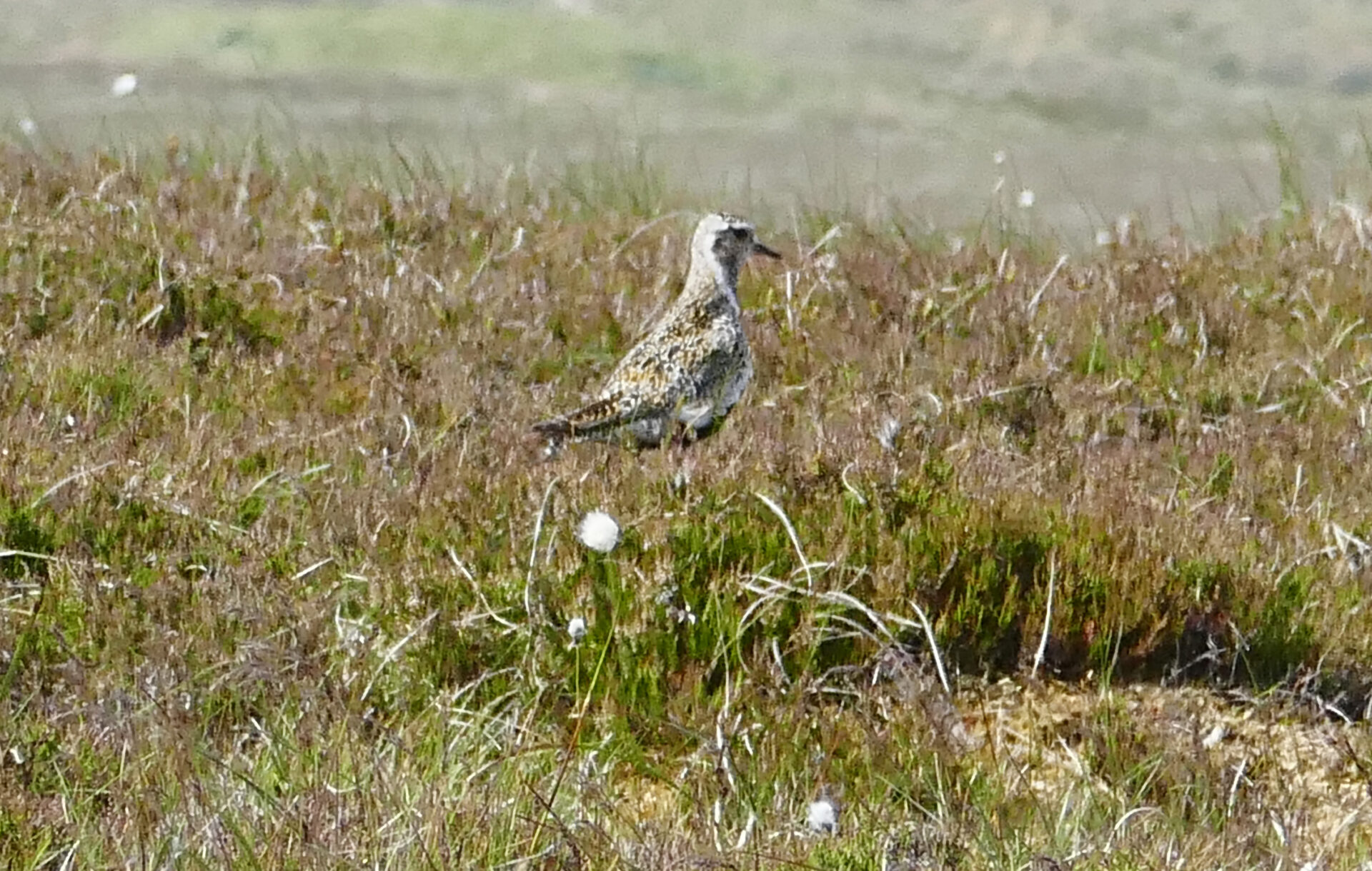
In just under an hour we started seeing several Golden Plovers close to the track with shooting butts and small reservoirs close by.
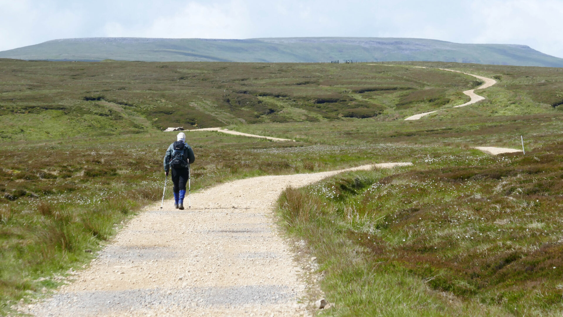
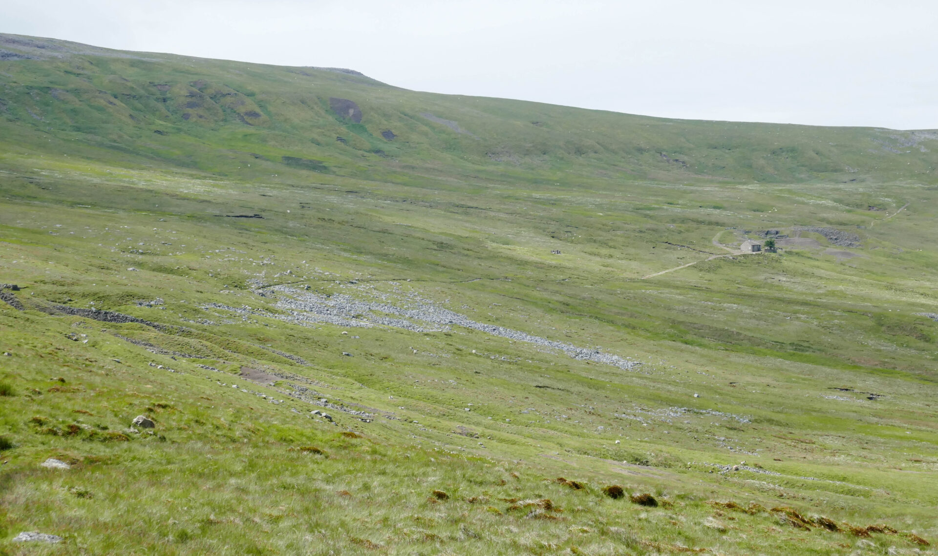
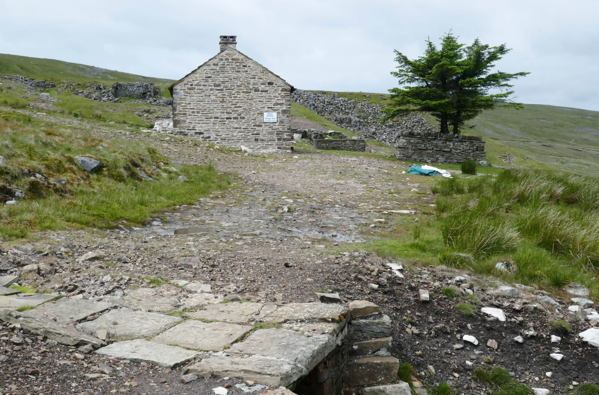
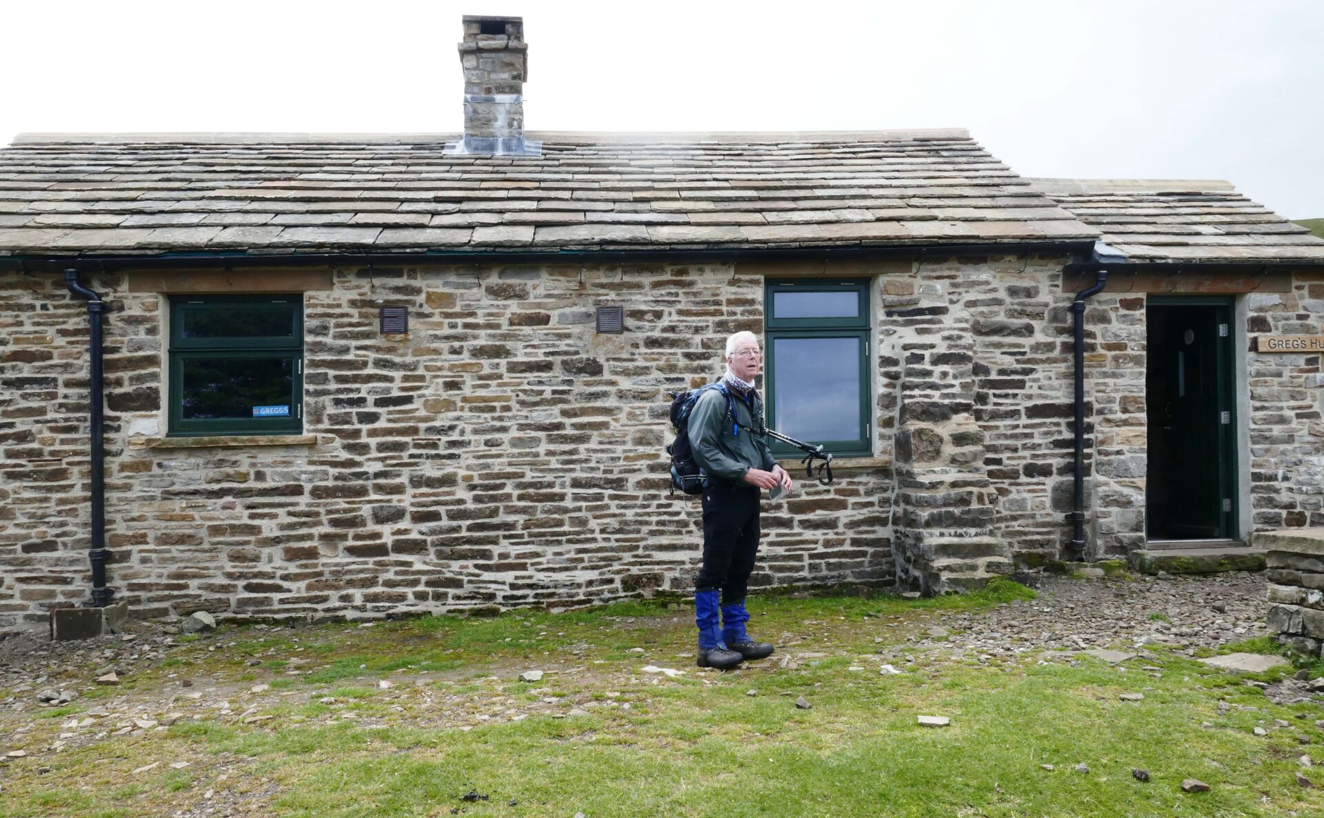
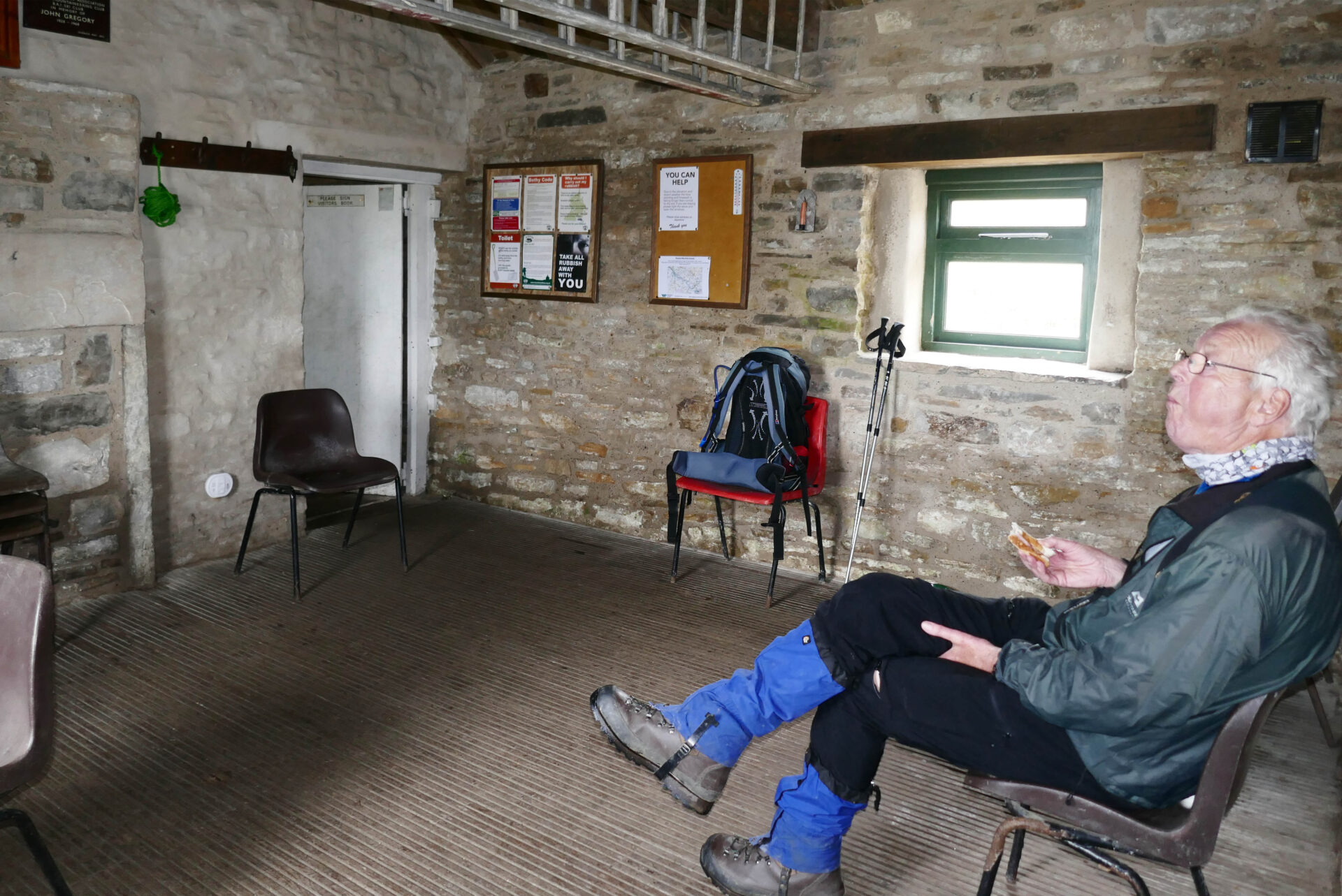
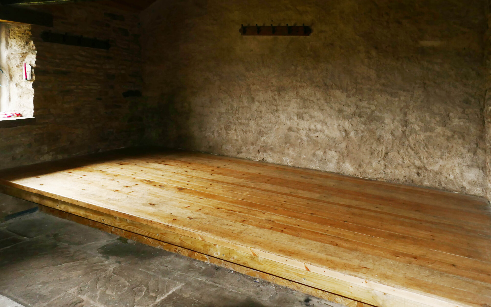
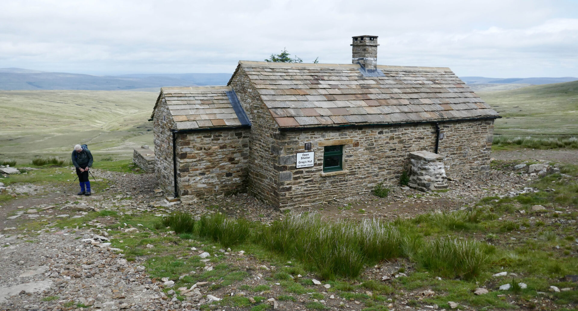
The good track continued all the way to Gregs Hut which was 6 miles and 2h 25m from our start in Garrigill. This is a mountain bothy with a communal area and a separate room with a good sized sleeping platform. We stopped here for a 15 minute snack break.
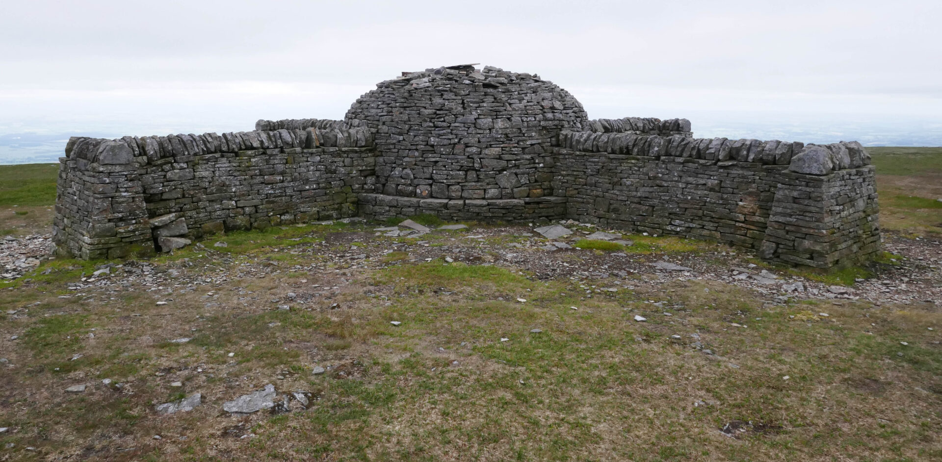
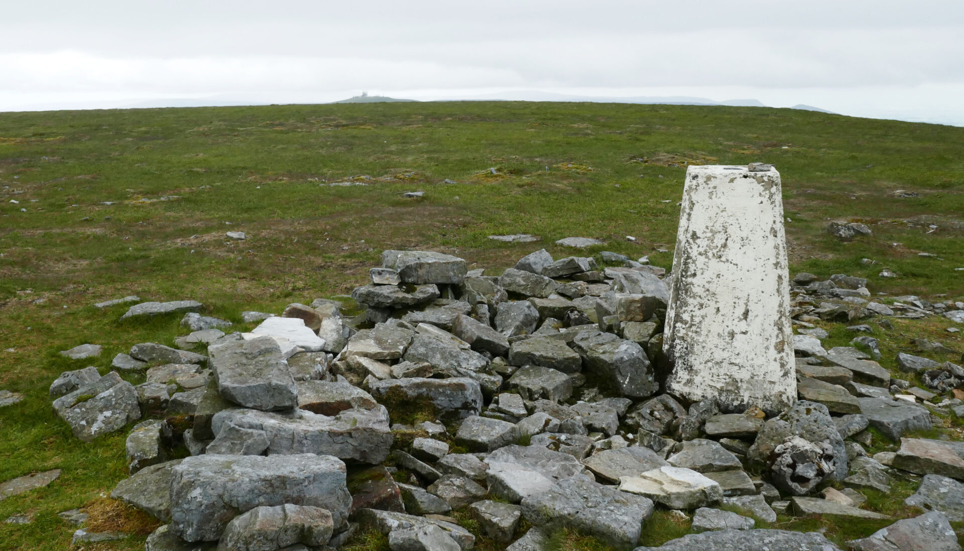
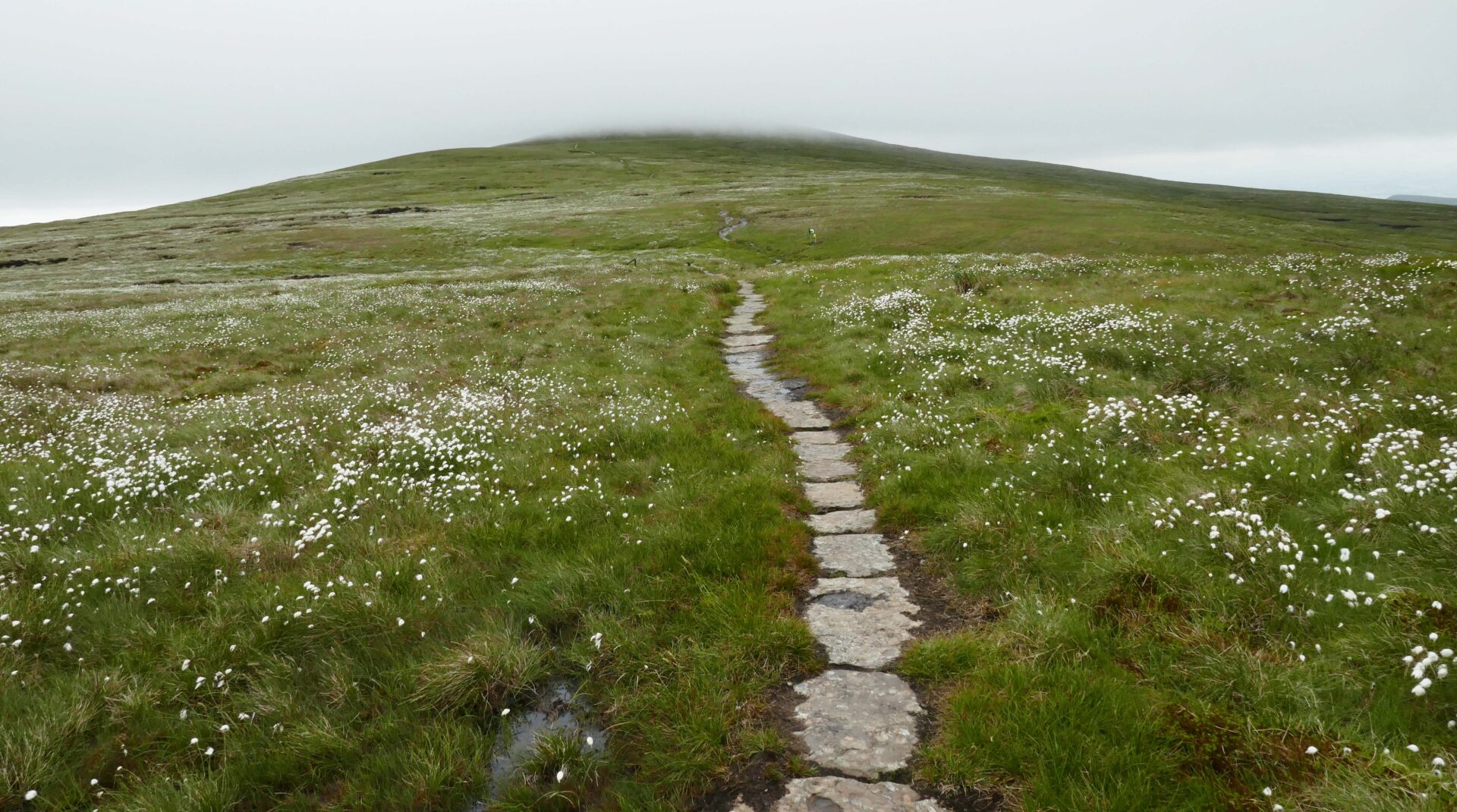
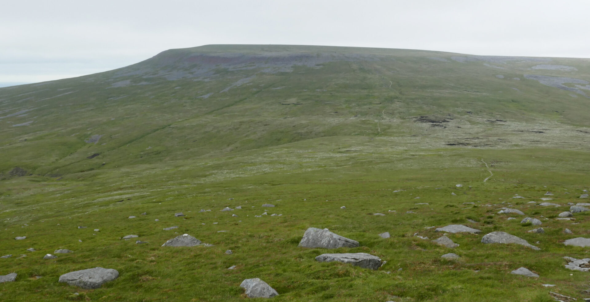
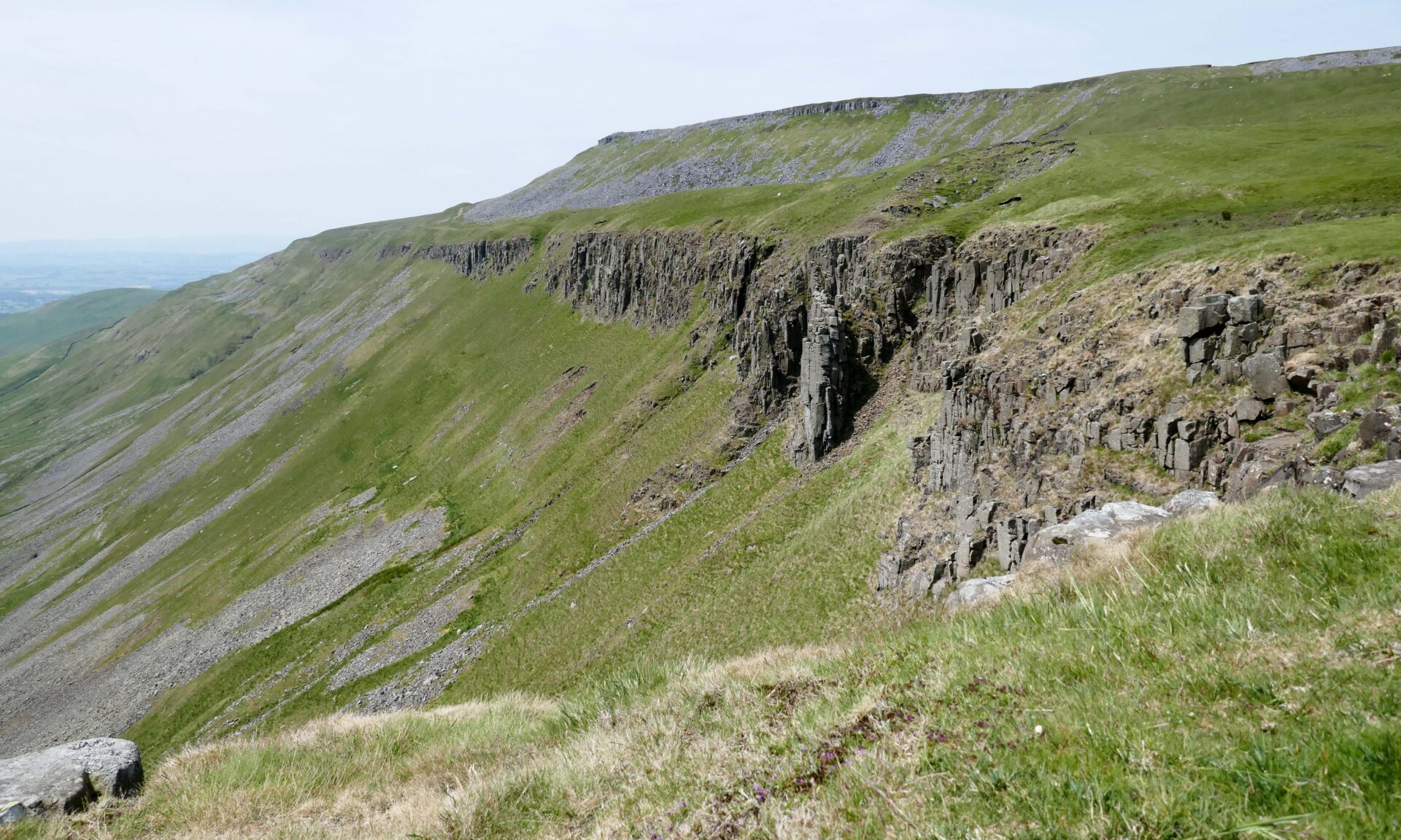
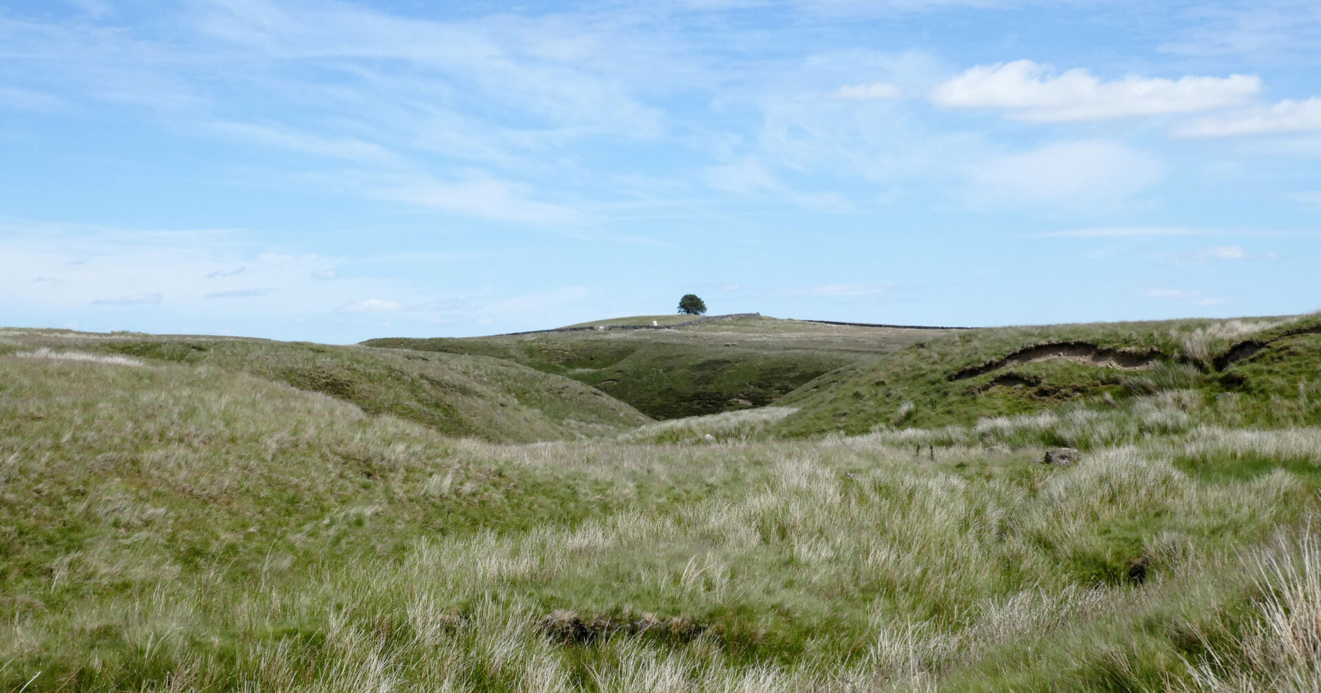
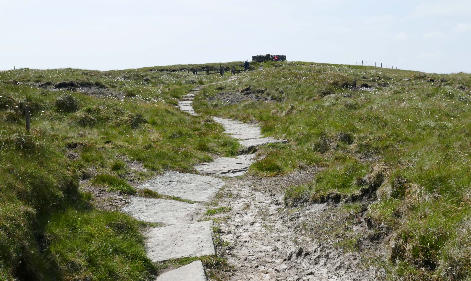
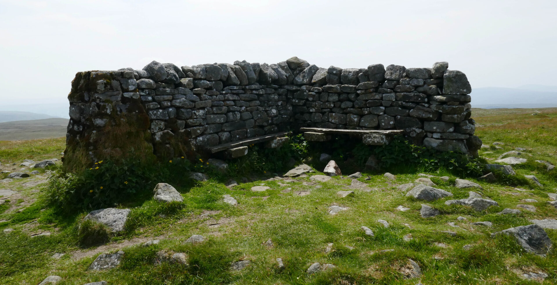
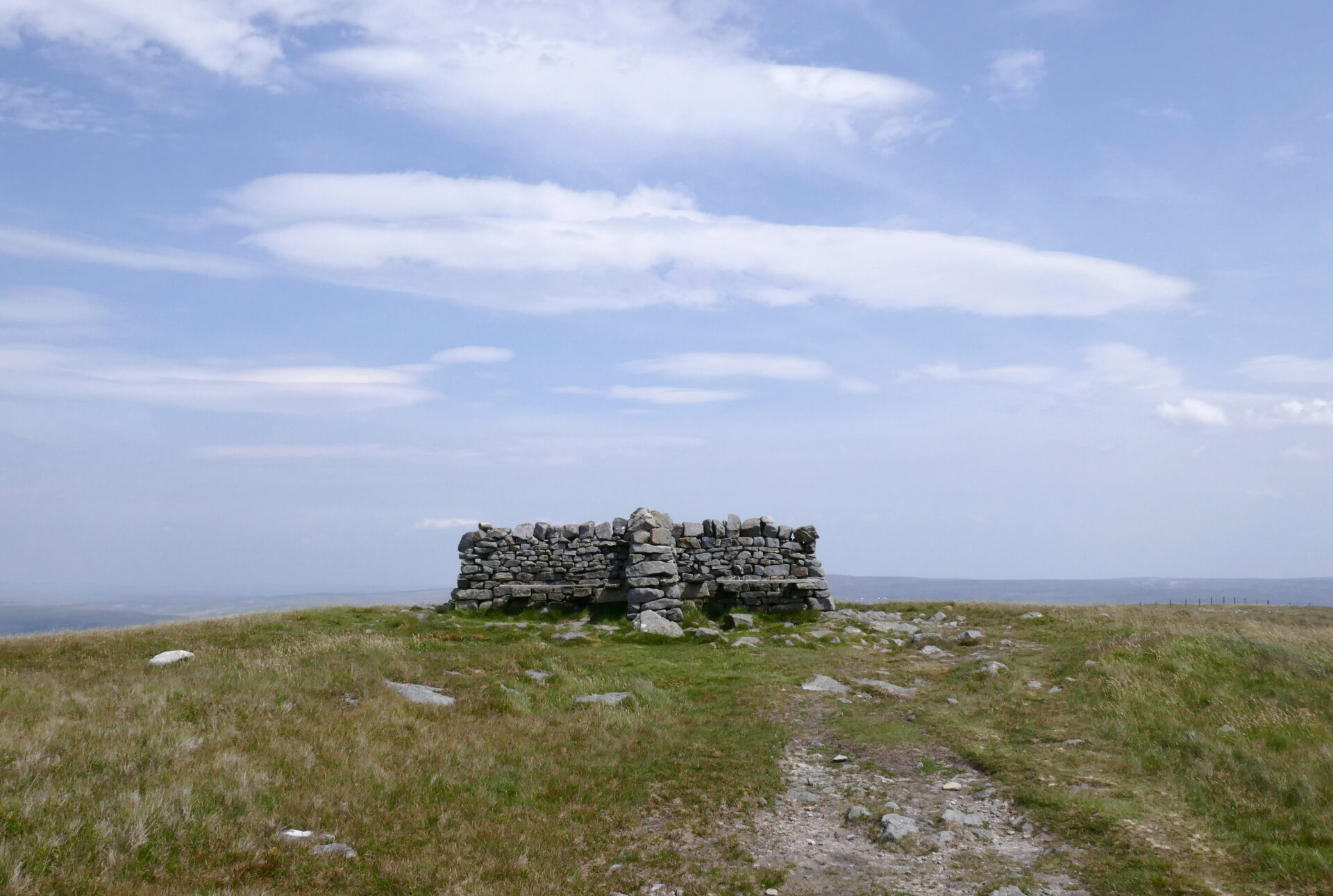
At 12.15pm we left the hut and just headed straight up towards the summit plateau as the obvious track was taking us a longer way round. It was just rough grass and heather, a bit lumpy in places, not too steep but pretty straightforward. The summit of Cross Fell was reached at 12.55pm. There’s a huge wind shelter and a trig point a short distance further on. It was dull and breezy but clear so we did have a few views, unlike the last time I did the Pennine Way in 1974.
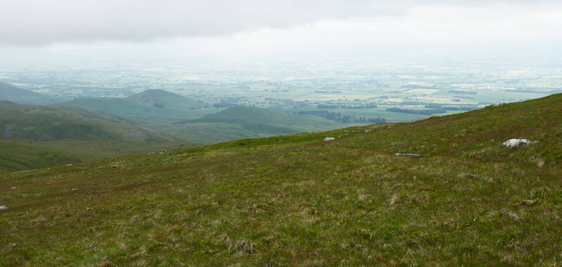
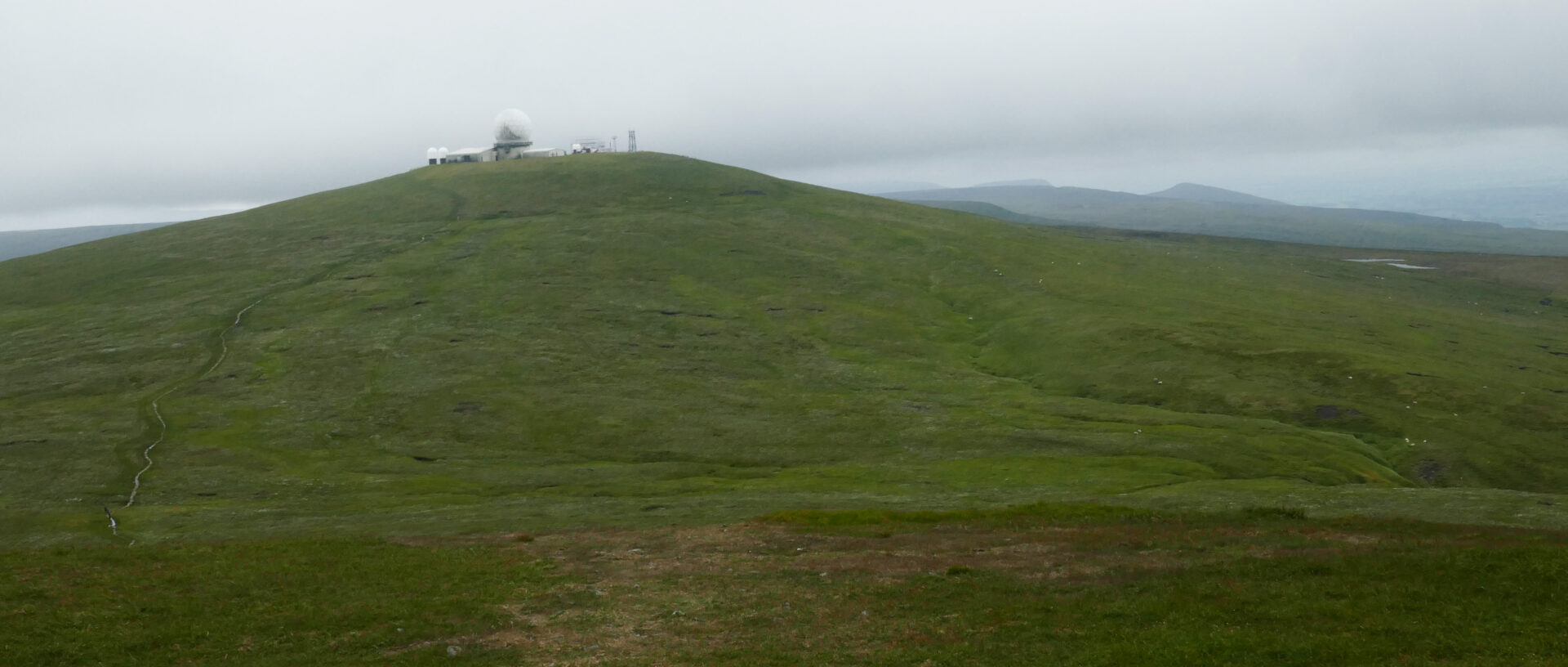
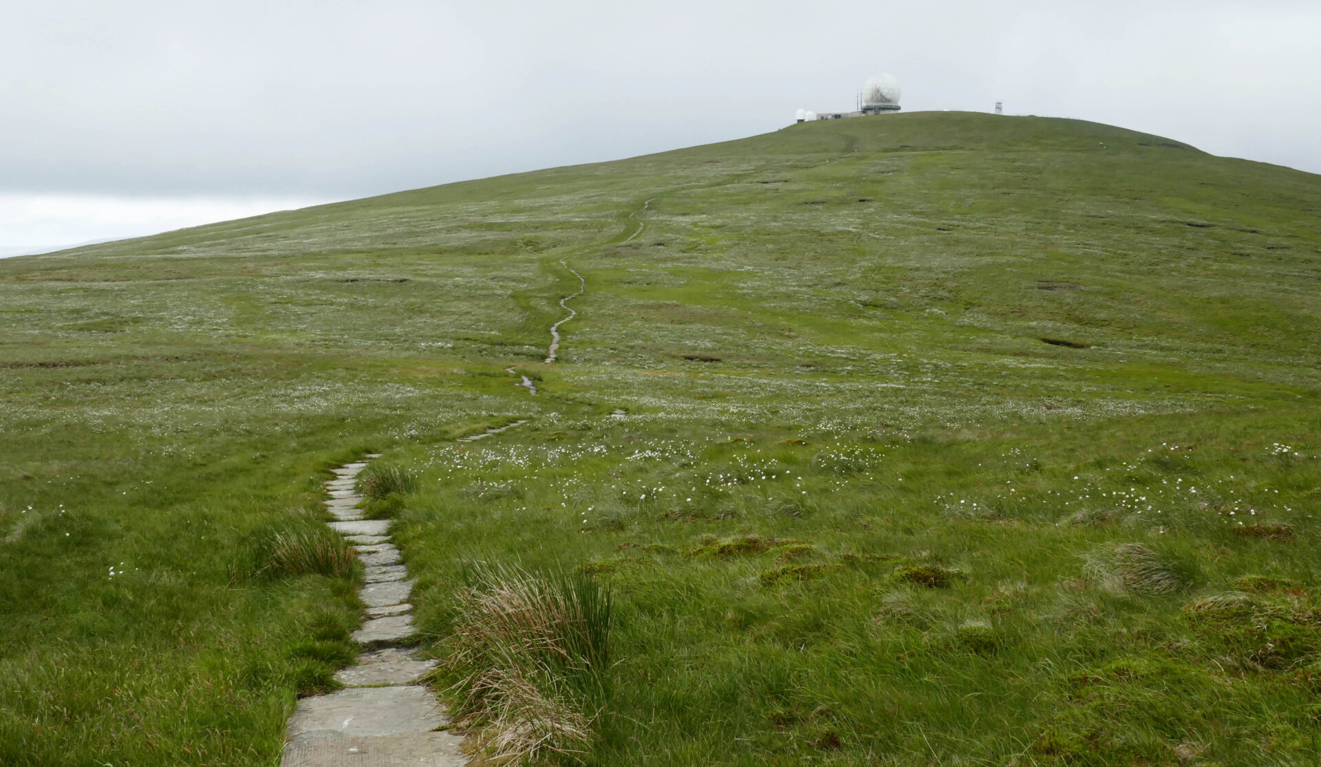
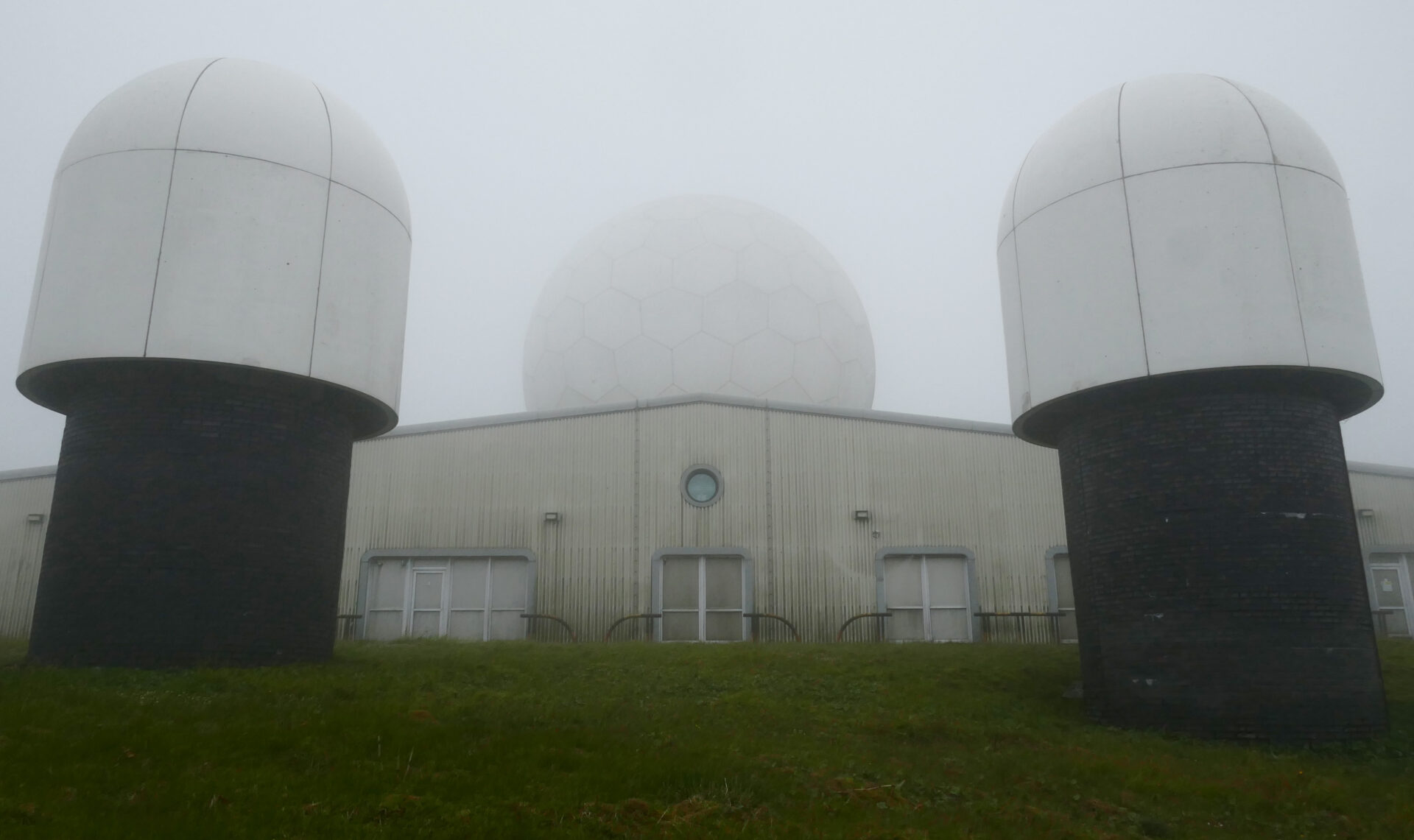
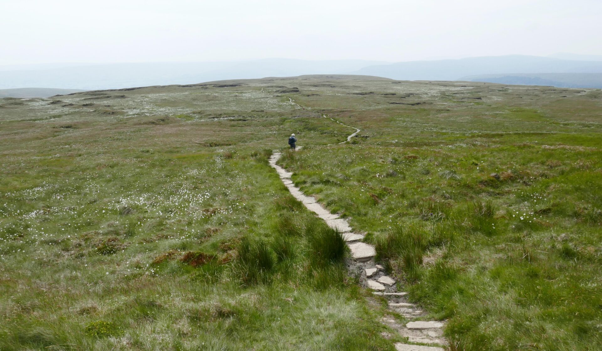
From Cross Fell, the highest point on the entire Pennine Way, we headed along the good path down and then up to Little Dun Fell. The clouds were closing in now so views were disappearing on high ground ahead but we had views from the dips in the ridge. Cross Fell behind us still looked clear. By the time we reached Great Dun Fell at 1.40pm the clouds were right down and visibility was very limited so we followed the GPS. The radar station, with domes and masts, on Great Dun Fell looked quite menacing in the mist!
I also carried maps and a compass but we never needed them for navigation, just for identifying the bigger views beyond the small screen of the GPS.
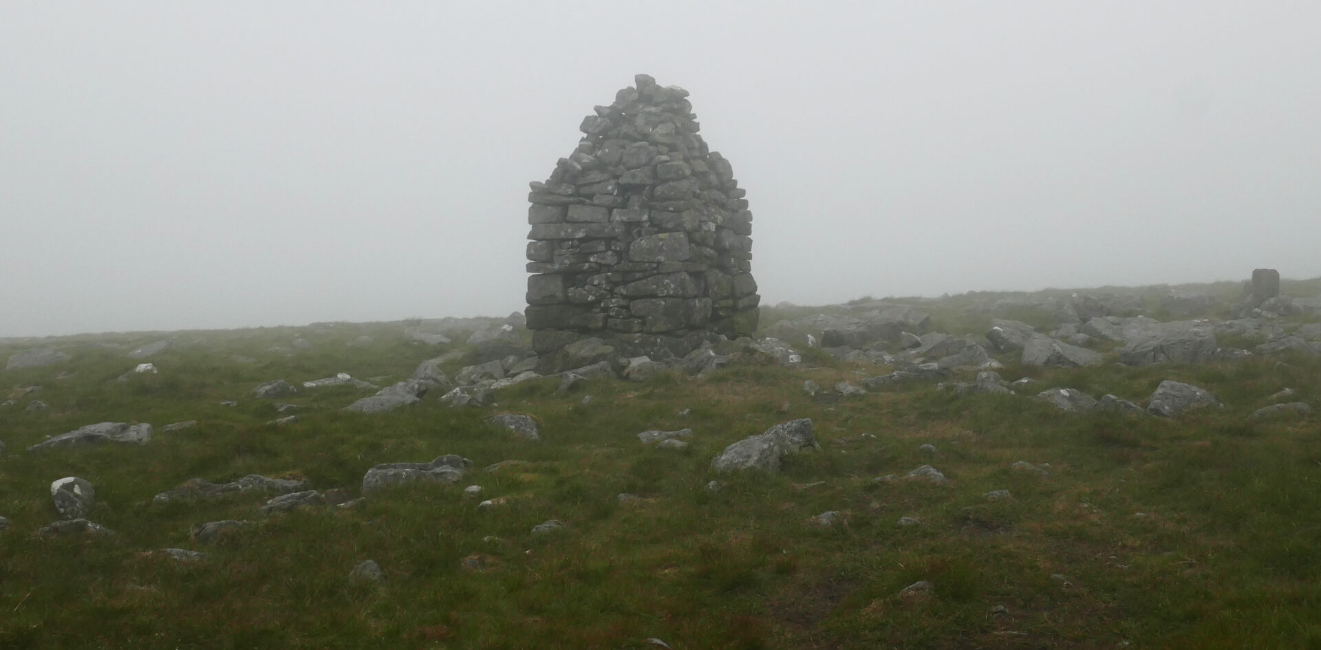
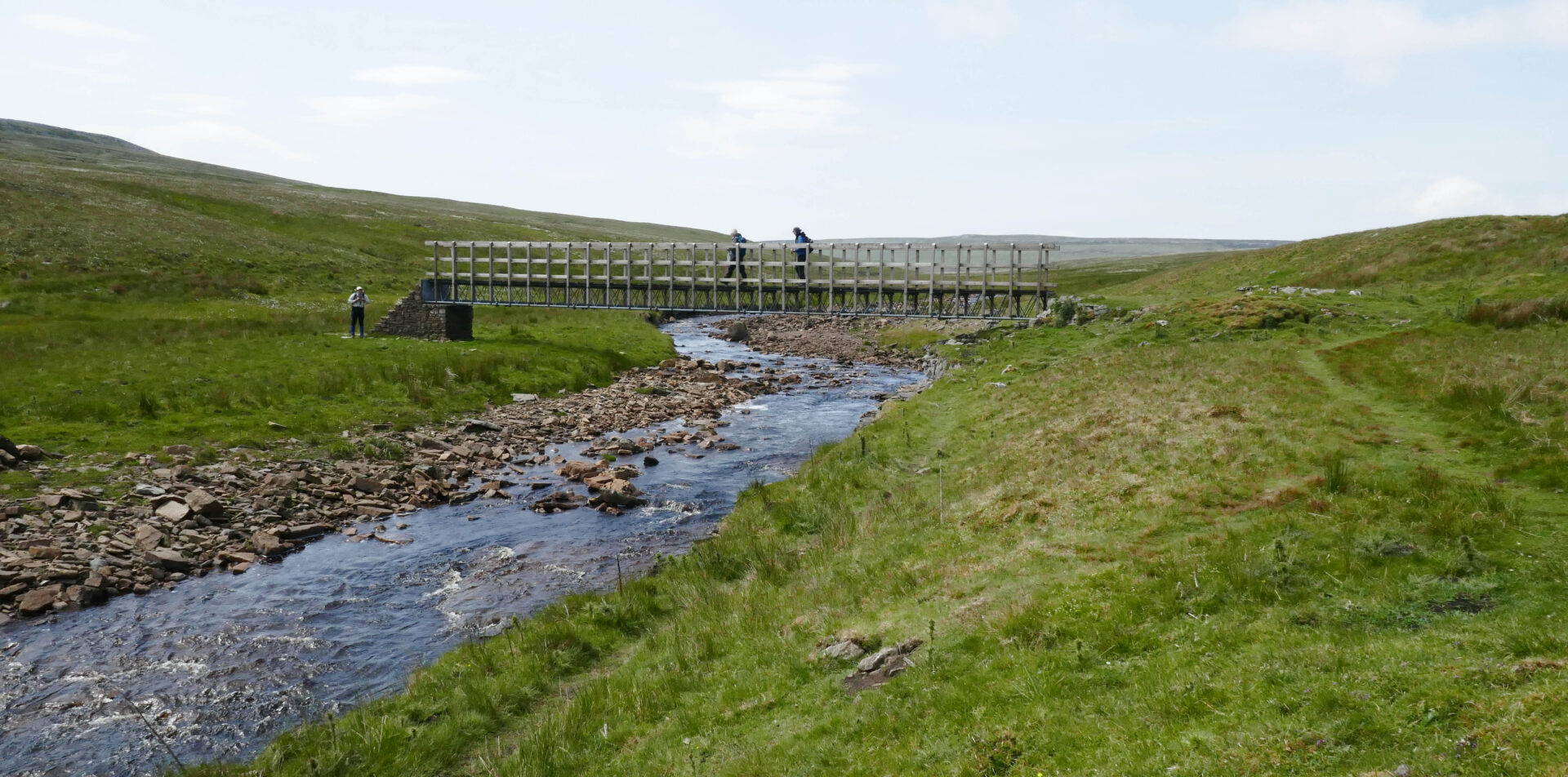
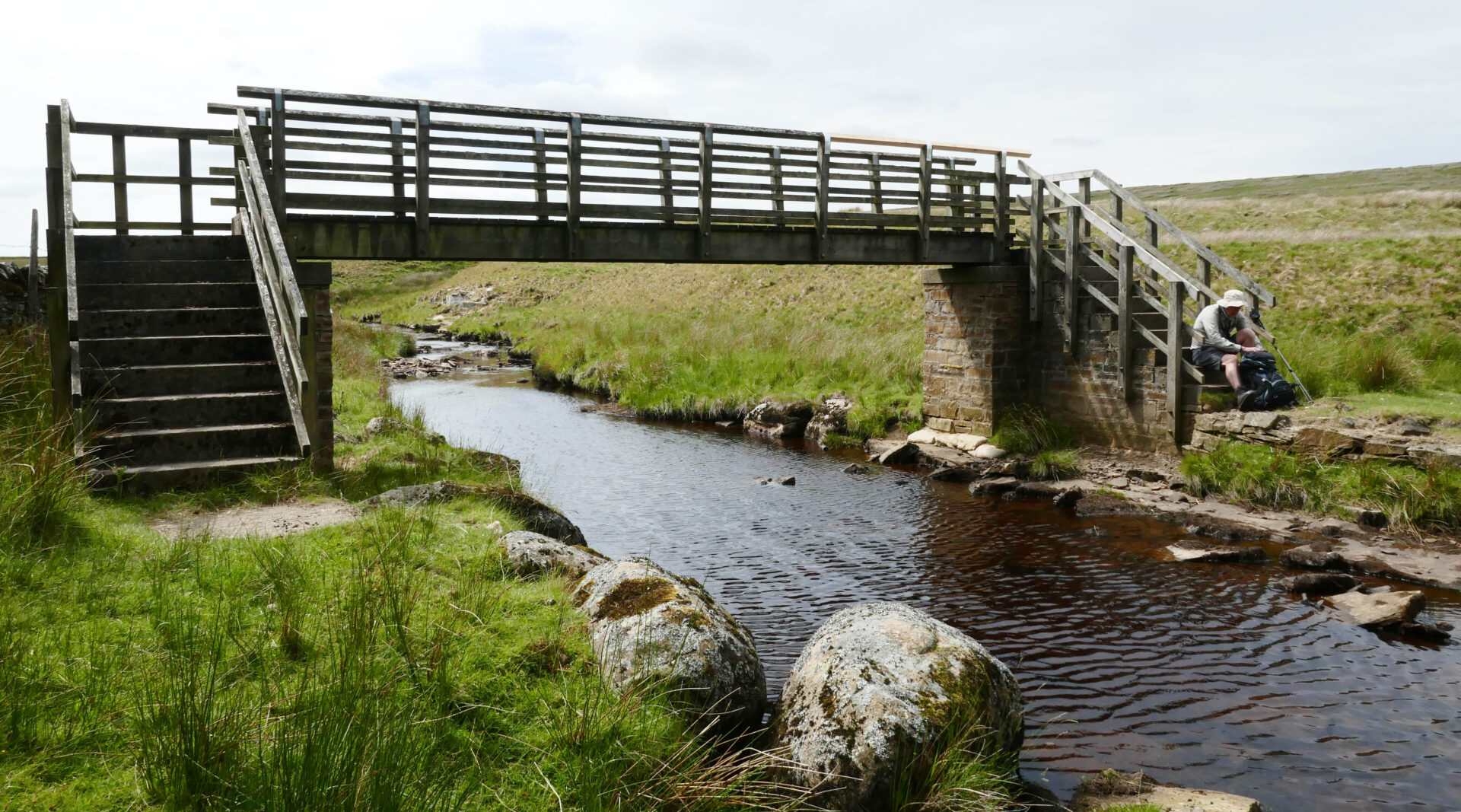
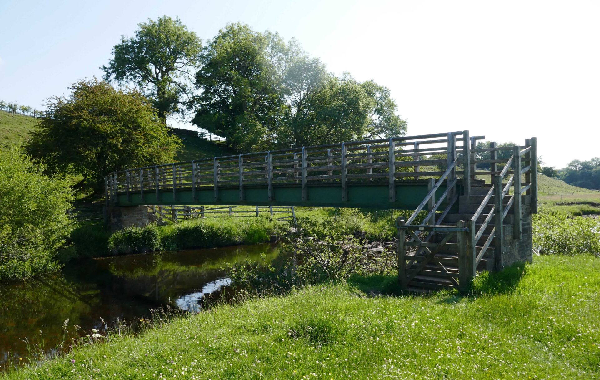
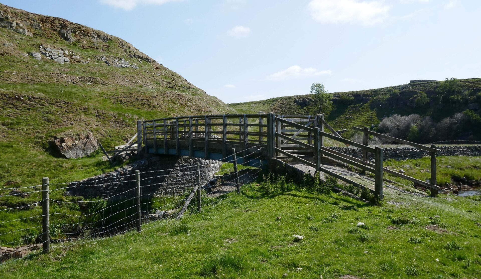
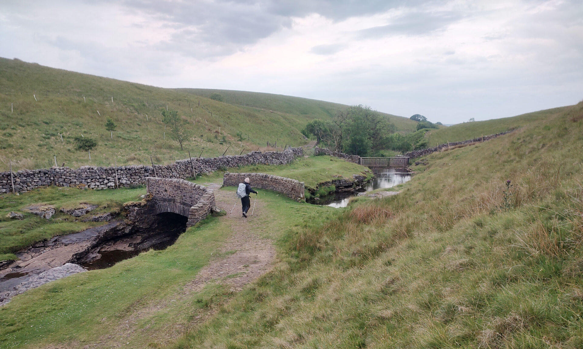
Next, at 2.24pm, came Knock Old Man cairn and then it was down and out of the clouds to a substantial footbridge over a stream at 3.10pm.
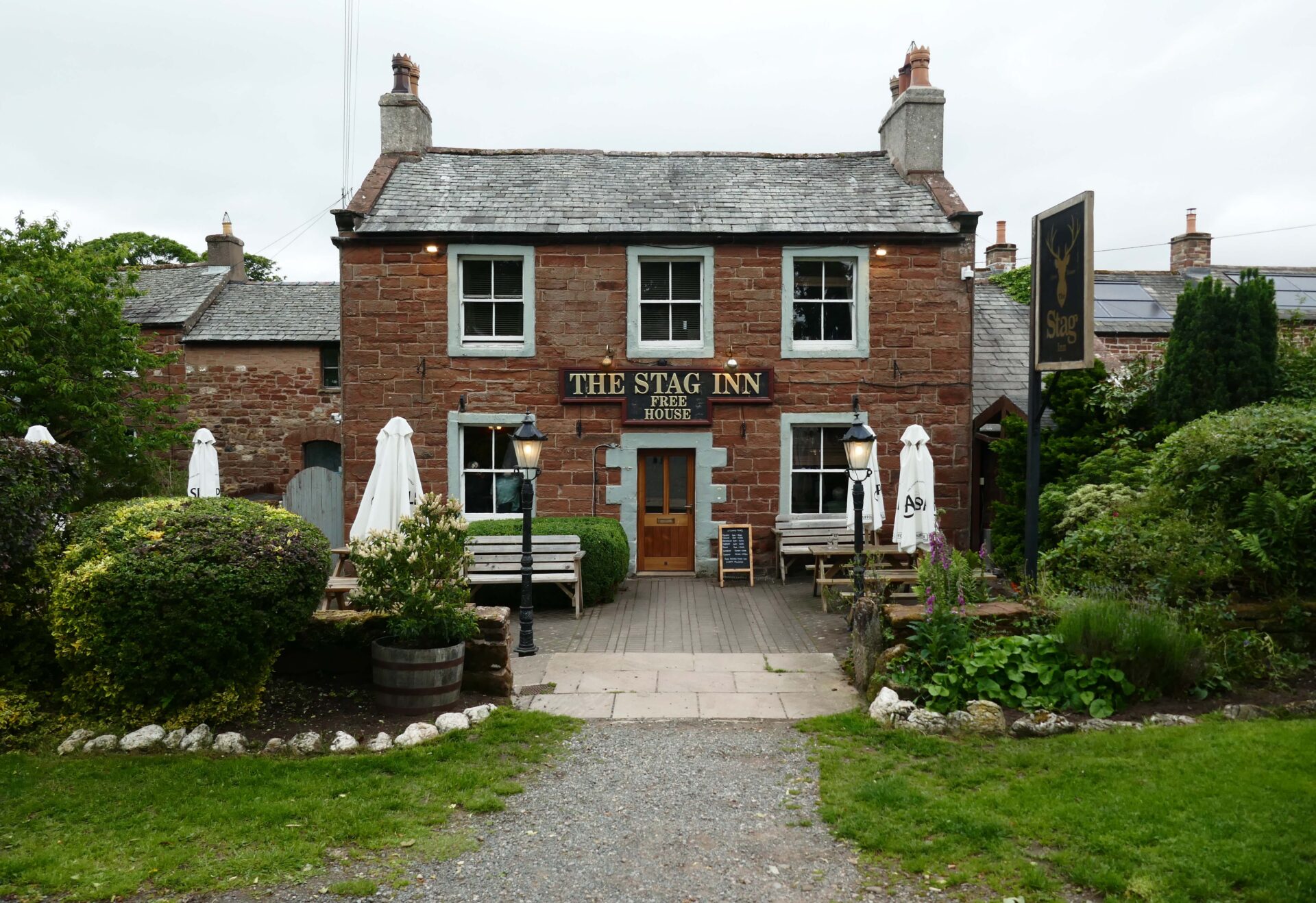
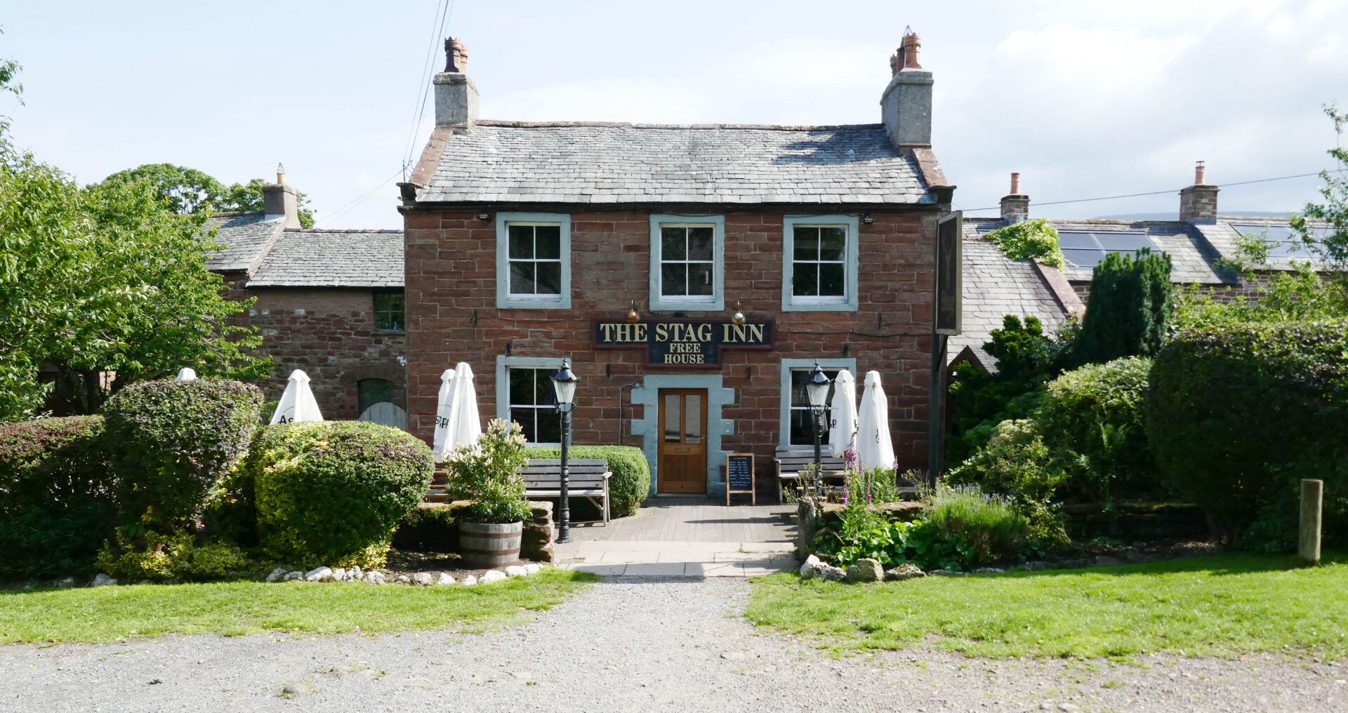
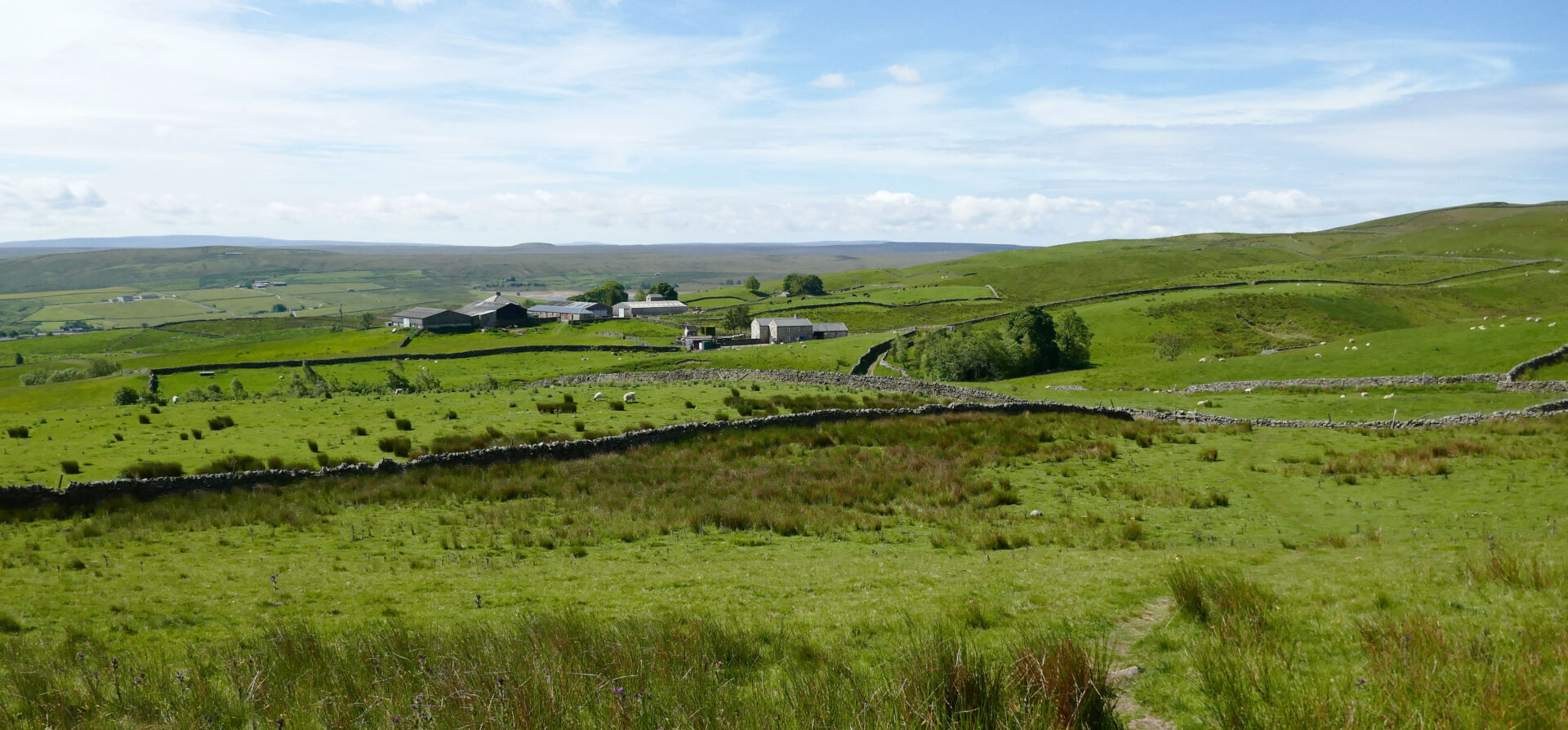
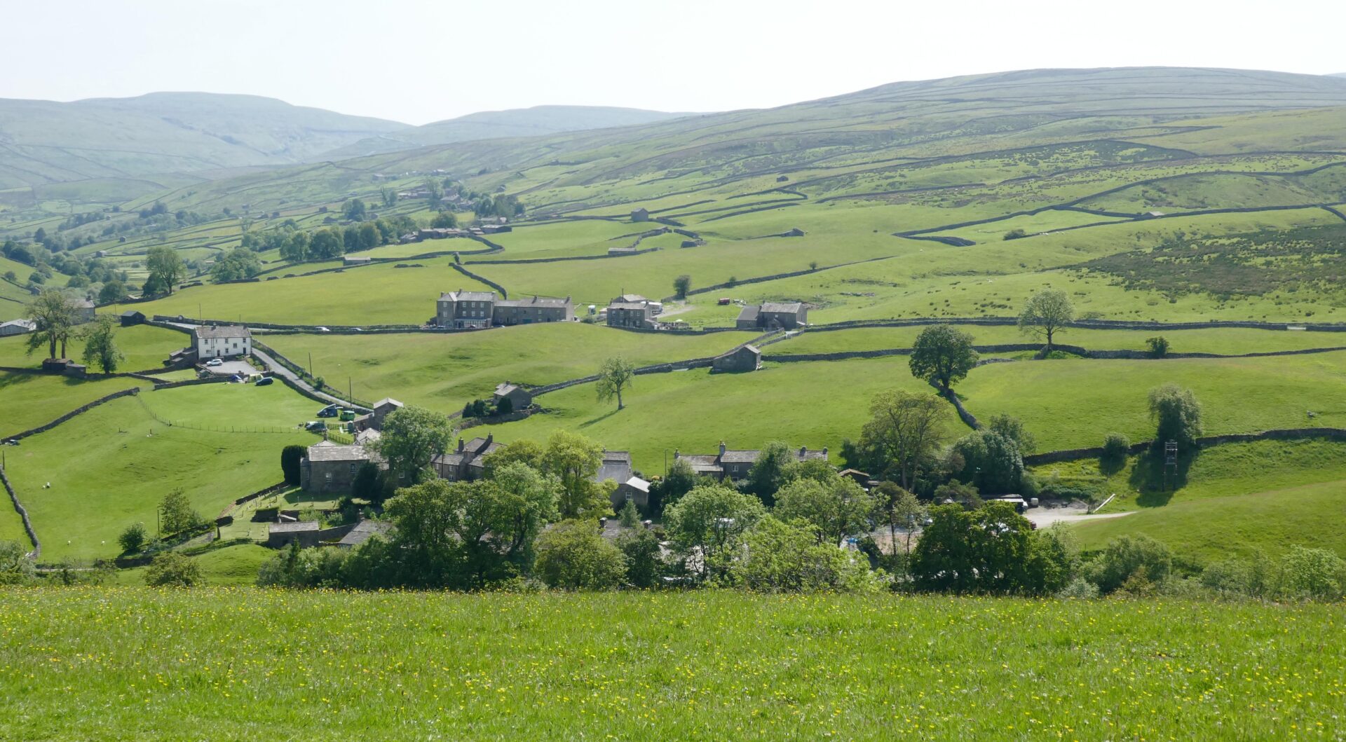
From here the good tracks continued through fields between shapely looking low hills to reach the day’s end at the Stag Inn in the centre of Dufton at 4.15pm.
Jan was there in the car to meet us and we all went in the pub for a drink.
It was quite busy with the end of the Sunday lunch crowd still there. We found somewhere to sit and I had 2 pints of Jolly Colliers Stout from the Jolly Boys Brewery. It was jolly tasty and went down very well after a jolly long first day!
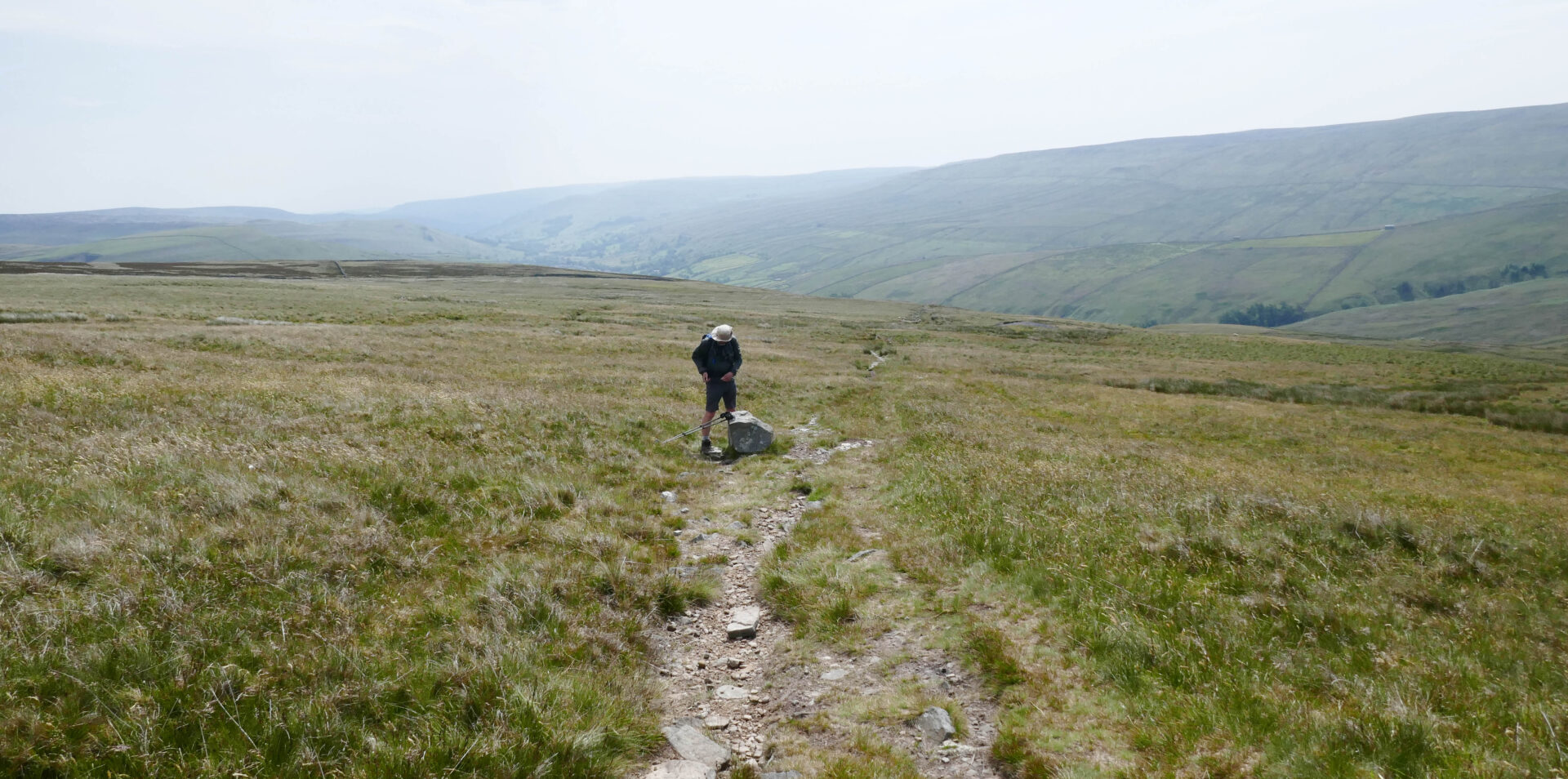
Day 8 Dufton to Langdon Beck 13.5 miles 6h 15m
Weather: It was a nice sunny day but very windy as we went higher with gusts of around 40mph on my wind speed meter.
After a good breakfast in the Alston House Hotel Jan drove Al and I round to Dufton and started walking at 10.15am along the road and then good tracks up the hillside. Jan drove home from here.
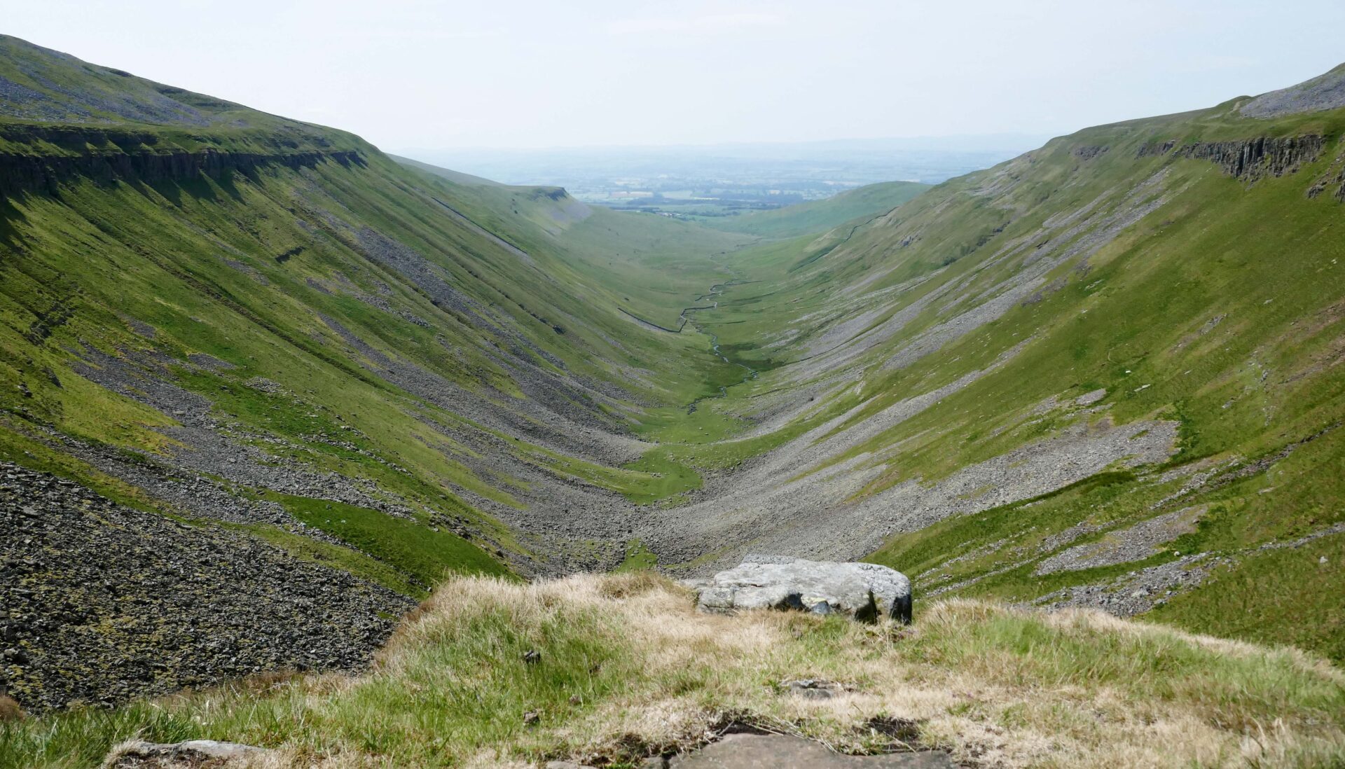
At 11.45am we had the first good views towards High Cup Nick from the rim. From here it took us about 30 minutes to reach the Nick, which is the very best viewpoint. It was a clear day so we had a spectacular view along the length of the narrow valley from our lunch break right in the middle of the Nick. I took quite a few photos so have a look at these to see what I mean. Unfortunately, I wasn’t carrying my medium format film camera with me or I would have some spectacular black and white landscapes.
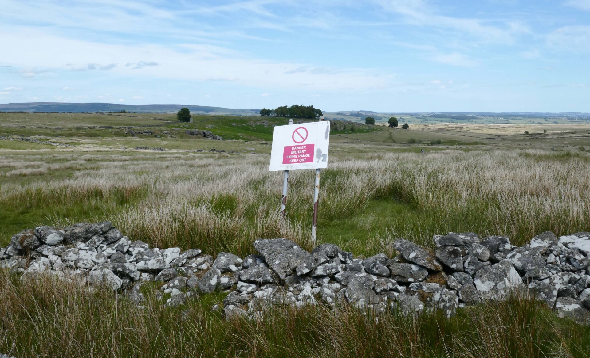
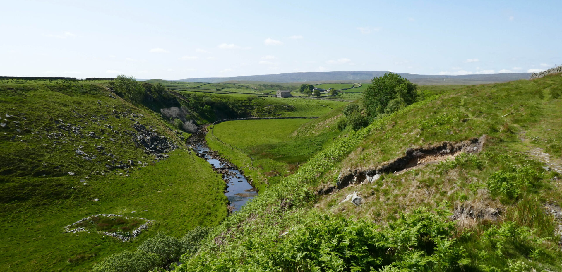
After about 15 minutes we headed off across High Cup Plain reaching the bridge over Maize Beck at 1.20pm. This was quickly followed by a sign telling us it was a military firing range on our right-hand side.
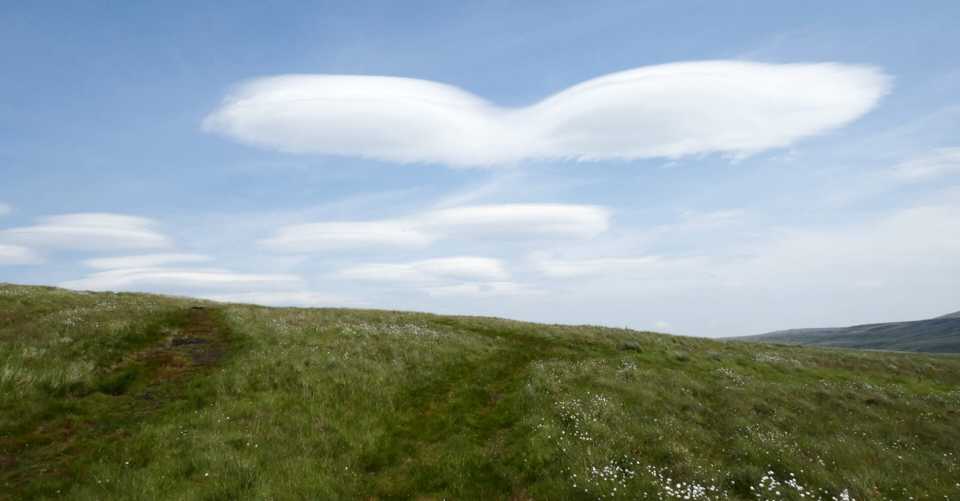
The lenticular clouds were spectacular for quite a while as we walked over the moors here (often a sign of bad weather to come).
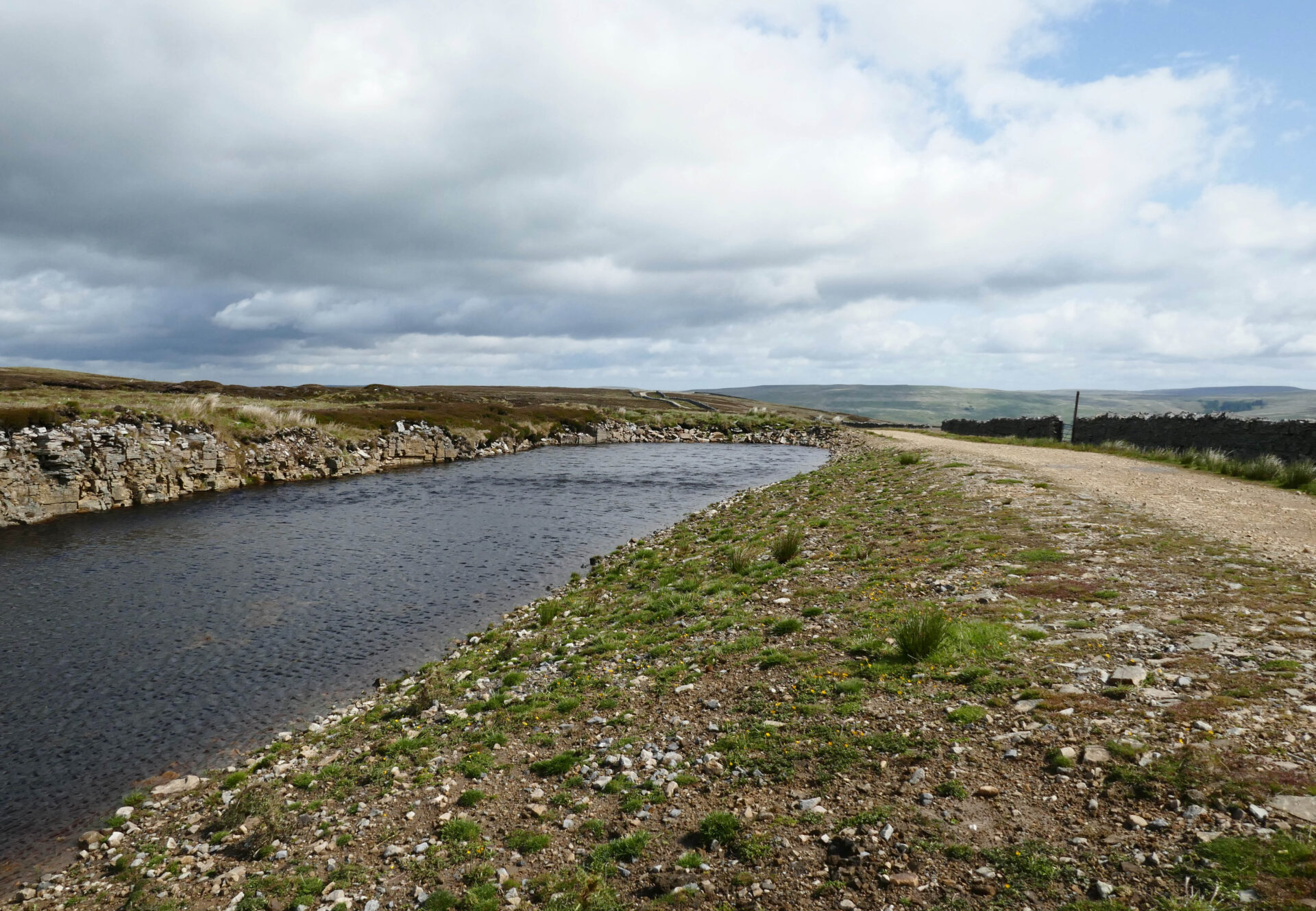
We were soon on the track to Blake Dale Farm, through the farmyard and out to the bridge below Cow Green Reservoir dam at 2.40pm.
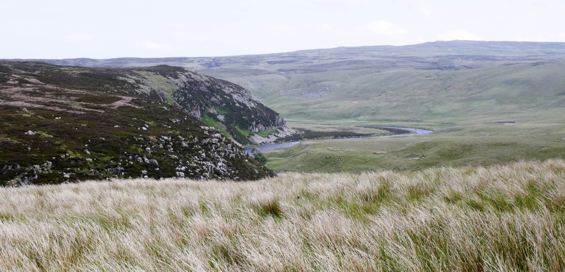
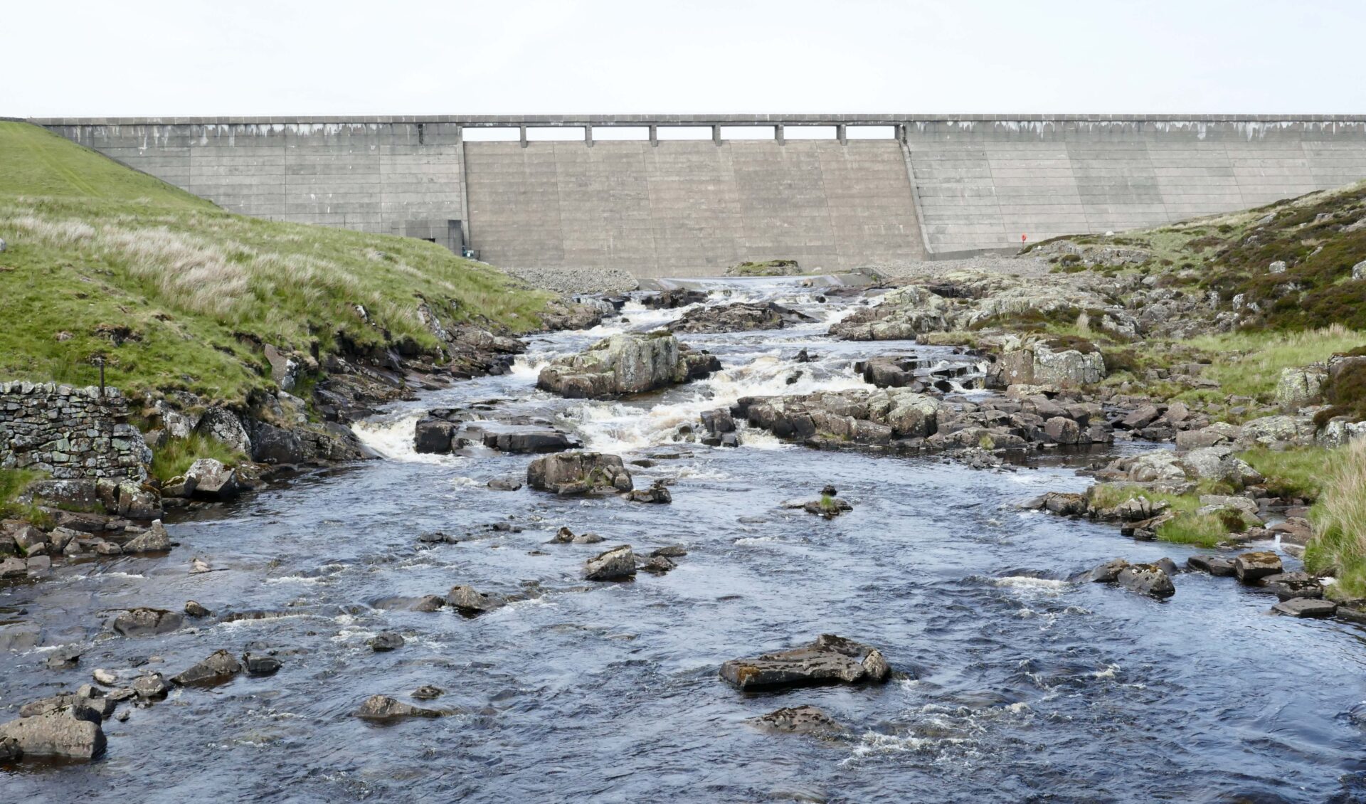
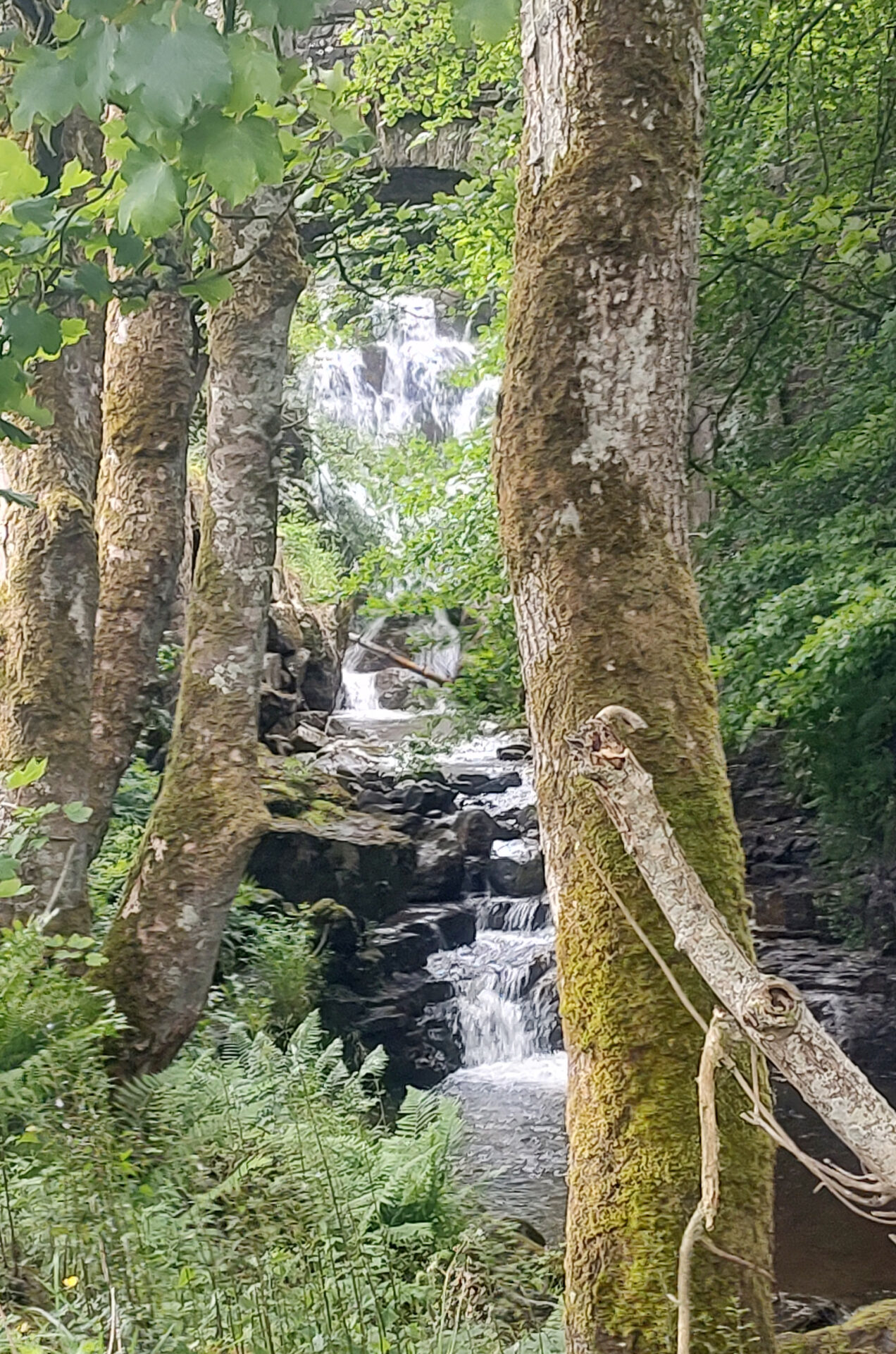
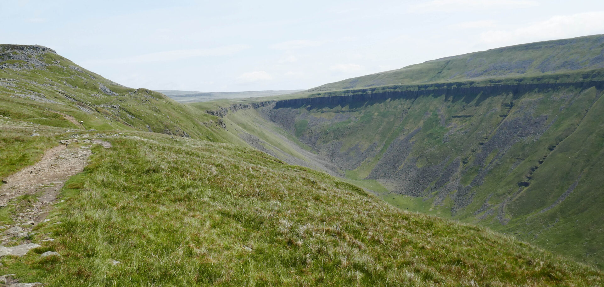
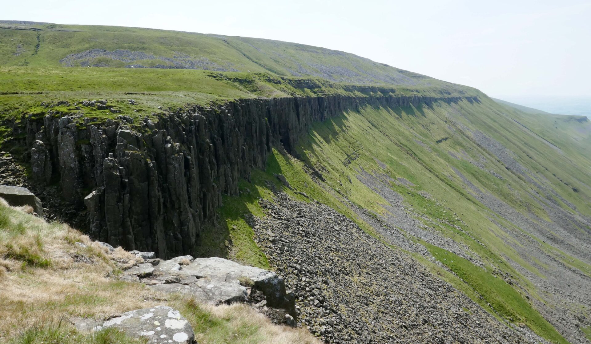
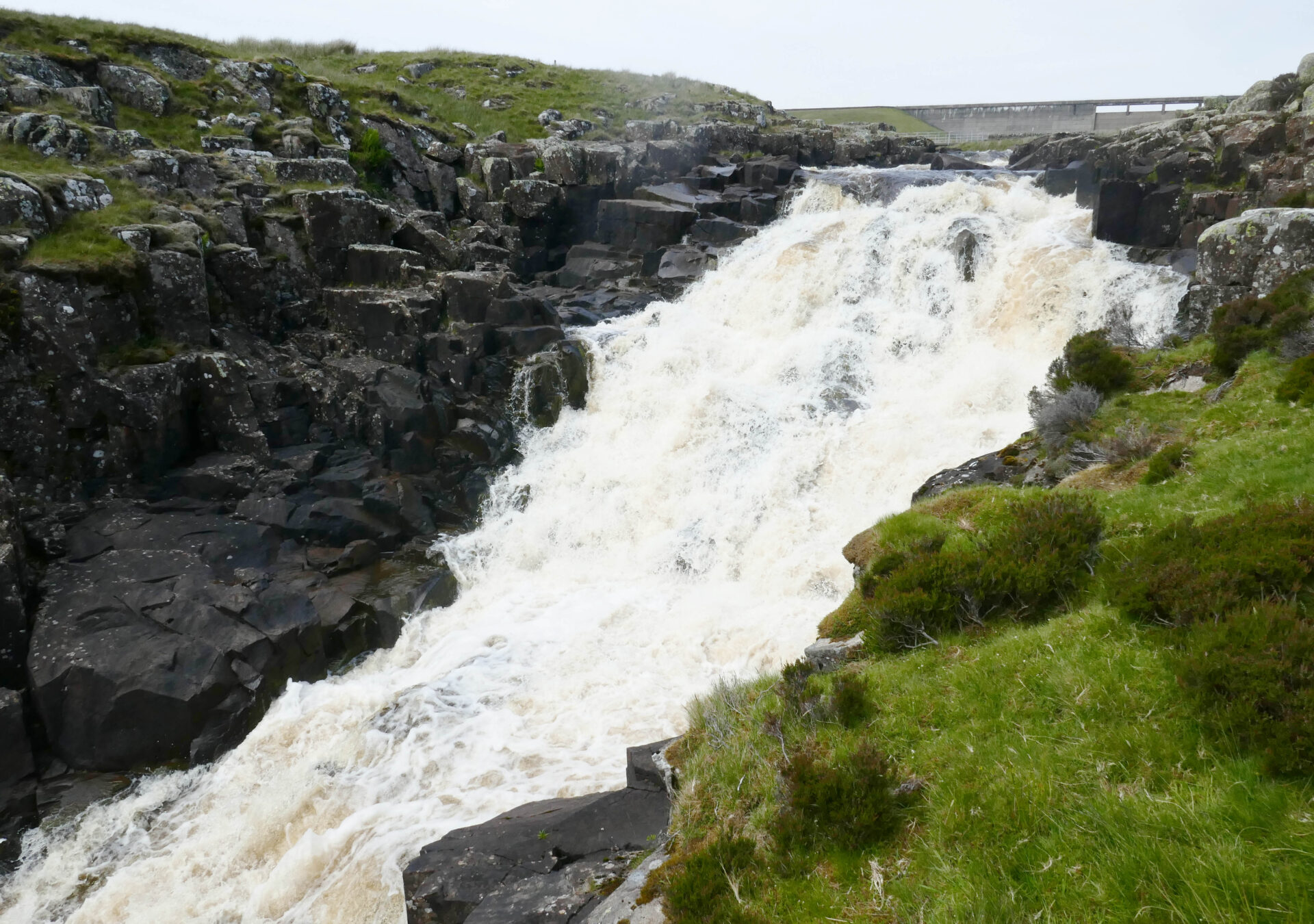
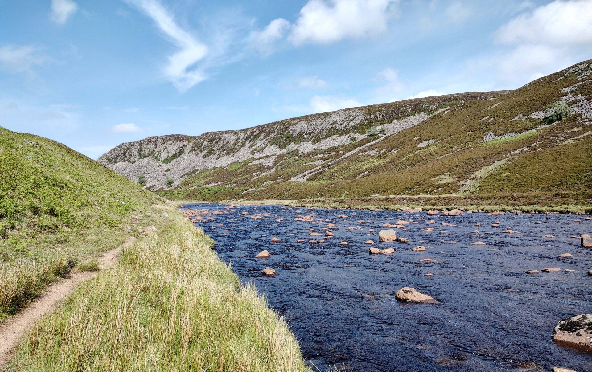
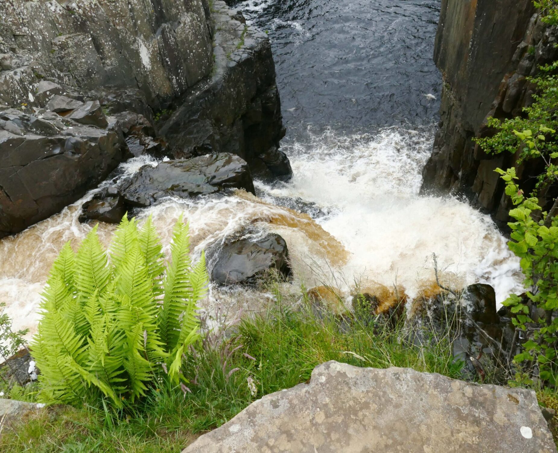
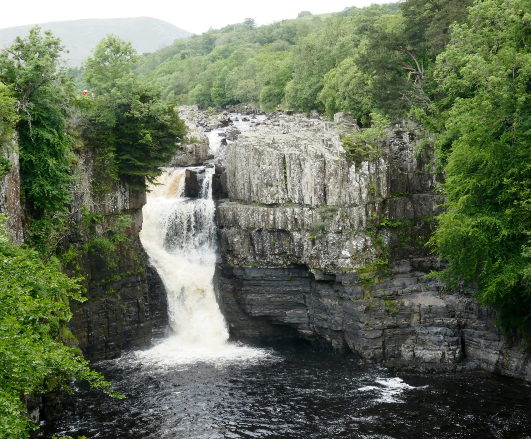
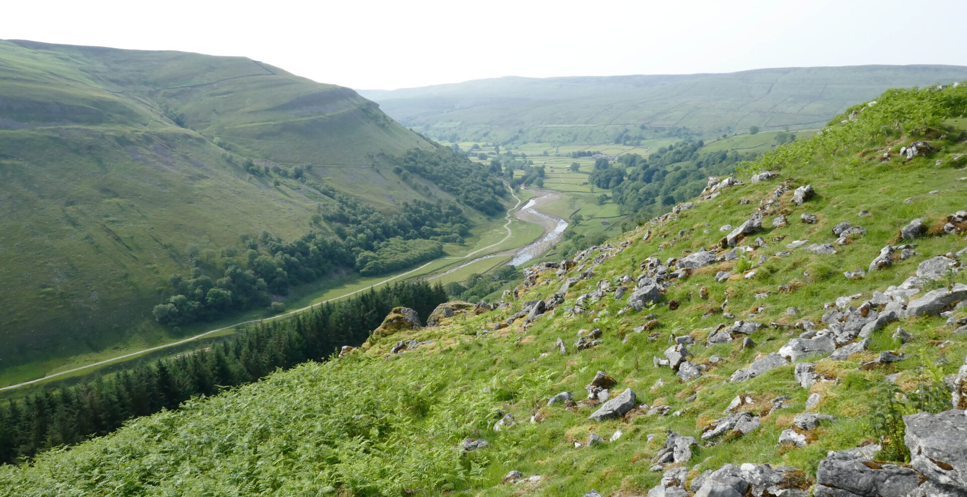
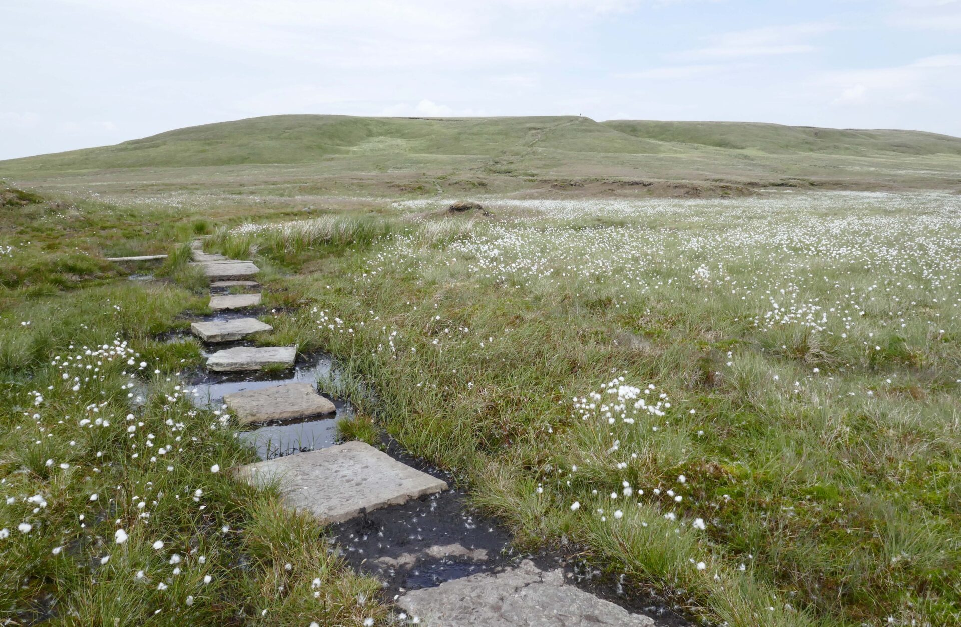
The next bit was dreadful, there was no path so we had to clamber down steep slopes covered in thick high heather and steep rocky sections. The thunderous water of Cauldron Snout was on our right the whole time, a very impressive sight, especially from the bottom.
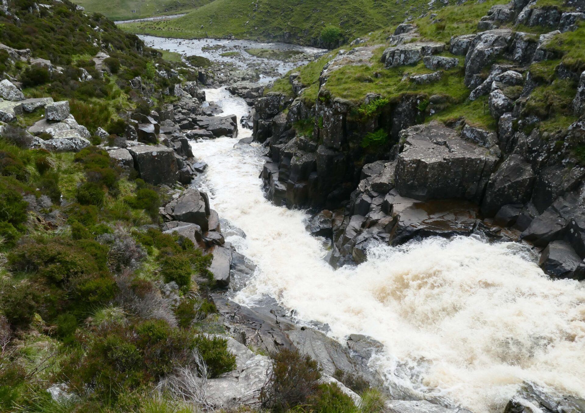
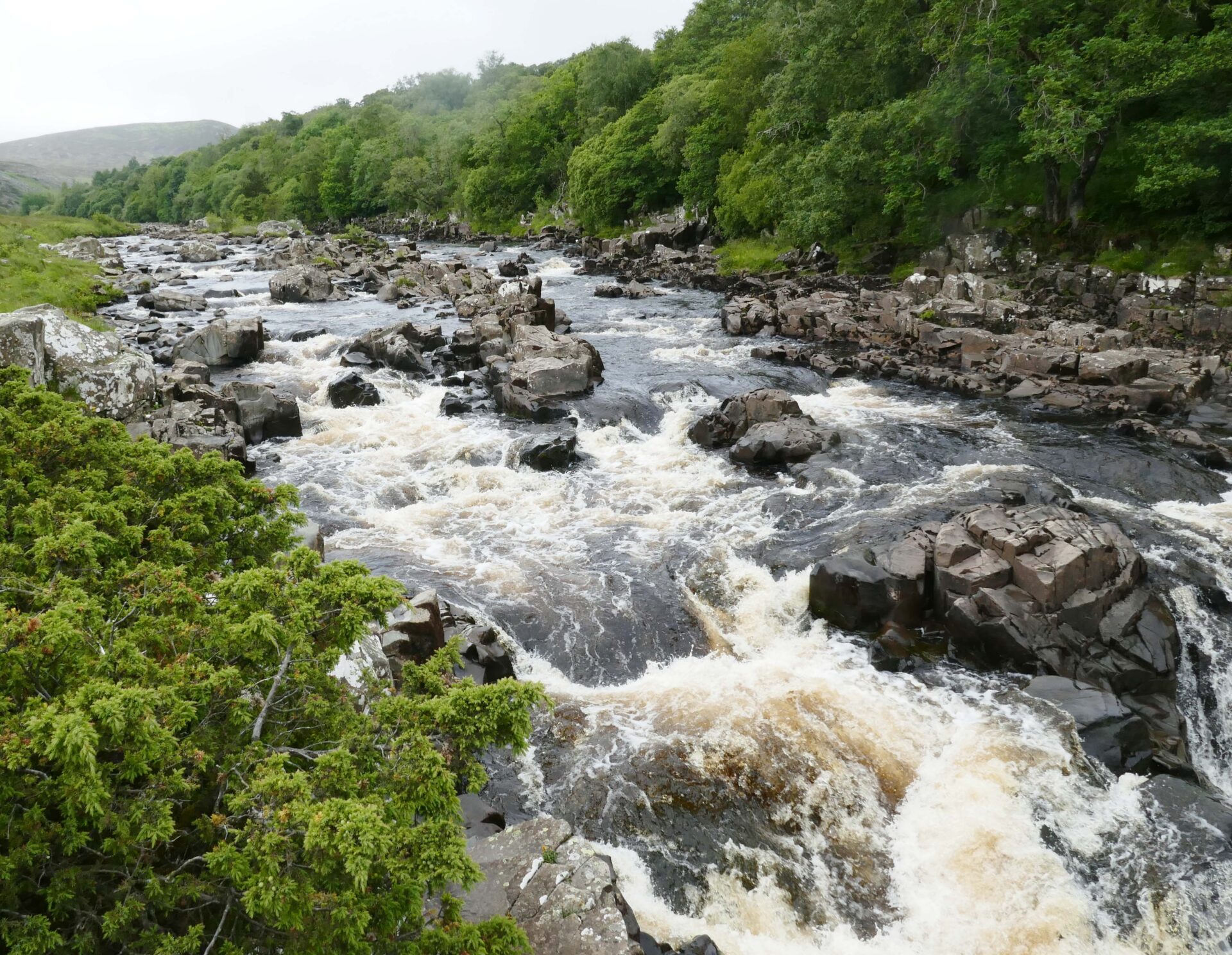
From here there’s a track over jumbled rocks alongside the River Tees.
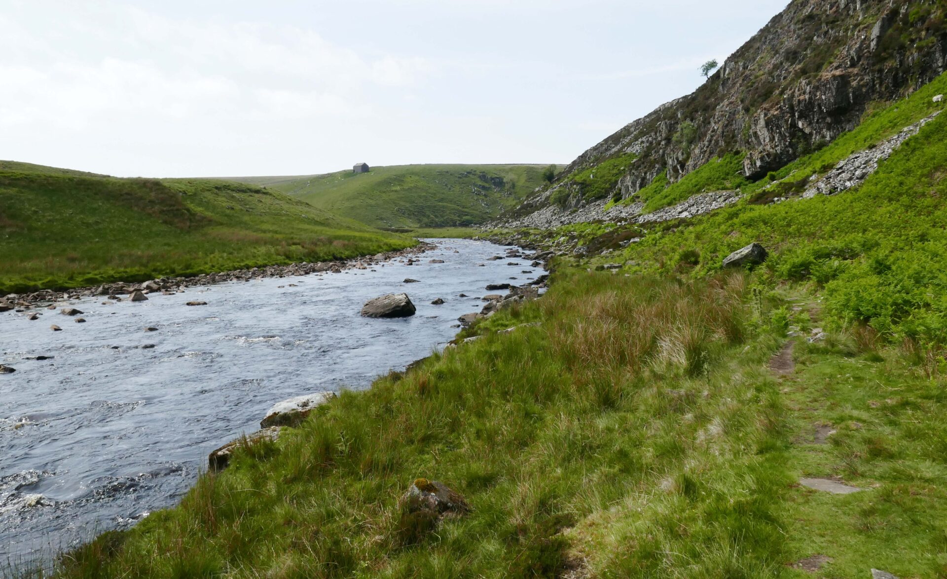
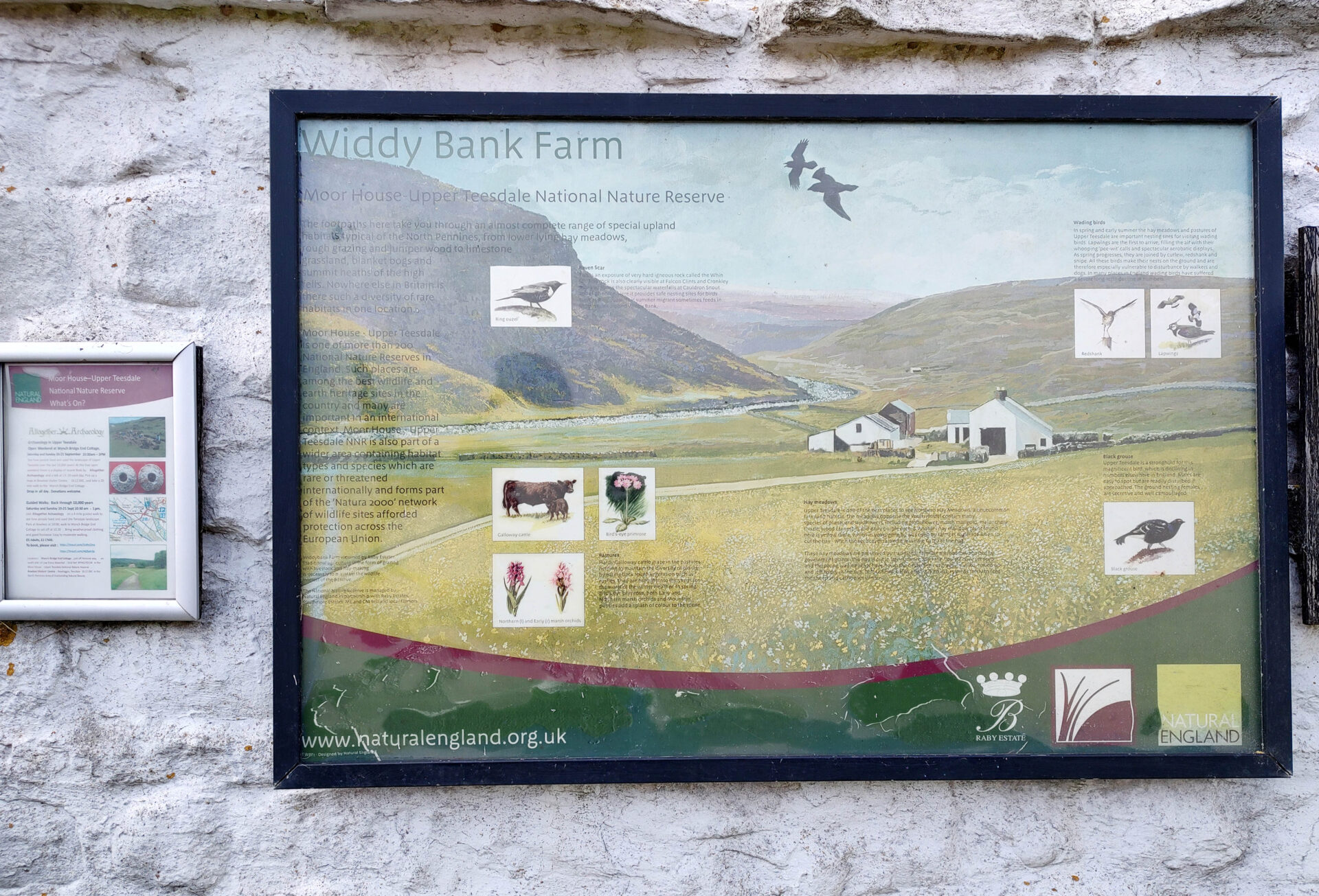
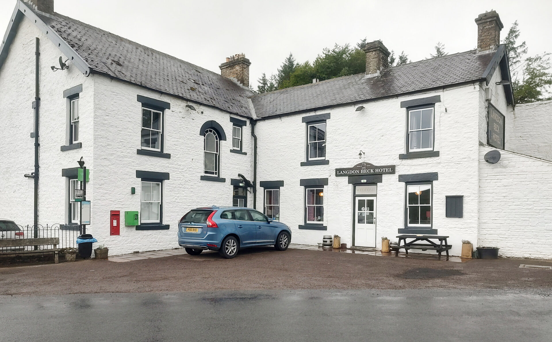
We reached Widdybank Farm at 3.50pm where we left the route and followed the farm track to the road as we were heading for the Langdon Beck Hotel for the night, which we reached at 4.30pm, a very friendly welcoming place with several real ales on hand pumps.
It was a tiring day with 3264 feet of ascent and 13.5 miles. Fortunately, the Hazelnut Latte Stout soon revived me!
Day 9 Langdon Beck to Middleton-in-Teesdale 9.2 miles 4h 55m
Weather: It was a cool wet day so we had full waterproofs on all day.
We left the hotel just after 9.15am and headed along a road back the way we came in yesterday until a farm track to Intake Farm, on the edge of the village, took us over Harwood Beck. Then we immediately joined a path along the river to Sayer Hill Farm where we rejoined the Pennine Way after our brief excursion to Langdon Beck.
After crossing over Saur Hill Bridge we continued following the Beck to the River Tees. We stopped to watch the Common Sandpipers for a few minutes before reaching the river.
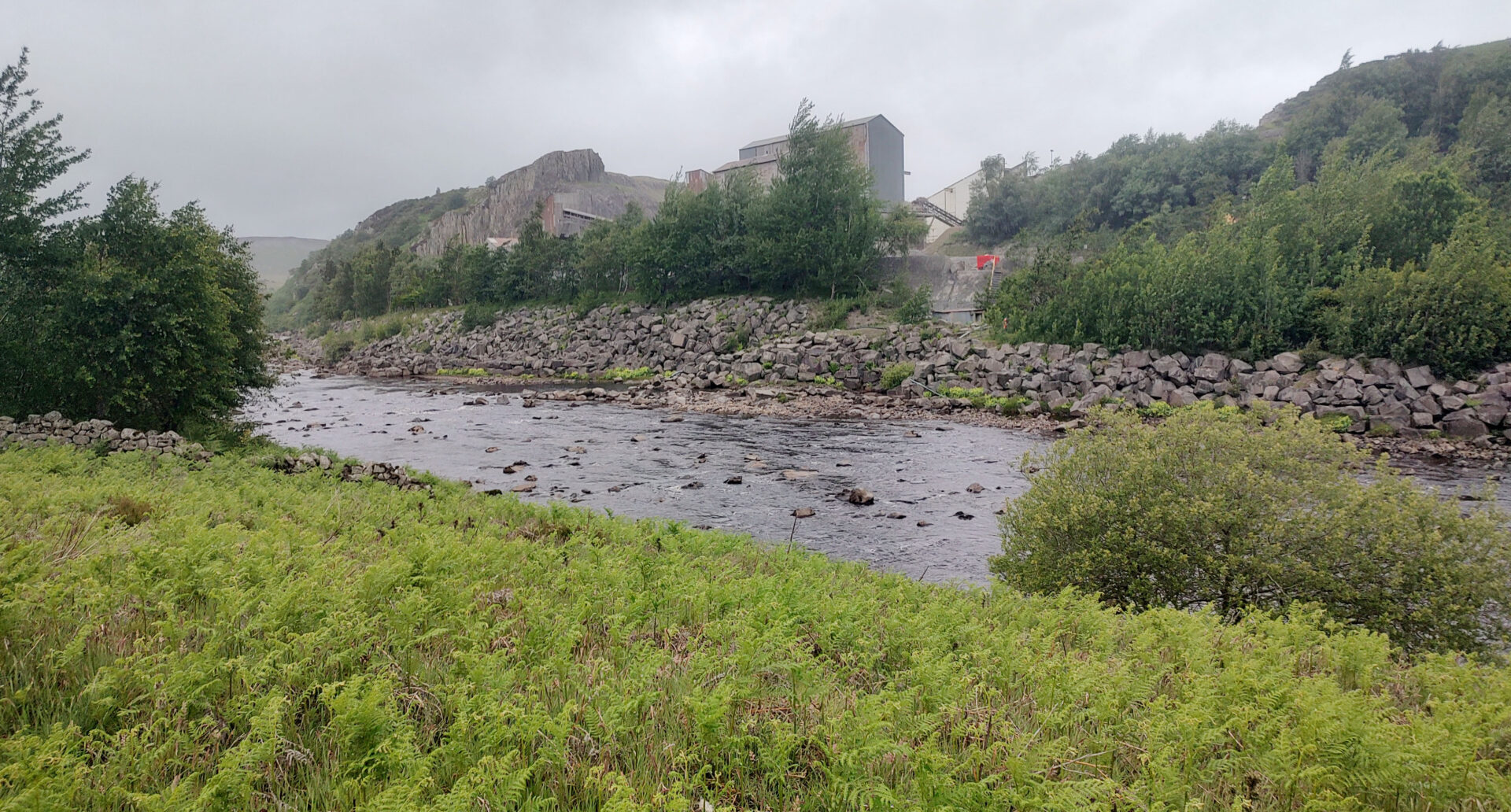
We crossed the river again by another bridge and followed the route up the hill behind Cronkley Farm and down Bracken Rigg to a riverside path. Soon after this was a large quarry on the opposite bank, a little incongruous in such beautiful surroundings.
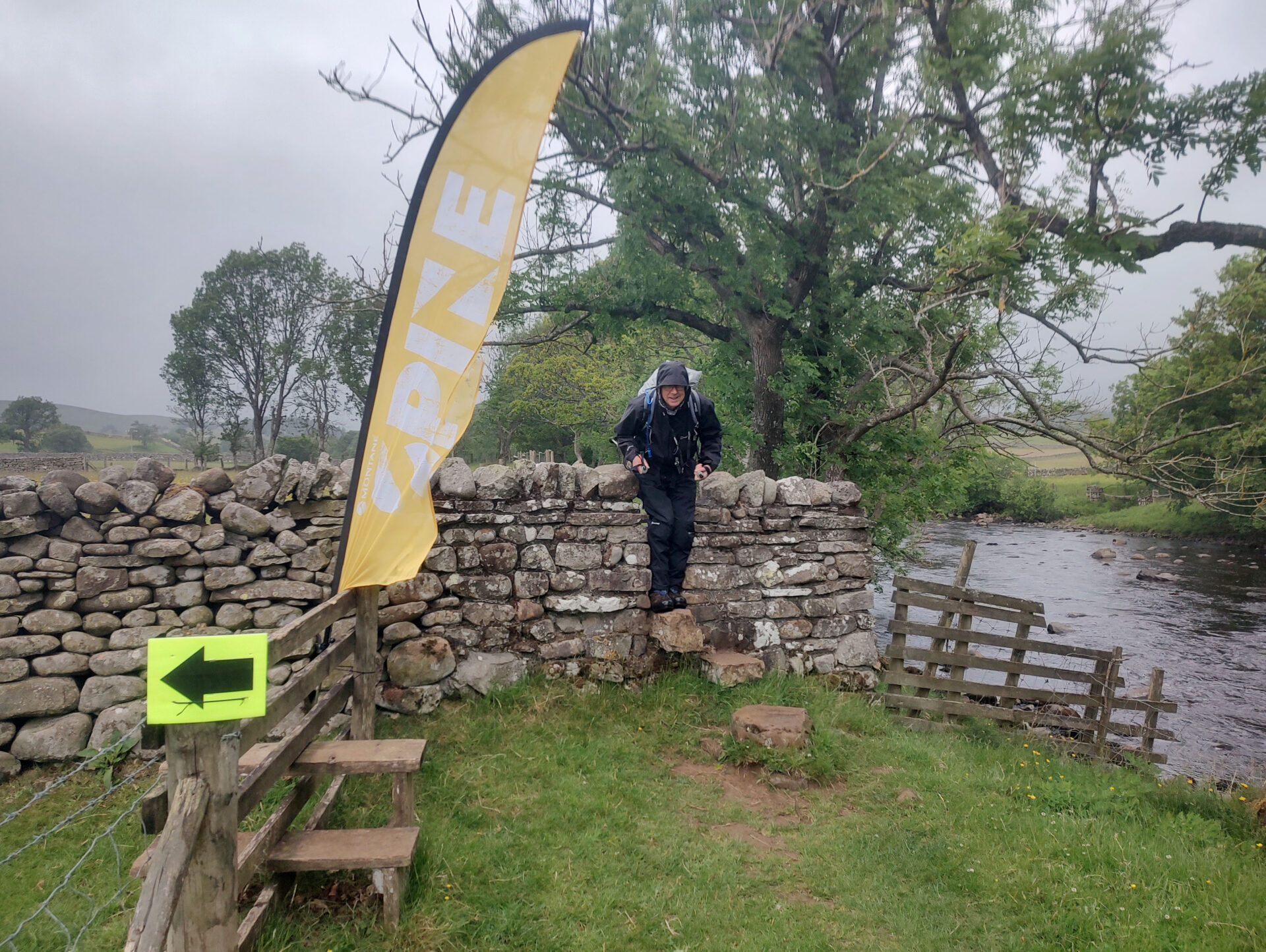
The river started to make a lot more noise telling us we were nearing High Force. It was just here that we started seeing the first runners doing the Montane Spine Race along the whole length of the Pennine Way. Apparently some of the runners continued racing through last night so they were already heading down into Dufton and beyond, these runners that we passed were the chasing pack. In total we only saw 10 runners today even though many more started in Edale 2 or 3 days ago.
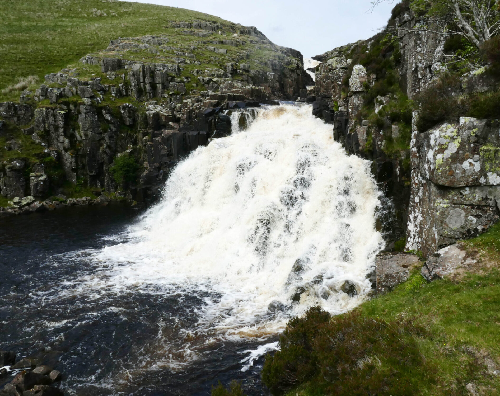
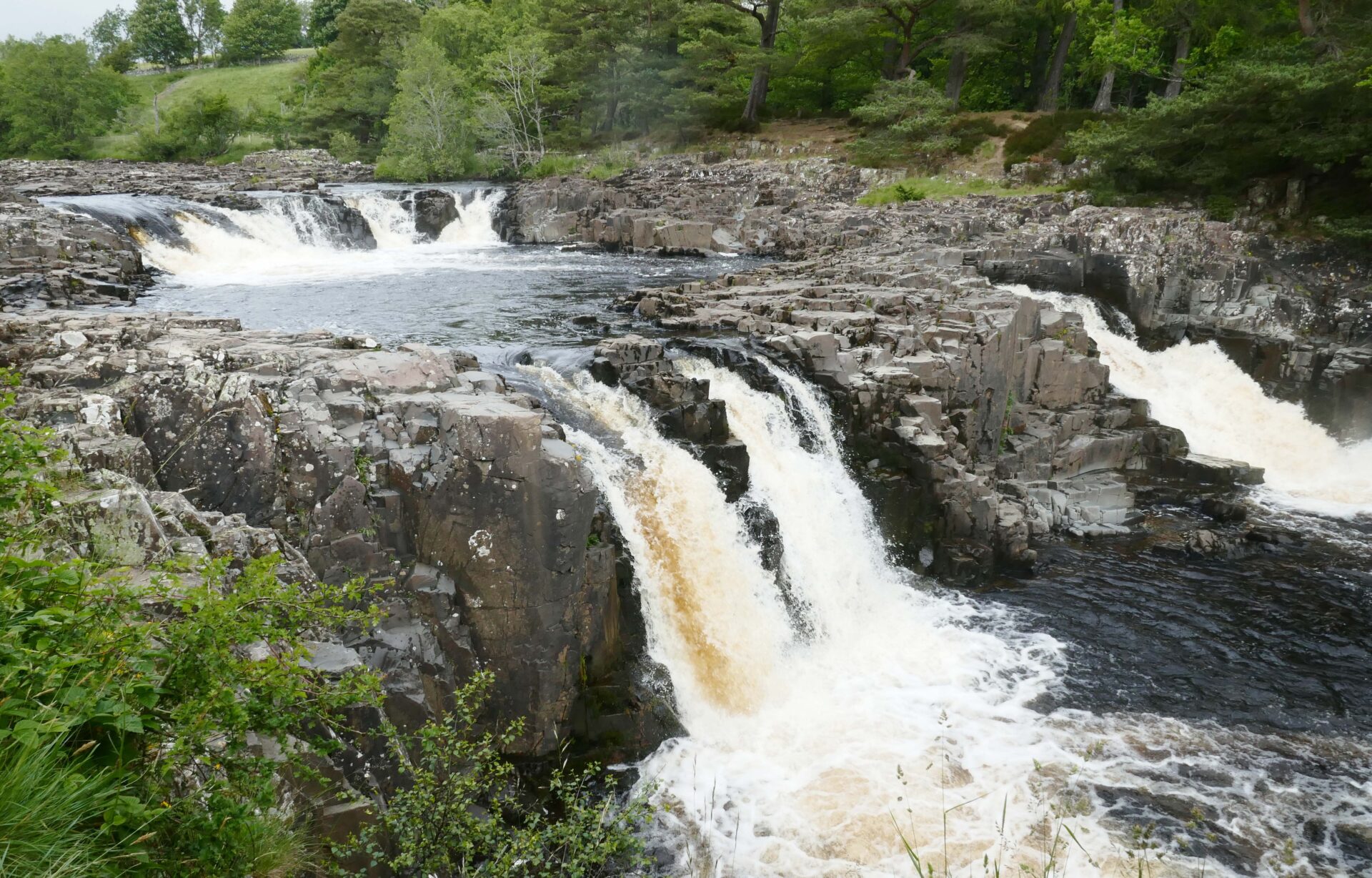
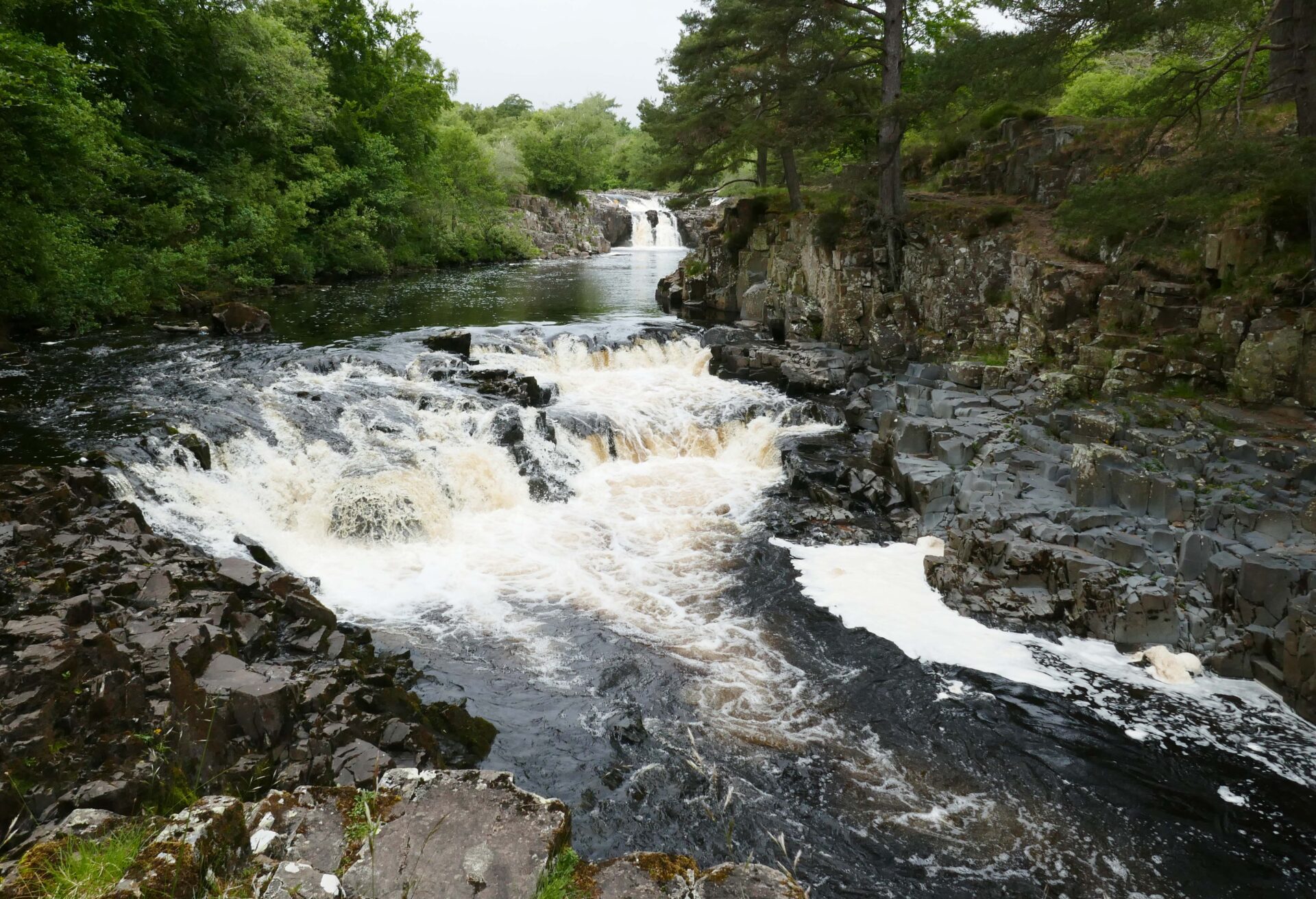
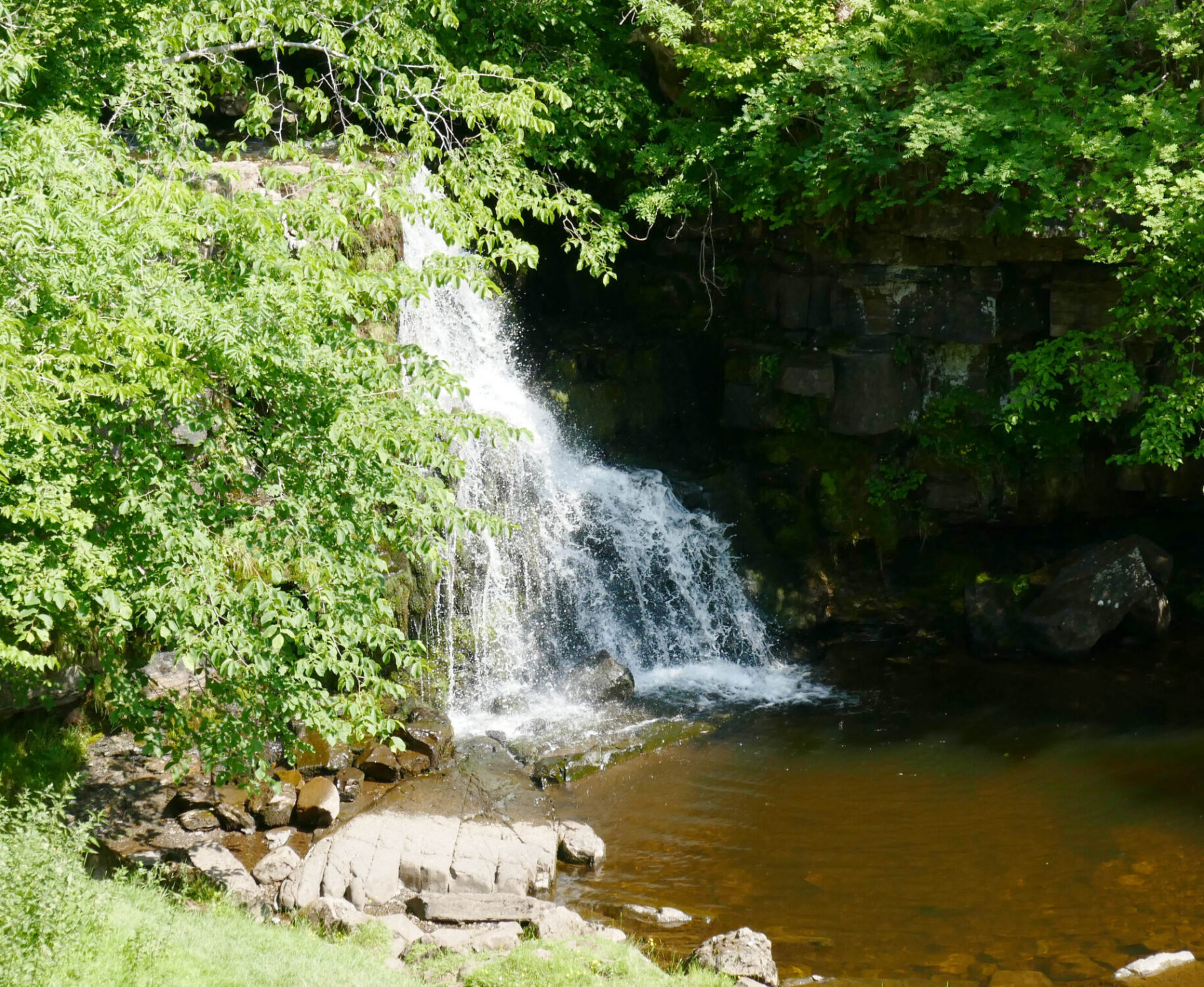
We reached the top of High Force at 11.20am, it was in full flow as you can see from the full frontal photo. I think it makes a better shot from this side of the river and it’s a free viewpoint whereas from the hotel side they charge a fee to see it.
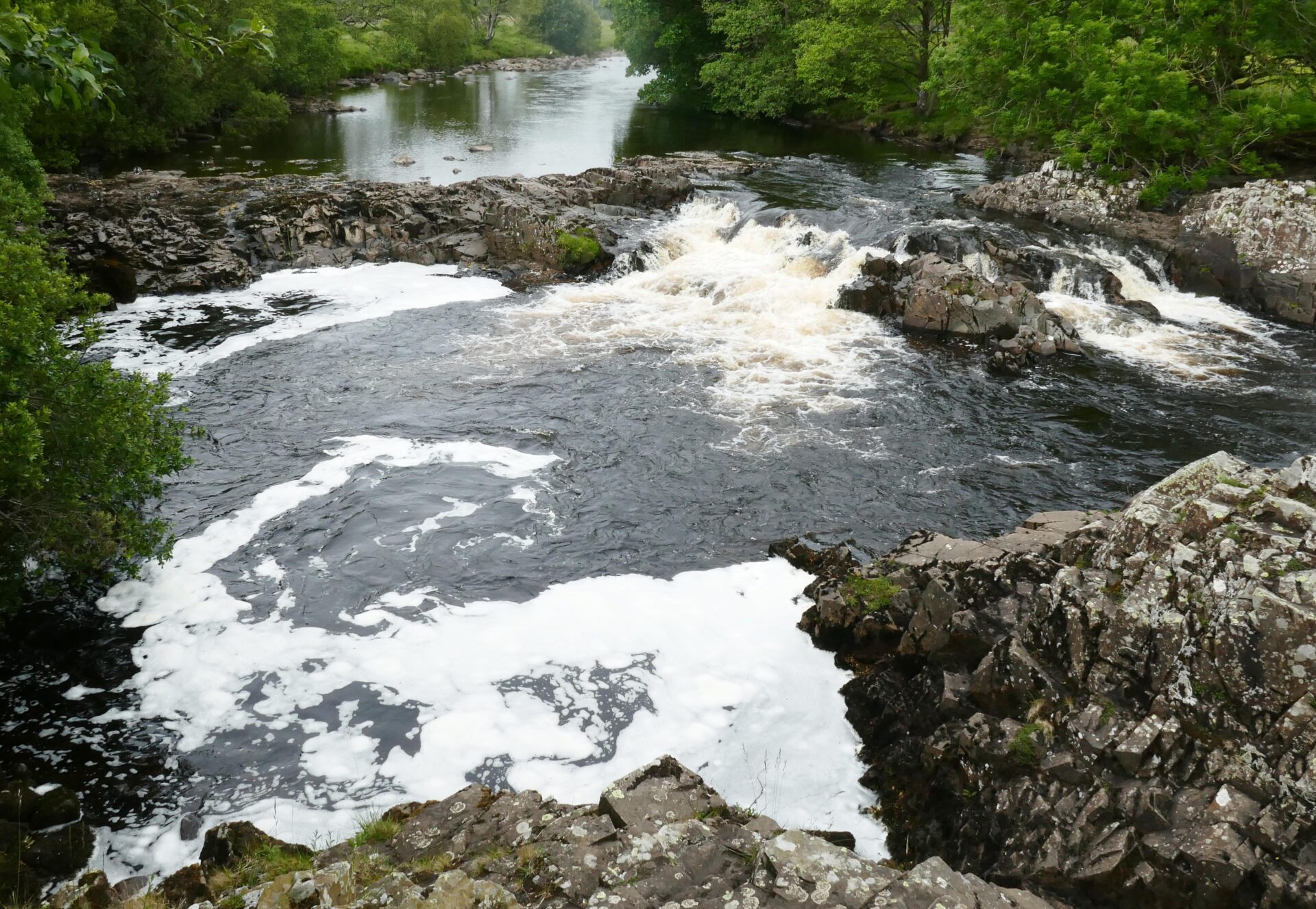
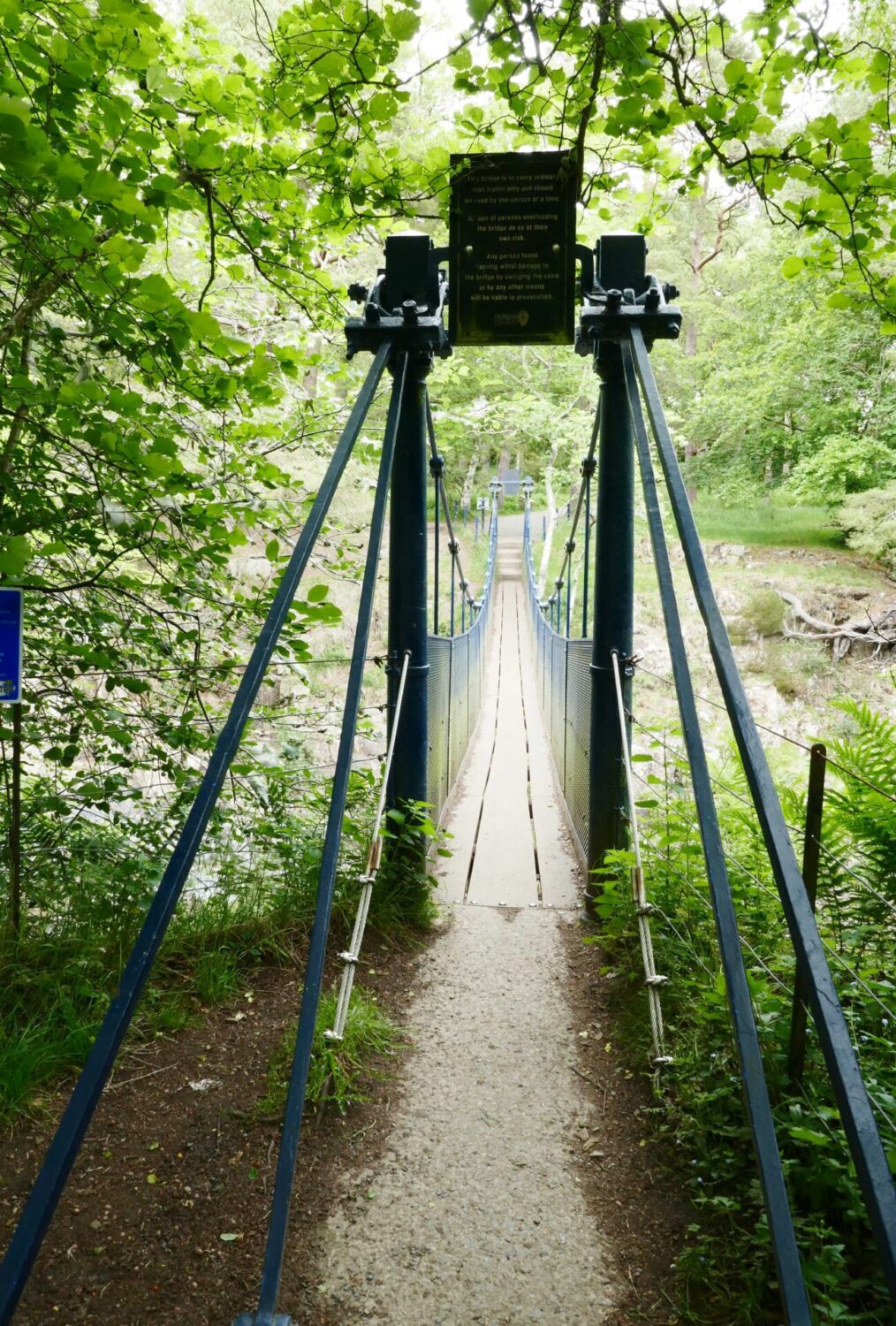
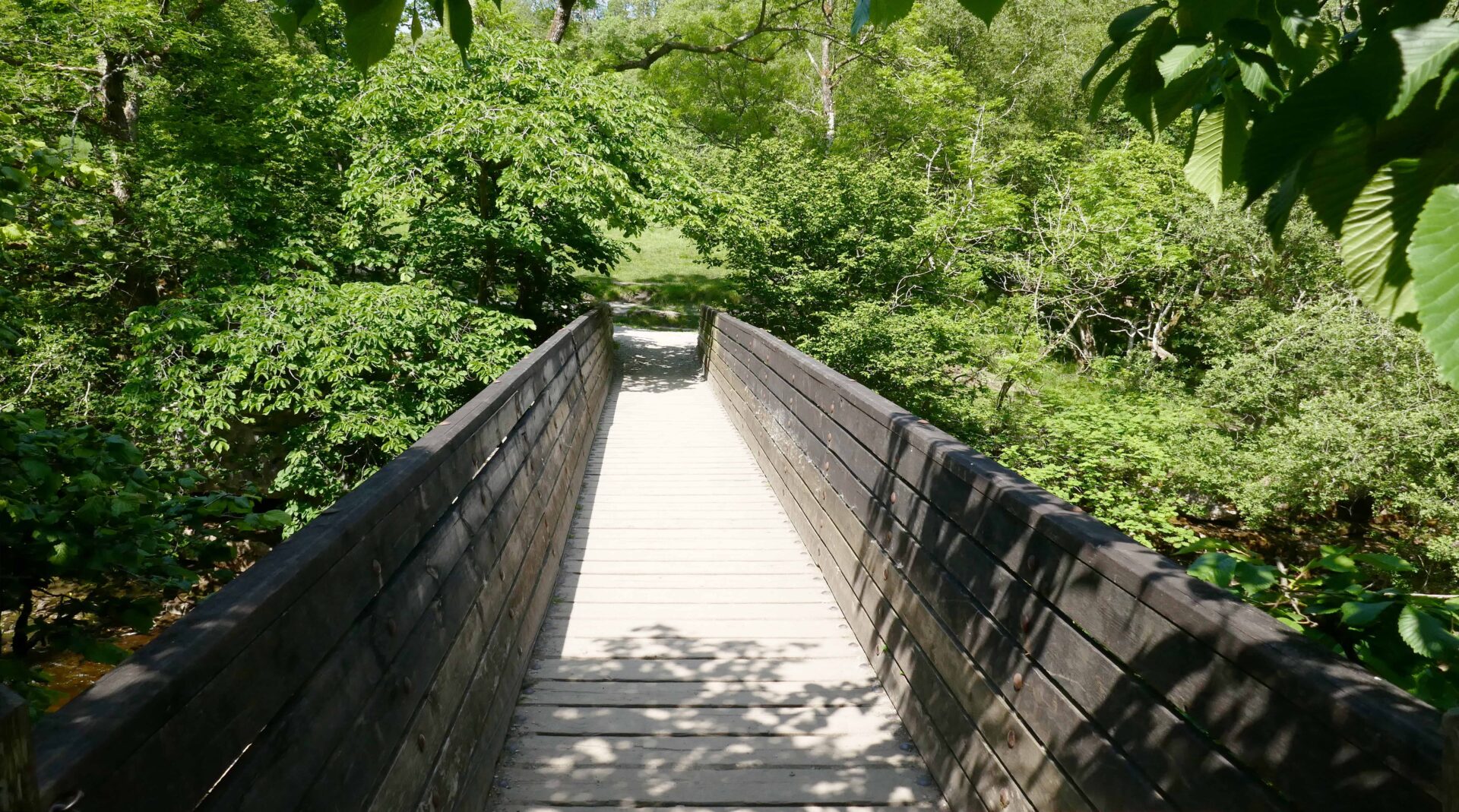
The path just follows the river, past some smaller falls called Low Force and the Wynch Bridge (a suspension footbridge giving access from the Bowlees car park), all the way to Middleton-in-Teesdale.
We had a short lunch break sitting on one of the stone stiles in the rain at 12.20pm, just after Wynch Bridge. We also chatted to one of the Spine Race marshalls for several minutes just on the edge of Middleton.
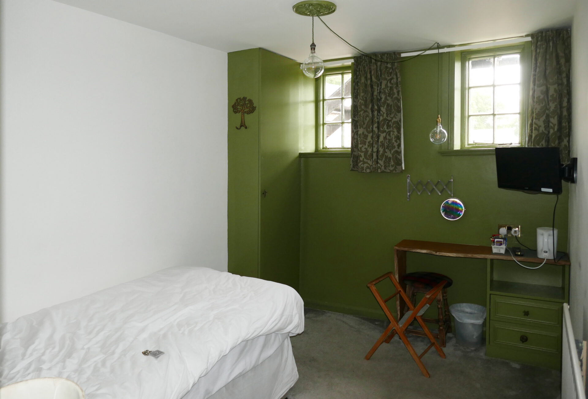
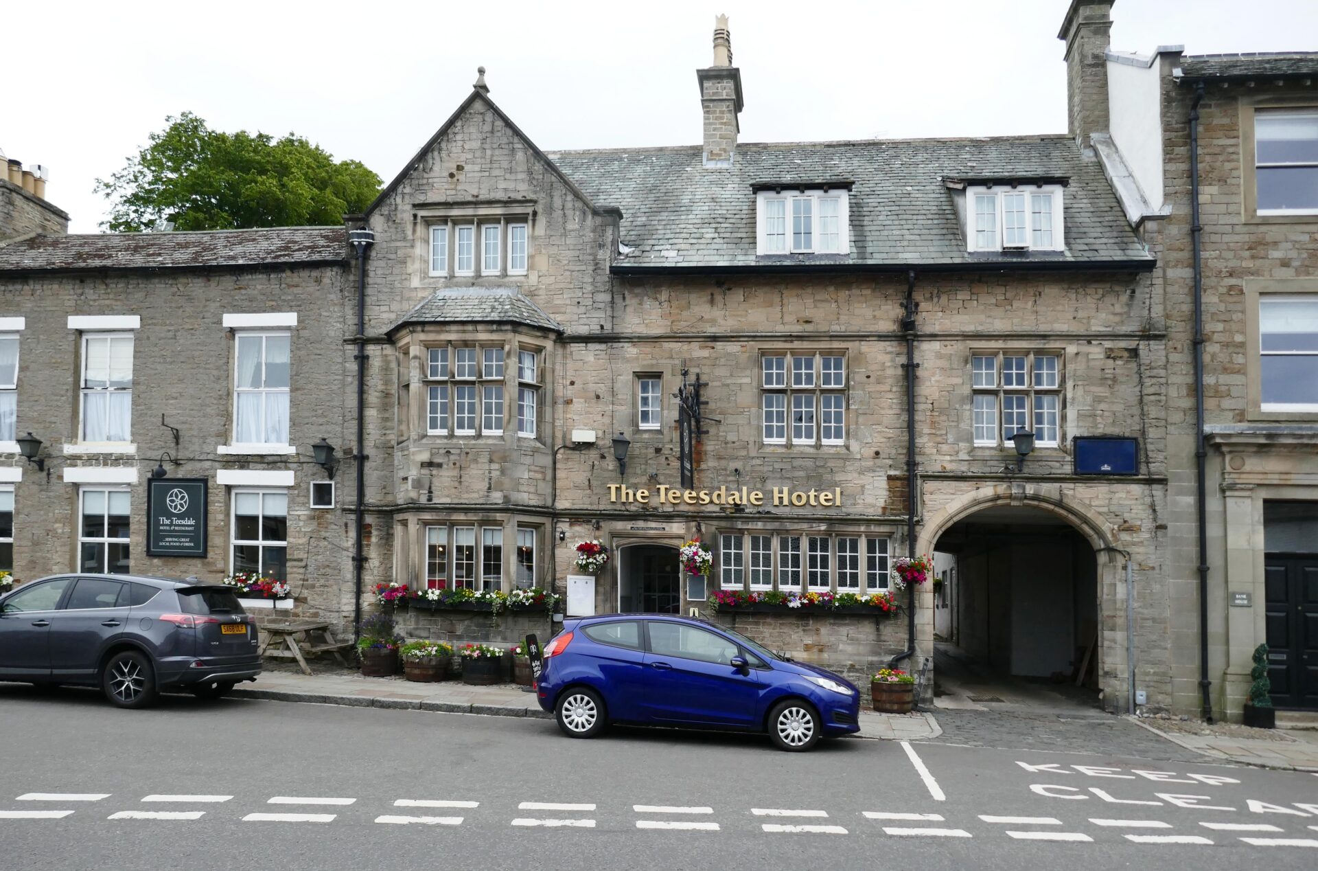
Finally, we arrived at the Teesdale Hotel at 2.10pm and were staying in single rooms for a quieter night for both of us! First though, we quenched our thirst with a pint or two of Black Sheep Bitter. We ate in the hotel in the evening too and everything for the whole stay was excellent. This was probably the best hotel on this leg with the Langdon Beck and Keld Lodge a close joint second.
Overall, it was a short day, or half-day to be correct, of just 9.2 miles with only 456 feet of ascent. There was lots to see along the river so we enjoyed ambling along rather than, on longer days, picking up the pace because we have many miles to cover.
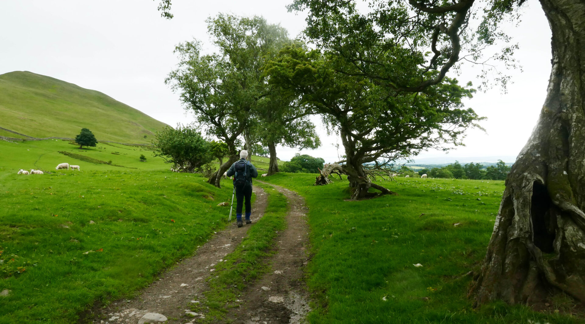
Day 10 Middleton-in-Teesdale to Bowes 13.1 miles 6h 27m
Weather: It was dry but dull to start with and a bit cool so I had 3 layers on, then we had blue sky from a bit after 10am.
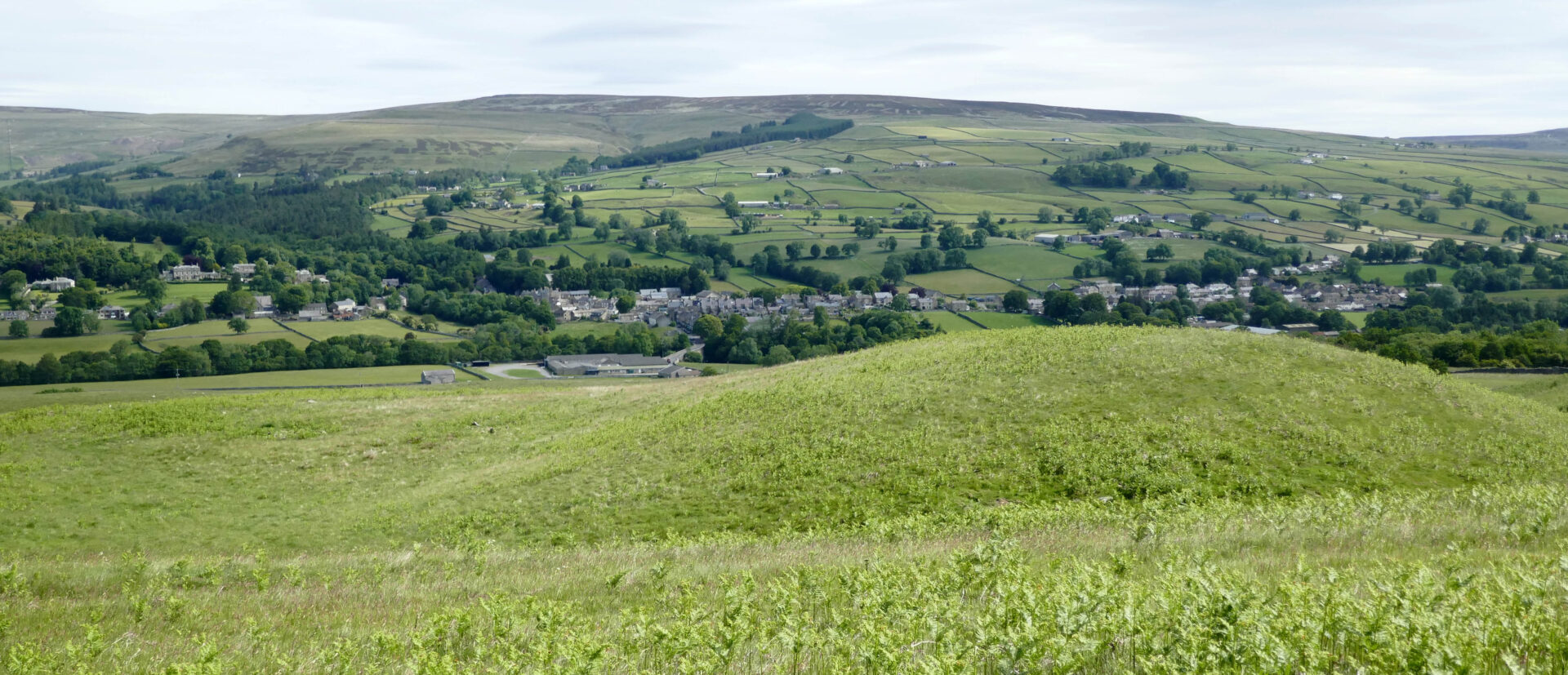
After a full cooked breakfast at 8am we started walking at 9.38am and retraced our route back over the bridge but continued straight up the road ahead to a T-junction. Here we followed a footpath straight up the hill ahead. As we climbed higher the view back to Middleton was getting better as you could see more of the buildings. It was dull but the clouds were thinning quickly.
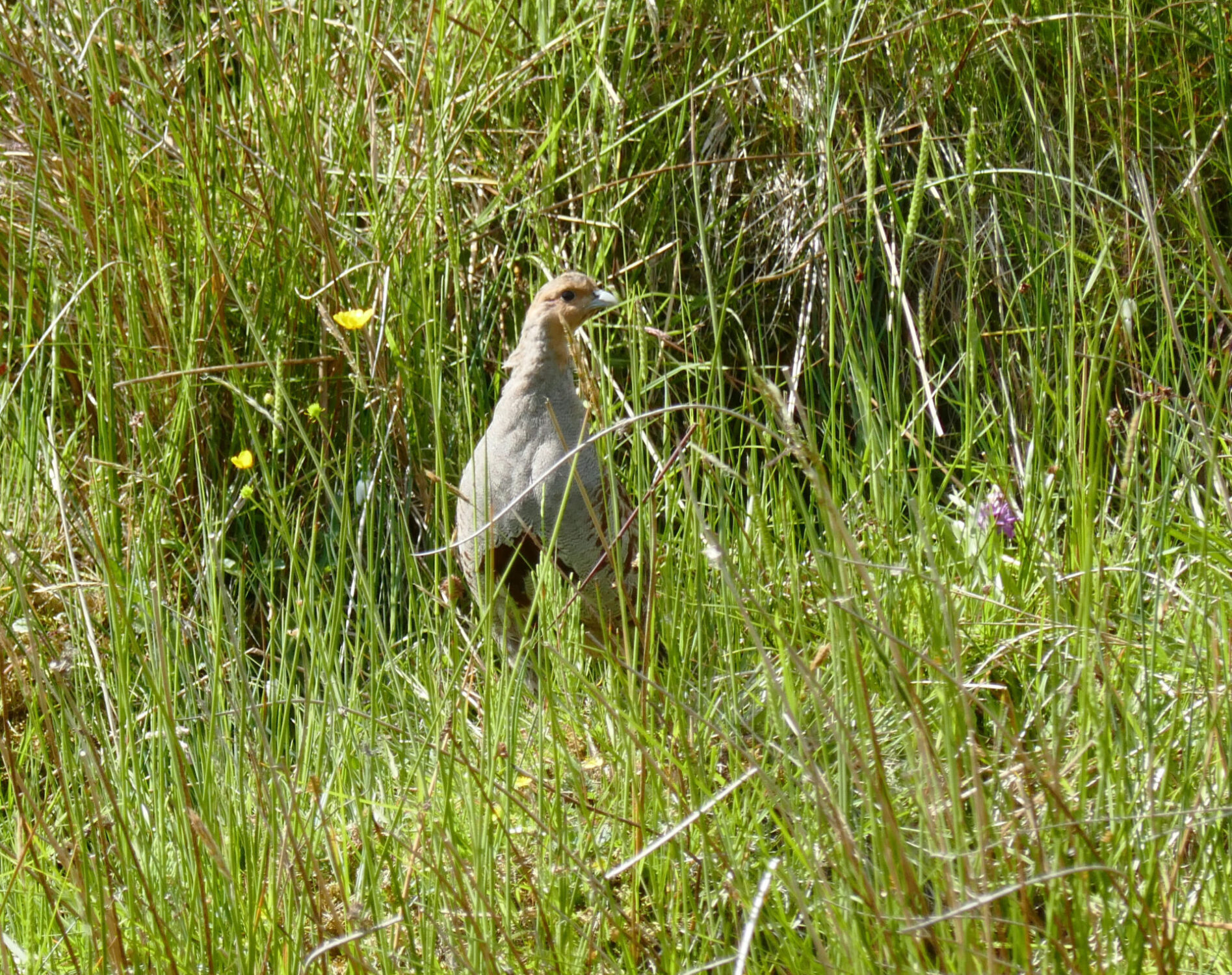
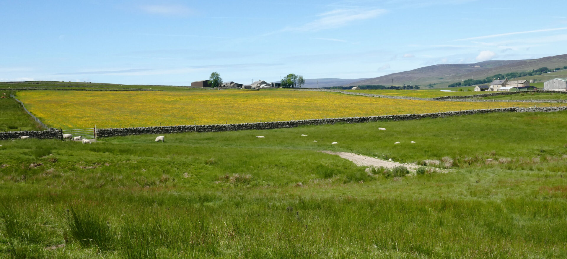
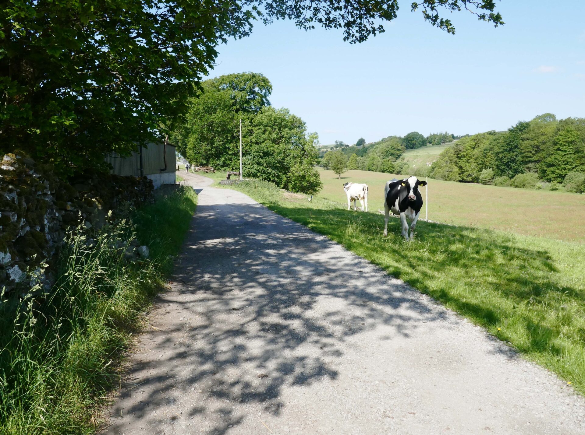
The route crossed several green fields on a good track leading to Wythes Hill Farm at 11am. There was a family of 3 partridges on and beside the track as we walked down to the road.
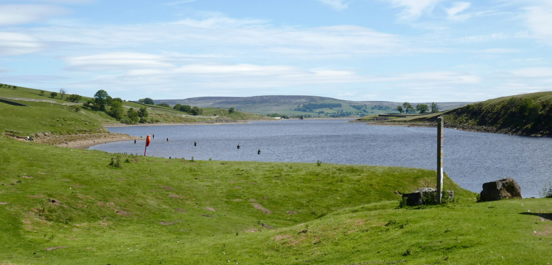
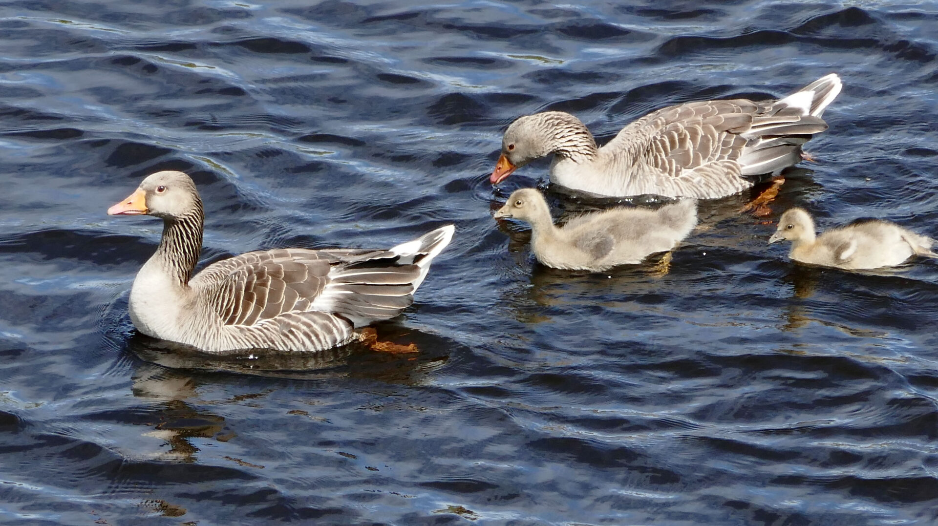
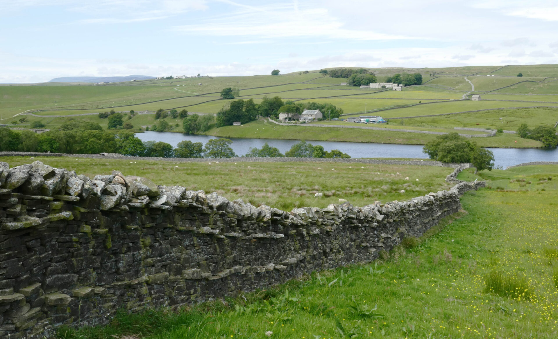
On crossing the road we were soon at Grassholme Reservoir where there were lots of people waist deep in the water fly fishing.
This is marked as a nature reserve and we watched several Grey Lag Geese for a few minutes. Shortly after this I met one of the Spine race runners. He was from Sheffield, so not that far from where I live. He was near the back of the field but determined to finish even if he missed the timed cut-off for the next checkpoint. I hope he made it!
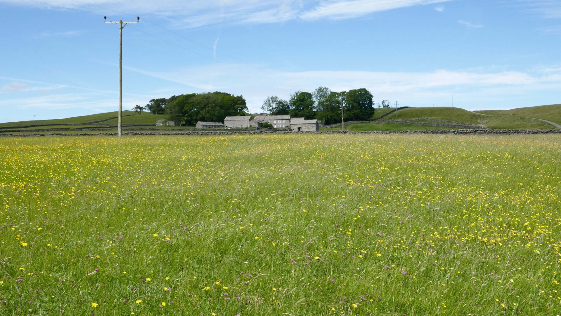
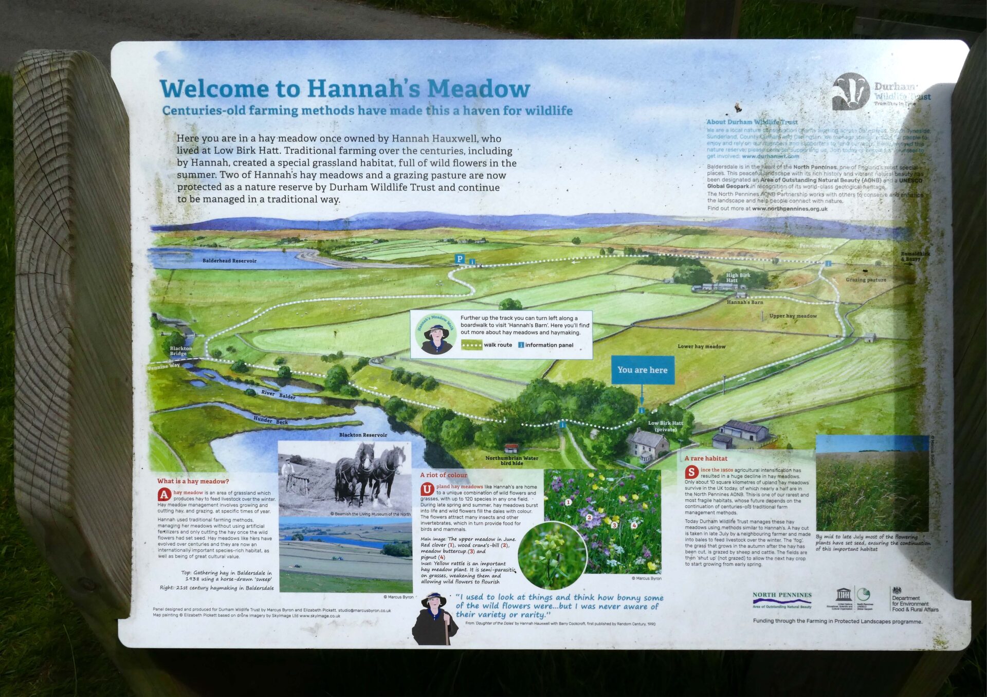
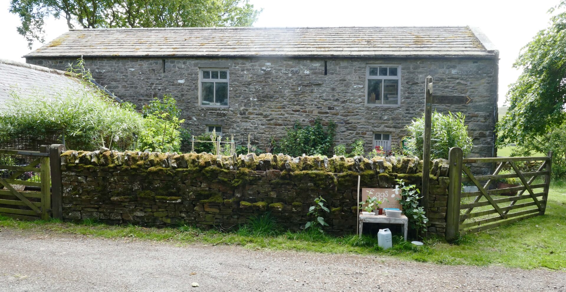
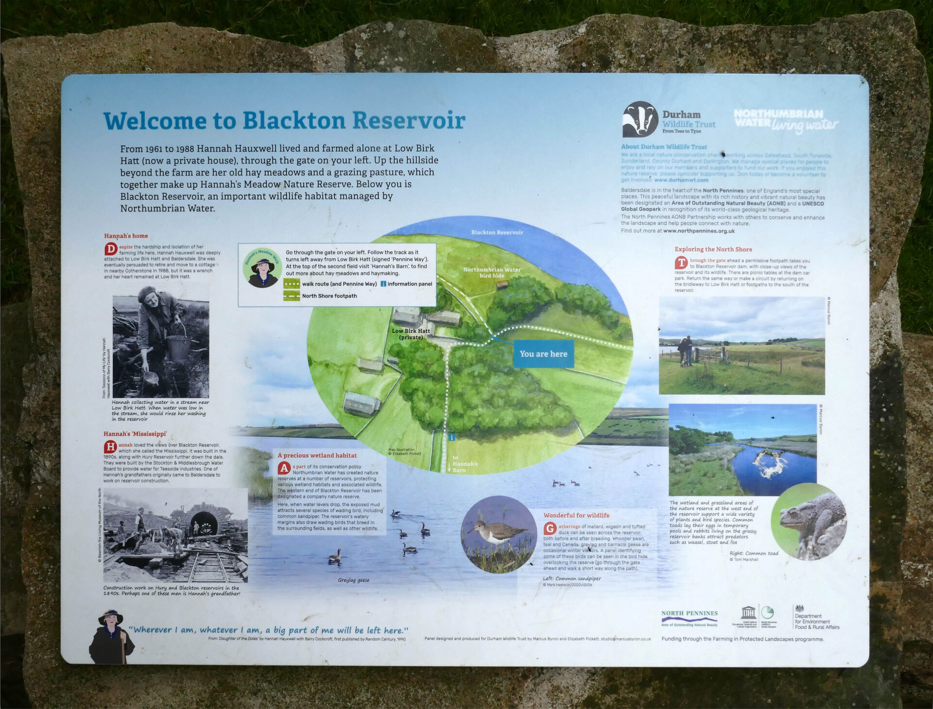
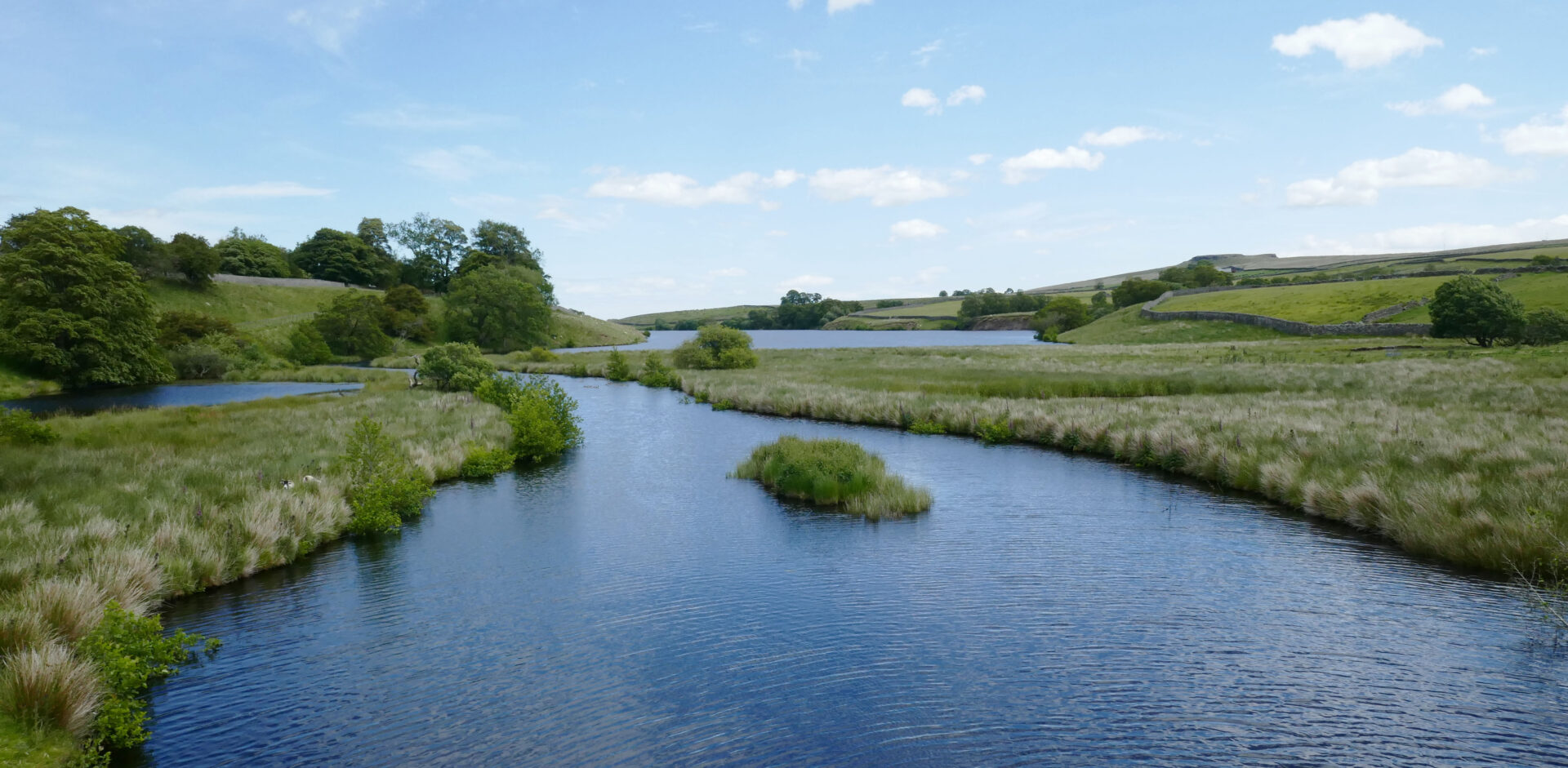
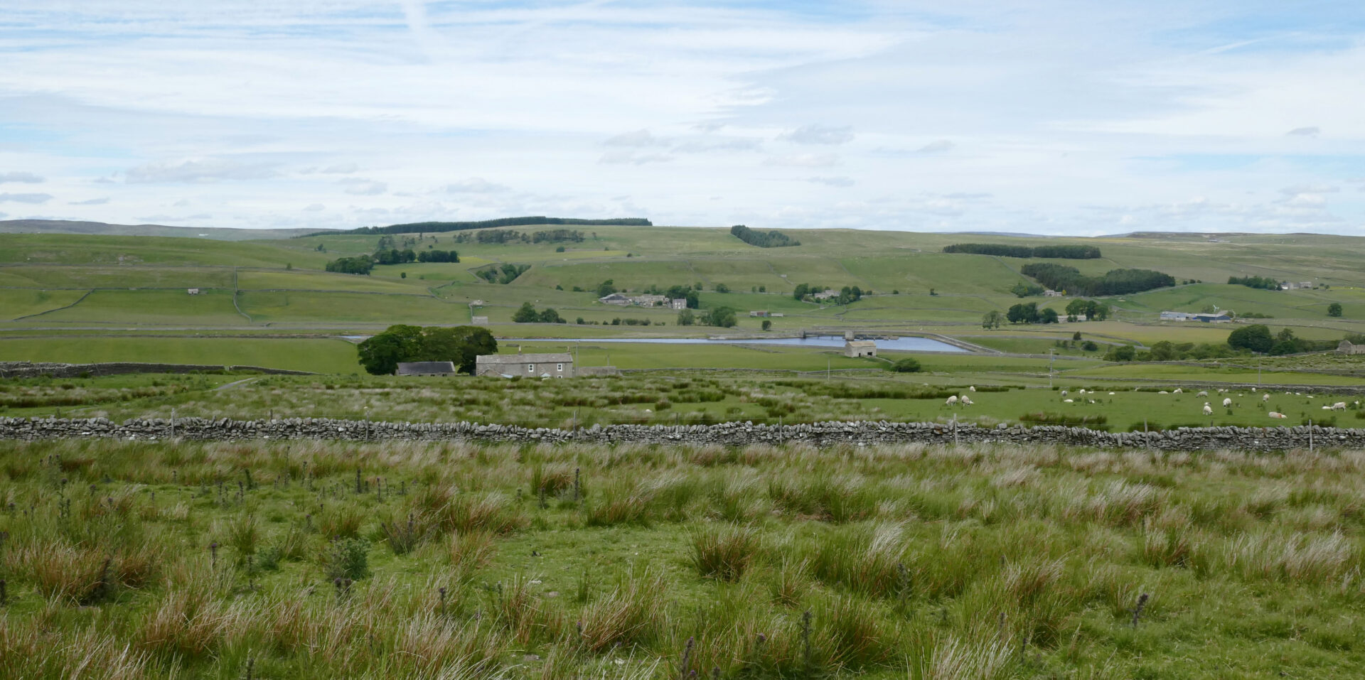
Within another hour we were at Blackton and Balderhead Reservoirs.
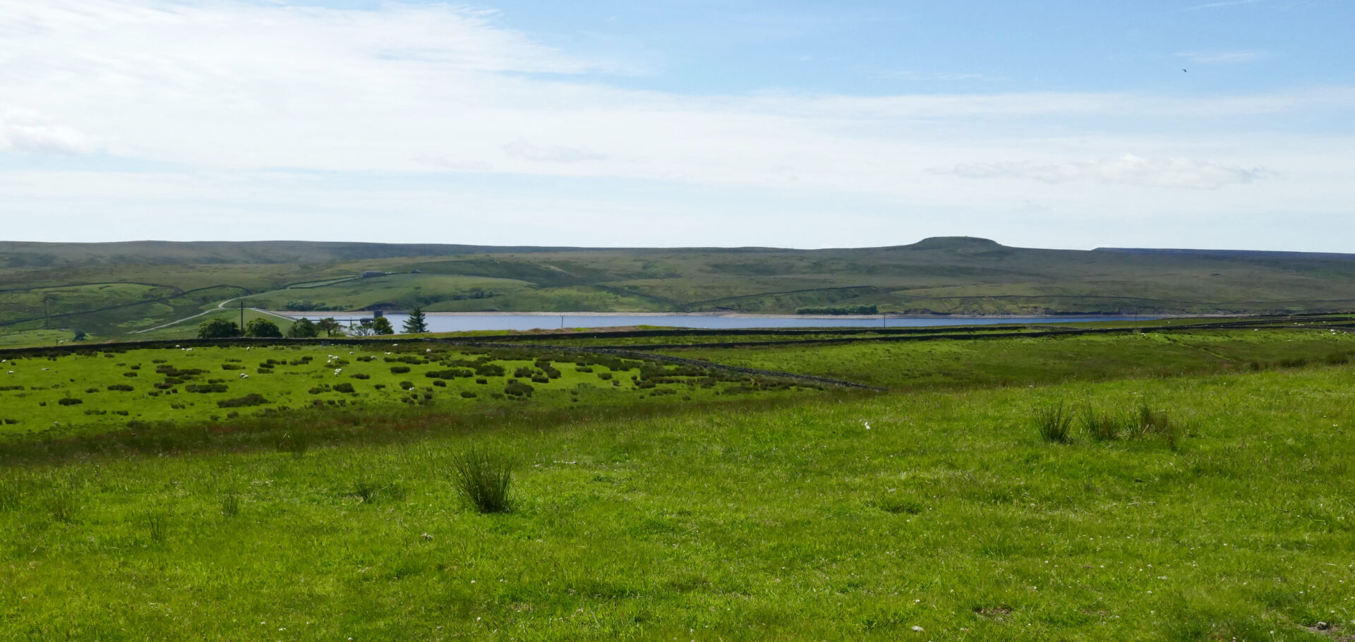
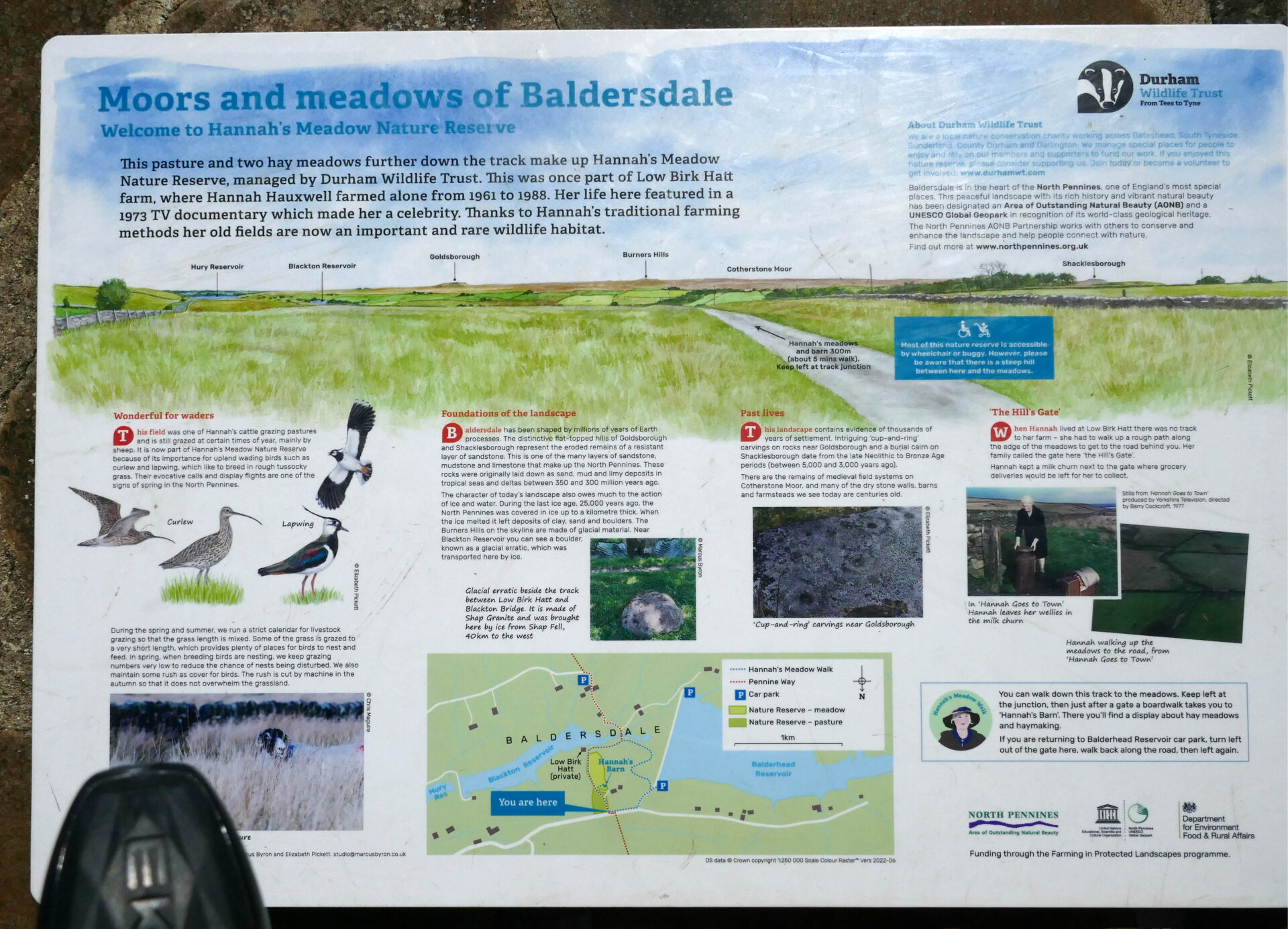
It was also the home of Hannah Hauxwell. She became a bit of a TV celebrity for the basic farming life she had led for many years in her cottage without any modern facilities.
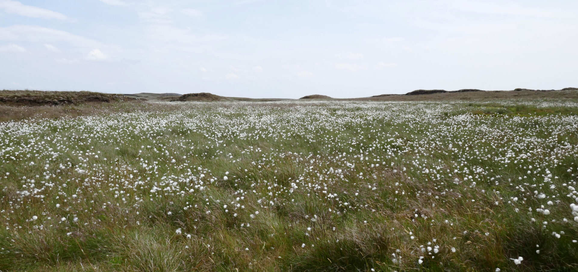
I photographed the information board which describes her life and photographed her main meadow which was a mass of wild flowers as she didn’t use any modern fertilisers or chemicals on the land.

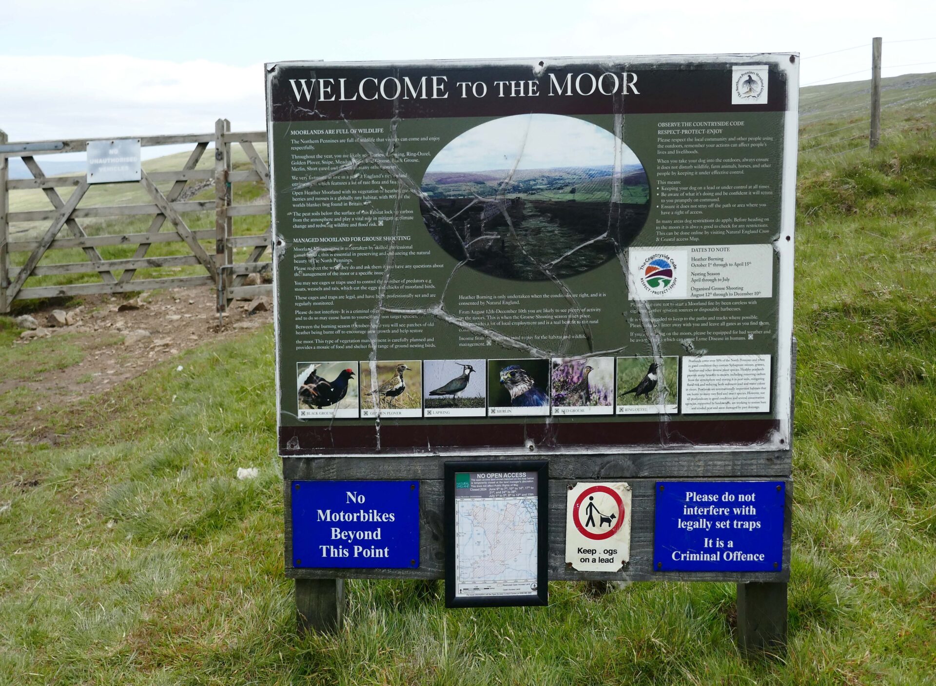
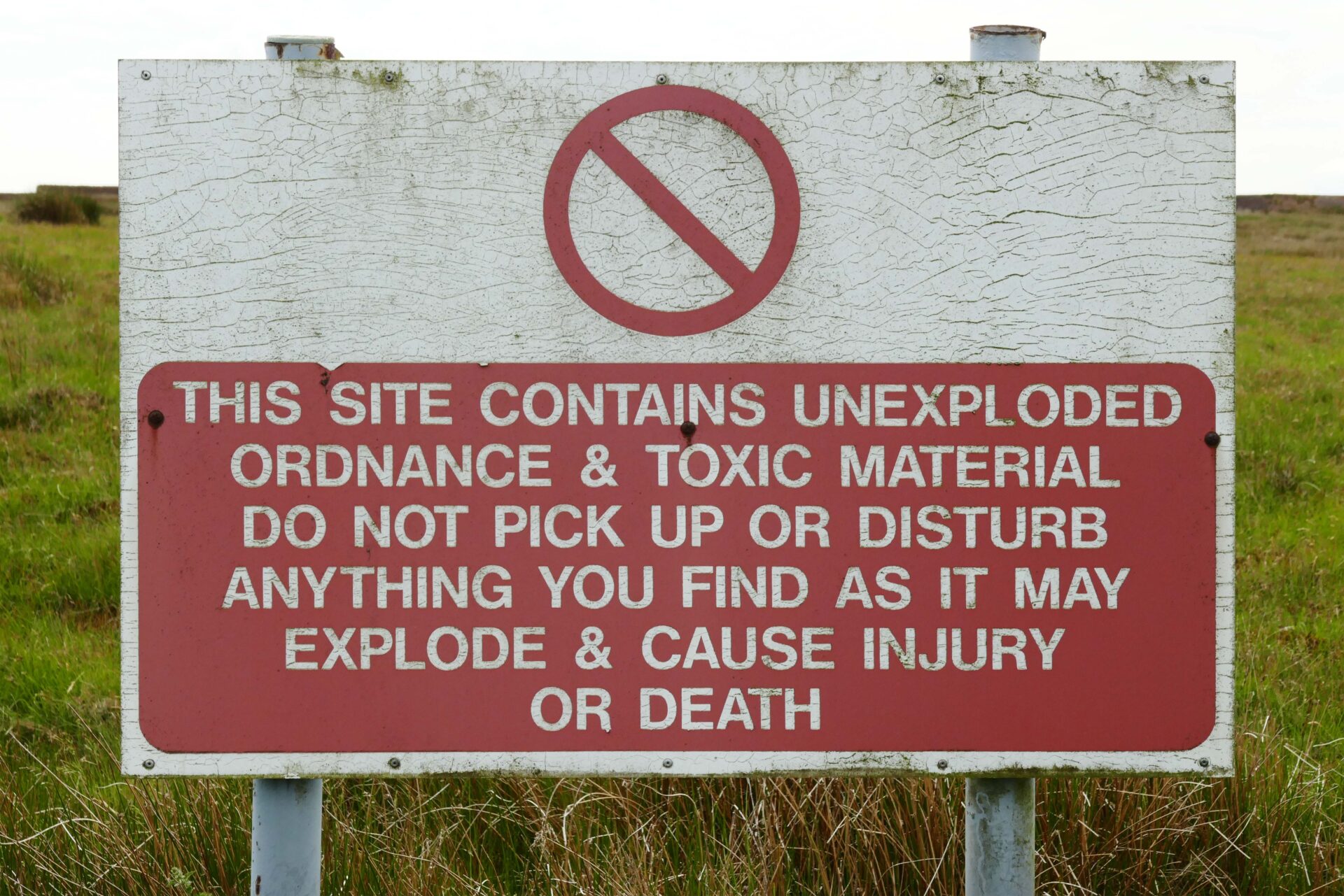
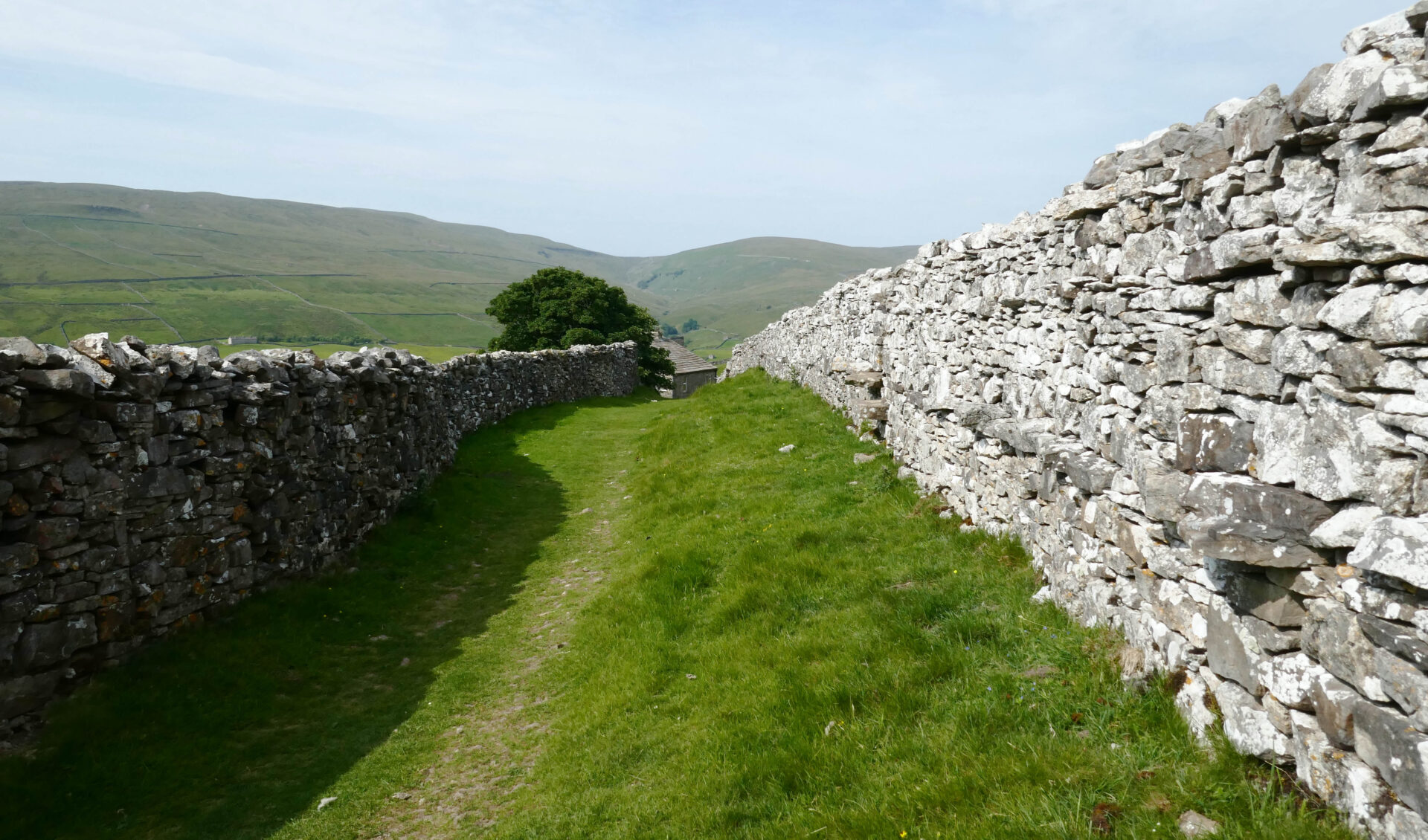
More moorland and minor roads took us past an old military area with several warning signs about unexploded munitions and dangerous chemical waste. Not what you expect on wild moorland.
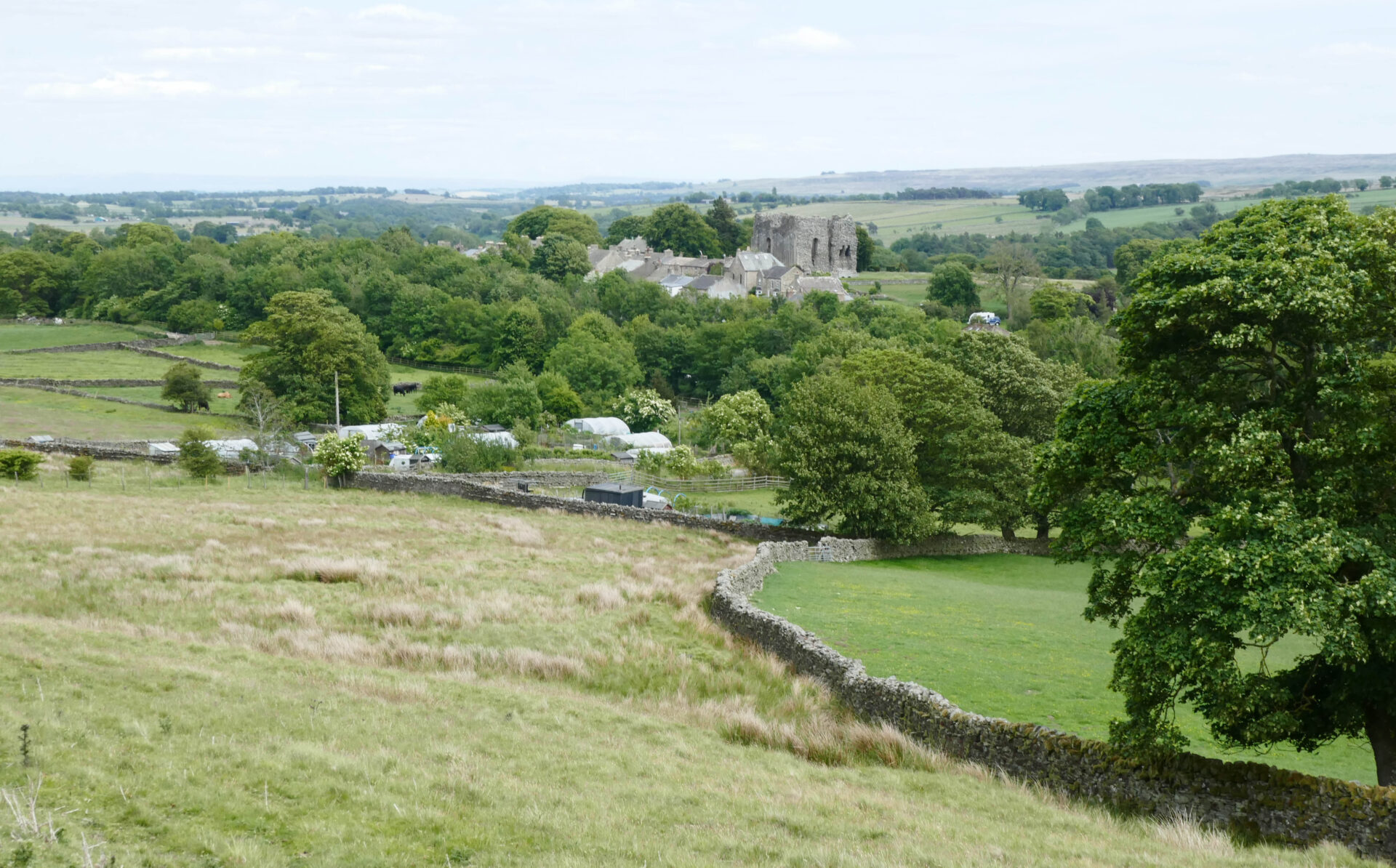
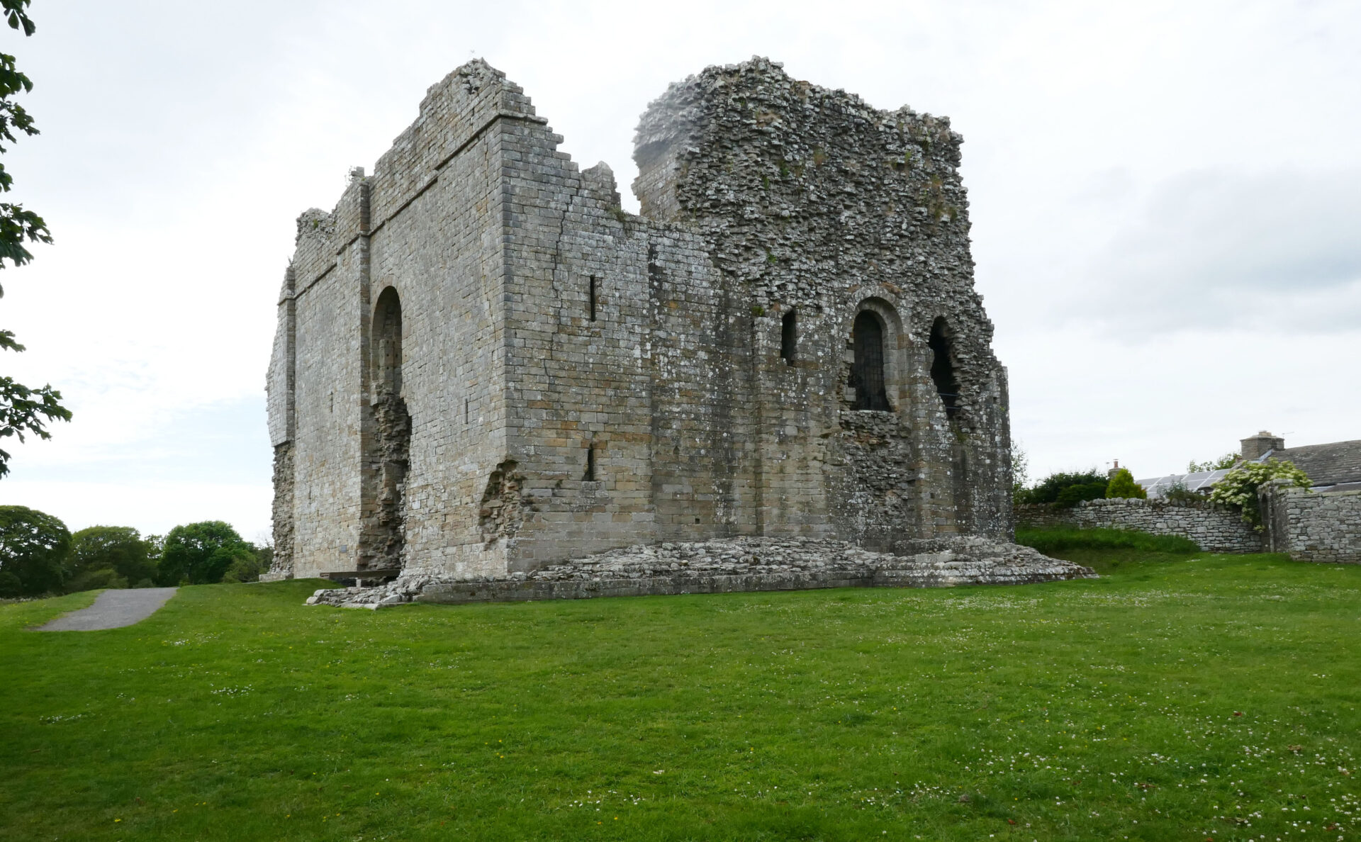
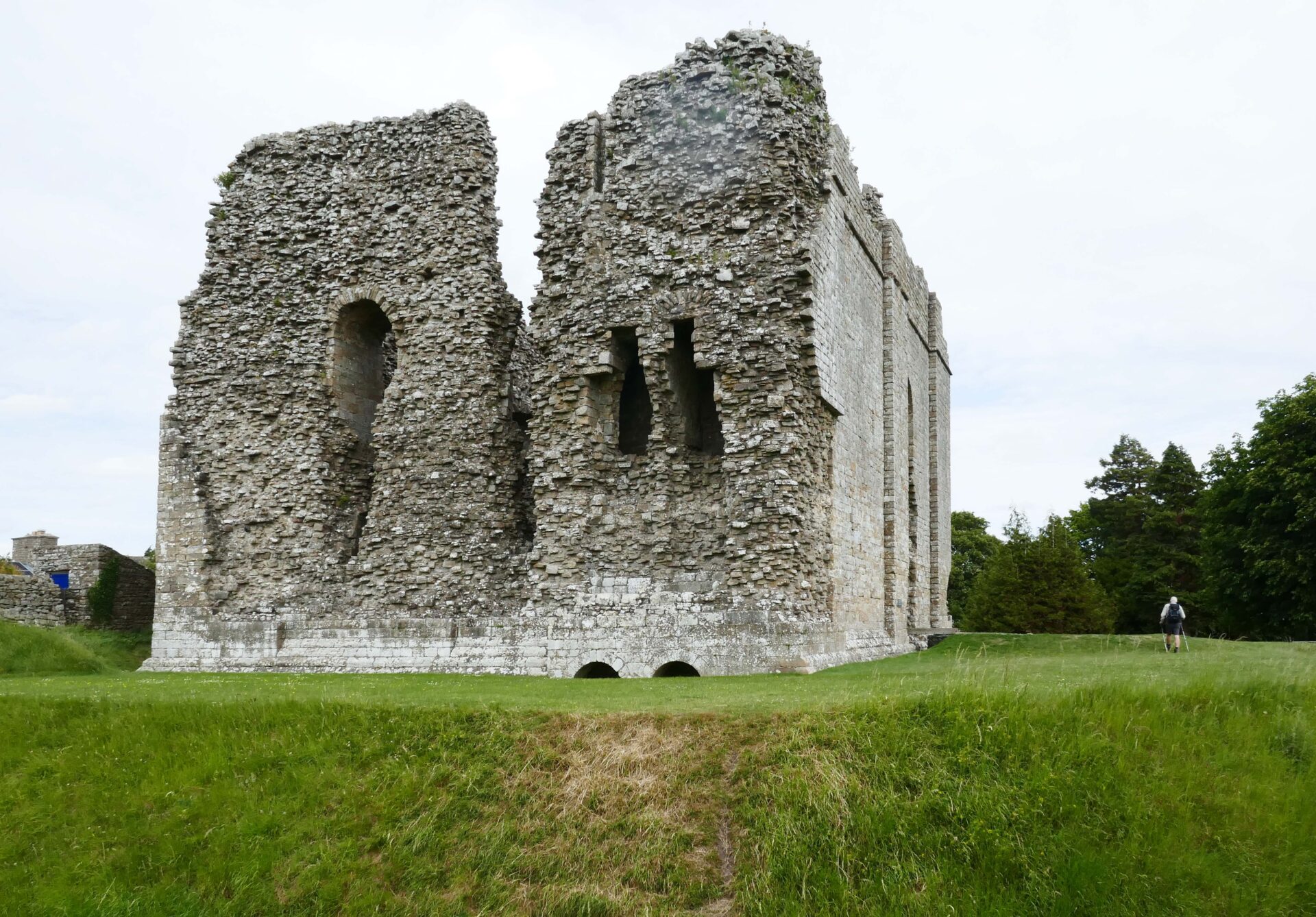
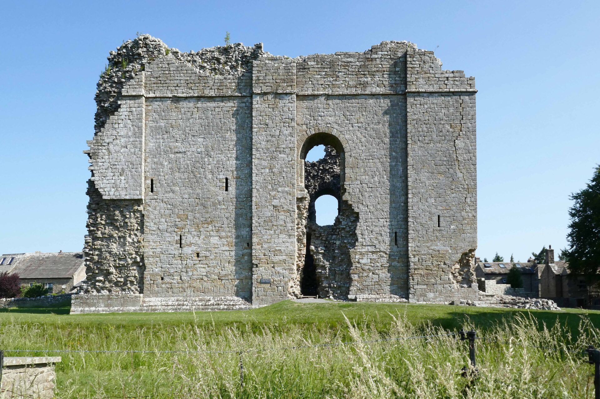
After this we were soon in Bowes and at 3.50pm we were looking around and photographing the castle ruins.
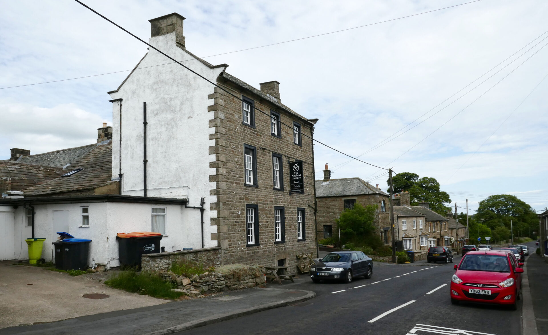
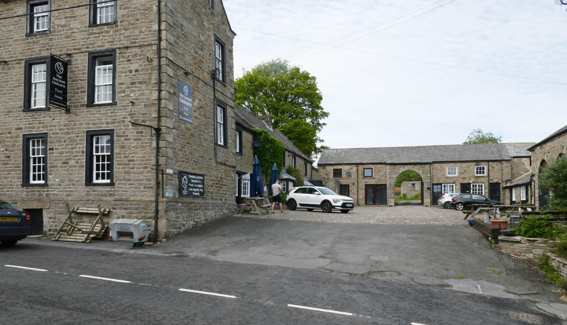
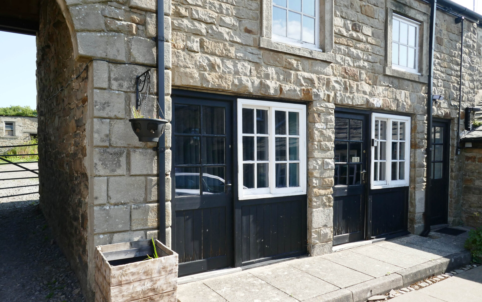
Our hostelry for the night was the Ancient Unicorn which was just a few minutes from the castle. Our room was in the old stable block in the courtyard. It didn’t feel very welcoming and we weren’t impressed with the food or beer so it’s not one that we will be revisiting.
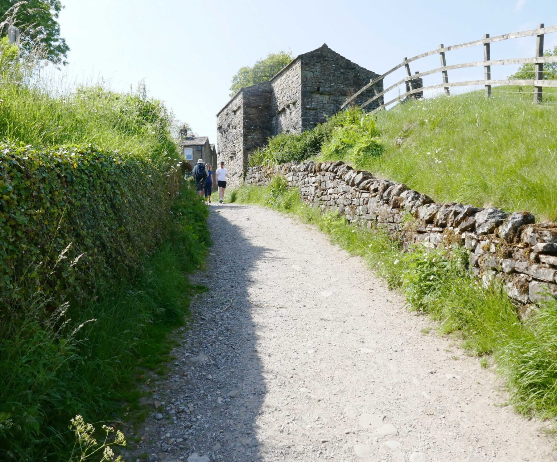
Day 11 Bowes to Keld 13.6 miles 6h 50m
Weather: sunny and dry all day.
We left the Ancient Unicorn at 9.20am, revisited the castle as the path goes right by it and pressed on across the moors to the south.
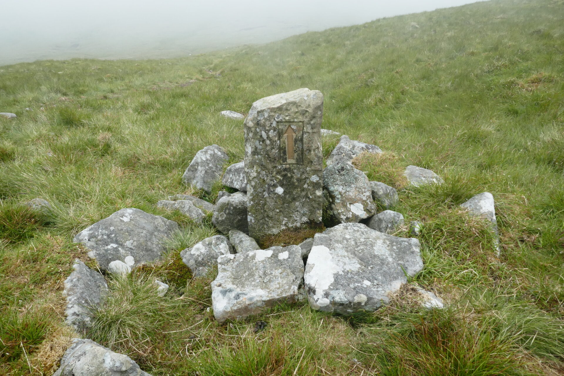
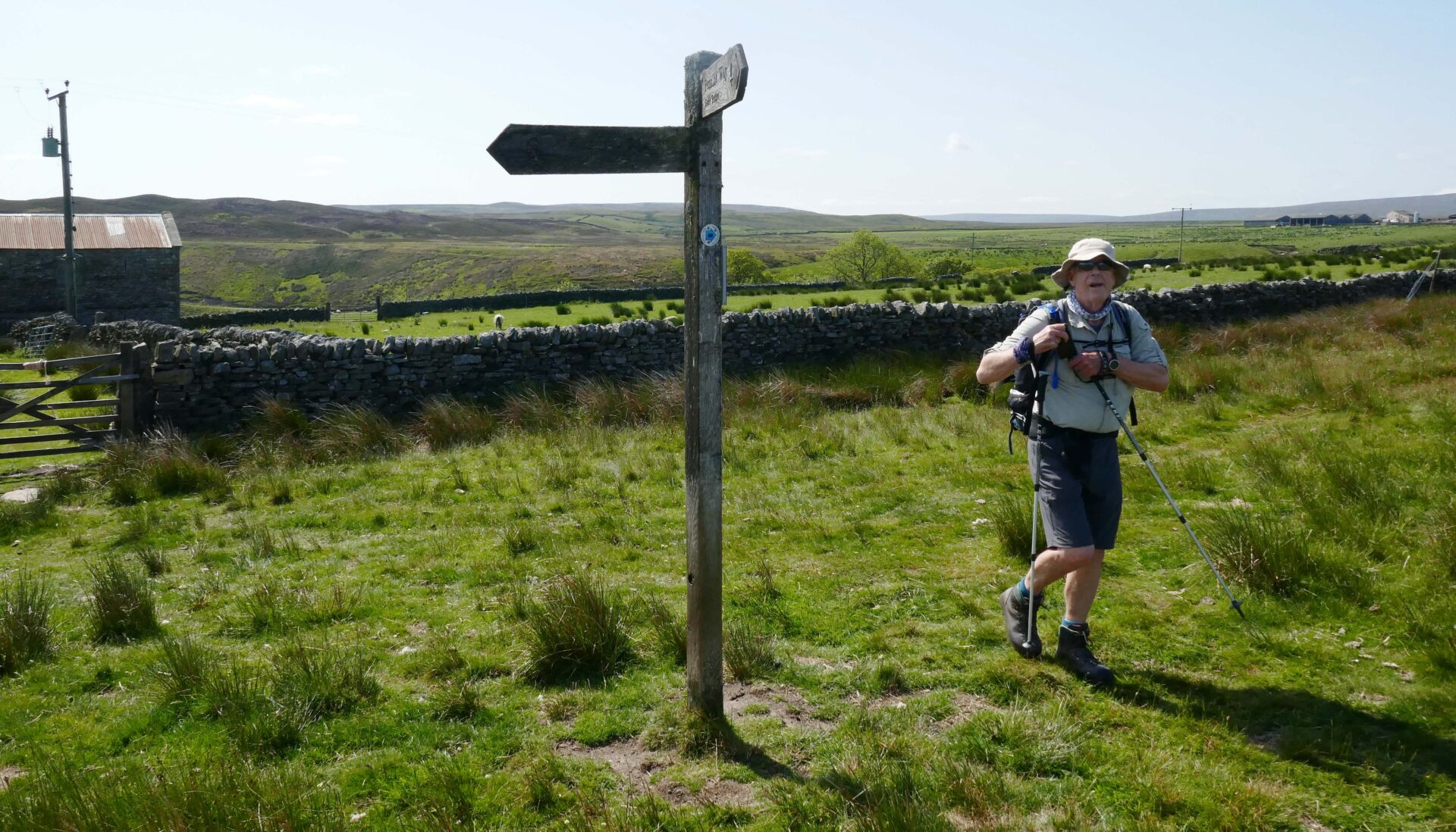
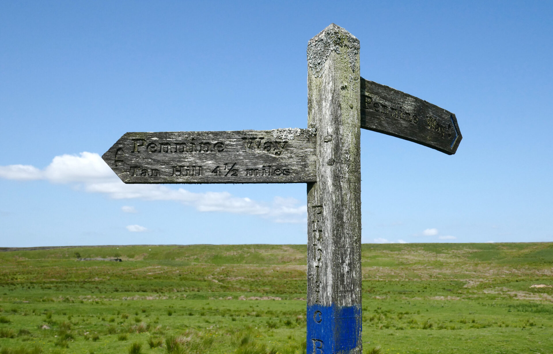
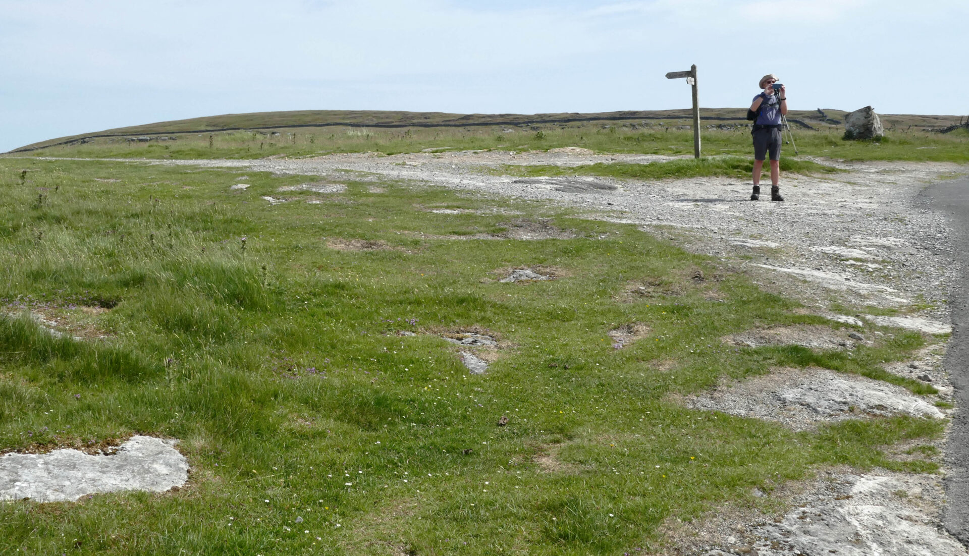
At 10.37am we came to a Pennine Way fingerpost where the Bowes diversion rejoins the main Pennine Way route.
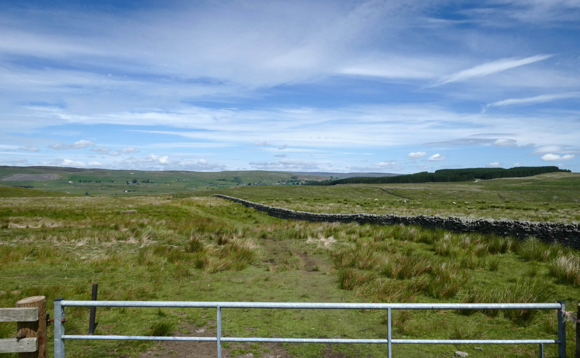
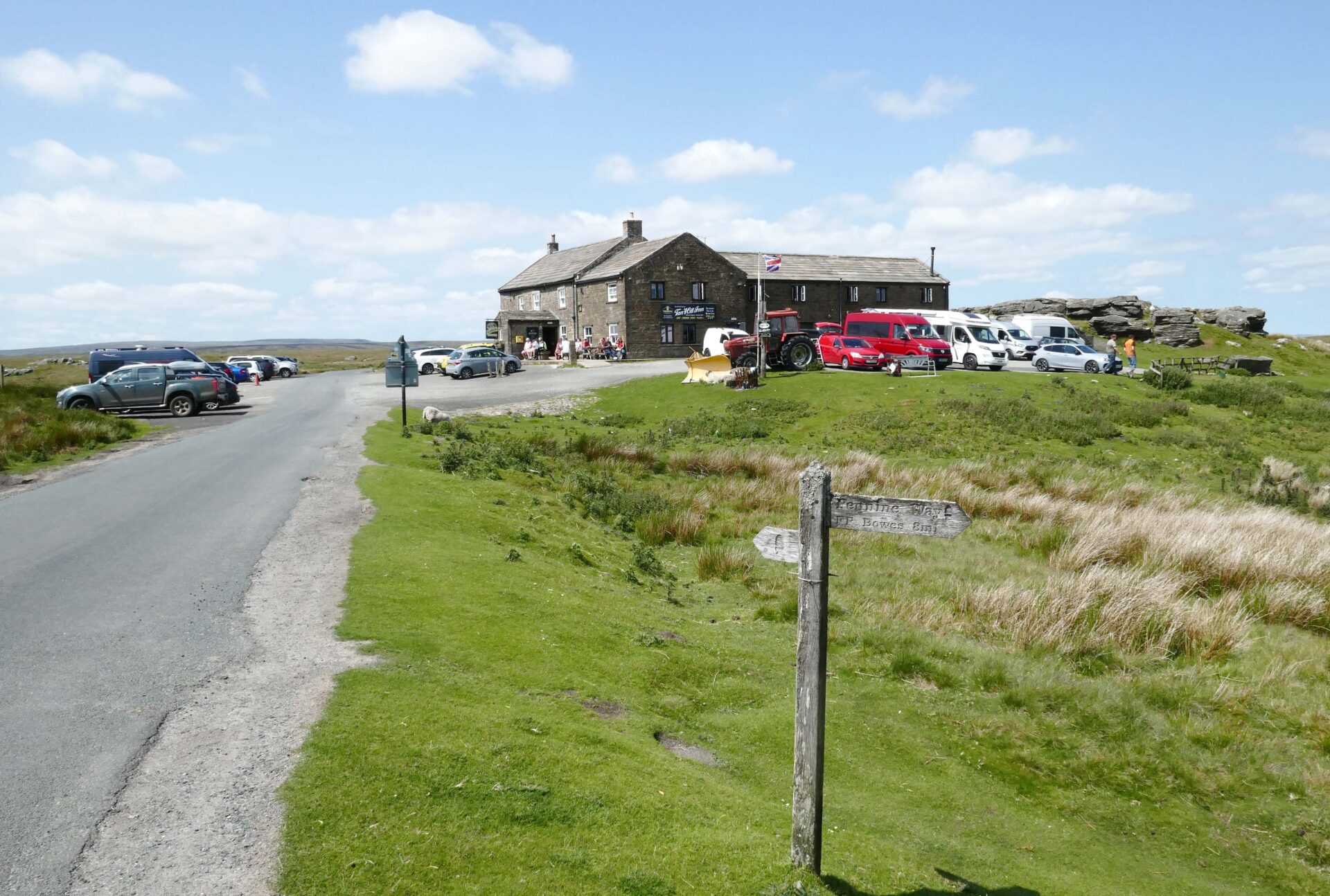
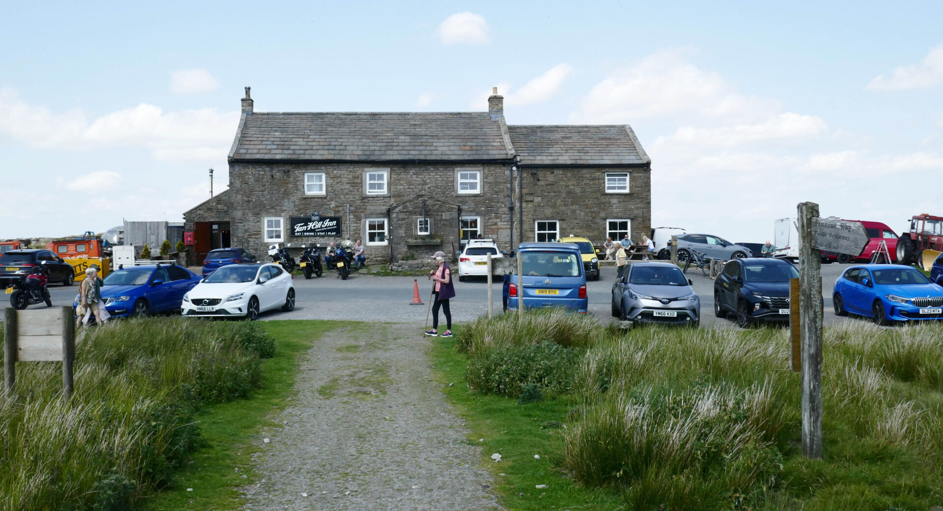
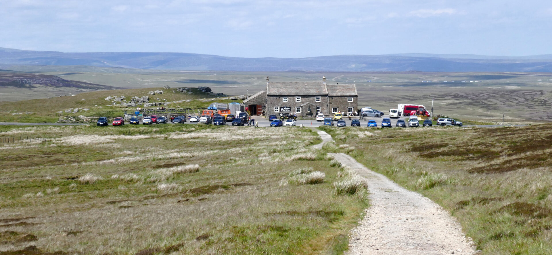
By 11am we reached Sleightholme Farm and a barrier across the road to stop vehicles going any further. Just beyond this was an old triangle warning road sign so this was a public road to Tan Hill Inn in the past.
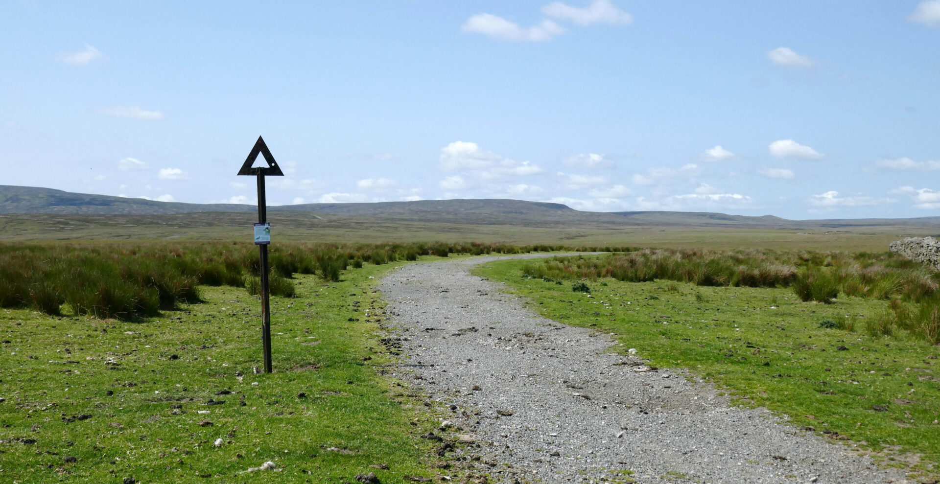
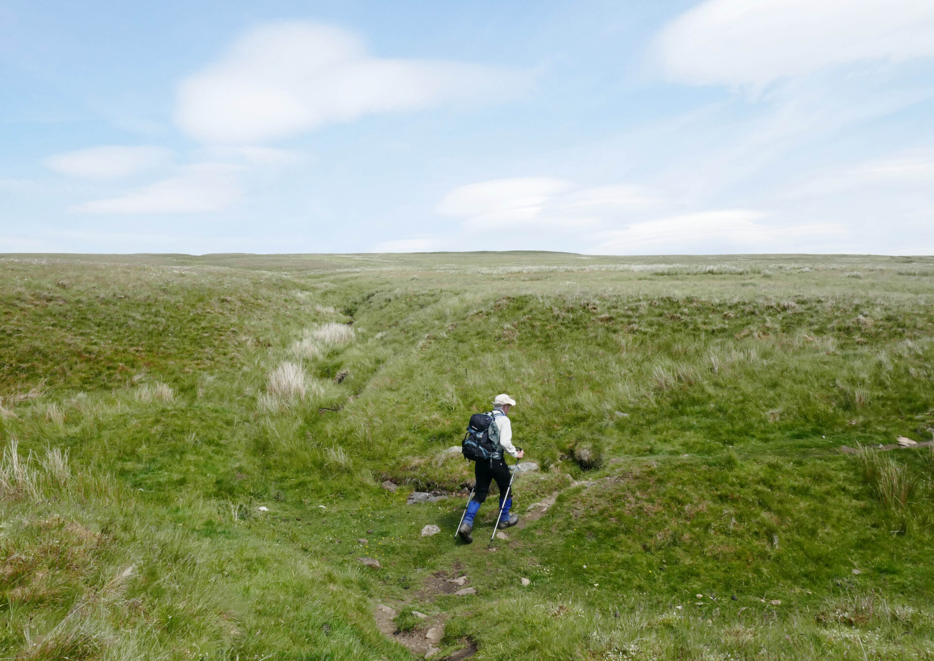
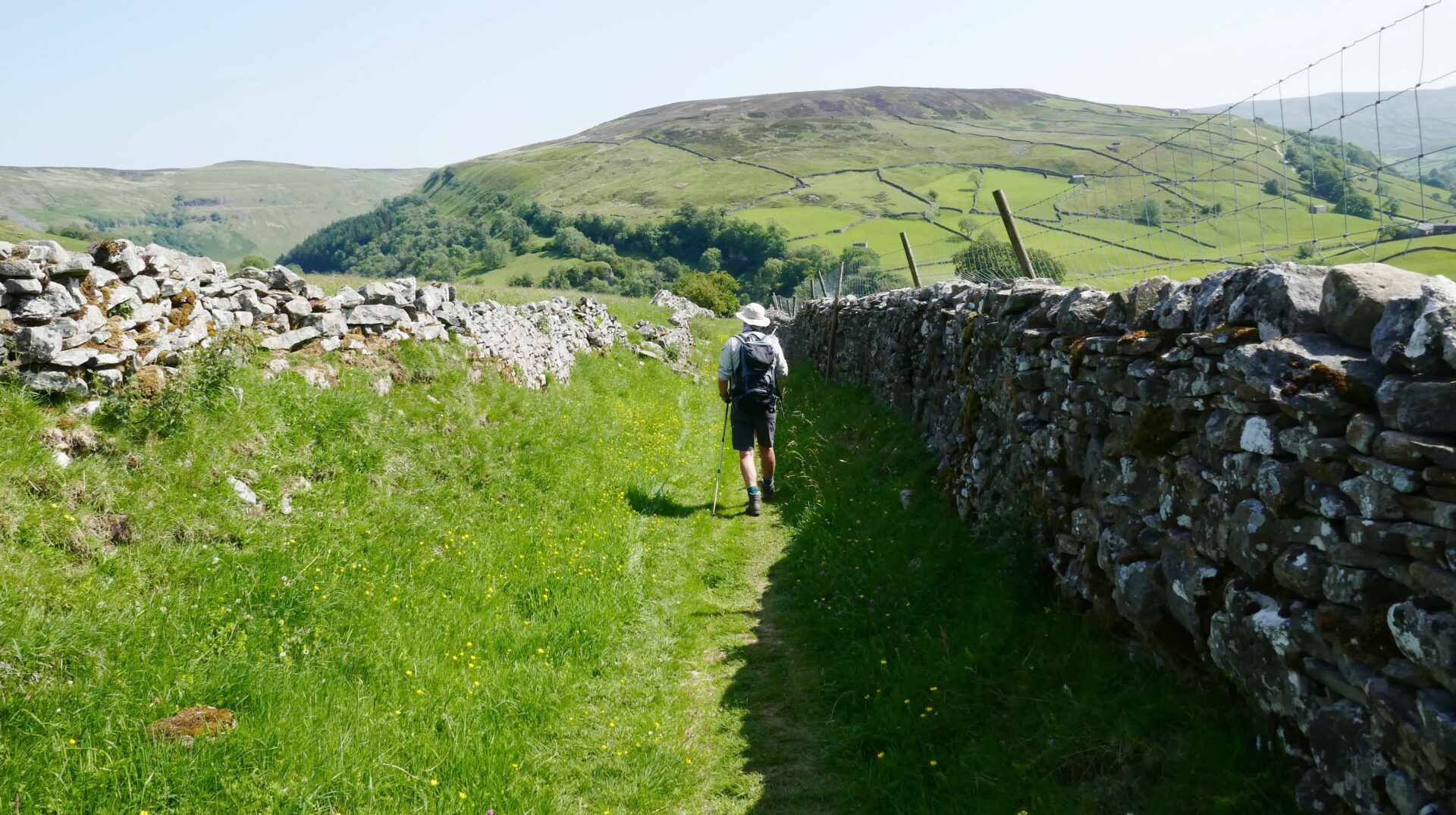
We opted to stay on the old road and avoid the moorland path over peat bog as it would be easier on my bad back and Al’s feet.
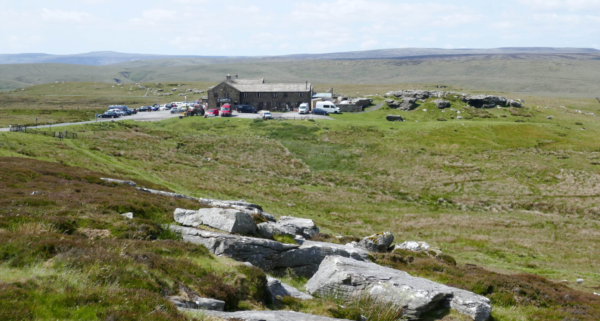
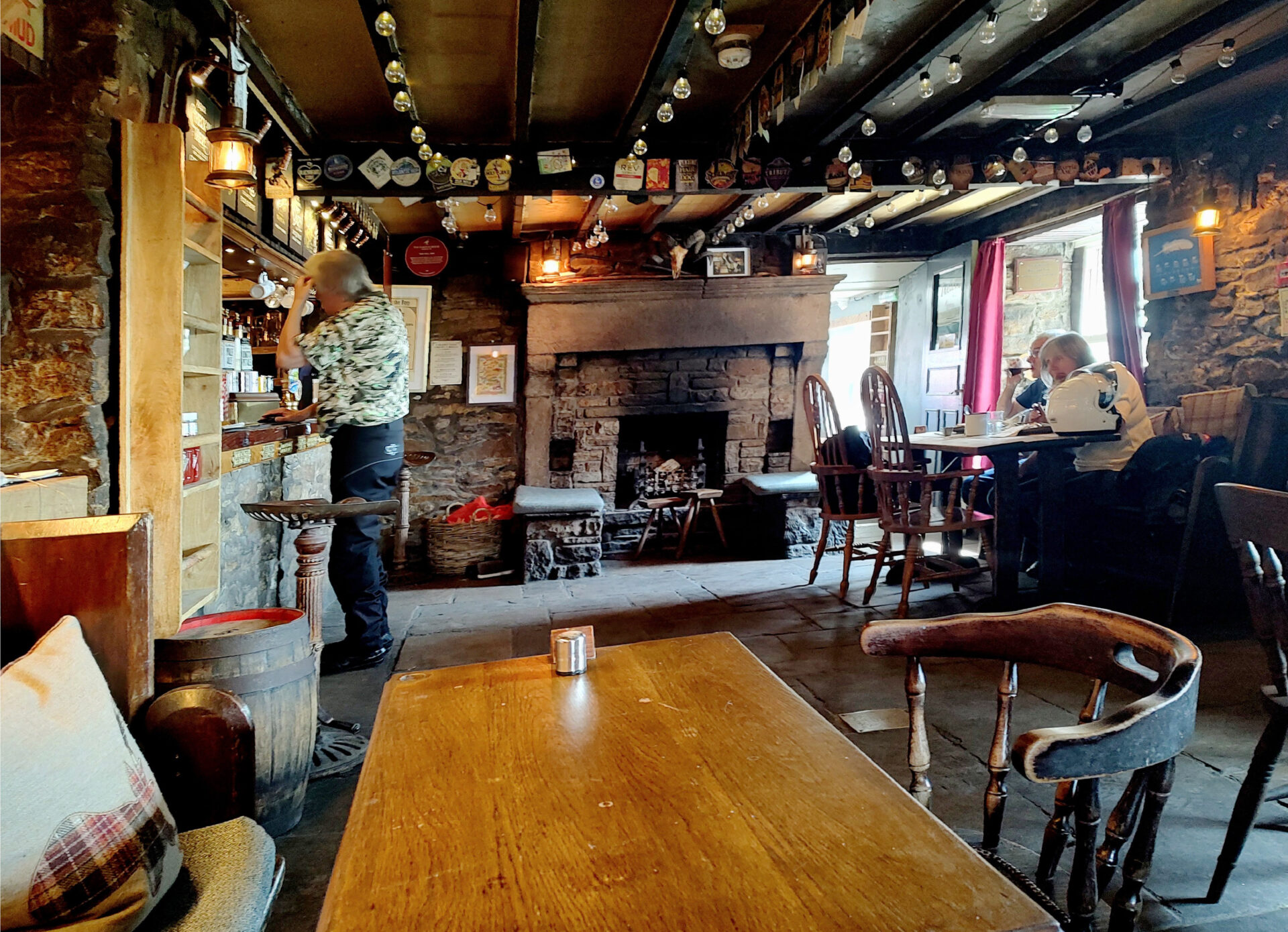
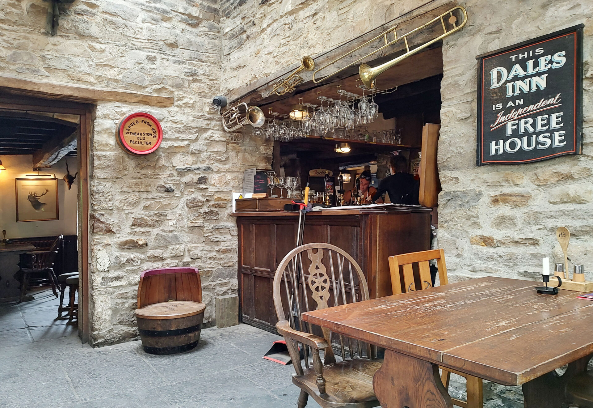
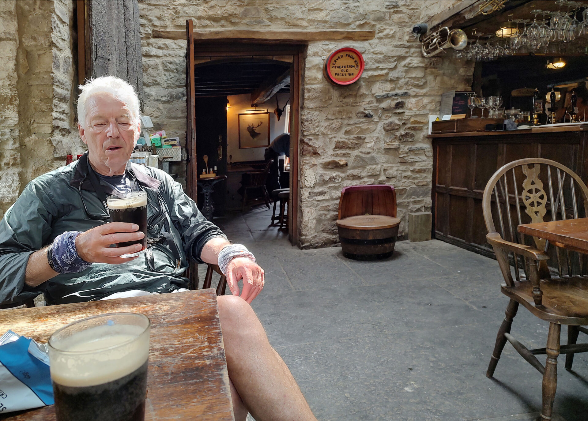
We arrived at the Tan Hill Inn at 12.45pm and it was surprisingly busy outside for mid-week in June. Fortunately, that meant there was plenty of room for us indoors and we chose a table near the bar. We had a bite to eat and a couple of excellent pints of Theakstons Old Peculier.
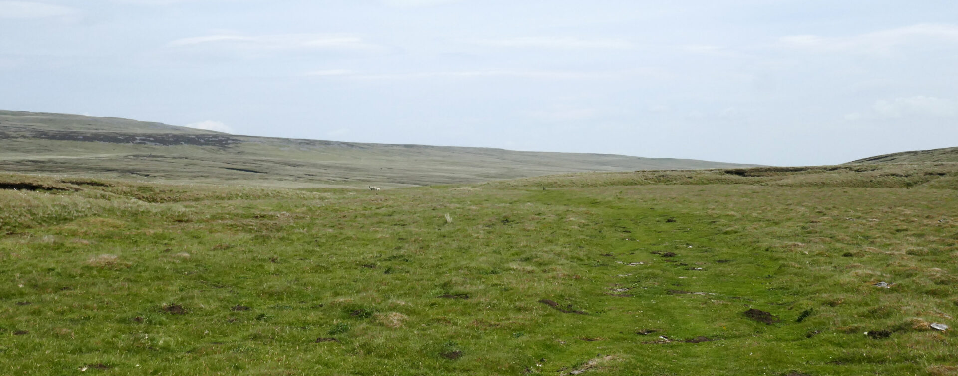
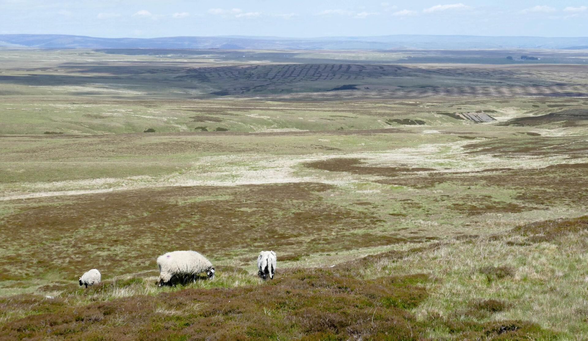
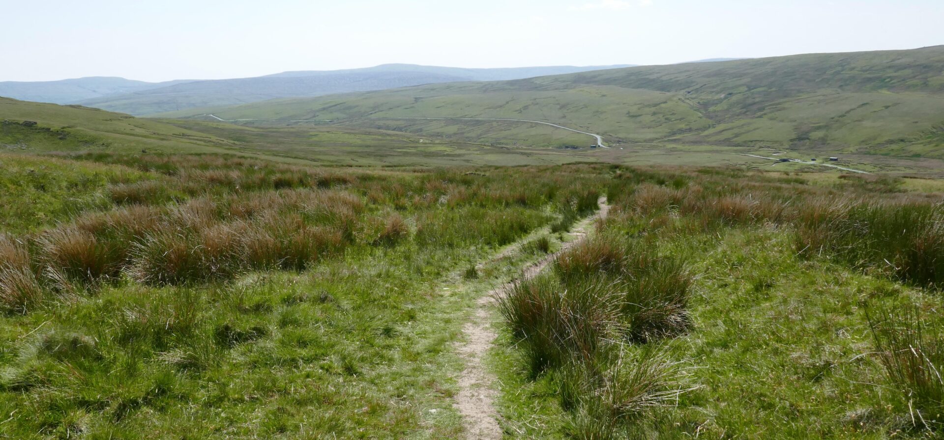
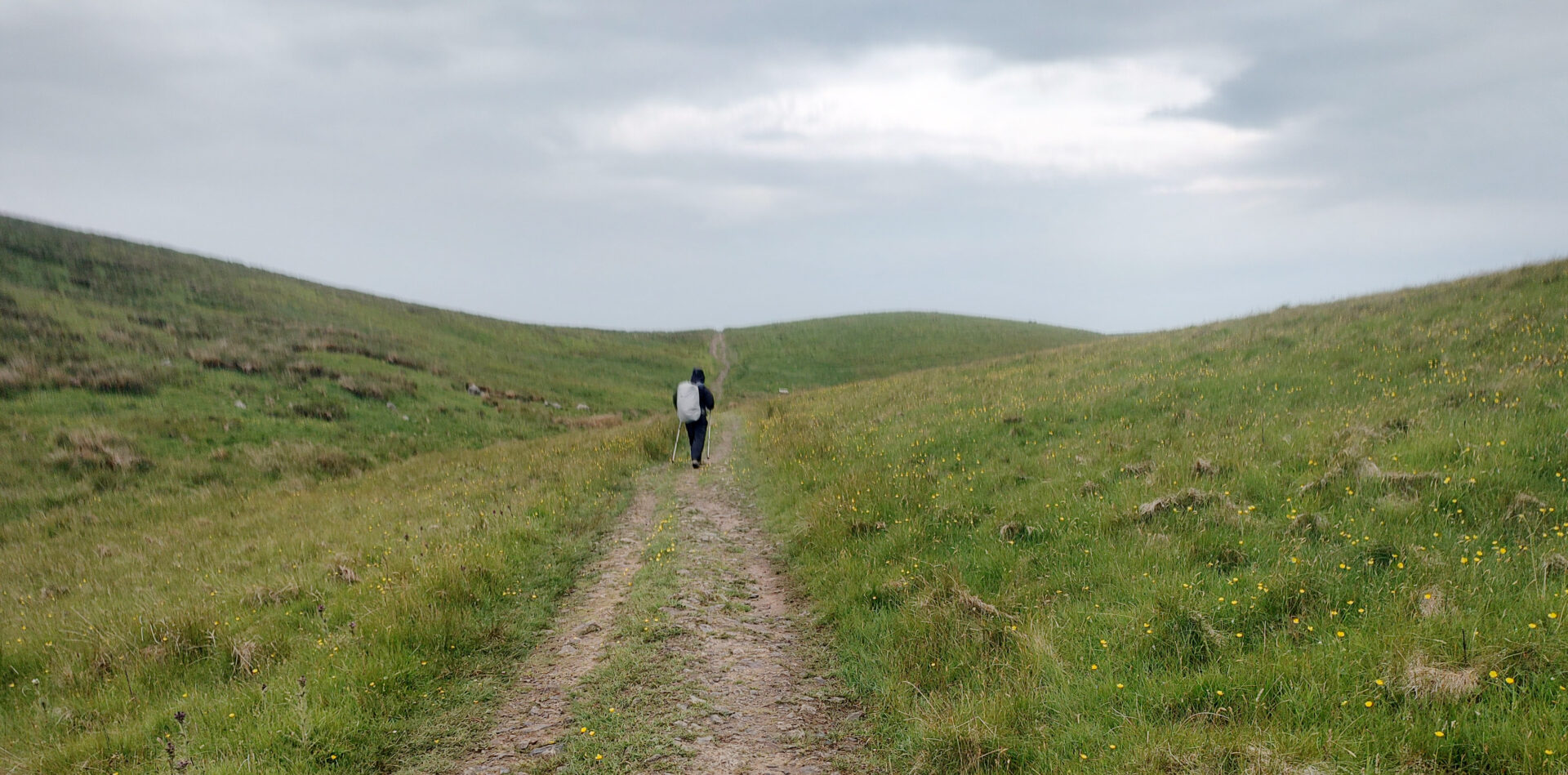
We left the pub at about 2pm and headed south over the high moors towards Keld which we reached at about 4pm.
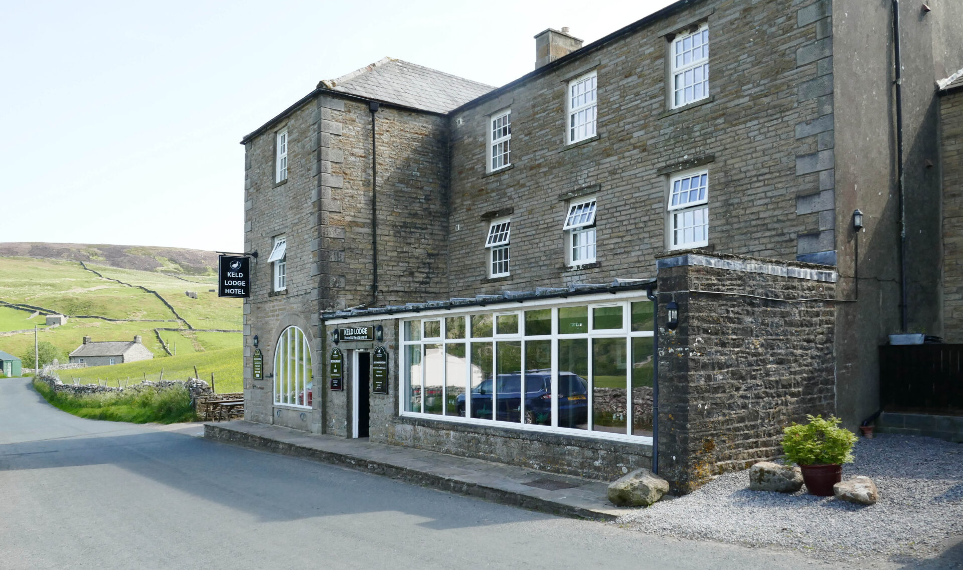
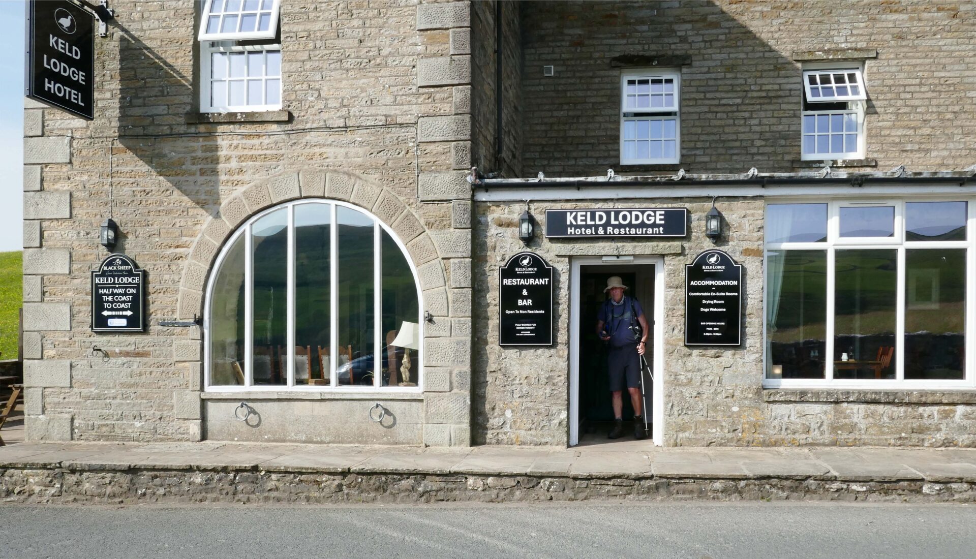
It was then just a short walk uphill to the top road and Keld Lodge Hotel, our hostelry for the night.
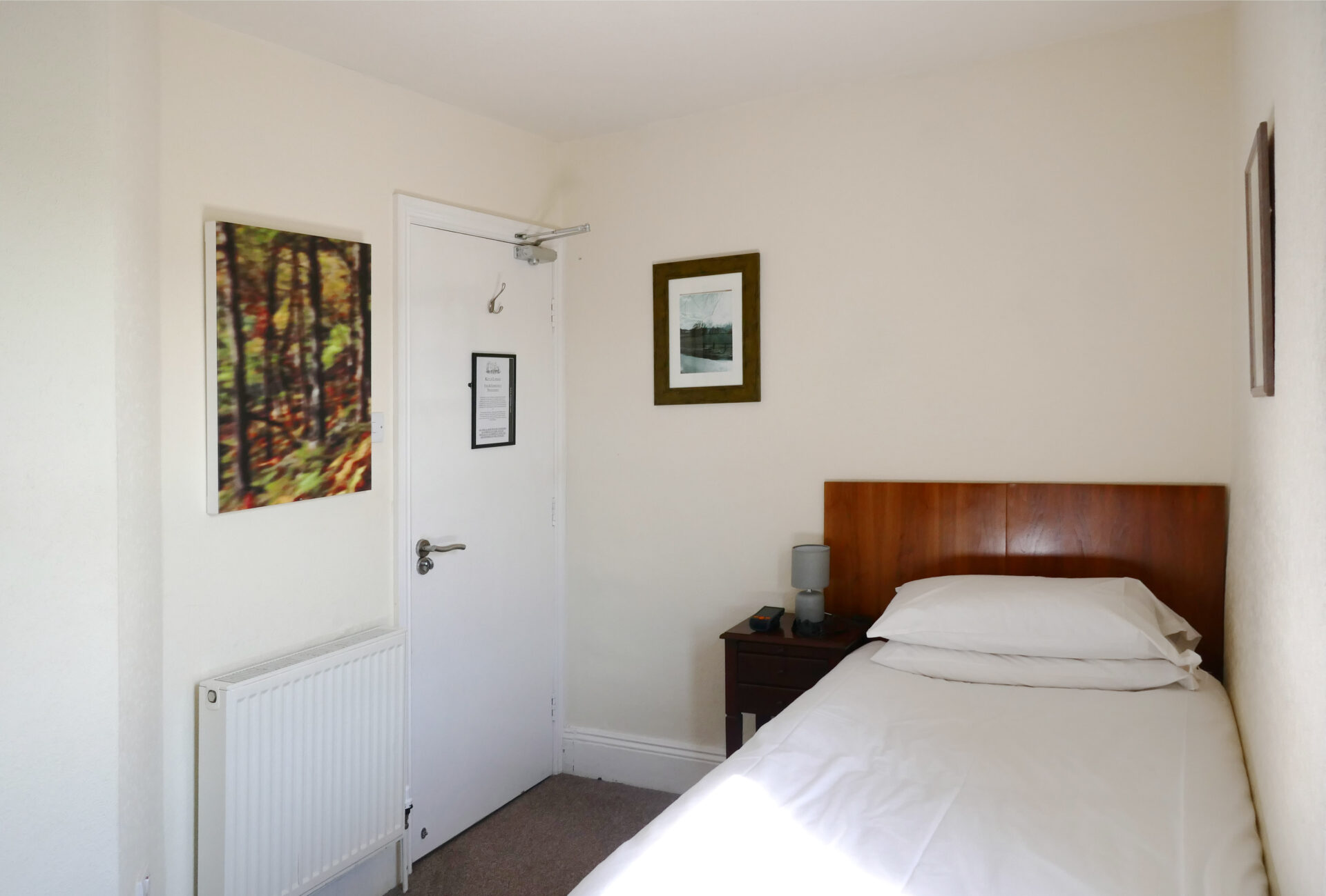
There were a couple of good real ales and the food was also very good. We had single rooms here which meant that we both had a good night’s sleep.
Day 12 Keld to Hawes 13.2 miles 7h 20m
Weather: Another sunny day but with a cool breeze
The Keld Lodge was one of the best places that we stayed on the whole route, we enjoyed it here and there was good food and good real ales.
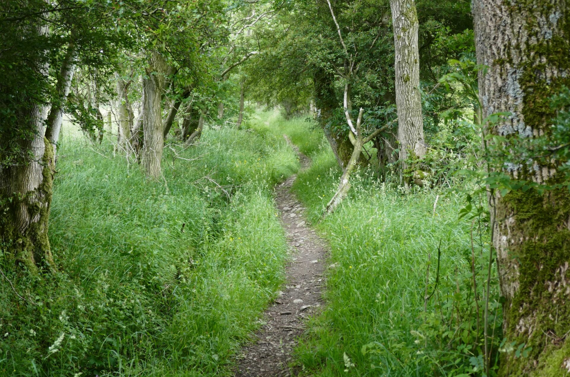
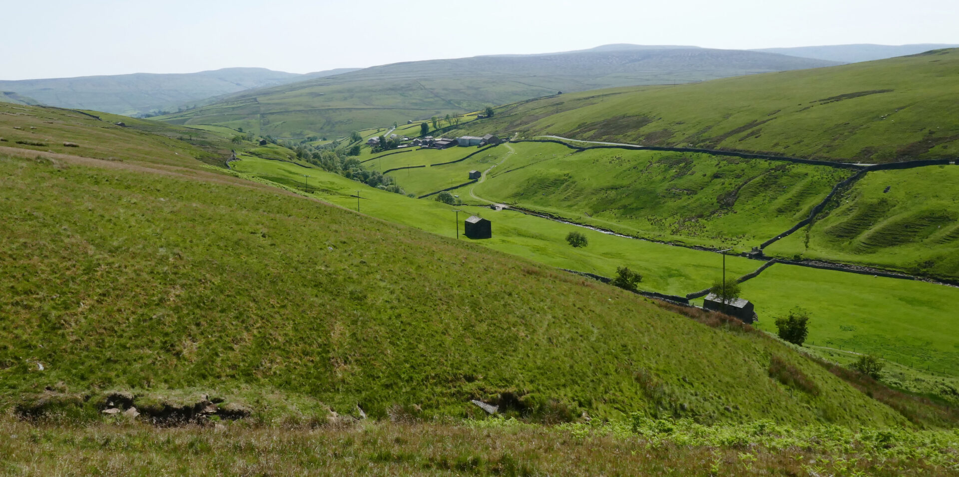
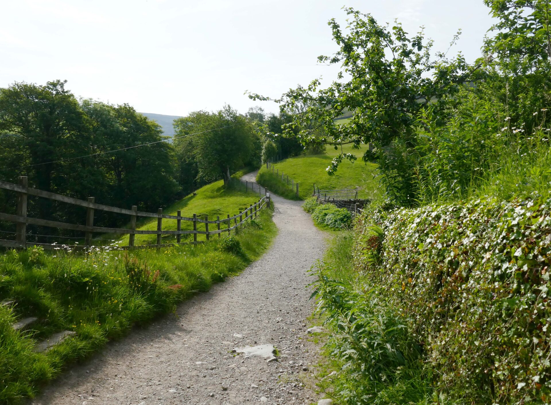
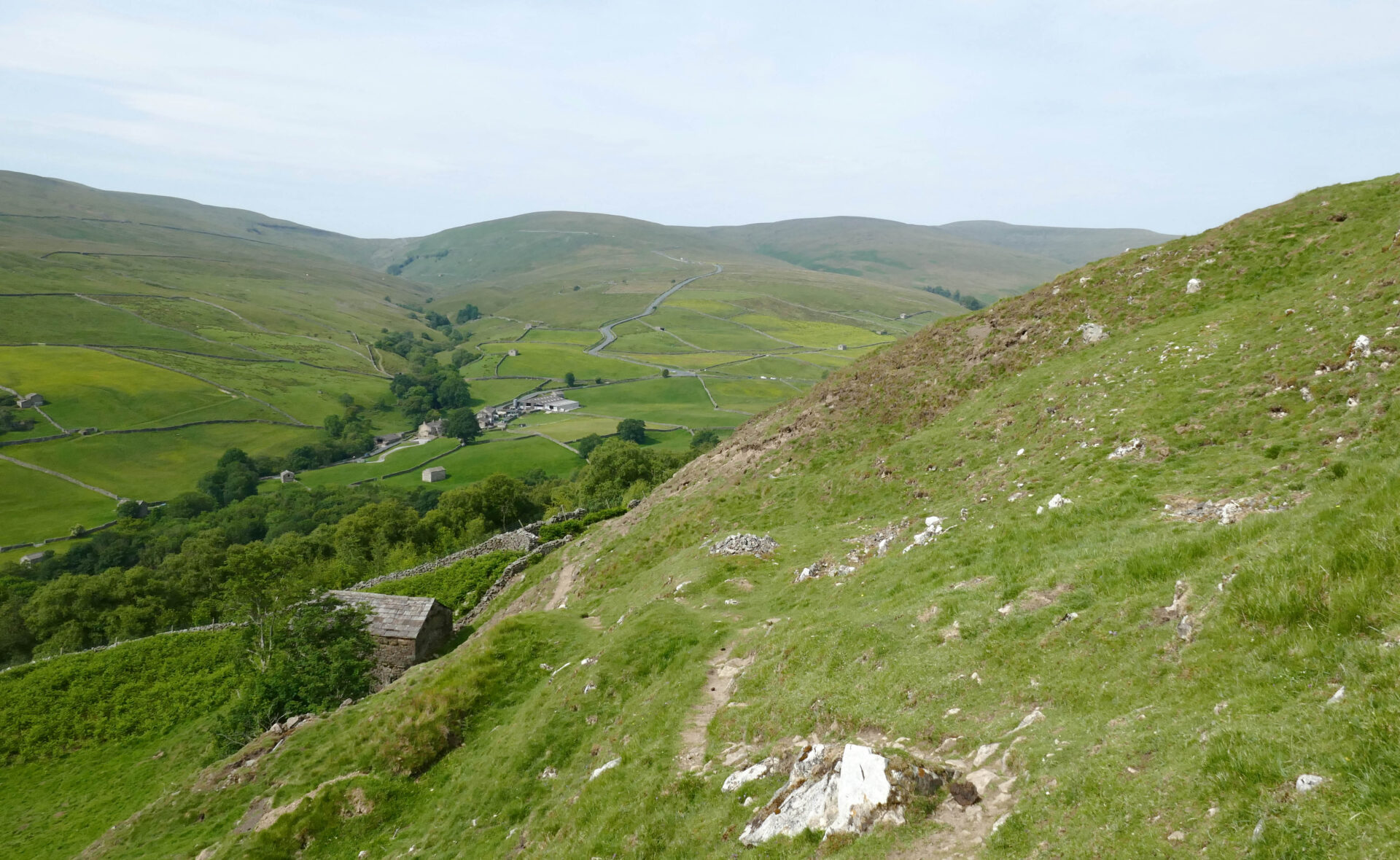
We were on our way before 9am, heading downhill back to the main Pennine Way route. This follows a good footpath high above the River Swale.
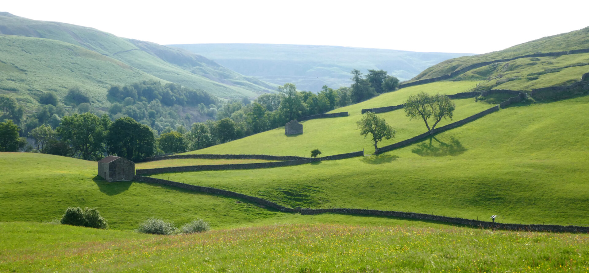
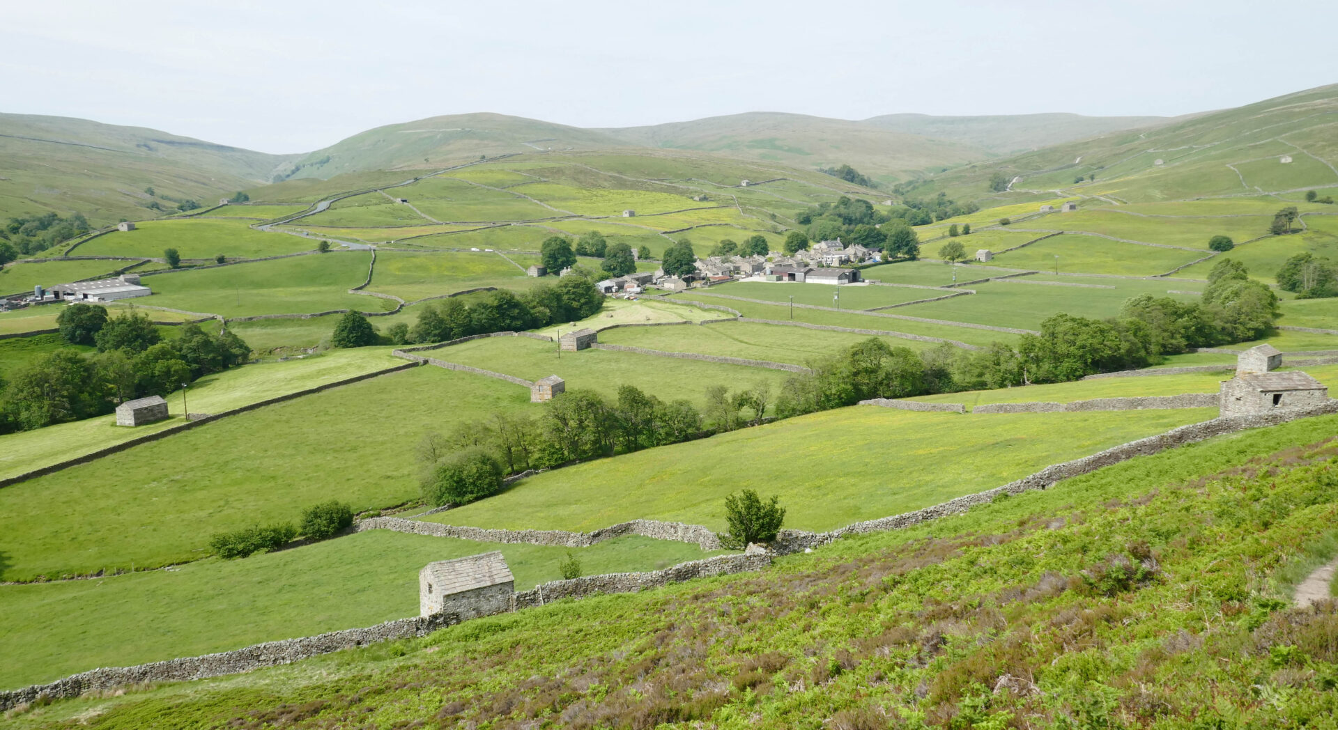
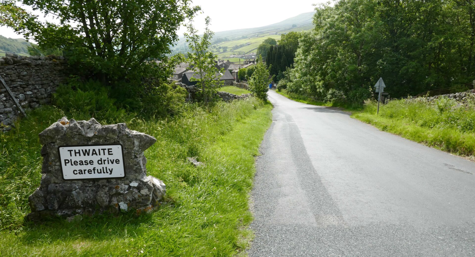
There were good views across to Great Shunner Fell, our main peak of the day, before we descended to the small village of Thwaite.
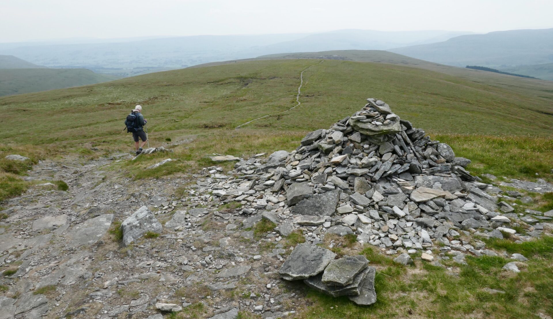
From Thwaite it took us about 2 hours to reach the top of Great Shunner Fell in sunshine after about 430m of gentle ascent on good paths.
We stopped for a bite to eat at the top and chatted with 3 other people already there. They moved off before us.
The paths on the way down to Hardraw were in equally good condition and we reached Hardraw village in just under 2 hours from the top.
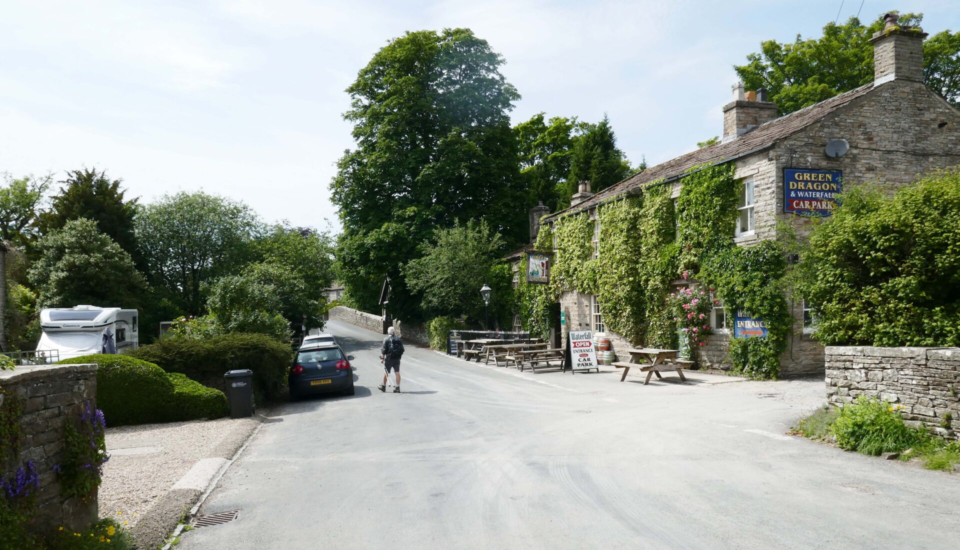
We stopped at the Green Dragon pub for a couple of pints of Theakstons Old Peculier and a bit of a break.
From Hardraw it was just over a few fields to Hawes and the Board Inn where we were staying in a twin room. We ate at the Fountain Inn just a few doors down, it was buzzing as they had the rugby on the TV which Al was keen to watch. The food and beer were both good here.
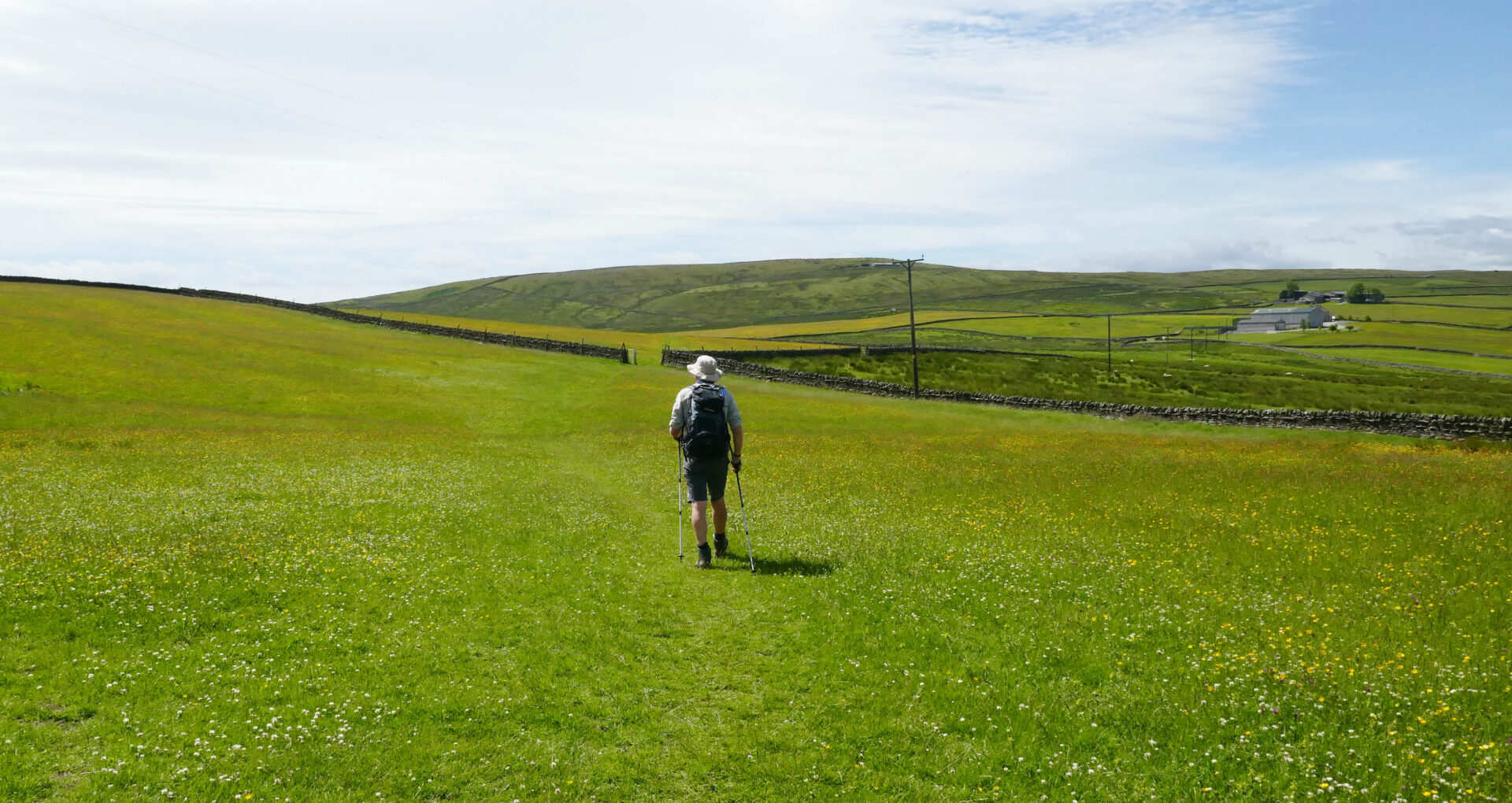
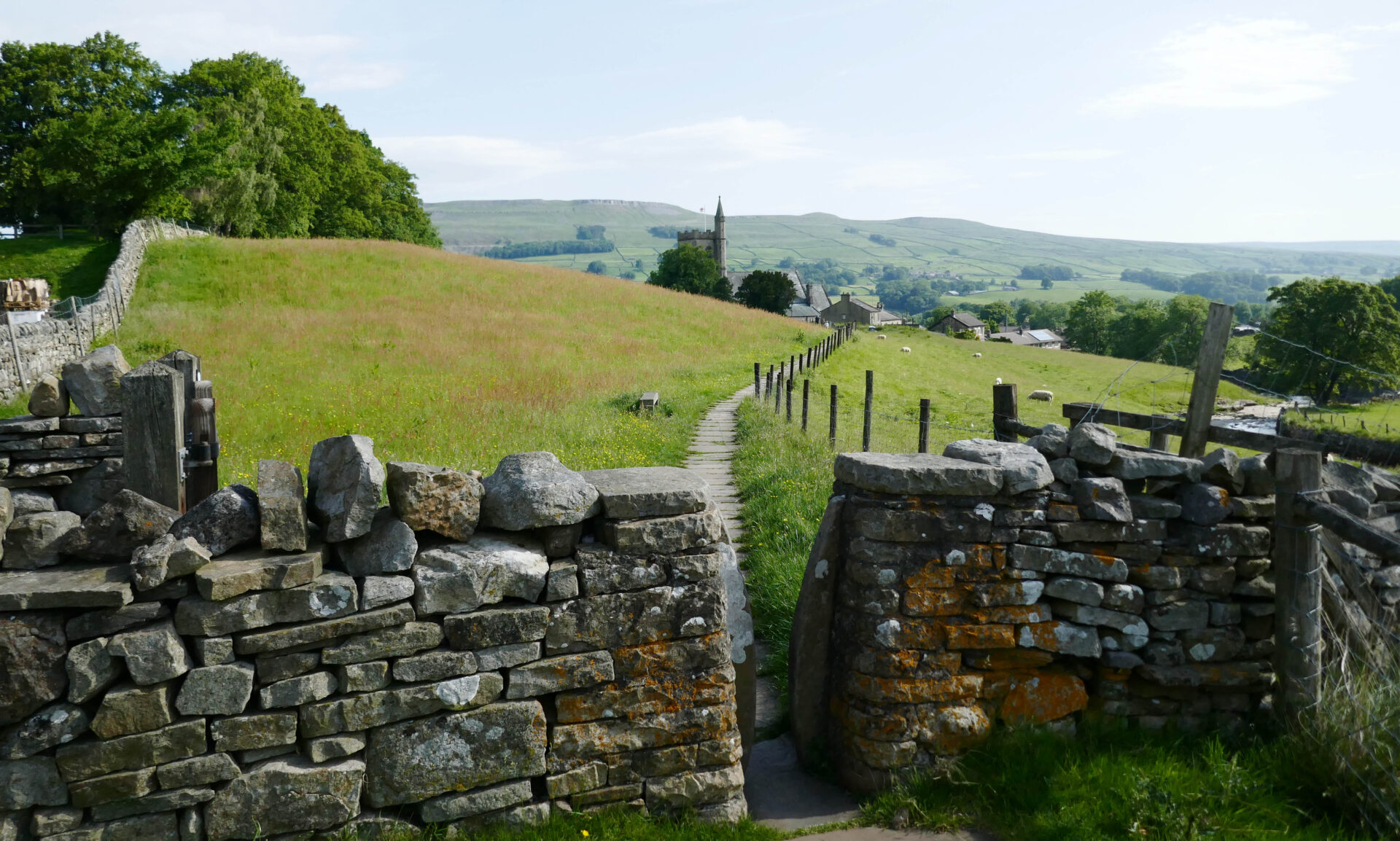
Day 13 Hawes to Horton-in-Ribblesdale 14.1 miles 5h 45m
Weather: Sunny spells with a cool breeze on the tops with light rain showers from 12.30pm.
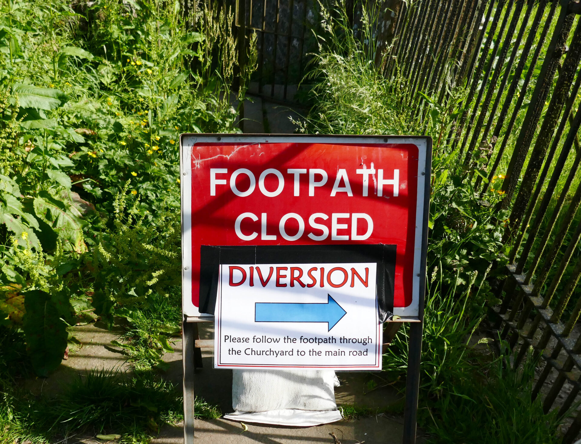
We left the hotel a bit after 9am and headed for the Pennine Way path beside the church. Unfortunately, it was closed so we went through the churchyard instead, which brought us onto the closed path just beyond the closure.
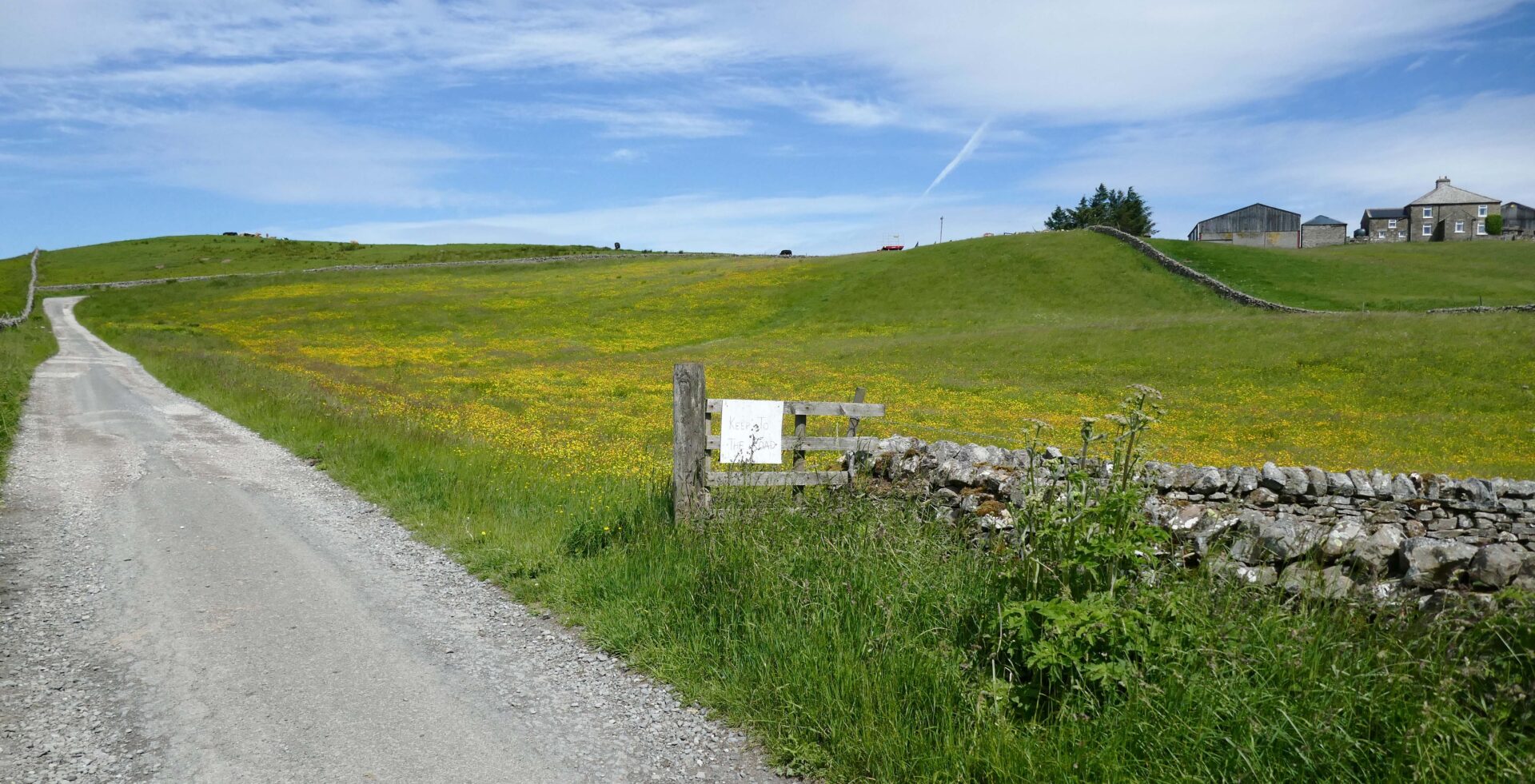
From there a good footpath led us around the outskirts of Hawes and neighbouring Gayle to open country. Looking ahead to the dry stone walls it looked like they had been built by someone after a session in the pub! We’re used to seeing walls built in straight lines but these weaved left and right over the hillside ahead.
We were quickly climbing up the hillside on good paths to join a cart track around 10.30am.
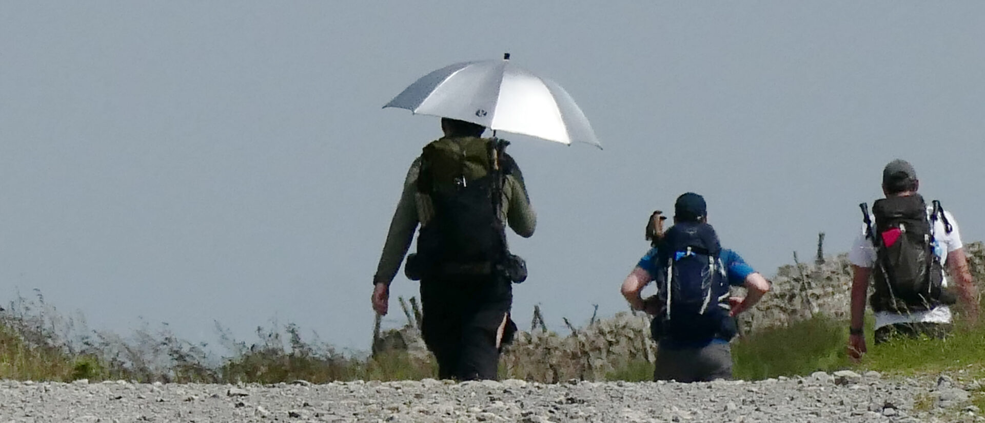
An hour later we reached Cam High Road. This is an old Roman road. A walker with a sun brolly went past us heading north, that’s something you don’t see every day in the Yorkshire Dales! It must have come in handy later when we had heavy rain.
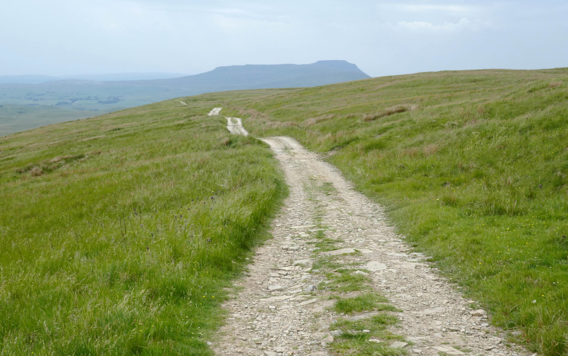
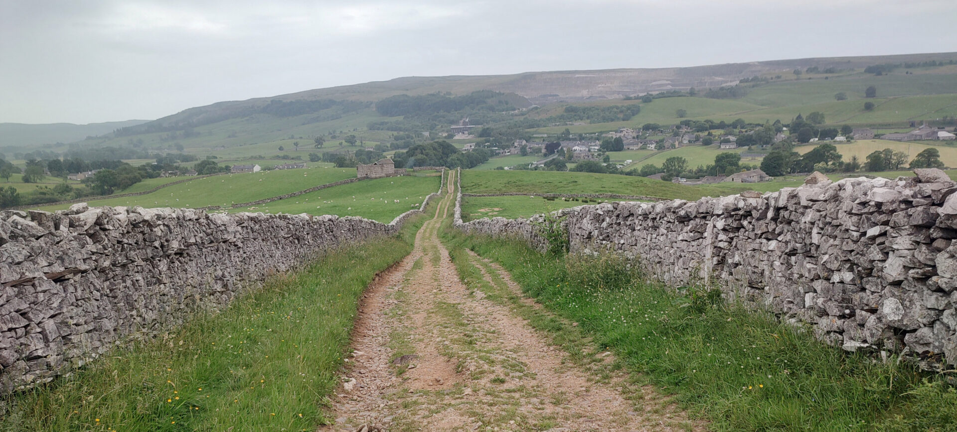
Just after midday we stopped for a bite to eat just at the junction of Cam High Road with the track to Horton-in-Ribblesdale. We had views to Ingleborough and the Ribblehead viaduct. It was spitting with rain by the time we finished so we put on waterproofs for the next section.
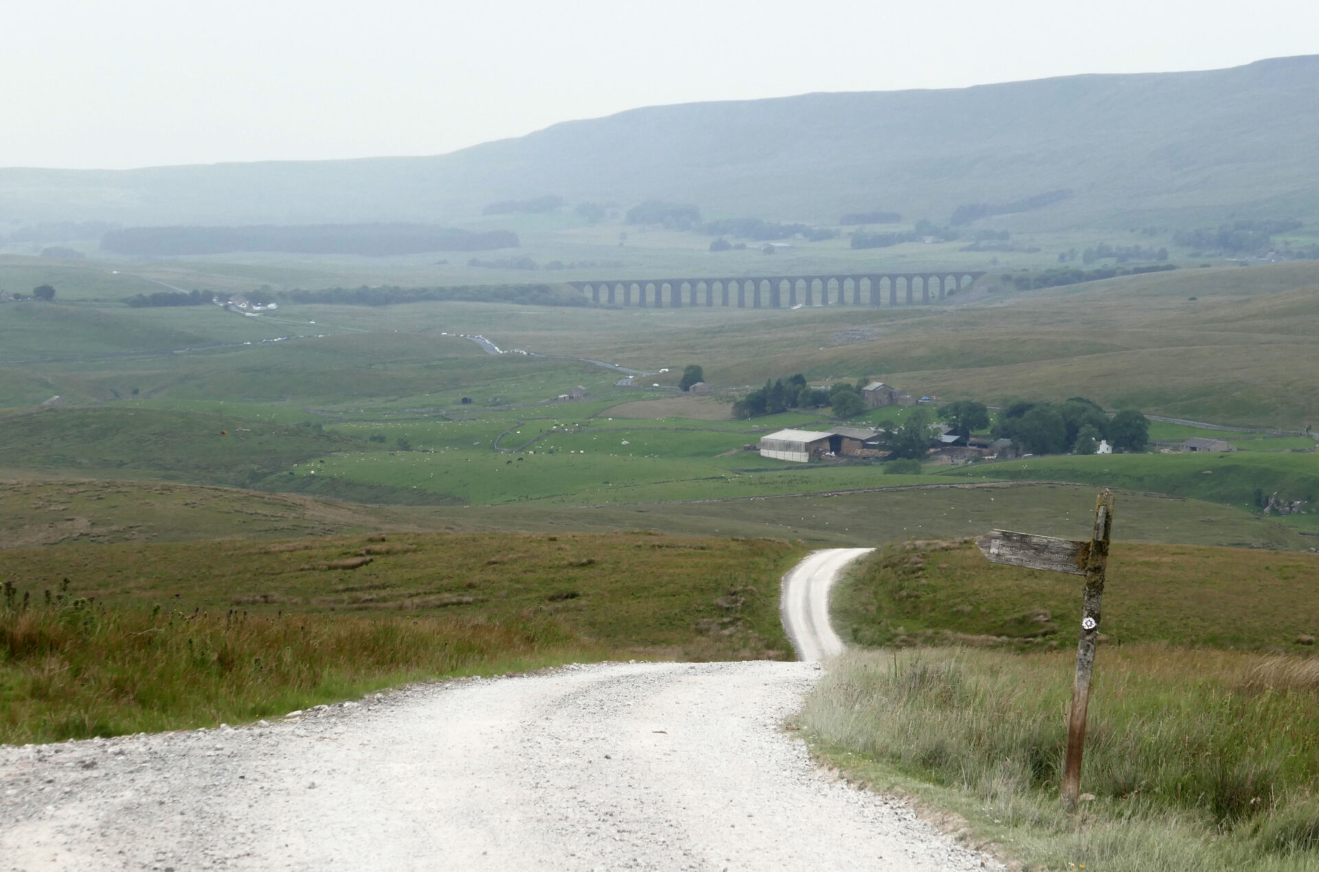
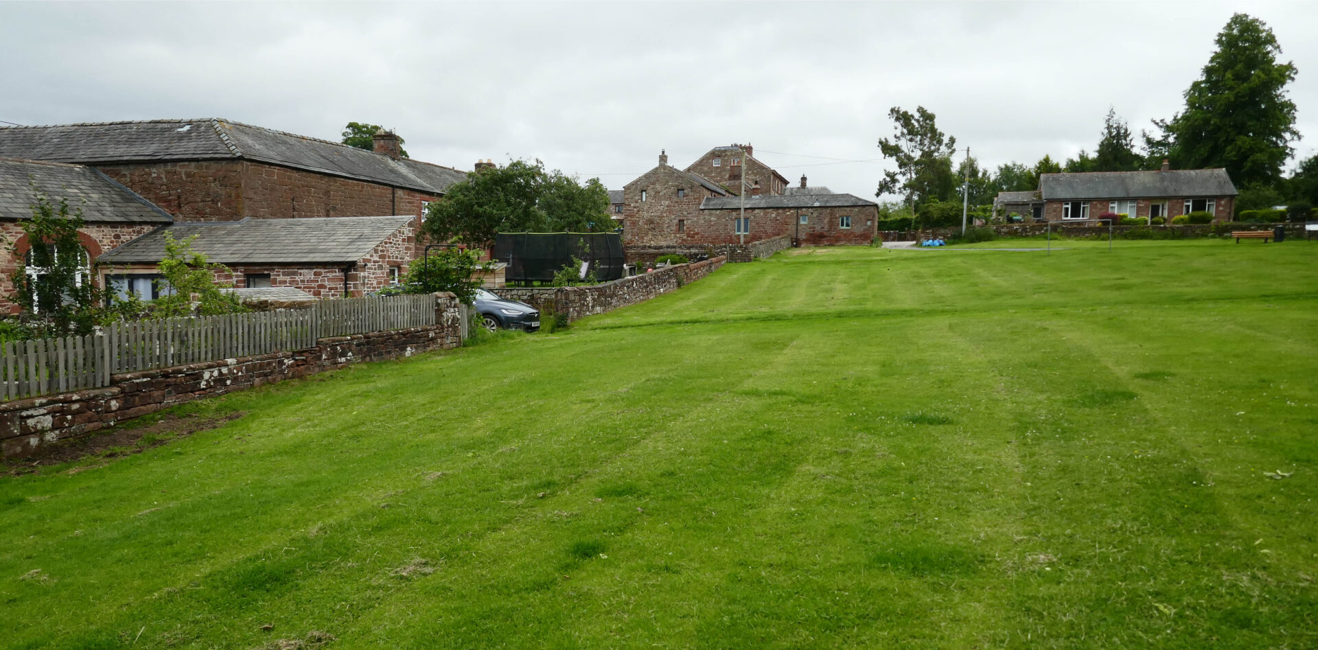
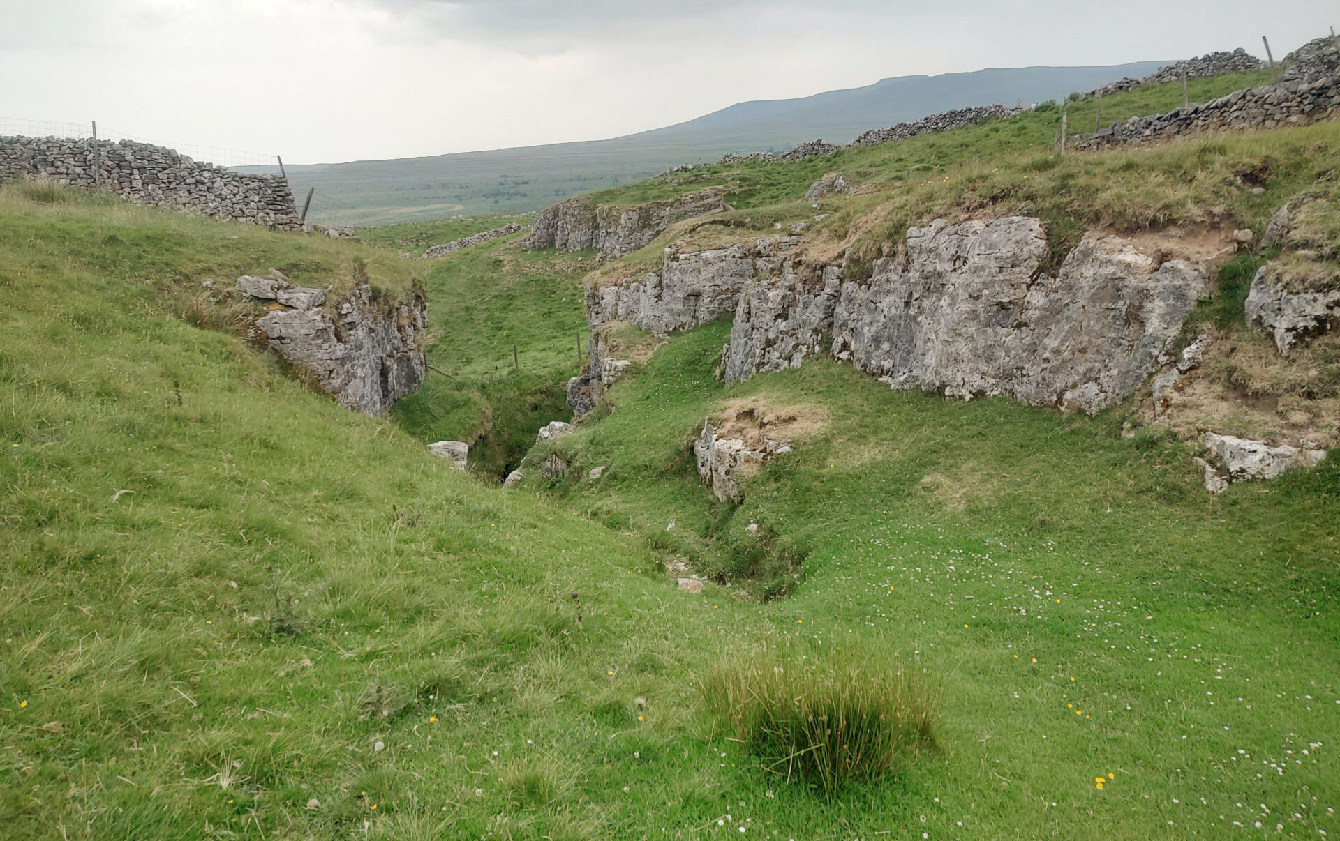
The track passed several well known caving potholes such as Calf Holes and Sell Gill before heading down into the busy village of Horton-in-Ribblesdale. There were lots of walkers doing the 3 peaks challenge as you often see here now, not just in the summer.
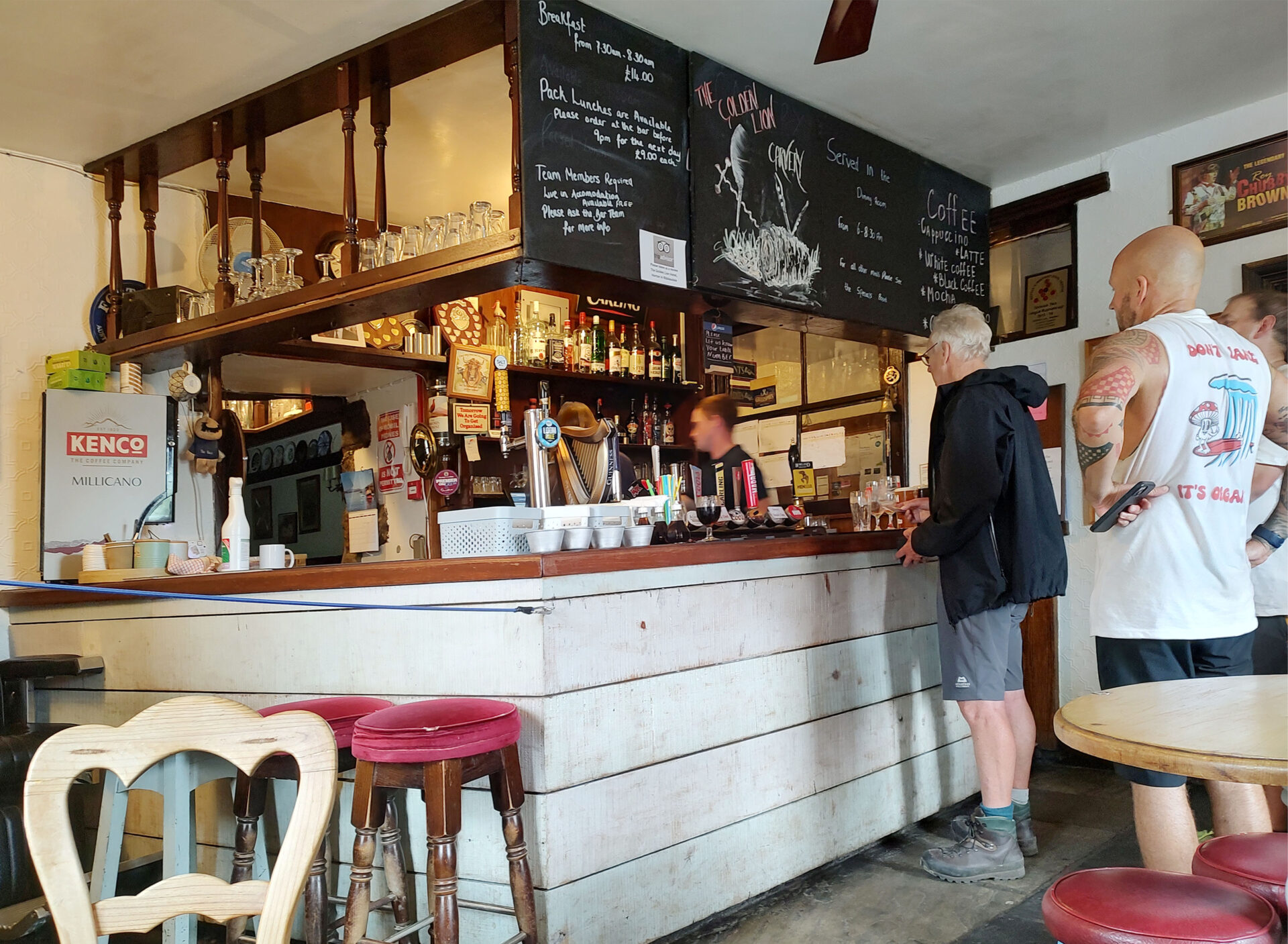
We finished this leg of the Pennine Way at 3pm in the Golden Lion bar. We had been unable to book any accommodation in Horton so Al collected his car from the campsite car park, after checking in the office that there was nothing extra to pay as it was there for half a day extra to what he had booked. All was fine.
Al drove us the few miles to the village of Clapham where we were staying in the New Inn.
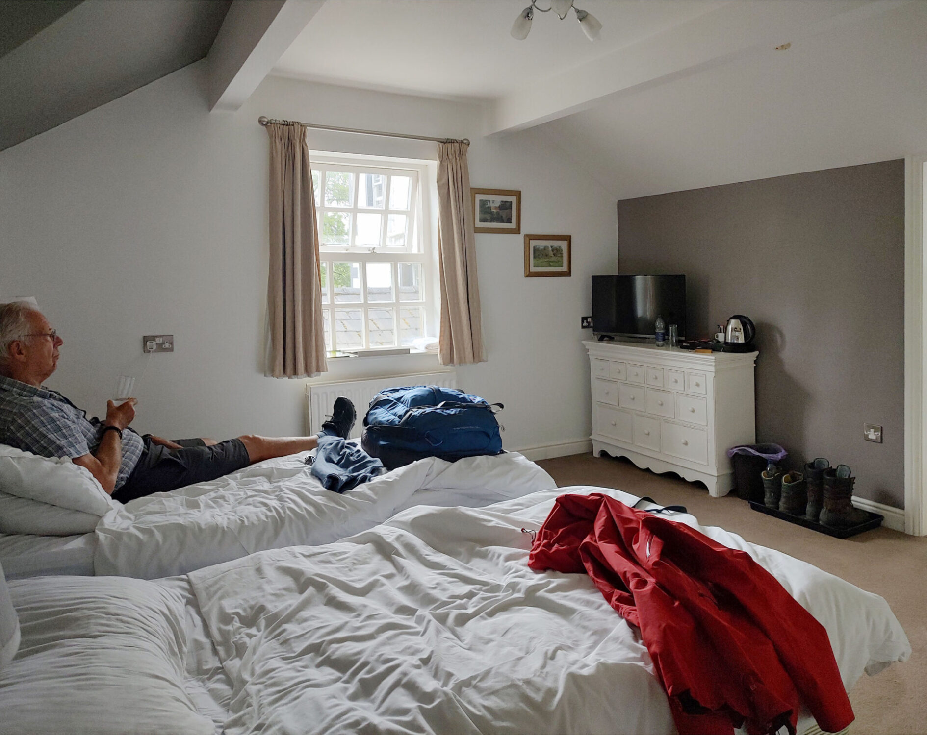
The New Inn looks like a traditional old village inn from outside but it was very modern and clean inside, including the bar, restaurant and rooms. Lots of people were sitting outside until an electrical storm rolled in and drove everyone except a dedicated smoker indoors. Staff had to go outside and drag the errant smoker inside as lightning was flashing every few seconds and he was standing under a garden umbrella beside a tree – not the best tactic to use!
Camera
I used a Panasonic TZ100 compact zoom and my Motorola mobile phone.
The Panasonic camera was used for most of the shots outdoors when it wasn’t raining. In the rain I used my mobile phone in a waterproof case with a clear panel for the lens to shoot through. Indoors I used the phone camera.
I must admit I didn’t like using the Panasonic as it didn’t always do what I thought it should. It seemed to have a mind of its own, and the colours, especially greens, were rather more vibrant than I would have liked! So much so that, this trip was in June and in September I part-exchanged it for a decent digital camera that I could set up exactly as I wanted it – a Fuji X-E5 with a 22mm wide angle lens, not a zoom, and it’s still small enough to go in my jacket pocket.
As far as editing the photos goes, I cropped most images to reduce unwanted sky and foreground and adjusted the brightness and contrast a small amount using the Curves function in Photoshop. Apart from that everything is exactly as I saw it.
Equipment
Satmap Active 20 GPS with the pre-programmed route that I created.
Outside 40 litre rucksack, made by POD of Sheffield in the 1990’s so very well made and weighing just 1kg. It’s very slim too with no side pockets to get caught on shrubs or stiles on narrow paths and compression straps to reduce the size further. I bought it to use for ski mountaineering where every gram saved is a huge bonus but it’s great for treks too. On this trek I was carrying about 8kg including 2 litres of water each day.
Meindl Dovre Extreme GTX boots. I have a problem with Achilles Tendonitis with short boots but these are 10 inches high and don’t aggravate my Achilles at all.
Mountain Equipment Drilite Alpine Gaiters on dry days – mainly to keep my trousers below the knee dry and mud-free as I don’t have any spare walking trousers!
Rab Gore Tex jacket
Sprayway Gore Tex Paclite waterproof trousers
Rab Zawn Hoody thin thermal jacket – worn most days
Patagonia Nano Puff gilet – worn a lot as it’s warm and windproof
Mountain Equipment Ibex trousers – my ‘go to’ walking trousers for all but winter and hot weather, which is most of the time in the UK!
Patagonia Micro Puff Hoody jacket as my emergency jacket, it’s very warm but light. Mostly it stayed in the bottom of my rucksack
Odlo and Mountain Equipment T-shirts, Rab Pulse thin zip-polo’s. I like to wear several thin layers of clothing rather than fewer very warm layers like fleece. I often wear thin long johns under my trousers on cooler dry days too.
Harveys Pennine Way waterproof map
OS maps in rucksack – not used but just in case we needed to divert off the Harveys strip map
Suunto compass, just in case everything electronic fails!
Leki Makalu carbon fibre trekking poles – essential because of my bad back
Baseball cap, warm hat
Windproof gloves and liner gloves
Buff thin neck warmer folded in two.
Platypus 2 litre water bottle and drinking pipe, plus High 5 Zero electrolyte tablets
You might also like
 Get some free printing and developing tips, tutorials and information from the expert over at Darkroom Dave!