This blog post, the 3rd and final in a trilogy, continues my trek with good friend Al from Gloucester. We are walking the Pennine Way north to south so Part 1 was 89 miles in 6 days from Kirk Yetholm to Alston, see previous post. Part 2 was 97 miles in 7 days from Alston to Horton-in-Ribblesdale. This post covers the 95 miles in 7 days section from Horton-in-Ribblesdale to Edale.
Travel Day
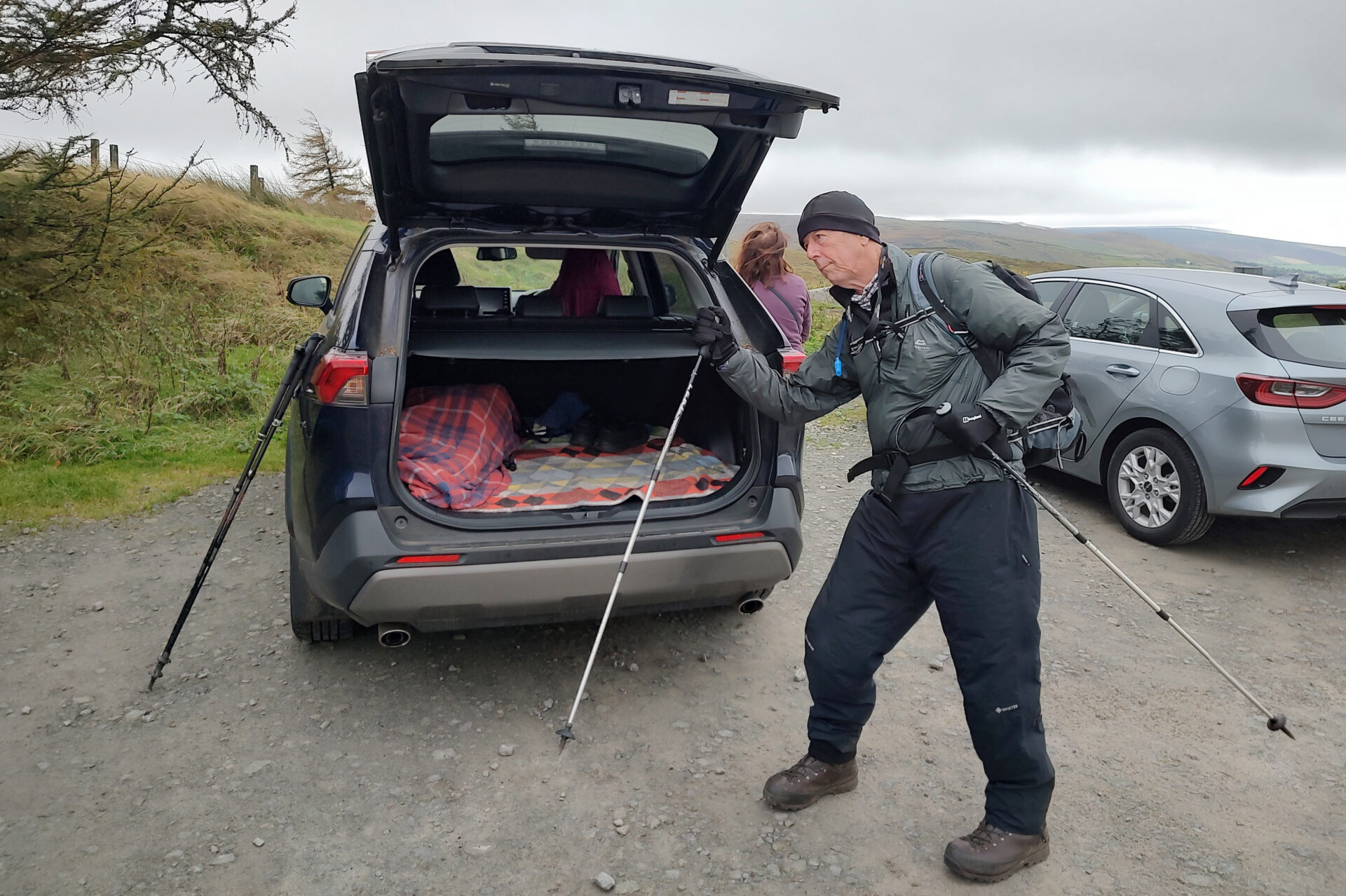
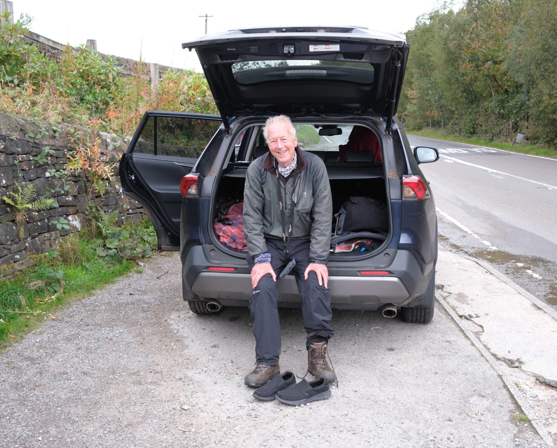
In August 2025 Al drove up from his home near Gloucester to stay with us overnight.
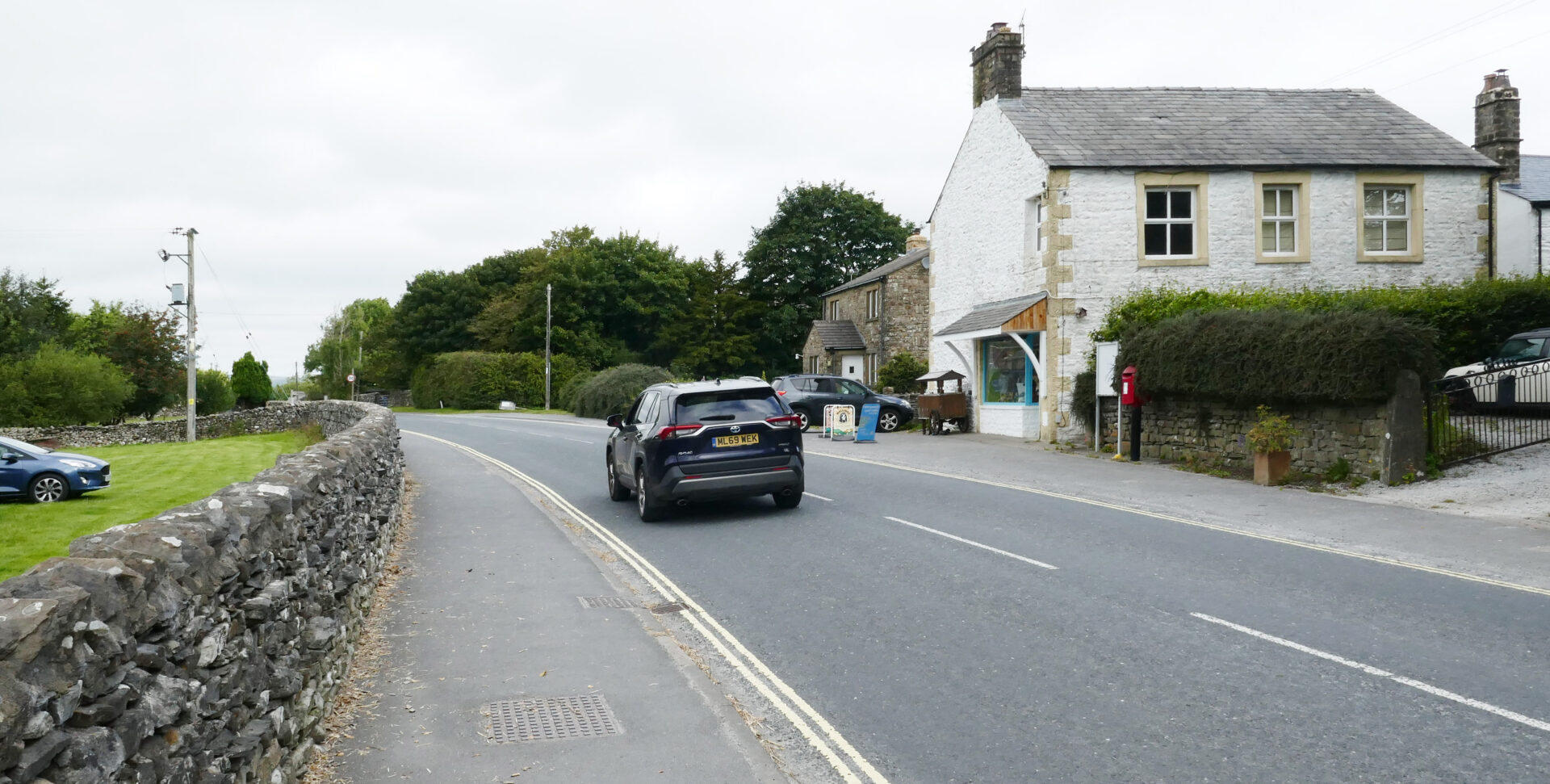
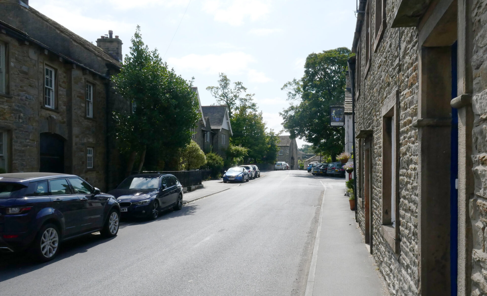
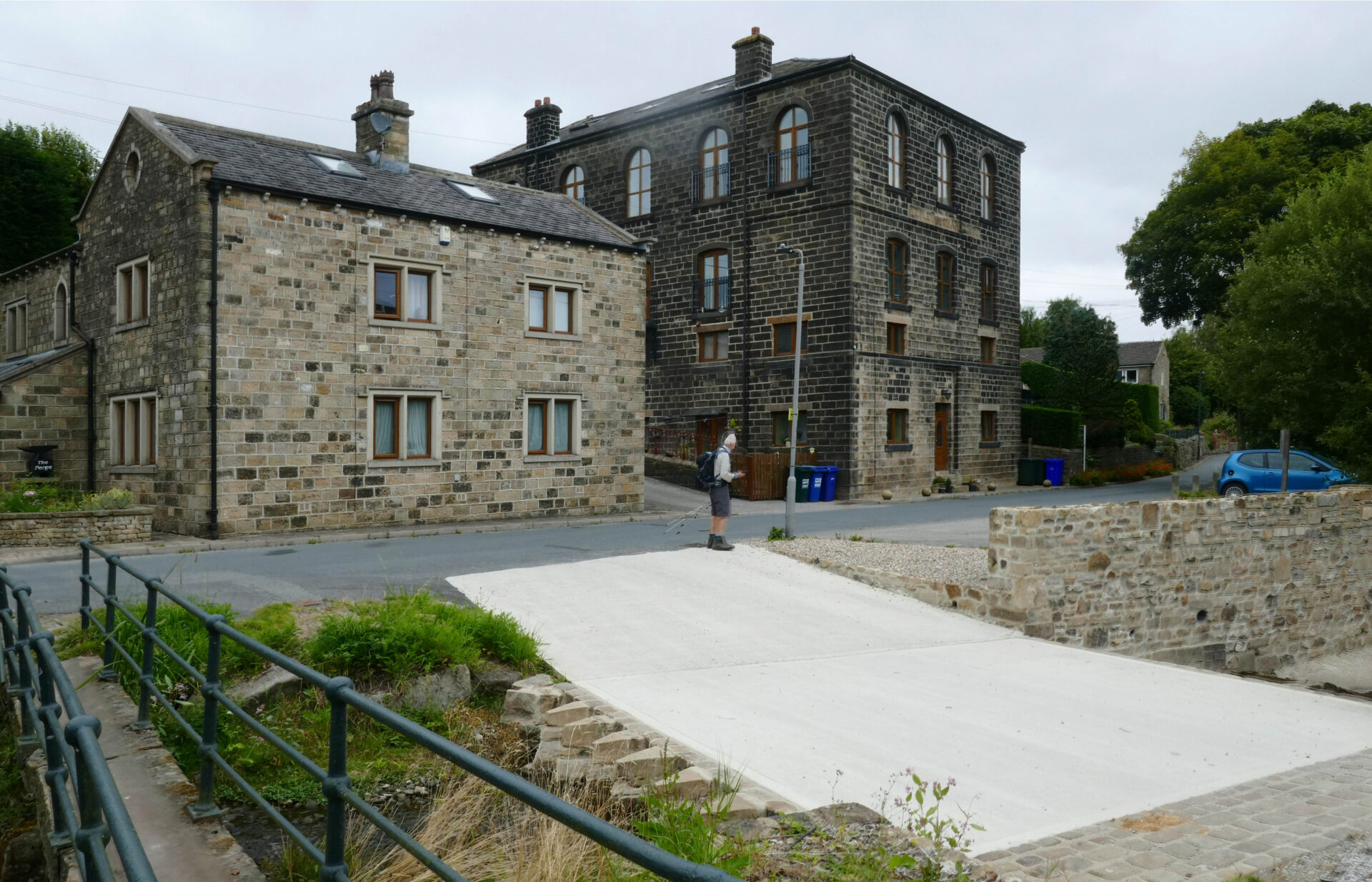
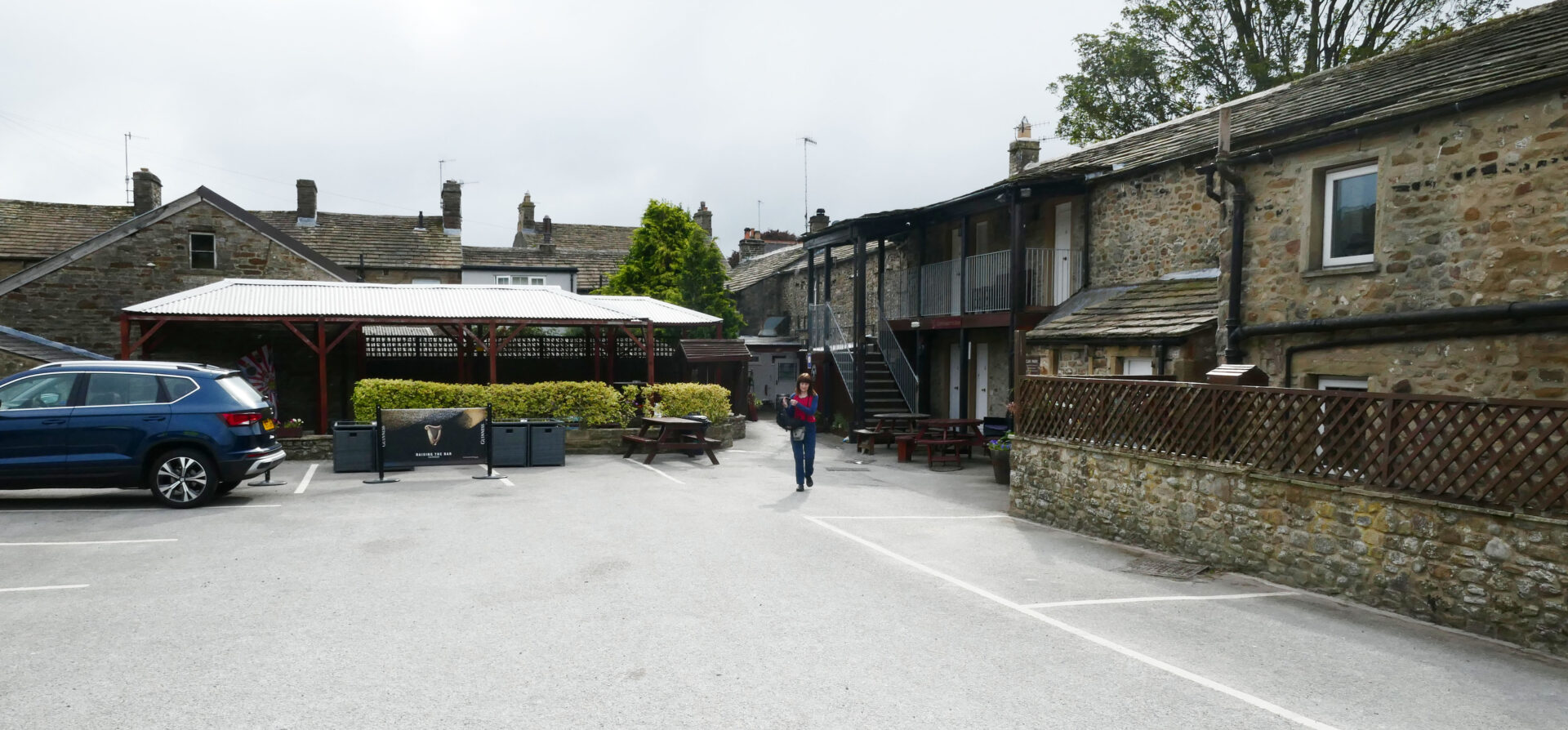
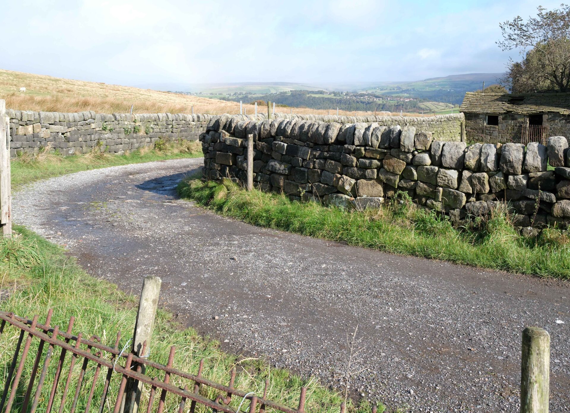
After a leisurely breakfast Jan drove us up from Home to Gargrave. We were staying in the Masons Arms just on the edge of the village in very nice rooms. We used it as our base for the next 4 days of the trek from Horton-in-Ribblesdale to Hebden Bridge.
Day 14 Horton-in-Ribblesdale to Malham 15.2 miles 6h 45m
Weather: dry with sunny spells, warm out of the wind.
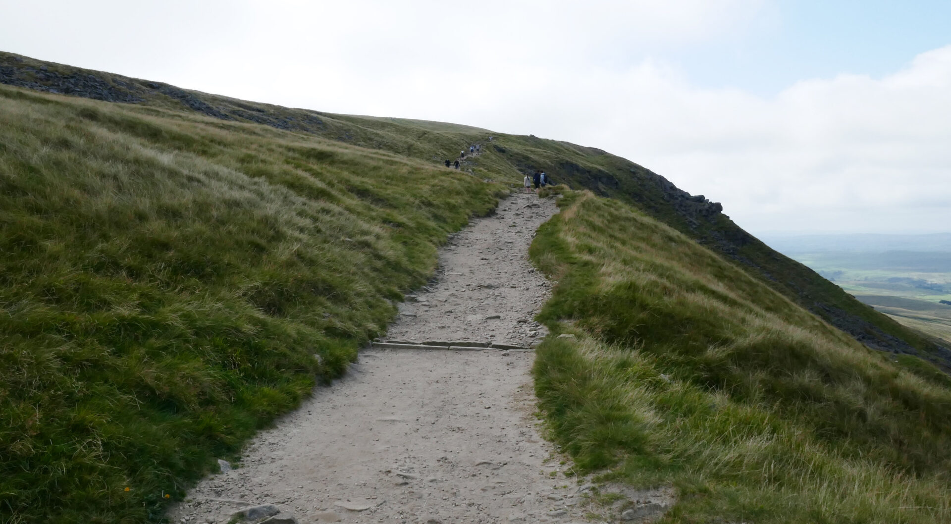
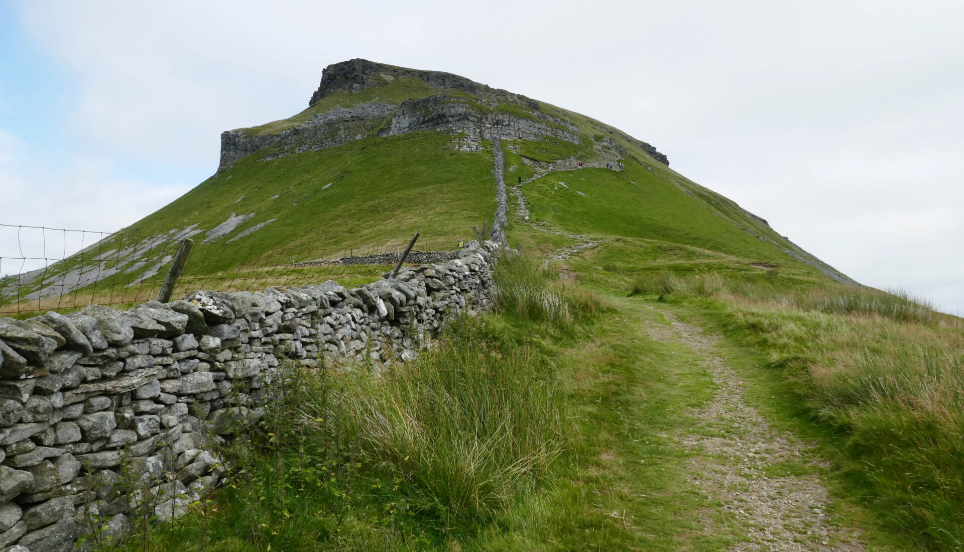
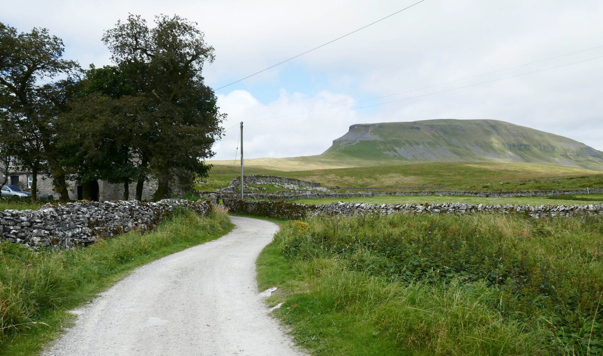
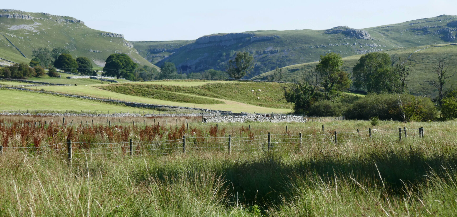
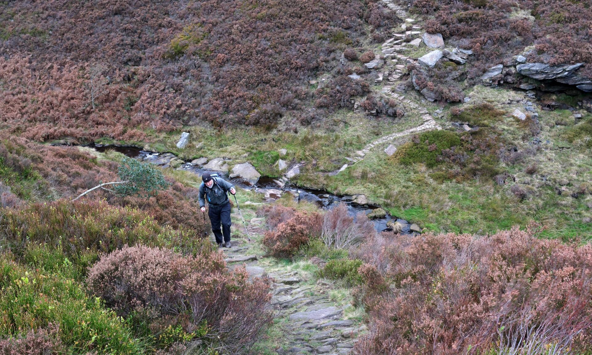
Jan drove us to Horton-in-Ribblesdale where we were dropped off at the entrance to the campsite where Al had parked his car last time. At 10.23am we resumed walking the Pennine Way. Within an hour we were well on our way up to the summit of Pen-y-Ghent (694m/2,277ft), reaching it at about 11.45am. There were good views at the top and quite a few other people. We just stopped long enough to take a few photos before starting down again.
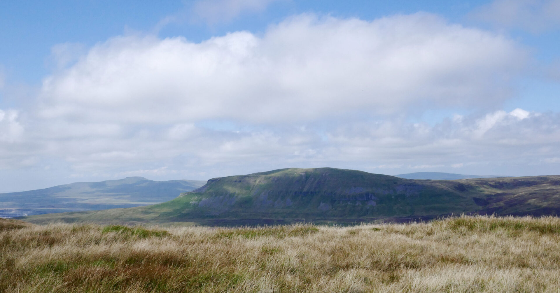
We reached Dale Head Farm at 12.30pm and then made our way along a minor road towards the track up Fountains Fell. By the time we reached the top we had blue skies with white fluffy clouds, a bit of contrast to the last time I was here backpacking the Pennine Way in 1974 in thick cloud with no views at all!
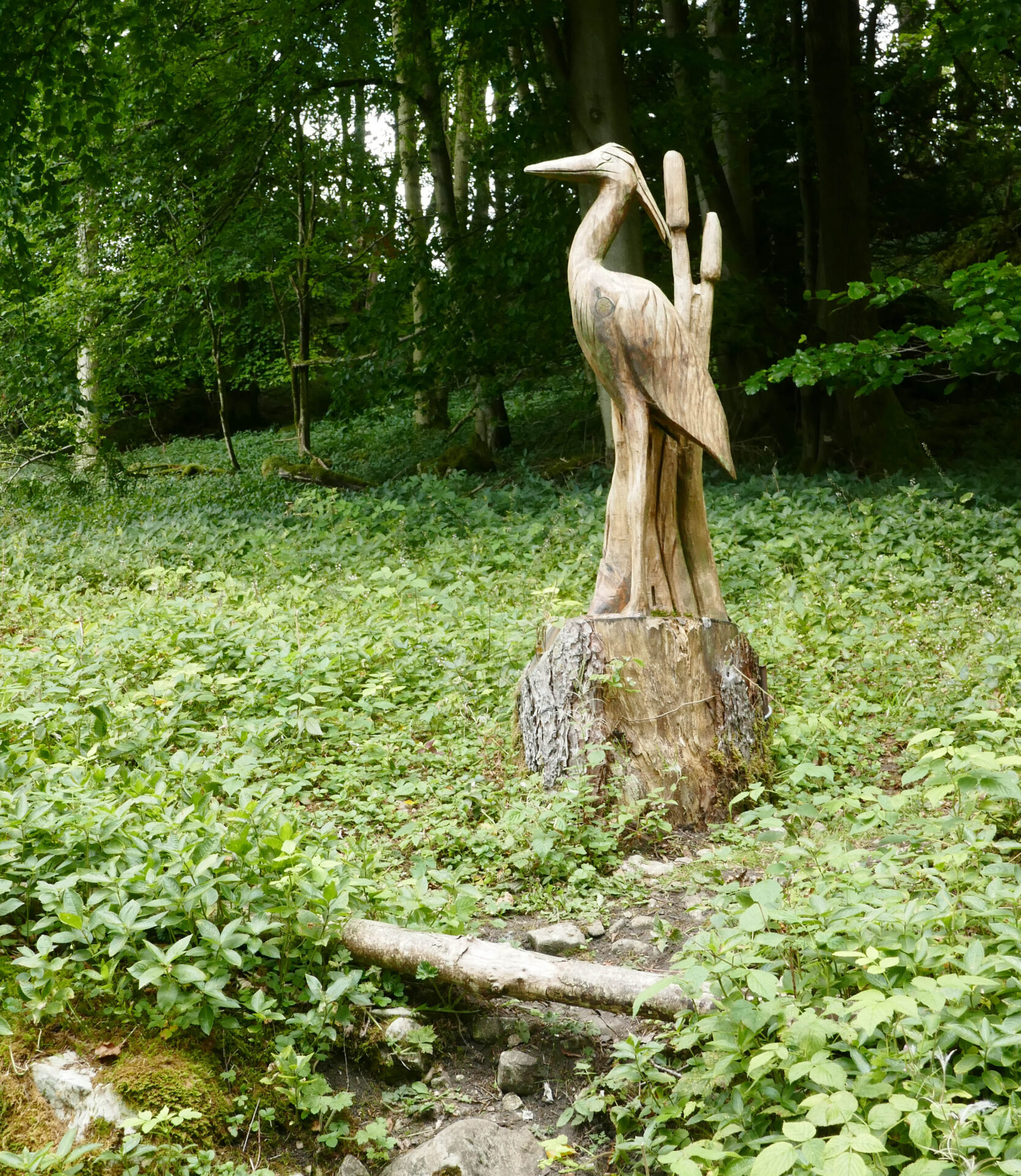
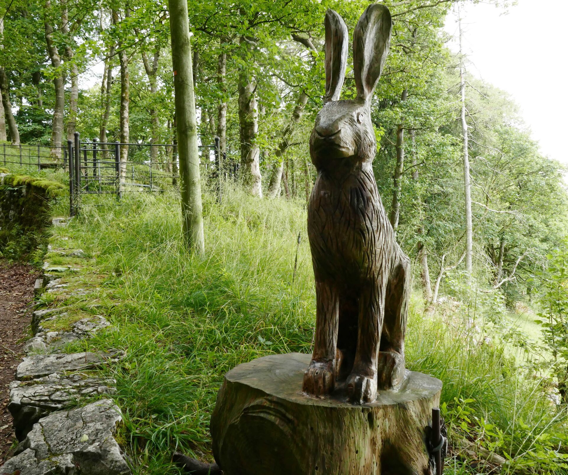
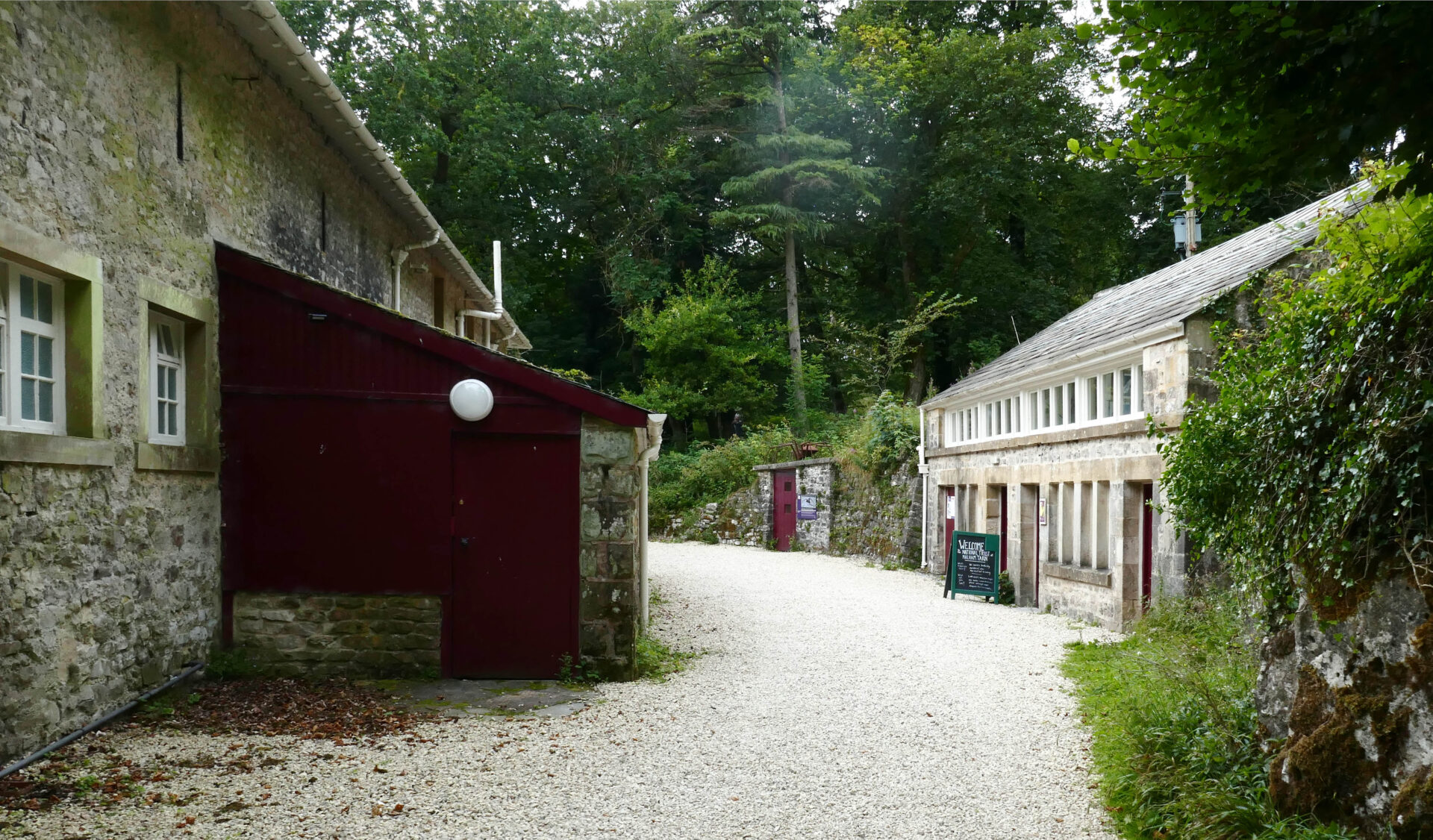
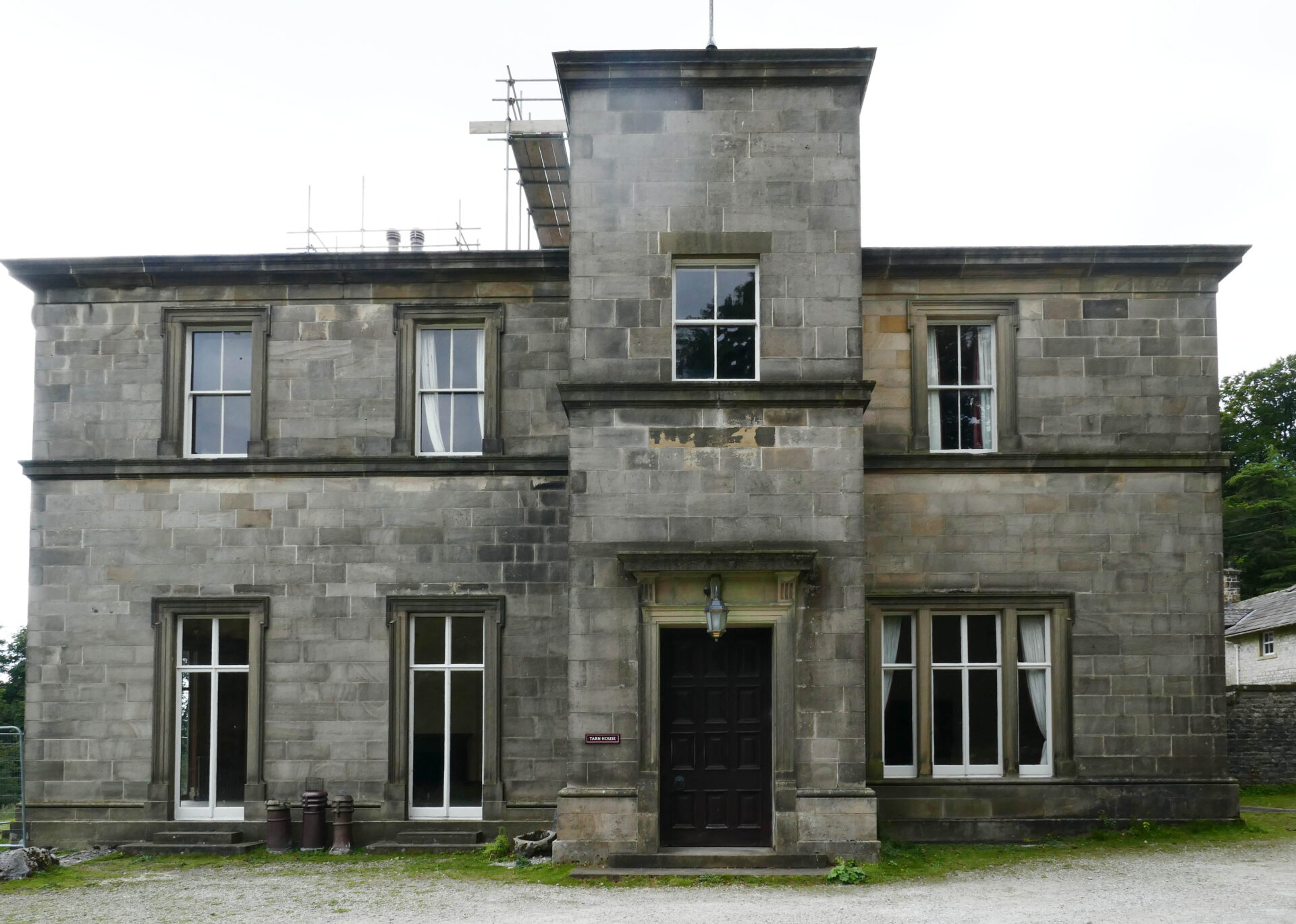
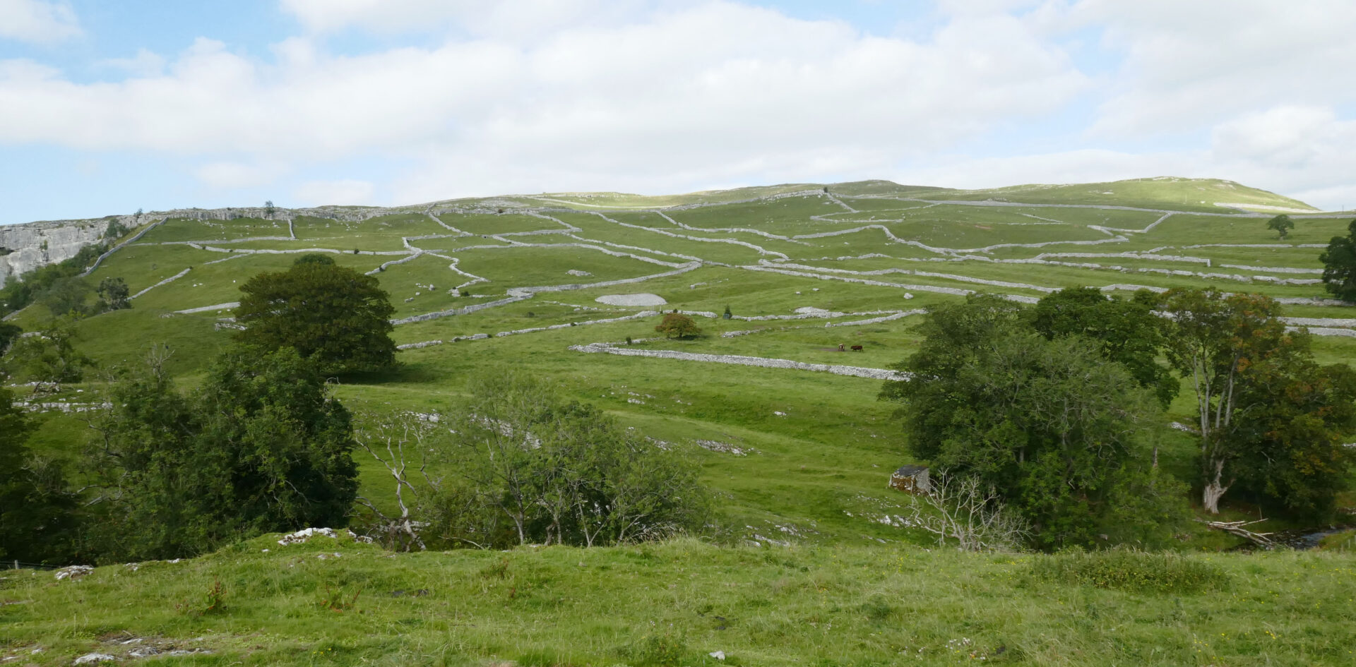
By 3.15pm we were nearing Malham Tarn and joined a tarmac road past some wooden sculptures to Malham Tarn House at 3.35pm. It wasn’t looking as grand as I remembered it from previous visits but maybe this was just ‘rose tinted glasses’!
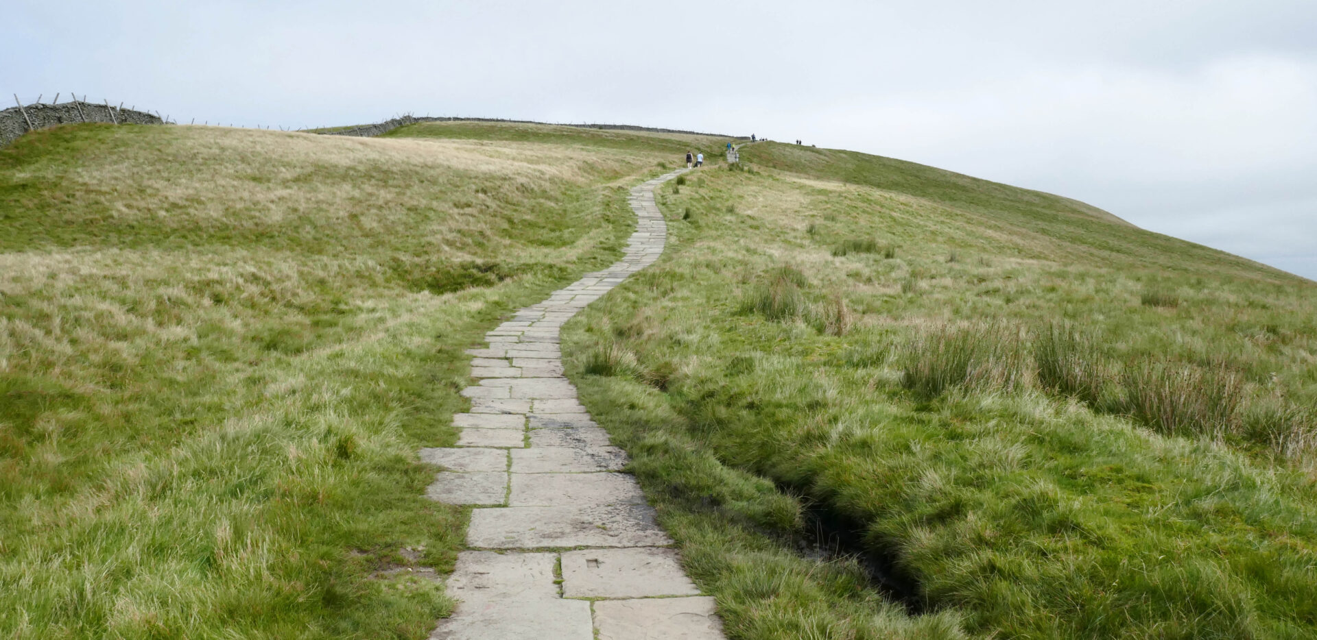
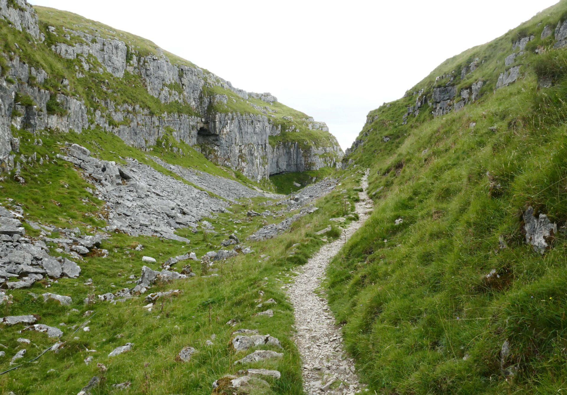
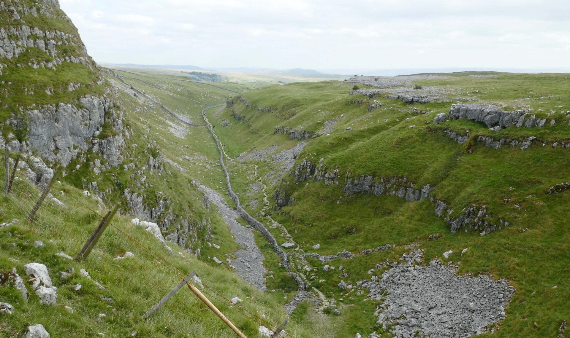
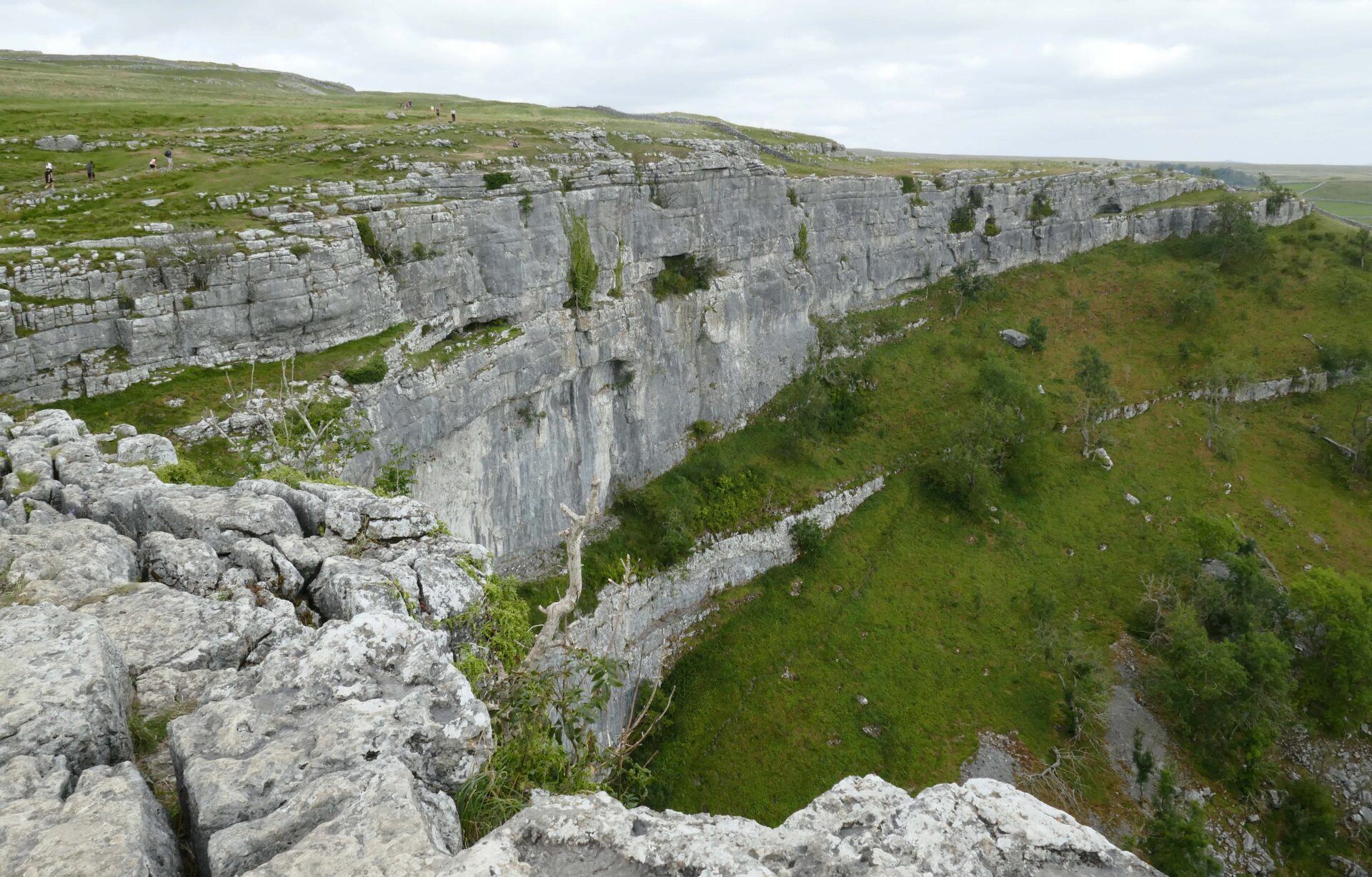
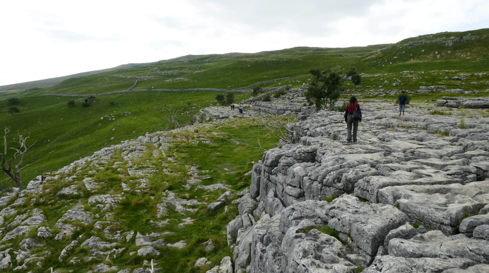
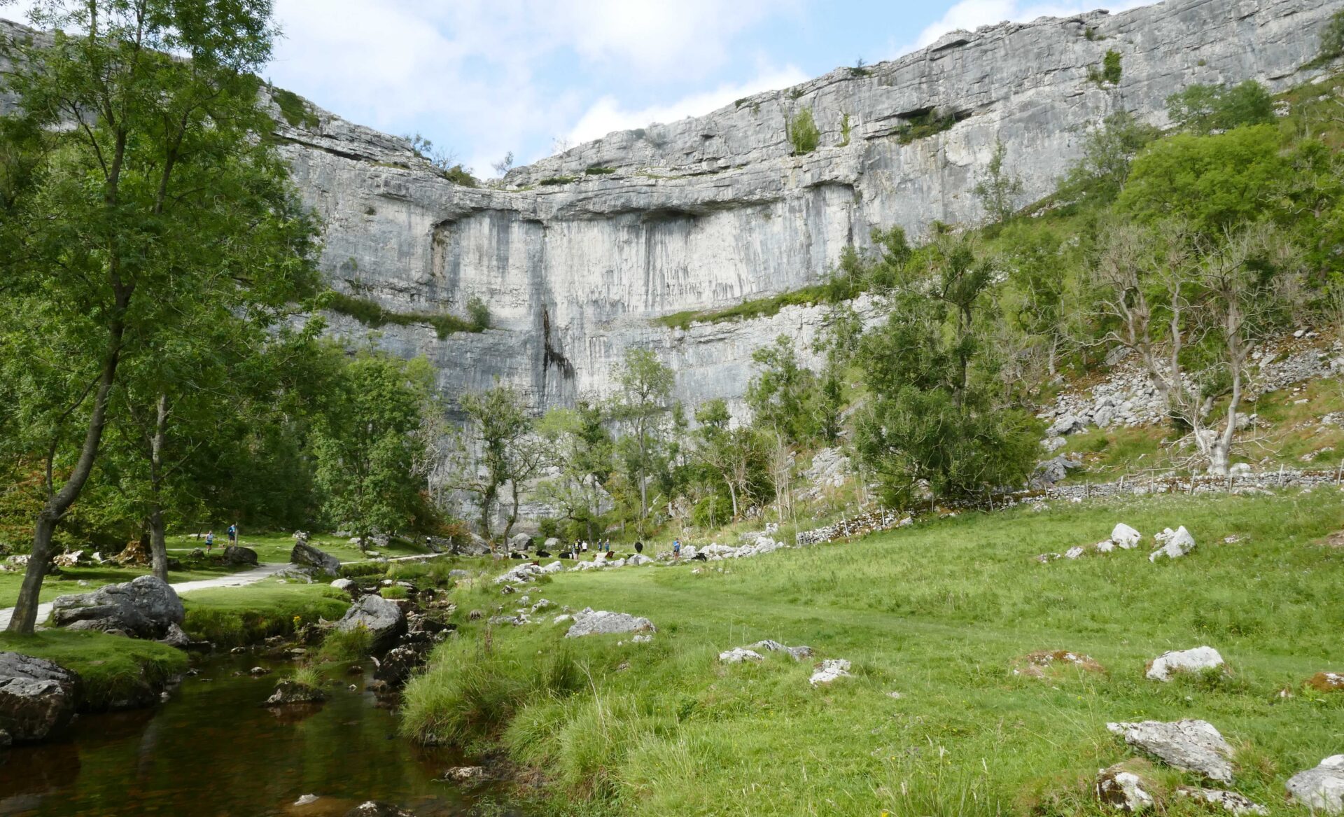
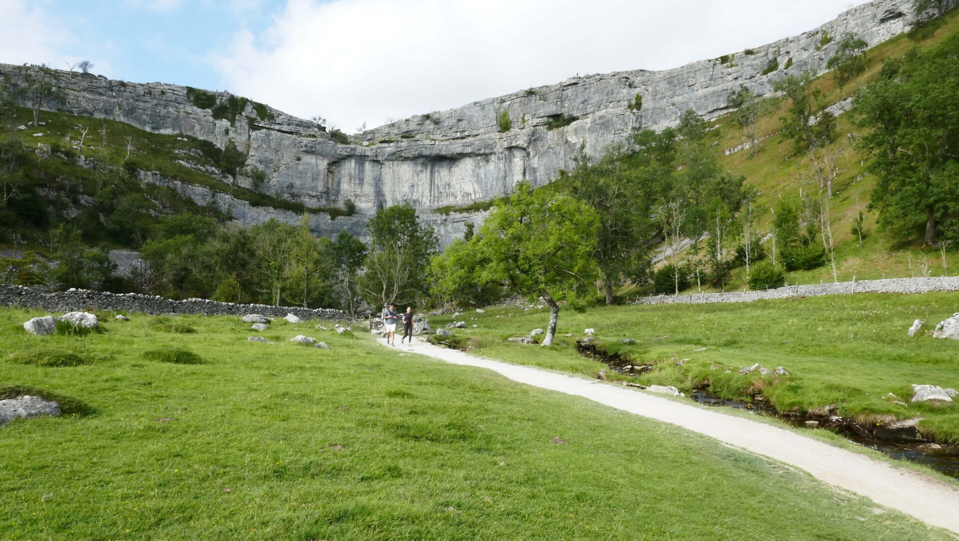
After the tarn we started down Watlowes dry valley leading to Malham Cove limestone pavement. It was a bit grey while we were on top of the cove, which was very busy, but the sun broke through again as we reached the valley floor a bit before 5pm.
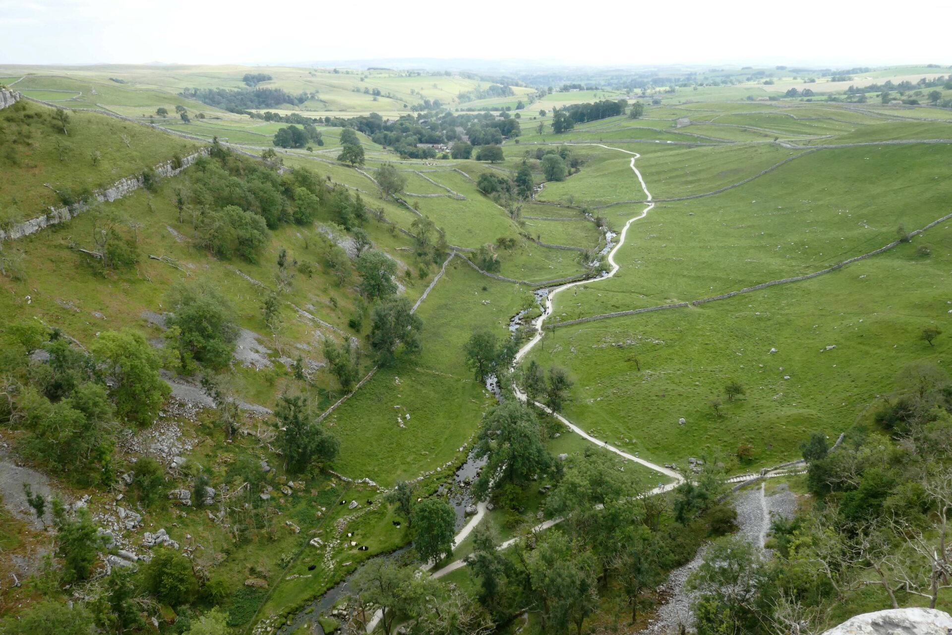
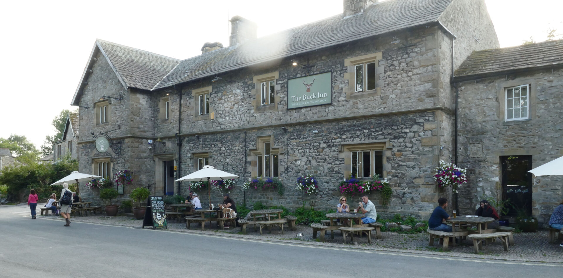
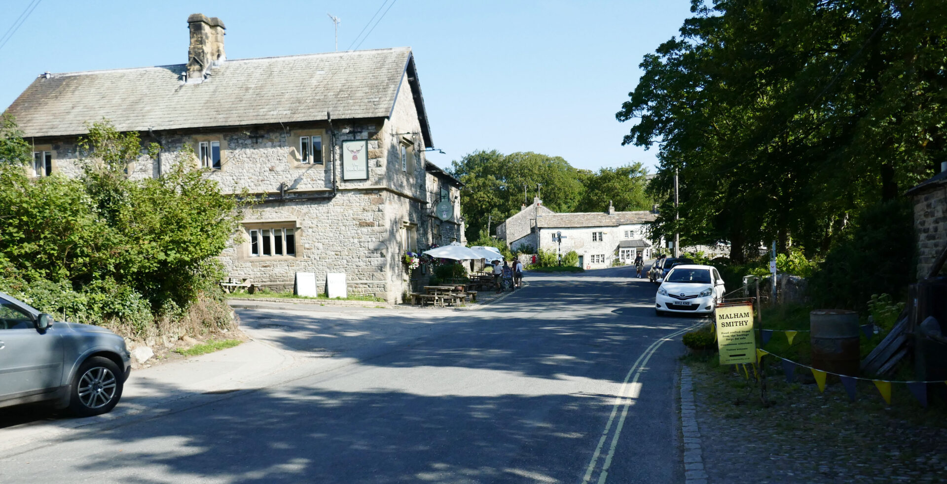
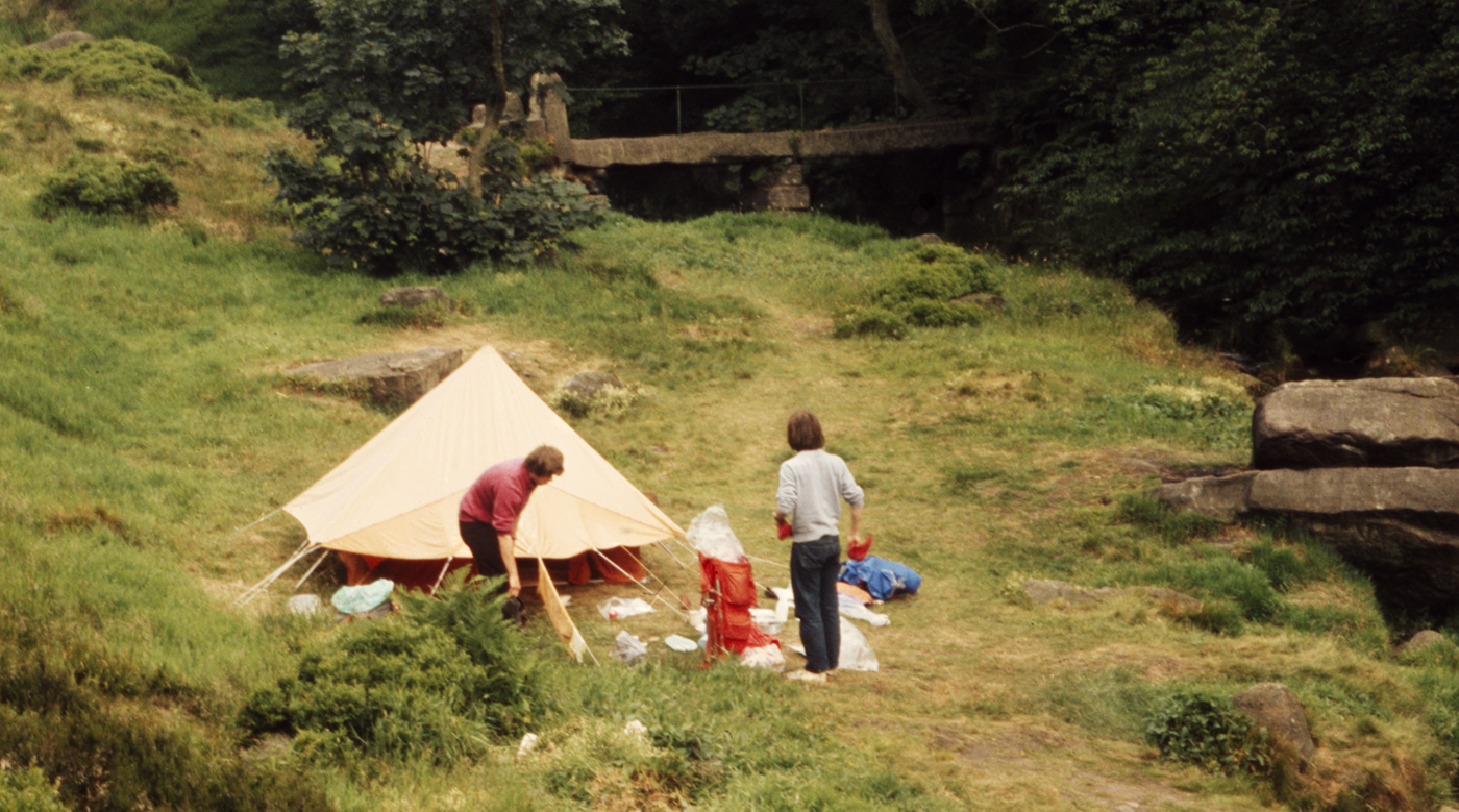
We finished by meeting Jan who was walking towards the cove to meet us and walk back the last little bit. We celebrated with a pint in the Buck Inn, an old haunt from the 1970’s when all 3 of us worked for Unilever Research at the Frythe in Welwyn, Hertfordshire – we camped at the farm in Gordale Scar. Finally we ended the day with the short walk to the car park.
Overall, it was 15 miles so a reasonably long day for us with just over 3000ft/914m of ascent over the 2 hills in 7 hours.
Day 15 Malham to Thornton in Craven 11 miles 4h 43m
Weather: sunny and warm all day.
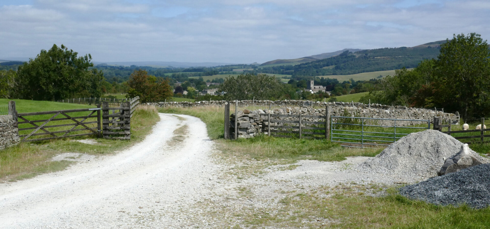
Jan drove us the few miles from Gargrave back to Malham so that we could resume our trek at 10am.
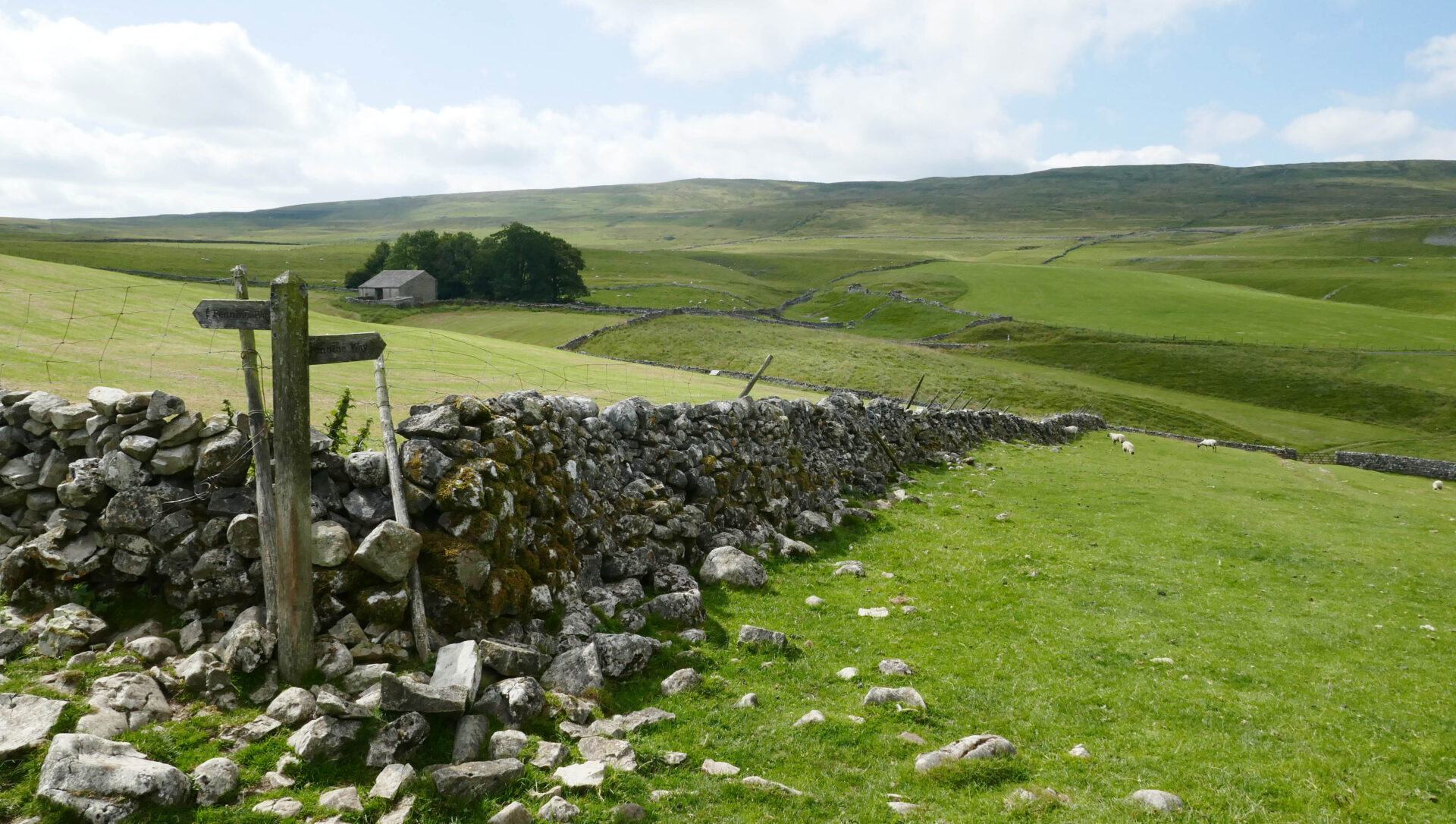
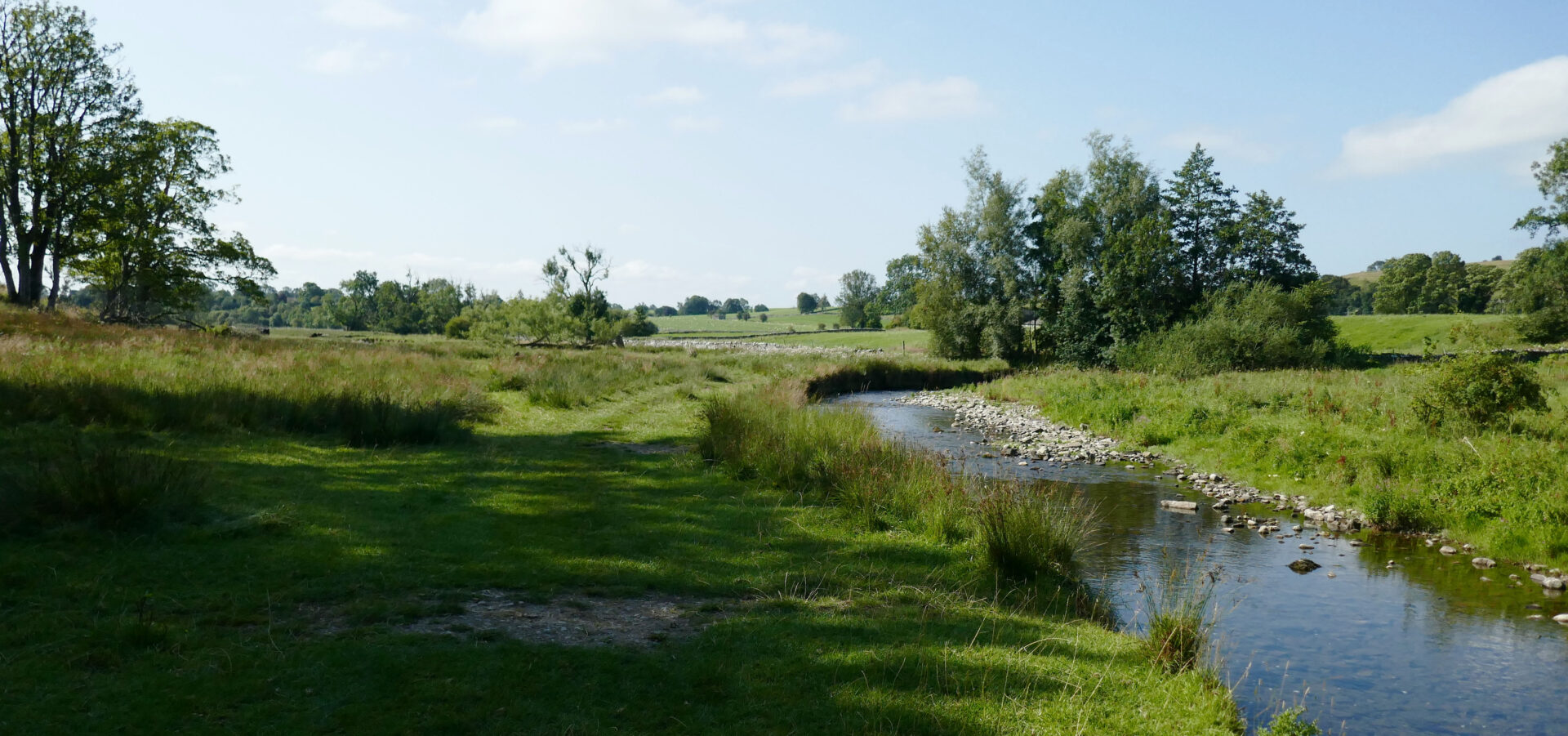
Most of the morning was spent walking across fields and alongside the river Aire then over Eshton Moor to Gargrave.
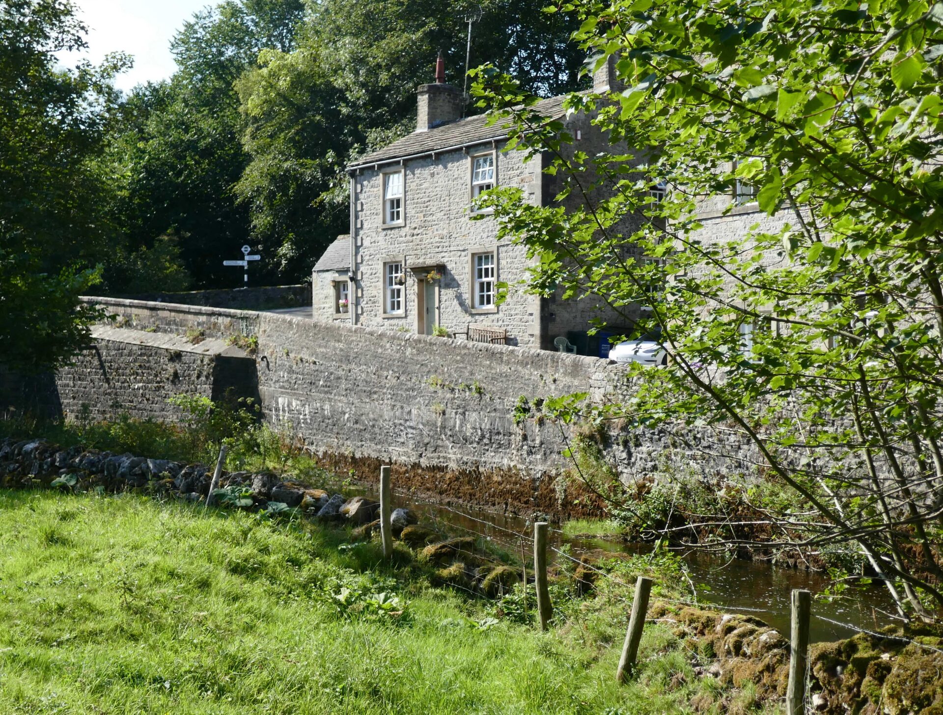
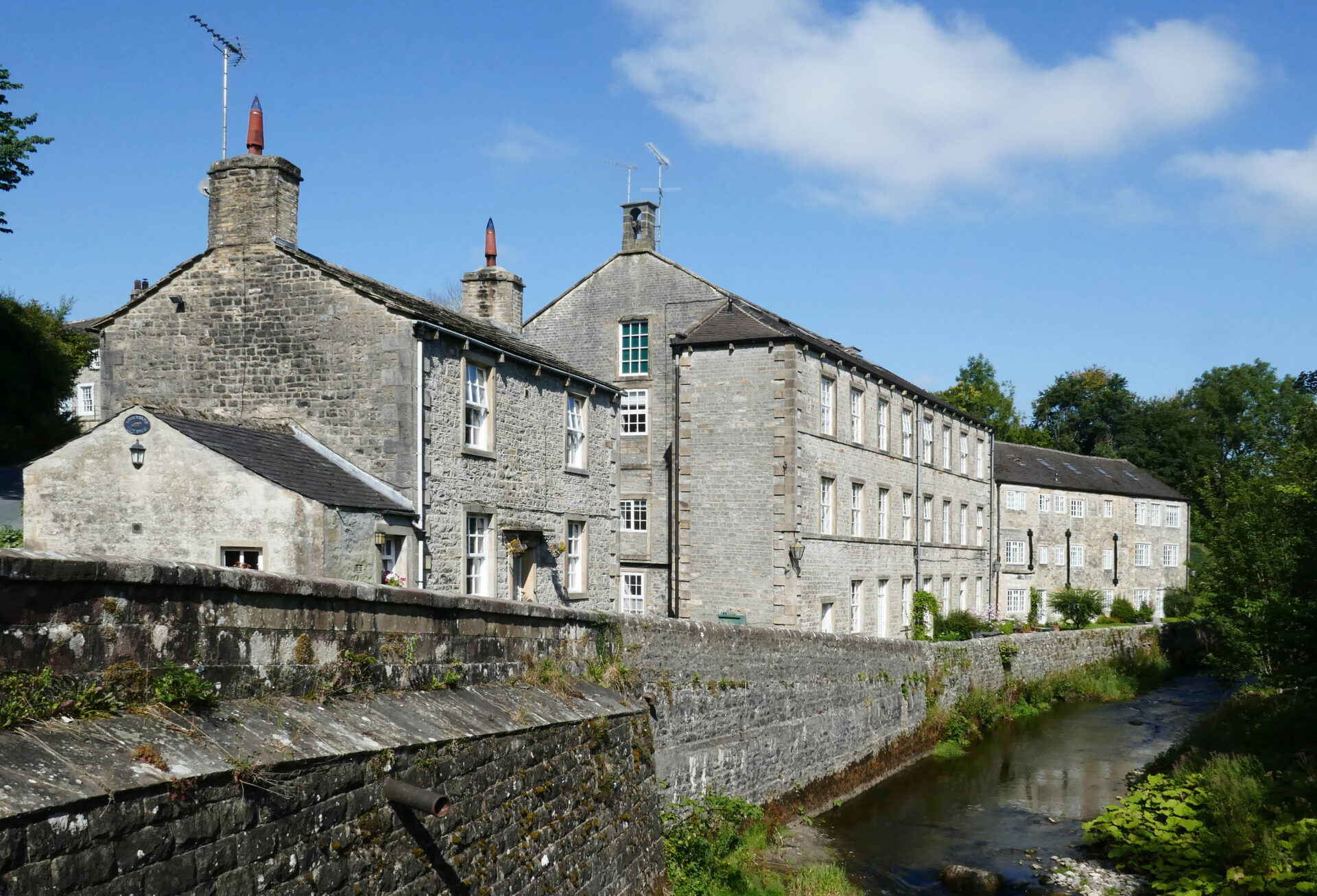
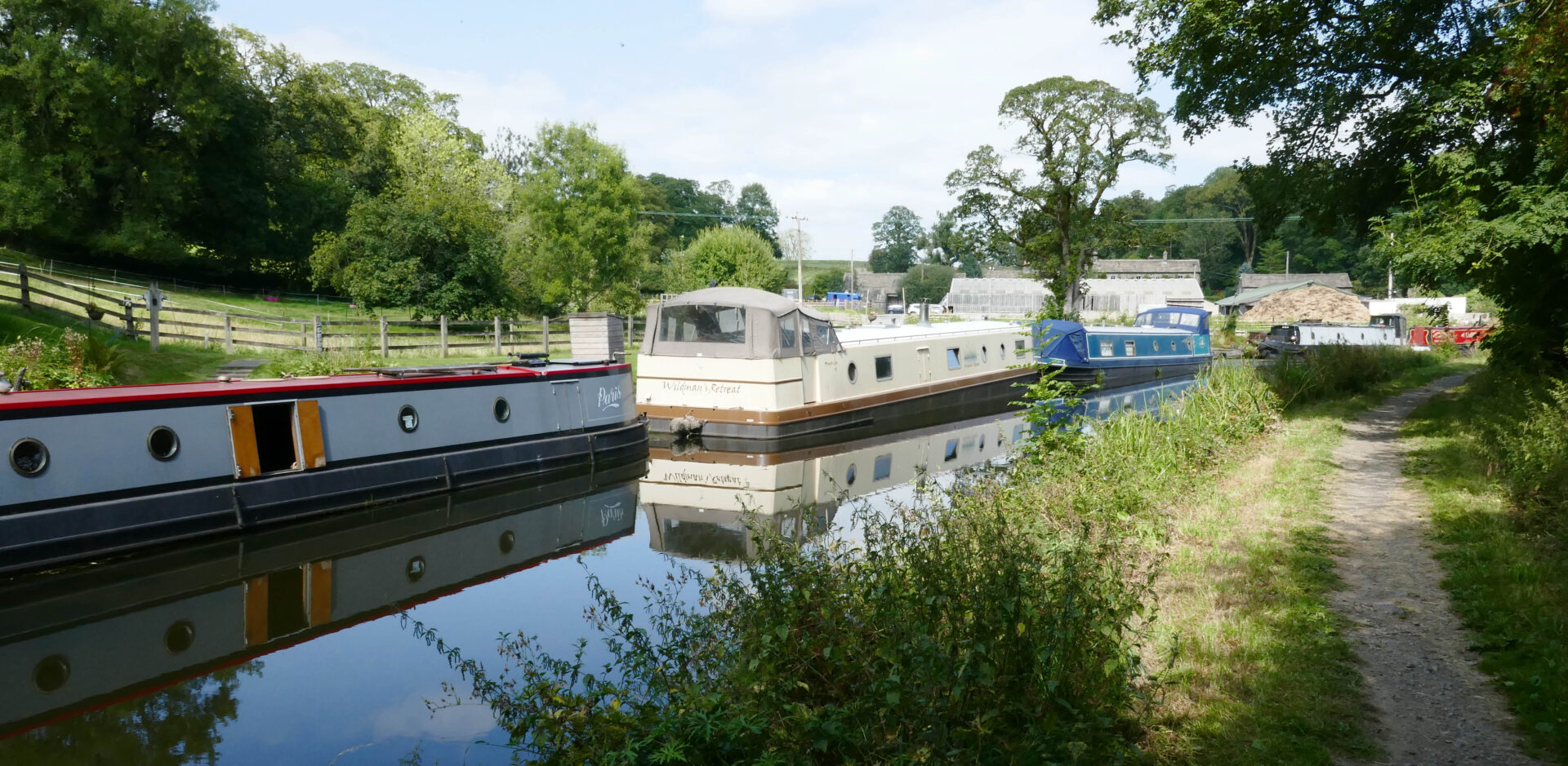
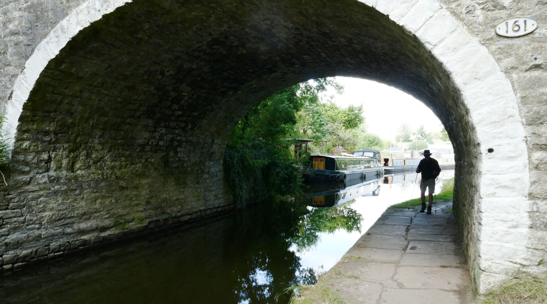
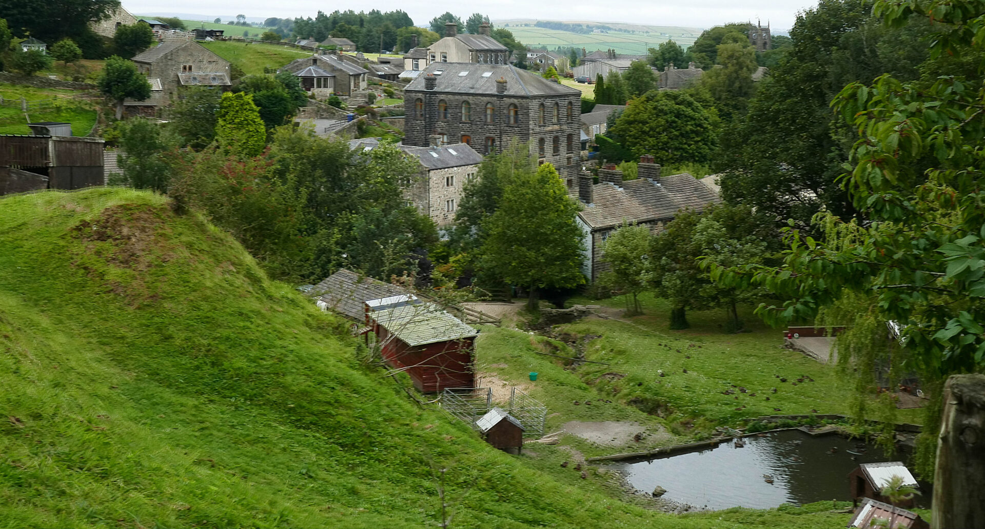
On walking into Gargrave we crossed the canal and walked into the centre of the village, crossed the busy road and the bridge over the River Aire and soon found ourselves outside the Masons Arms – the place where we were staying for 4 nights. It was 12.25pm and it seemed churlish to walk straight by so we went in for a lunchtime pint. We sat outside in the sunshine at one of their tables opposite the pub front door.
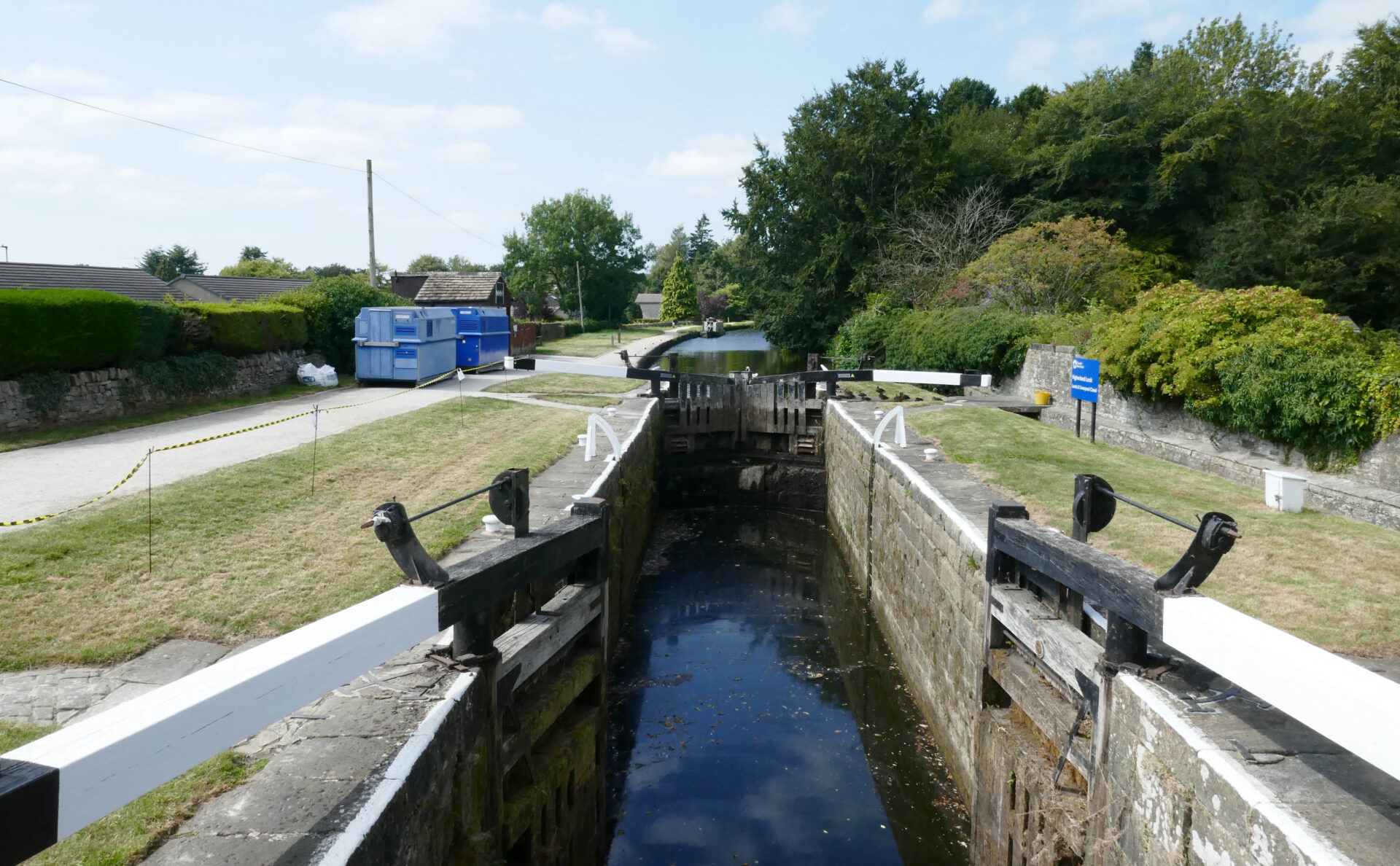
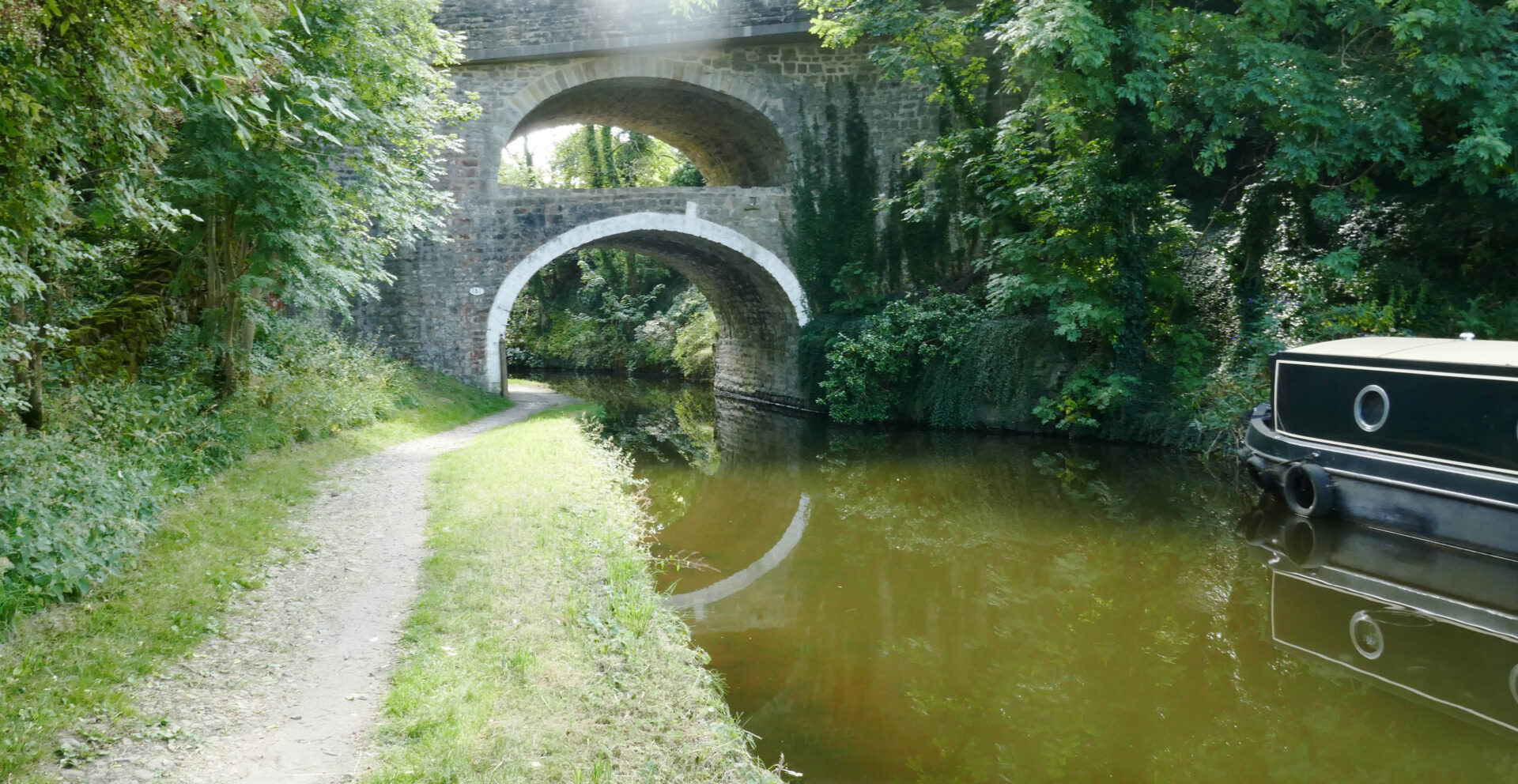
After our short break we were off round the back of the old school and up a small hill and on to East Marton and the canal again. The double arched bridge was very impressive. It wasn’t far from here to our pick up point in Thornton-in-Craven, which we reached at 2.40pm.
It was quite a short easy day being just 4h 43m, including our lunch stop in Gargrave, but we’d covered 11 miles with an average walking speed just under 3 mph, which isn’t too shabby these days.
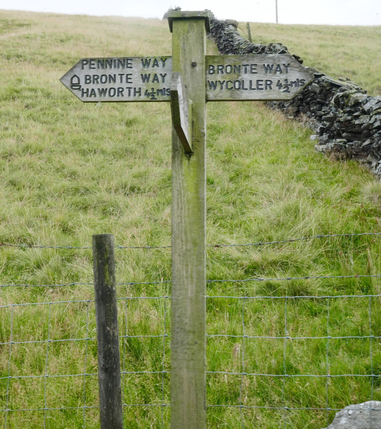
Day 16 Thornton in Craven to Stanbury 13 miles 7h
Weather: Dull all day and cooler than yesterday so we wore windproofs all day.
Jan drove us to Thornton-in-Craven where we started walking from yesterday’s drop-off at 10.05am.
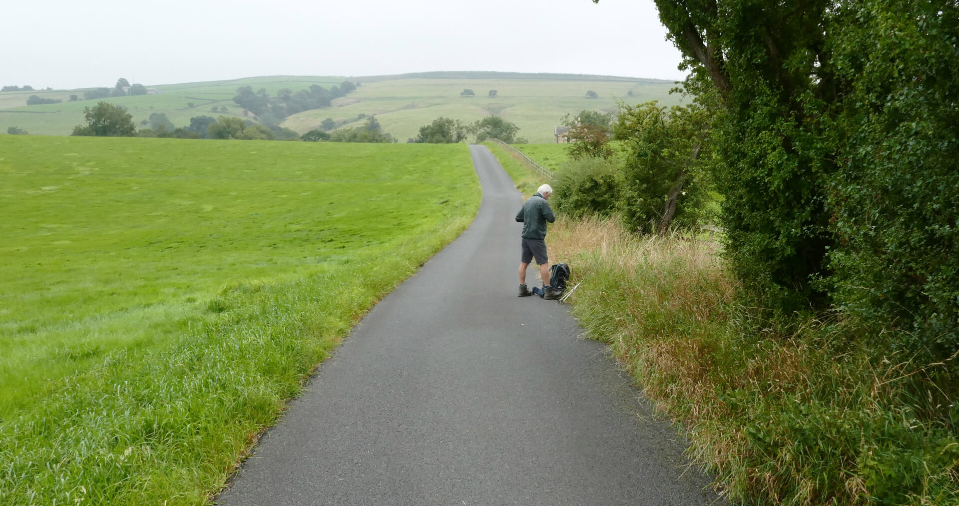
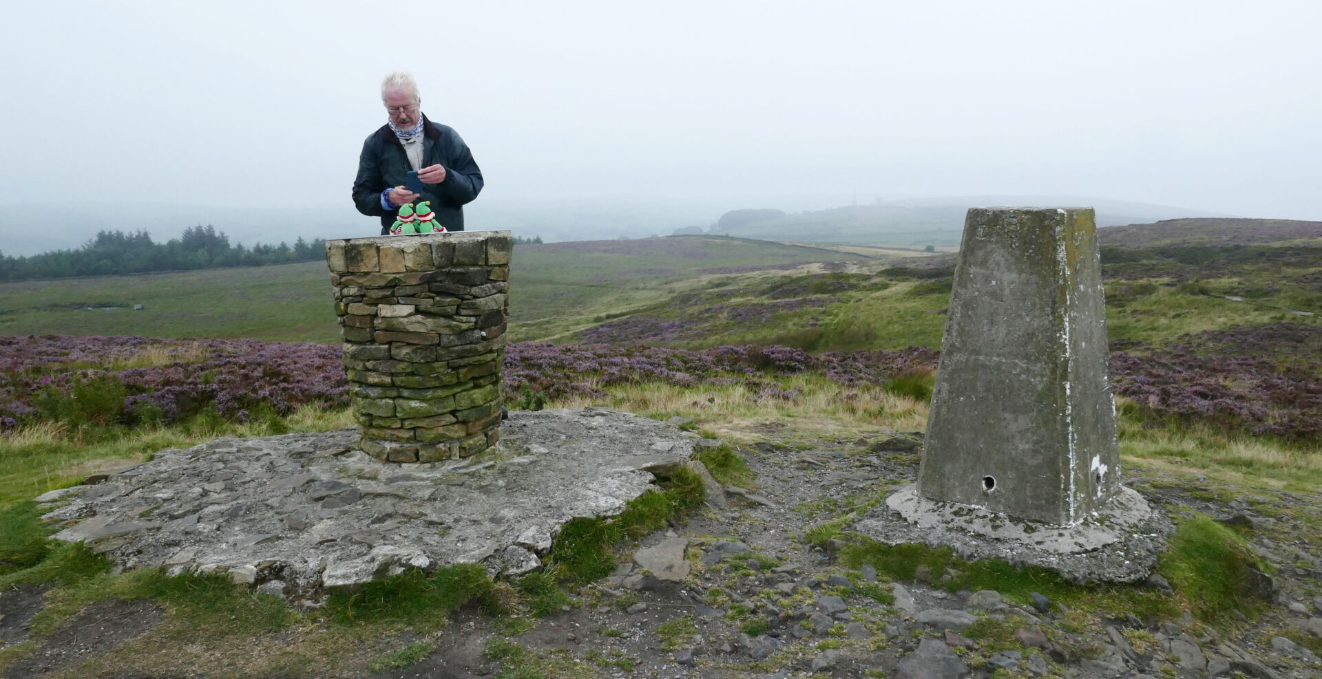
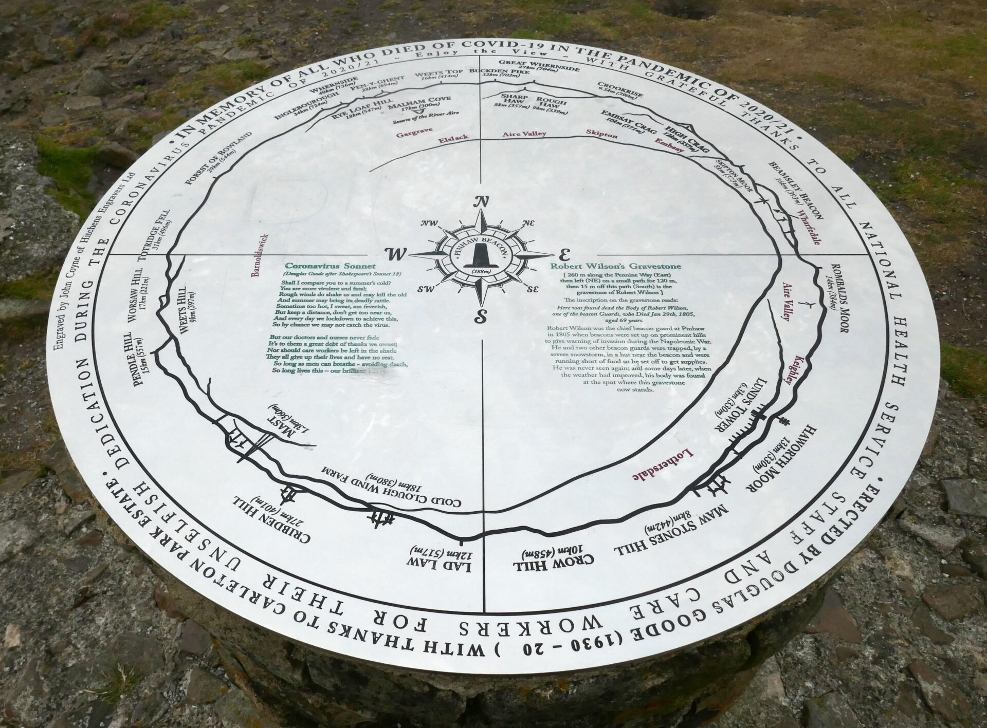
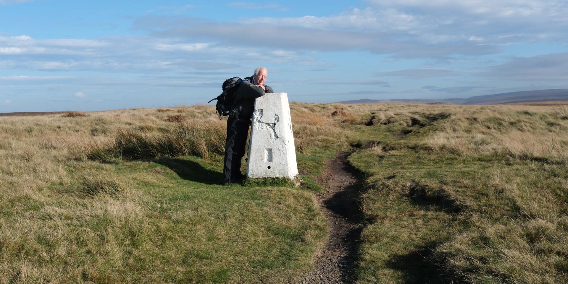
We started off down the old road but were soon onto a farm track and then climbing uphill and across to join a small country road called Clogger Lane. There was more uphill after this, but on tarmac, to a good track which took us to Pinhaw trig point at 11.15am. This was a bit under 3 miles from Thornton.
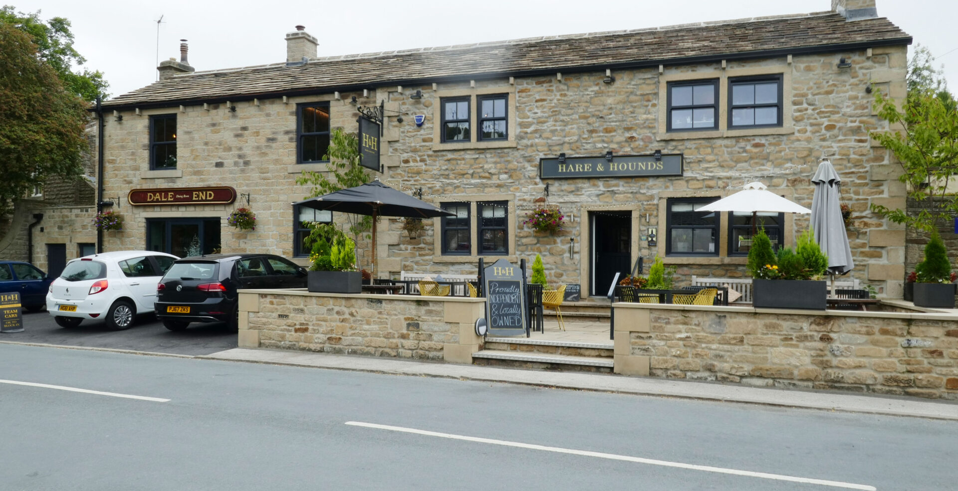
A long gradual descent over fields and moors followed until we came into Lothersdale at 11.45am. As luck would have it the Hare and Hounds pub door was open so we ventured inside. We were welcomed but the landlord wasn’t able to serve us drinks until 12pm so we made ourselves comfy and waited. There were also 2 other Pennine Wayfarers already inside, also waiting for opening time.
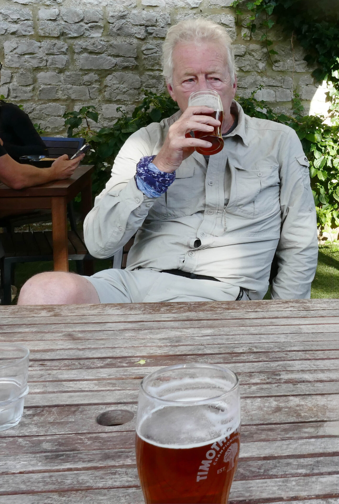
After a couple of pints of Timothy Taylor Landlord and a bag of crisps each we continued on our way at 1pm.
From Lothersdale we headed uphill again, over rolling countryside, then we came down into Ickornshaw at 2.10pm. It was all very quiet here with no traffic and no people around as we wandered through.
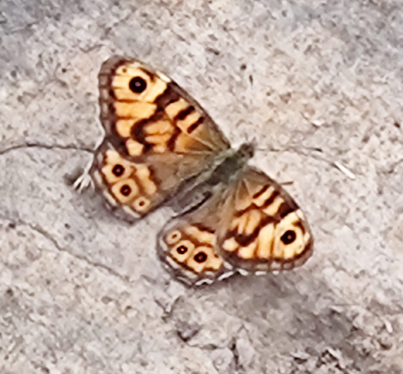
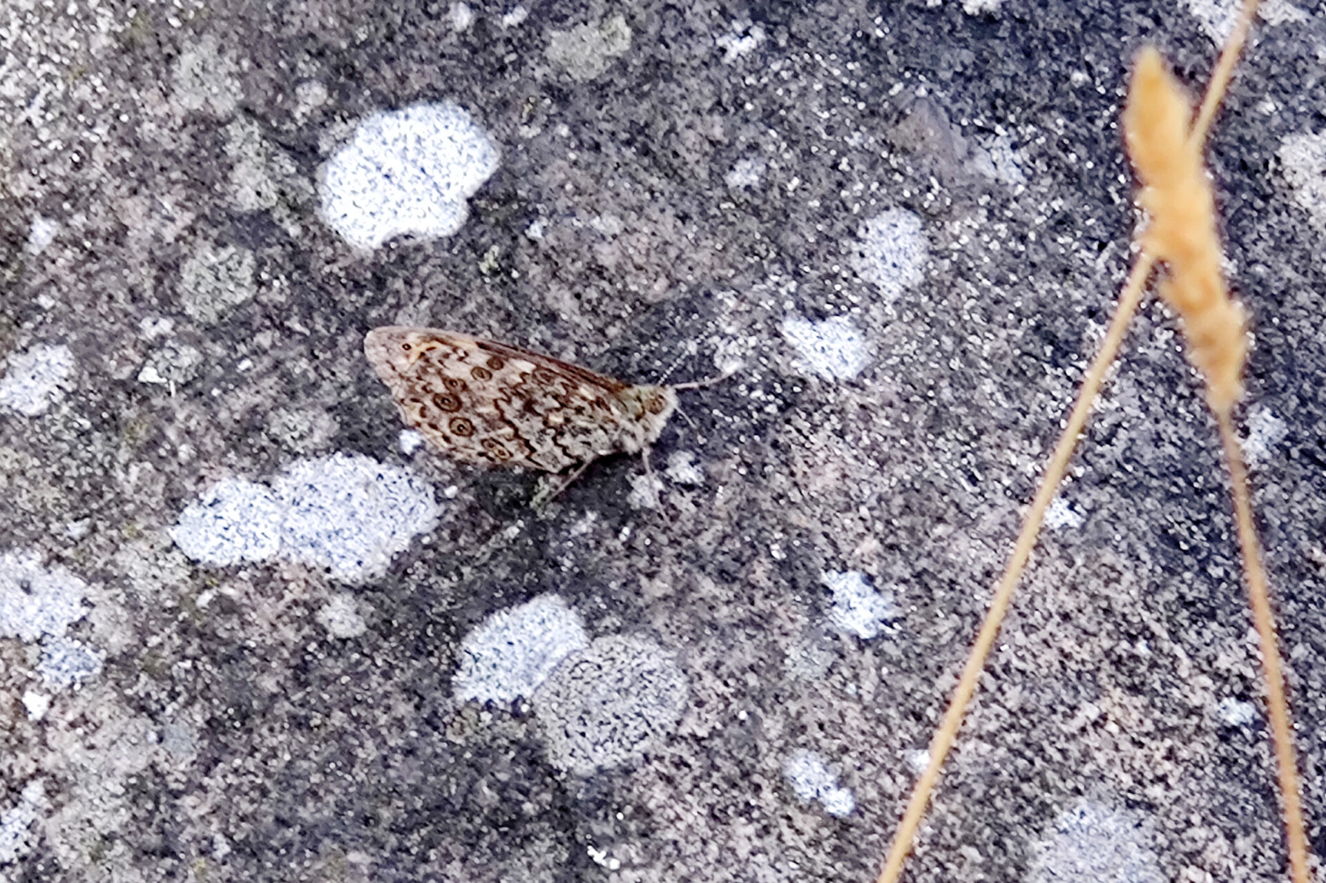
After Ickornshaw we headed up the hill to the A6068 main road, crossed it and continued uphill. Part way up I spotted a butterfly that I’ve seen a few times around where I live in Derbyshire, a Wall butterfly. With its wings open it was easy to identify but when they closed it was almost invisible on the rock it had chosen to sit on.
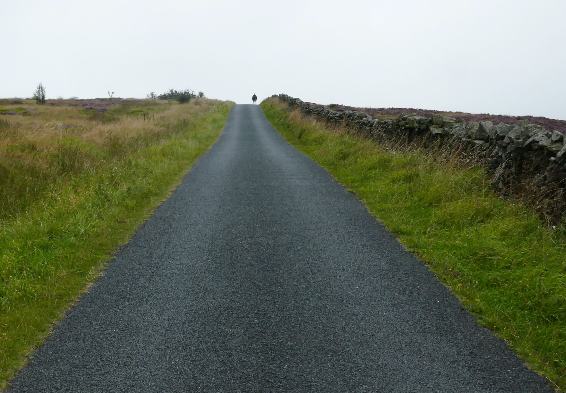
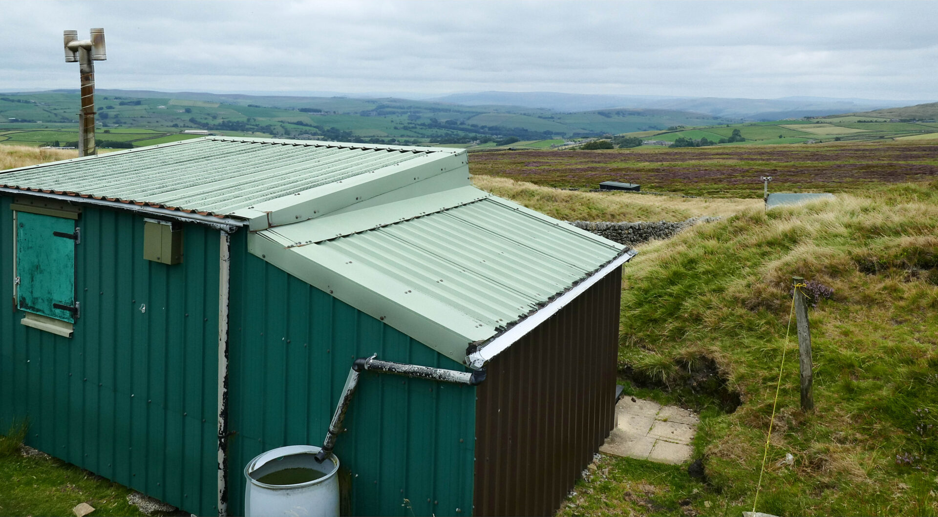
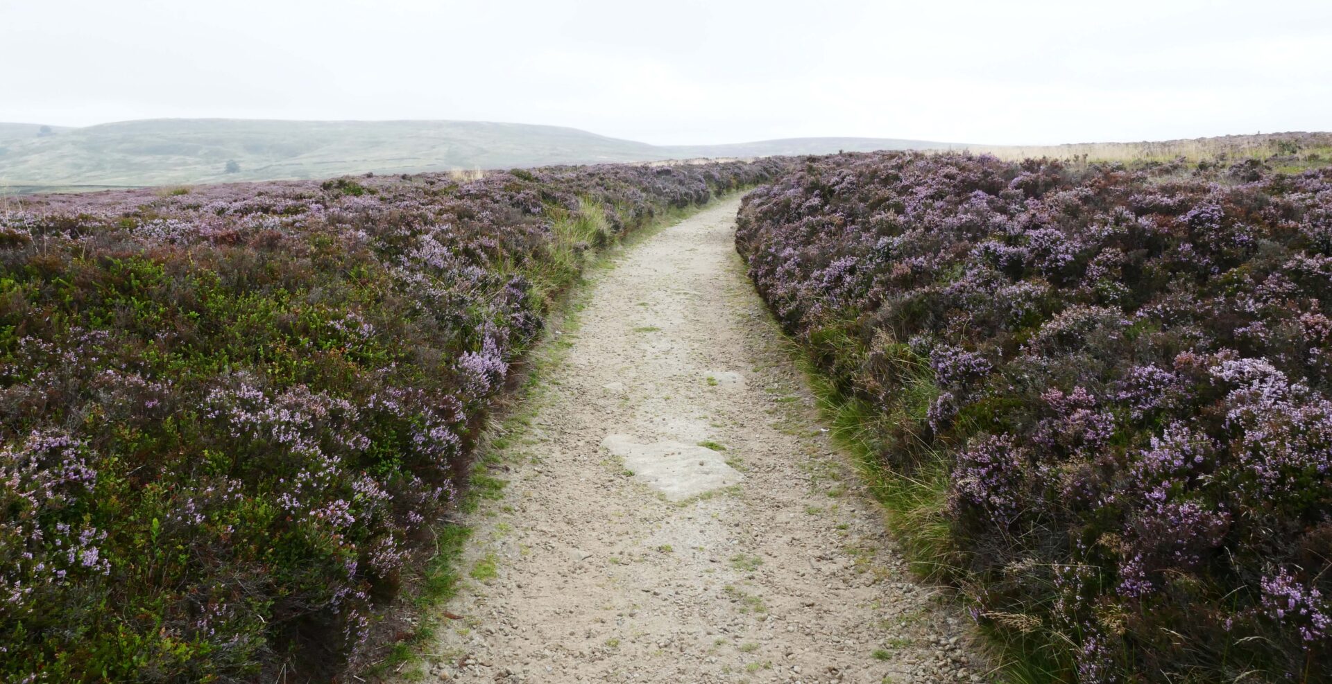
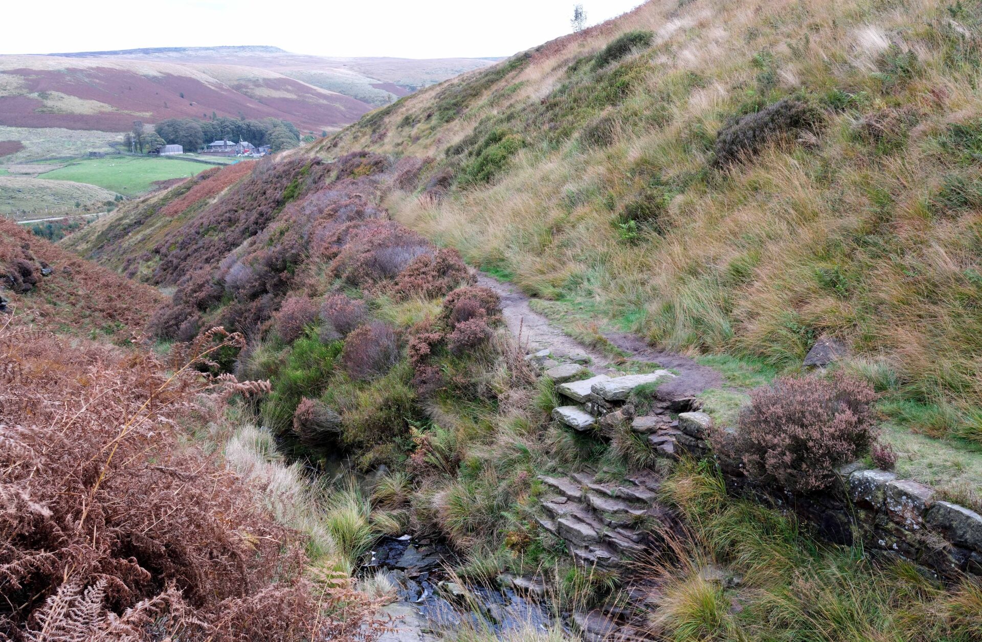
The farmland soon gave way to about 3 miles of moorland (mainly Ickornshaw Moor) and then we were walking past a number of shooting huts. They seemed to be well equipped with kitchen, table and seating areas inside.
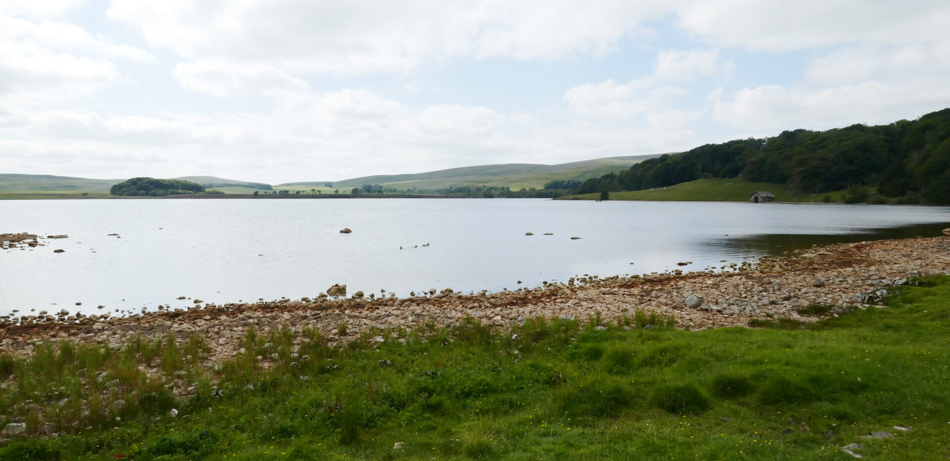
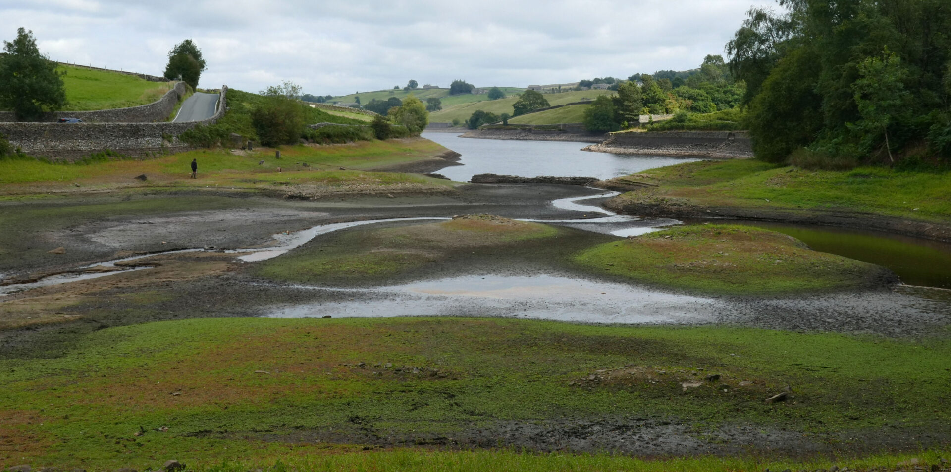
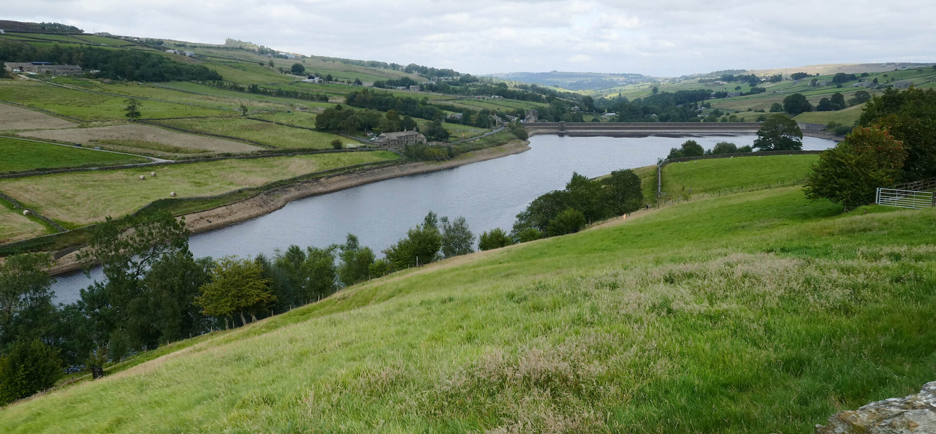
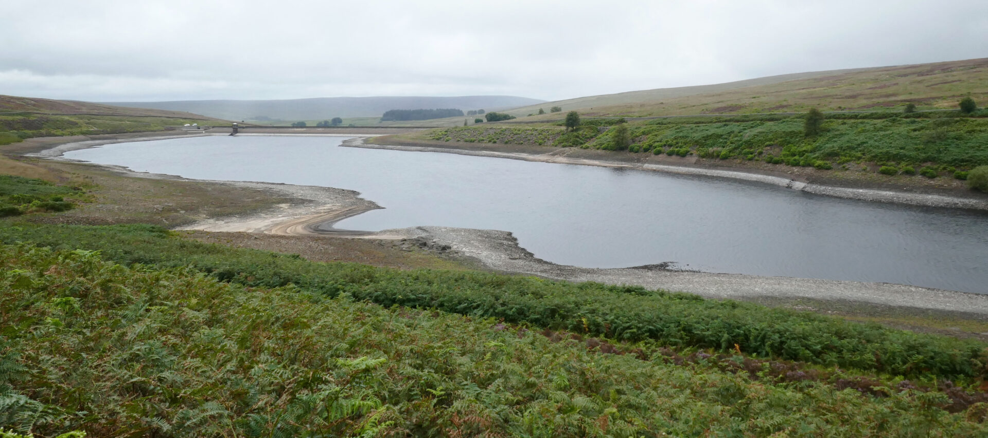
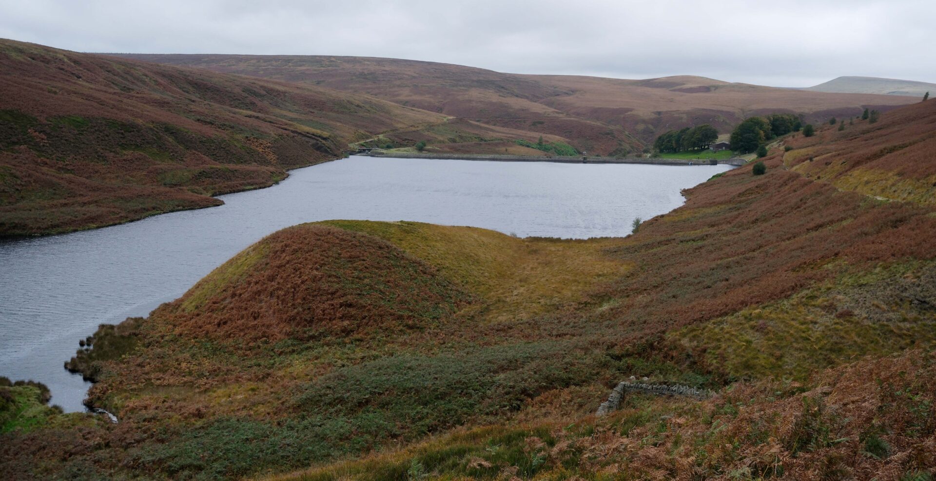
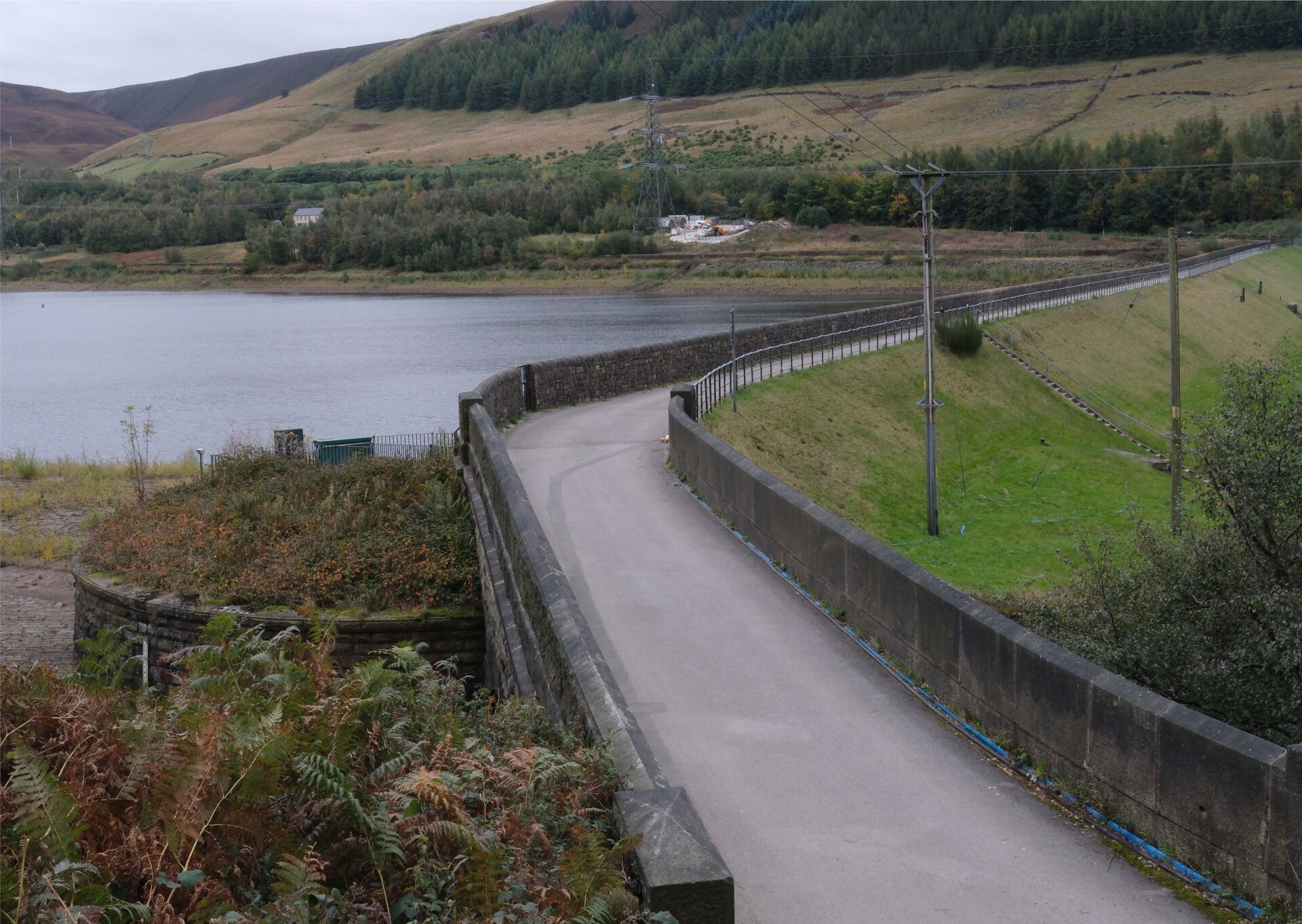
Having left the moors behind we came down to a minor road, turned left along the road for a short section then mainly down footpaths to another road that leads to Stanbury village. Ahead of us was Ponden Reservoir looking in quite a sorry state as the water level was very low.
We followed the Pennine Way path along the south side of Ponden Reservoir, past some old cottages, to our arranged pick up point with Jan at the dam at about 5pm.
Overall, it was about 13 miles in 7 hours with quite a bit of ascent from several ups and downs. Our break at the pub in Lothersdale accounted for 1h 15m of the 7h, but I paused the GPS so that the time didn’t register, so we were walking for about 5h 50m.
Day 17 Stanbury to Hebden Bridge 10.9 miles 5h
Weather: dry all day, cold wind on the tops so I wore a thin windproof jacket over my warm layers for much of the day.
This was the last day of this trip in August 2025 so we packed our bags, checked out of our rooms and headed for the car park. Jan then drove Al and I to Ponden Reservoir dam near Stanbury to resume our trek southwards.
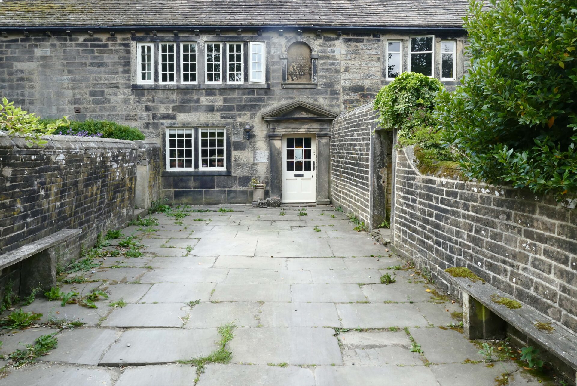
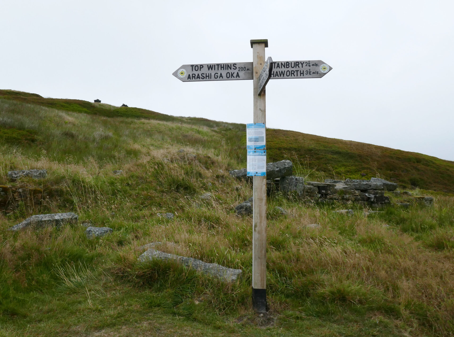
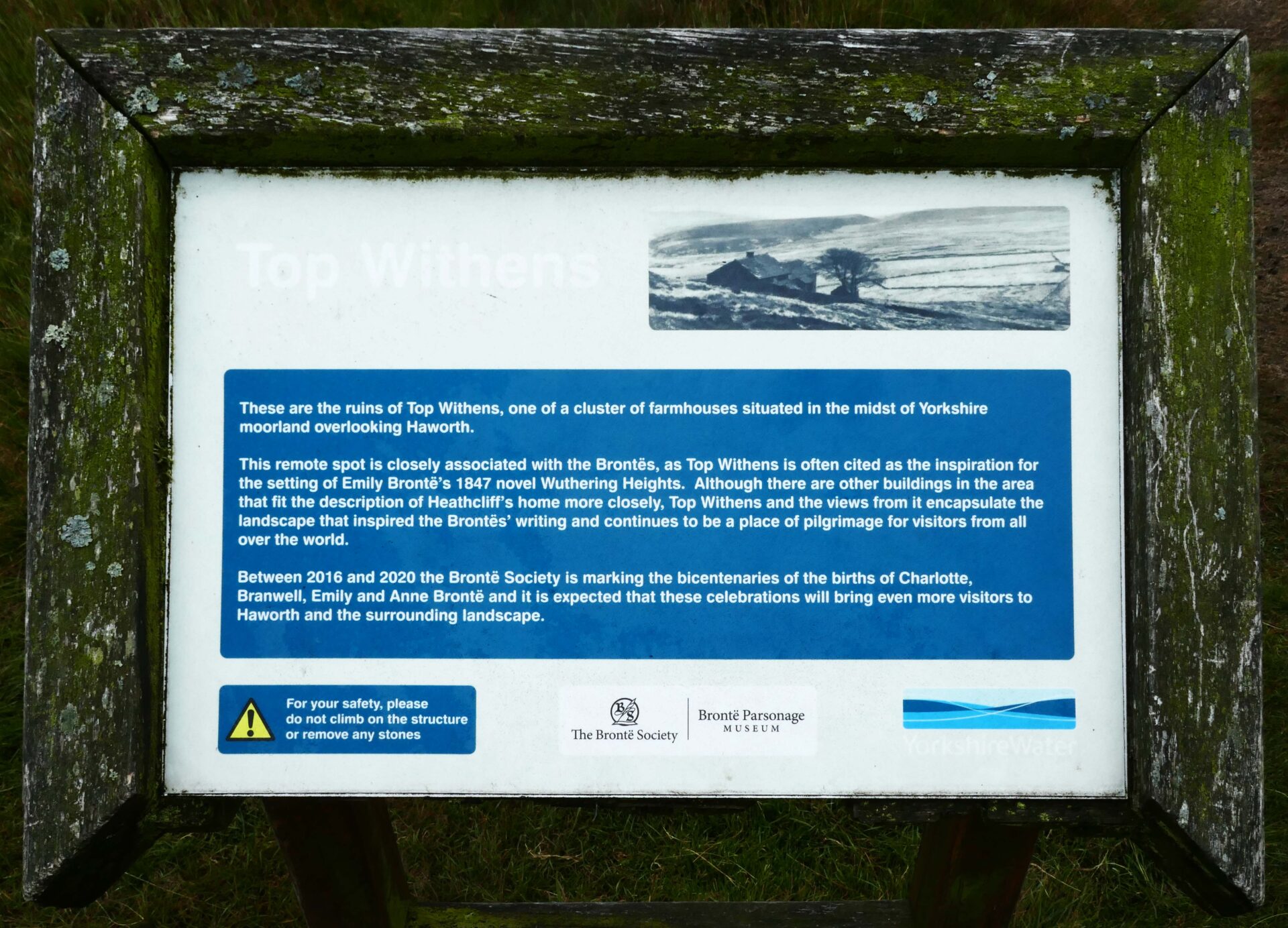
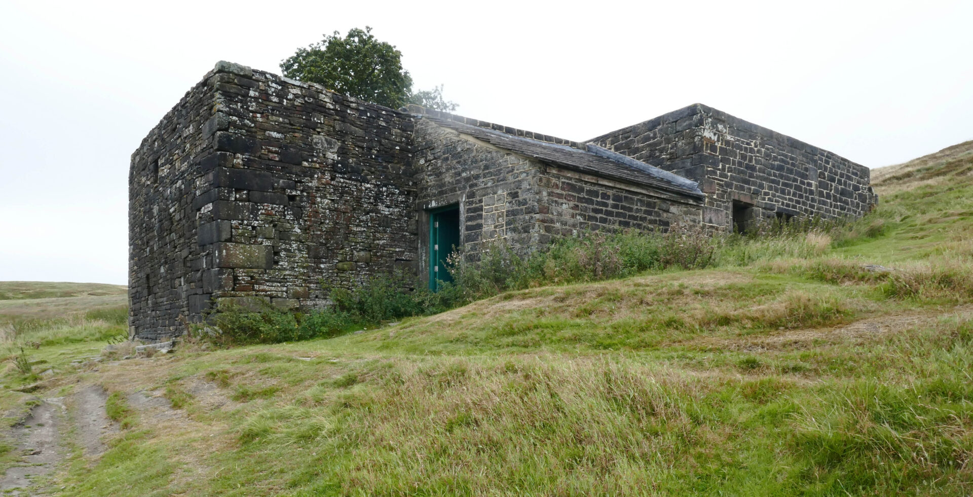
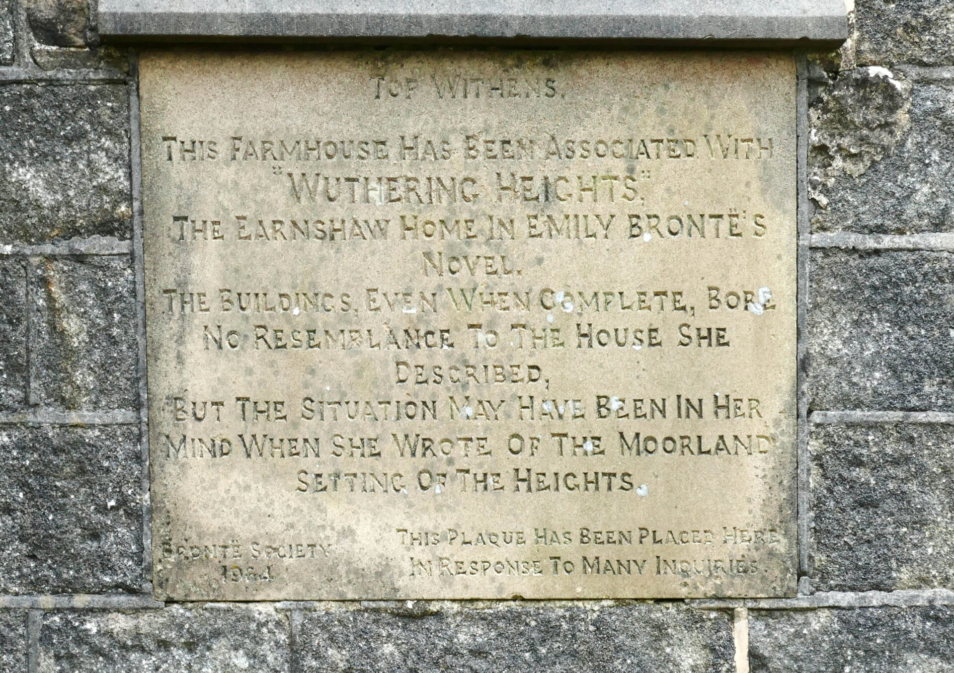
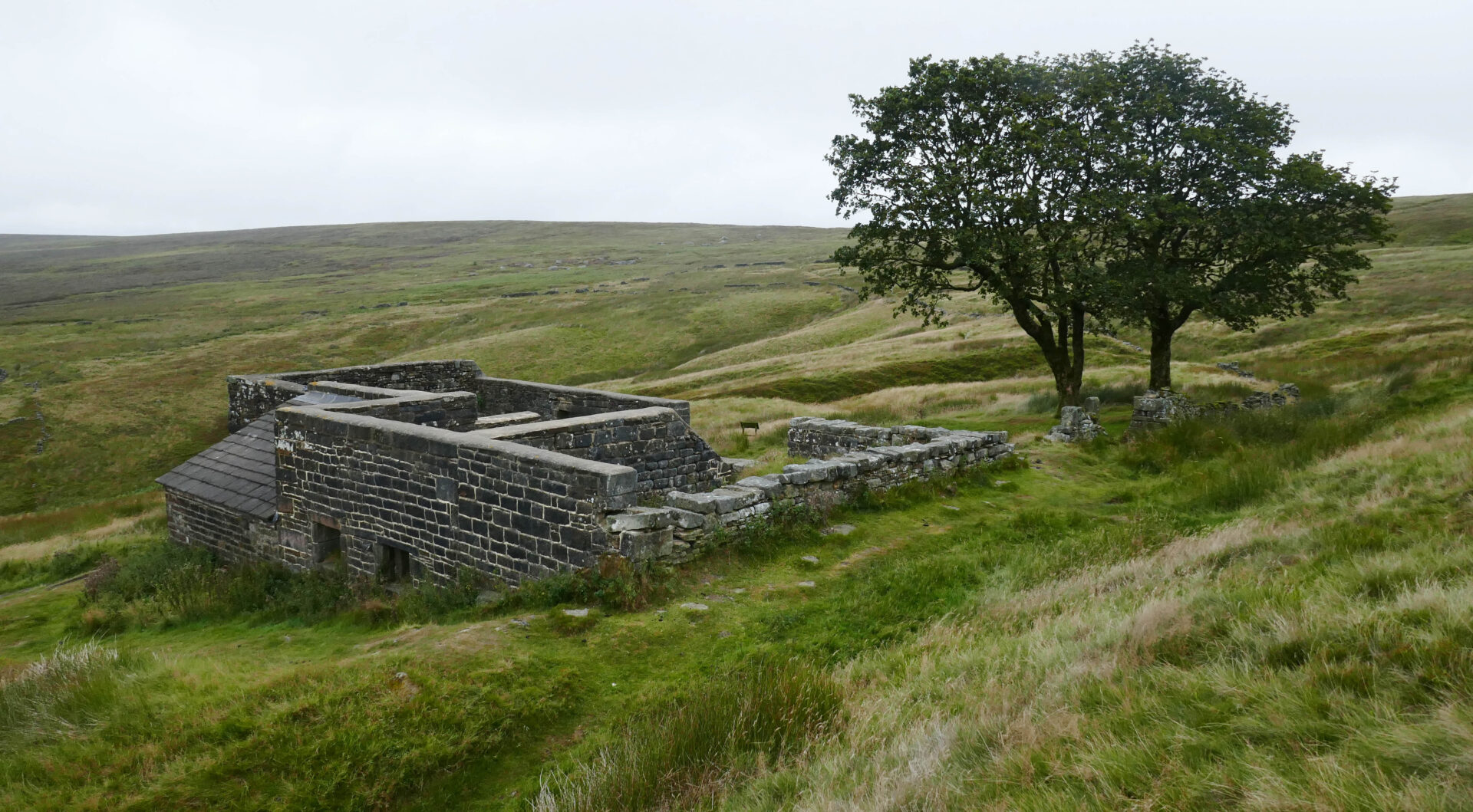
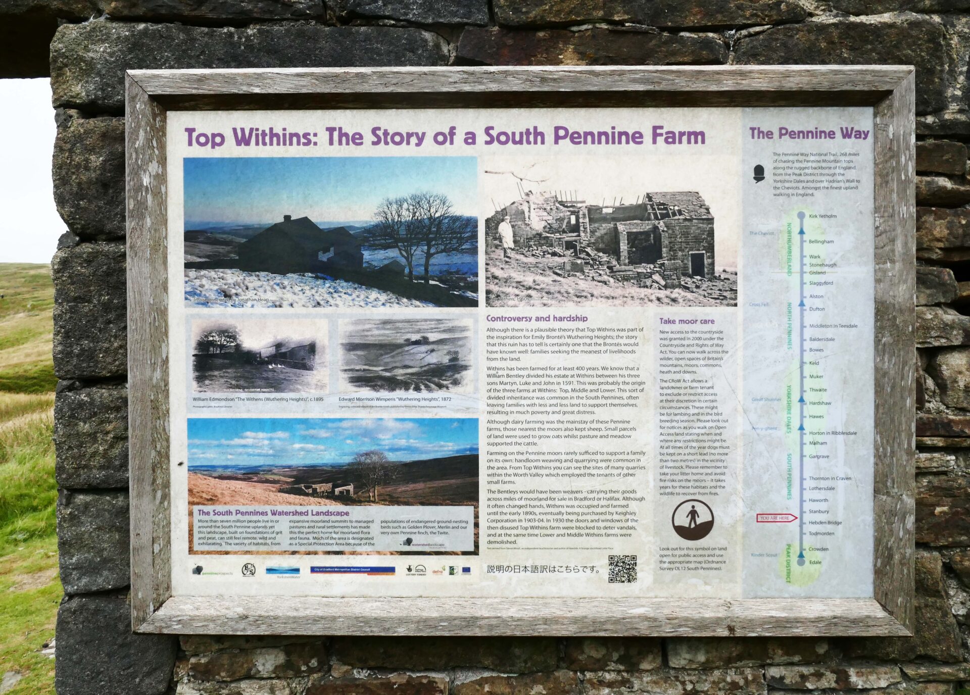
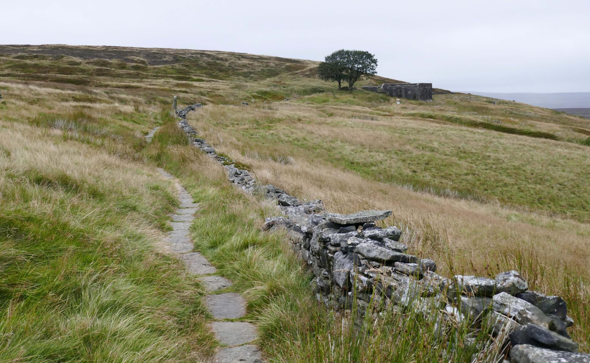
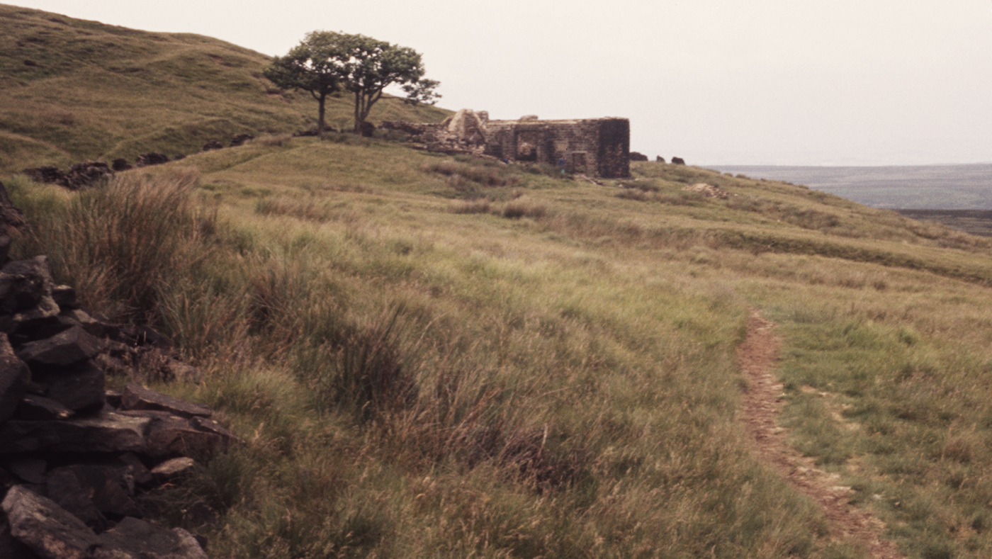
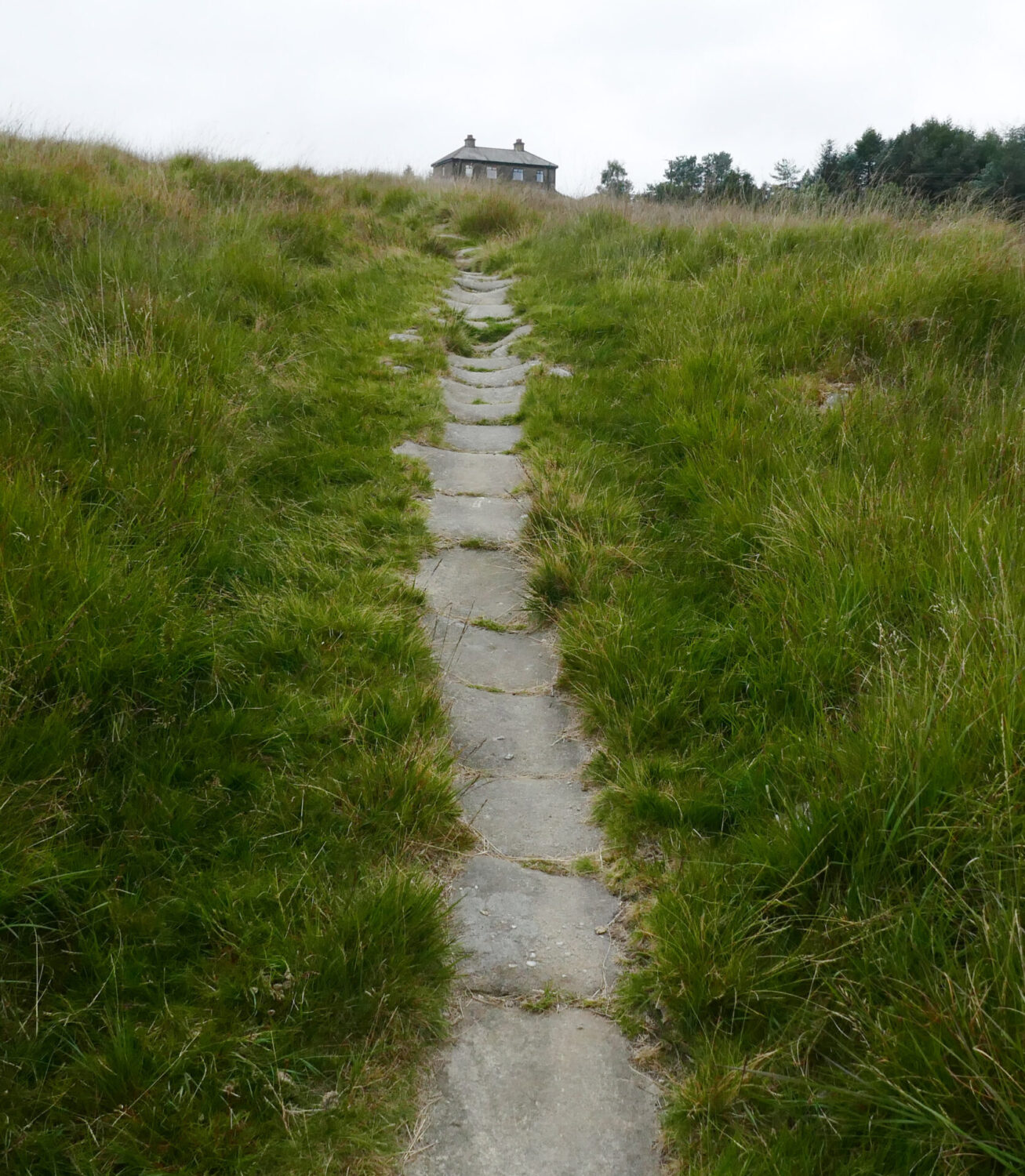
We were walking at about 10.25am over the dam and then along a farm track. After about a half mile we were onto heather covered moorland and a good track to the Withins of Wuthering Heights fame. Interesting to see footpath signs in a foreign language which we assumed to be Japanese. Top Withens was a ruined farmhouse when I passed it in 1974 and the shell of the building didn’t look much different, but it’s been restored and lost some of the character that I saw.
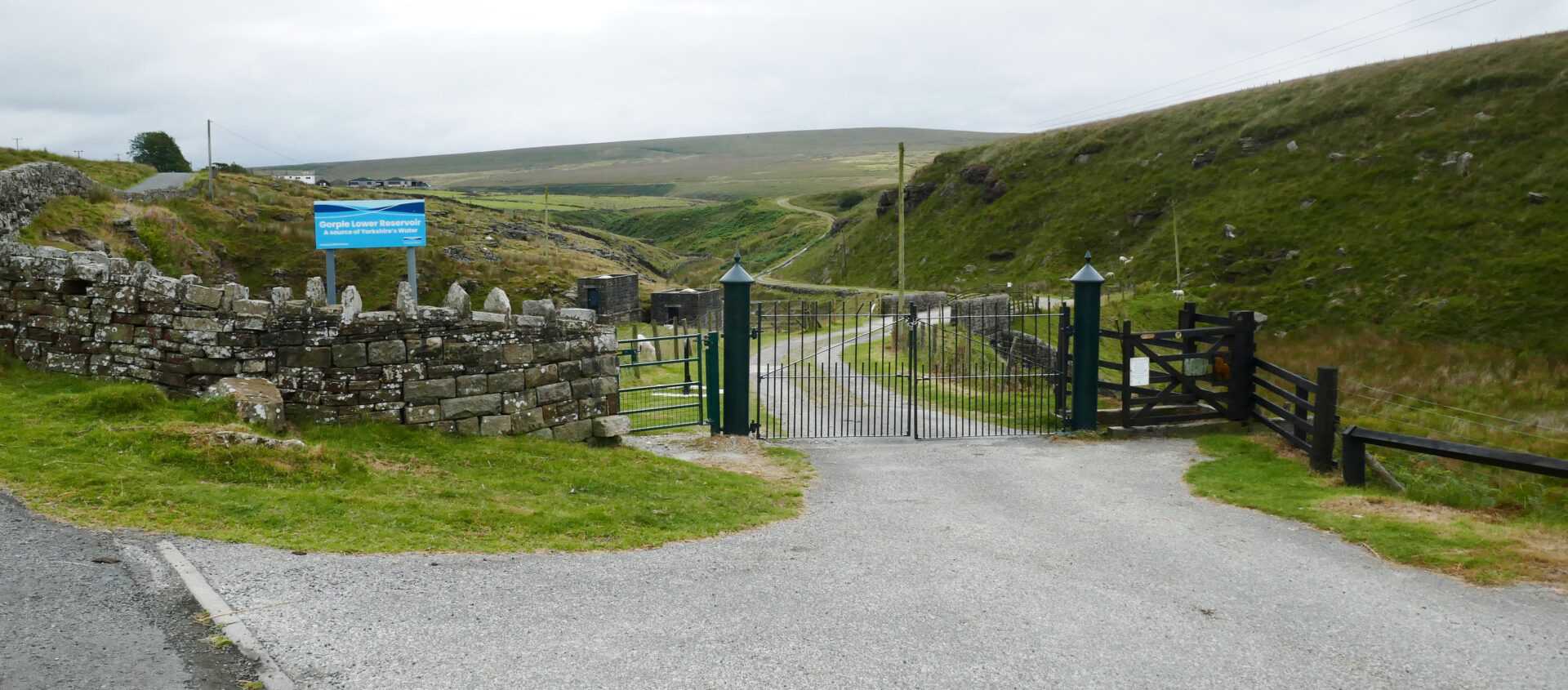
After another stretch of moorland we came down to Walshaw Dean Middle reservoir just after 12pm, about 5 miles from our start at Ponden dam. We passed the dam at the far end and walked along Walshaw Dean Lower Reservoir to another dam, which we crossed.
It was a bit of a maze of paths and tracks as we made our way to Gorple Cottages.
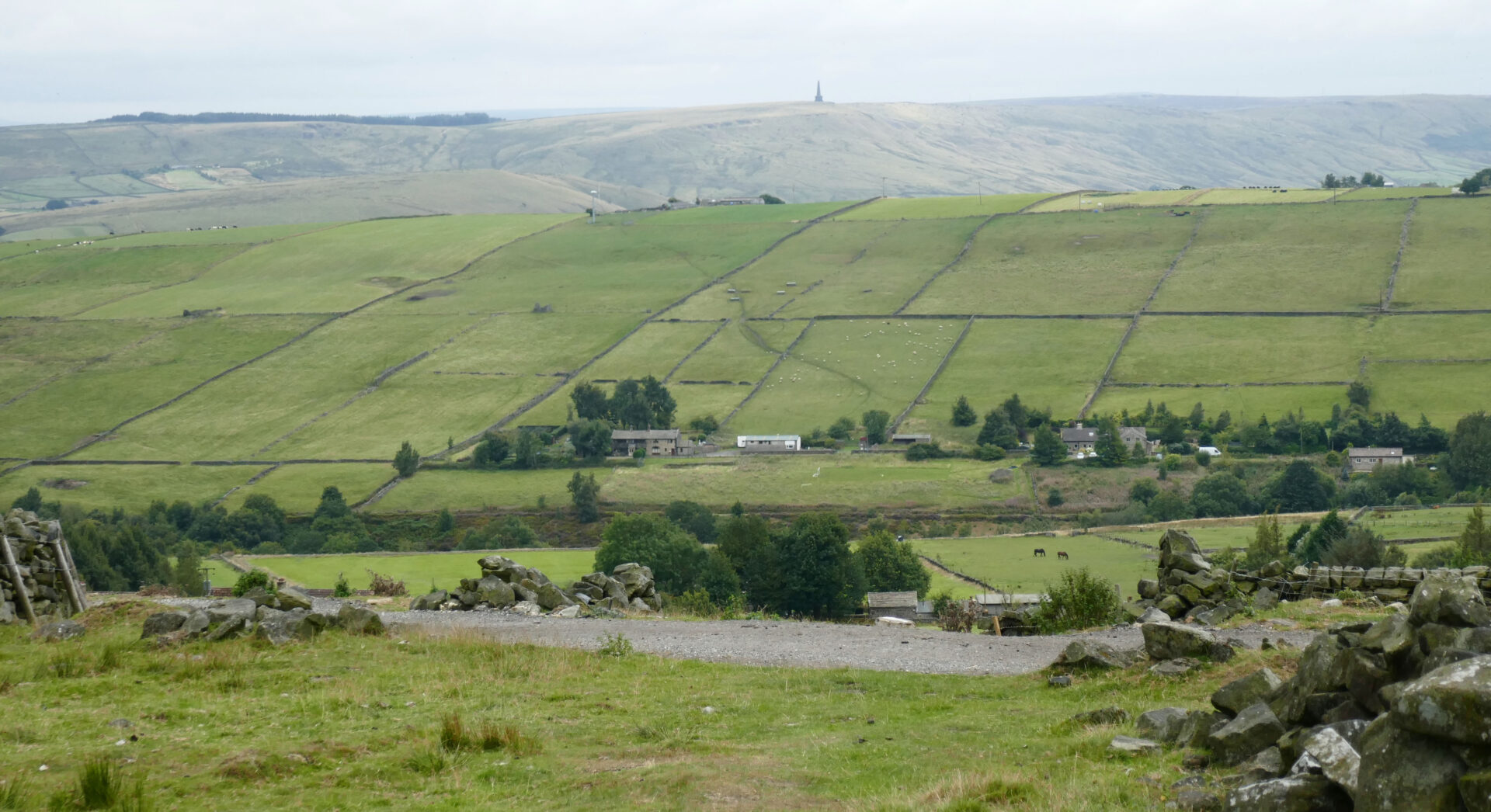
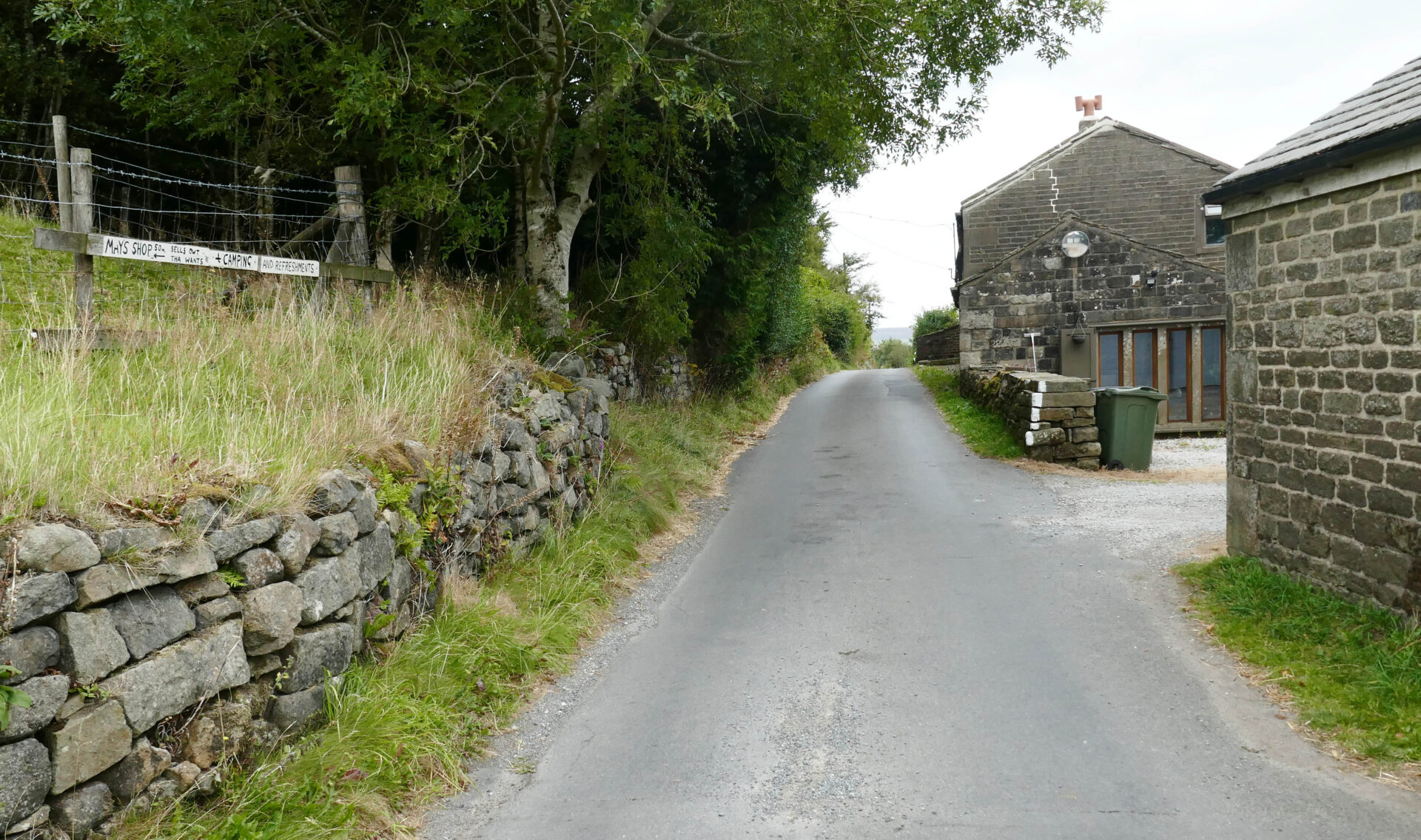
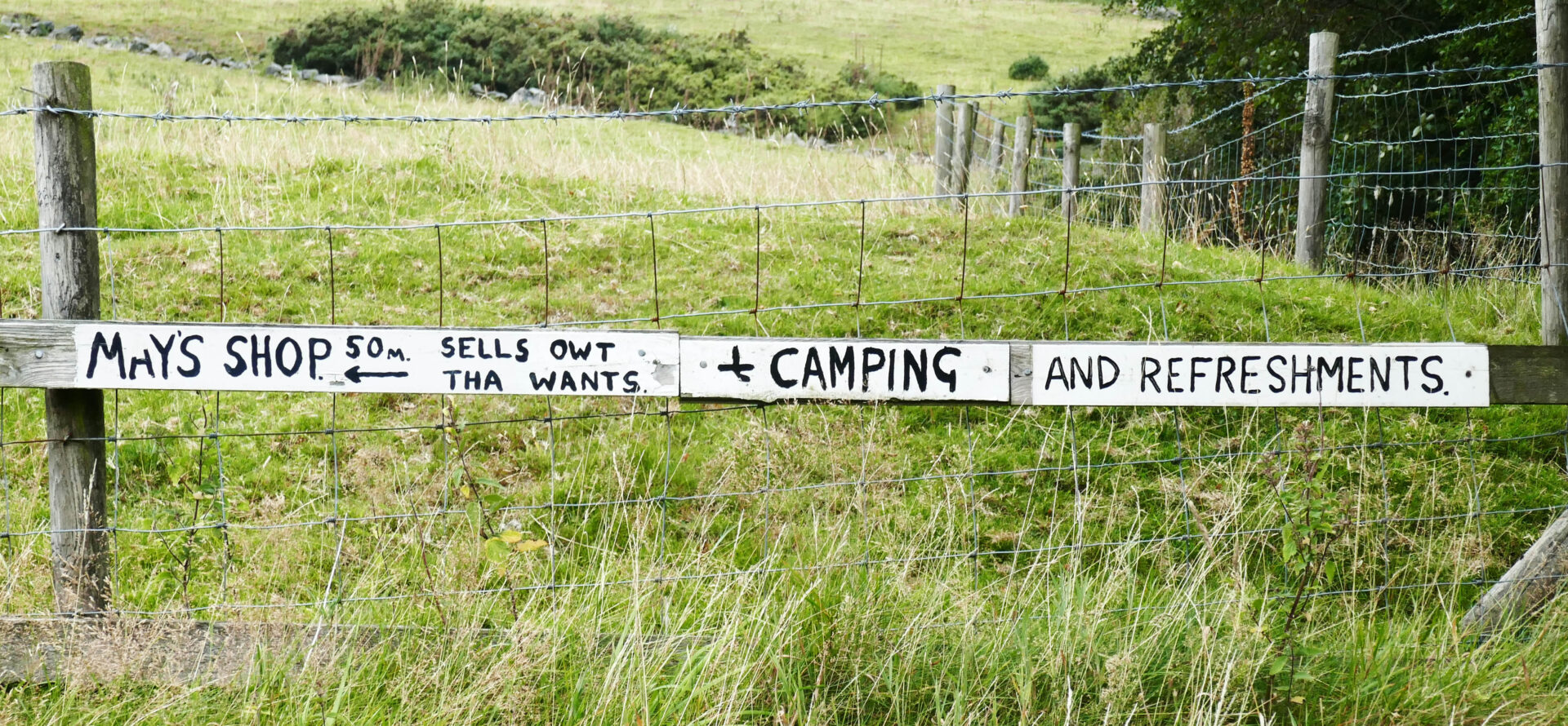
As we headed over Clough Head Hill we had views ahead to Stoodley Pike sitting on top of the ridge a long way ahead of us. Then we came down to Colden Edge Lane and the sign to May’s shop for Pennine Wayfarers to restock. We didn’t divert as we could hear the pub calling!
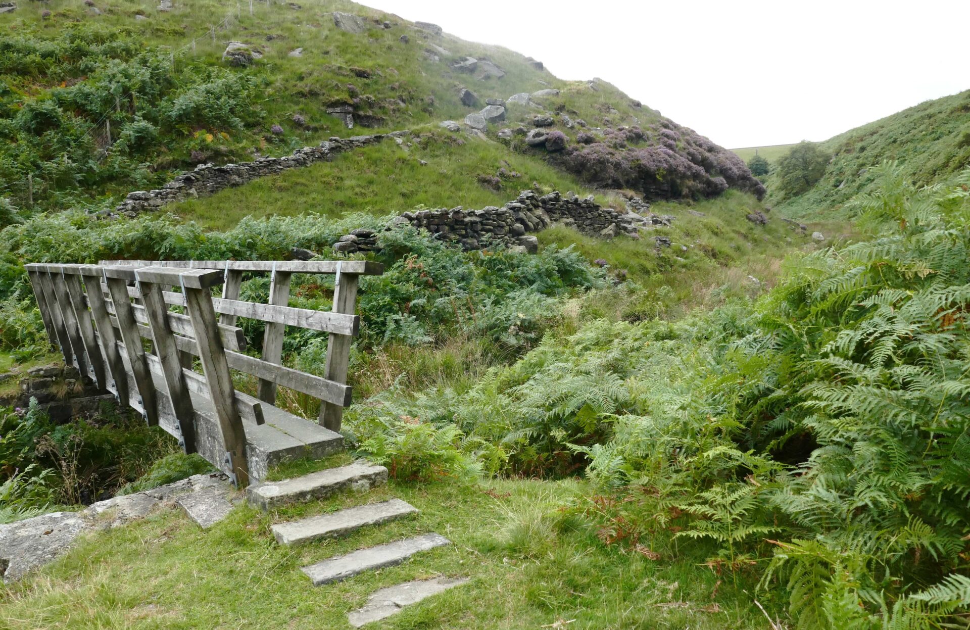
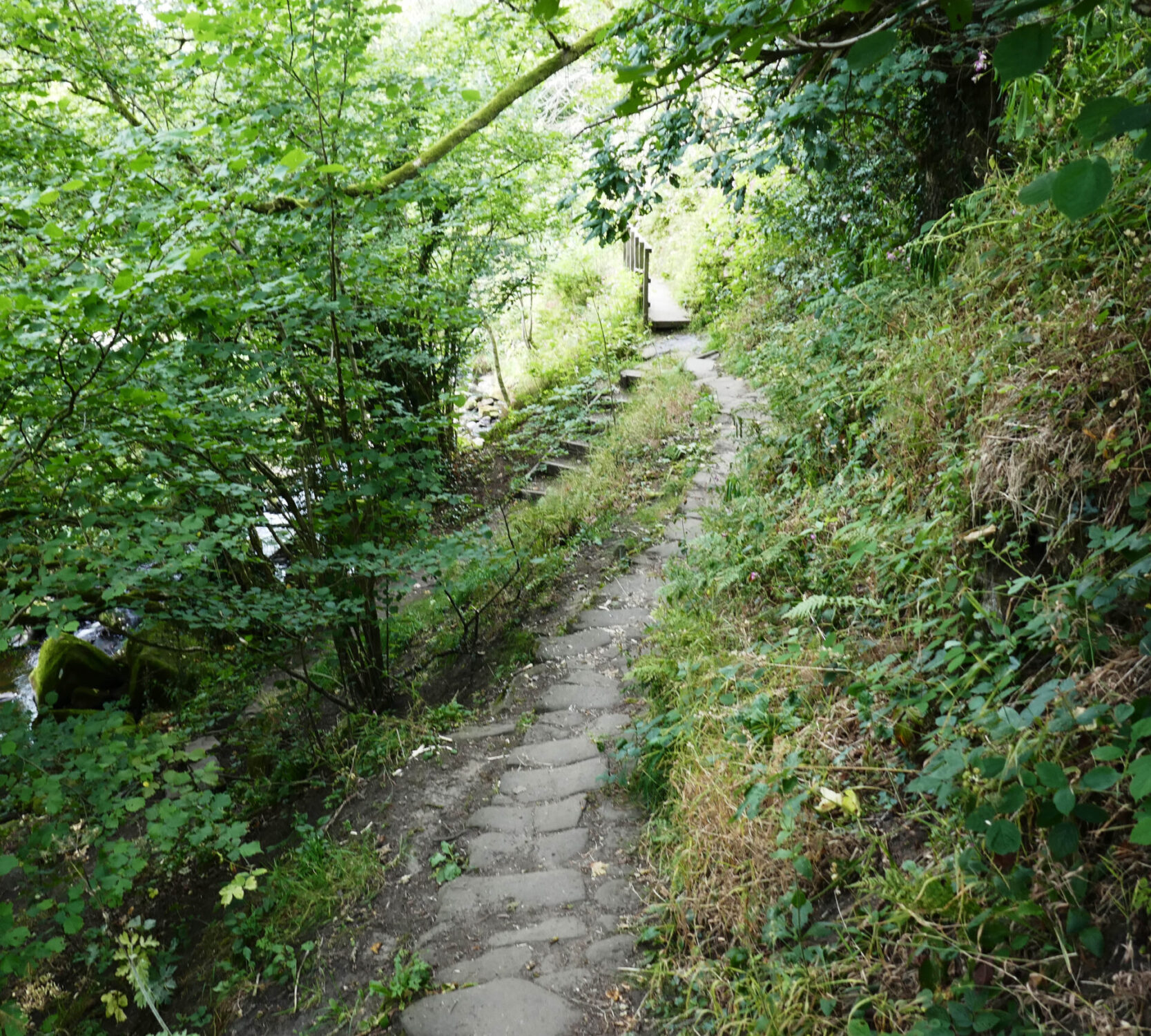
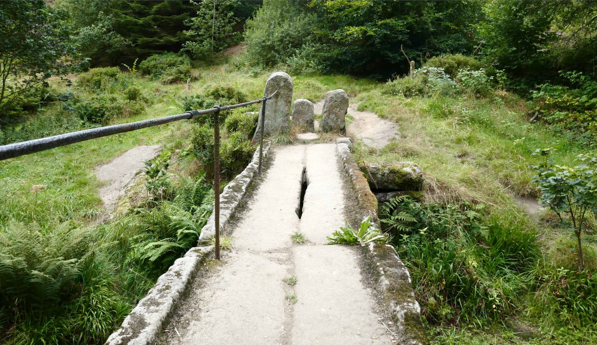
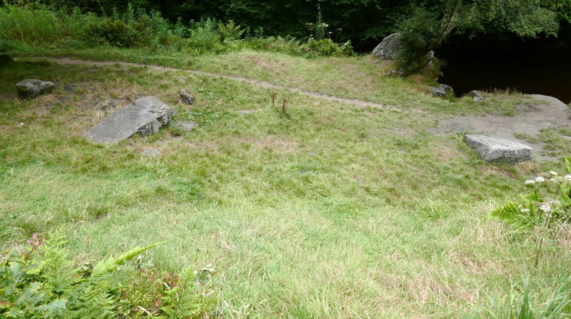
We continued down to join the path alongside Colden Water and crossed it by an old footbridge, which I recognised as being next to the wild camping site I used with a couple of other friends from Unilever Research in 1974.
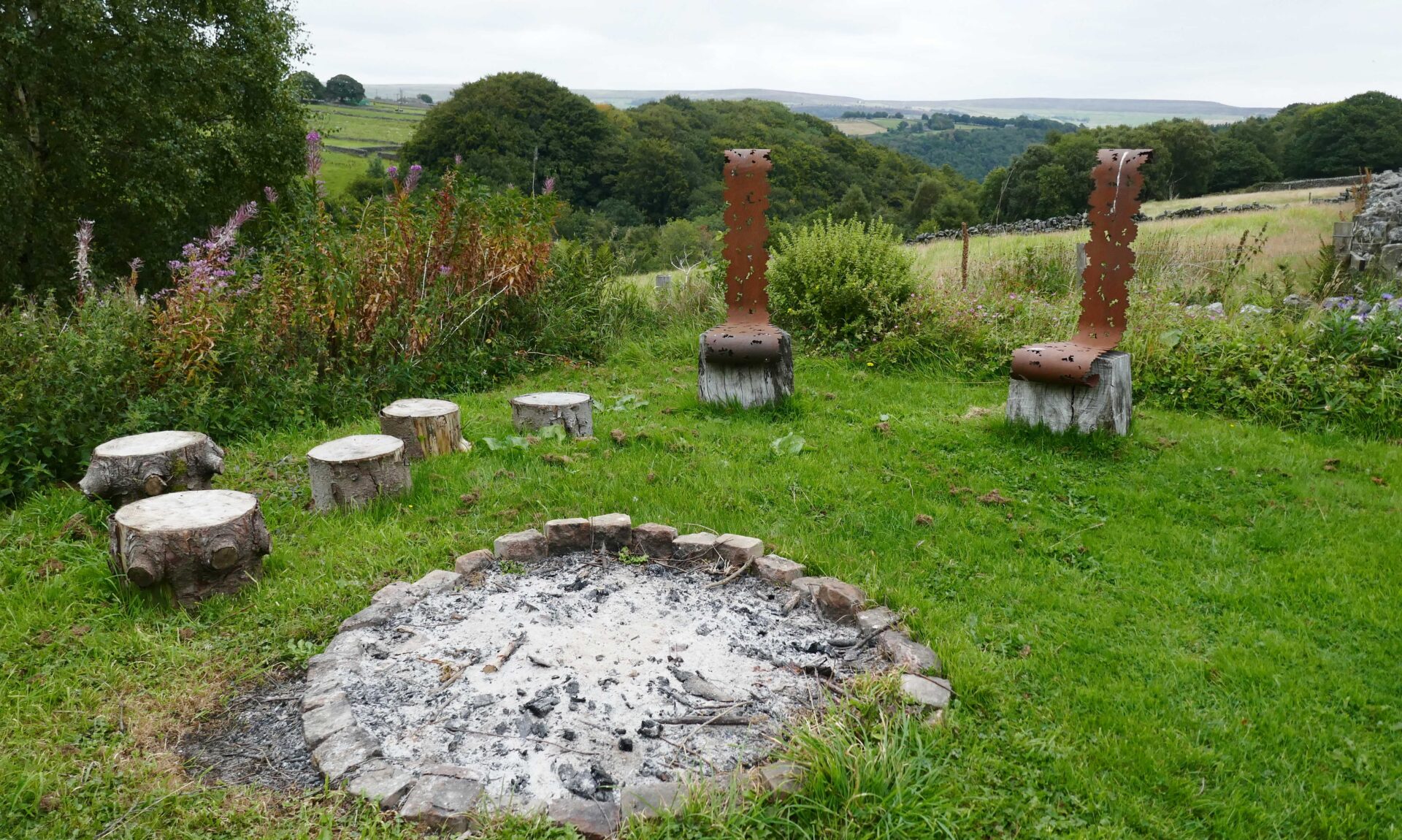
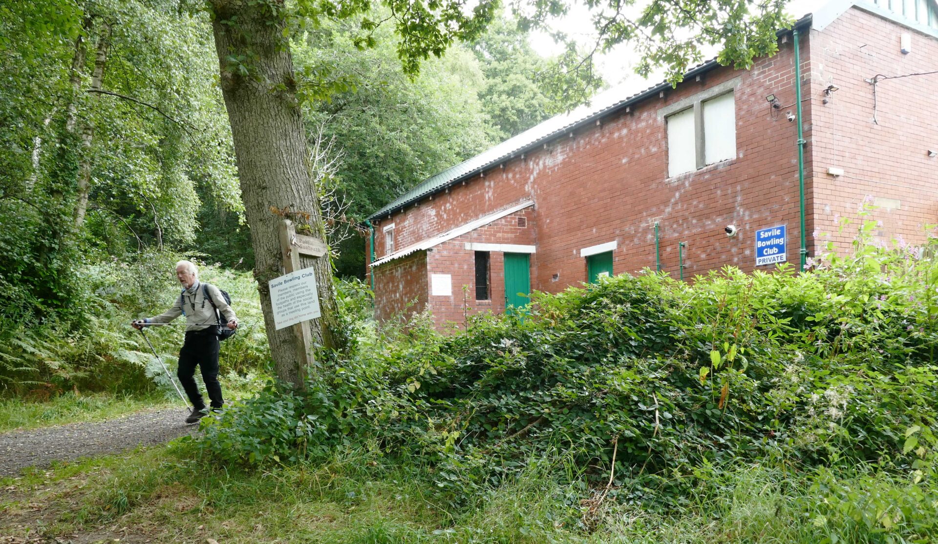
At the top of the path from Colden Water in the garden of a cottage was a display of sculptures by Jane Revitt. Then we weaved our way along footpaths and minor roads to the top of a small but quite steep wood. There were lots of paths going in every direction so we just headed downhill on whichever path seemed the most direct. We eventually came out behind the Savile Bowling Club.
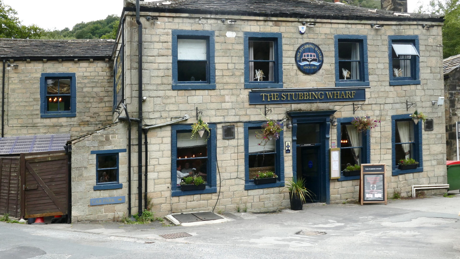
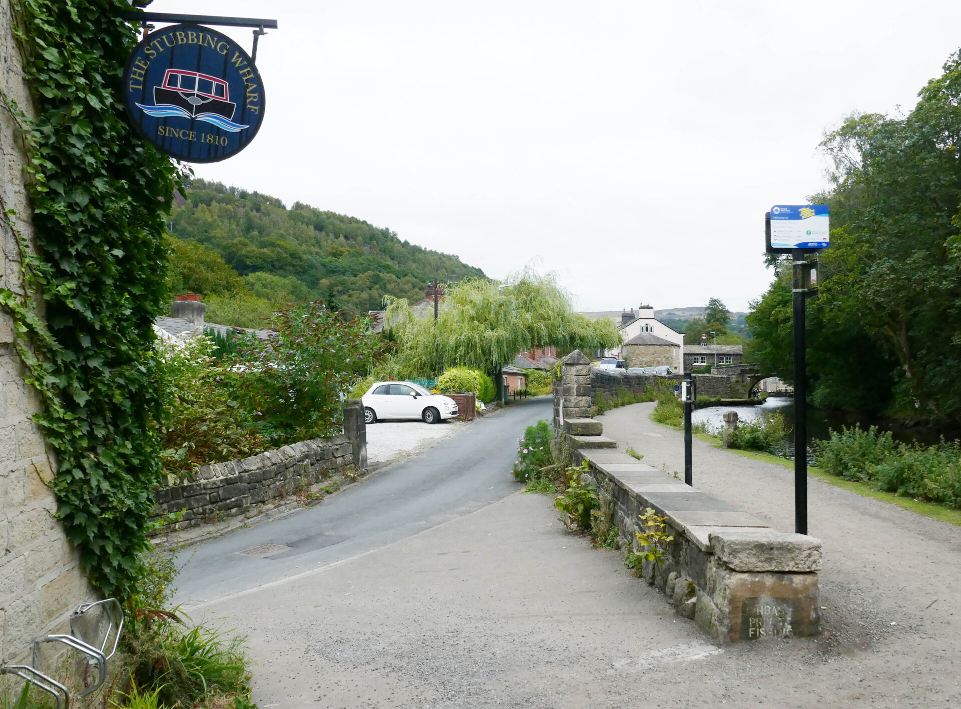
This was now just a few yards from our finish point for this part of the trek and at 3.17pm we arrived at the Stubbing Wharf pub, our pre arranged pickup point. We ordered pints at the bar and then went in search of Jan, soon finding her upstairs sitting outside near the canal towpath.
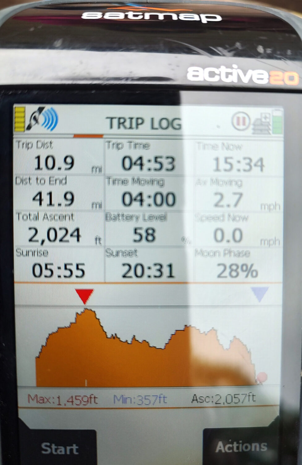
Overall, we walked 10.9 miles in about 5 hours
After our pints Jan drove us back to our home in Tunstead Milton.
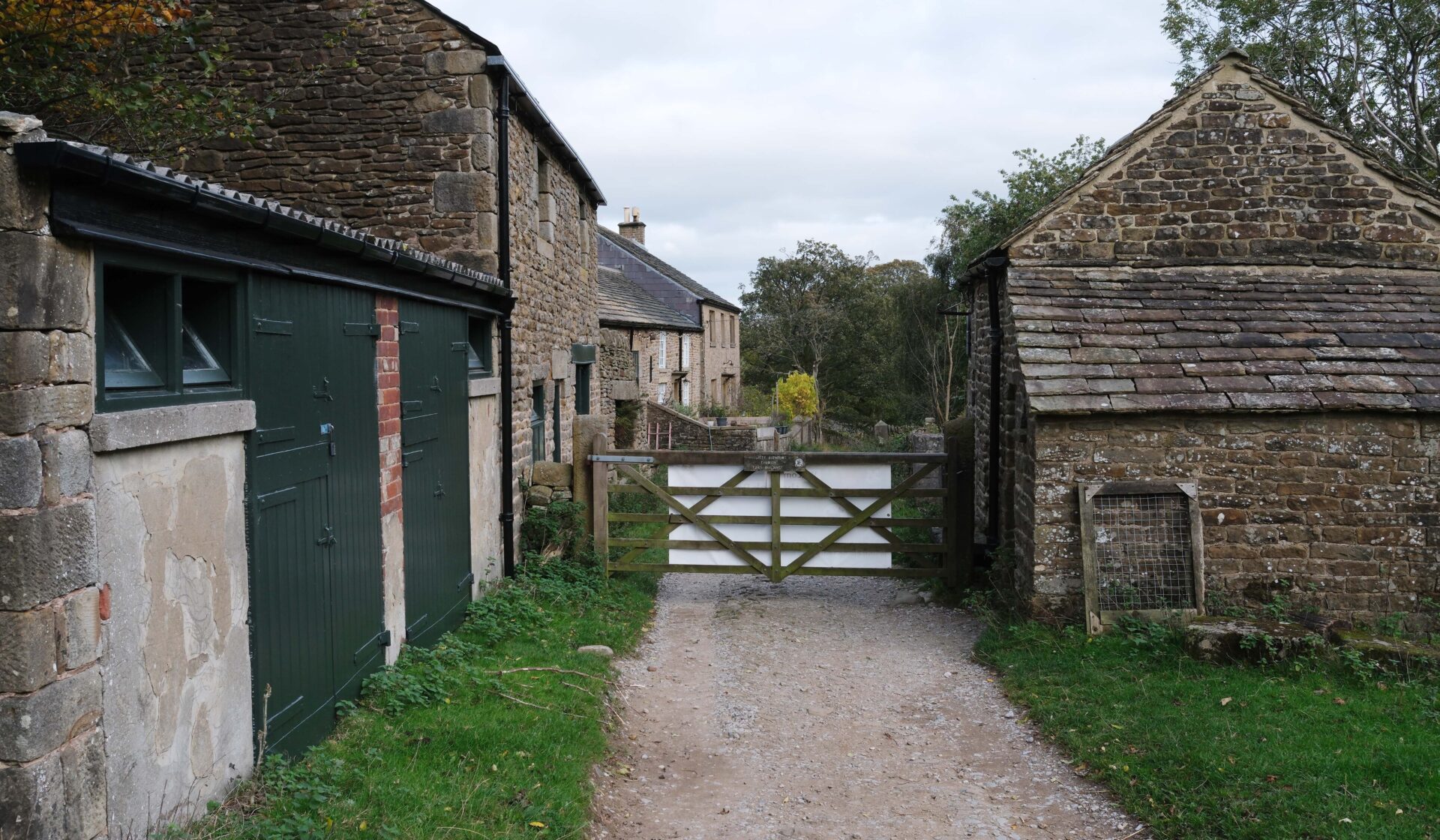
Day 18 Hebden Bridge to Standedge Cutting 15.8 miles 7h 20m
Weather: light rain to start then dry but cold on the hills.
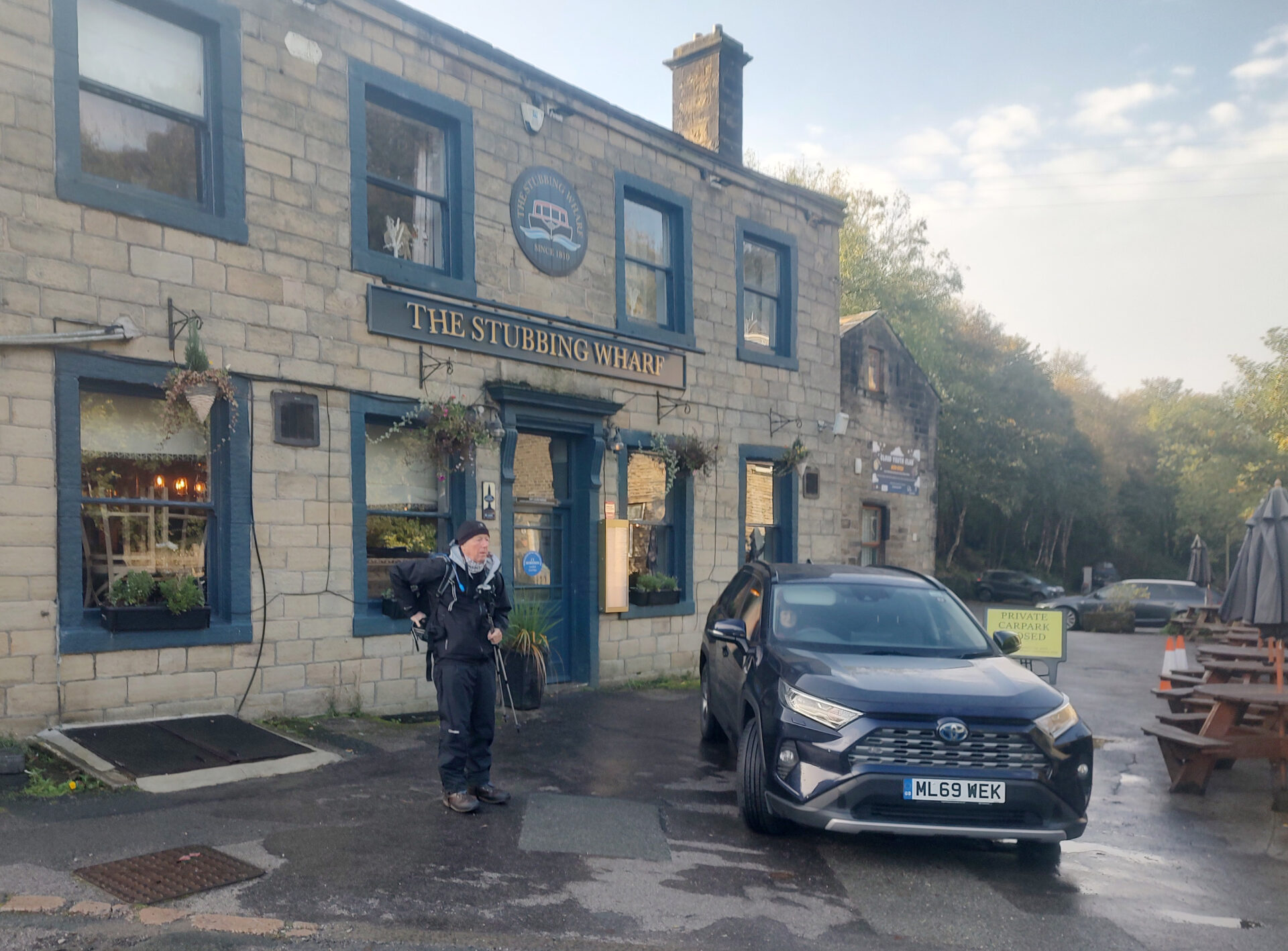
Al returned to stay with us in October 2025 to complete the last 3 days of the Pennine Way from our home between Chapel-en-le-Frith and Whaley Bridge in the Derbyshire Peak District. We were going to do them as day-walks from my home as they were reasonably close.
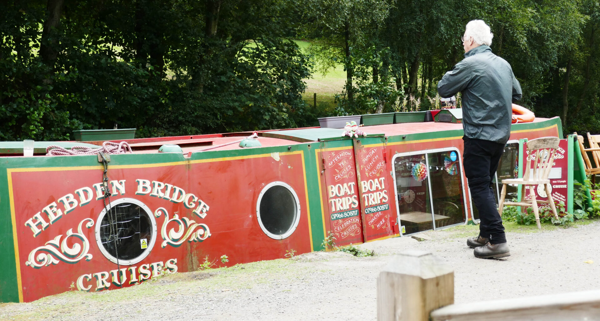
On the first day we left at about 8am with Jan driving us via Glossop, Stalybridge and Uppermill to Stubbing Wharf on the edge of Hebden Bridge. It was a Monday but the roads weren’t too busy at all.
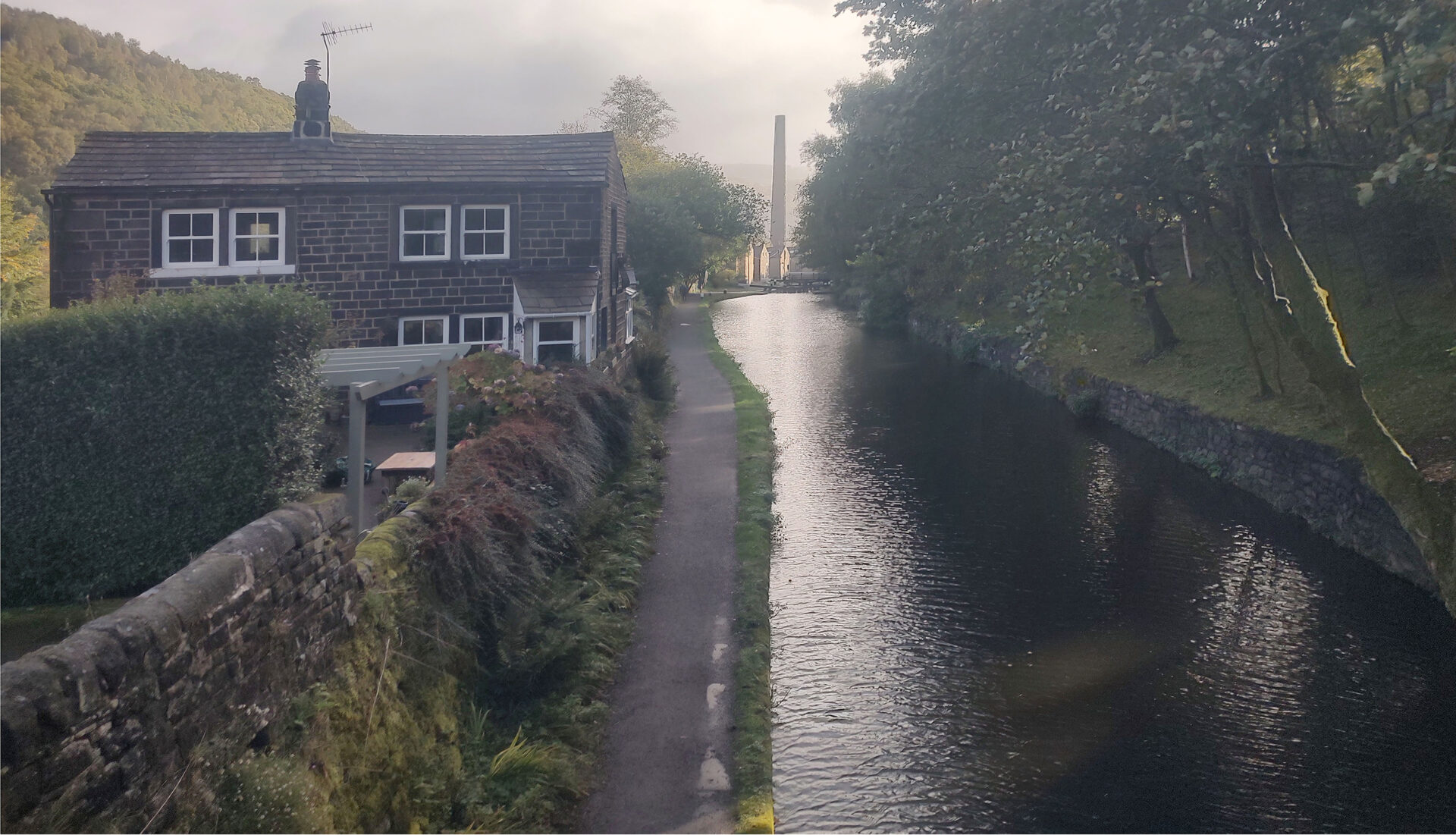
We put on full waterproofs although it seemed to be clearing a bit and a few minutes before 10am we were off. After crossing the canal we went steeply uphill on a wet slippery mainly stone path through woodland to reach a minor road. We left the road after a few hundred yards and continued along the edge of the wood soon joining the official Pennine Way route coming up from the main road between Todmorden and Hebden Bridge.
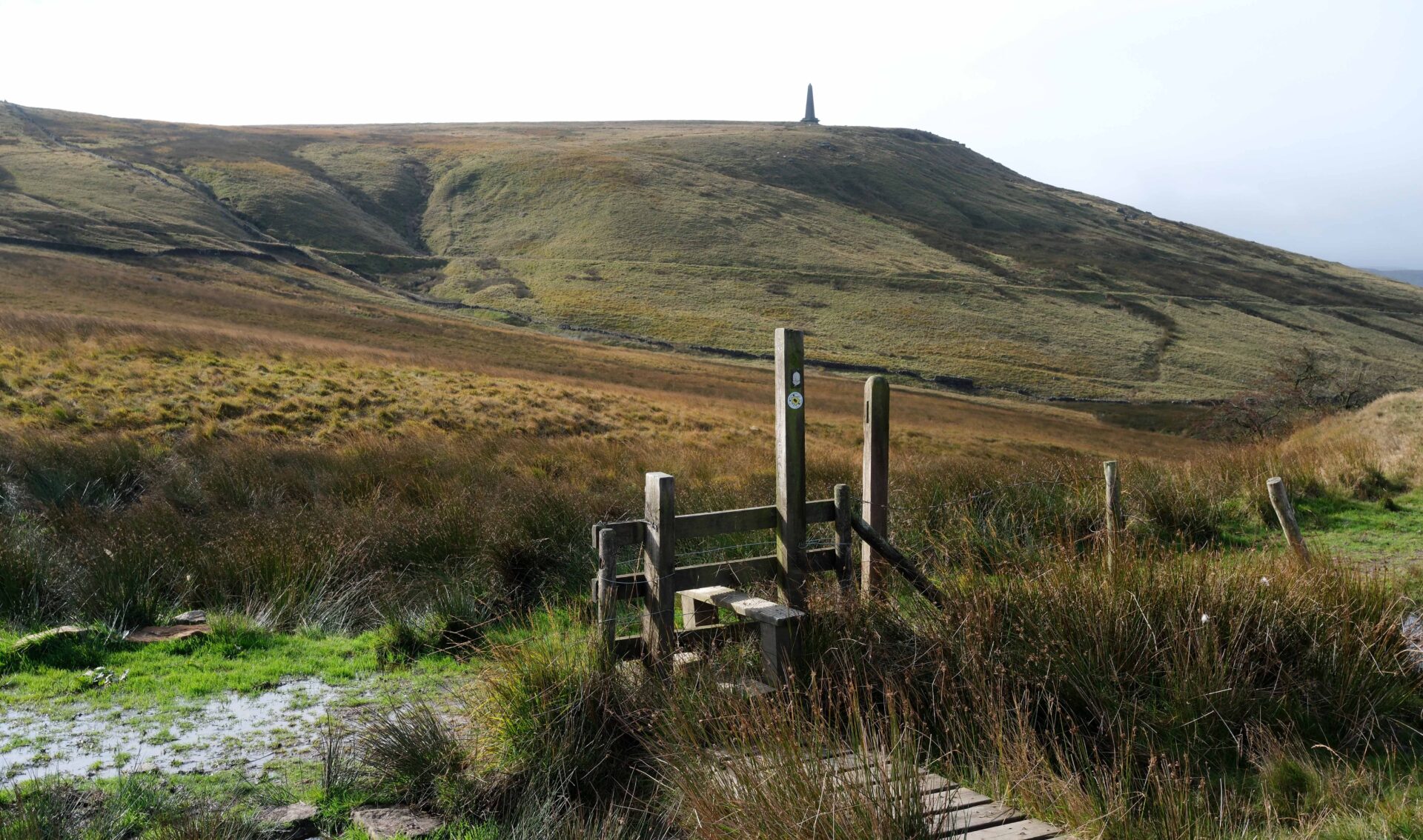
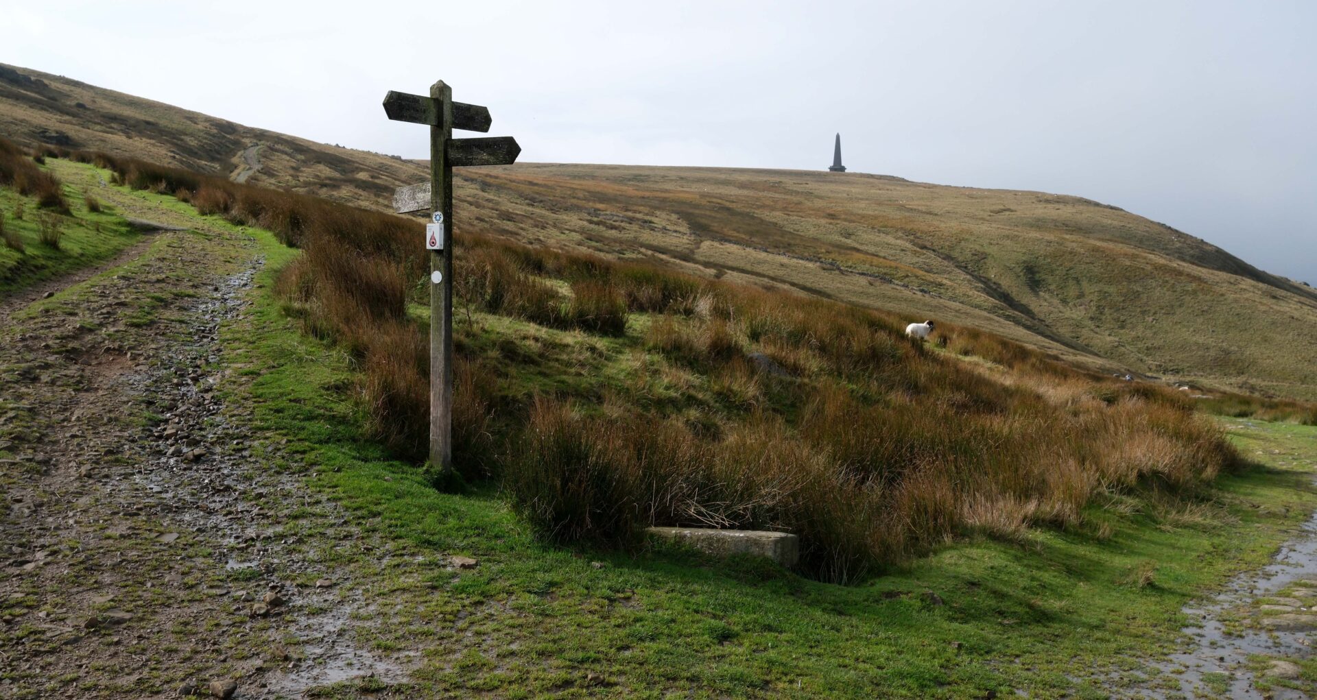
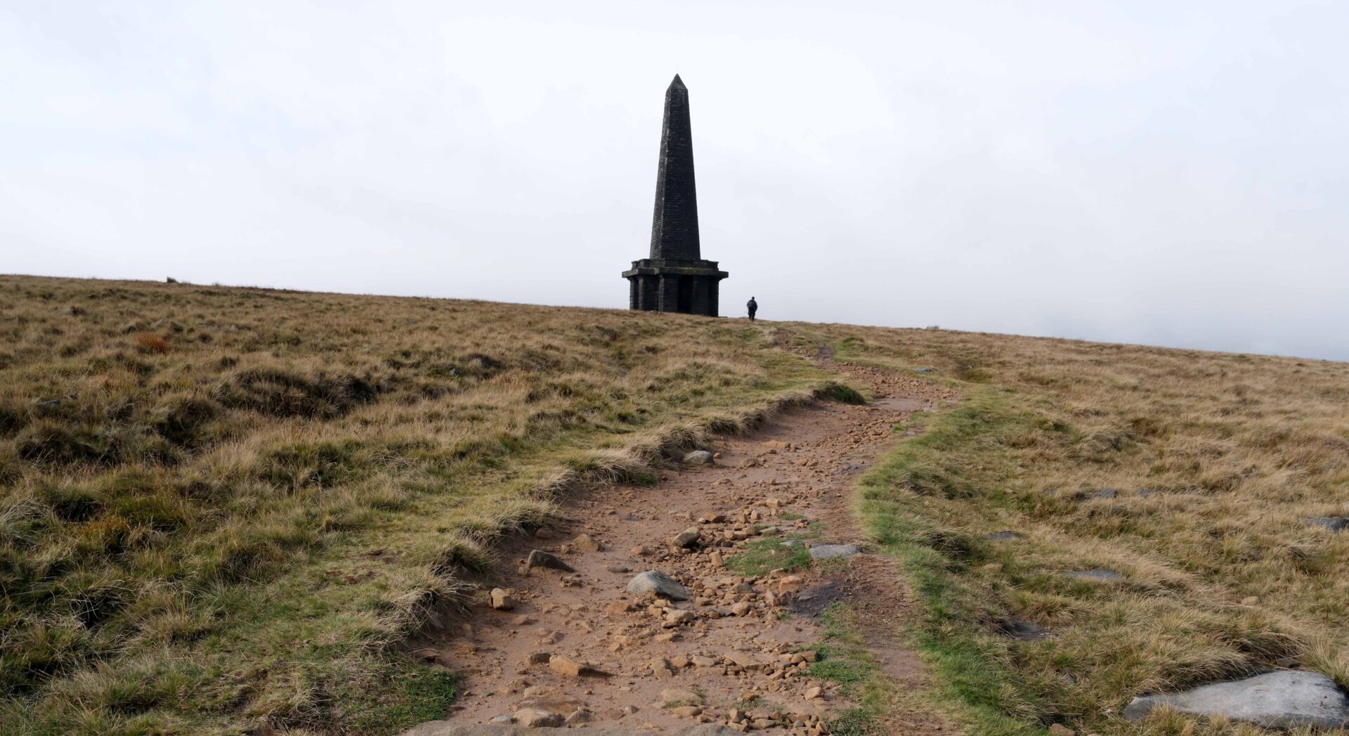
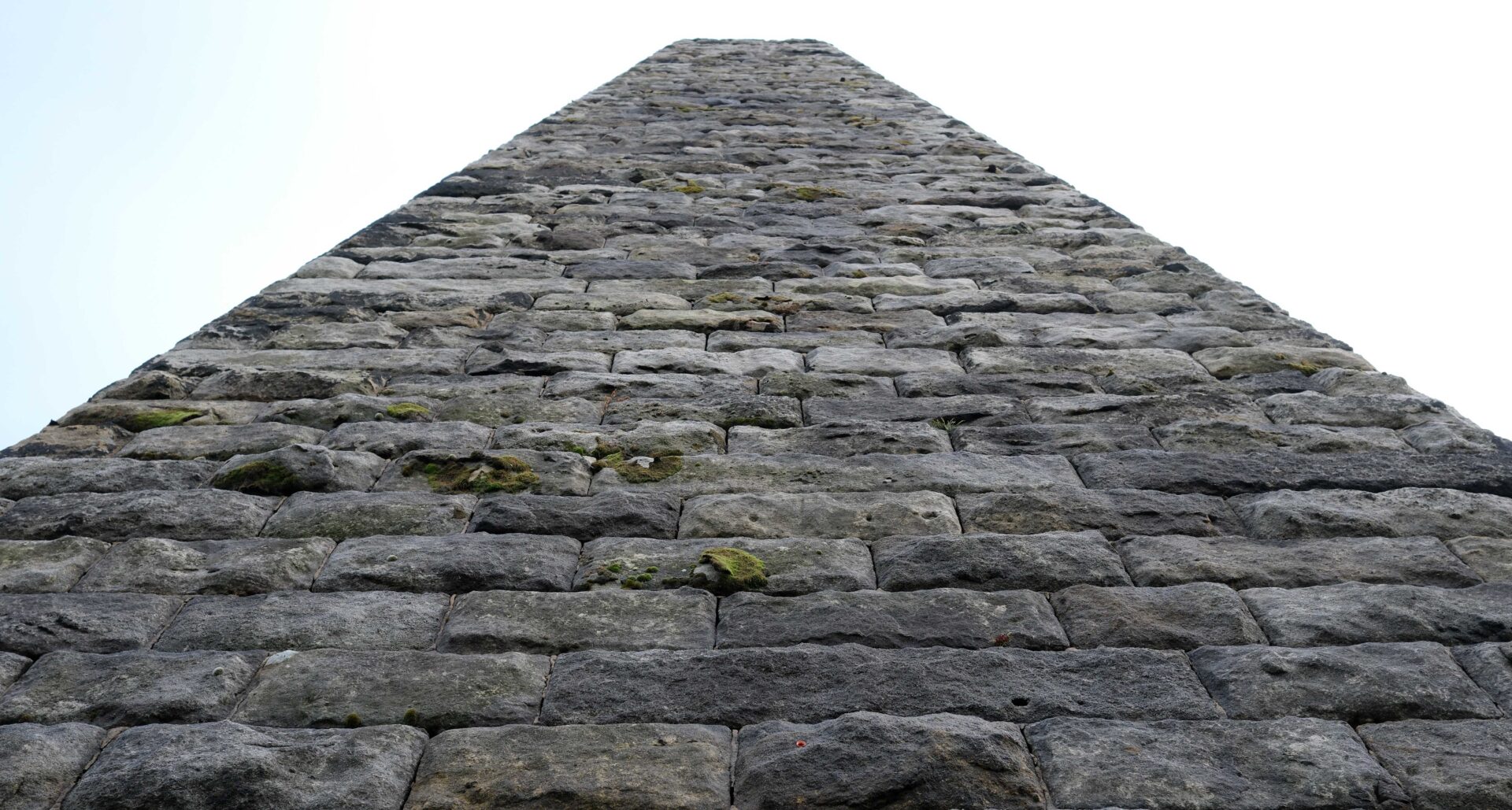
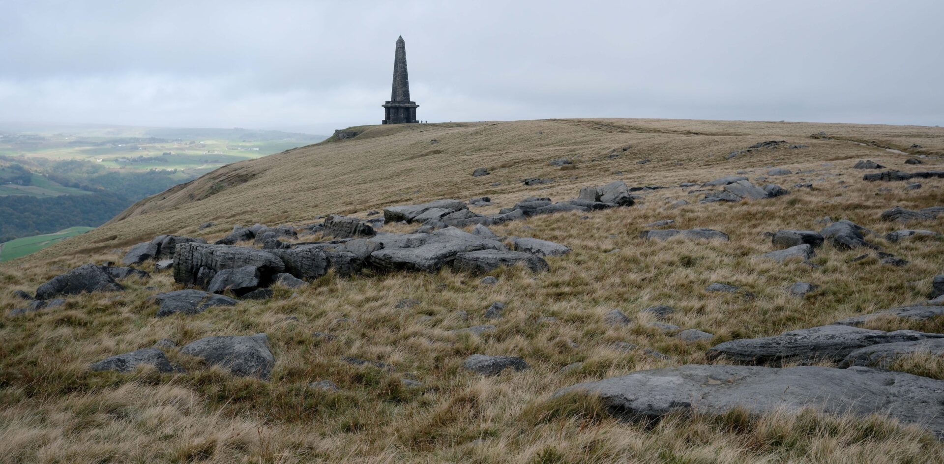
By the time we reached Lower Rough Head at 10.40am we were in sunshine and had good views ahead to Stoodley Pike monument. Open moorland followed and we reached Stoodley Pike around 11.10am, took out our head torches and headed straight up the pitch black staircase to the viewing balcony that runs around the monument about 30 feet above the ground.
It was originally erected in 1815 to commemorate the surrender of Paris to the Allies after the Napoleonic Wars but the 121 foot high monument had to be rebuilt in 1854.
There were good views all round from the balcony and after taking our photos we moved off 15 minutes later.
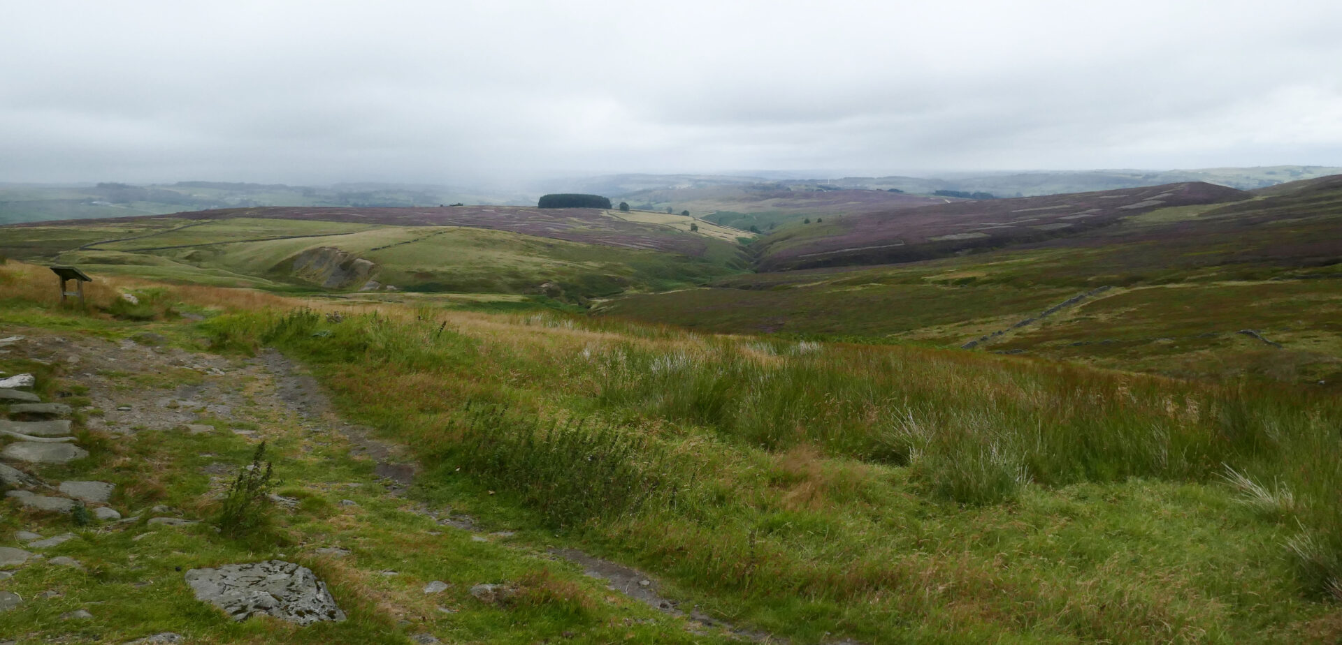
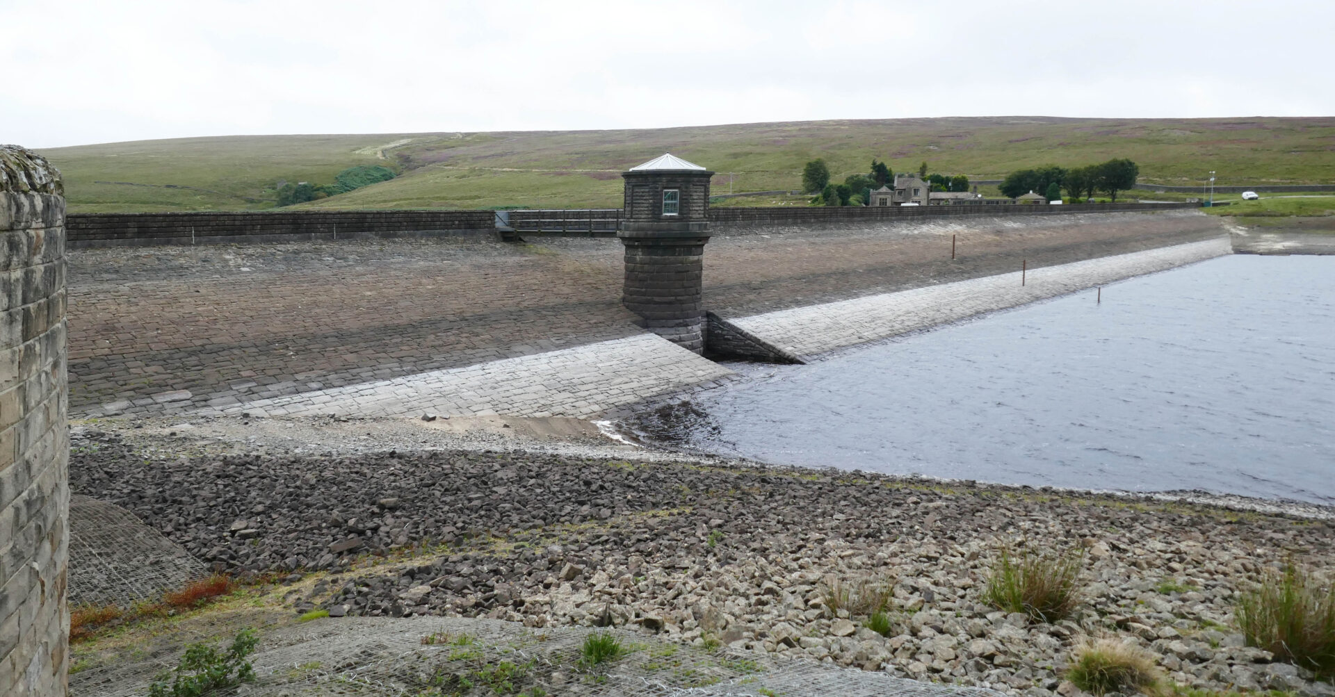
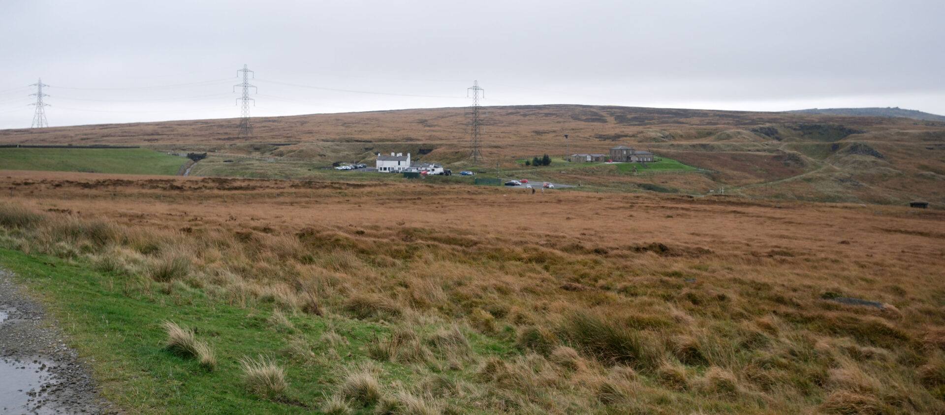
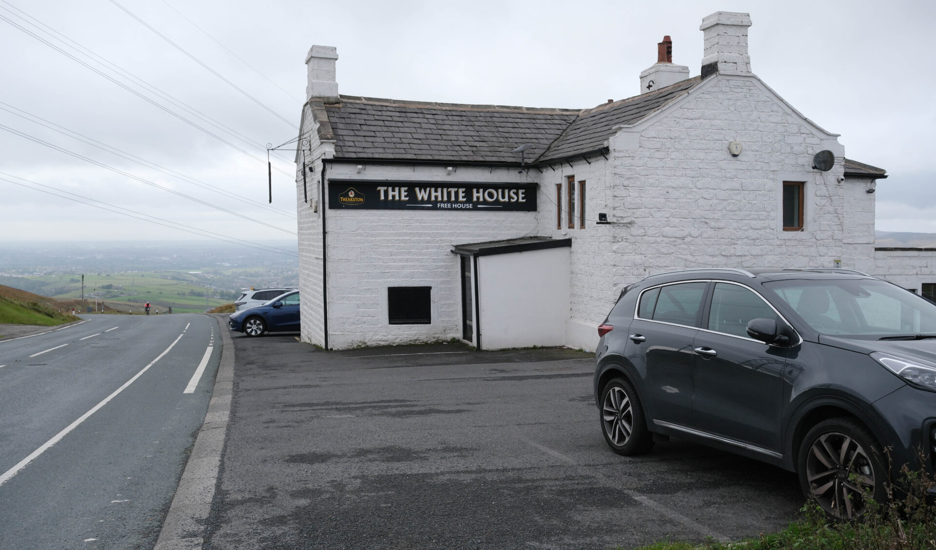
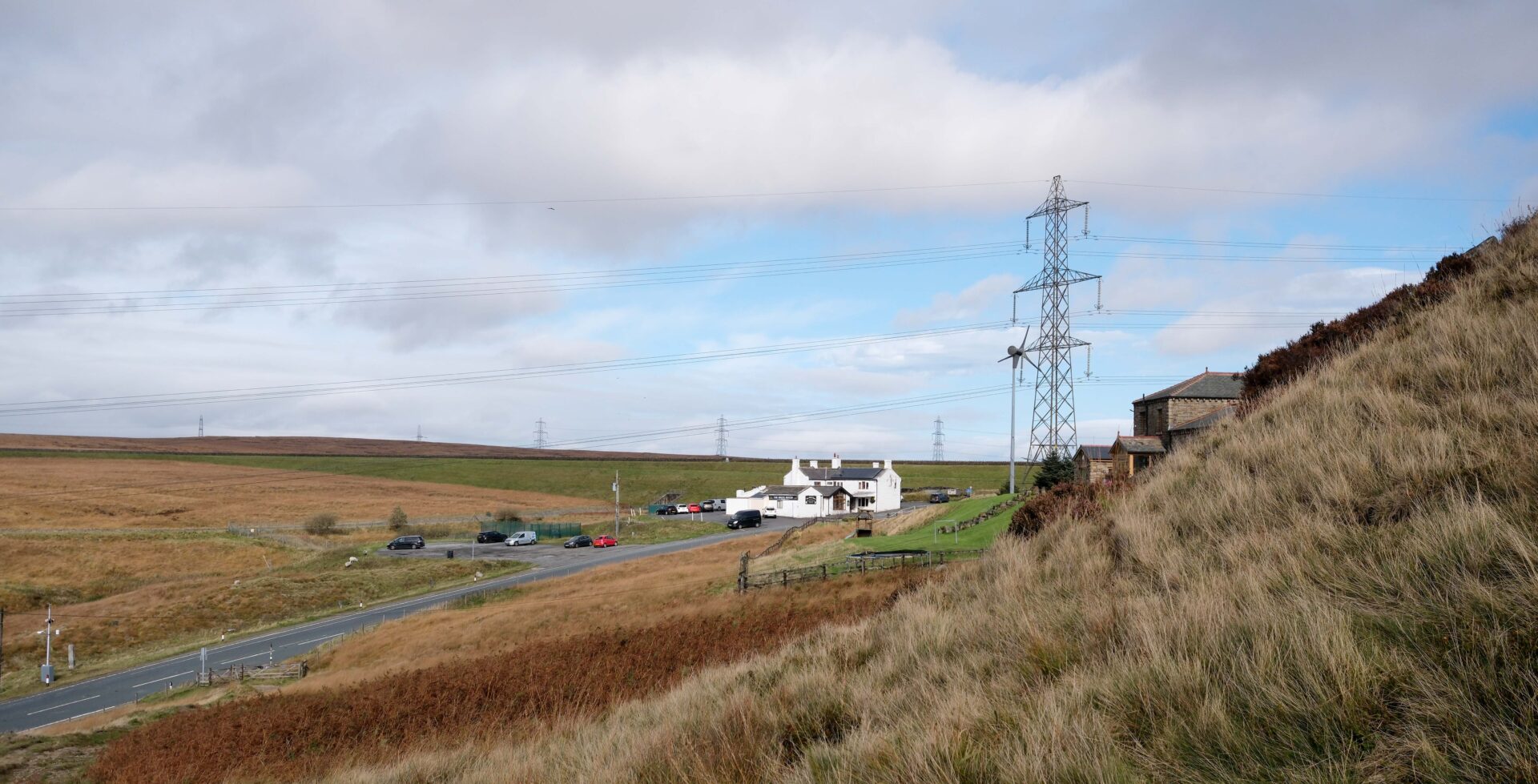
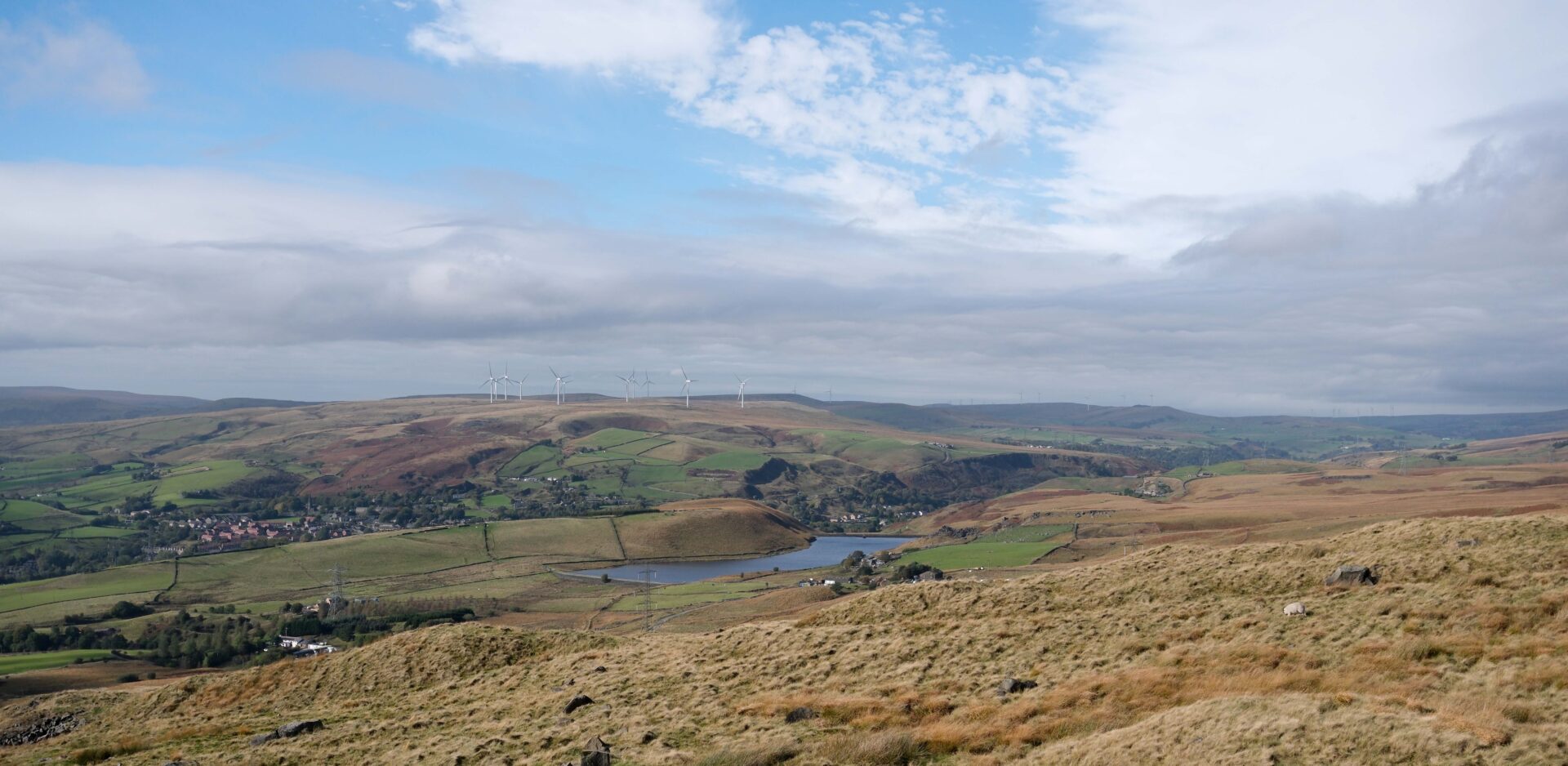
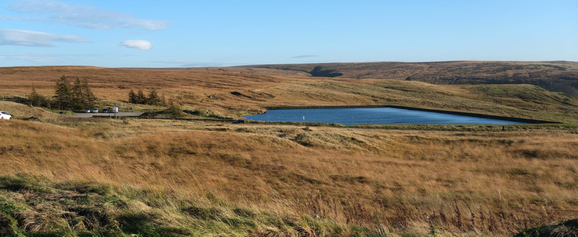
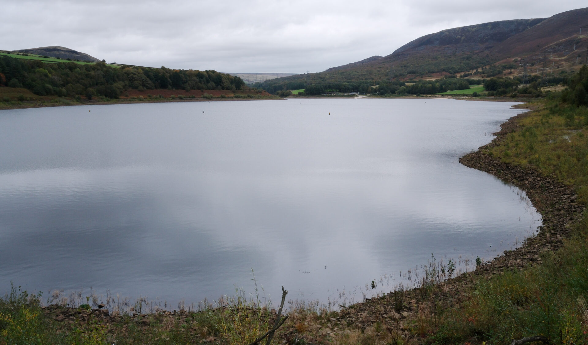
After about 2.5 miles of open moors we came to Warland Reservoir, the first of a series of reservoirs which looked quite low after the dry spring and early summer of 2025. It was easy walking from here on Reservoir tracks all the way to the A58 main road and the White House pub, our lunch break stop at 1.25pm.
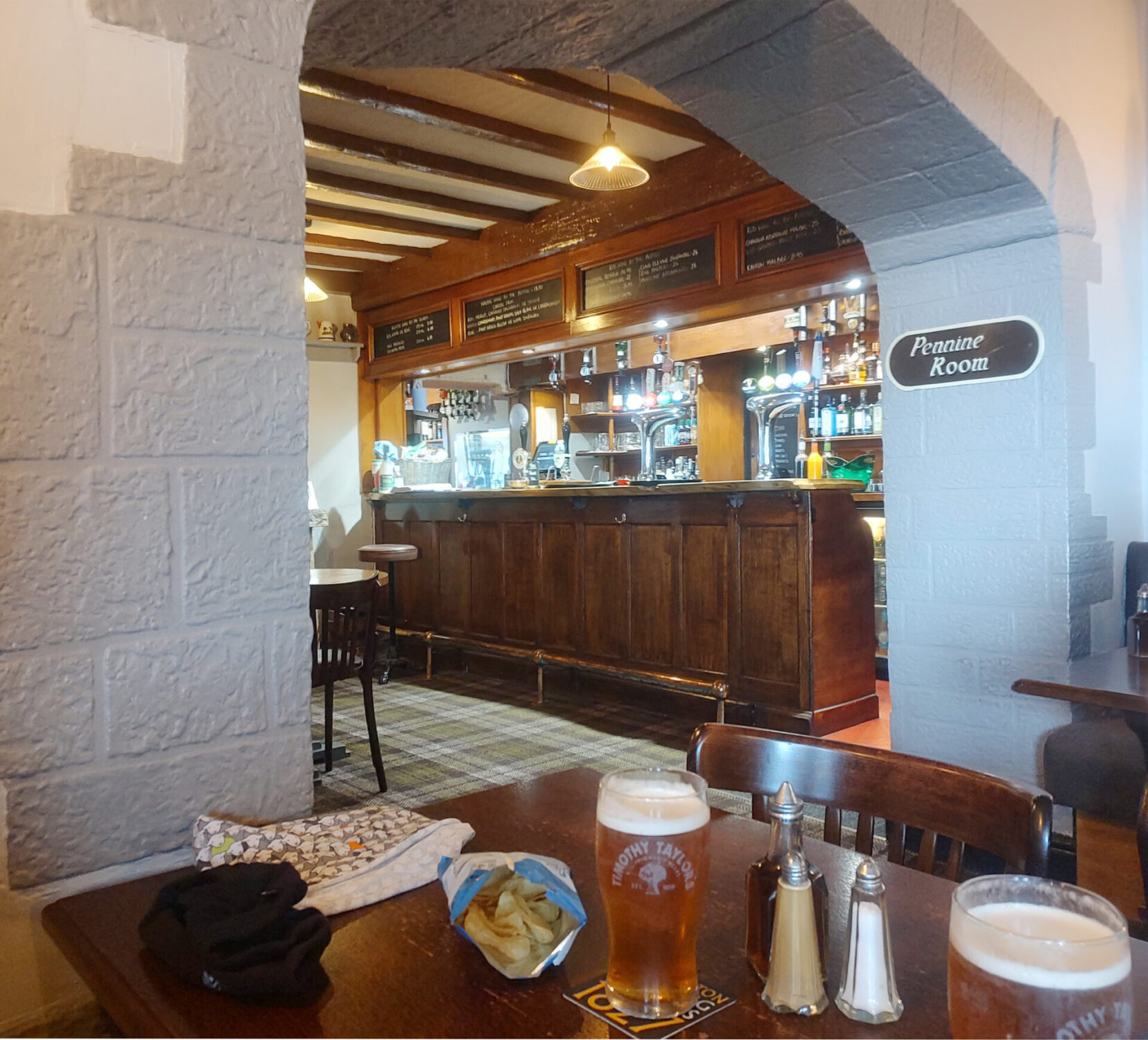
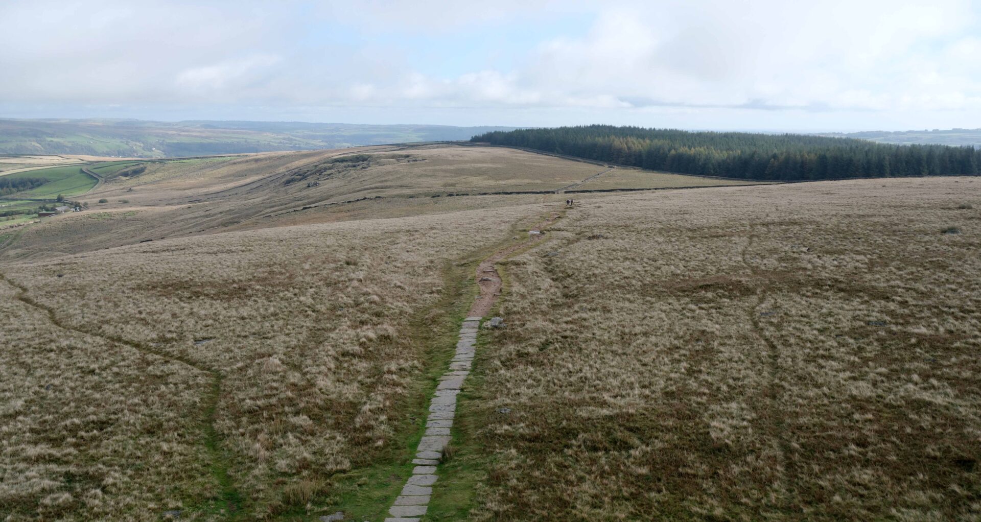
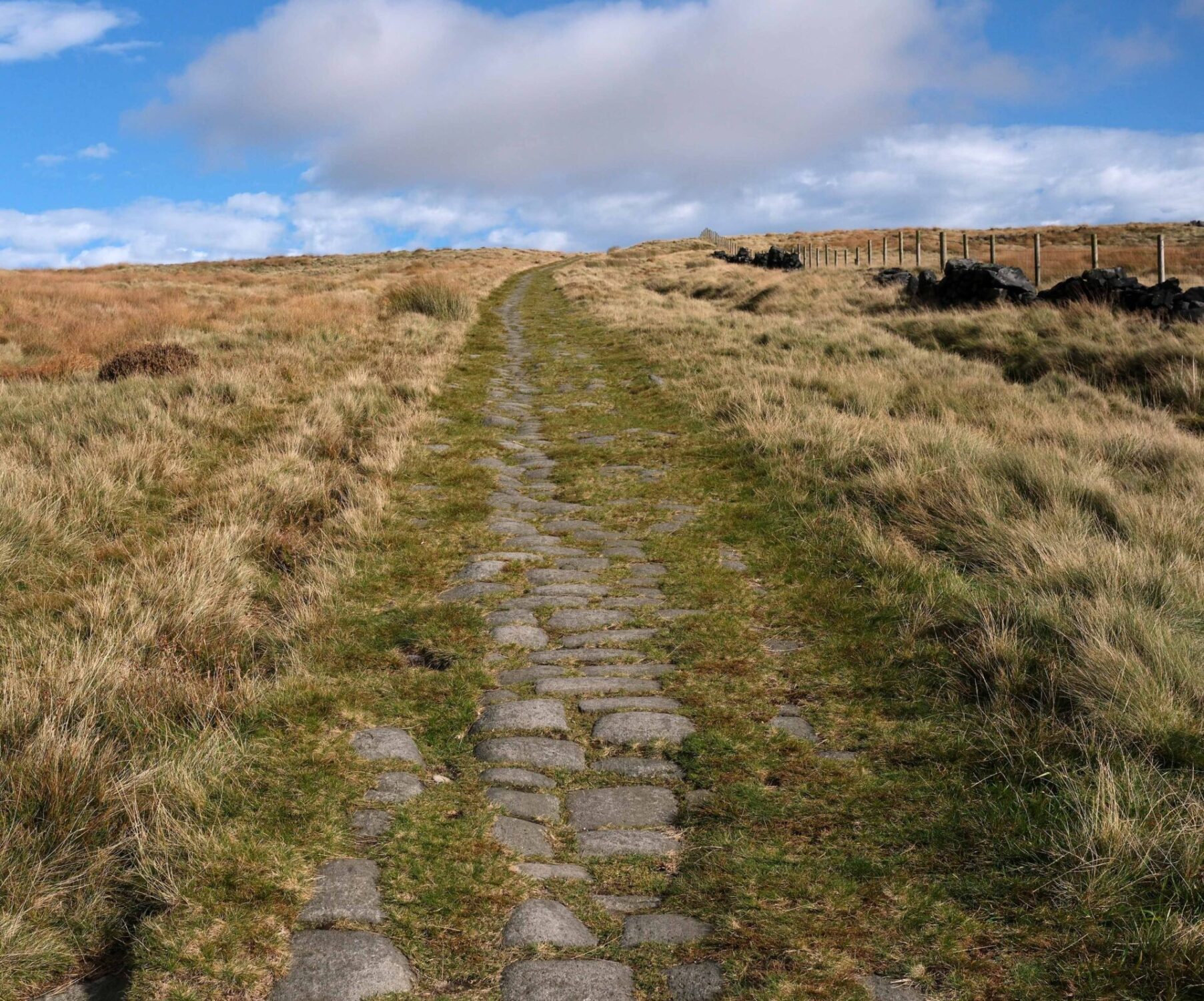
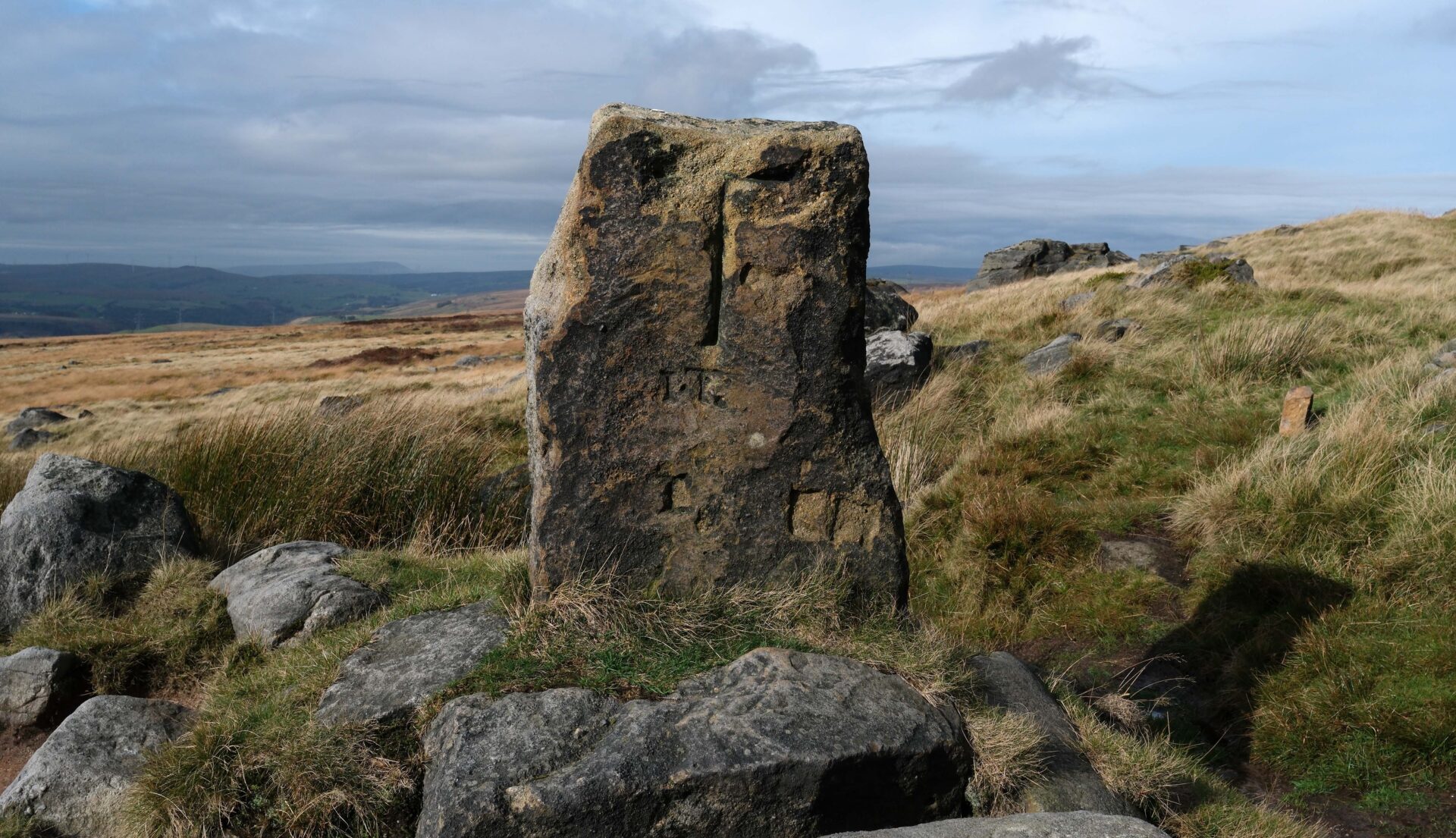
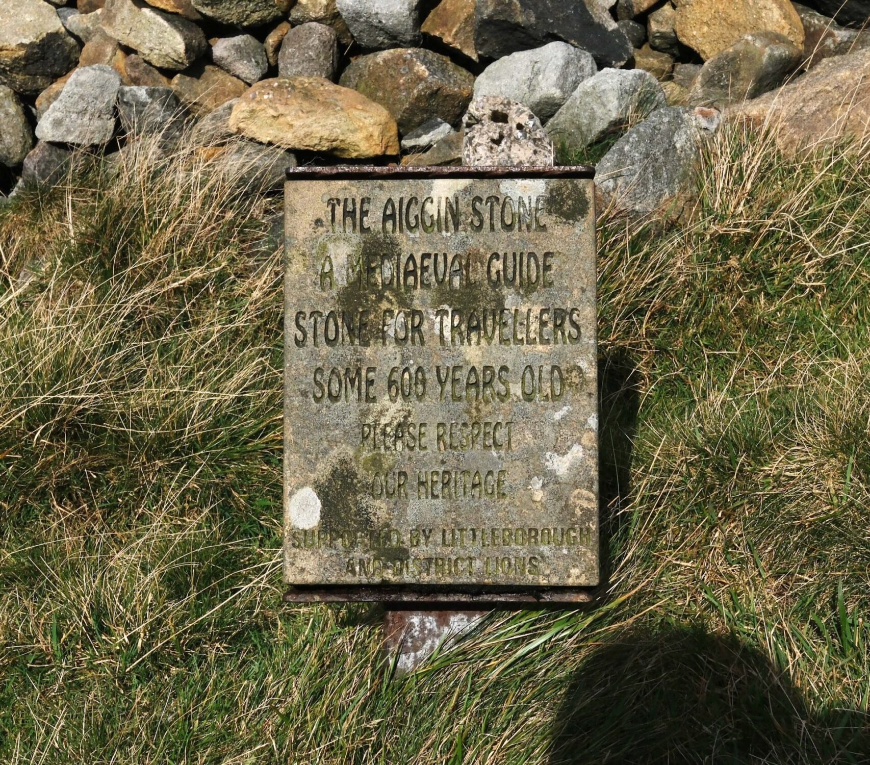
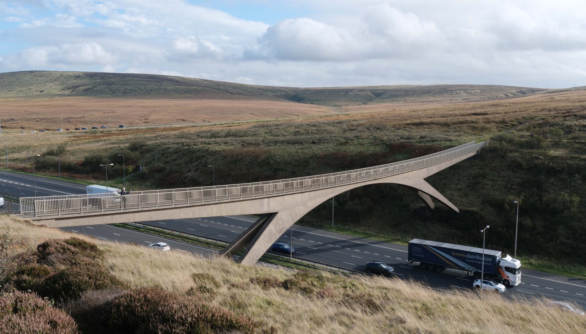
A bit before 2pm, after lunch of a pint and a bag of crisps each, we were off again over nearby Blackstone Edge. I remembered this stretch of moorland was dreadful in 1974, deep peat bogs and the clouds were down so we could only see a few yards ahead. In 2025 it was transformed, lots of grasses covering the black peat and the path was surfaced with stone slabs so we covered the ground very quickly. As we weren’t far from my home I have walked this area a few times and it’s always interesting to see the old worn packhorse road that some believe to date back to Roman times as well as a 600 year old medieval marker post. This little section ends with a pedestrian bridge over the M62 which we reached at 3.15pm.
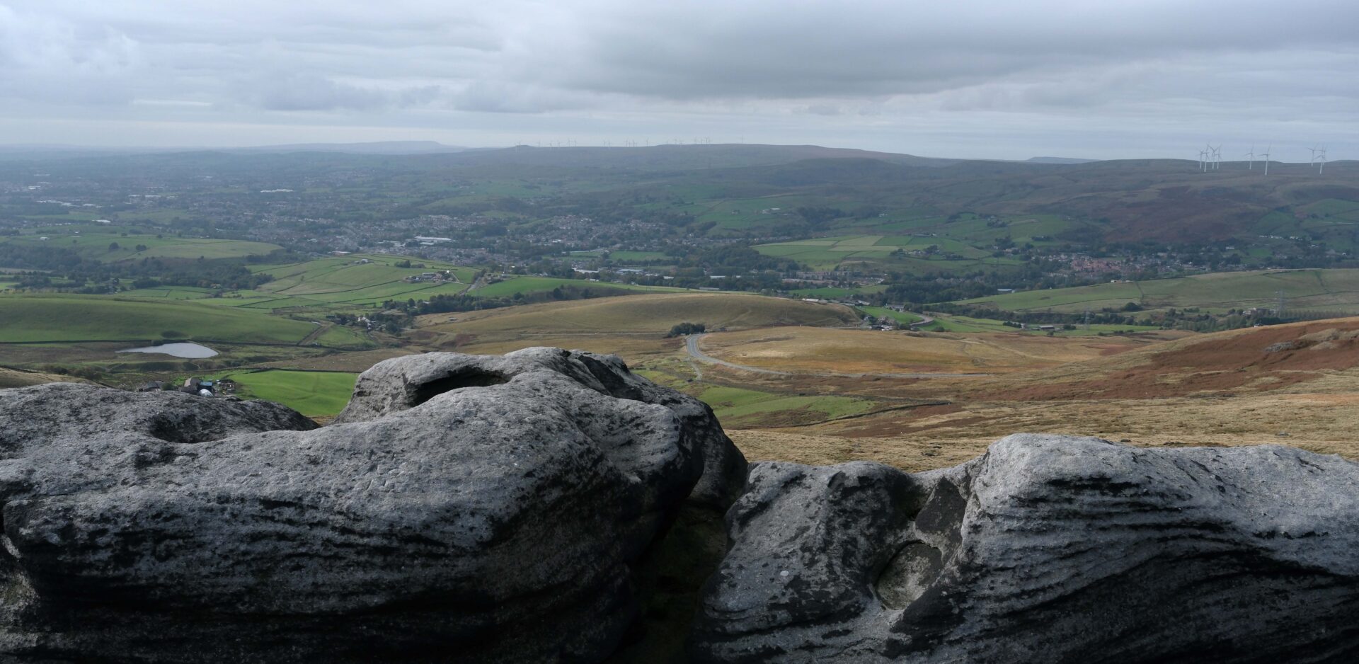
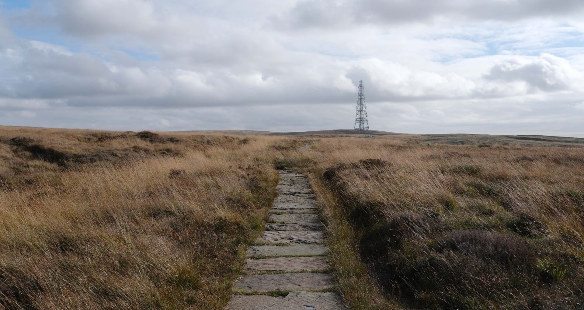
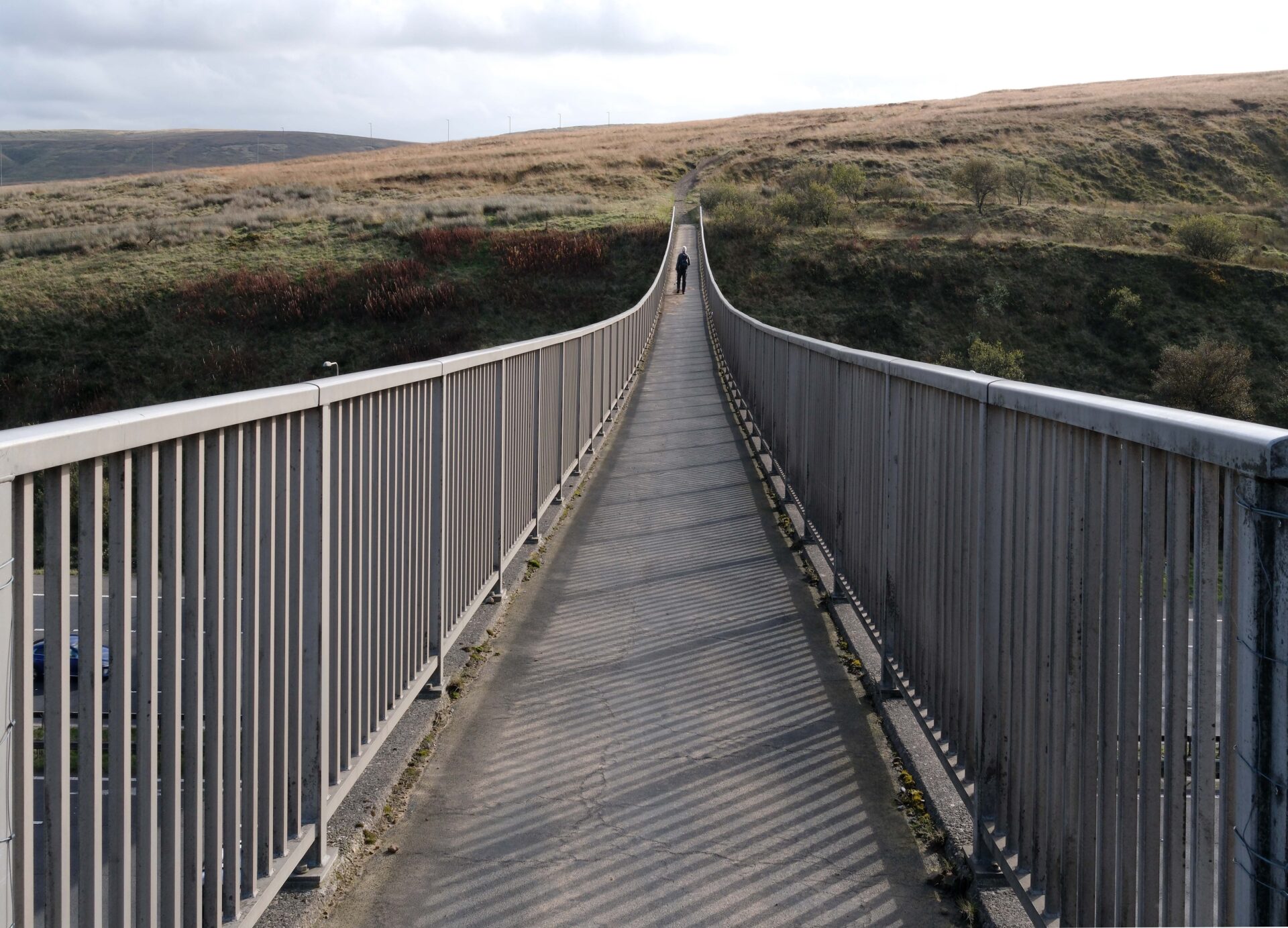
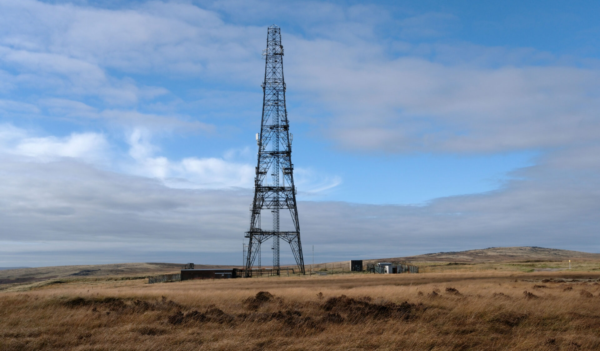
After crossing the ever busy M62 we walked past the old radio mast before heading over White HIll and Close Moss to reach Standedge Cutting car park at 5.15pm. Jan was there in the car to pick us up and whisk us off home to Tunstead Milton.
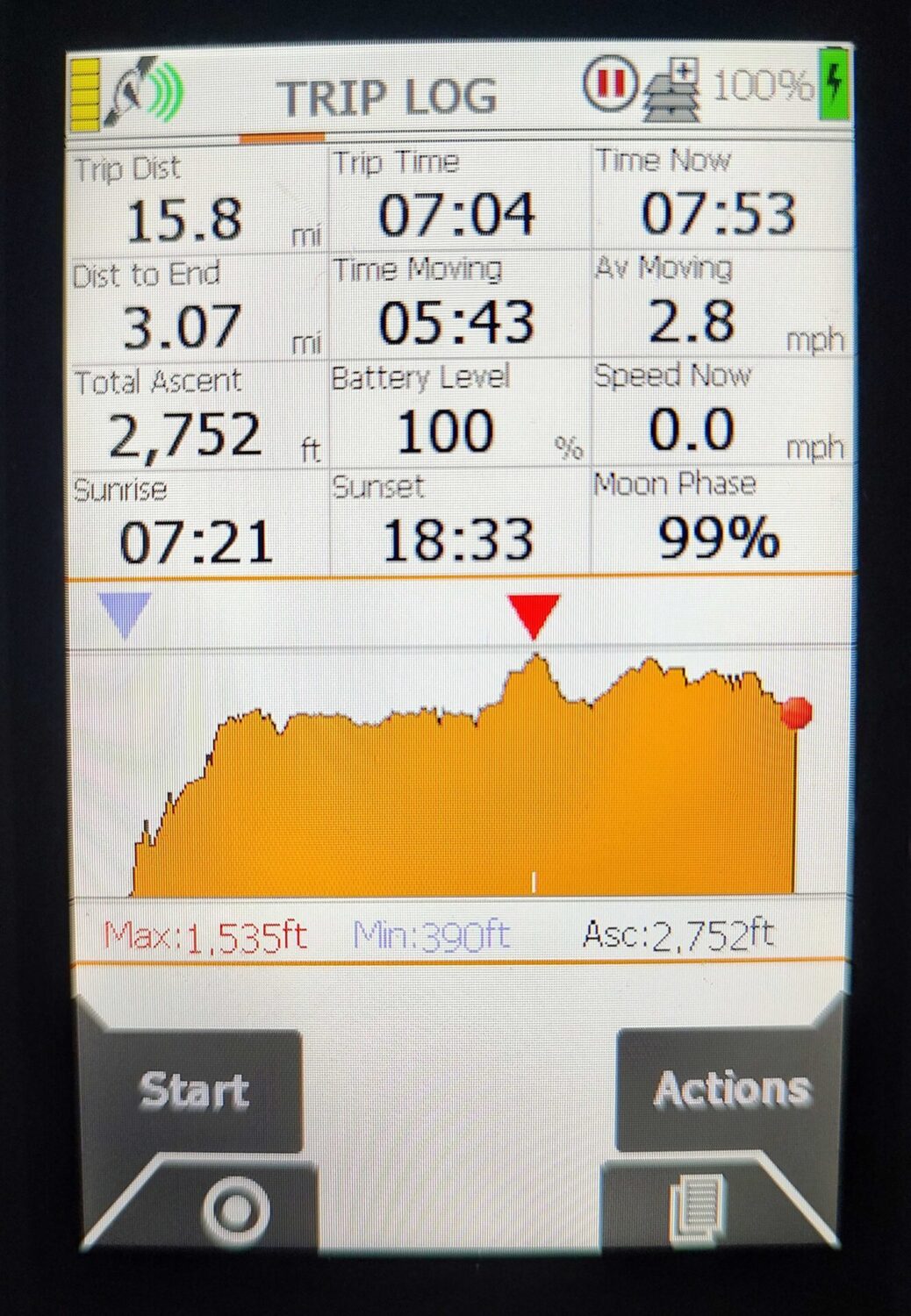
Just the 15.8 miles in 7h 20m today over a lot of windswept moorland but mostly on good tracks so not the struggle it used to be over miles of peat bog. It was a dry day with quite a bit of sunshine, except for the first few minutes.
Day 19 Standedge Cutting to Torside Reservoir 12.9 miles 6h 11m
Weather: dull with a cold wind but dry.
Jan drove us back to Standedge Cutting car park after breakfast. It was about 24 miles and a bit under an hour. We put on rucksacks, adjusted straps, etc., Al did some very strange warm-ups in the car park and then we started walking at about 10.25am.
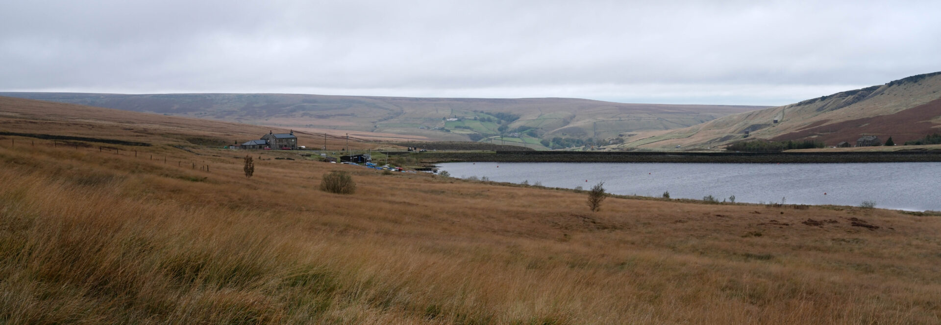
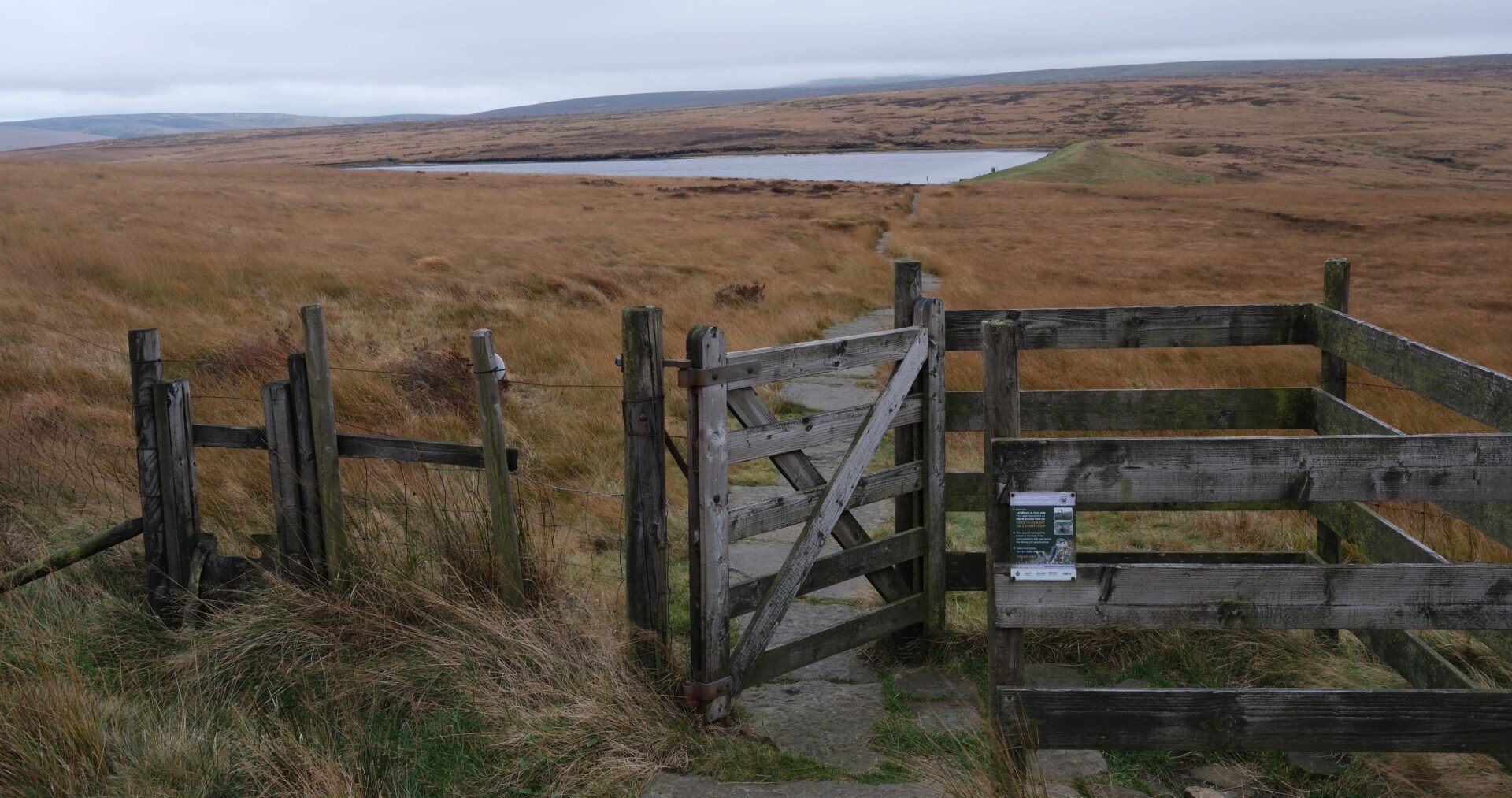
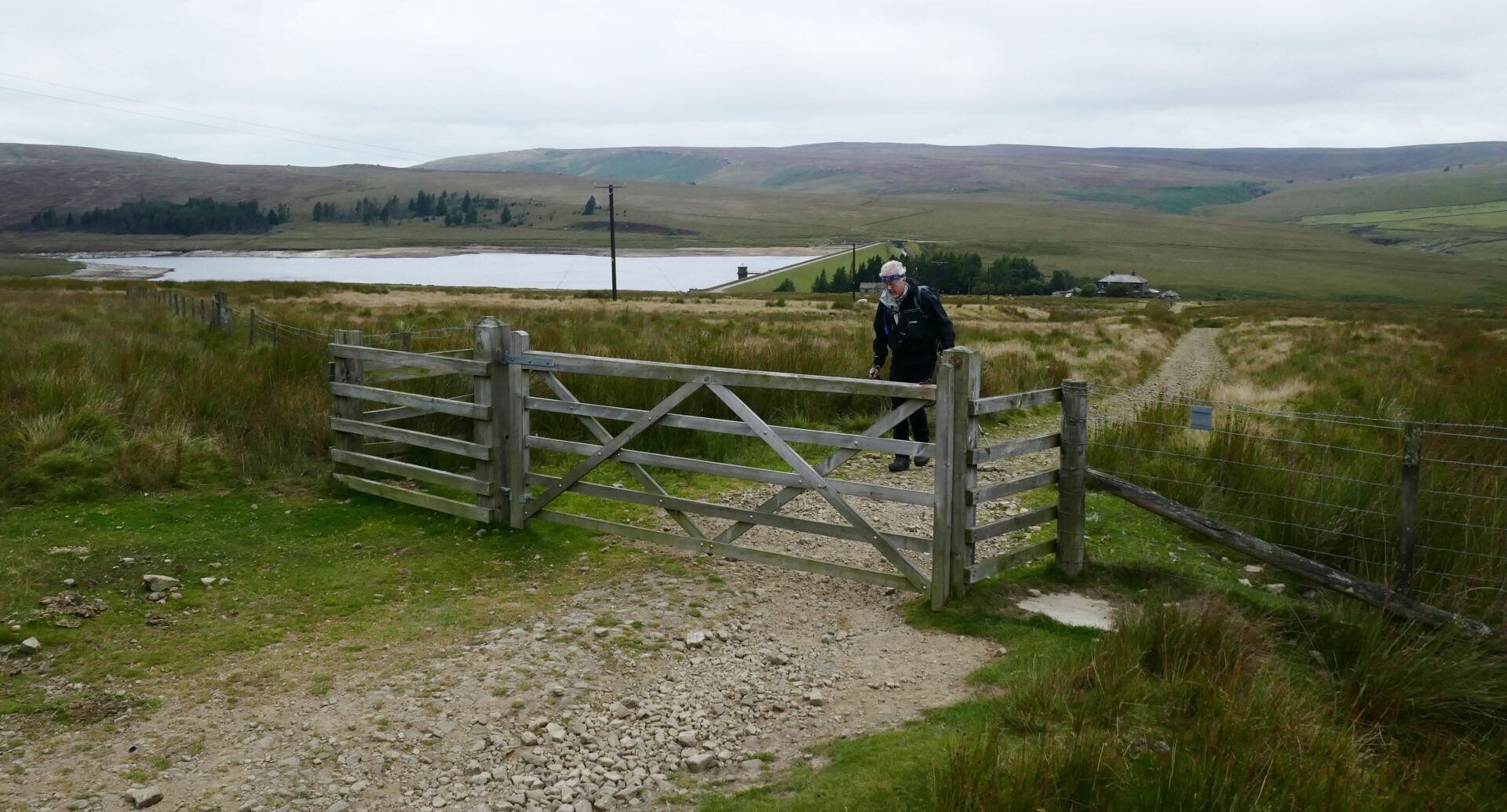
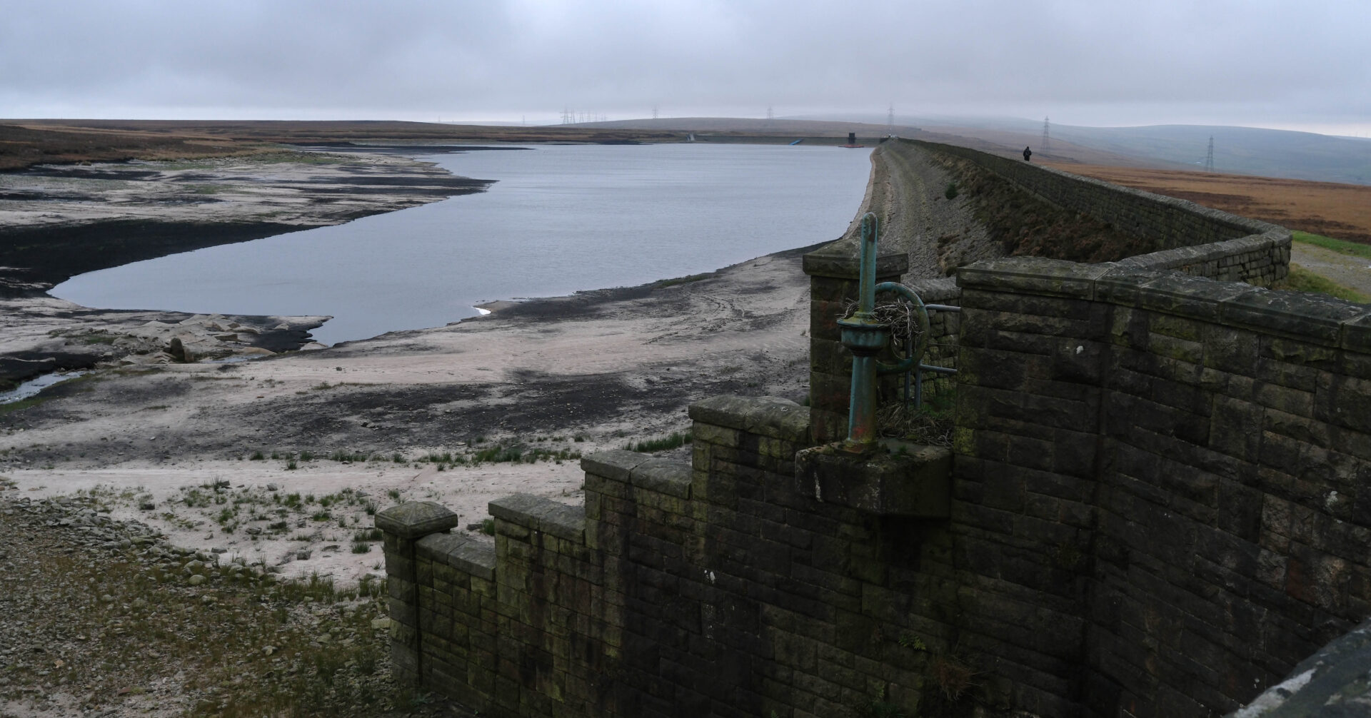
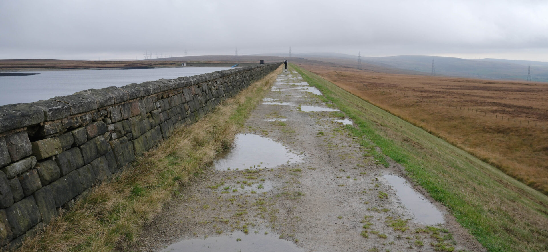
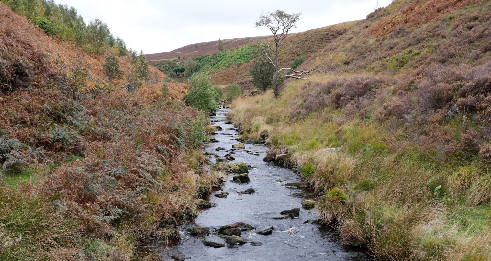
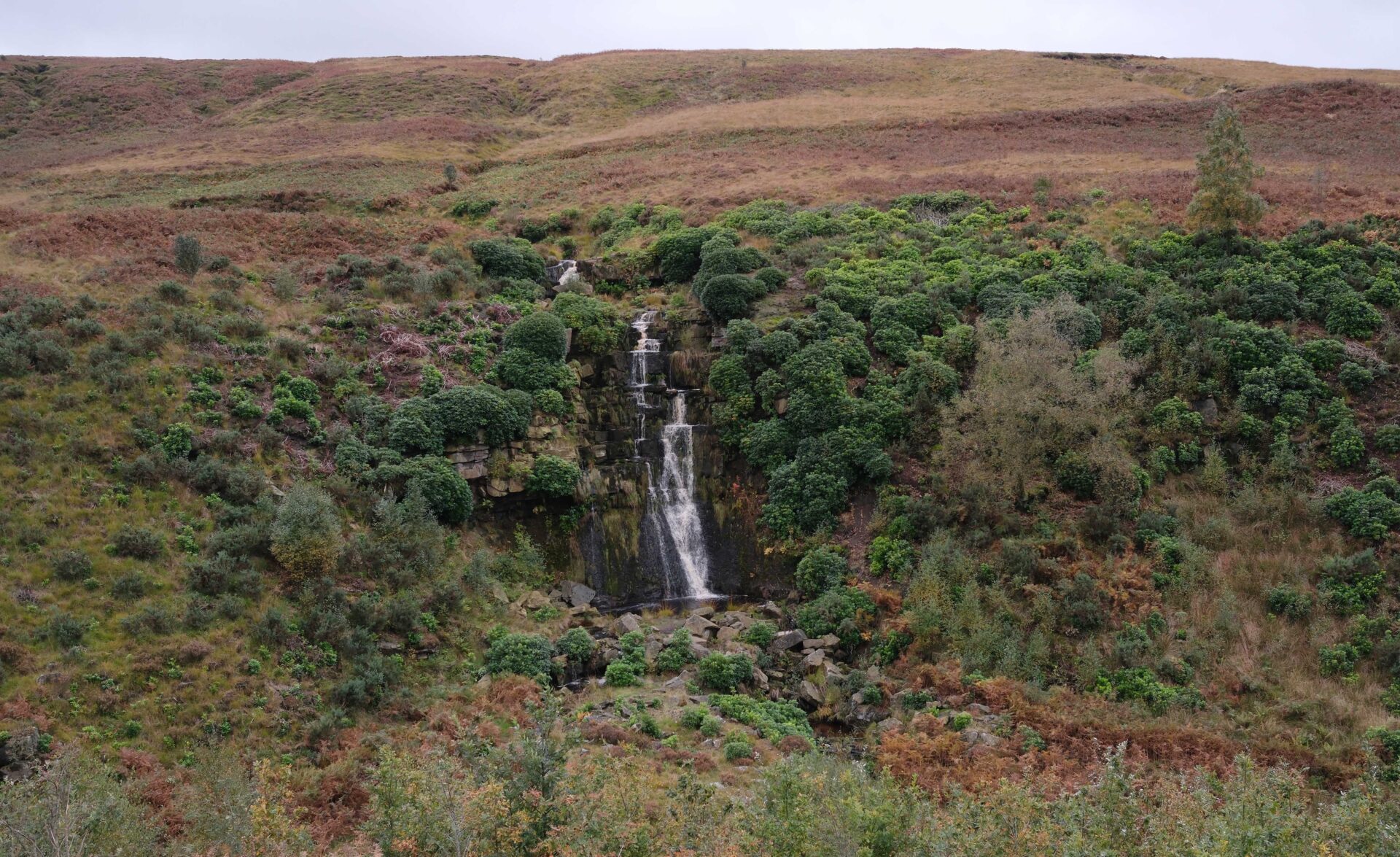
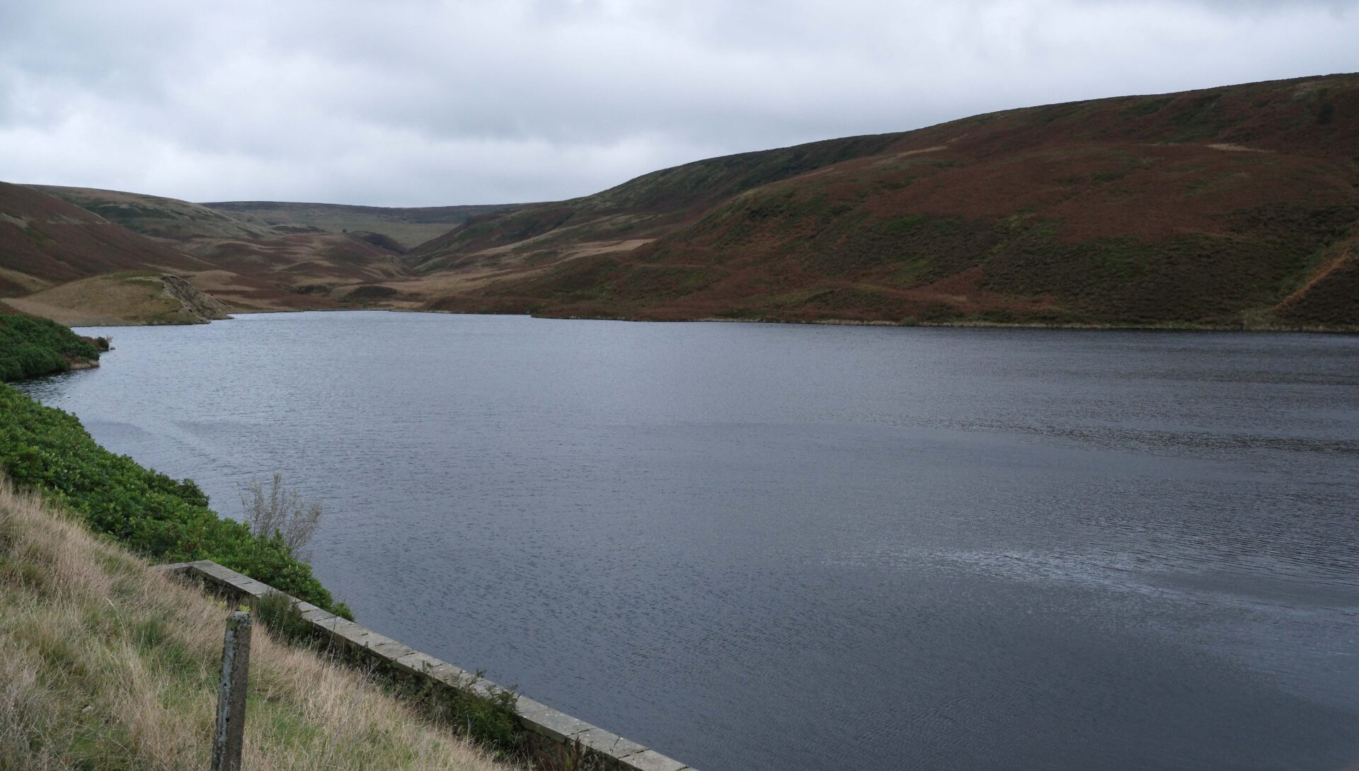
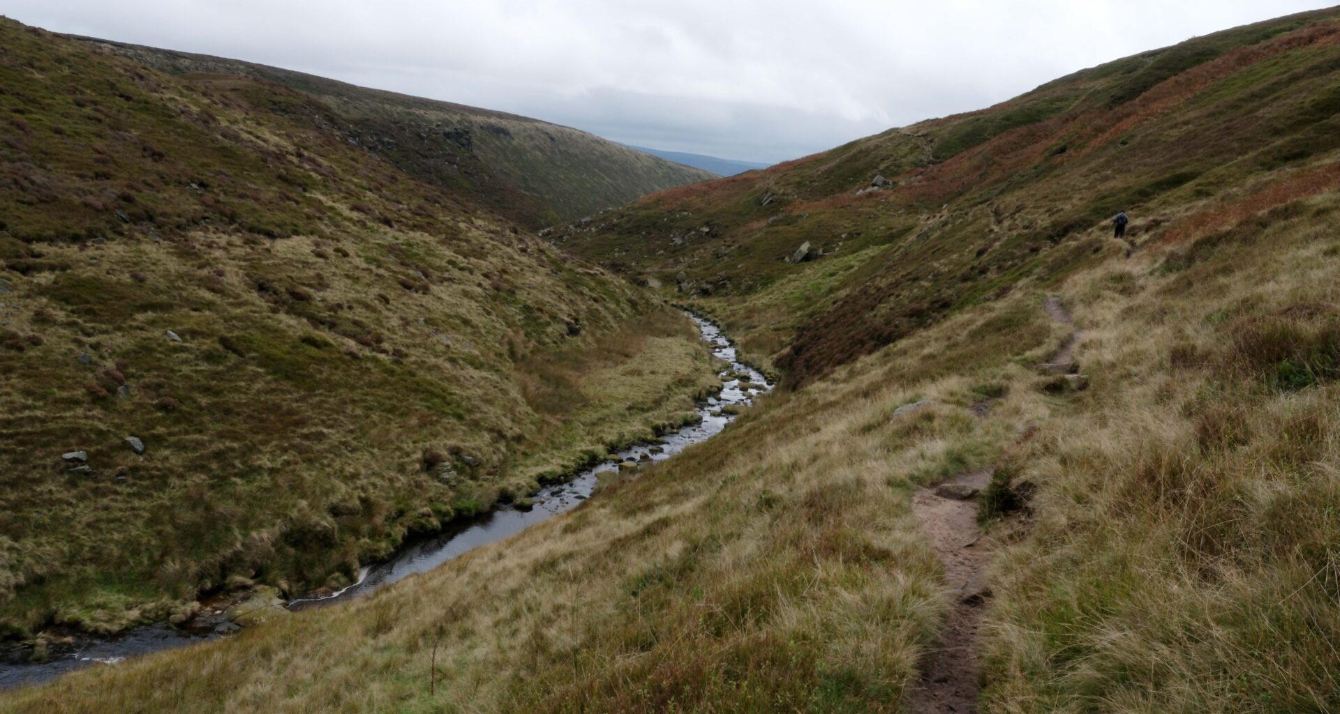
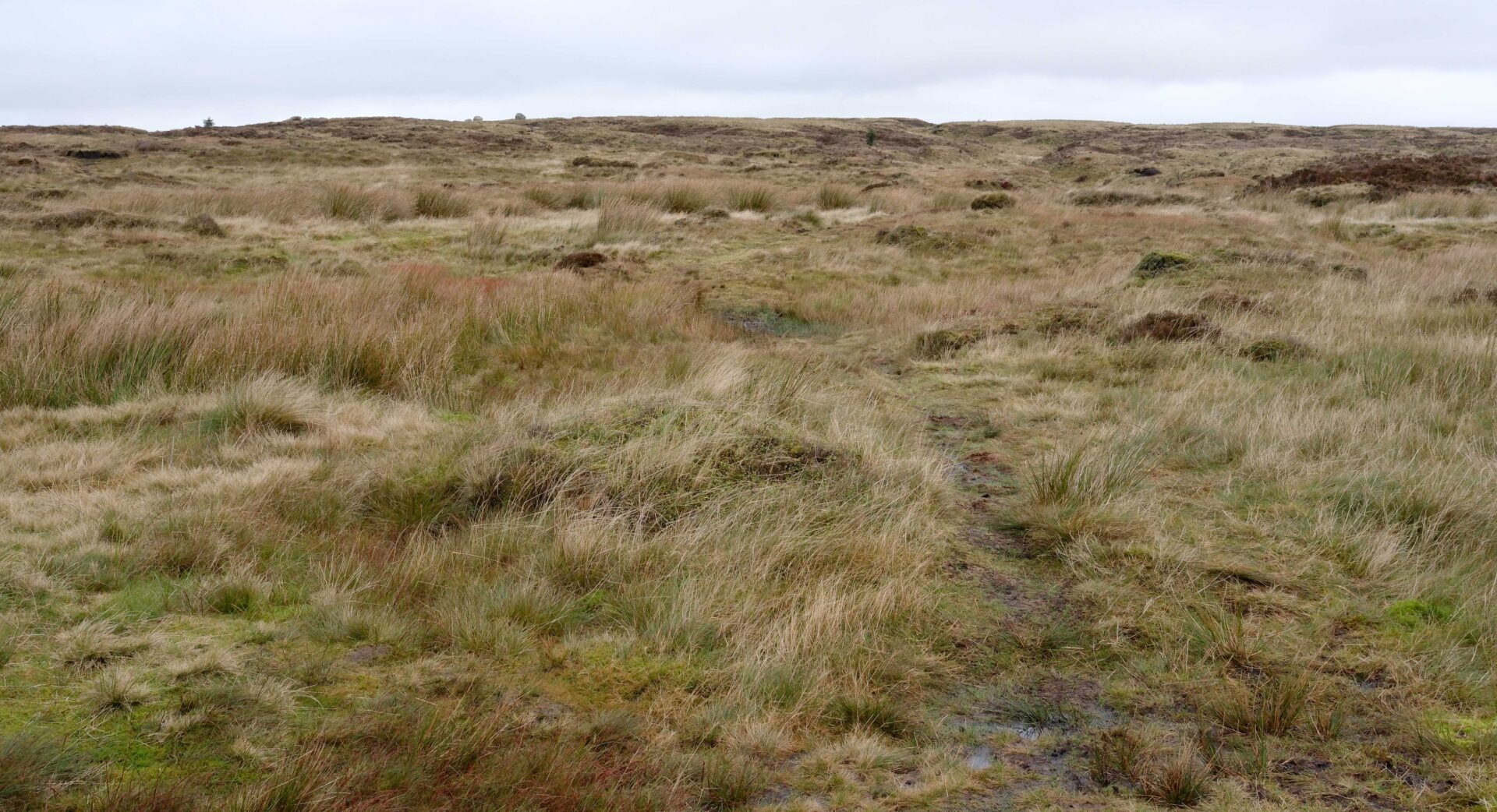
After a couple of miles the open moor gave way to the narrower views in Blakely Clough and a few waterfalls. This then led us down to a stream and on to Wessenden Reservoir. At the dam we picked up a good track that took us up past Wessenden Head Reservoir to the A635 road at about 12.30pm.
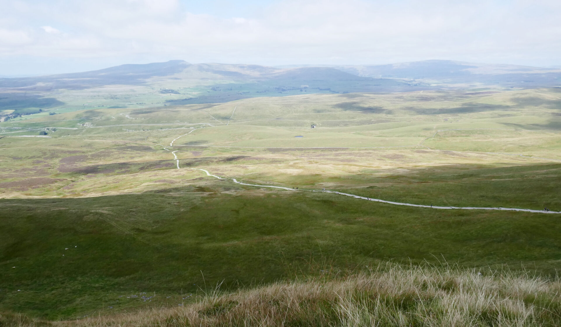
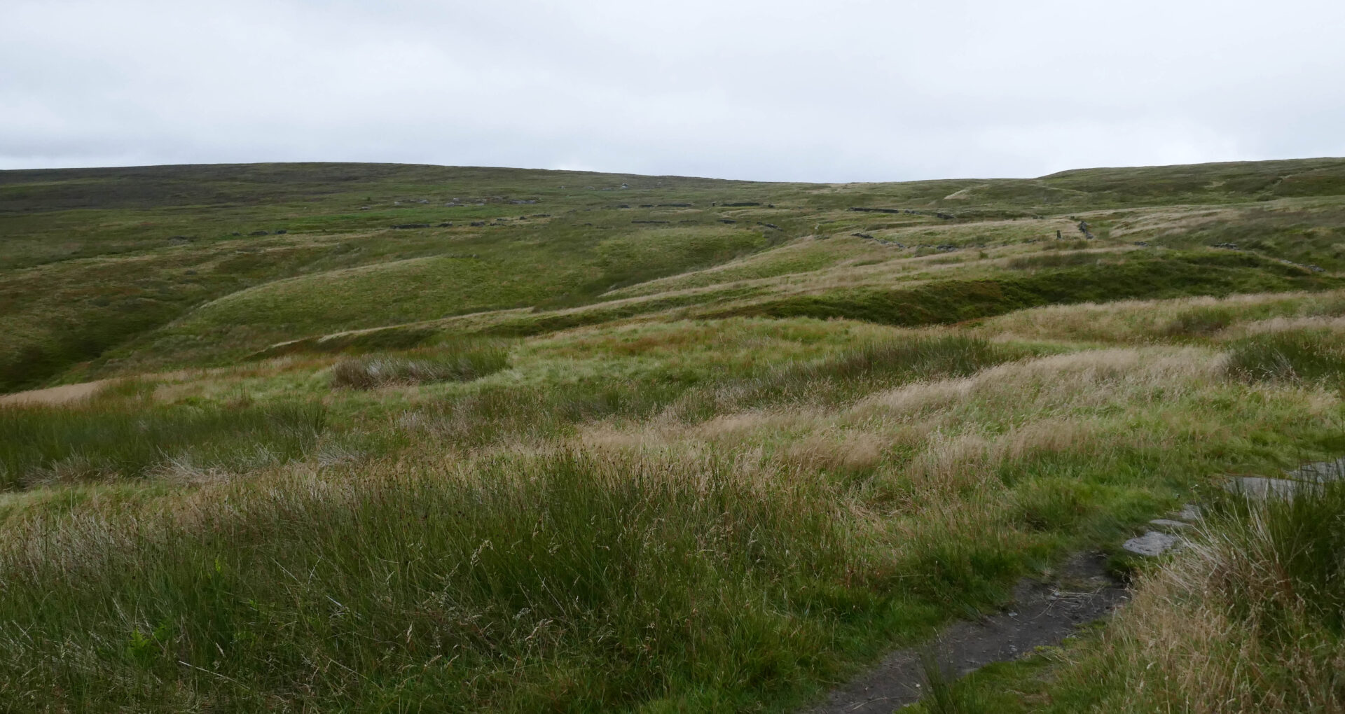
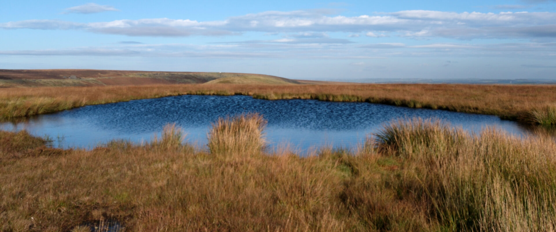
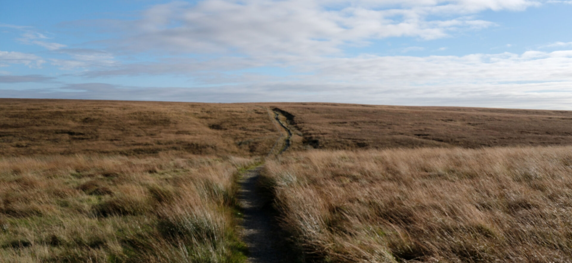
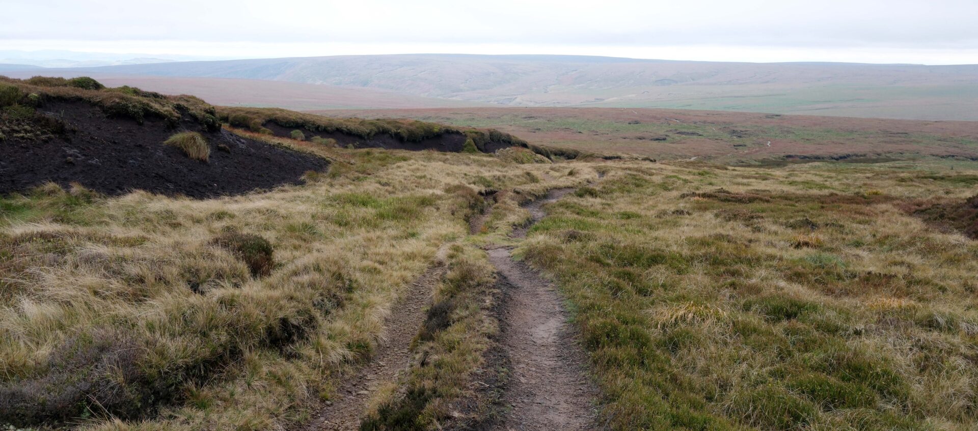
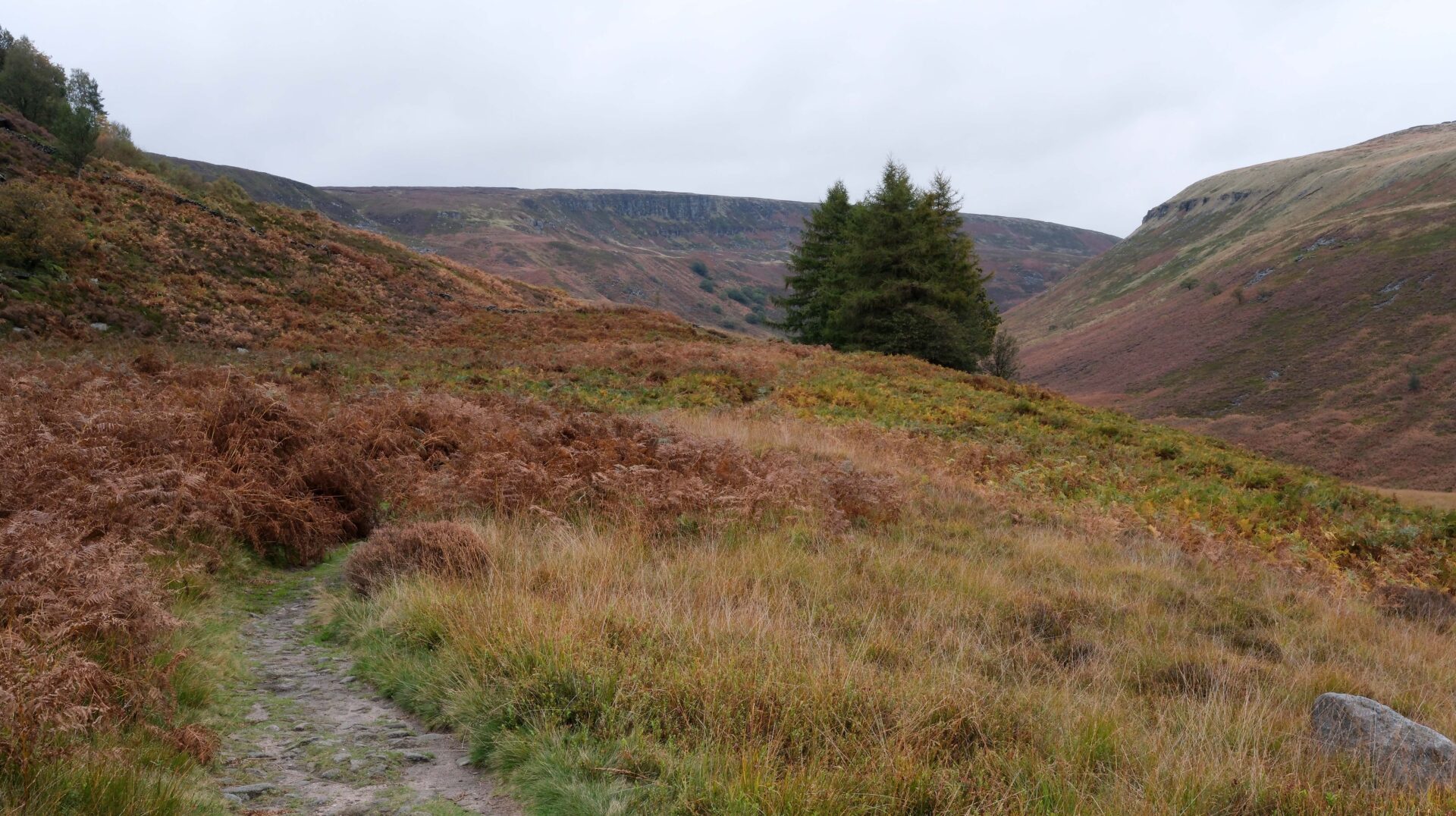
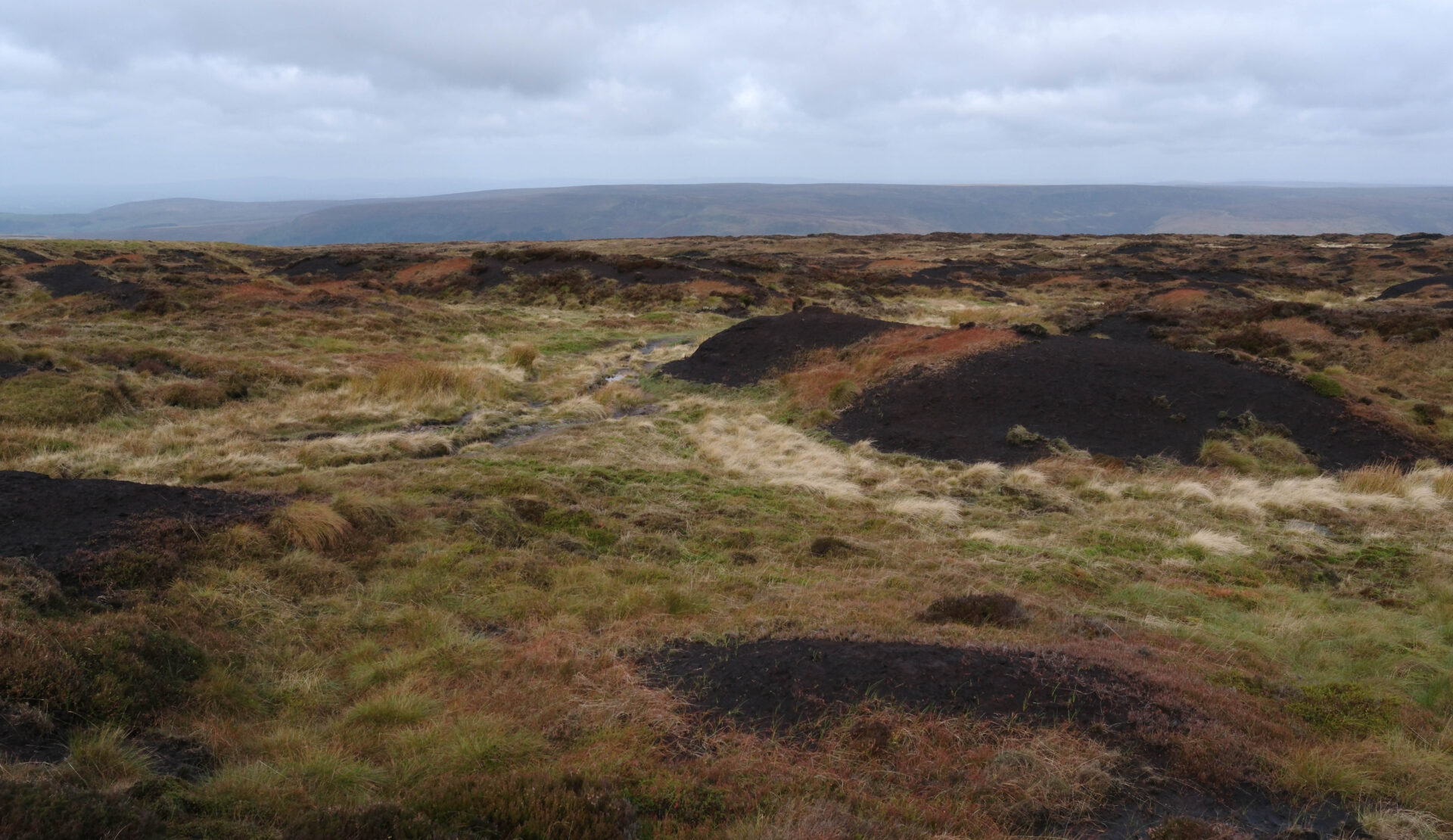
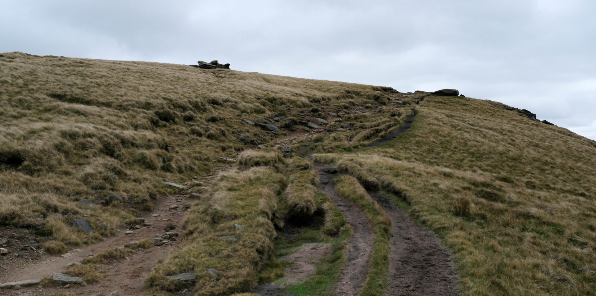
Next came the moors leading to Black Hill, notorious in the 1970’s for being impossible to reach the summit trig point because of the deep wet peat bog that surrounded it during and after wet spells. It’s fully tamed now, in fact the whole Pennine Way route across the moor is!
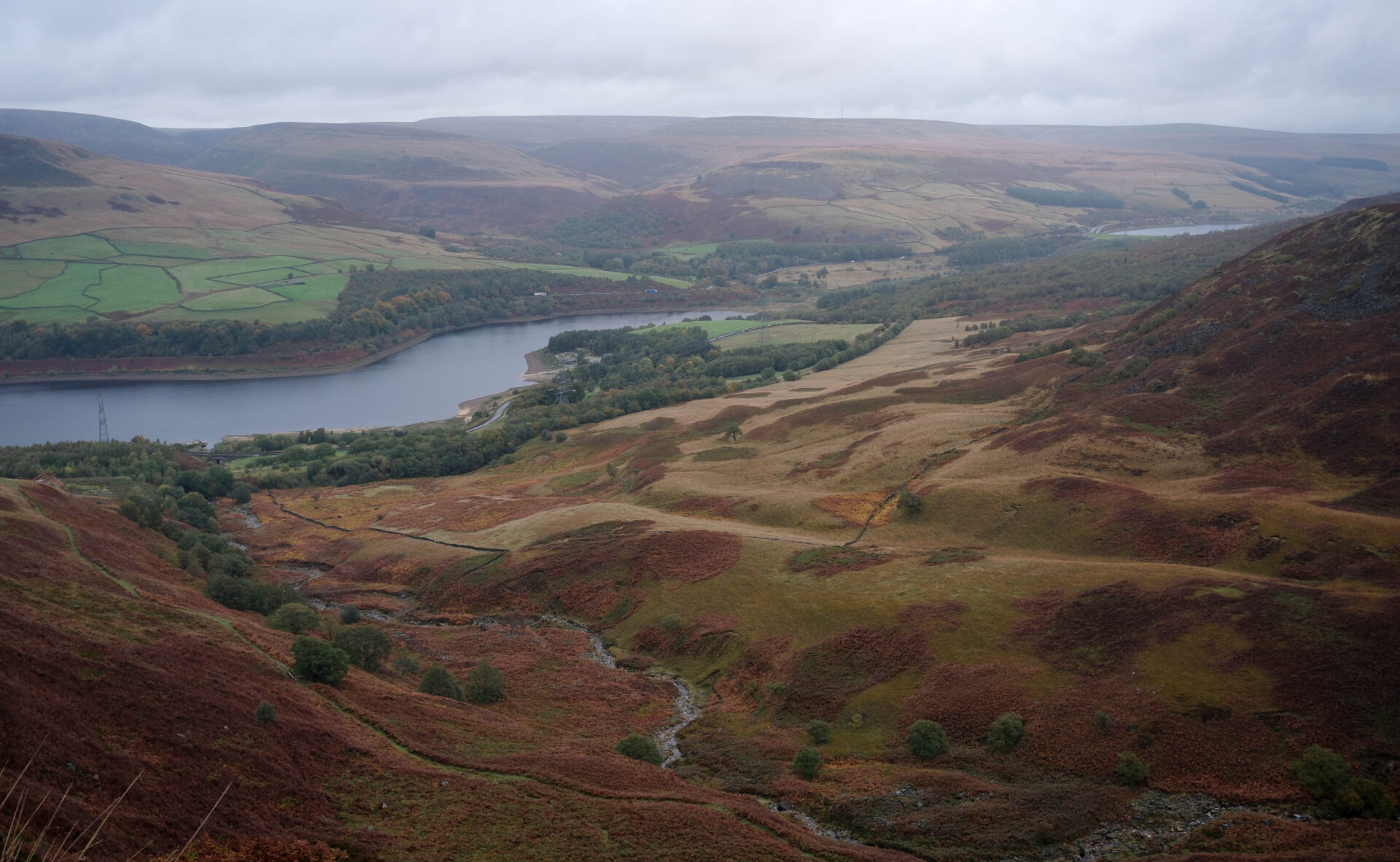
By the time we reached Upper Crowden Great Brook at 2.30pm it felt as though we were into the final straight for this penultimate day on the Pennine Way. In fact we still had another 2 hours to go to our pick up point with Jan on the other side of Torside reservoir.
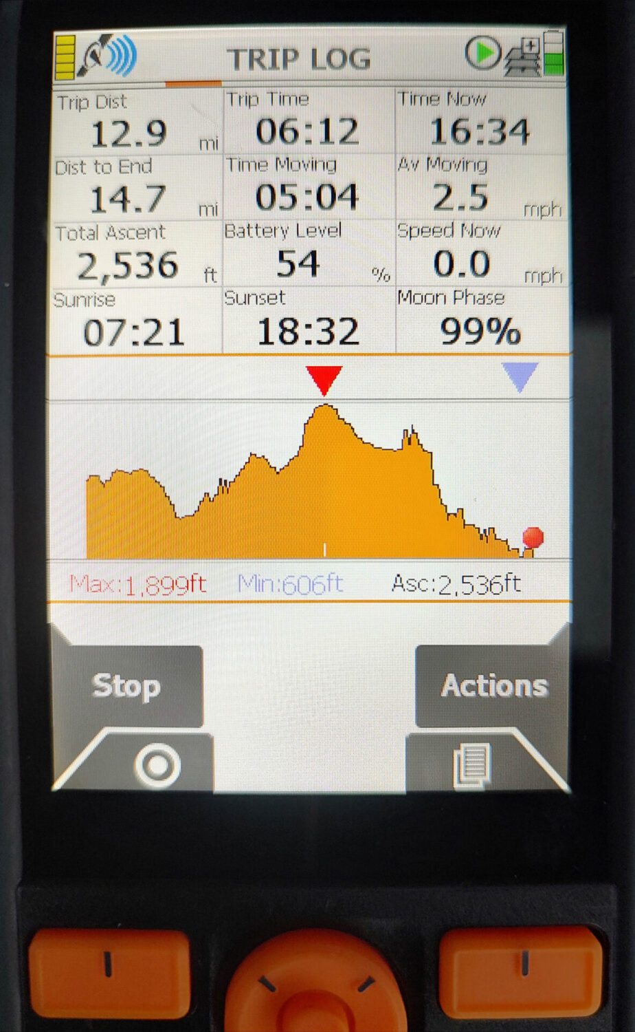
In all, 12.9 miles and about 2500ft of ascent in a bit over 6 hours from Standedge cutting to the south side of Torside Reservoir, with only a few minutes break for a quick lunch.
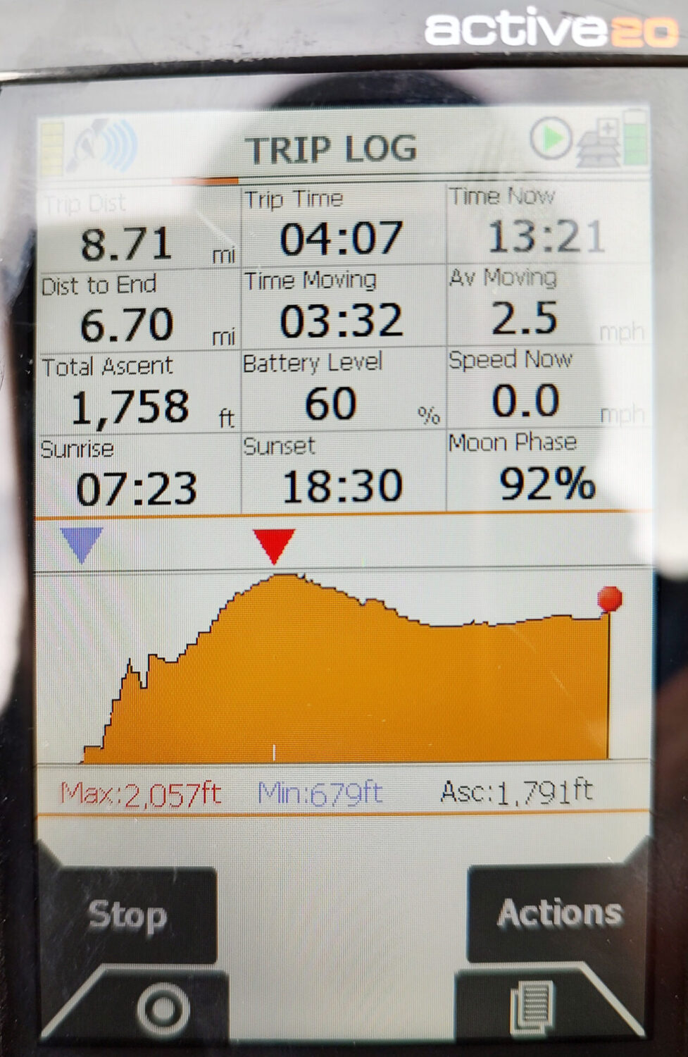
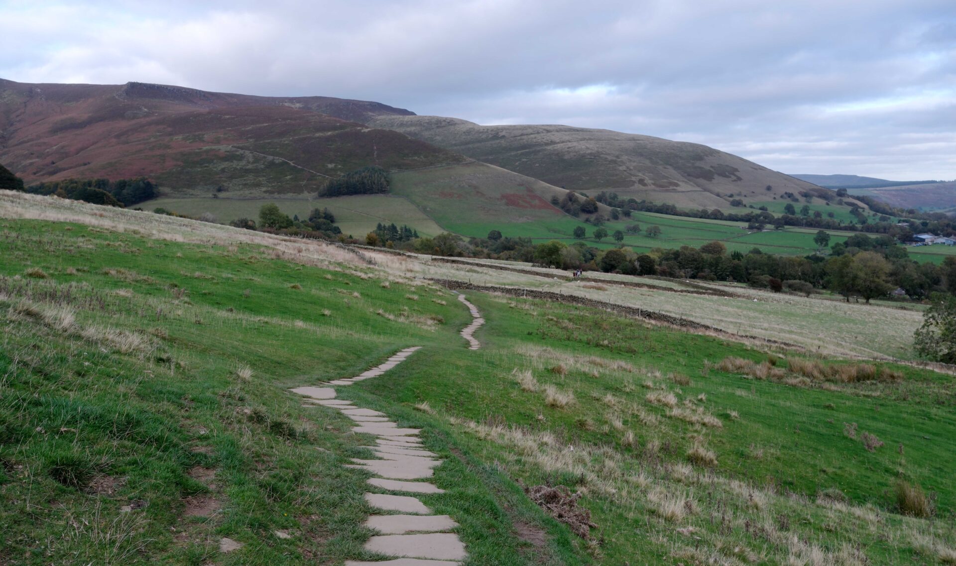
Day 20 Torside Reservoir to Edale 15.9 miles 7h 50m
Weather: mainly dull with the odd sunny spell, light wind. Dry all day.
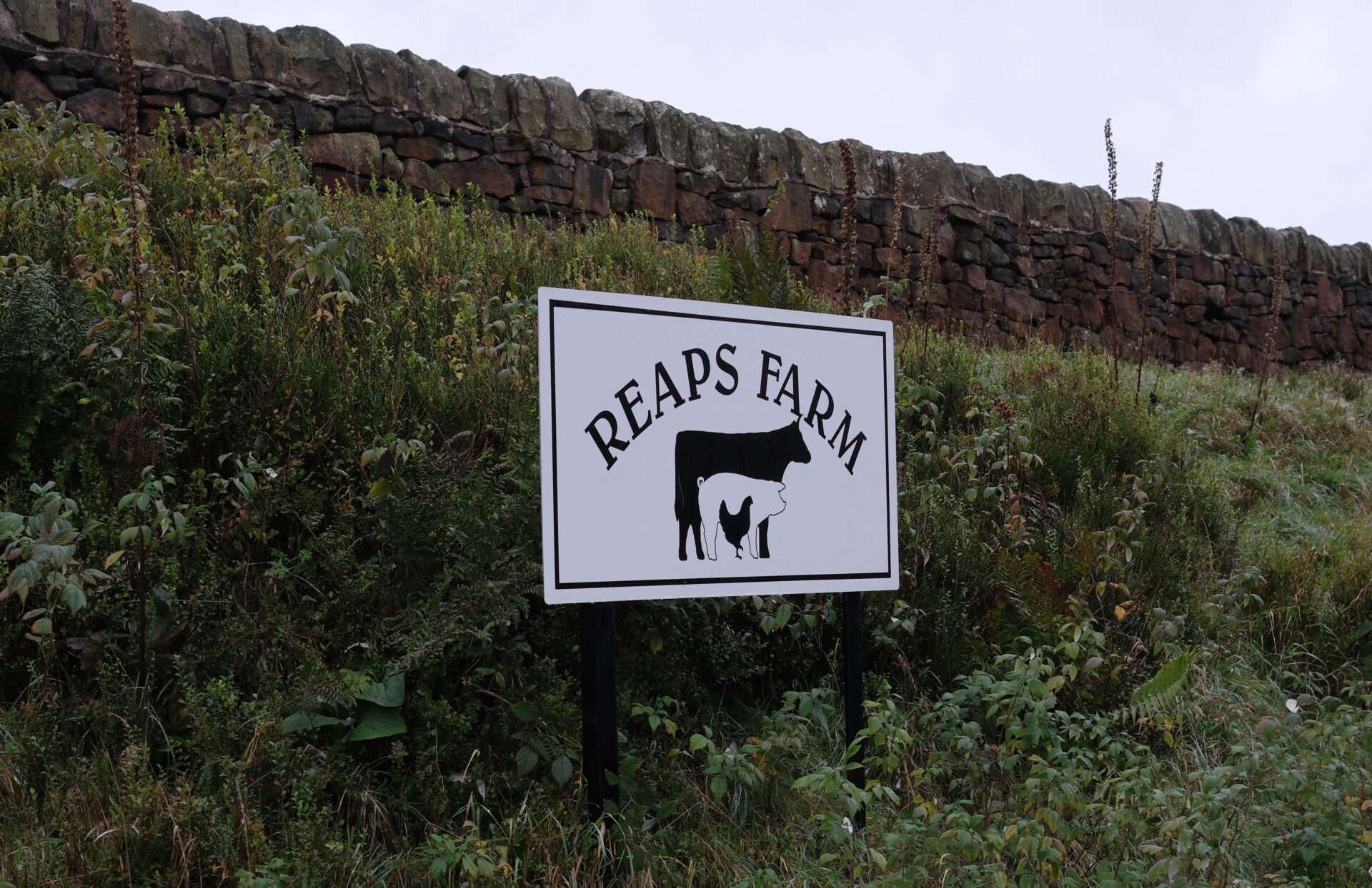
After breakfast we gathered our gear, jumped in the car and Jan drove us to Reaps Farm entrance the other side of Glossop, where we were picked up yesterday. It took about 25 minutes from home through Glossop. We started walking at 9.18am.
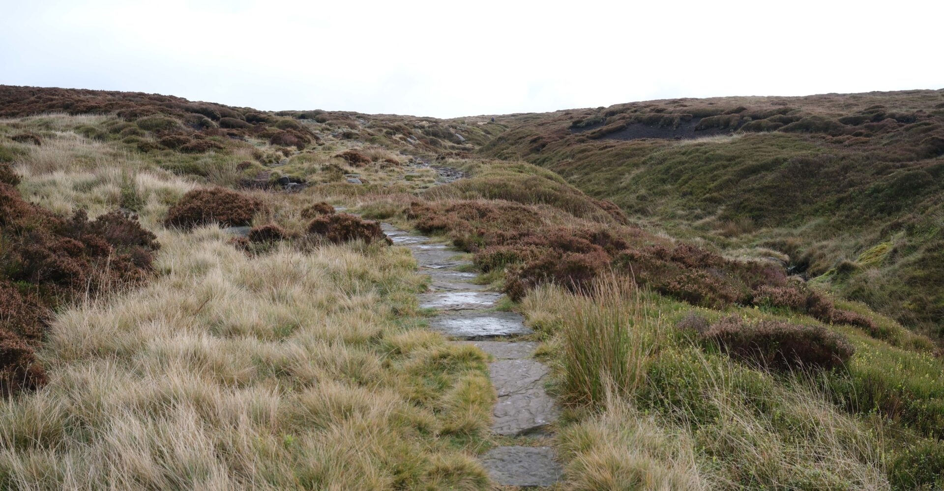
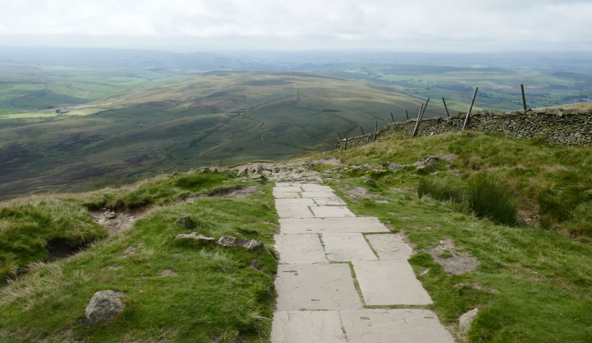
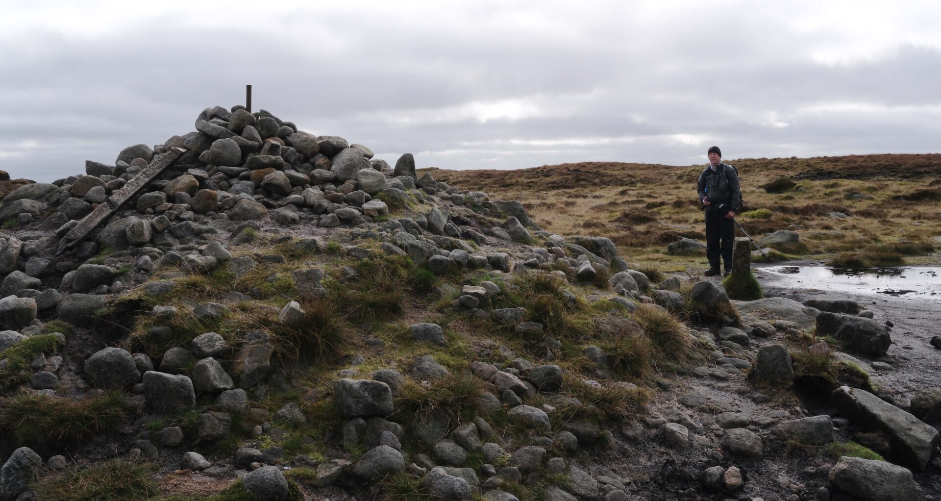
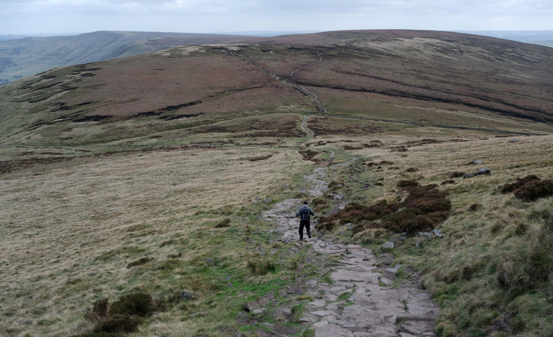
The summit of Bleaklow at 633m is a bit uninspiring – just a pile of rocks on a plateau of vegetated peat bog. The paths were much better than when I backpacked the Pennine Way in 1974 with paving slabs in most of the boggy bits. There were no problems at all.
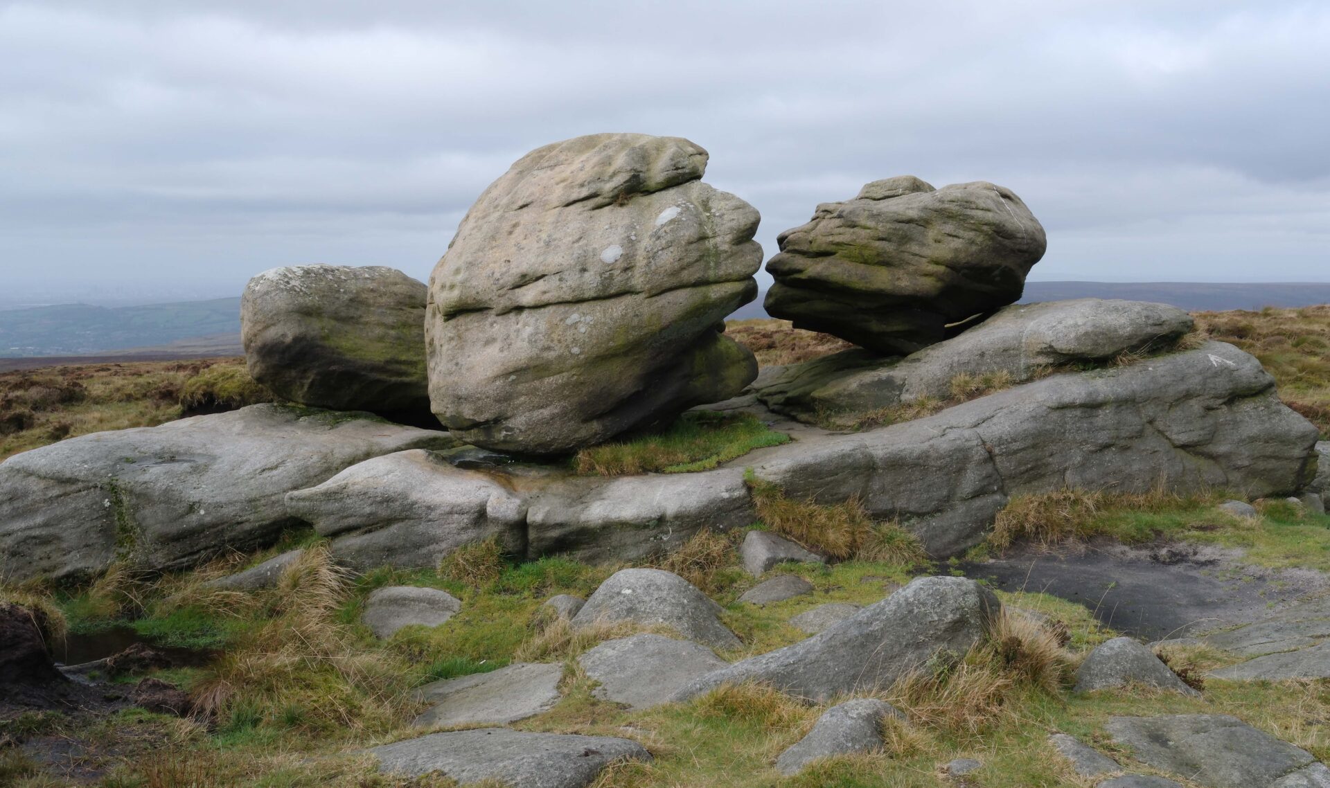
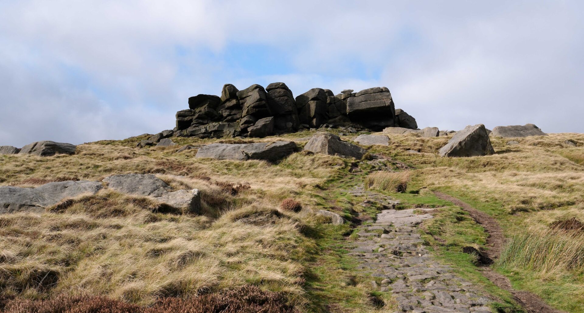
The Wain Stones are a feature not to miss if like me you enjoy taking photos. They were immortalised in Wainwrights Pennine Way guidebook with the title ‘The Kiss’. They are just a hundred metres or so south of the summit and slightly west of the main Pennine Way track. There is a track right past them that soon joins up with the main route so hardly a diversion at all.

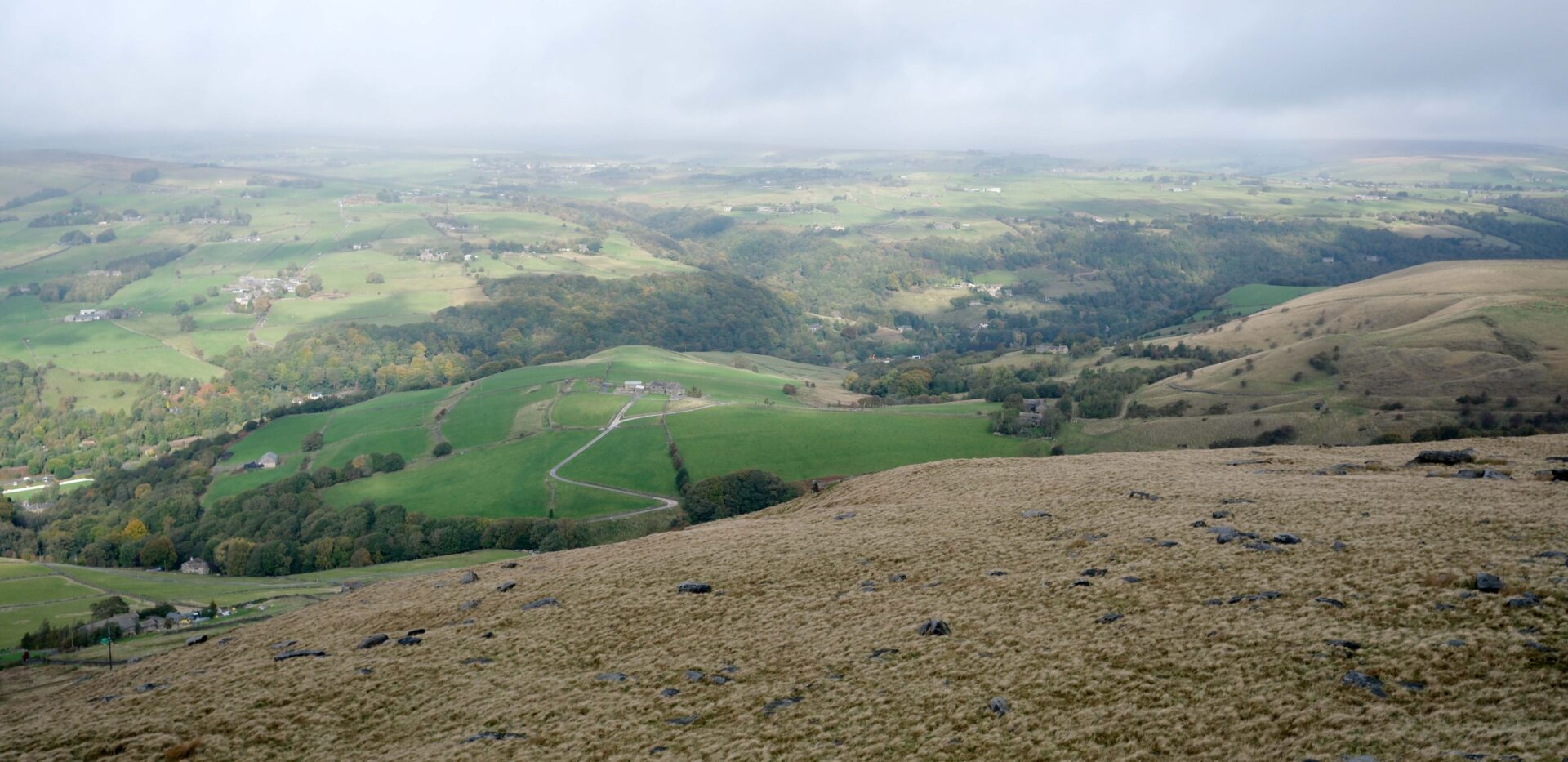
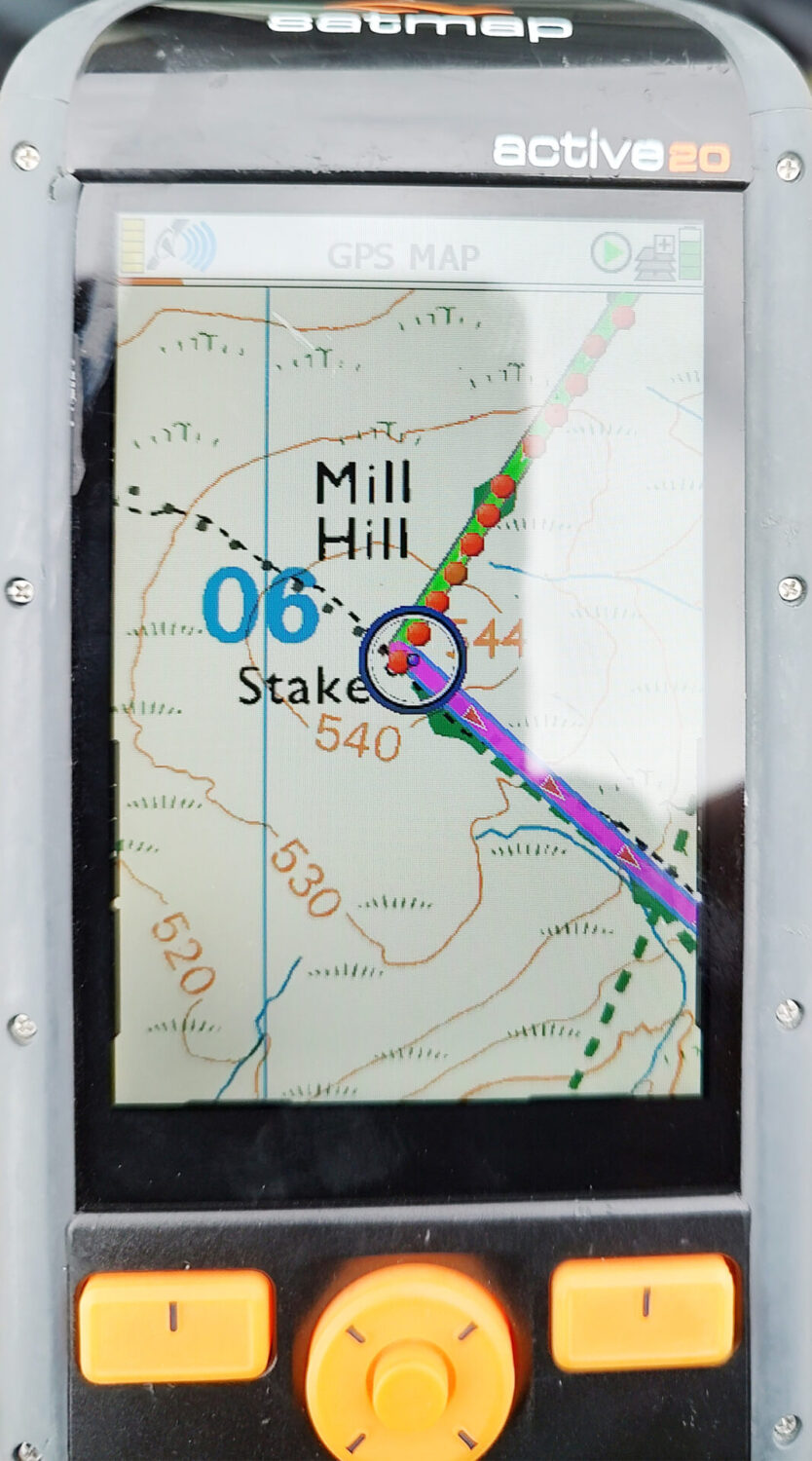
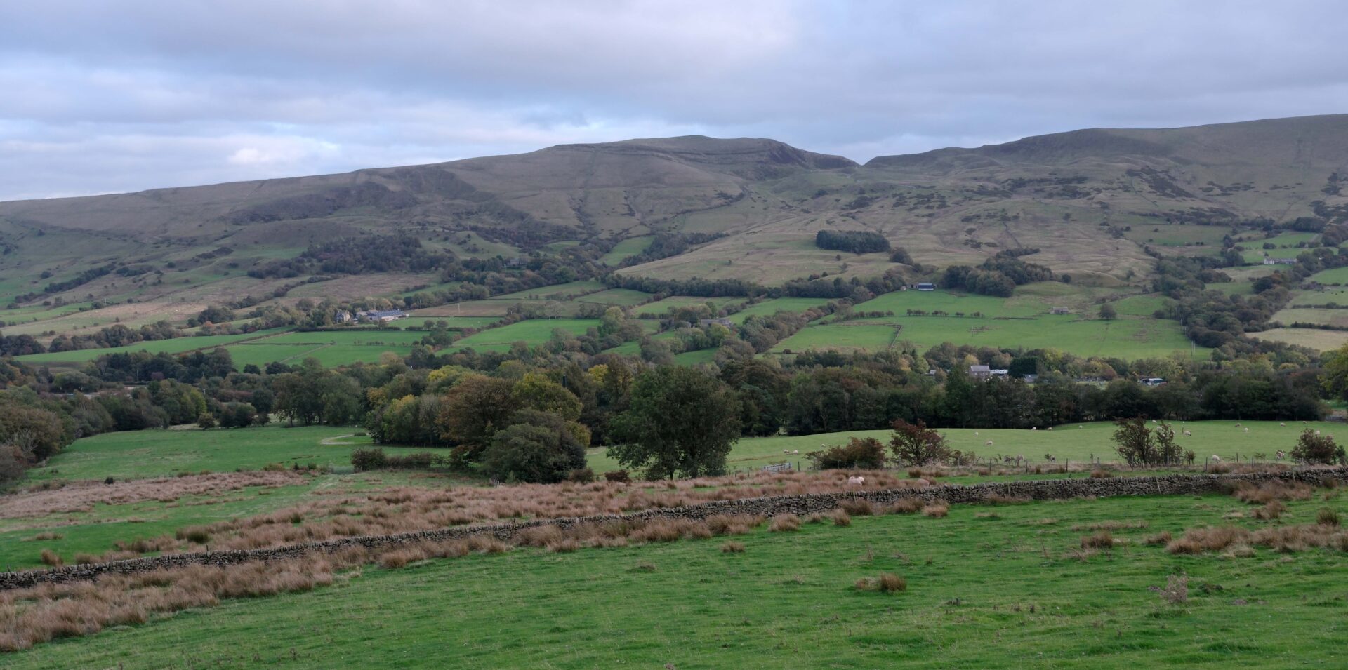
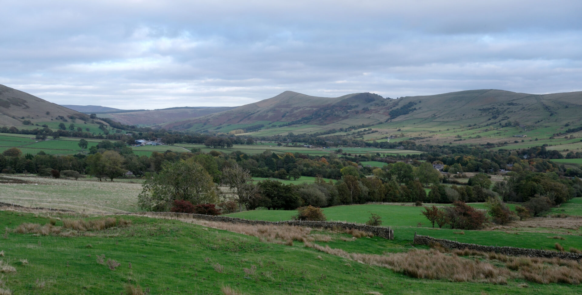
We crossed the A57 Snake Pass road leaving Bleaklow and heading for Kinderscout via Mill HIll. The sun briefly came out on Mill Hill and it was a bit after 1 o’clock so we stopped for a bite to eat and some water. We had covered about 8.7 miles in 3 hours so it was just over halfway for the day.
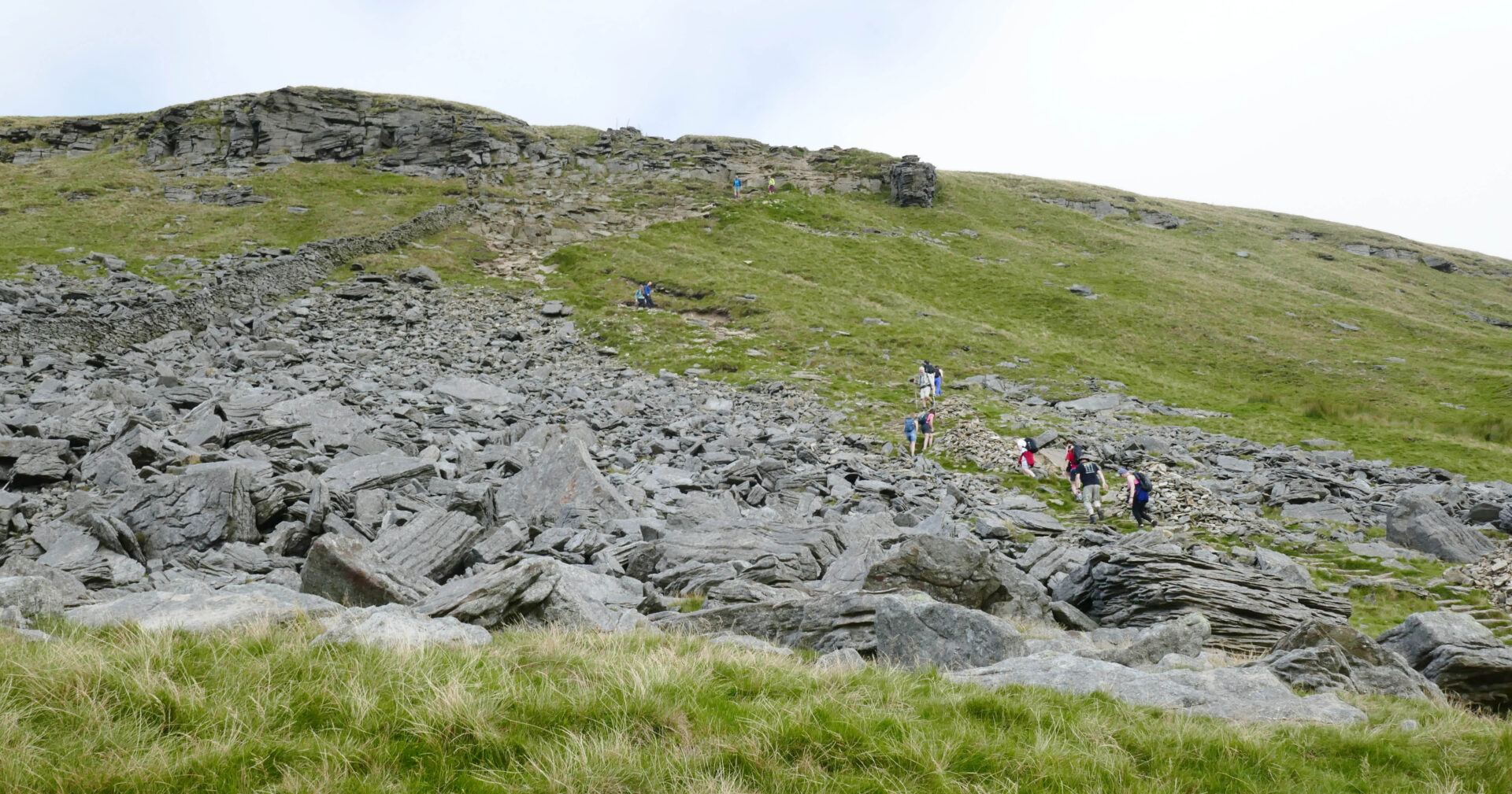
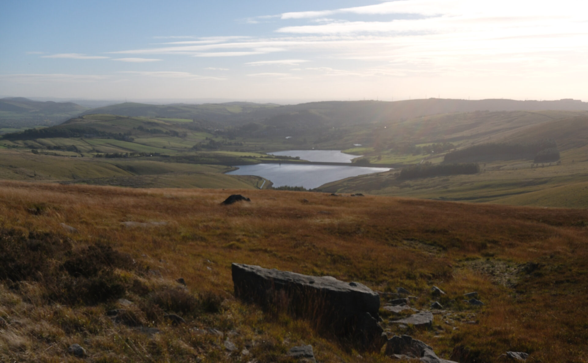
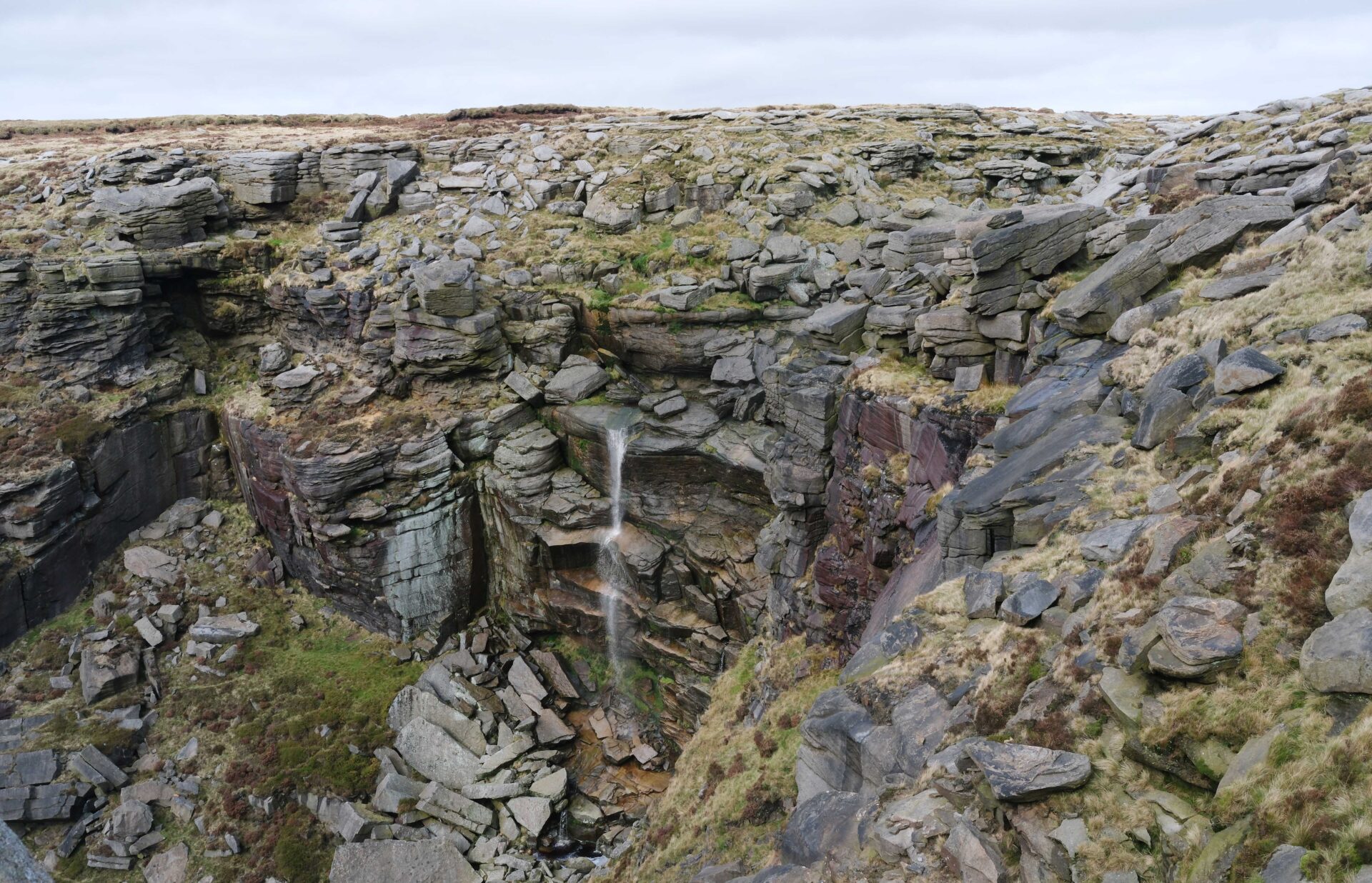
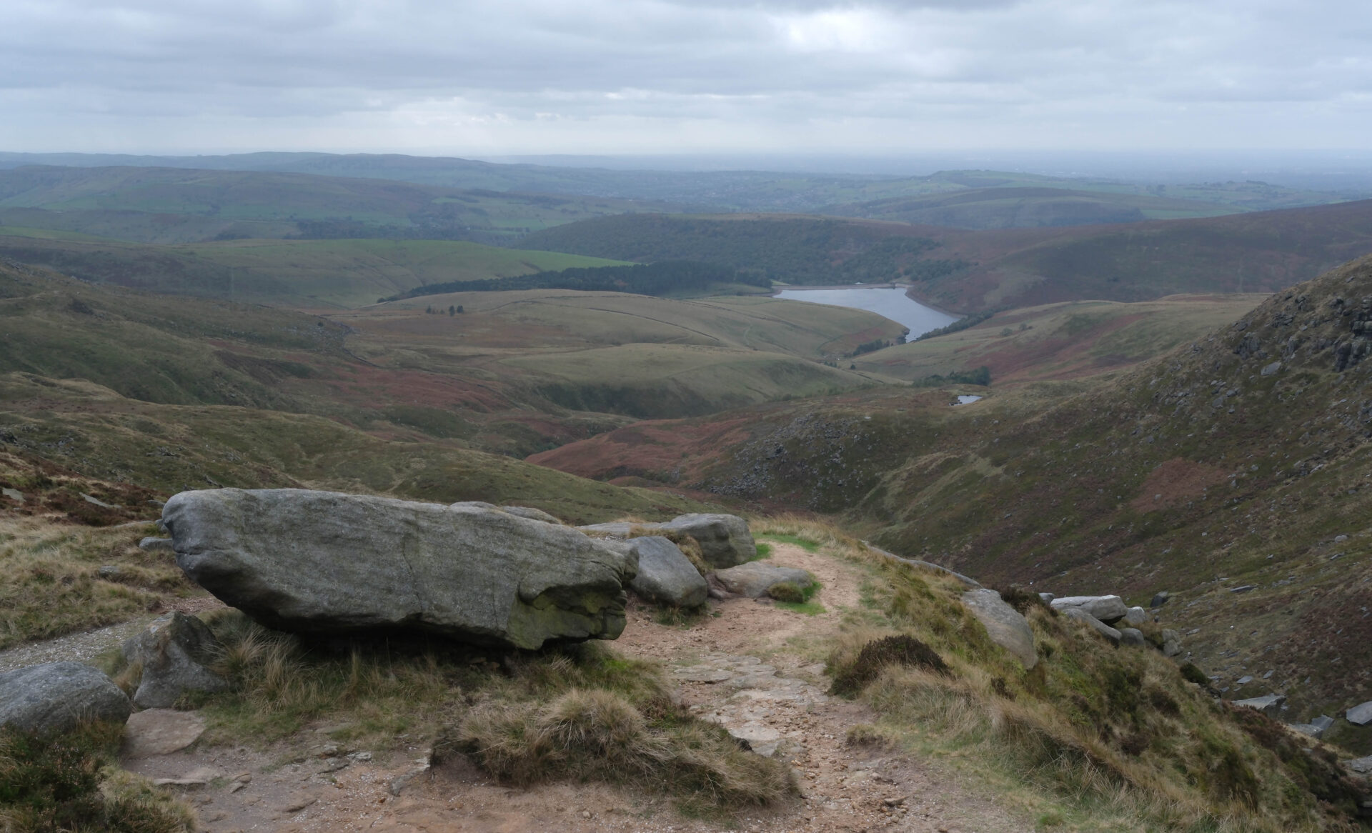
There were good views of Kinder reservoir from the edge of Kinder and the recent rainfall meant that the downfall actually had water flowing over it – it dries up during dry spells like we had through this summer.
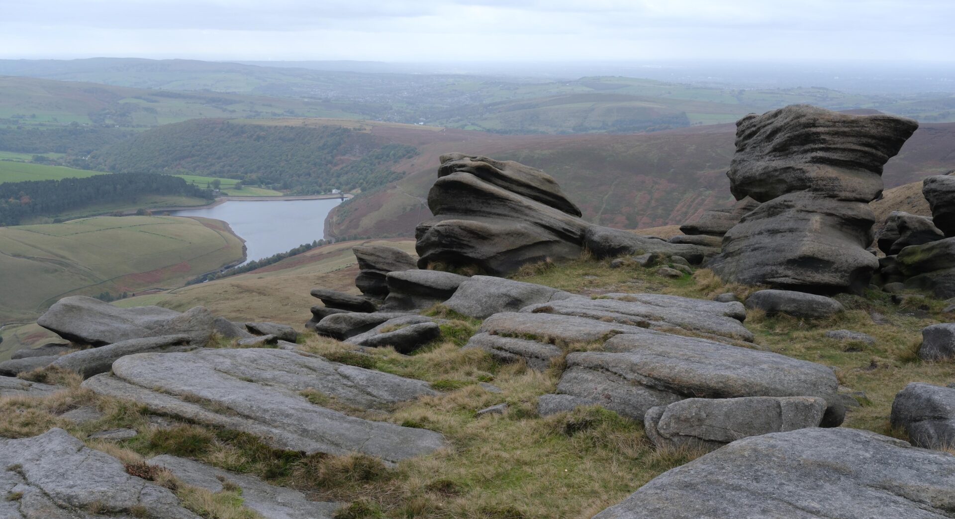
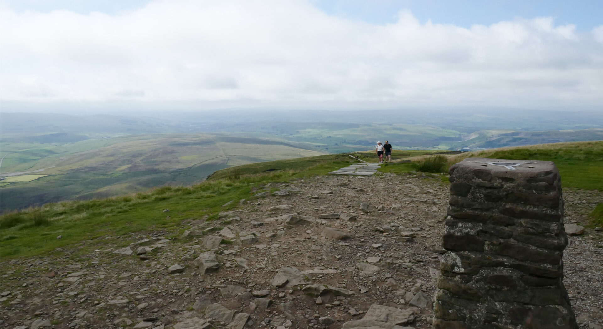
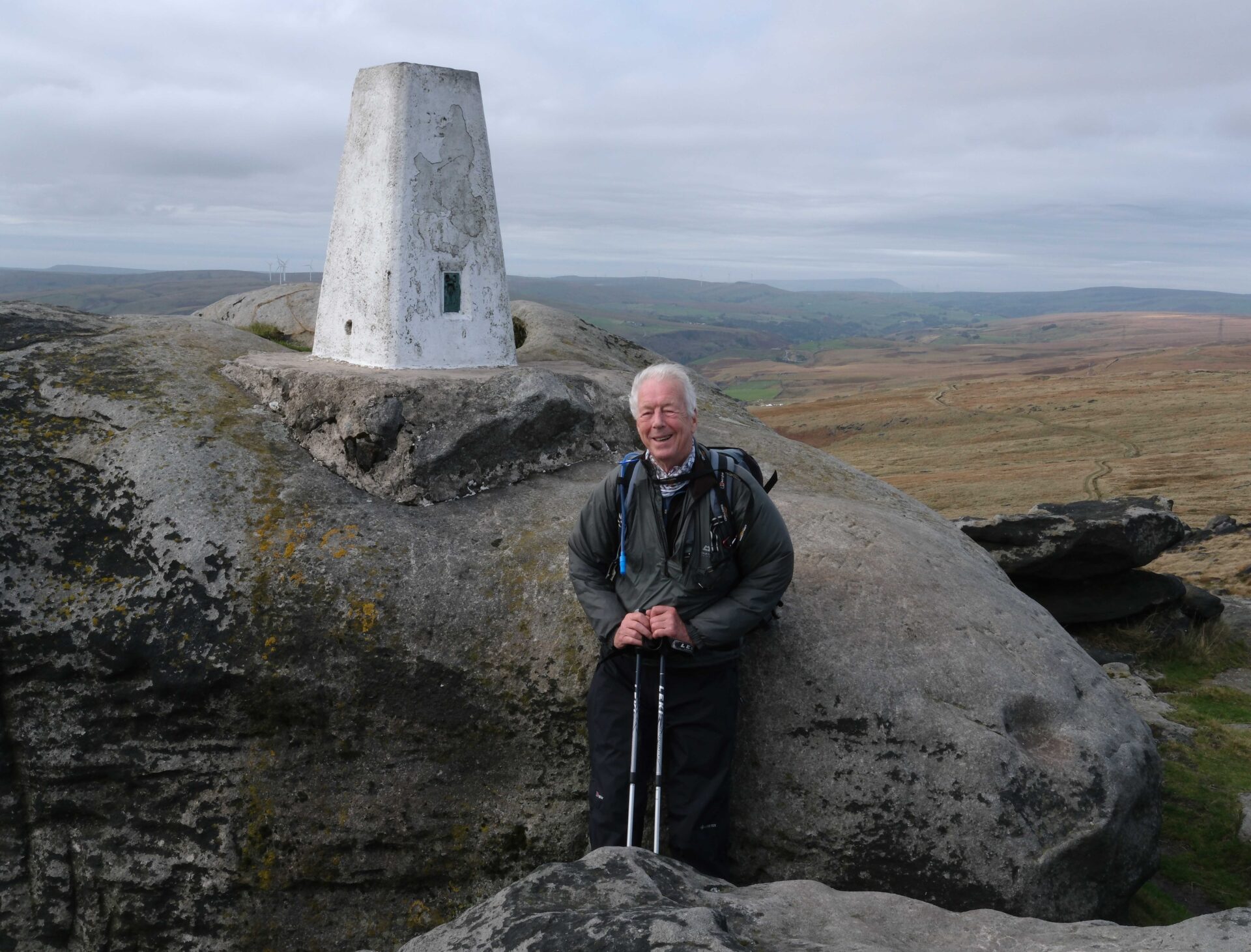
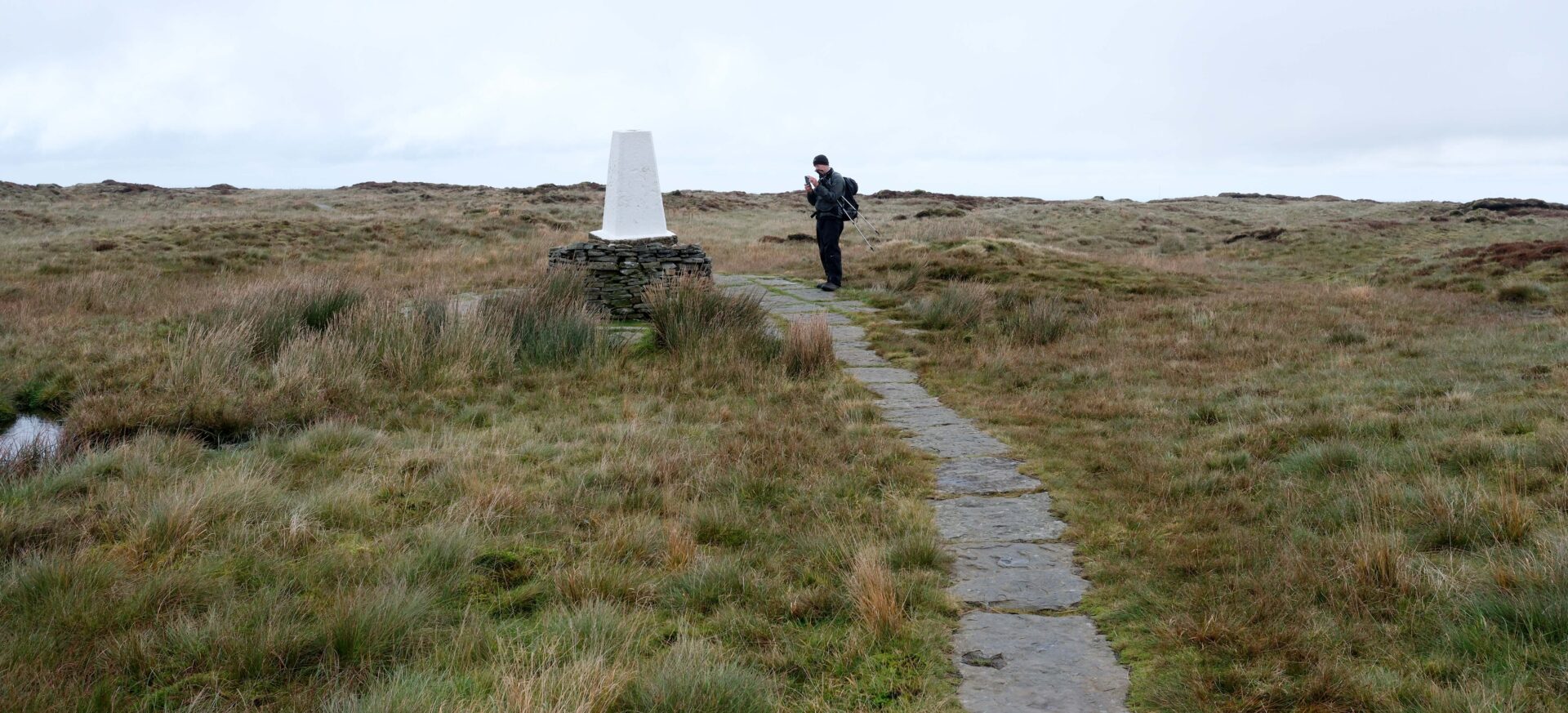
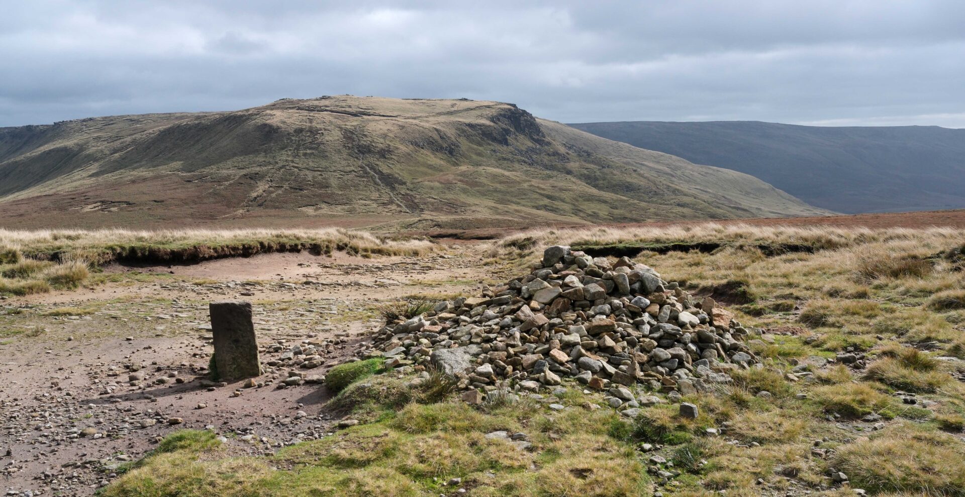
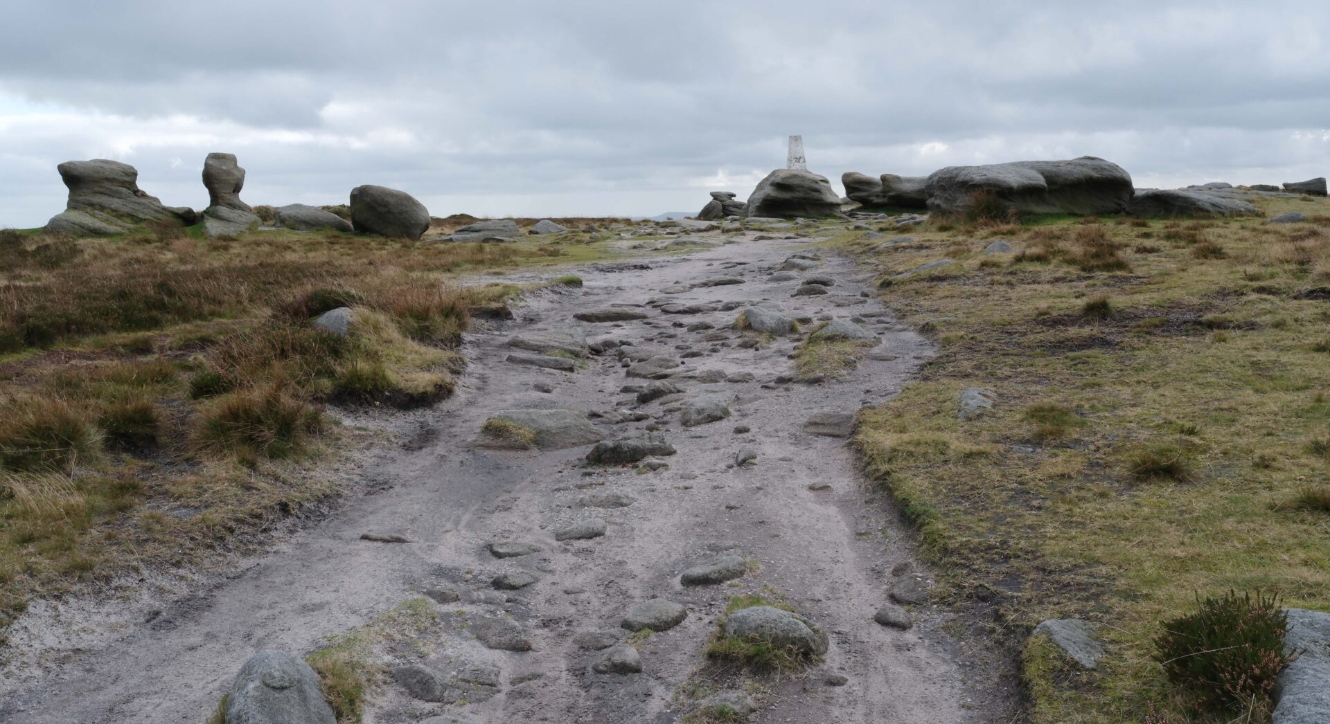
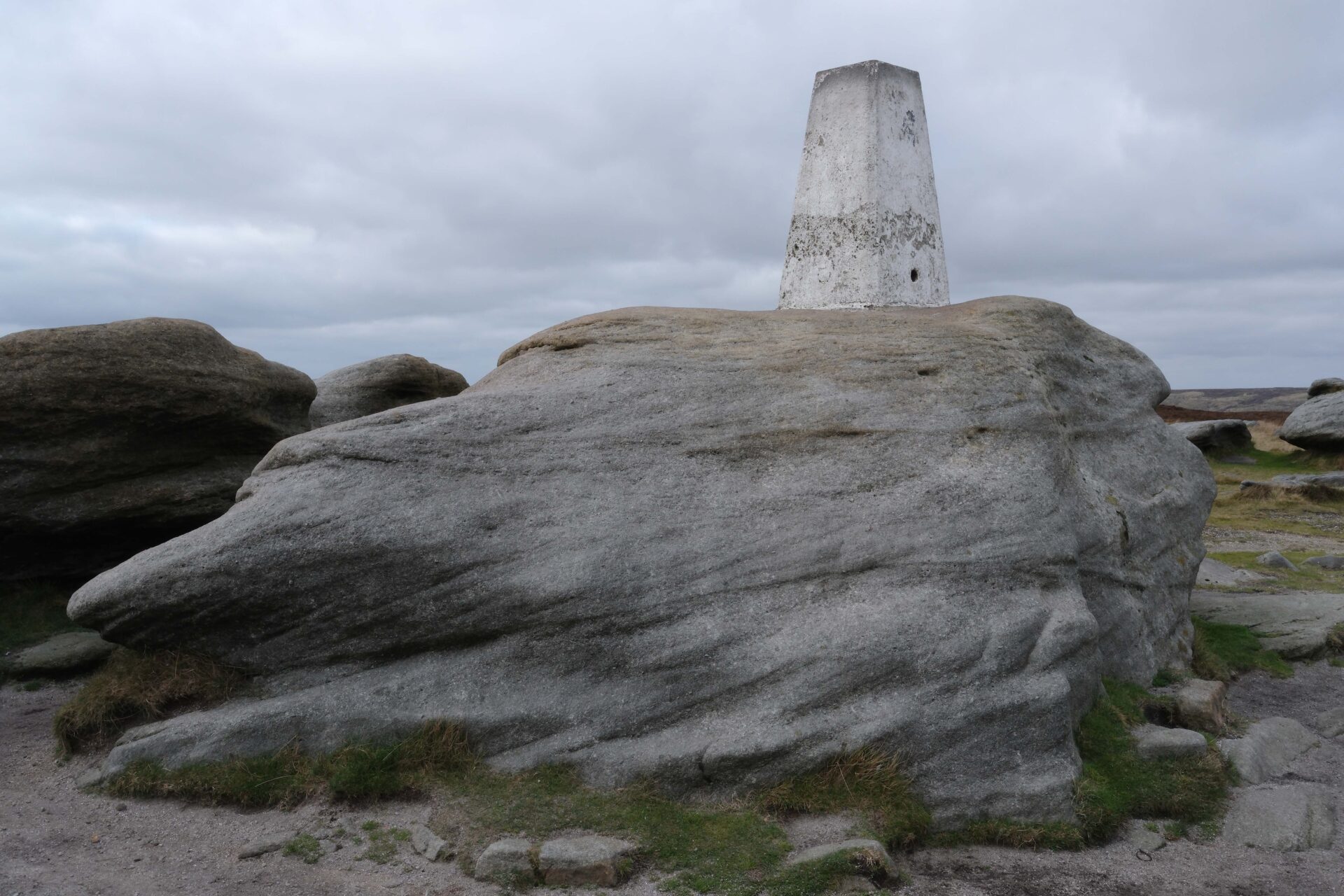
There aren’t many features on Kinderscout to help with navigation but Kinder Low is an exception as it has one of the 3 trig points on Kinder and probably the most well known/most visited one.
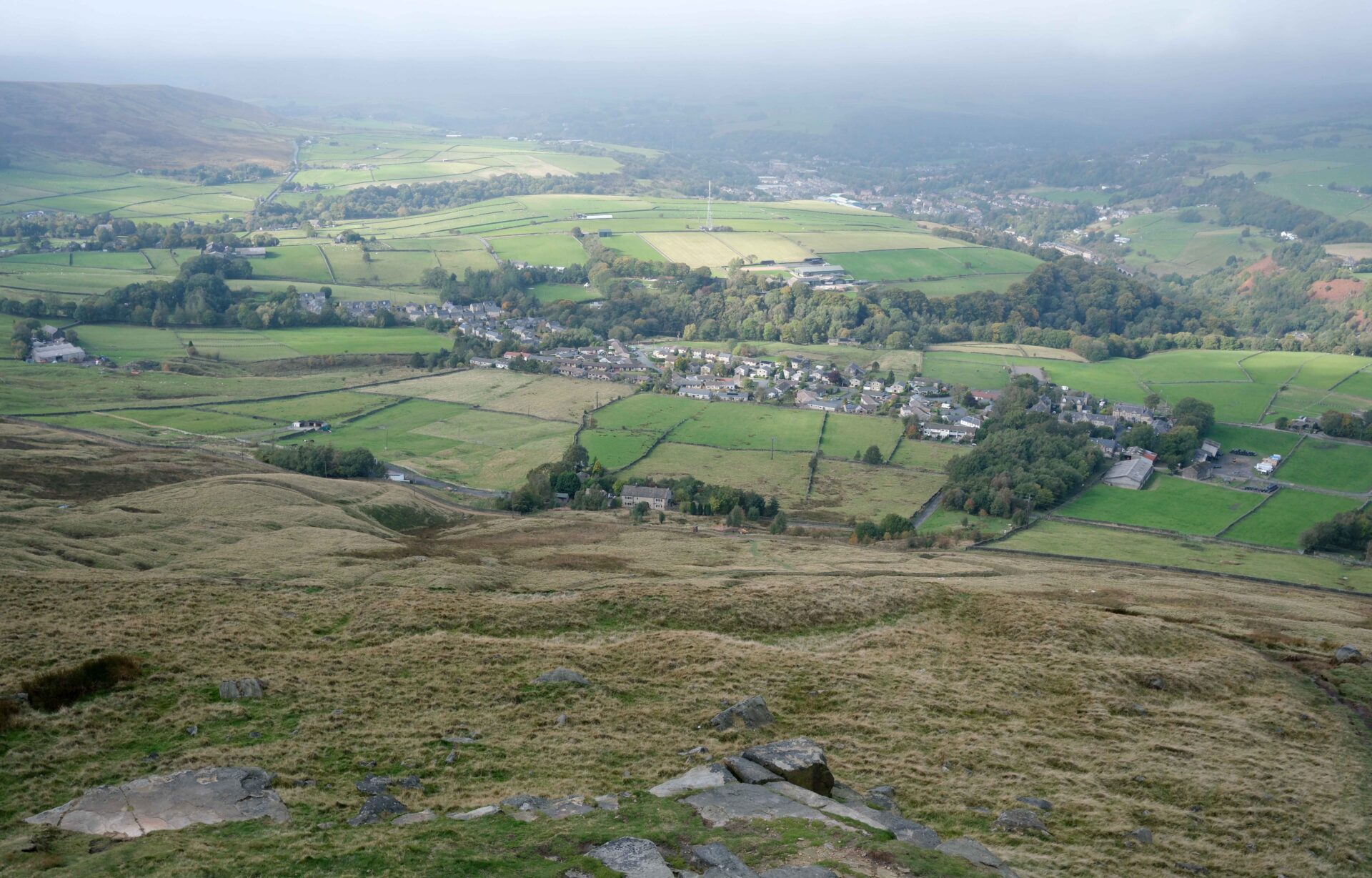
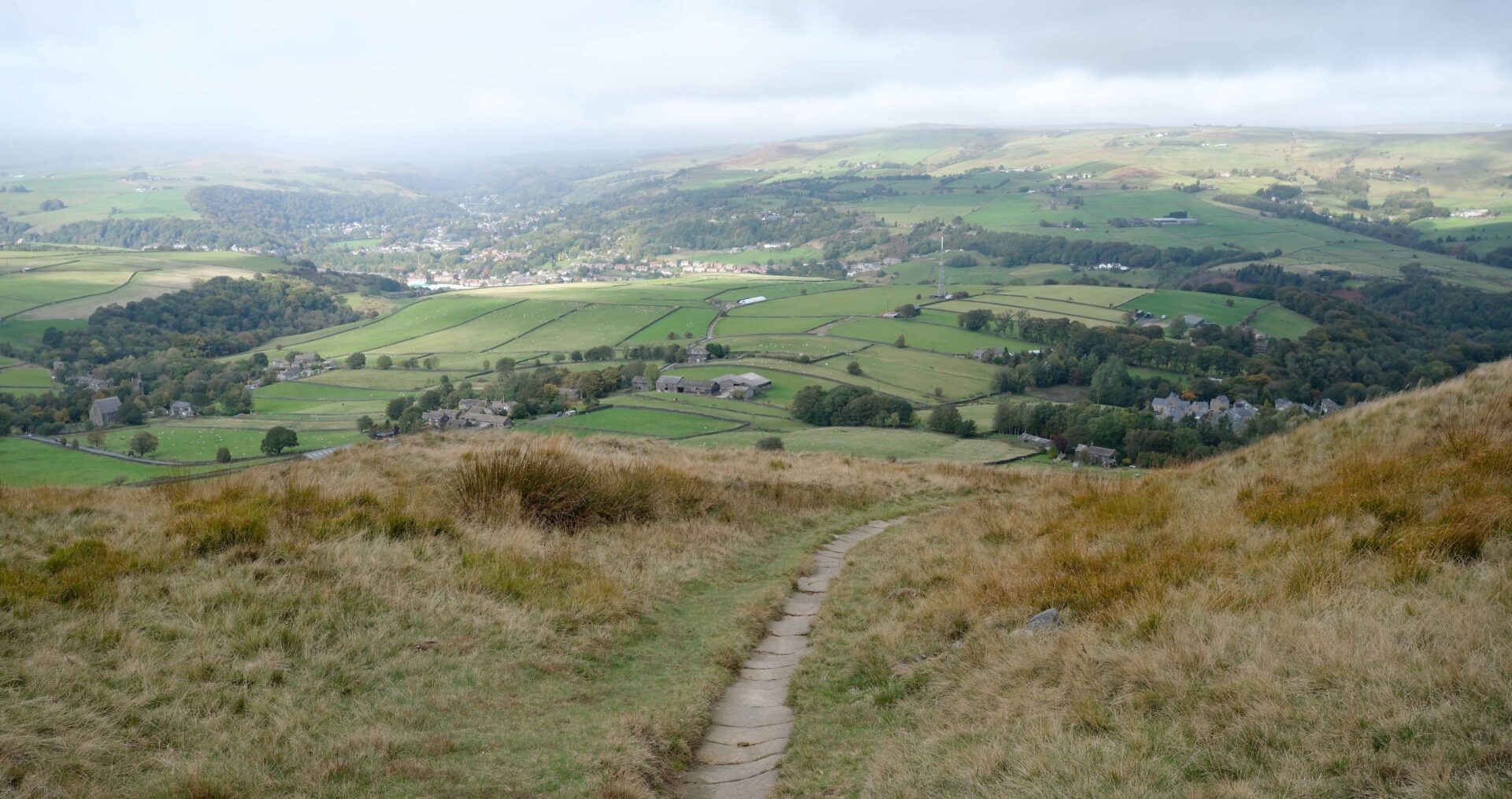
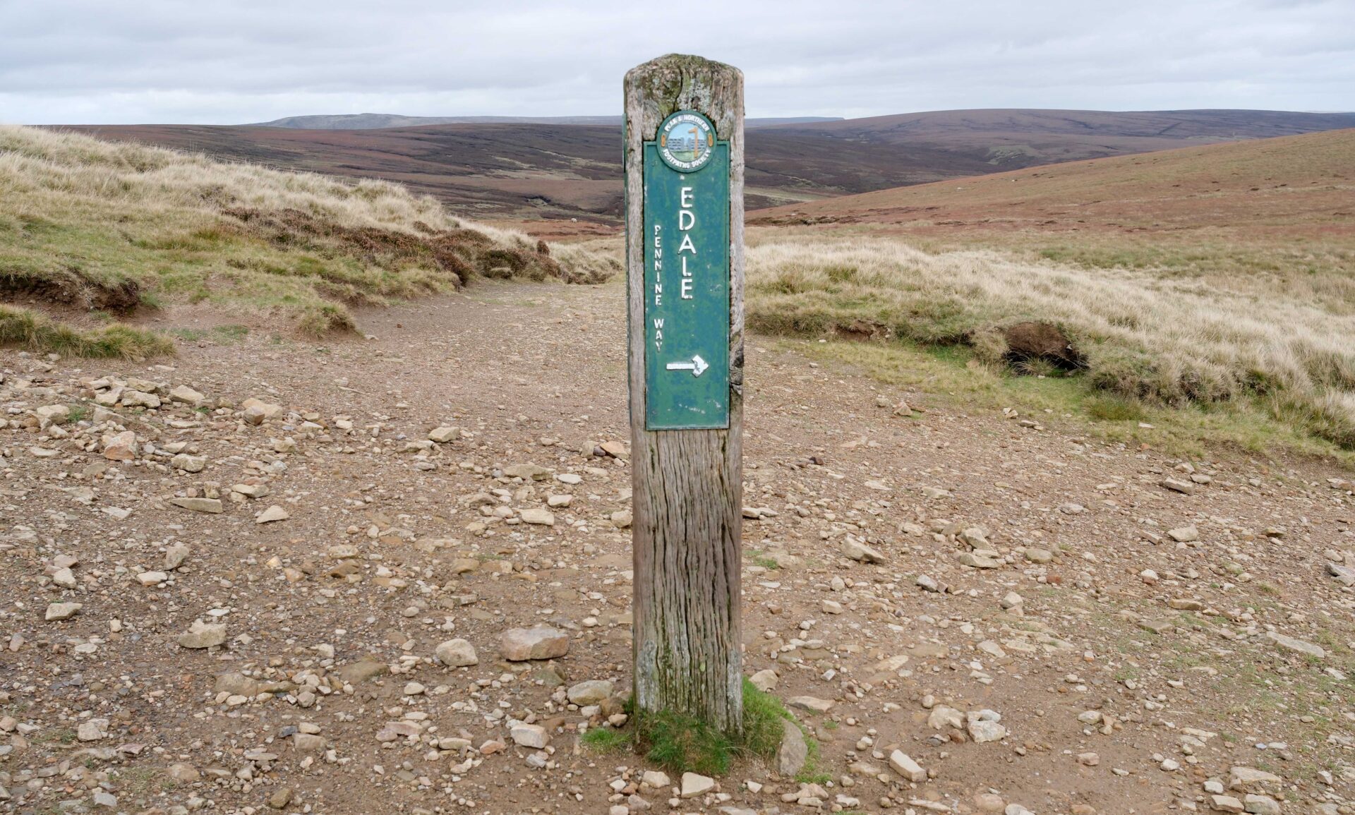
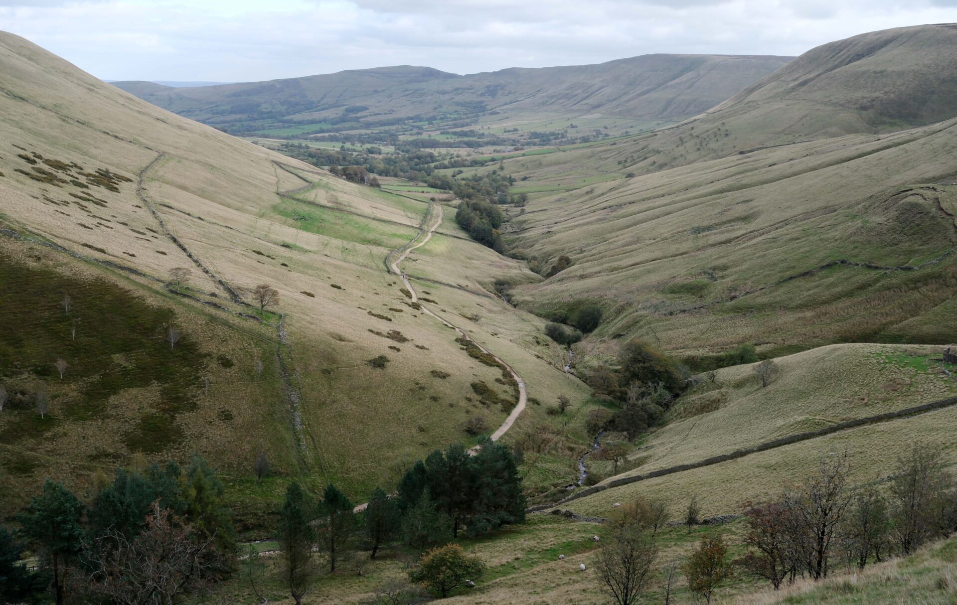
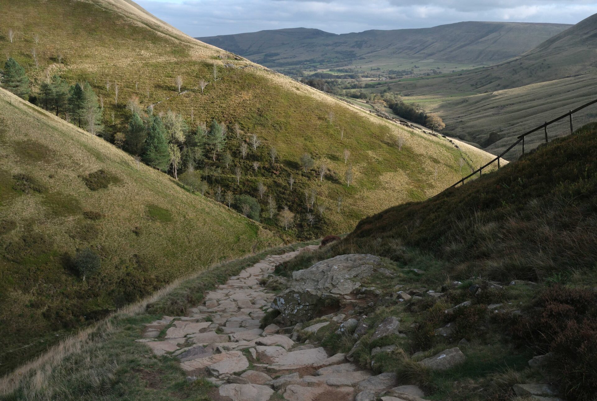
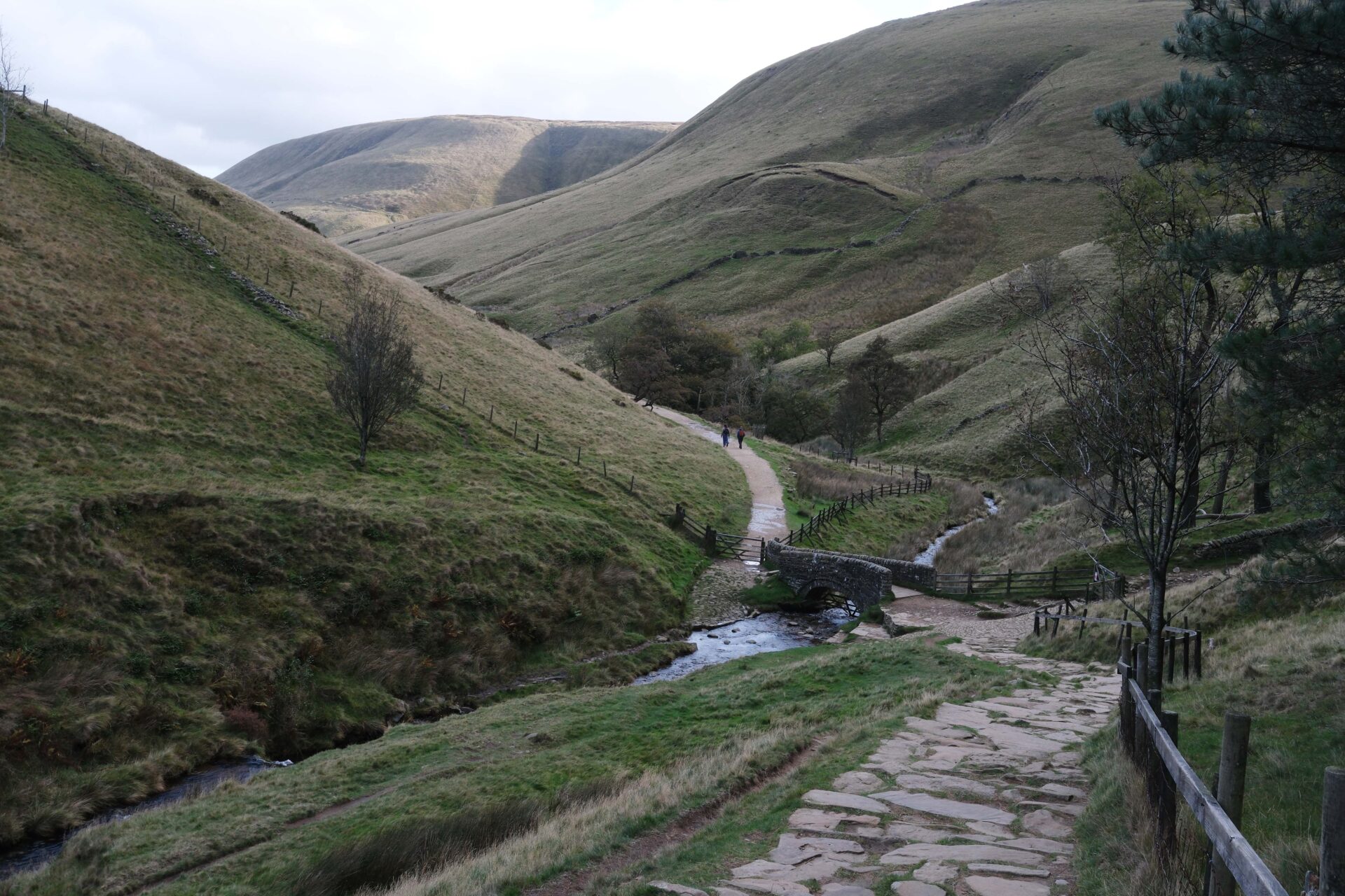
On leaving Kinder Low we headed past Edale rocks and down to the pass above Jacob’s Ladder, joining the path near Edale Cross. From here we headed down Jacob’s Ladder, over the old packhorse bridge and along the minor road and then from Upper Booth Farm on footpaths over fields towards Edale.
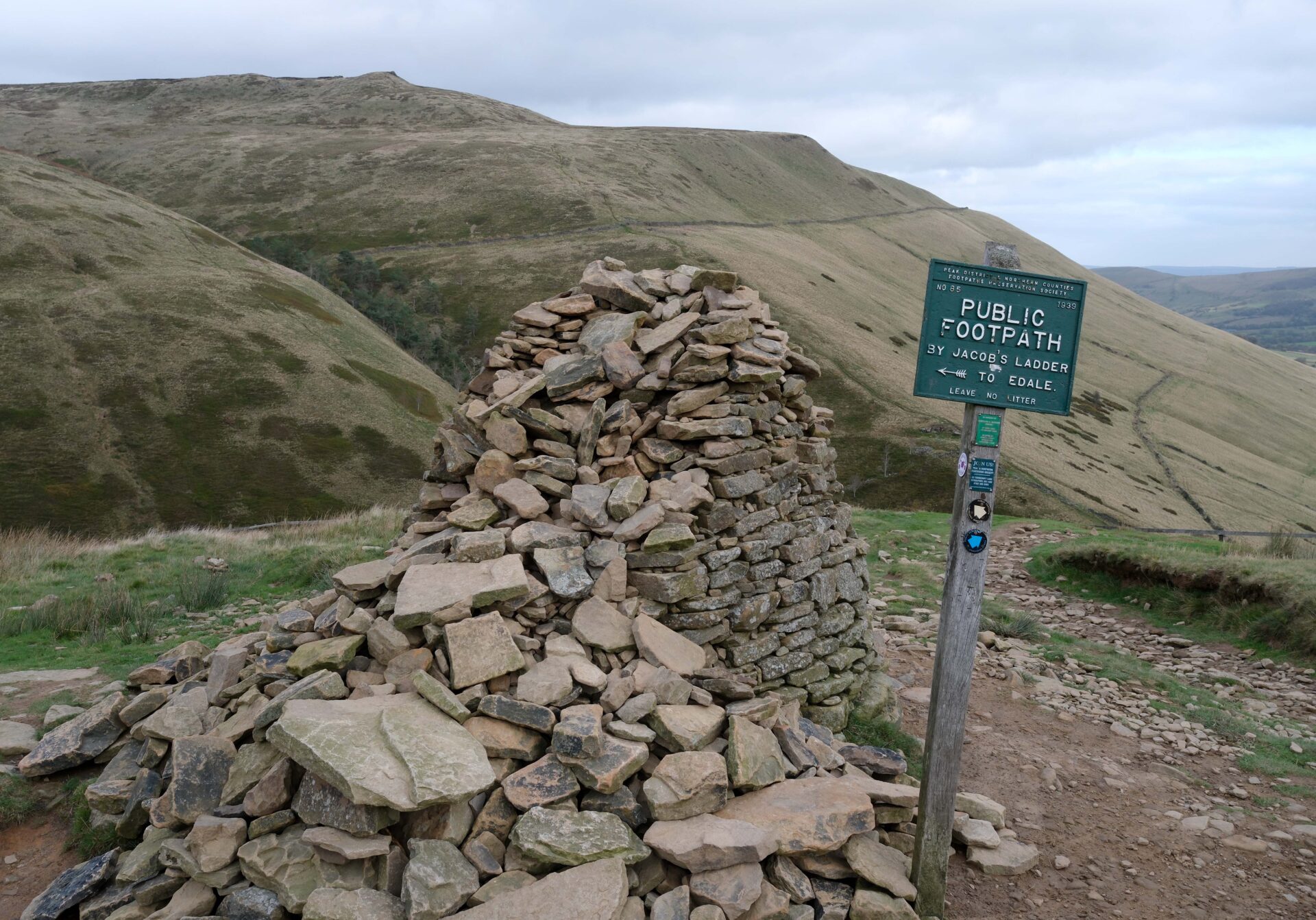

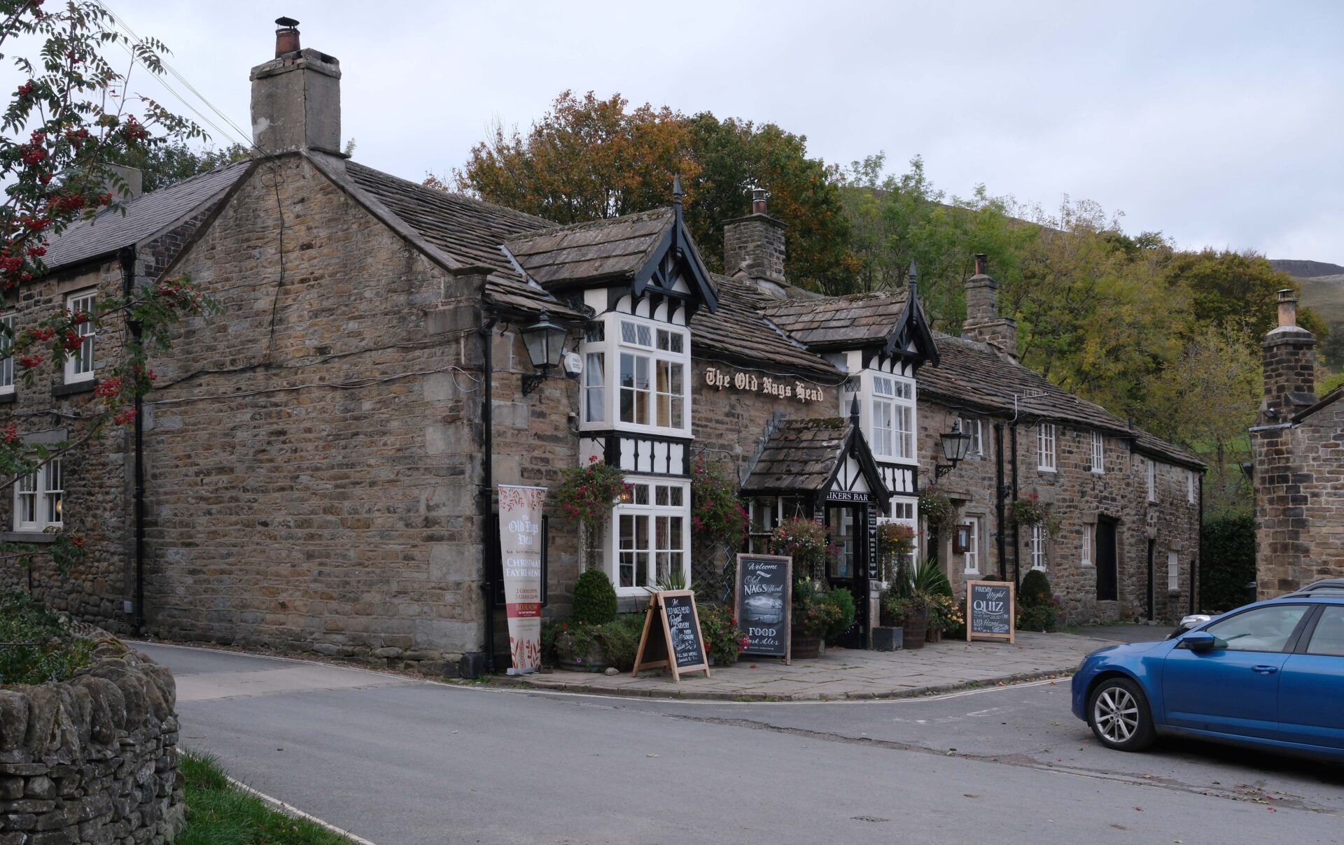
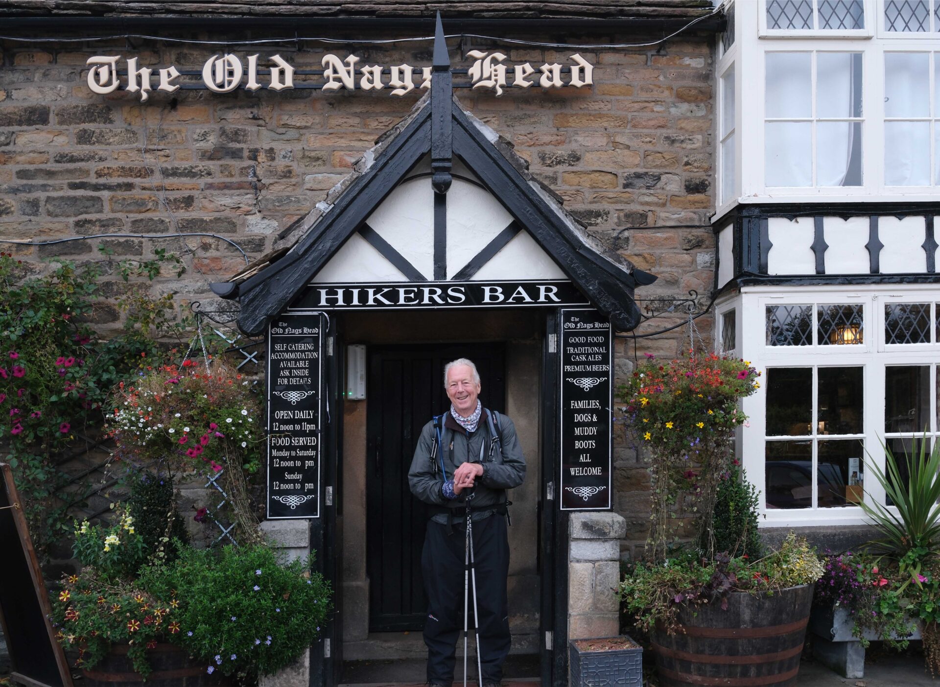
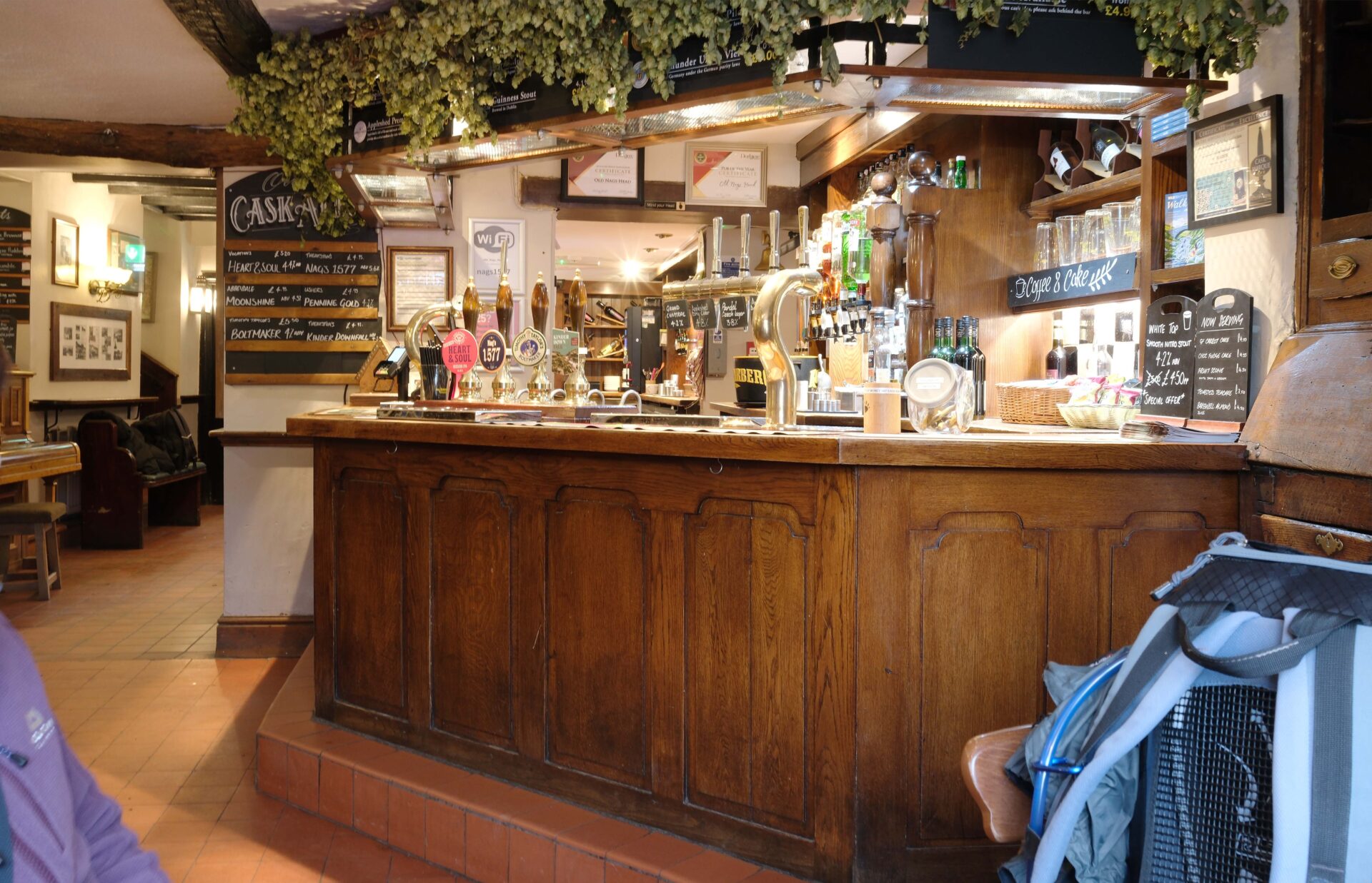
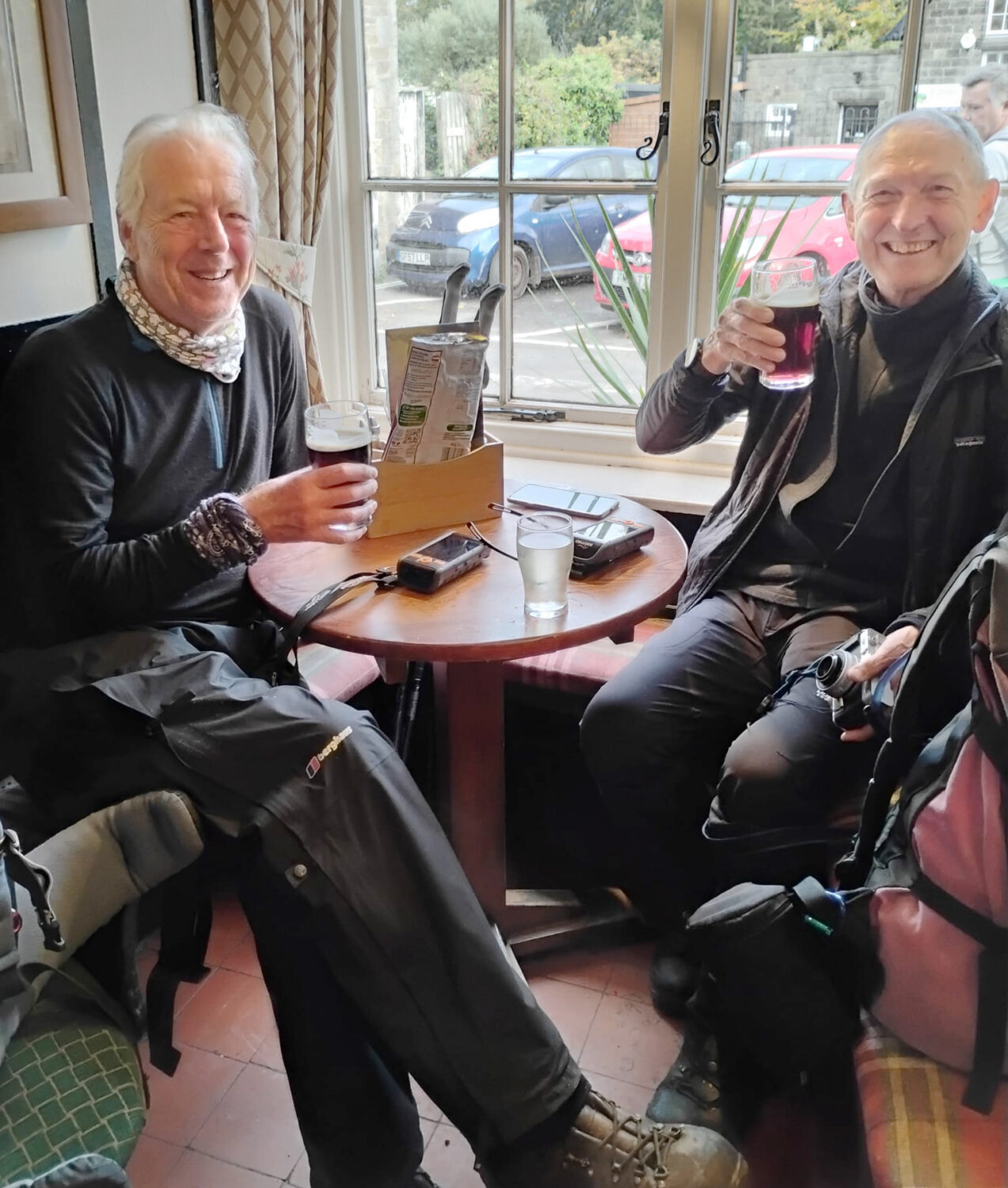
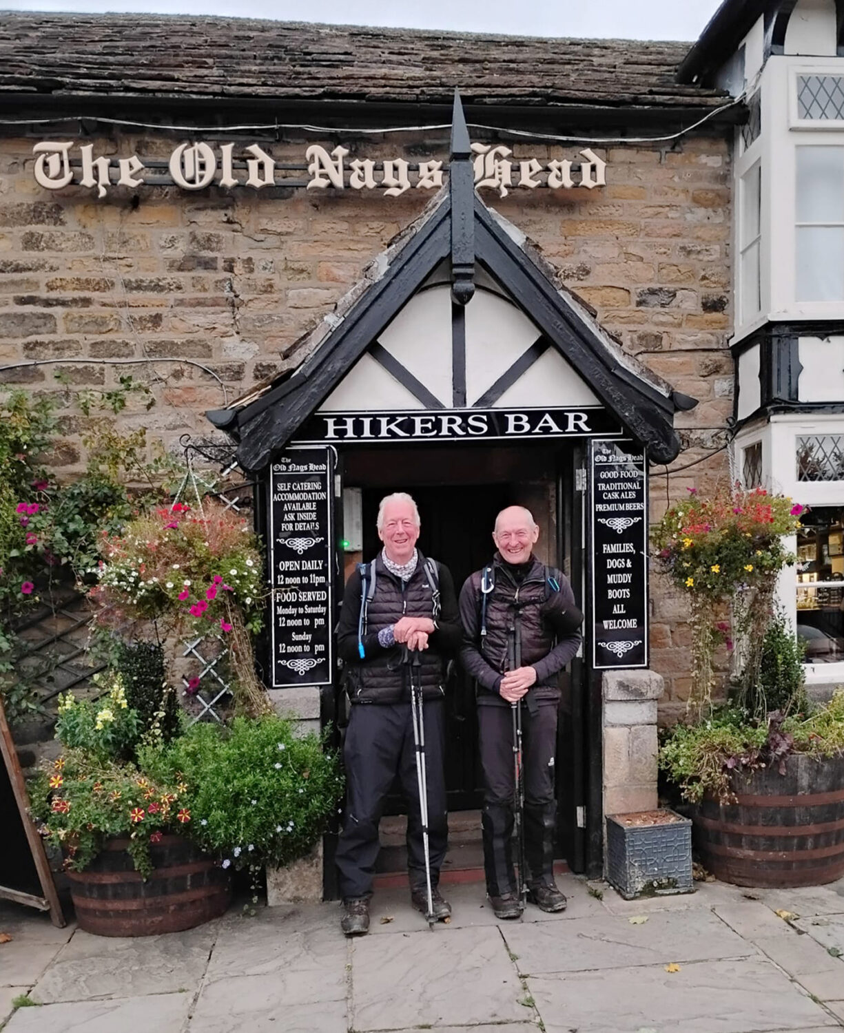
Just after 5pm we were in Edale at the Nags Head. The end of our Pennine Way Way trek. We made ourselves comfortable in a window seat with a pint each to celebrate.
Jan soon arrived having parked the car in the big car park a half mile away, but we had another beer just to make sure it really was as good as the first one!
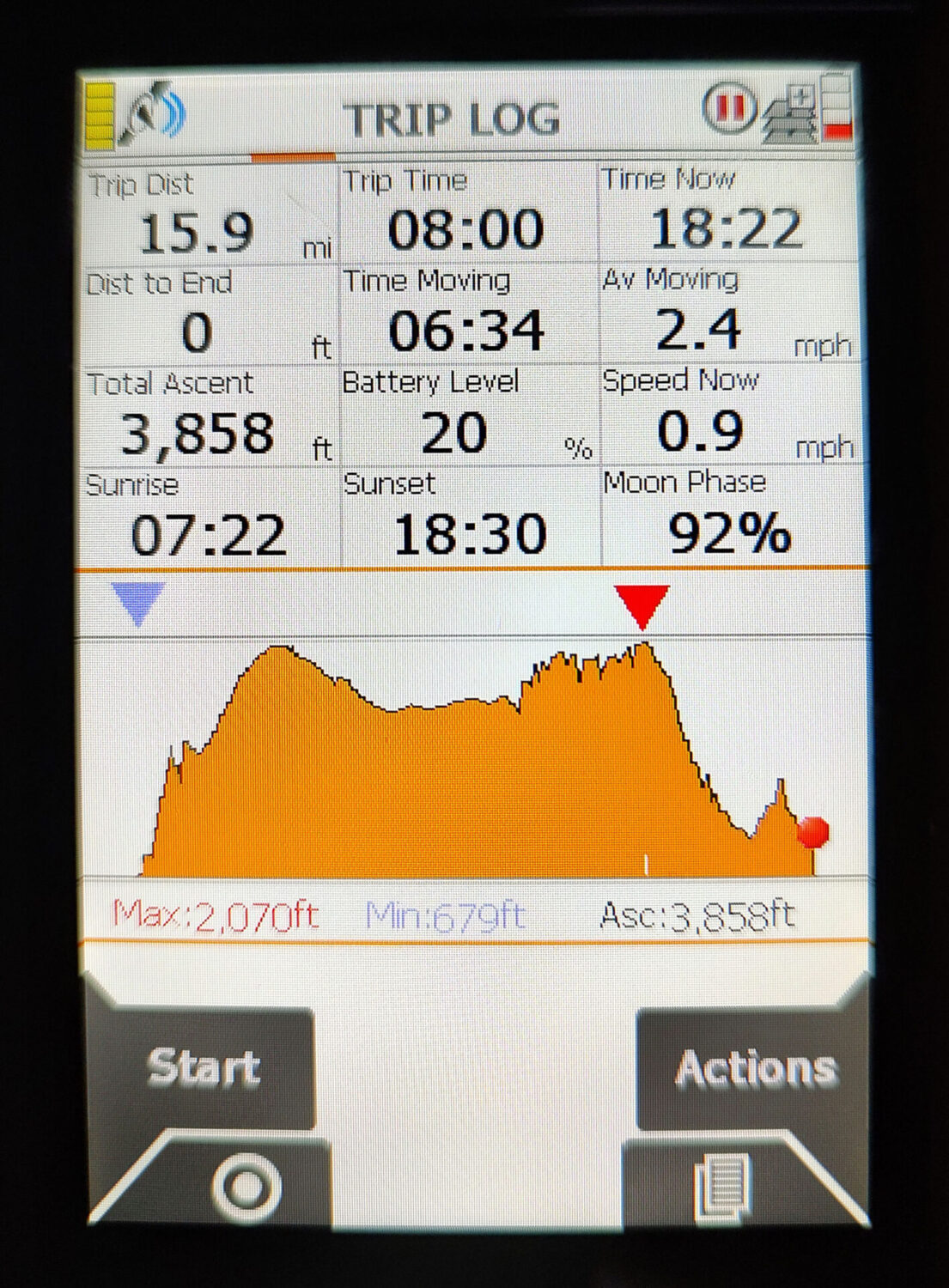
Overall, it was a bit under 16 miles with nearly 4000 feet of ascent in just under 8 hours.
The last day was a bit tough with lots of ups and downs over the 16 miles that we covered. I think we deserved our celebratory pints in the Nags Head in Edale at the end! After Jan joined us for the celebrations she took a few photos of Al and I at the pub. Then we walked to the car and she drove me home and Al stayed the night before driving back to his family near Gloucester.
Overall, we walked 282 miles in 20 days with mostly dry weather bordering on good weather for quite a few of the days. We mostly stayed in small hotels and pubs and were well looked after with food and drinks. Some of the rooms were small, such as at Twice Brewed, but we didn’t rough it anywhere, overall they were good. For me, the top part north of Middleton-in-Teesdale was my favourite for being a bit more remote with some of the most spectacular scenery. My favourite pub was the Tan Hill Inn north of Keld, the food was excellent and fast despite the crowds queueing out of the door at times and the Theakstons Old Peculier was in perfect condition. The Nags Head in Edale a close second.
During a normal day on the hills I would drink water before we started, about 2 litres of water containing Hi-5 Zero electrolyte tablets during each day and water when we finish. We also like to have a few beers, occasionally finding a lunchtime pub but always at the end of the day so that in total we downed 90 pints of beer over the 282 miles which equates to roughly 25 miles to the gallon.
Photography
The last 3 days I used a Fuji X-E5 40Mp digital camera and this gives far superior images than the Panasonic TZ100 24Mp compact zoom that I used for the previous 17 days, and I also much preferred using it. I mostly used it in aperture priority mode so I set the Aperture on the lens. I also set the Iso at 800, fast enough so that I didn’t have to worry about slow shutter speeds giving me unsharp pictures. In actual fact I didn’t need to worry about this at all as the camera has 7 stops of image stabilisation in the body – not something I ever found on any of my film cameras! The camera set the shutter speed and I was also using Auto-focus mode and I could move the position of the focus if needed. I’ve set the shutter button so that pressing it down halfway fixes the settings and focus so that I can recompose the picture if needed. So, overall it behaves in a very similar way to my old 35mm Nikon cameras that I was using up to the early 1990’s, but with a few extra bells and whistles.
The Panasonic TZ100 did produce some good pictures and had a super-zoom from wide-angle to 1000mm with a bit of digital jiggery pokery from the camera itself. Overall, I didn’t like to colours it produced, especially the greens which were often too bright no matter what settings I used. In the end I part-exchanged it for the Fuji camera through Wex Photo.
Some of the shots indoors and on wet days were taken on my Motorola Edge 20 which, like many mobile phones, gives decent photos as long as you don’t zoom.
Equipment
We both used our normal hill walking clothes and gear, I didn’t buy anything special except for the Harveys Pennine Way waterproof maps for the Pennine Way. I carried Harveys and OS maps covering the route for each day and a compass. I used the Harveys map to see the bigger view than on my GPS but didn’t need the OS maps at all so they stayed in my old 40 litre rucksack that I bought over 30 years ago.
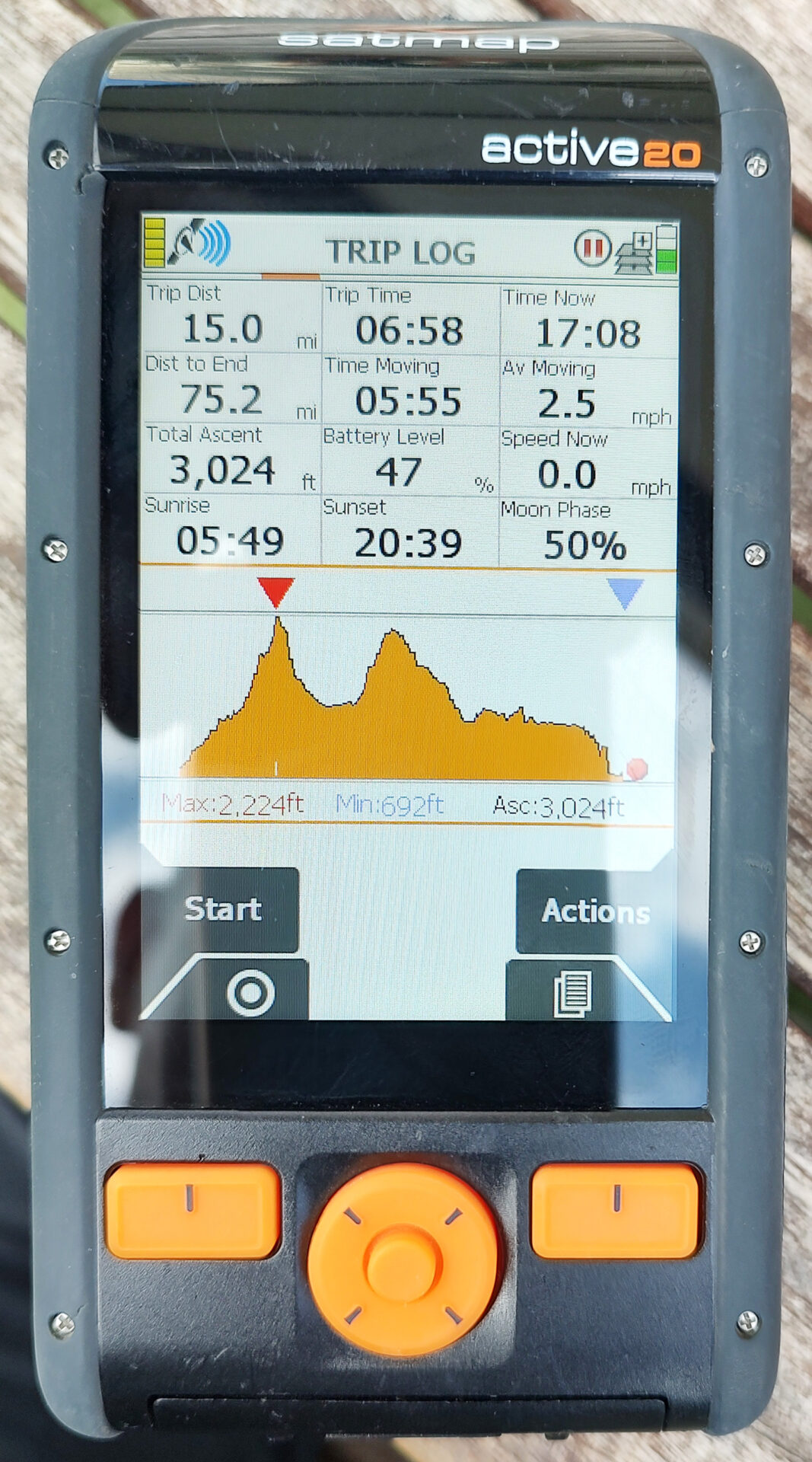
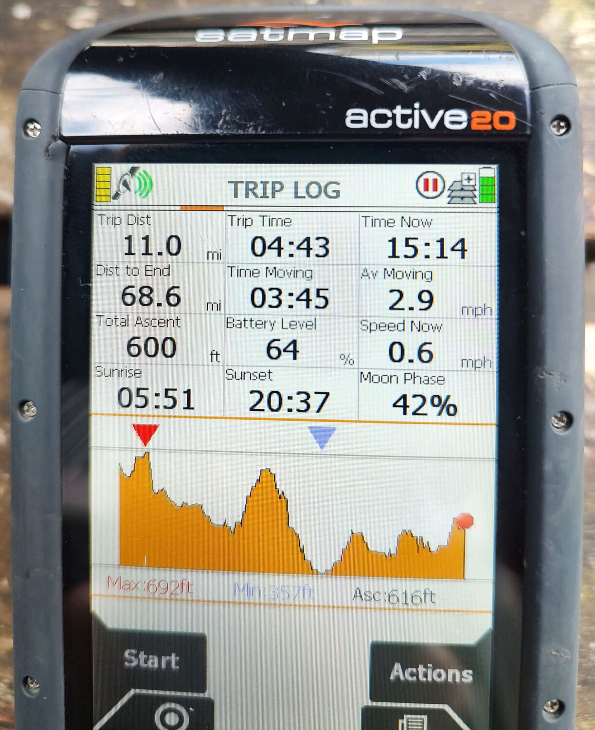
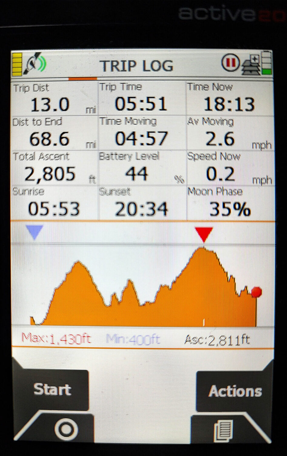
We both had Satmap Active 20 GPS’s loaded with the route that I programmed into them which included all of our detours to overnight stops. It’s a shame that Satmap GPS are no longer available as I really like using them.
You might also like
 Get some free printing and developing tips, tutorials and information from the expert over at Darkroom Dave!