
In late September 2026 I resumed walking along the South West Coast Path. Previously I’d walked from Wembury to Sennen Cove along the south coast and Minehead to Lee Abbey along the north coast in the past so I decided to fill in the gap between Lee Abbey and Sennen Cove. This is the first of 3 trips to fill that gap.
This trip was entirely in Devon as I started near Lynton and finished in Clovelly after 5 days of walking. In fact it will be mid-way through day 2 of the next trip (pencilled in for Spring 2027), from Clovelly to Newquay, before I walk into Cornwall.
I took digital photos along the route not just for the views but also as timing points as the camera records the date and time for every shot, which is very helpful. I’ve included these times for all of the pictures in case they are of use if you’re planning a walk covering similar ground.
I was lucky with the weather catching the end of the warm spell with temperatures between 18°C and 22°C. There were short light rain showers on days 1, 3 and 5 but I didn’t use my waterproofs very much.
Lee Abbey to Combe Martin 11.7 miles
We were staying in Barnstaple, Devon for the entire 5 walking days as my trek took me along the north coast and then turned south past Barnstaple on day 4. This was the furthest we had to travel to a start point at 21 miles and it took about 45 minutes.
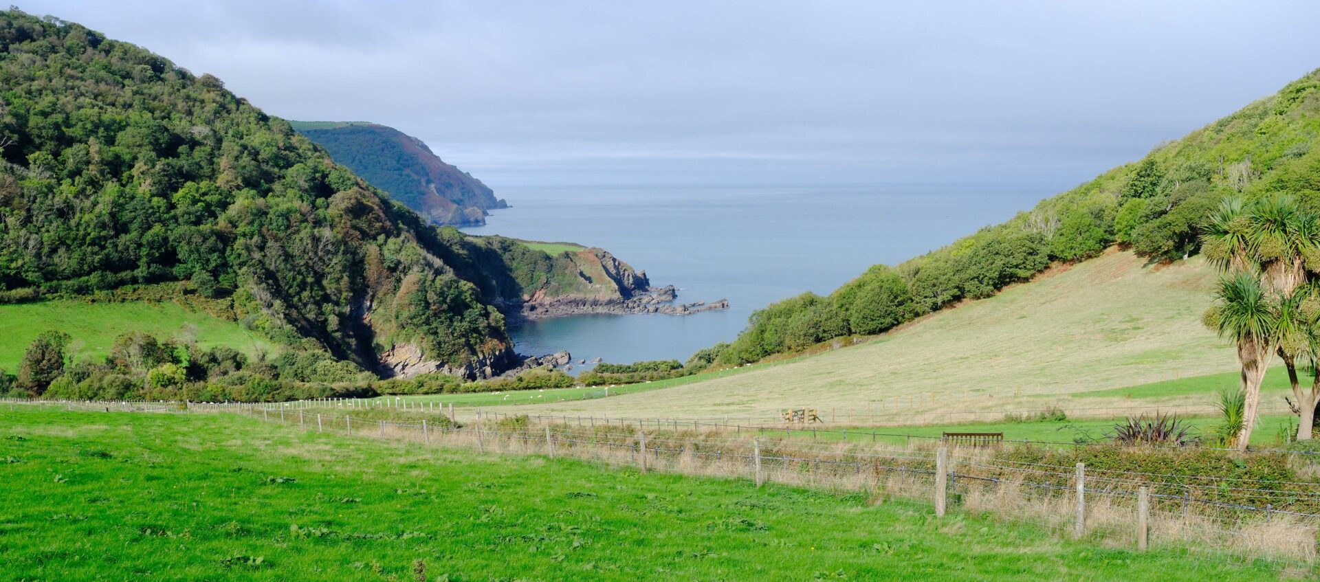
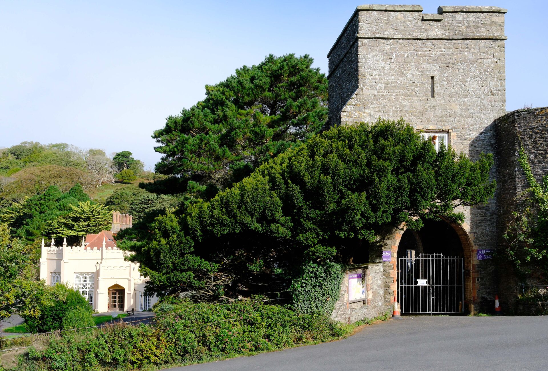
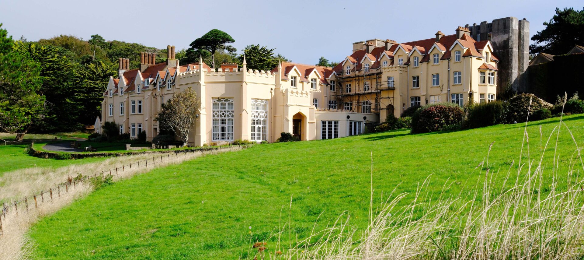
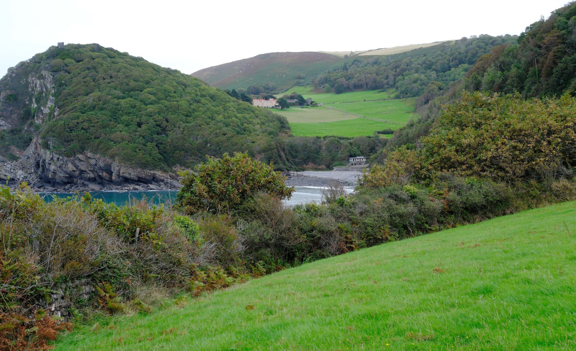
I started walking just after 10 O’Clock from Lee Abbey, a christian retreat. The first section was downhill on a single track road and then I turned off on a path around the headland which avoided a windy section of road. There was a bit of road walking on this day and it was noticeable how few passing places for vehicles that there were. You would have to be good at reversing if you want to use this road from Lee Abbey to Martinhoe!
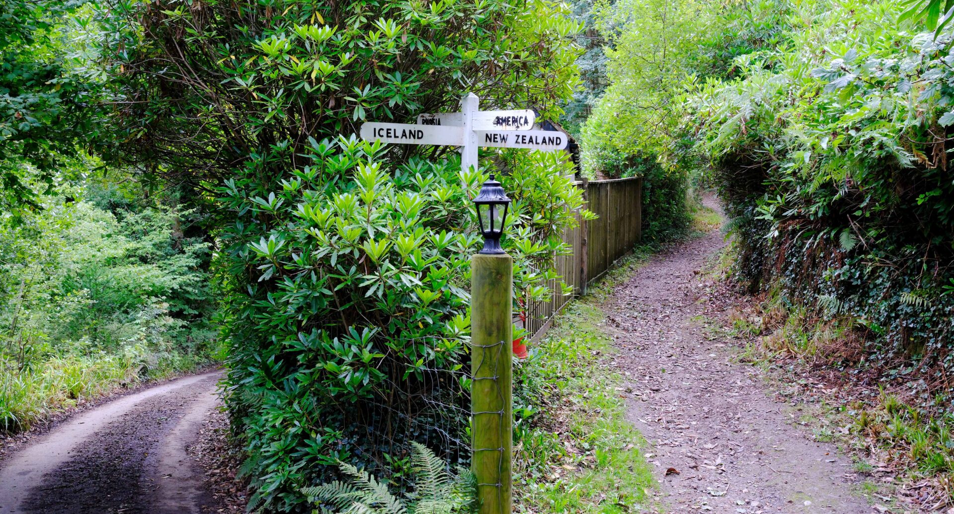
The first place I came to was Woody Bay, although I didn’t go down to the bay which would have been a bit of a diversion and I could hear a lot of construction noise so not a tranquil place to take a break today. There was an interesting signpost pointing to America, Iceland, New Zealand and Russia. I’m not sure how useful that is to people walking the South West Coast Path!
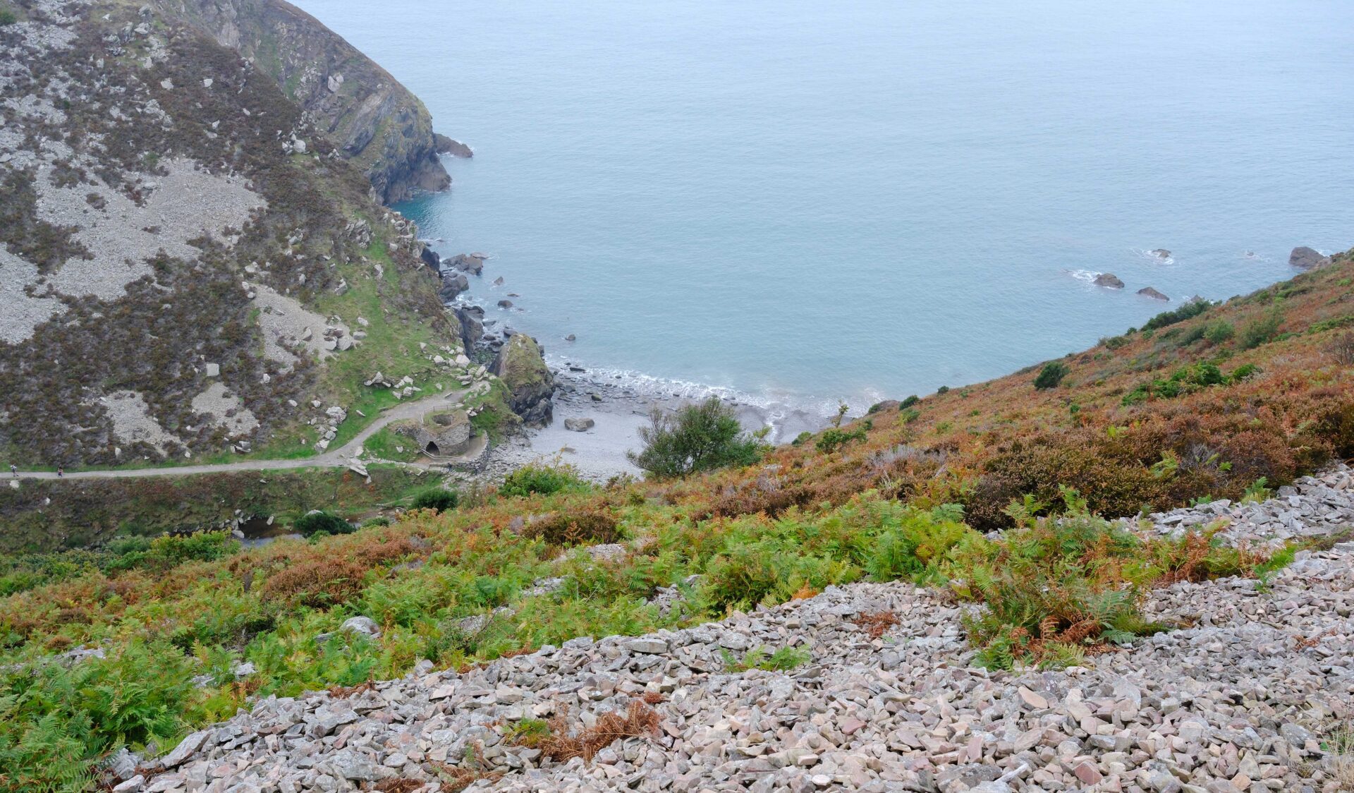
The first place I met some people was at Heddons Mouth, there’s a car park and Hunter Inn nearby to explain that. The SCWP didn’t have many walkers on it from there, they just seemed to be heading for the sea. In fact I didn’t see many walkers at all day.
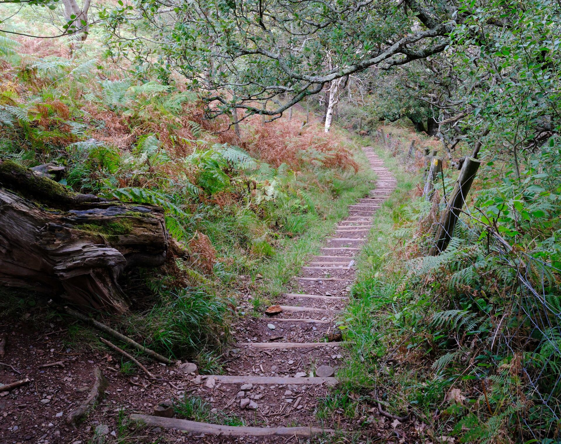
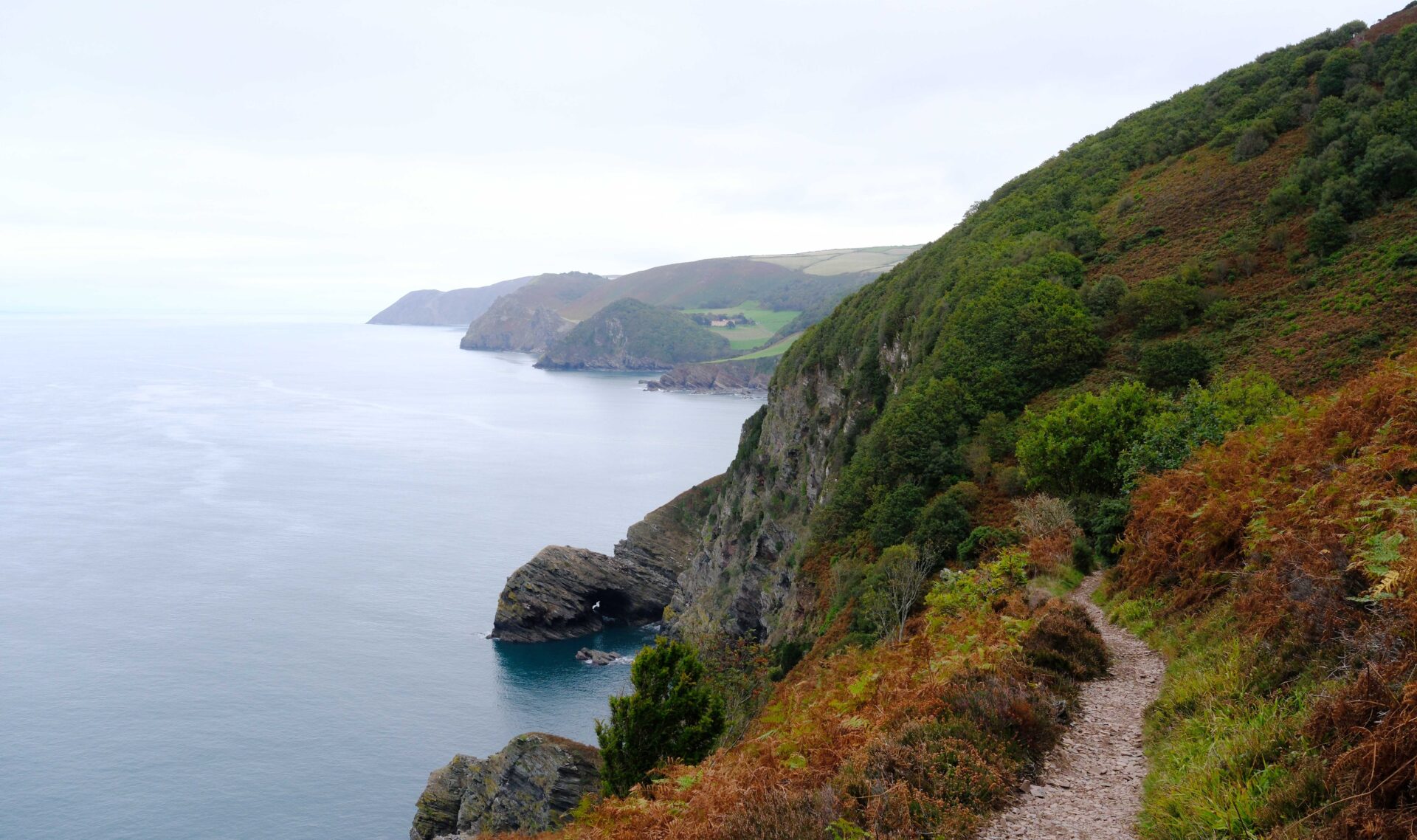
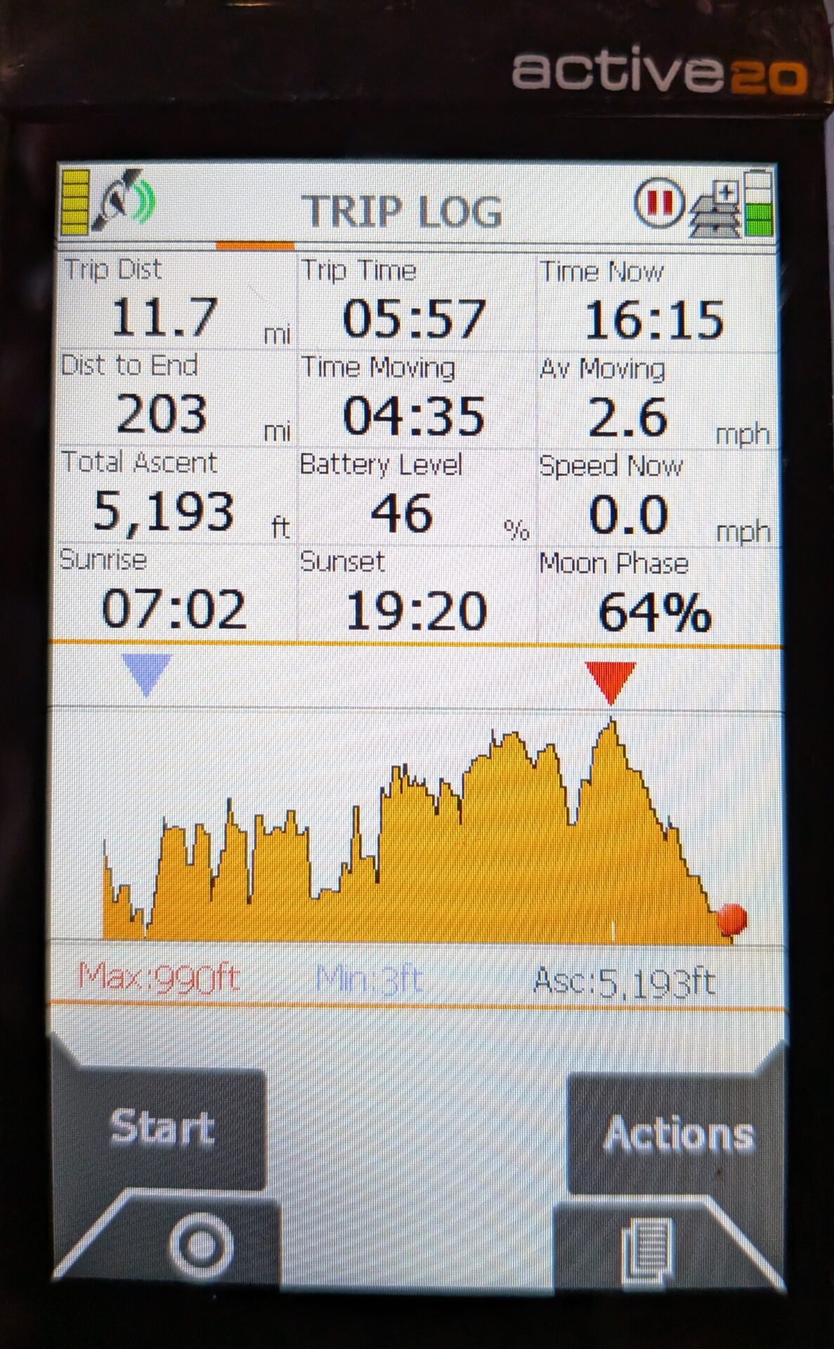
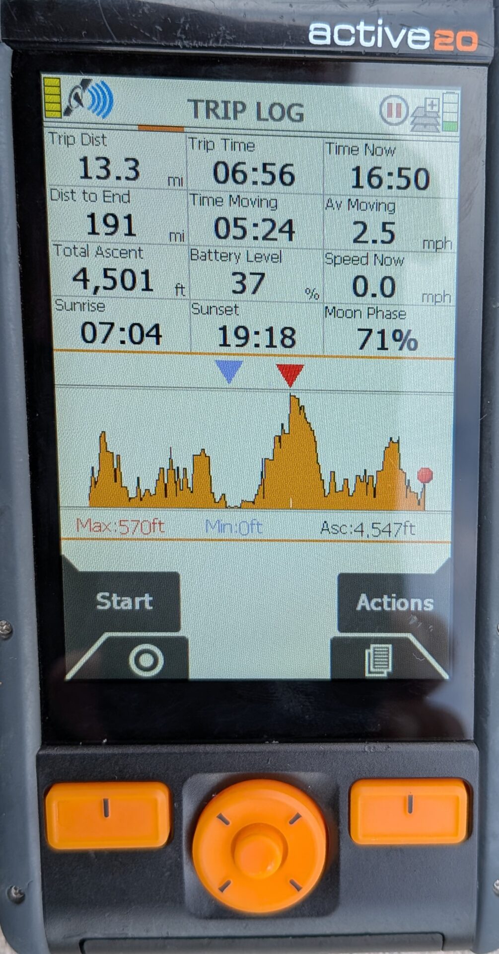
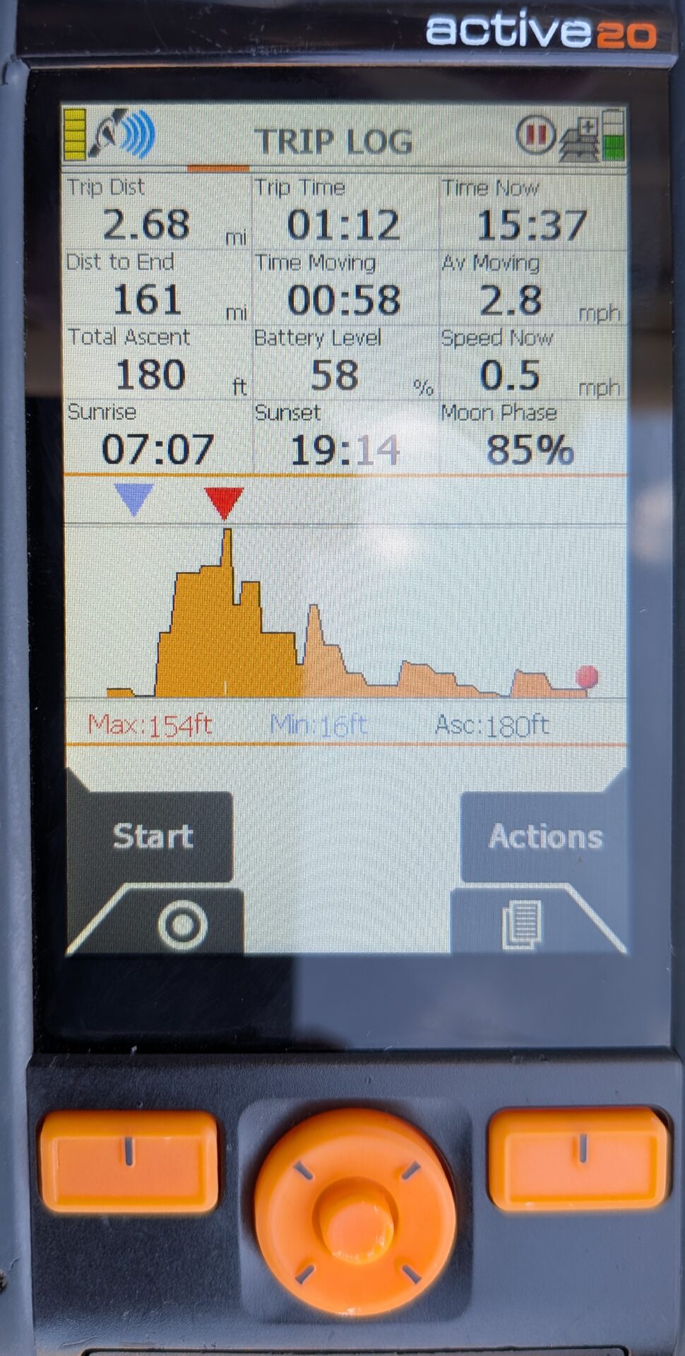
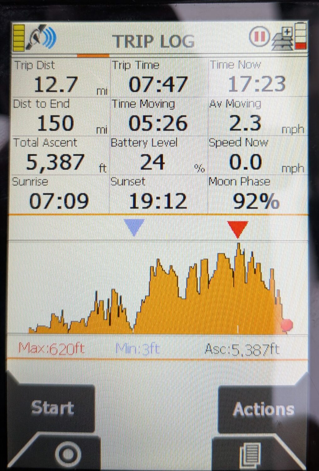
The day contained a lot of up and down walking, my GPS told me I’d done 5200 feet of ascent which is more than some Munro’s (3000ft mountains that I’ve done in Scotland)! I think the trees may have blocked the GPS signal in a few places causing it to hunt a bit which inflated the number a bit although the distance seemed about right when comparing it to my wrist tracker.
I passed a few people going the opposite way to me around Holdstone Down, mostly dog walkers, and for the last section over Great Hangman down into Combe Martin.
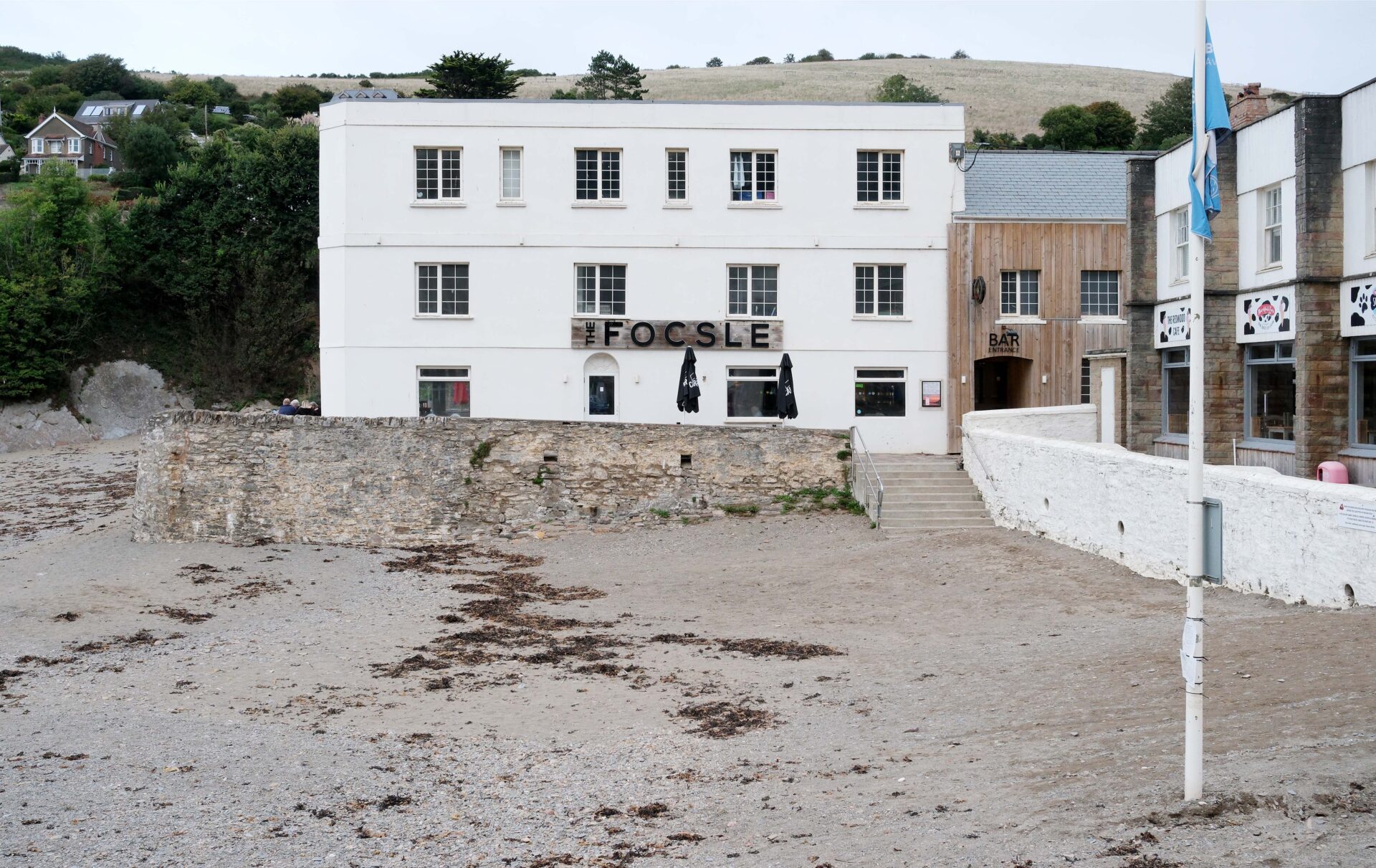
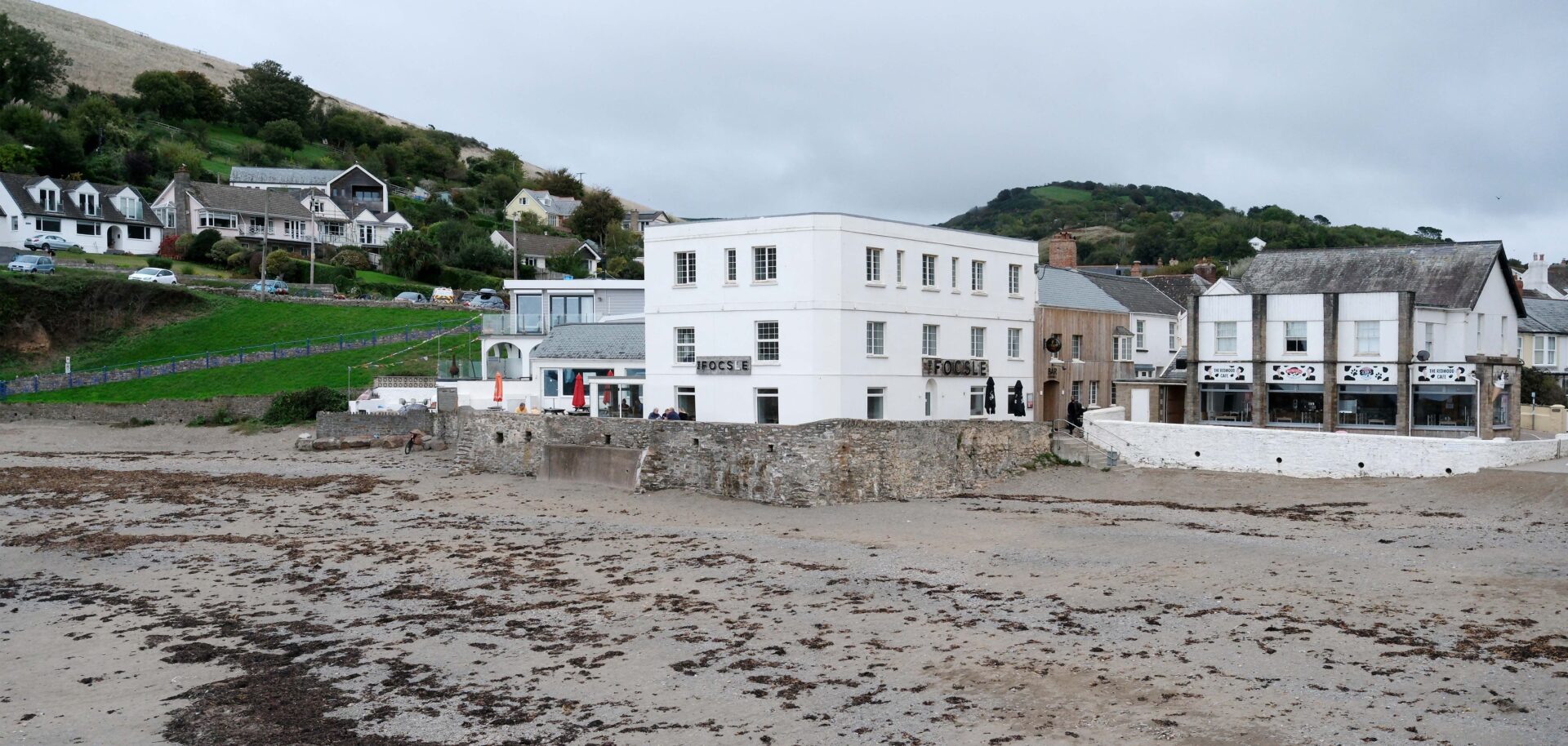
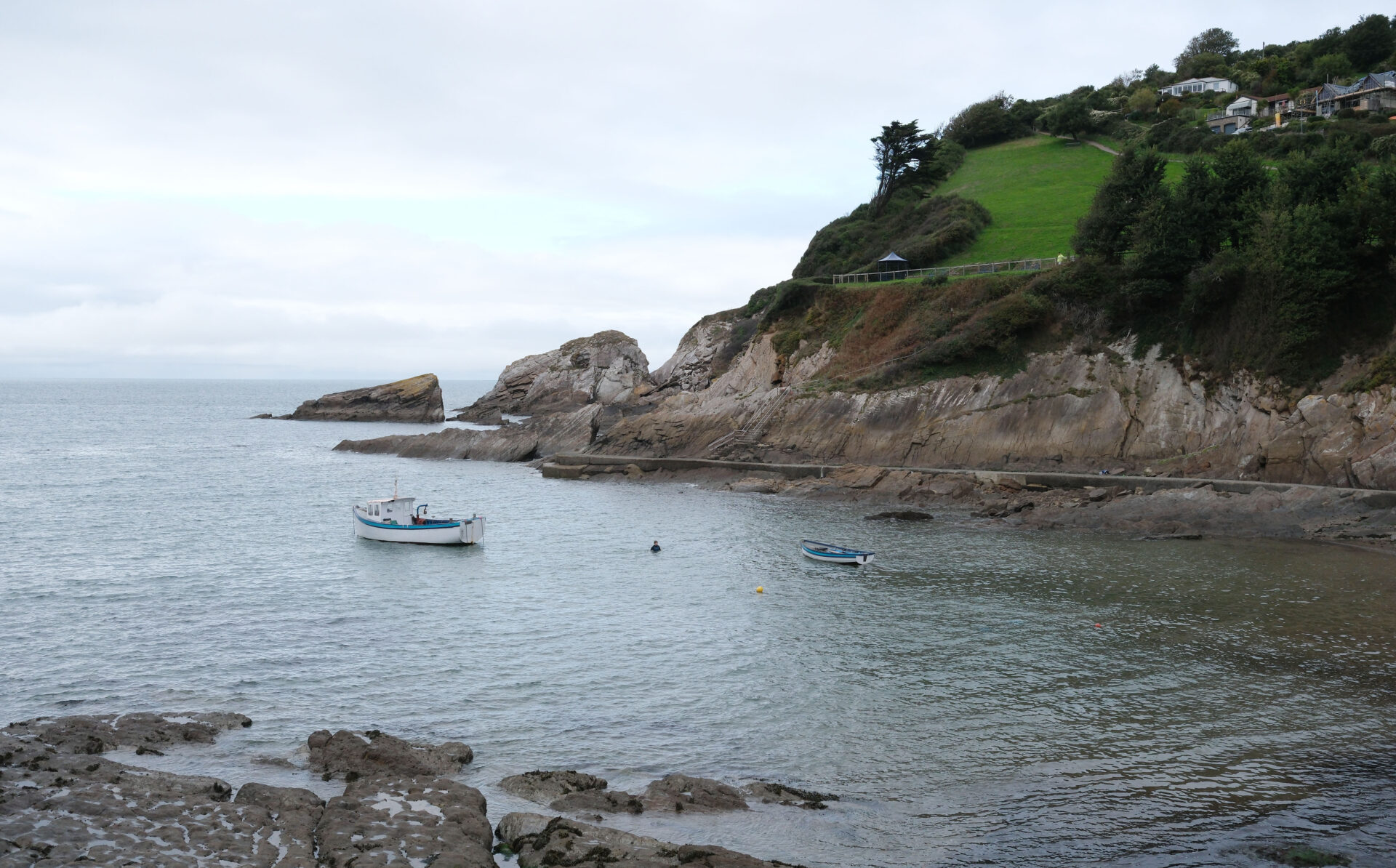
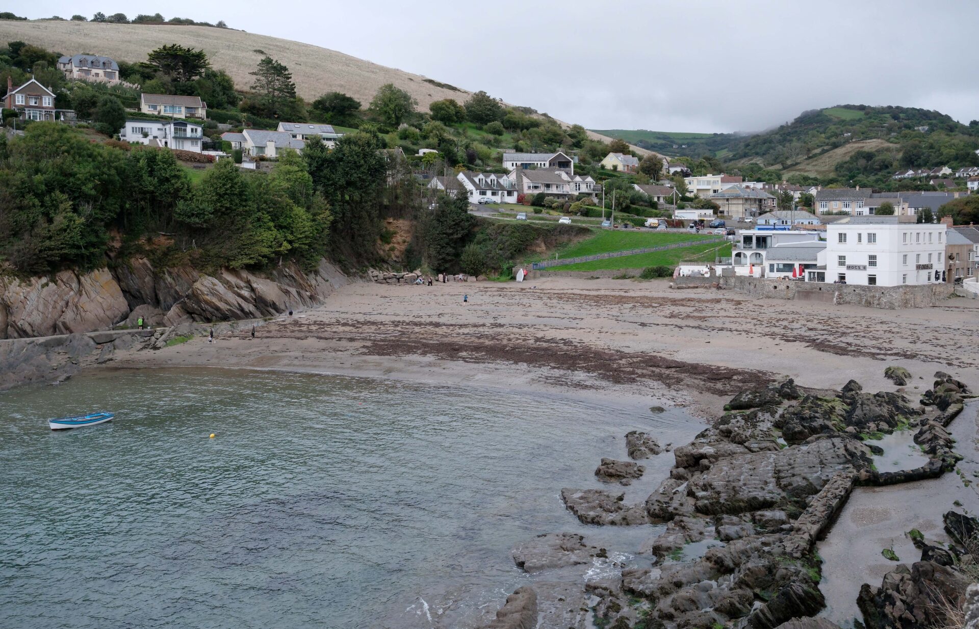
Jan and I kept in touch during the day by text message and she was walking up the last slope to meet me as I came down to the village. We’d already agreed to meet in the Foc’sle pub because hopefully it had better beer than some of the others. It’s also directly on the route so no detour needed. I had a pint of Butcombe Original which was very tasty and then had a second one before we left just to make sure it wasn’t a fluke!
Jan went for fish and chips from the chippie just a few metres along the road from where she’d parked and I waited in the car. The fish and chips was the best we had on the whole trip, it was excellent.
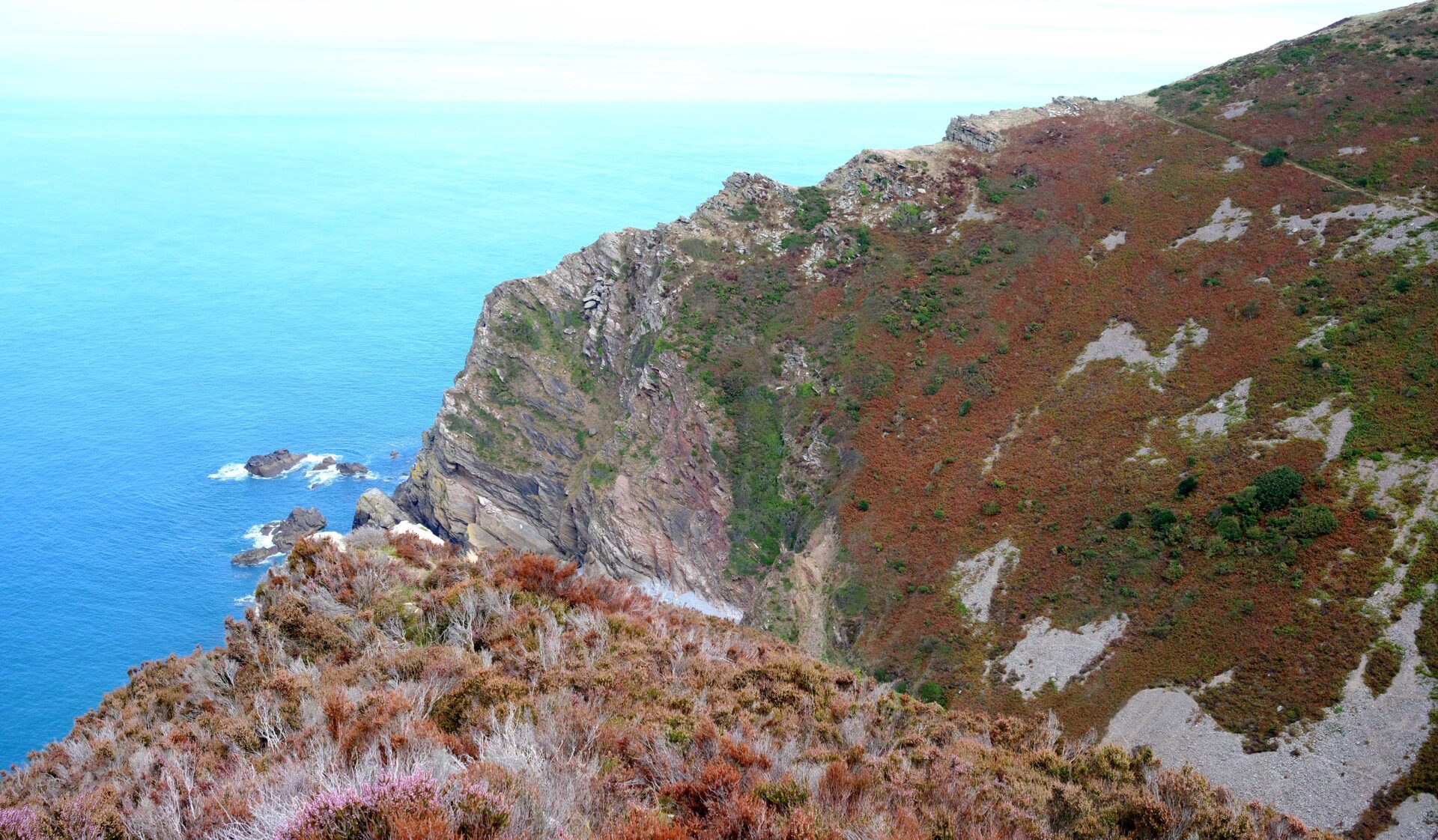
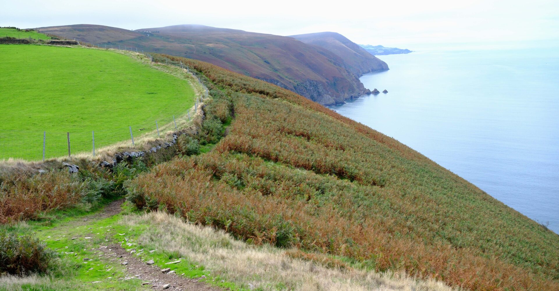
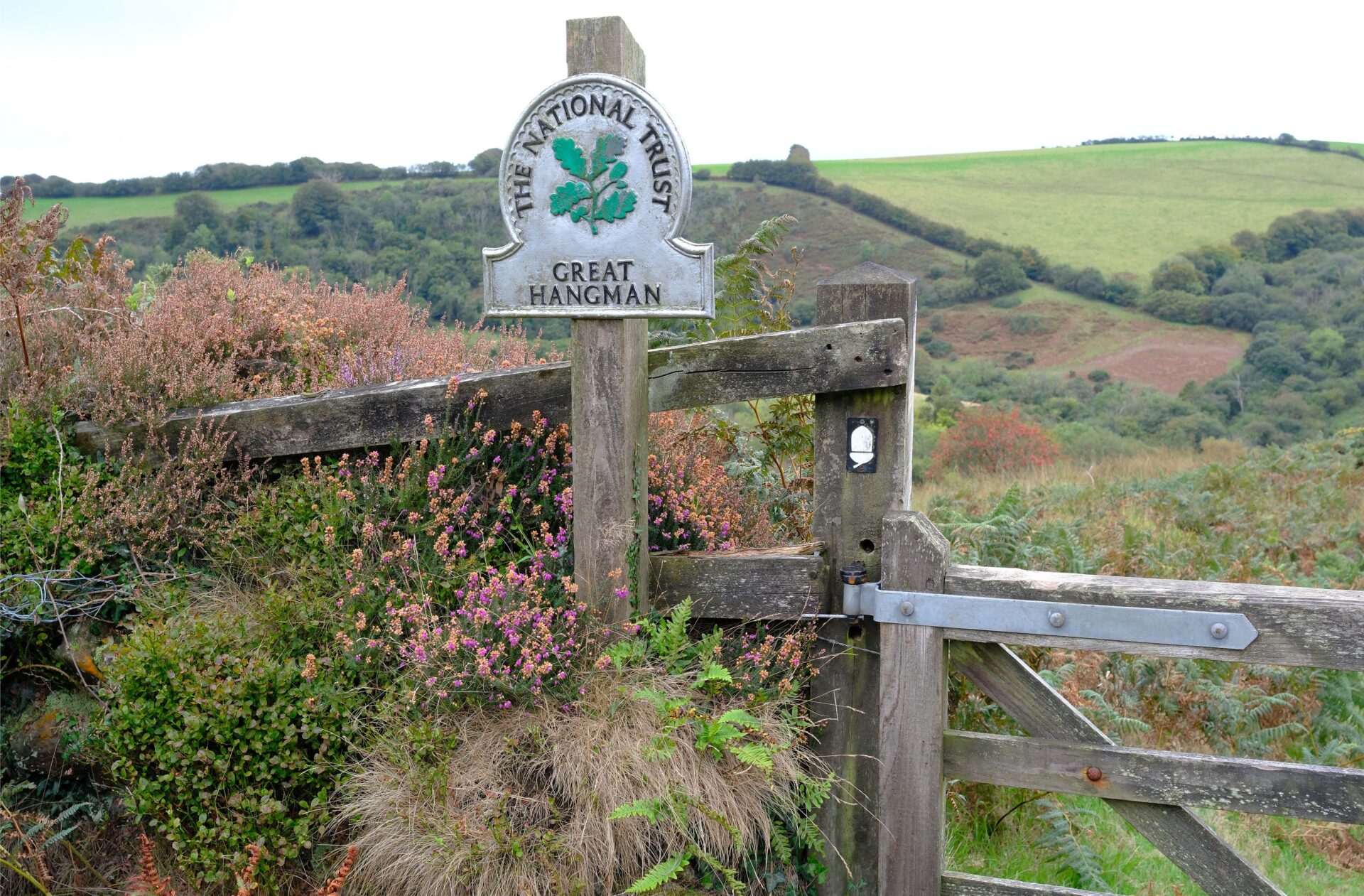
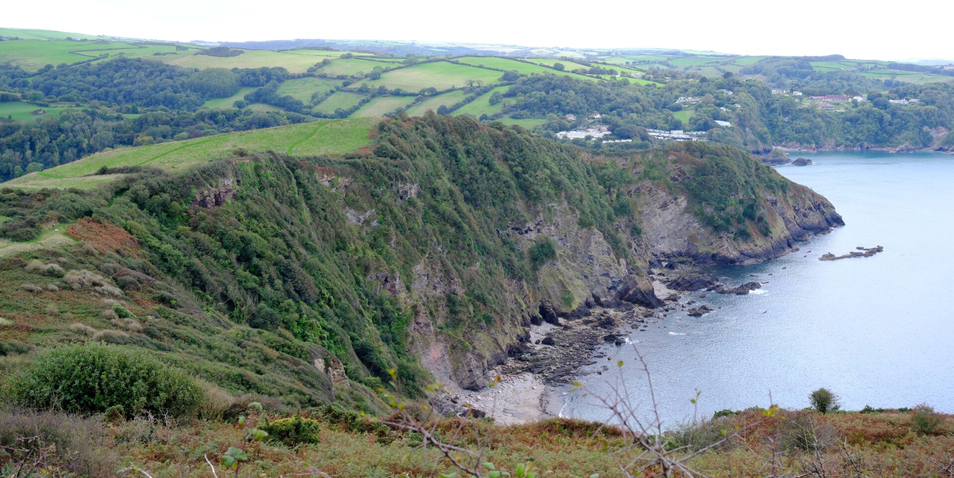
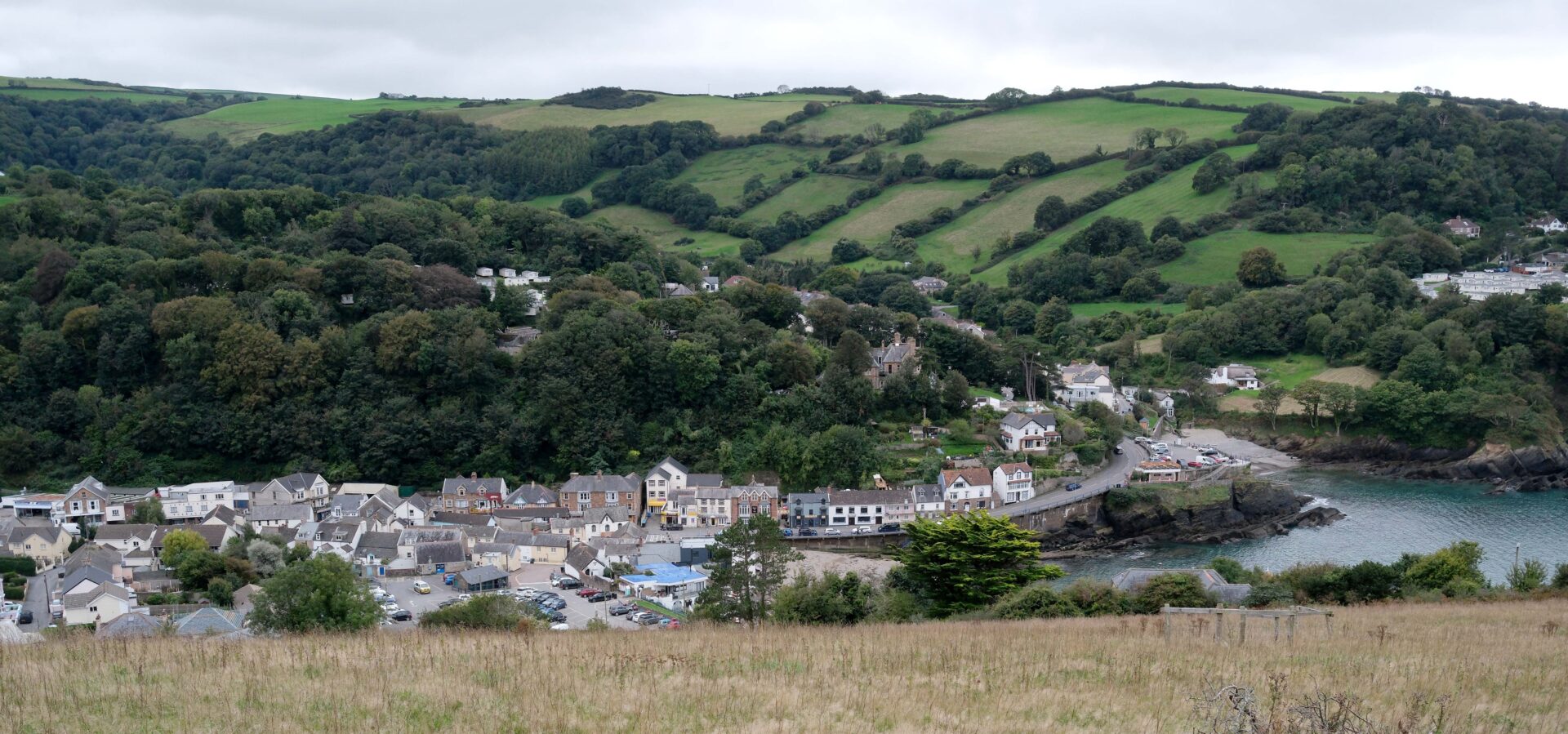
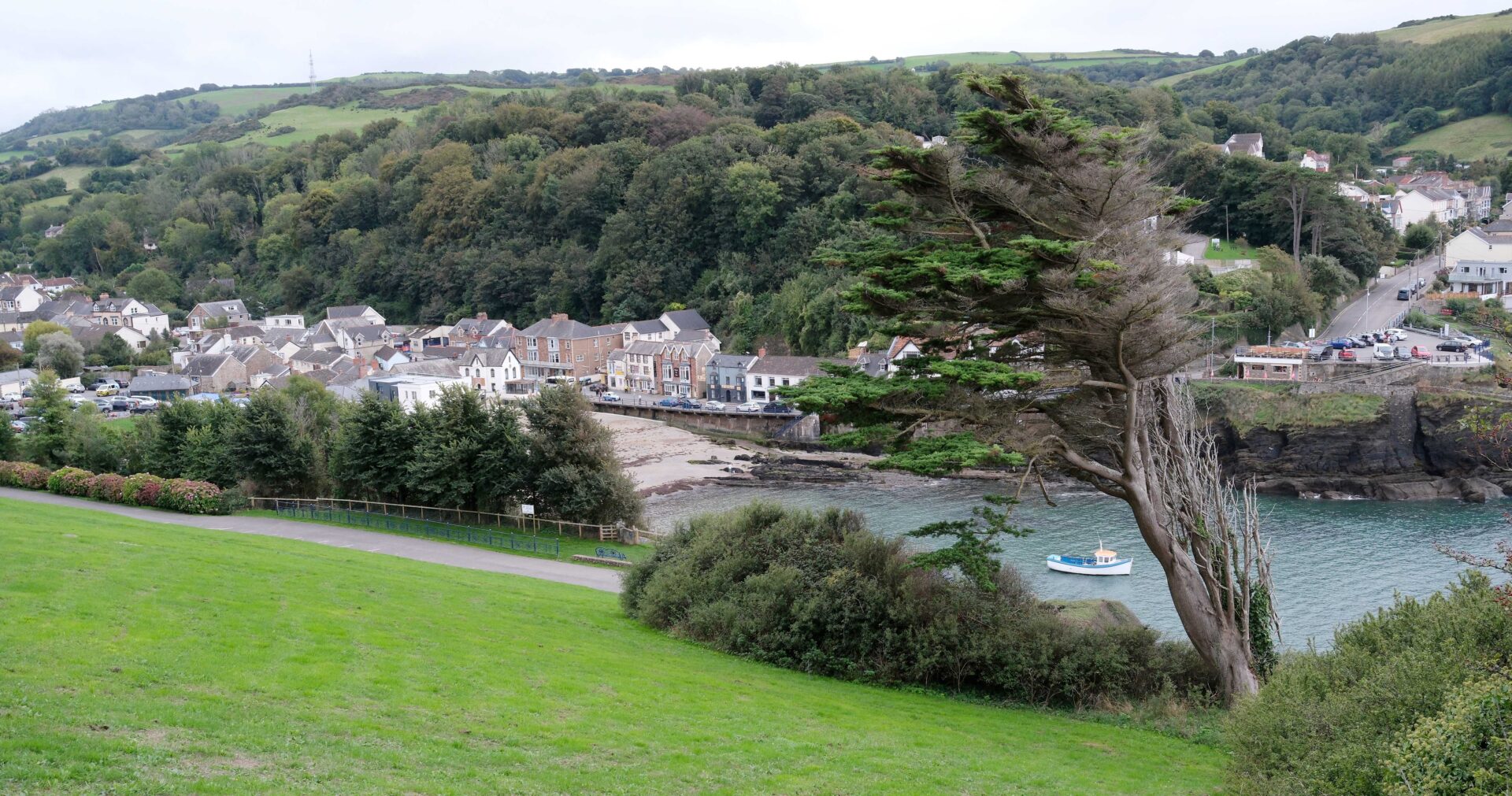
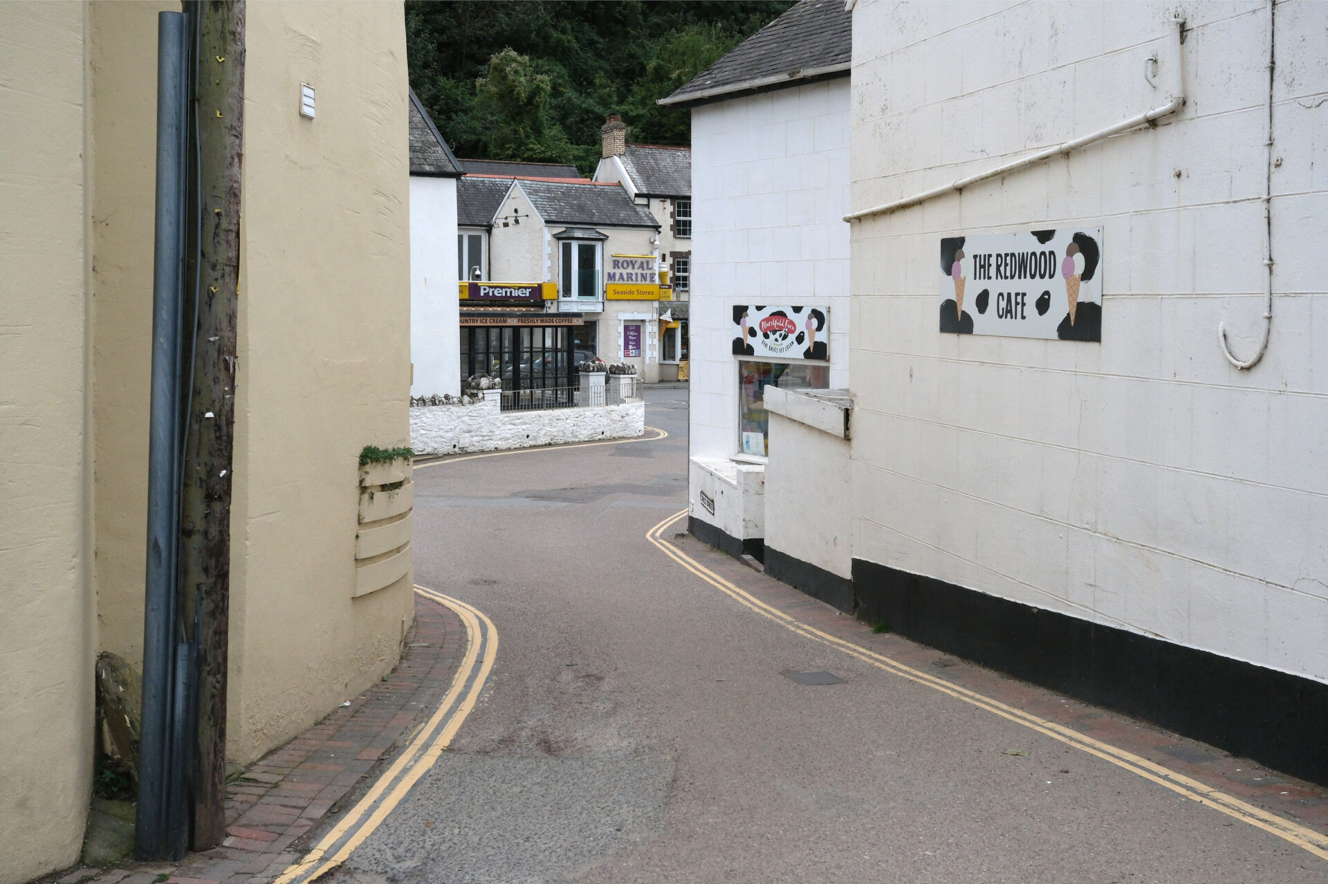
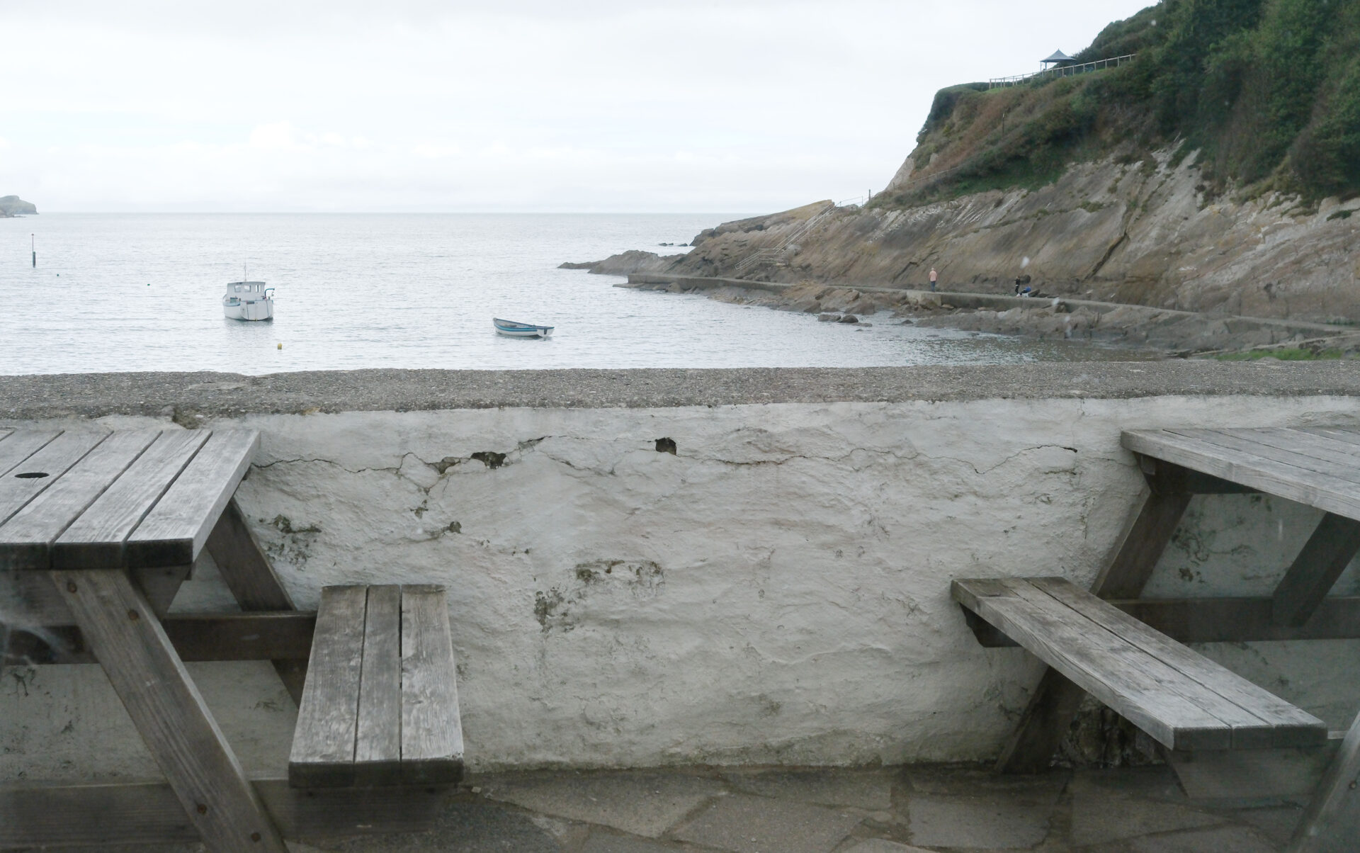
Summary
Overall I walked 11.7 miles in 5h 45m, the temperature was about 22°C and there was about 30 minutes of rain after I’d been walking an hour or so.
Combe Martin to Woolacombe 13.7 miles
We managed an earlier start time today of 9.45am. The route was a bit busier than yesterday as it went through some really popular places.
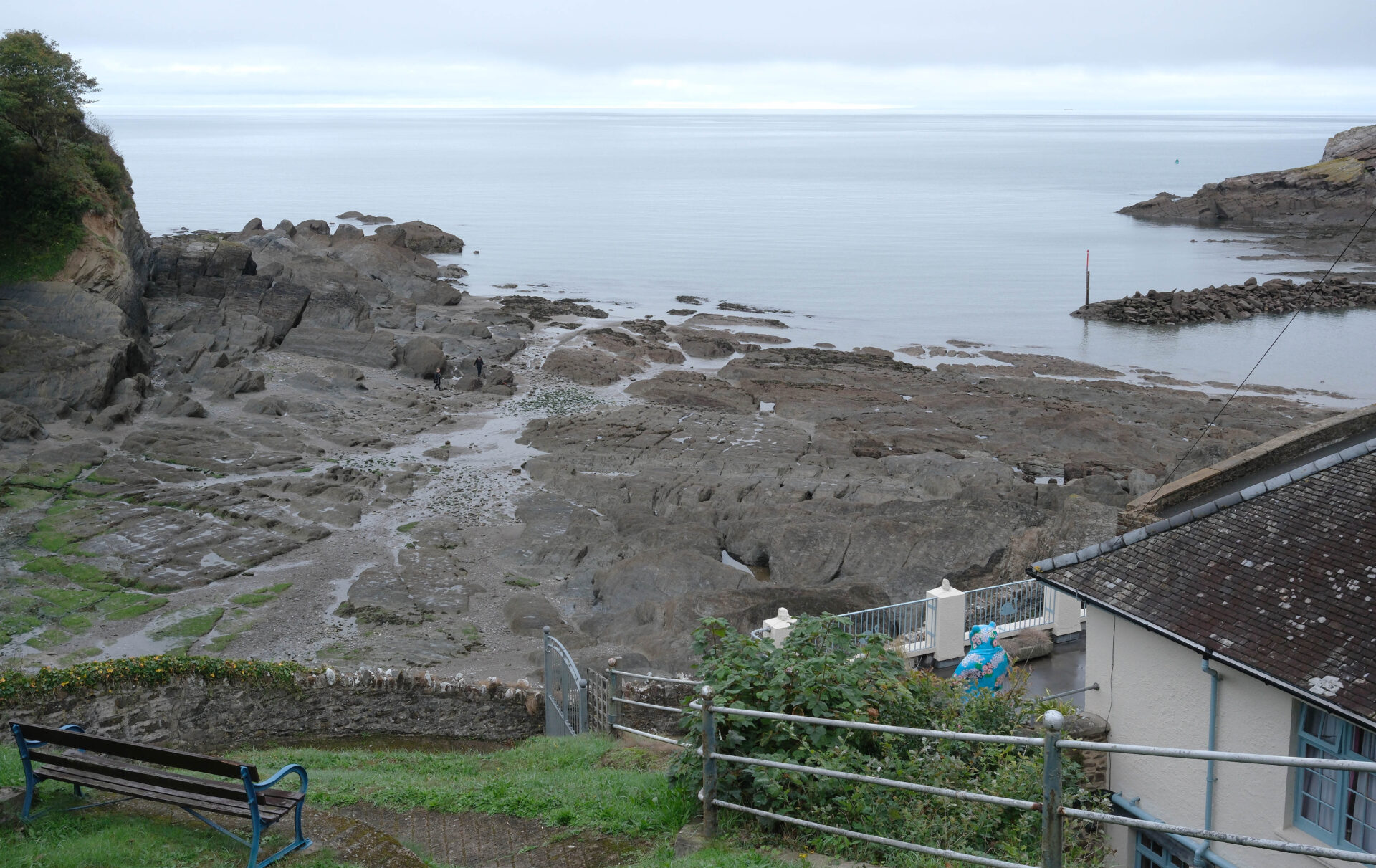
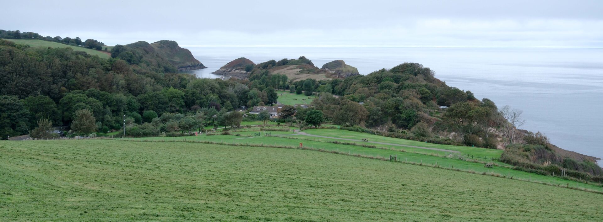
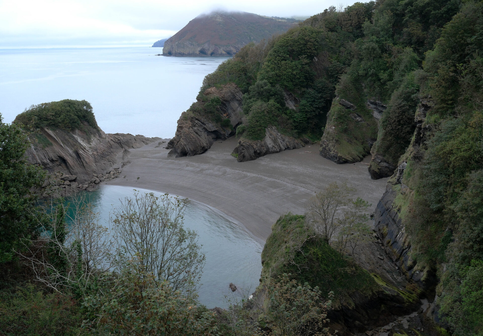
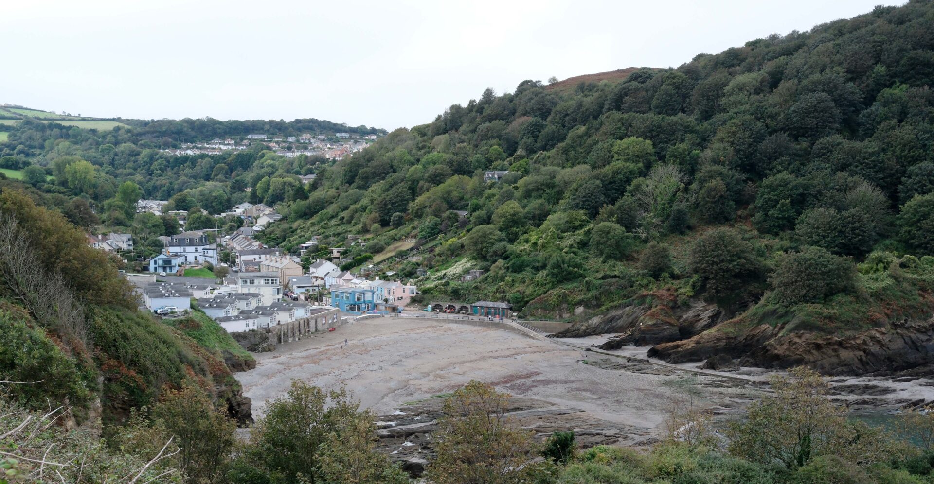
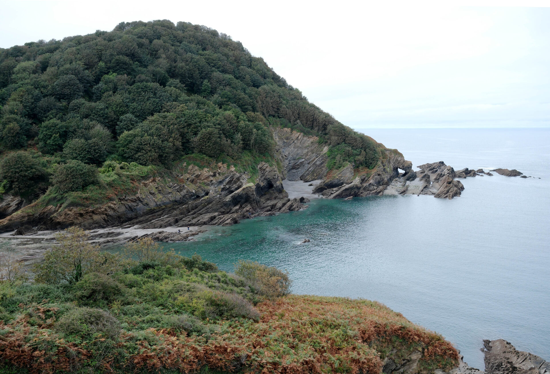
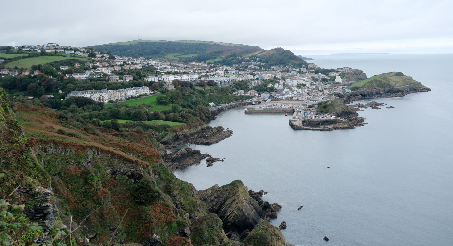
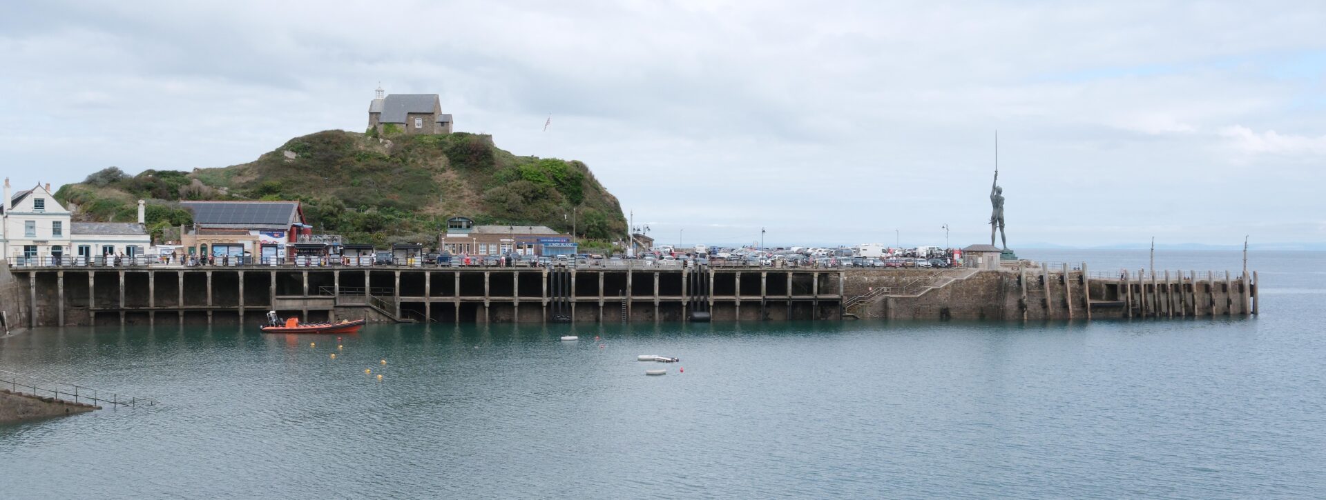
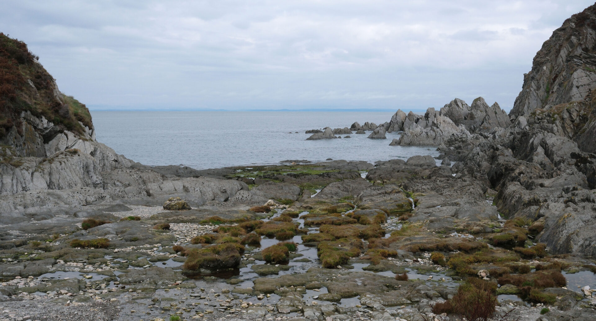
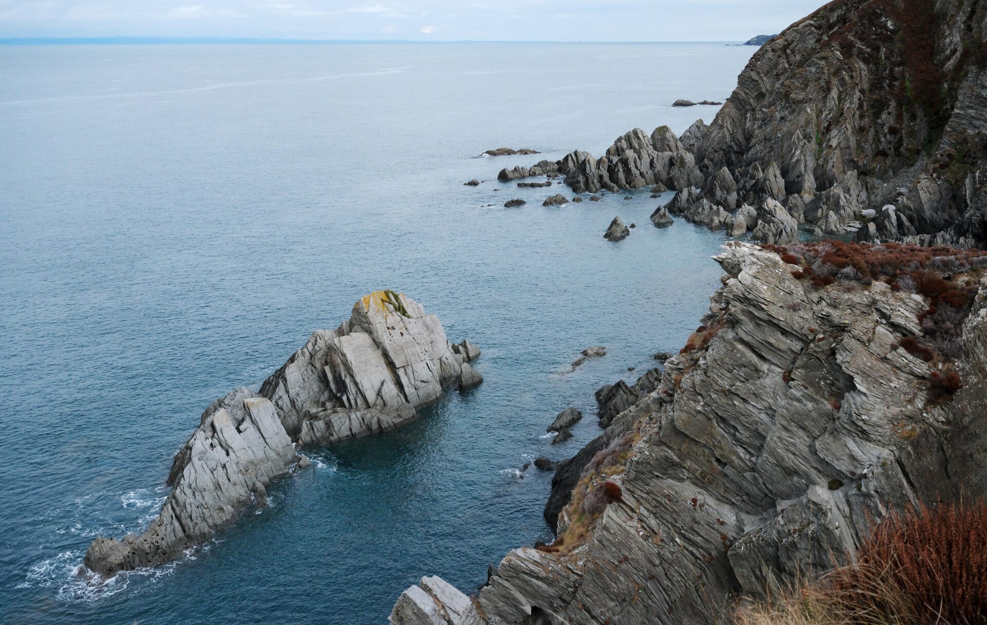
There were some interesting little bays today, as well as a castle, a lighthouse, lots of cliffs and rocks and a small diversion to a pub!
Jan walked with me today as far as Hele near Ilfracombe and turned back at 11.25am. There were hundreds of man made steps on this section, many of which were larger than I can easily manage even though I’m fit and around 1.8m tall – even worse for Jan. Where possible I walked on the slope beside the step. It looks like the wear and tear on the steps from hundreds of thousands of walkers is increasing the height of them?
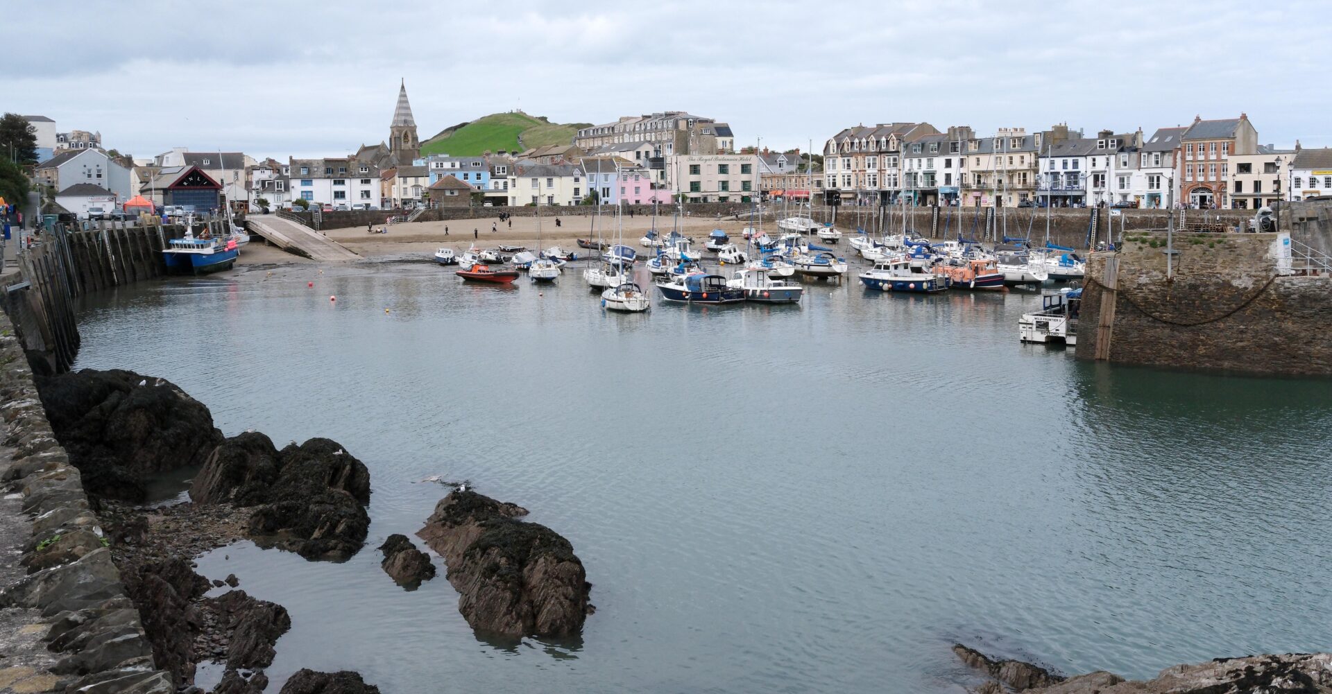
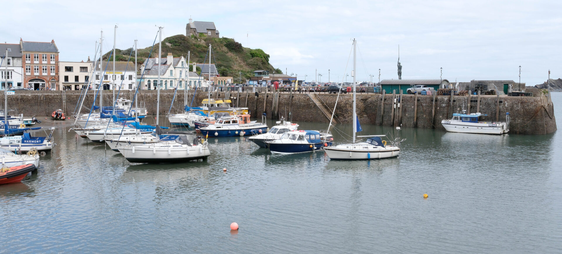
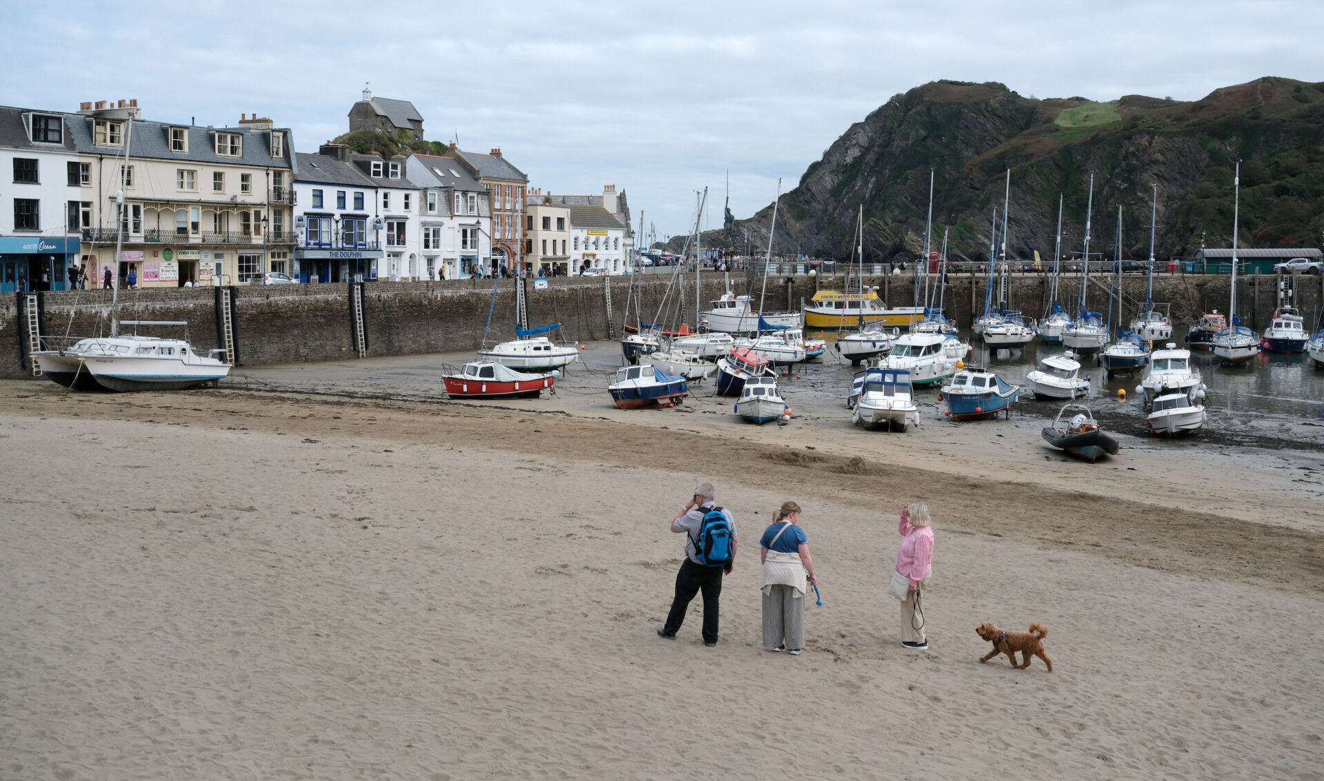
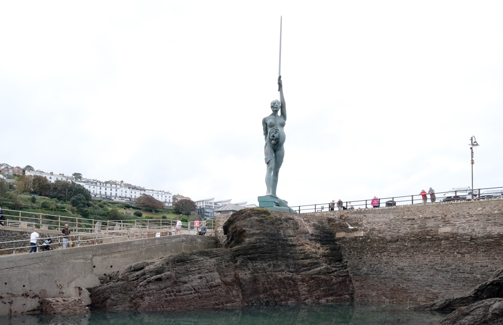
Ilfracombe was busy, people everywhere around the harbour in particular. I briefly stopped for a bite to eat about 20 minutes after leaving Ilfracombe with a view towards the South Wales coast.
A bit over an hour later this was followed by Lee which was a small sleepy, but noisy hamlet because of a large construction site building apartments near the sea.
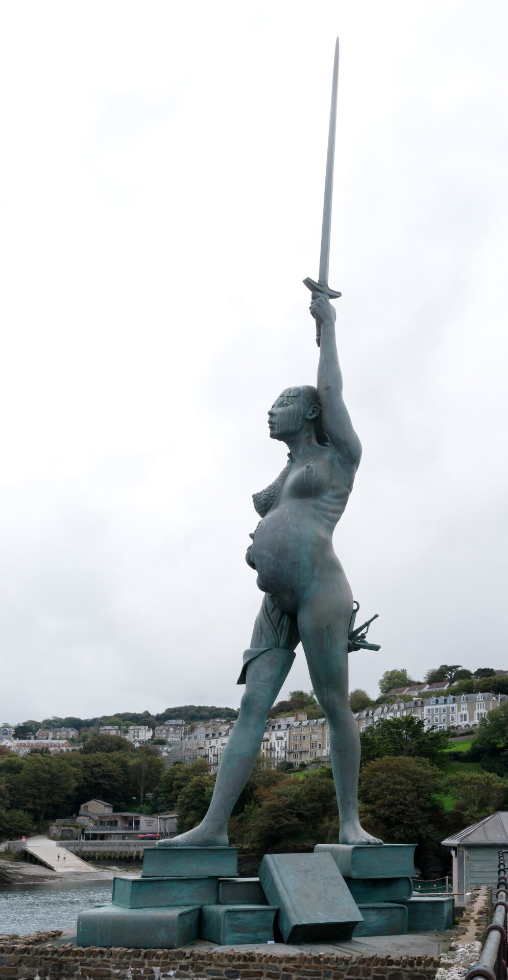
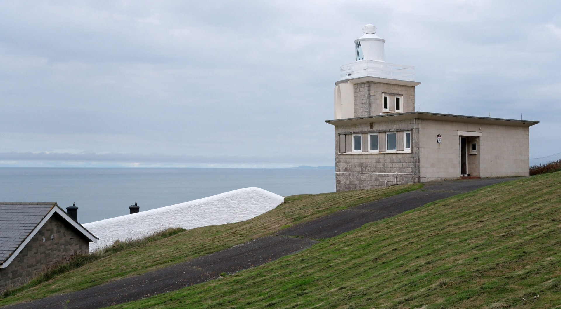
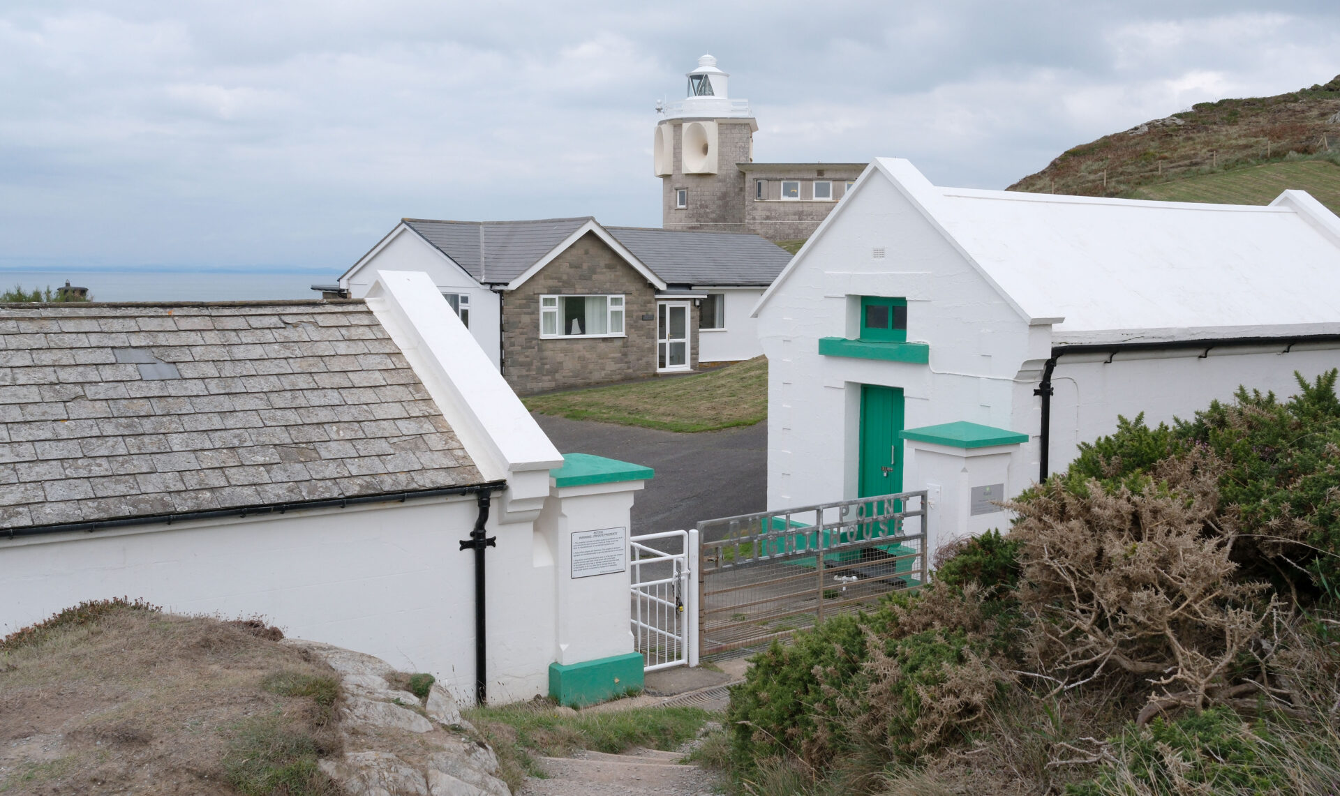
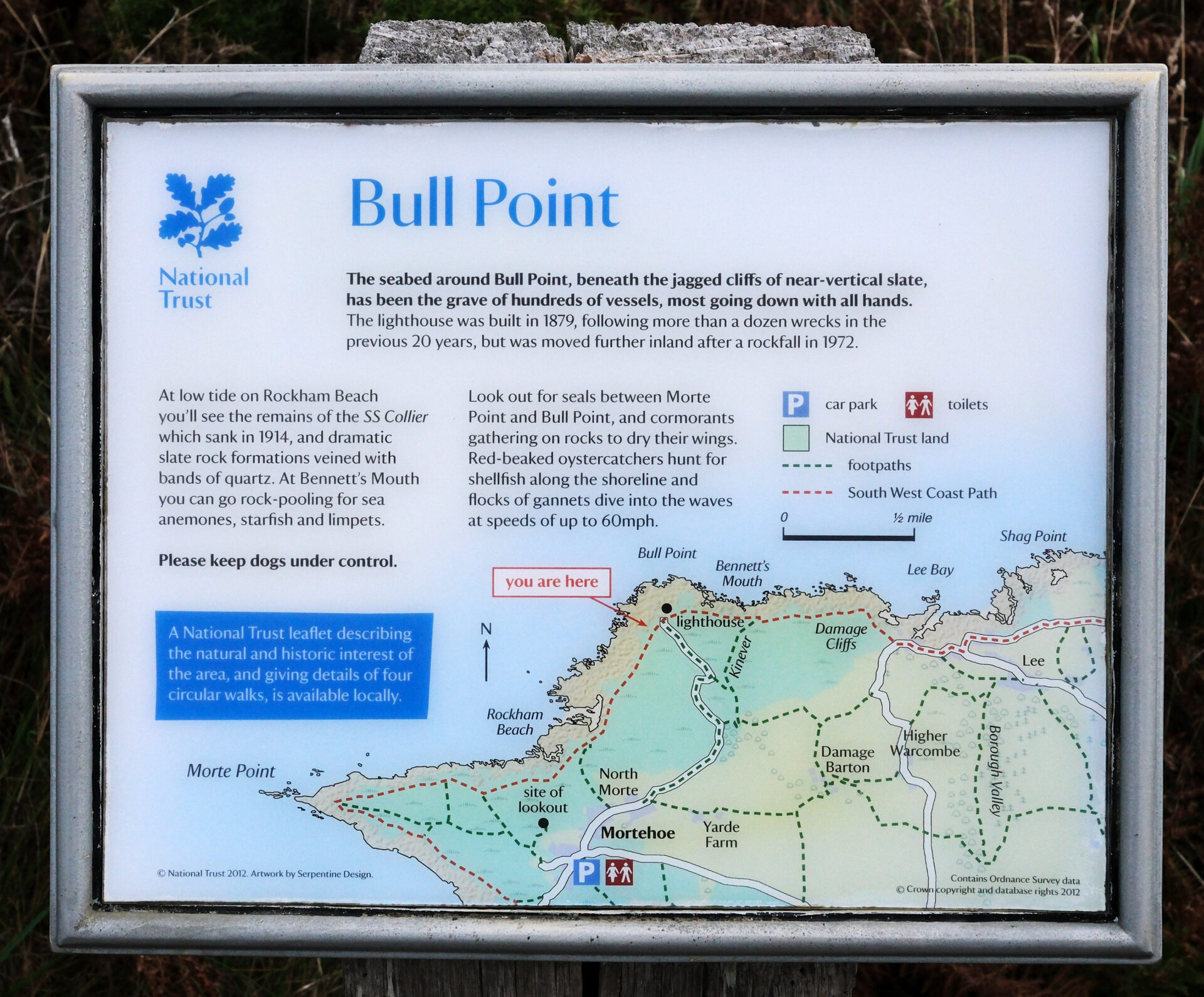
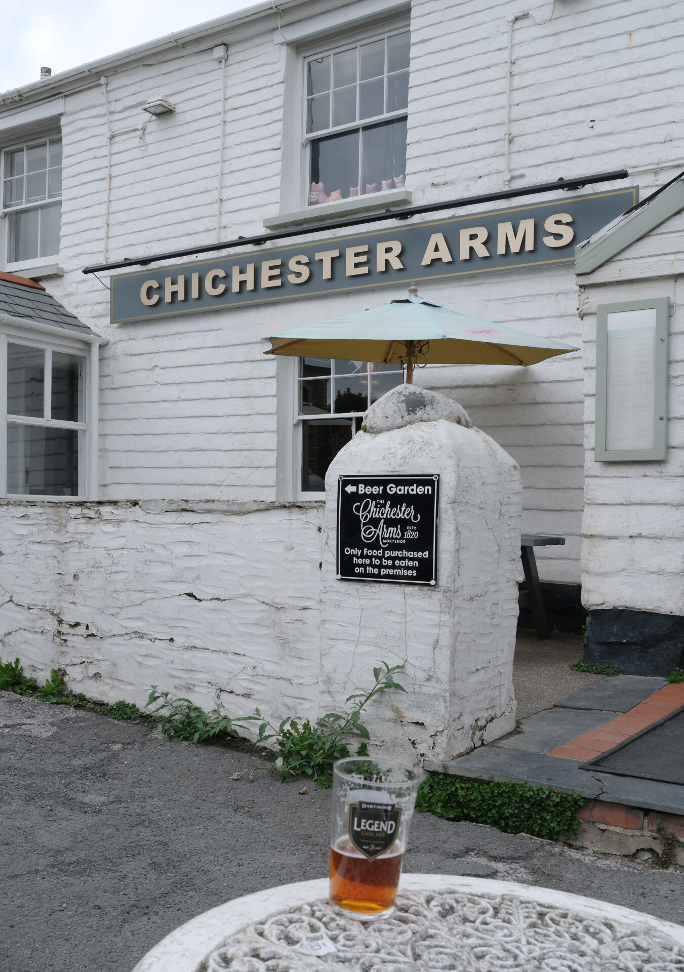
Next came Bull Point Lighthouse at 3.20pm and shortly after this I detoured to a pub in Mortehoe, as planned! I came into Mortehoe on North Morte Road and this took me to the junction at the Smugglers Rest, which was closed, it was about 4pm. I continued south along the main street, past the Ship Aground to the Chichester Arms, it was just a couple of minutes from one end of Mortehoe to the other.
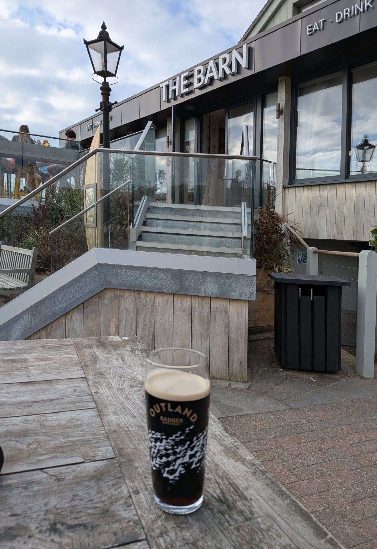
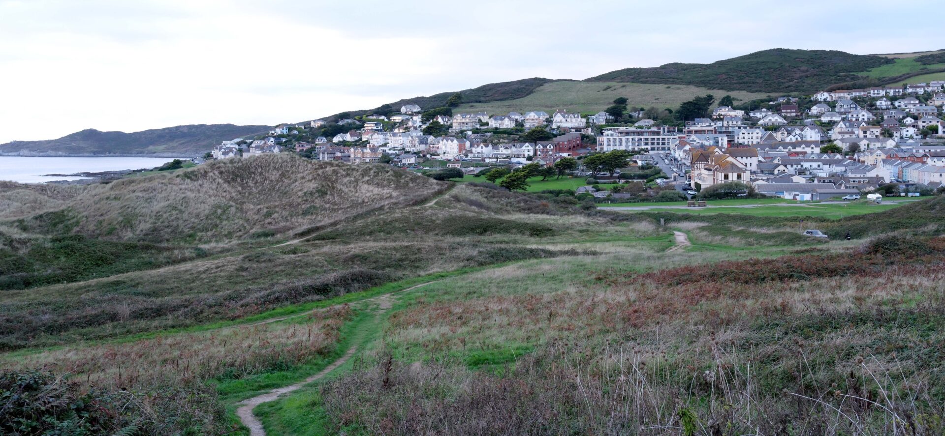
I had an excellent pint of Dartmoor Legend, a tasty smooth bitter and had a chat to some of the others sitting outside, mainly to a pair of golfers, but I didn’t stay long as I had arranged to meet Jan in Woolacombe just down the road. After just a couple of hundred metres the official SWCP joined the road so I followed it all the way to The Barn Inn in Woolacombe at 4.40pm. Jan was inside waiting for me so I went and ordered some drinks for us while Jan found us a table outside – it was still a warm day. I had a very nice pint of Badge Outlander Stout and we ordered some food, mine was quite poor but I was a bit hungry after more than 13 miles with just one Eccles Cake for lunch since breakfast so I just tucked in and had a second pint of Outlander to wash it down properly.
Jan had parked in the National Trust car park about a half-mile south of Woolacombe, still along the official route.
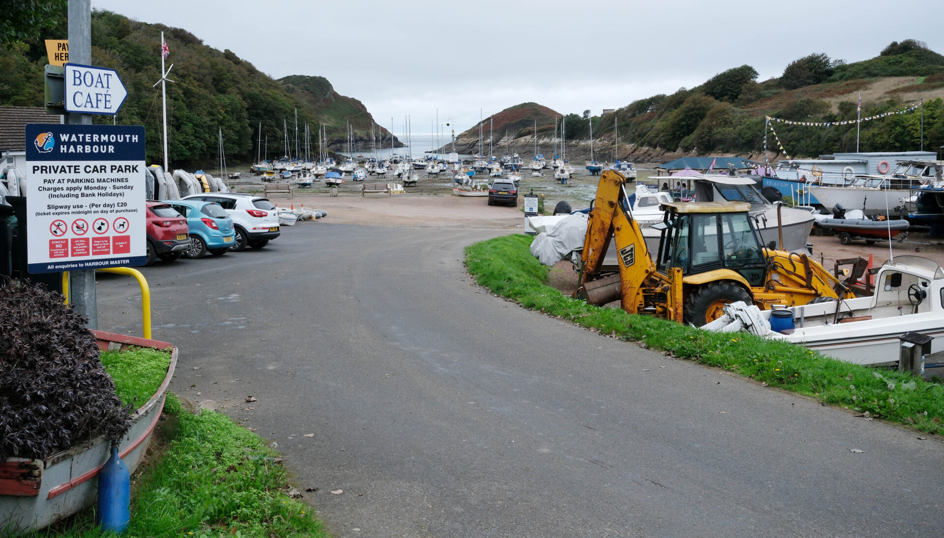
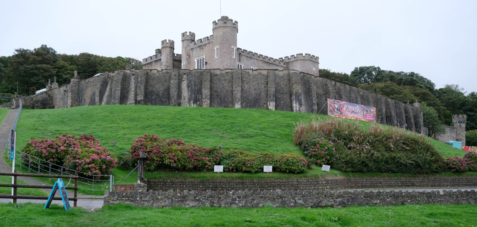
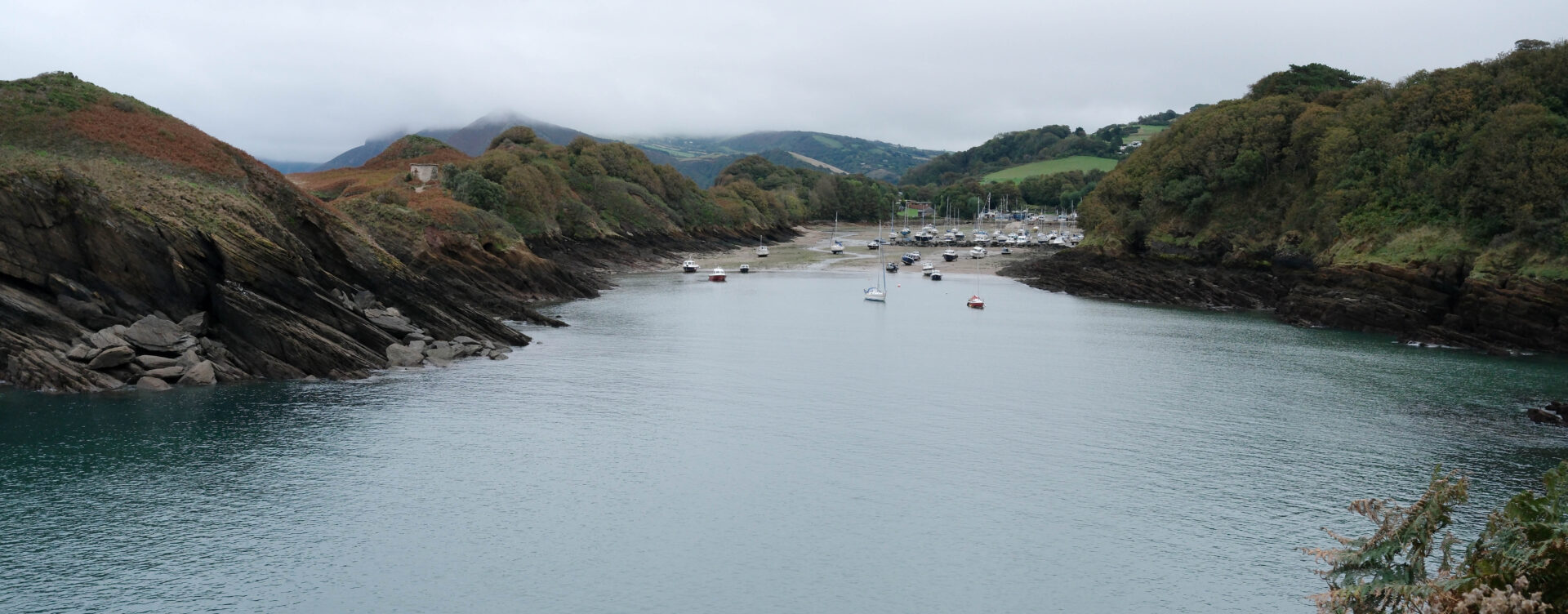
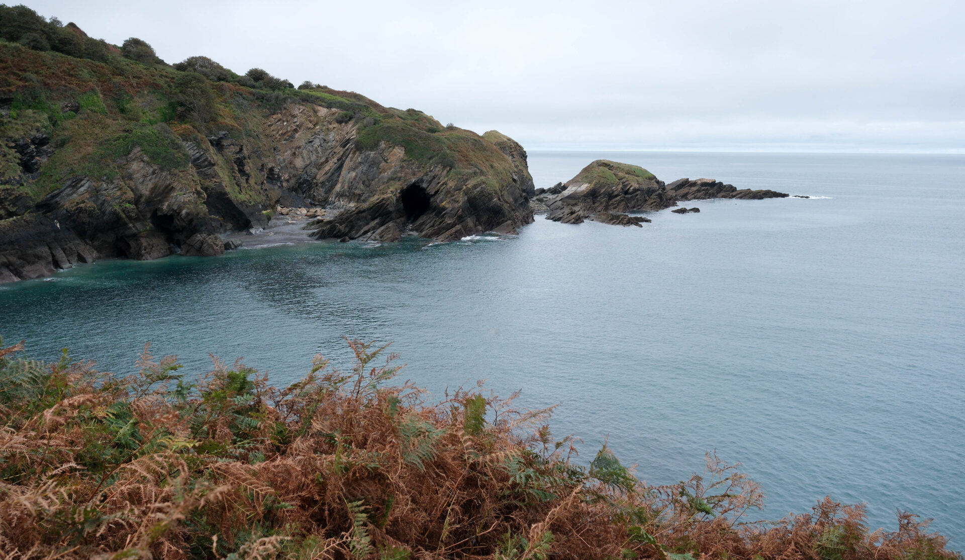
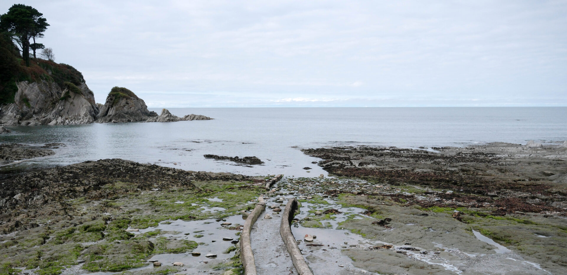
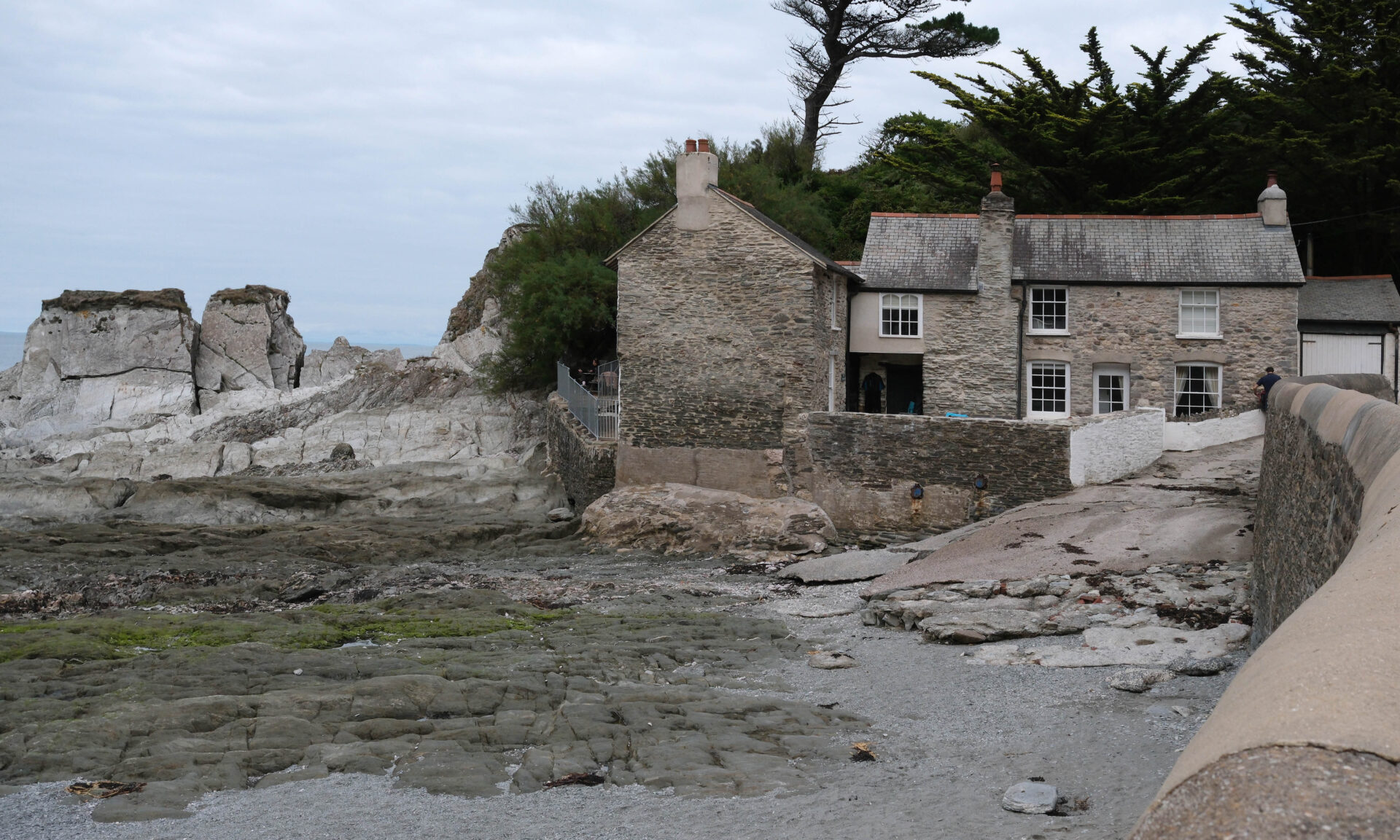
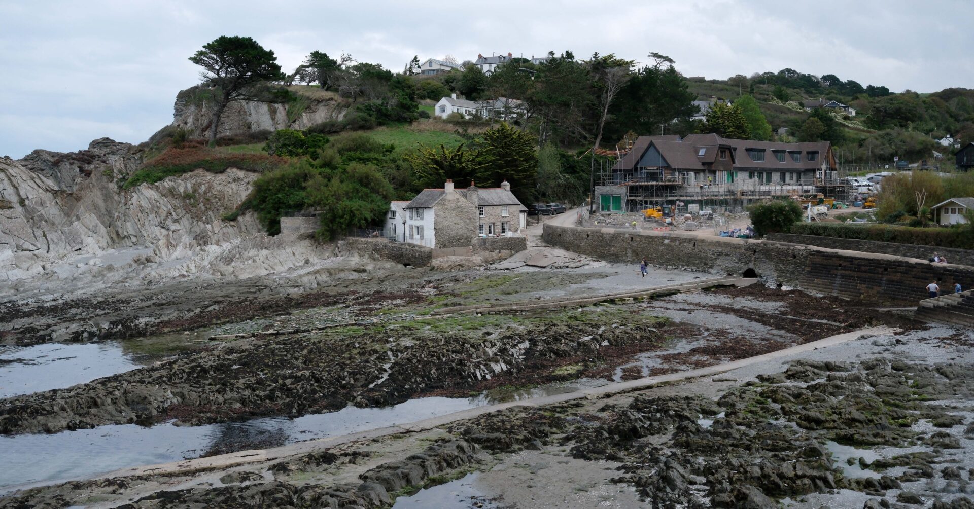
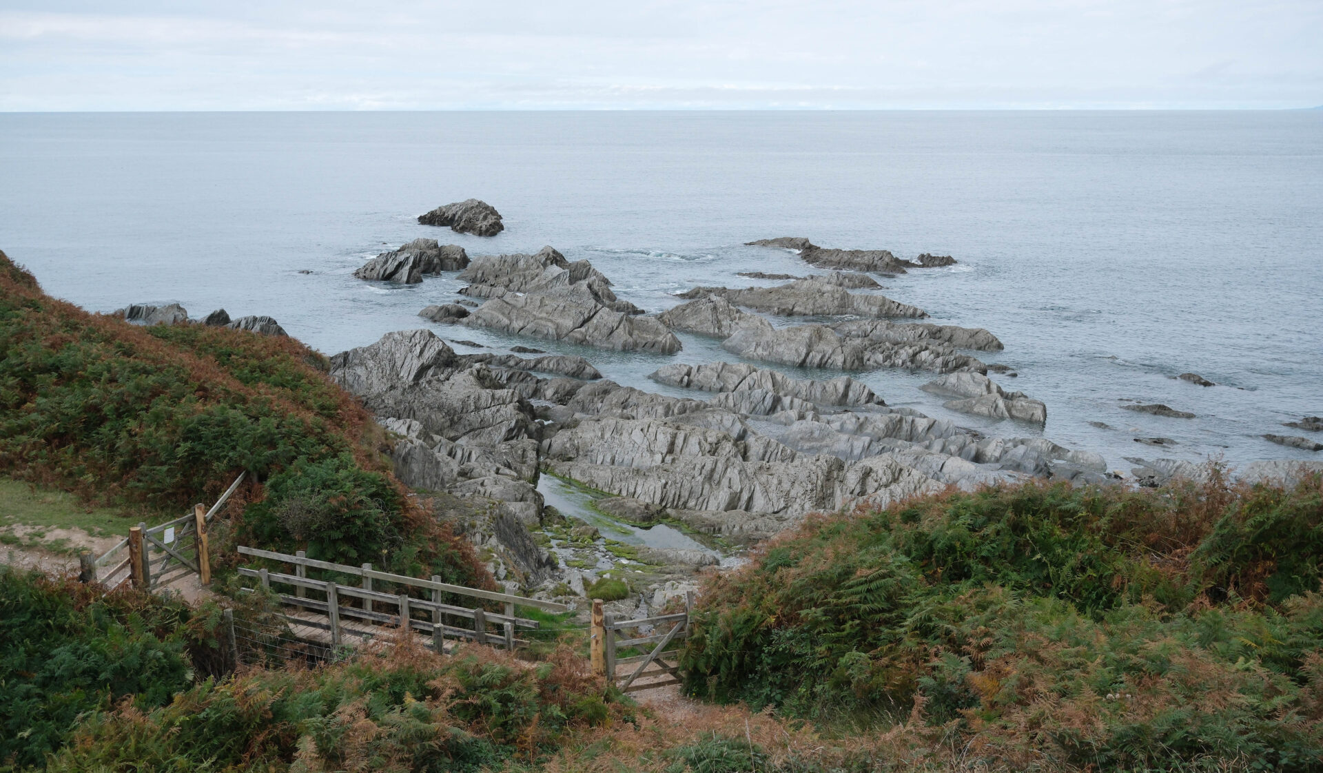
Summary
There was lots of up and down again today, the GPS said 4500 feet of ascent but the book said 3400 feet. The distance from both was more or less the same so I tend to believe the GPS and what my legs were telling me!
In total it was 13.7 miles from Combe Martin to Woolacombe National Trust car park including 0.4 miles from the pub and the short diversion through Mortehoe. It was warm 22°C again.
Woolacombe to Braunton Heanton Court 14 miles
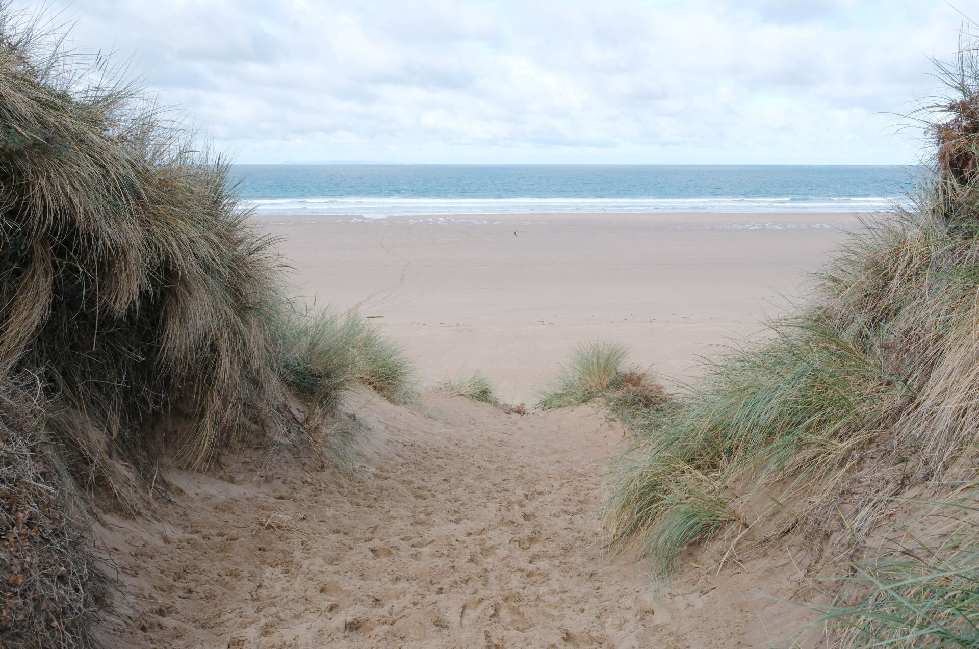
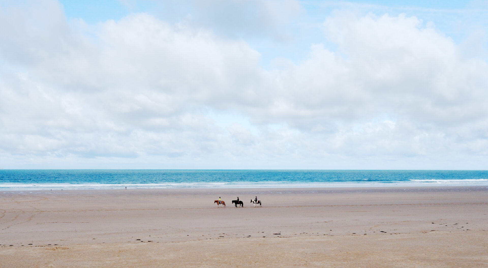
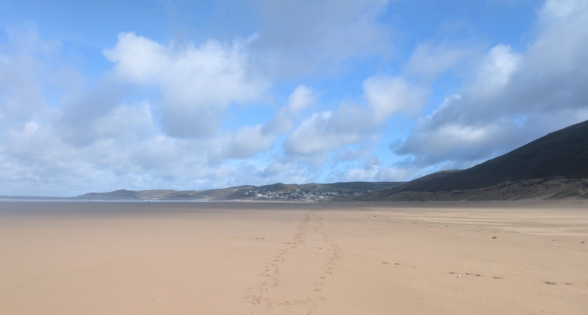
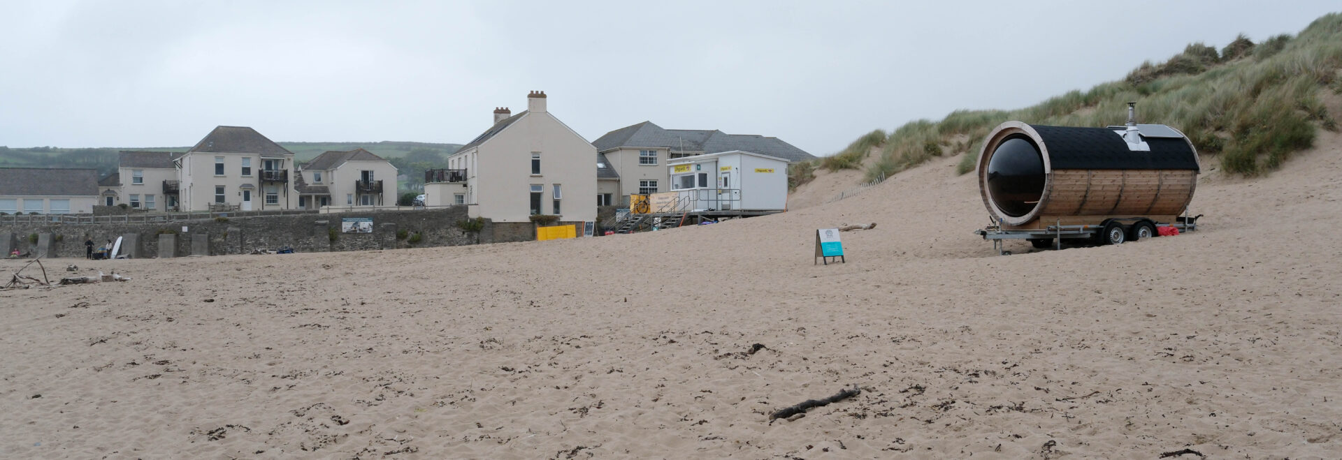
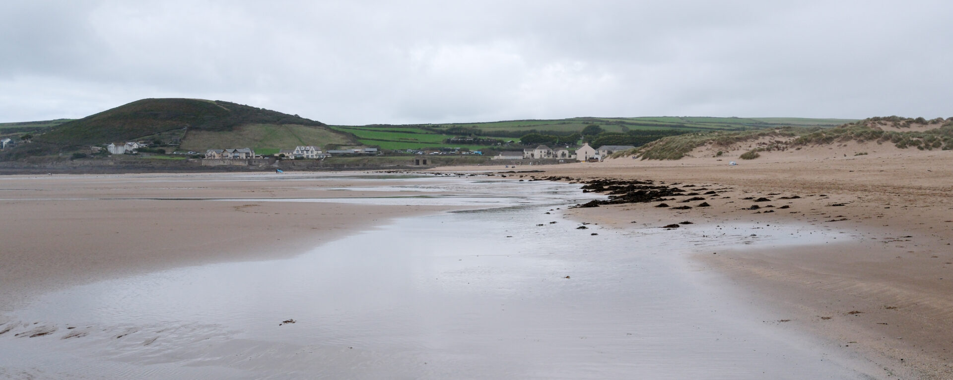
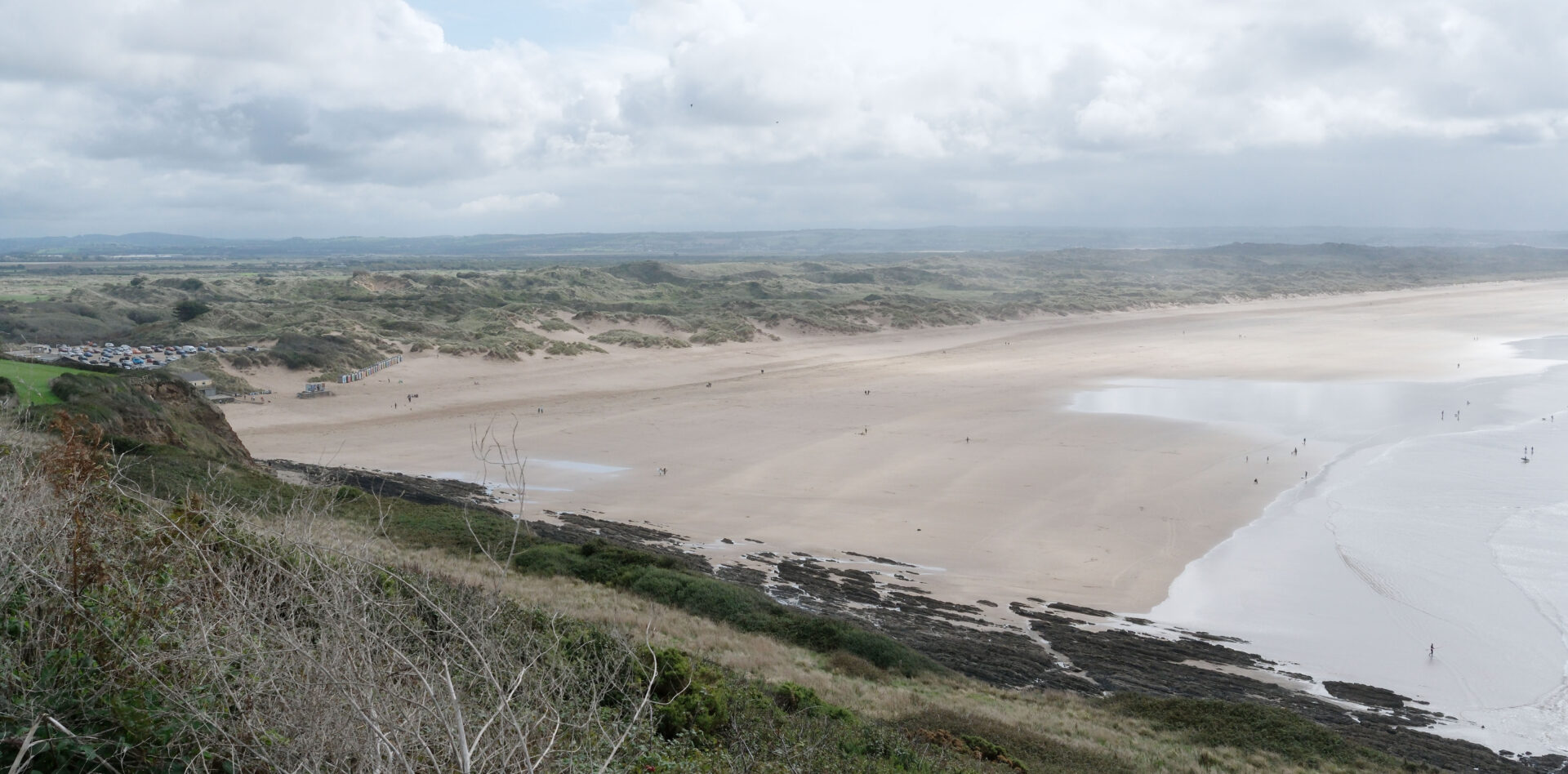
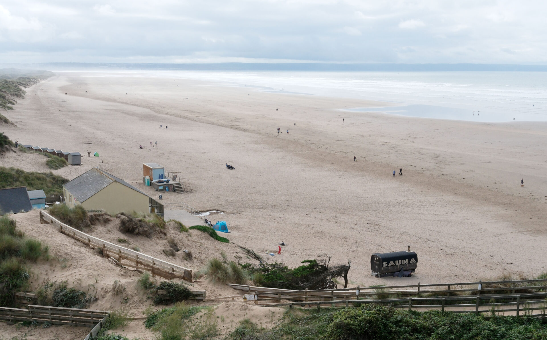
Jan parked in the National Trust car park and we started walking at 9.55am. As soon as we could we cut down to the track through the dunes and then, through a gap in the dunes, down onto the beach which was largely deserted except for 3 horses heading south and a few dog walkers.
We came off the beach and back onto the track behind the dunes and up to a single track road above Putsborough Sand (the south end of the beach that has Woolacombe Beach at the north end).
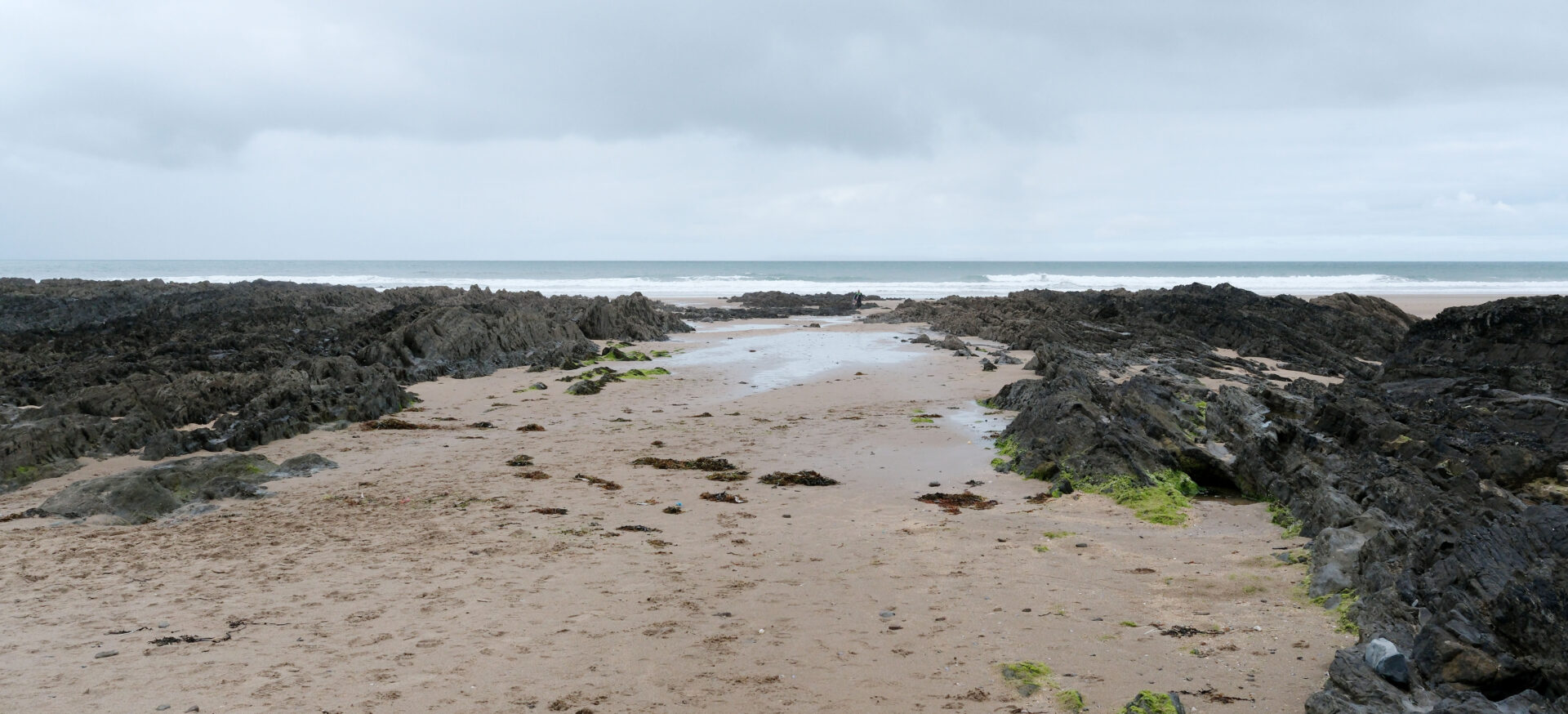
The path climbs up onto the path to the headland. Next comes Croyde Bay beach where Jan turned back to return to the car, it was just on midday.
There were quite a few surfers, mostly at either end of the beach. I did a quick video but they were a long way away so not very impressive.
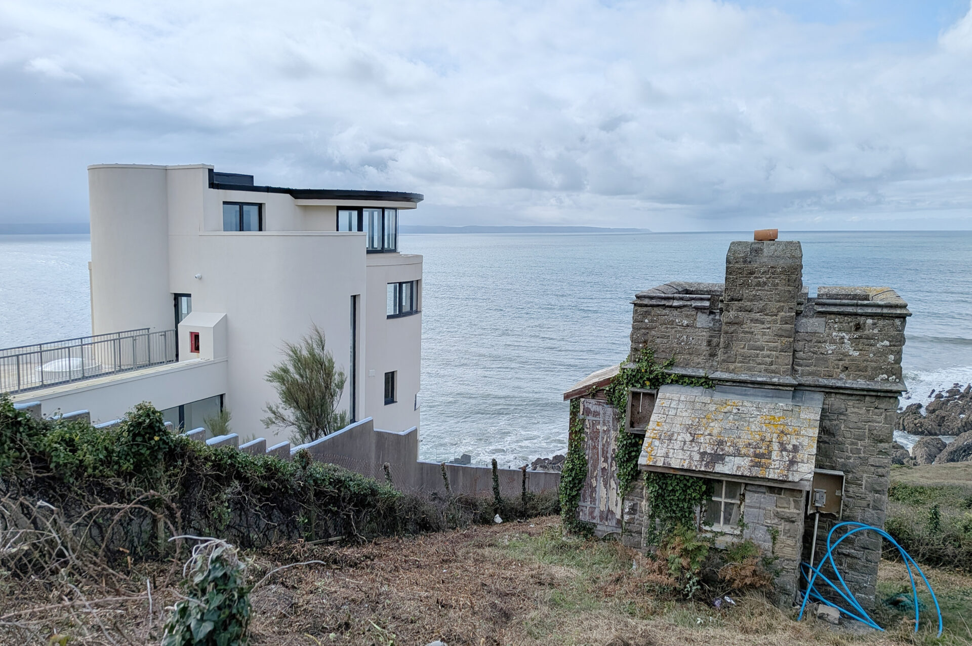
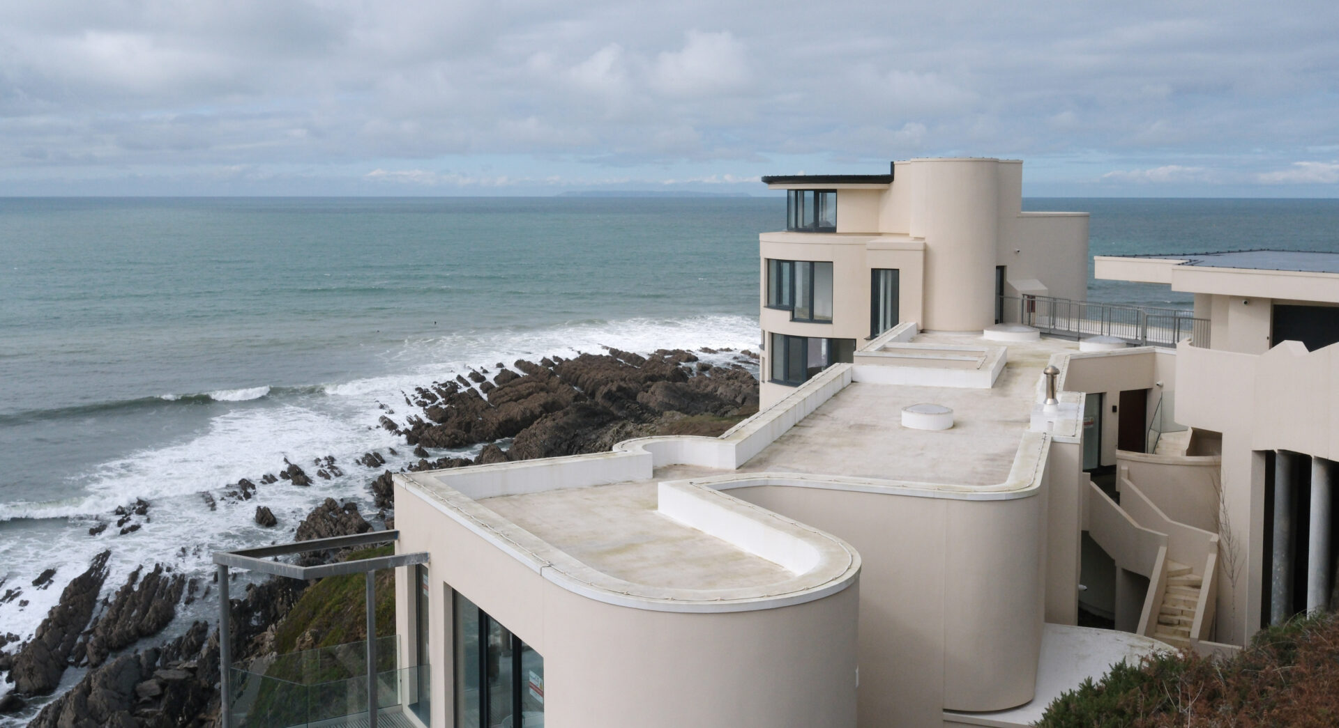
There was a very impressive house at the south end of Croyde Bay, next to the main road, which I recognised from the Grand Designs TV programme. It’s called Chesil Cliff House and was empty with no furniture and it didn’t look as if anyone had lived there.
I walked along the road from here in case there were some photos down to the beach but there were none until I was almost in Saunton. Not recommended, it’s a very busy road but it only took about 10 minutes. There is a footpath part way up the hillside to avoid the road so if I did it again I’d use that.
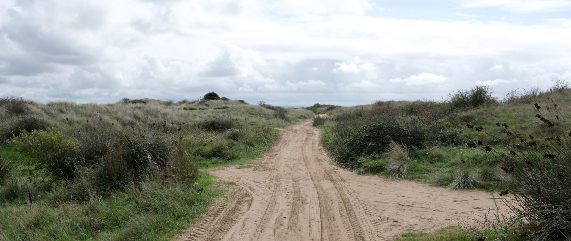
There’s a big Saunton Sands Hotel beside the road and a jolly big car park below it for beachgoers. The SWCP goes through the grounds of the hotel and down a winding path to the car park. From here the busy bit was left behind as I saw very few people, other than golfers, as I walked south along the trail. It goes through the Saunton golf course which wasn’t very busy.
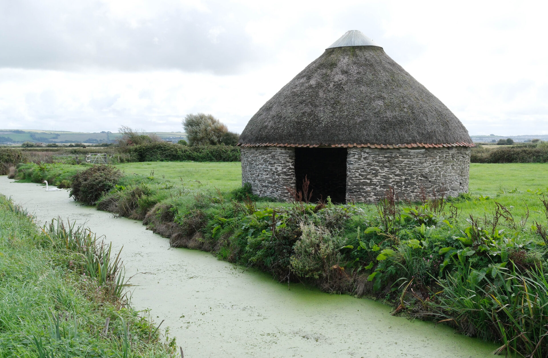
From the Braunton Burrows car park I detoured through Braunton Marsh to the Toll House on the River Caen and rejoined the route, my bad back was telling me I shouldn’t do the extra mile or three down to Crow Point and back. The main route is not along the coast anyway as that’s mostly a military training area so I didn’t see a difference between my route and that. After Crow Point there are several miles of estuary, again not the sea coast.
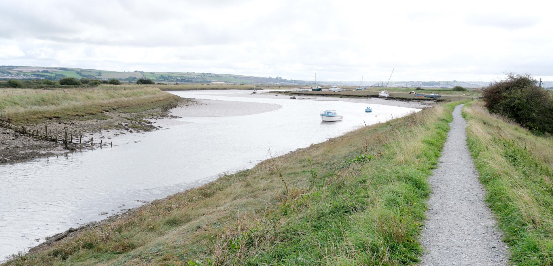
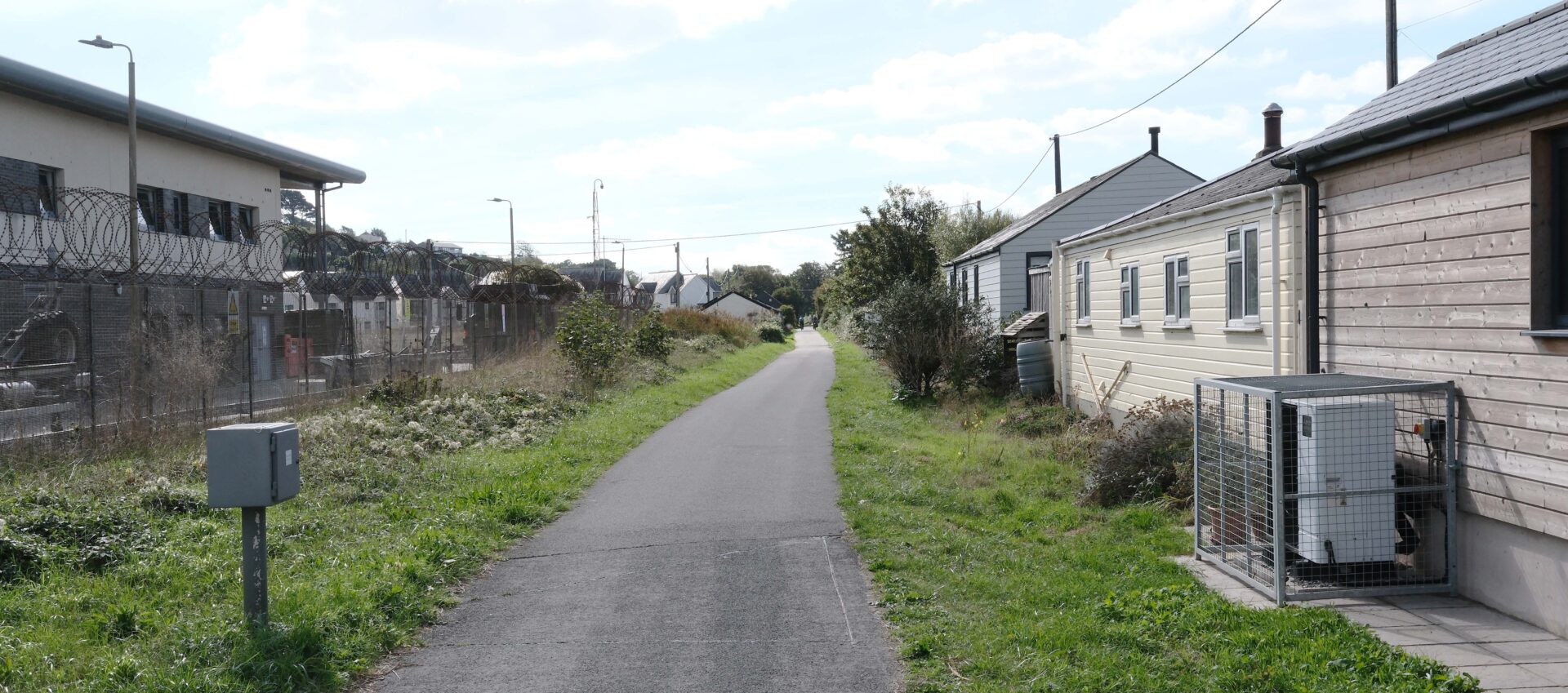
From the Toll House I was back on the SWCP and it was a pleasant stroll along the side of the River Caen on a raised bank. Soon I was on the edge of Braunton village and turned away from the centre in the direction of Barnstaple to pick up the wide tarmac cycle track and pedestrian path. There was a lot of tarmac walking from this point on until I reached Instow Quay (tomorrow).
At Chivenor there was an A-board advertising the Rockhopper Brewery Tap Room. I’d never heard of them before but it was worth a short diversion. In the end it was a waste of time as it only opens at the weekend but they didn’t put opening times on the A-board and I assumed they would only put the A-board out if they were open. My mistake – I won’t be going back there and I’ve taken them off my Christmas card list, if I had one! It was also further than I expected at about a mile in total, there and back. Something I didn’t need.
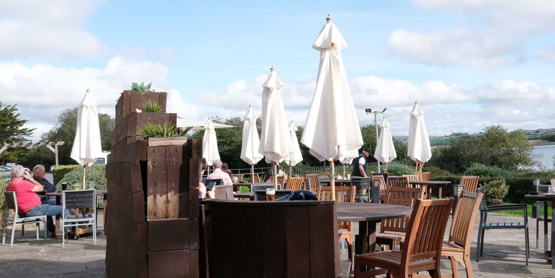
I carried on along the pedestrian/cycle path reaching Heanton Court pub at about 4pm, which was also the arranged meeting time with Jan. I went inside, couldn’t see her but ordered a beer. Unfortunately, they only had Doombar which is not the best real ale. Jan came a few minutes later and we sat outside in the sunshine.
Summary
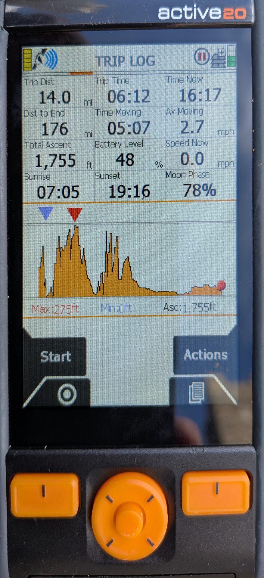
It was 14 miles from Woolacombe National Trust car park to Heanton Court and took a bit over 6 hours. Not much up and down today as I followed beaches where I could.
The morning was cool and damp with light drizzle. The afternoon warmed up to a temperature of 19°C.
Braunton to Westward Ho! 12.7 miles
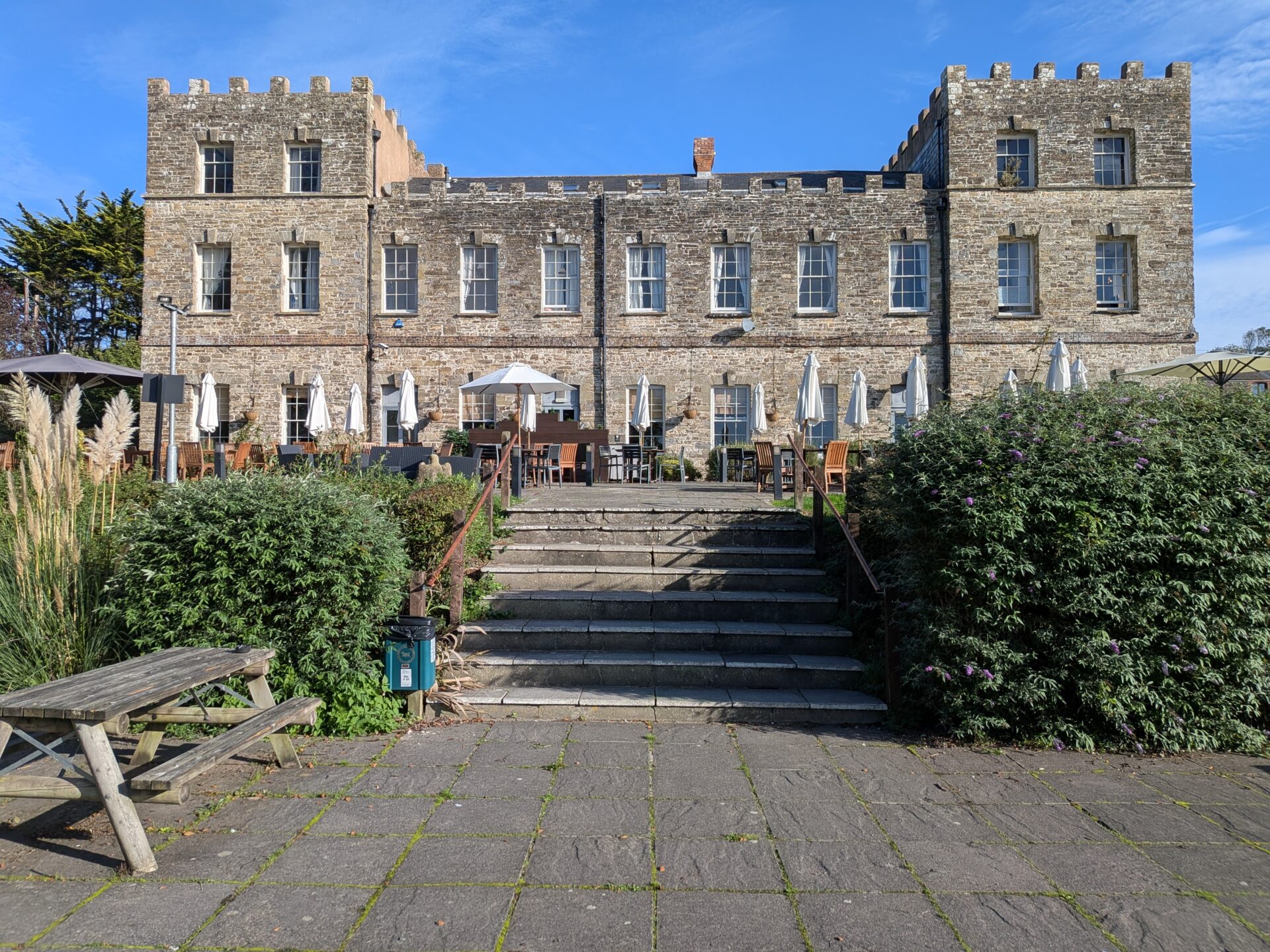
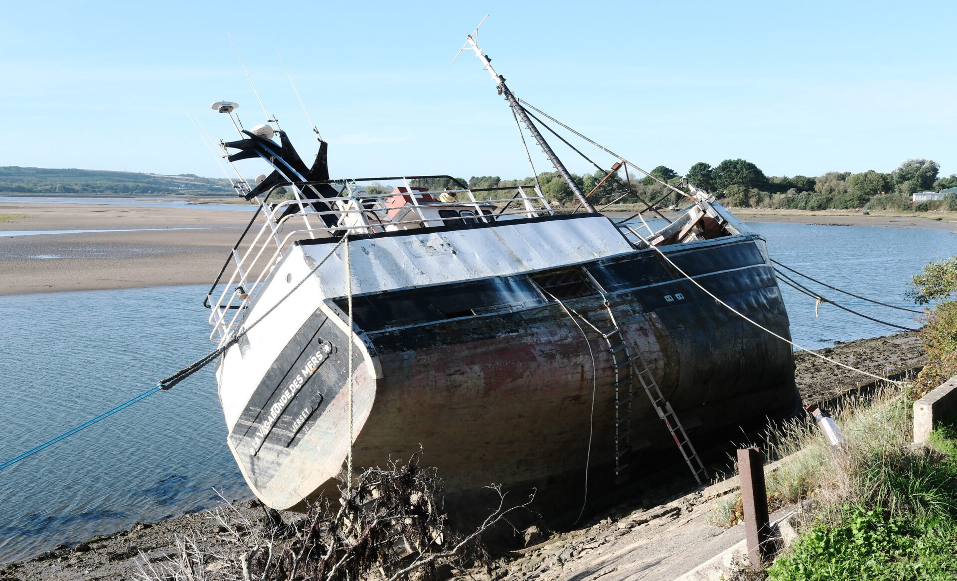
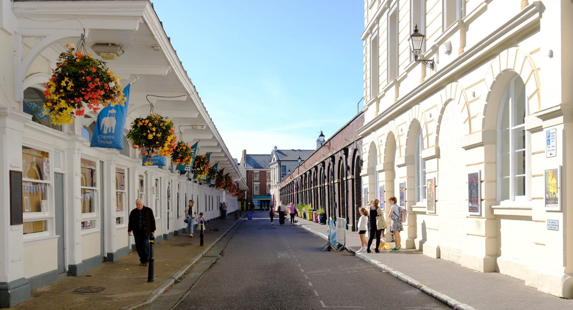
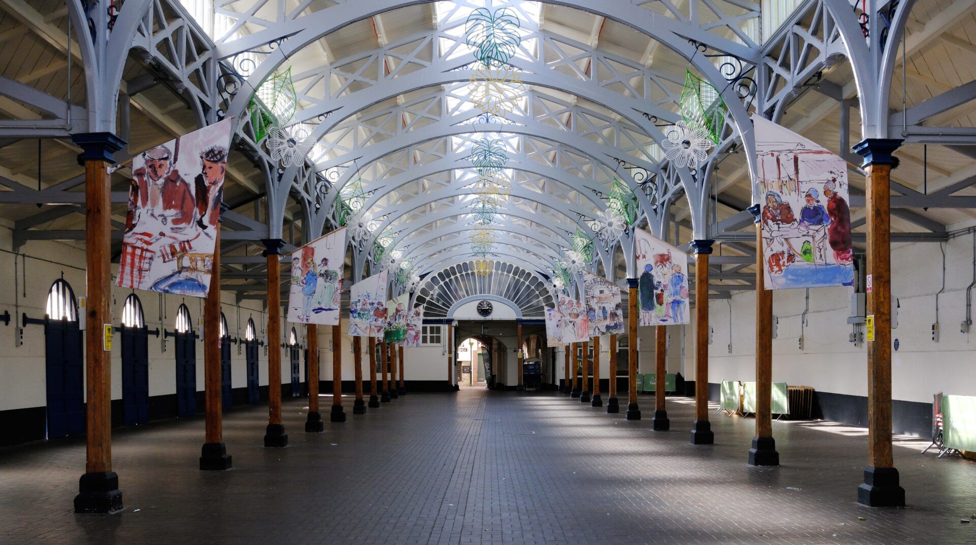
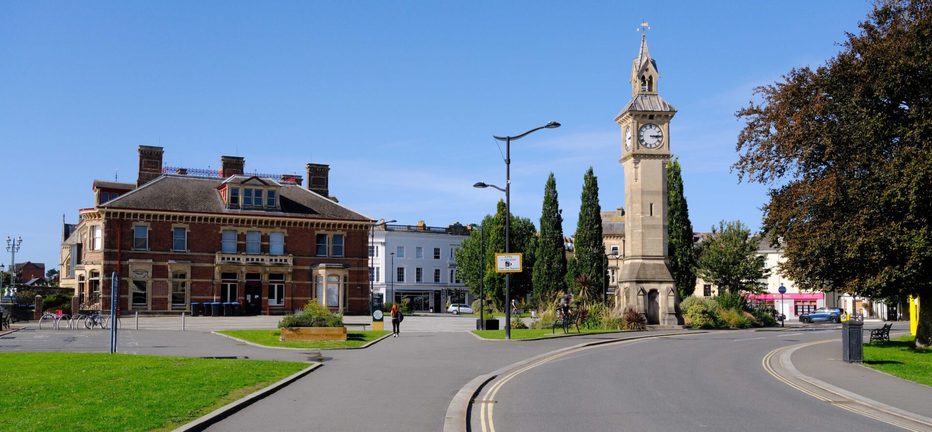
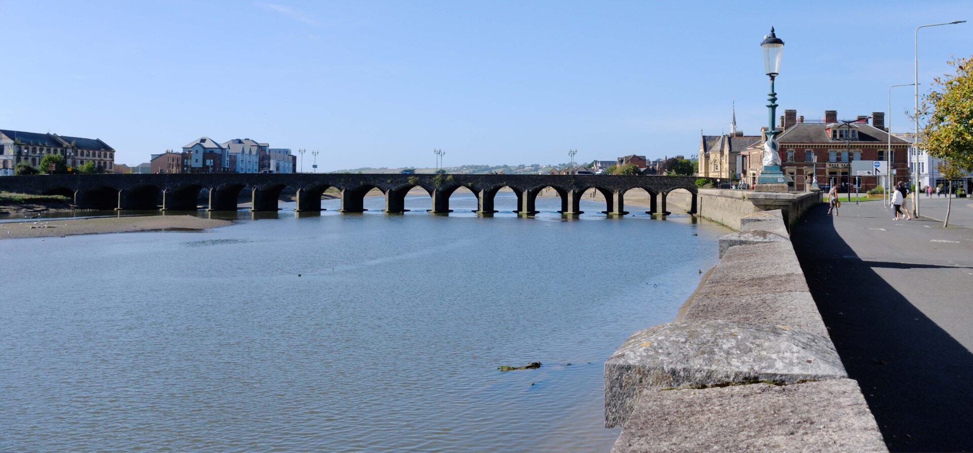
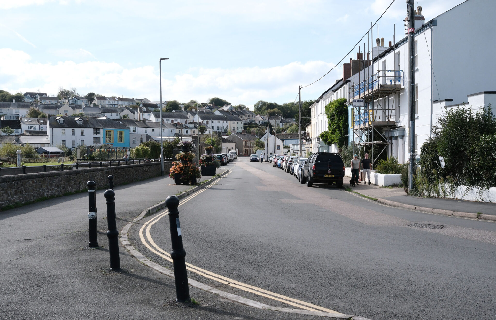
We were staying in Barnstaple so it only took a few minutes for Jan to drive us to Heanton Court where I finished yesterday. Jan and I started walking at 9.35am on the pedestrian path and cycle track heading along beside the Taw estuary towards Barnstaple. I’ve included a few pictures of Barnstaple even though I went over the Taw Bridge, not the old Long Bridge, in case they’re of interest. They were taken on the day we arrived, the day before I started walking from Lee Abbey.
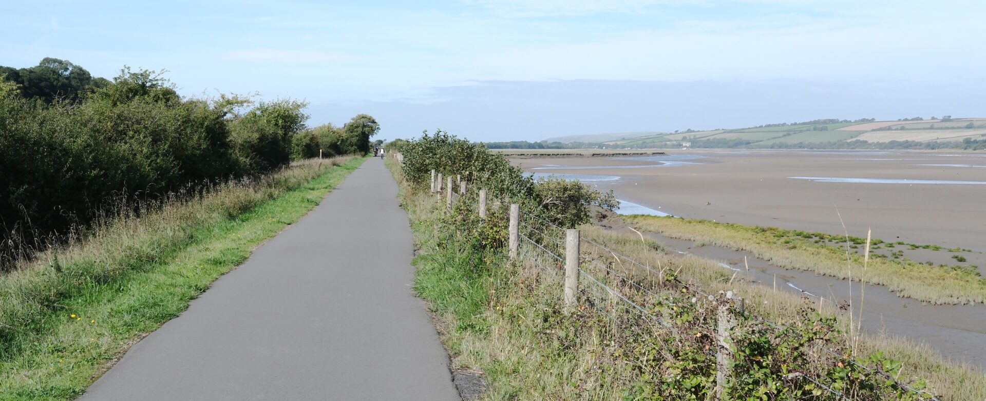
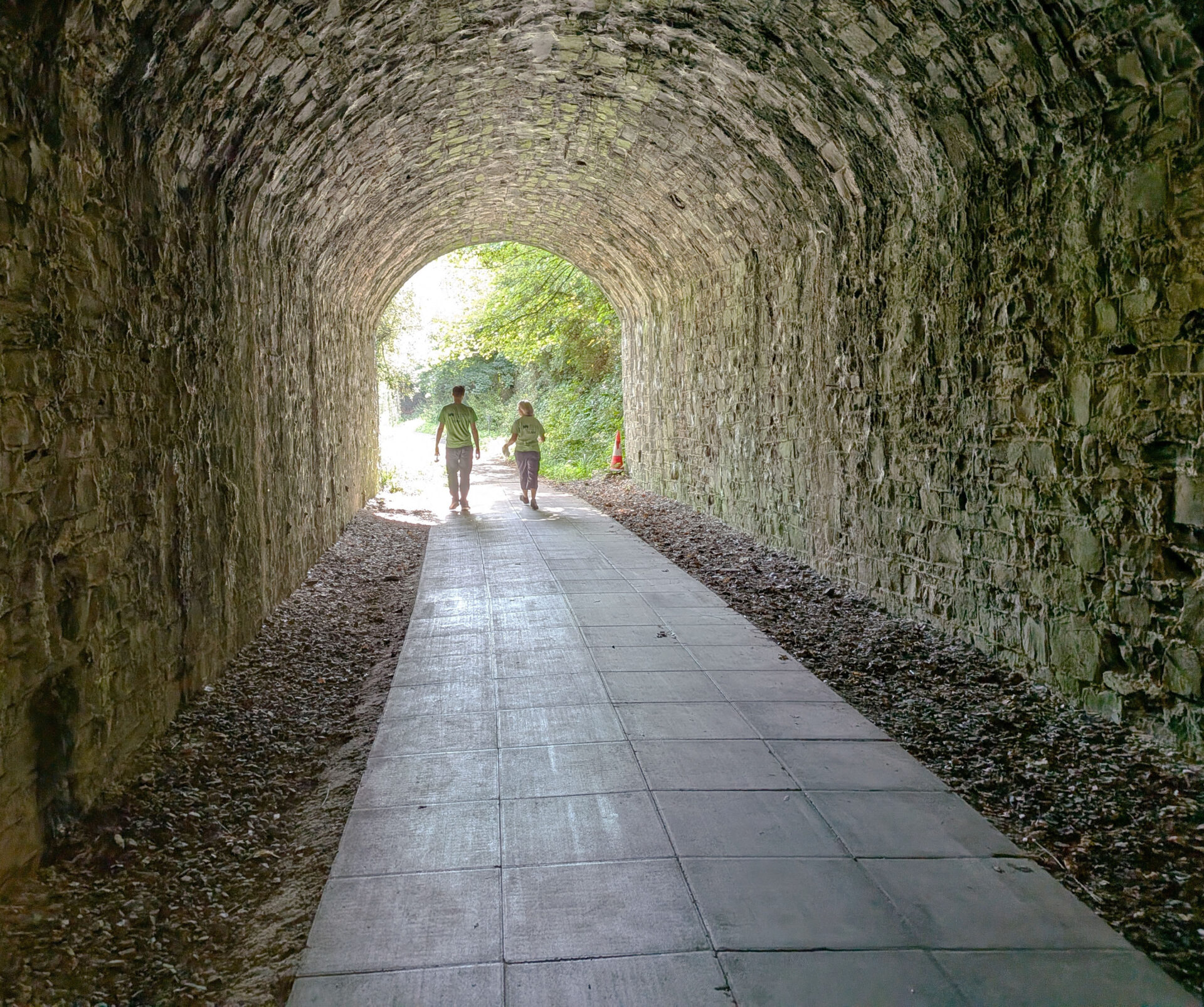
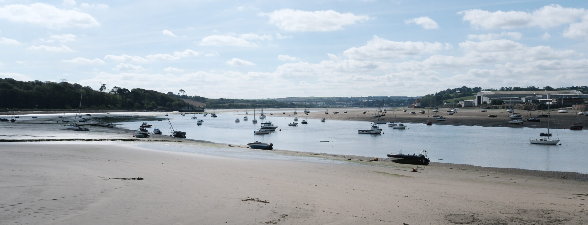
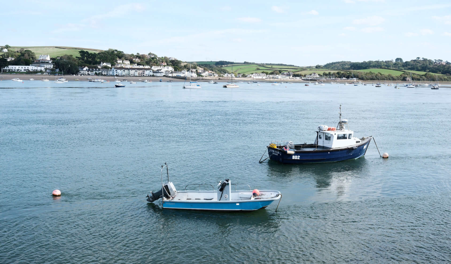
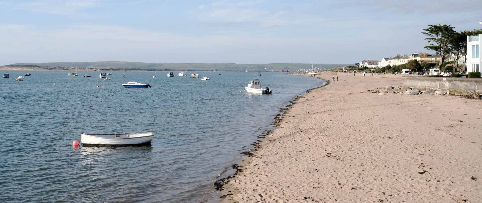
There were good views of the estuary but not a lot to see without binoculars. It was 2.5 miles to the Taw Bridge over the estuary and took a bit under an hour. Jan turned back here to go for a coffee at Heanton Court. I walked over the bridge and picked up the pedestrian path and cycle track on the other side. I was soon down next to the estuary walking in the opposite direction, towards Bideford and Instow.
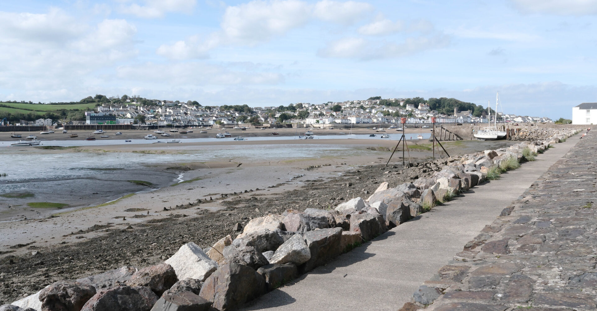
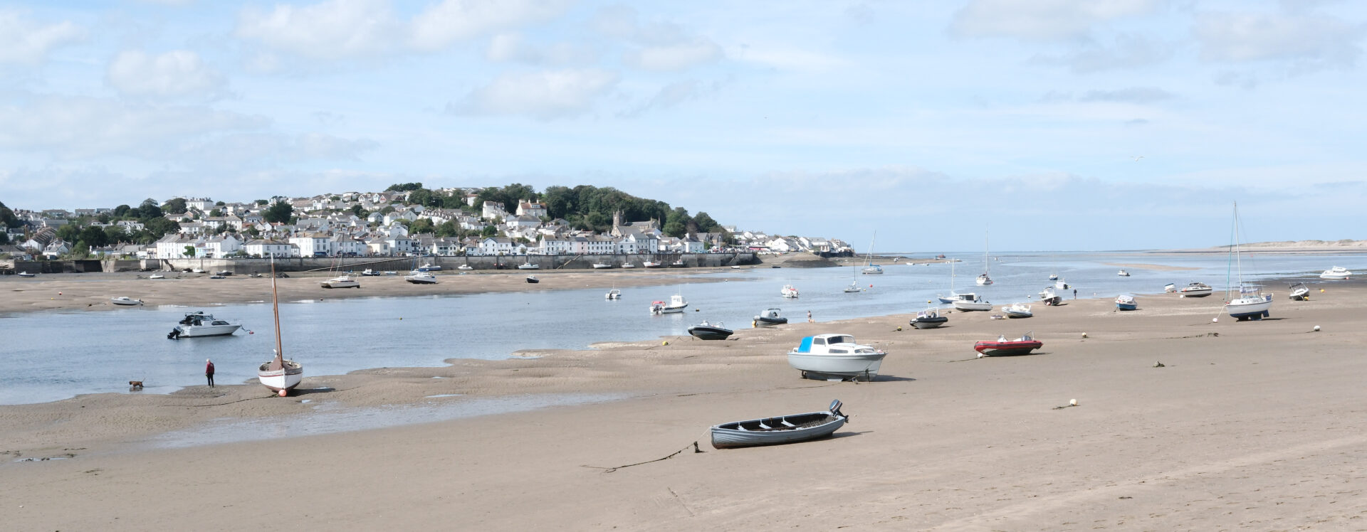
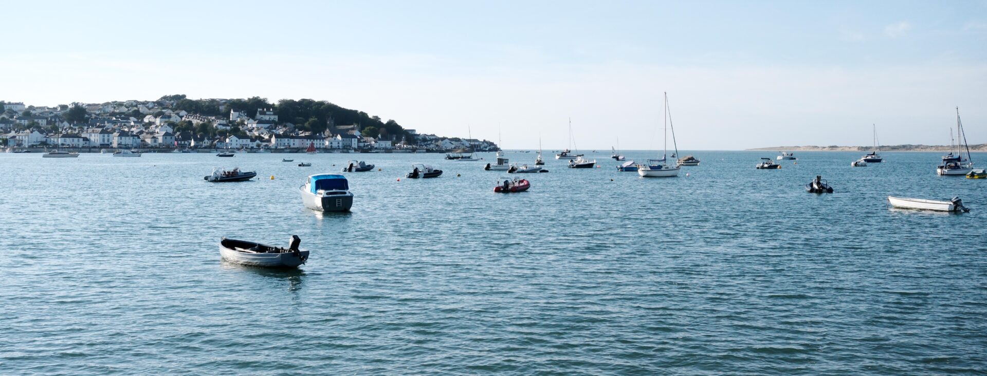
It took me about 2.5 hours to reach Instow near Bideford from the Taw Bridge. I was too early for the ferry across to Appledore which didn’t start running until high tide at 3.30pm.
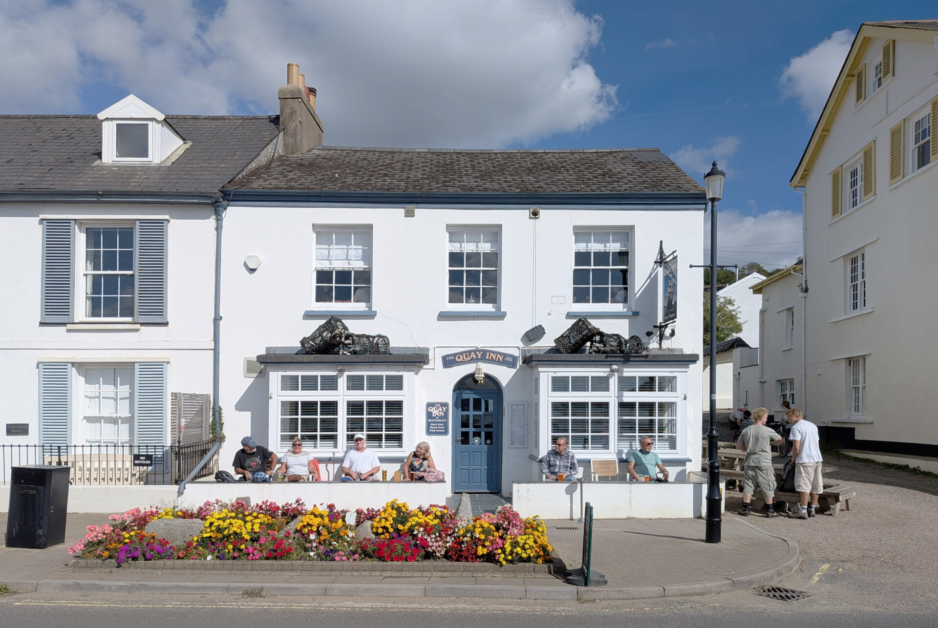
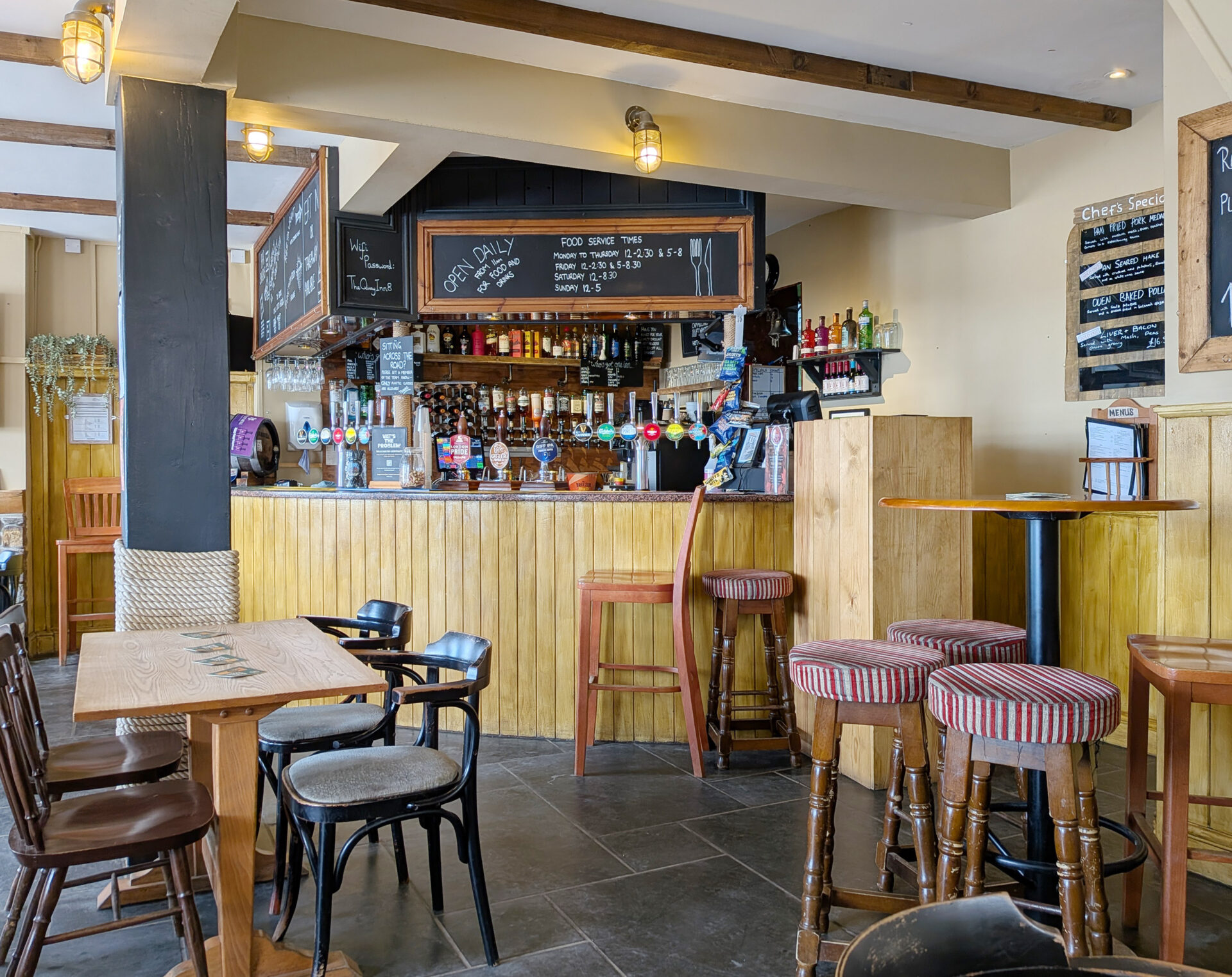
I was just wandering around taking photos near the quay when I spotted Jan paying for a ticket at the car park so I diverted over and we went into the Quay Inn for a drink about 1.15pm.
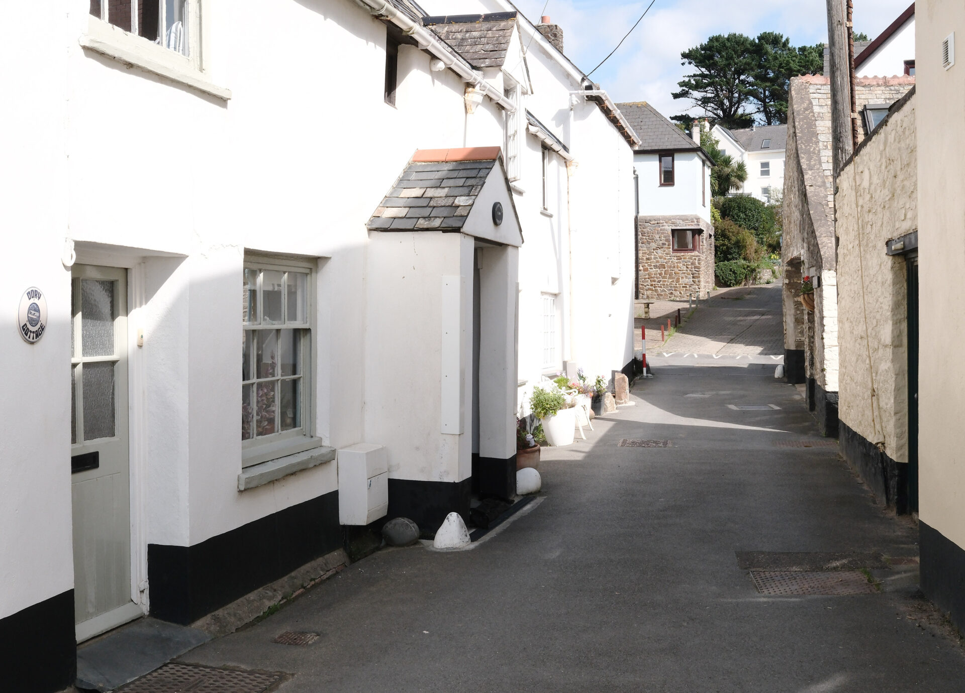
After a lunch break at the Quay Inn in Instow Jan drove us round to Appledore where she left me at about 2.25pm to walk the last section to Westward Ho! I found where the ferry would have docked to drop me off and took a photo of it for posterity as if I’d just got off the ferry and then left Appledore heading for Westward Ho!
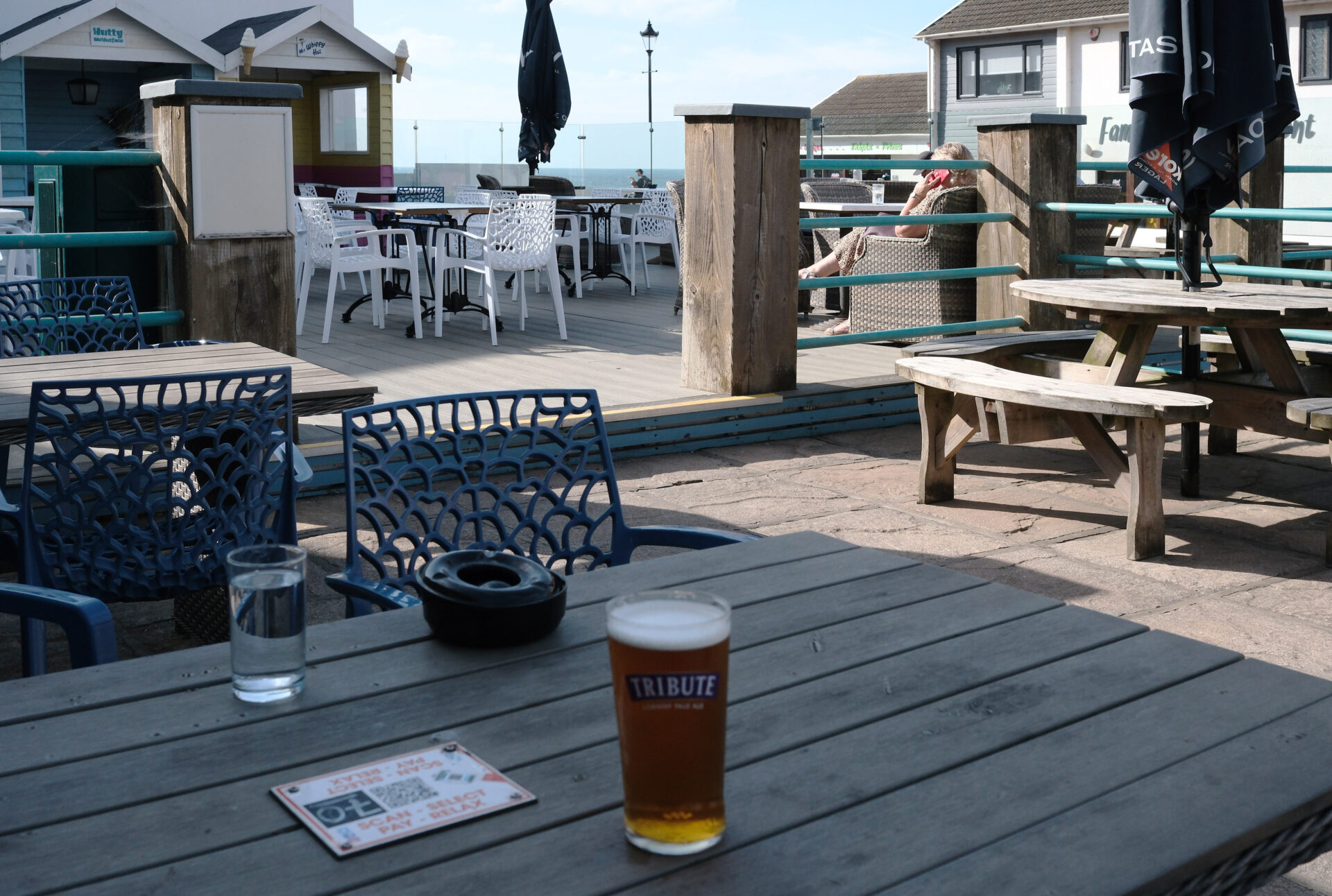
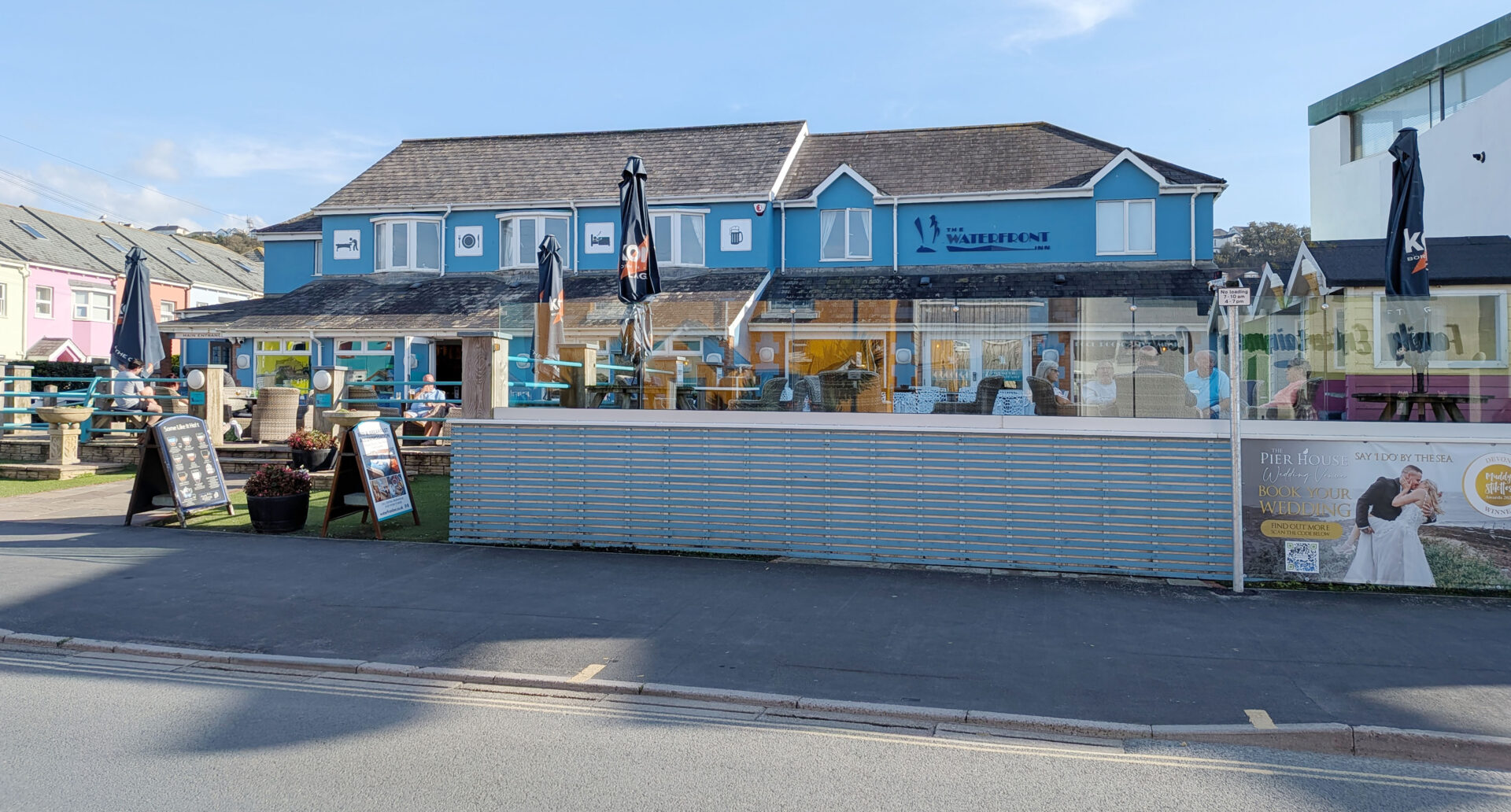
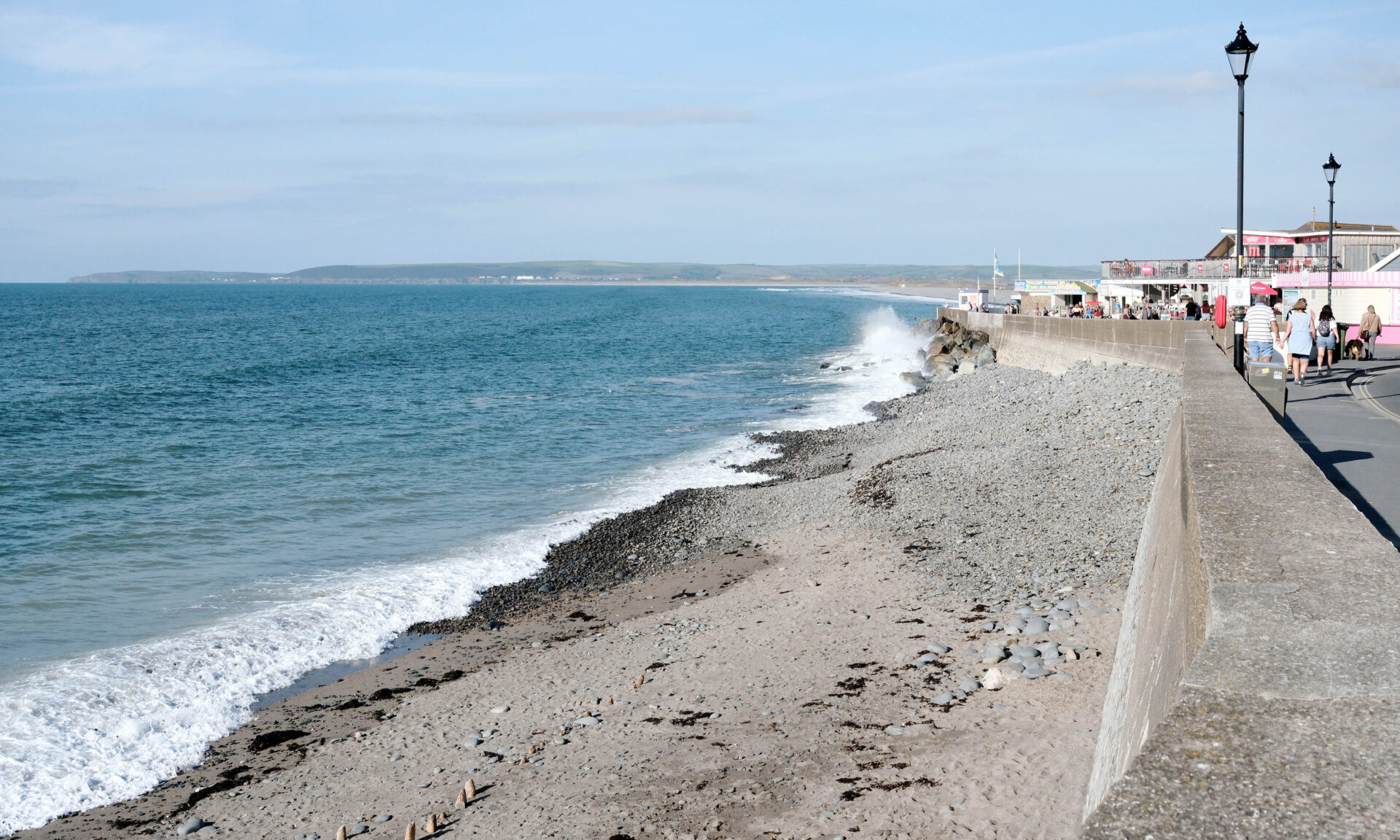
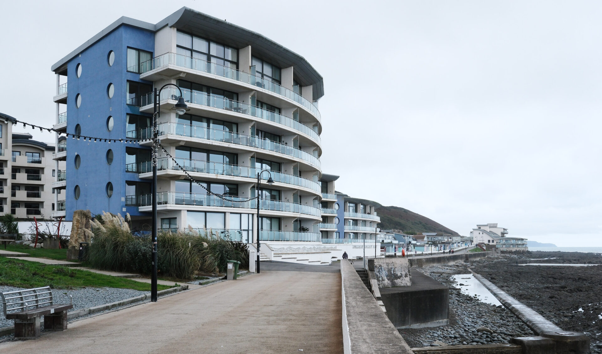
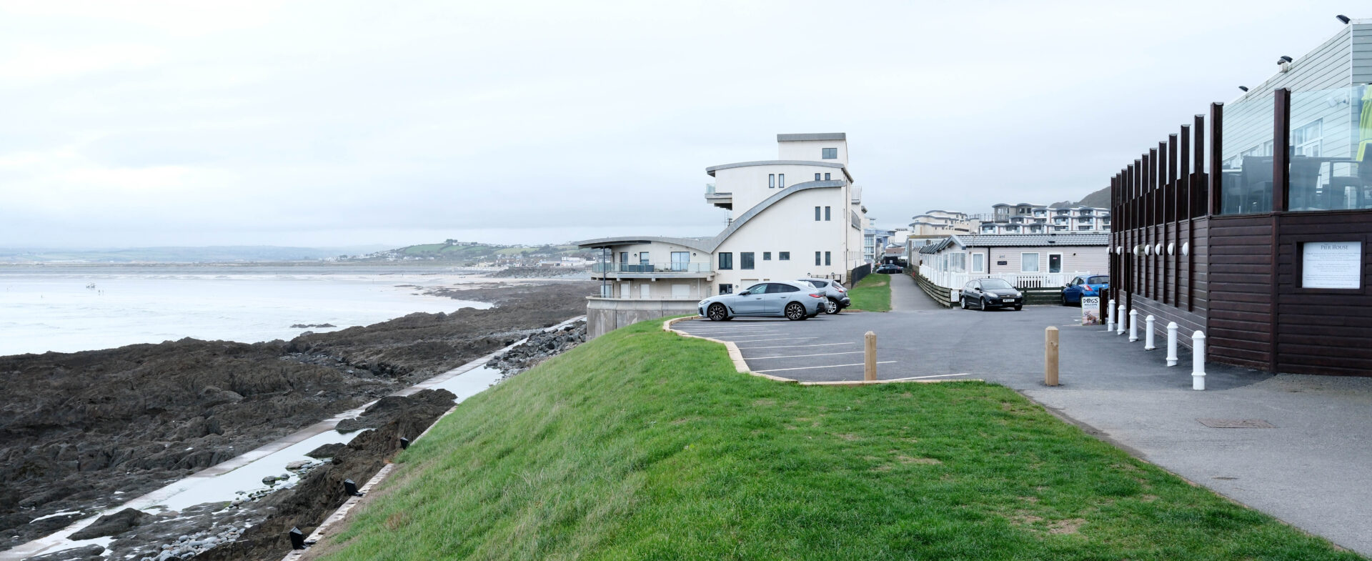
I reached Westward Ho! Waterfront Inn just after 3.30pm, it was 2.7 miles from Appledore. I bought myself a pint of St Austell Brewery Tribute and waited for Jan to find me sitting outside the main door.
After we finished our drinks we walked around the front so that I could take a photo or two, headed back to where Jan had parked and drove to Instow so that we could have our evening meal at the Quay Inn.
Summary
I seem to have mislaid the data from the GPS for the morning to Instow. According to my Polar Pacer tracker the section from Heanton Court to Instow was 9.9 miles and I managed it in 3h 30m. It was pretty tedious flat walking on tarmac the whole way.
Appledore to Instow was 2.7 Miles and I covered it in just over an hour.
A total of 12.7 mostly forgettable miles in a bit over 4.5 hours but the Quay Inn in Instow was good!
Westward Ho! to Clovelly 12.7 miles
Jan drove us back to Westward Ho! where we started walking at about 9.35am. it’s quite an ugly place to my eyes so I was pleased to leave it behind.
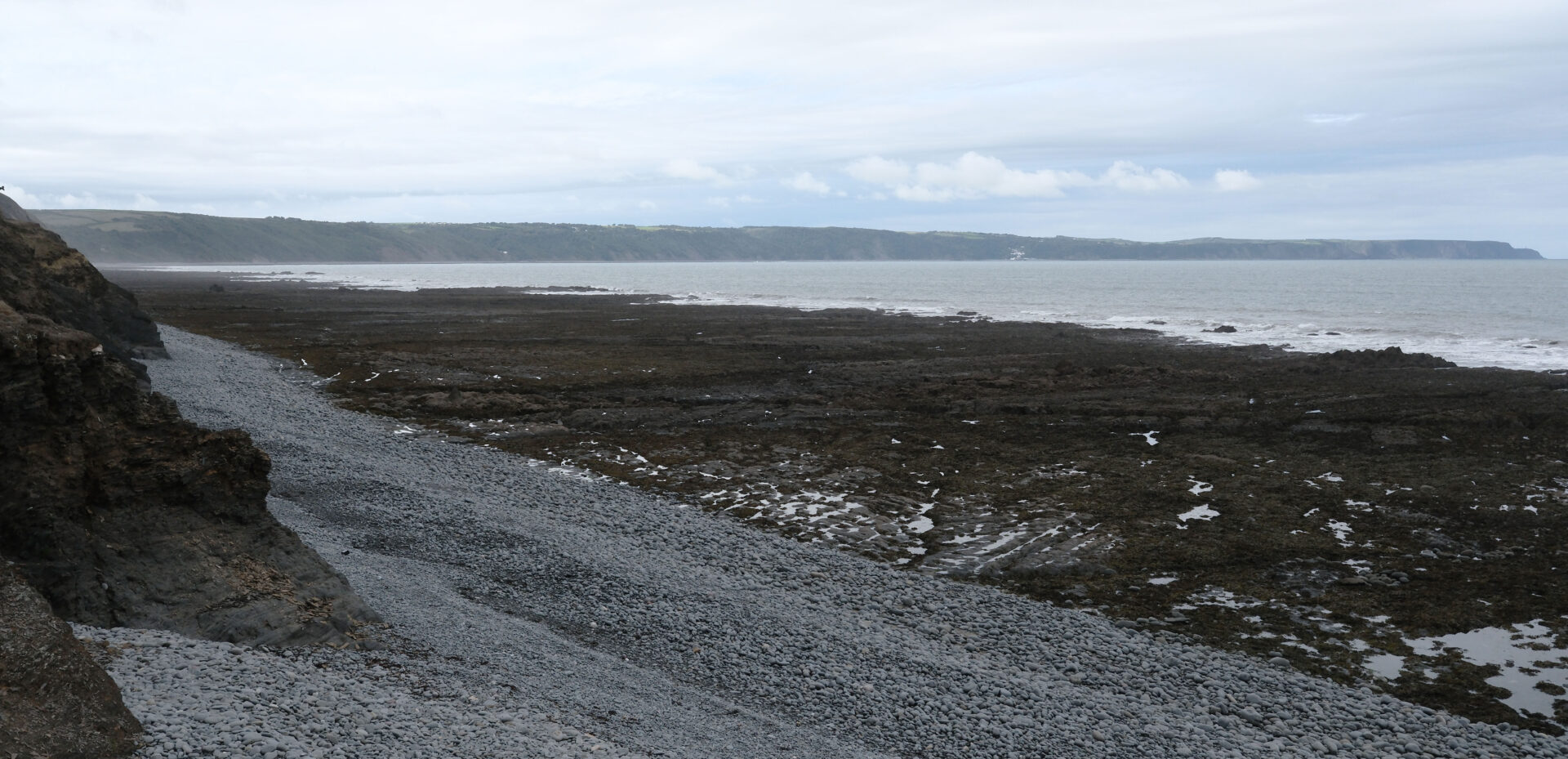
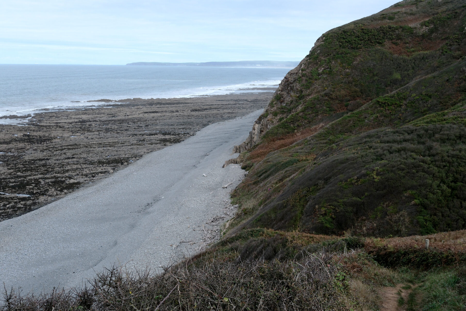
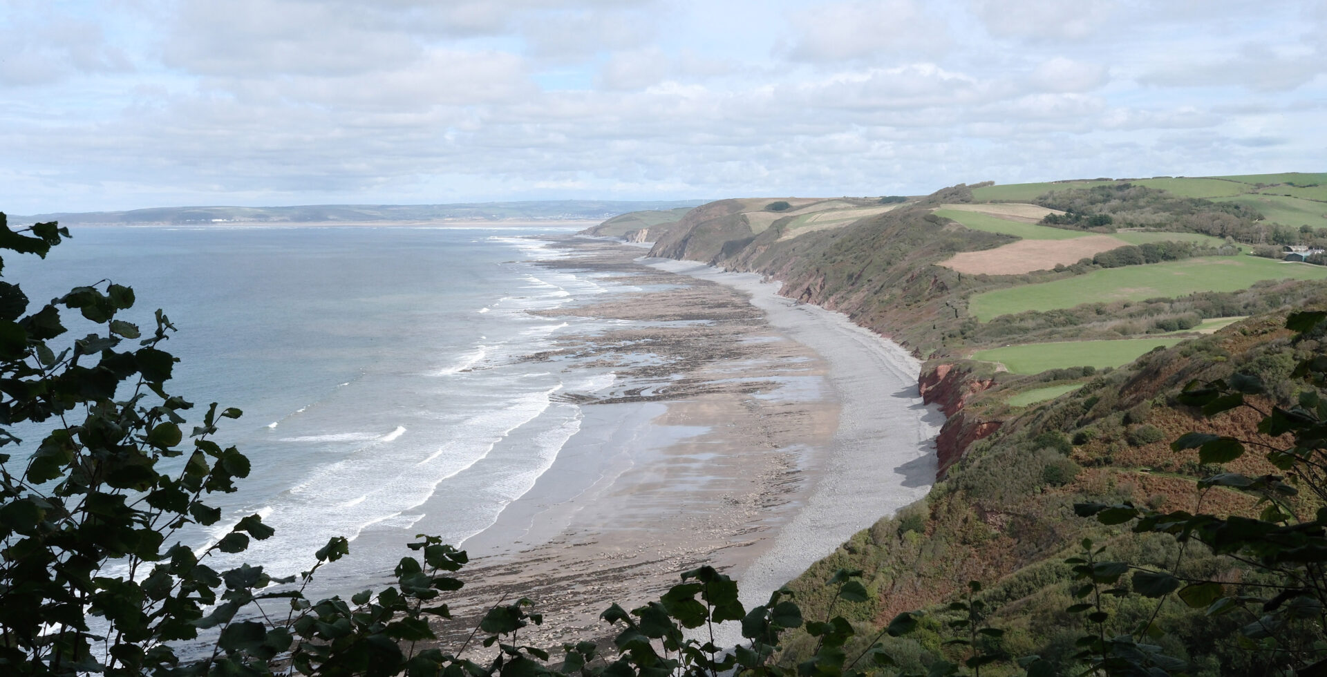
It was interesting that Clovelly could be seen soon after leaving Westward Ho!, albeit in the distance, it was just a bit of white on a dark hillside.
Jan walked with me for a couple of hours and turned back before Babbacombe to retrace her steps to Westward Ho!.
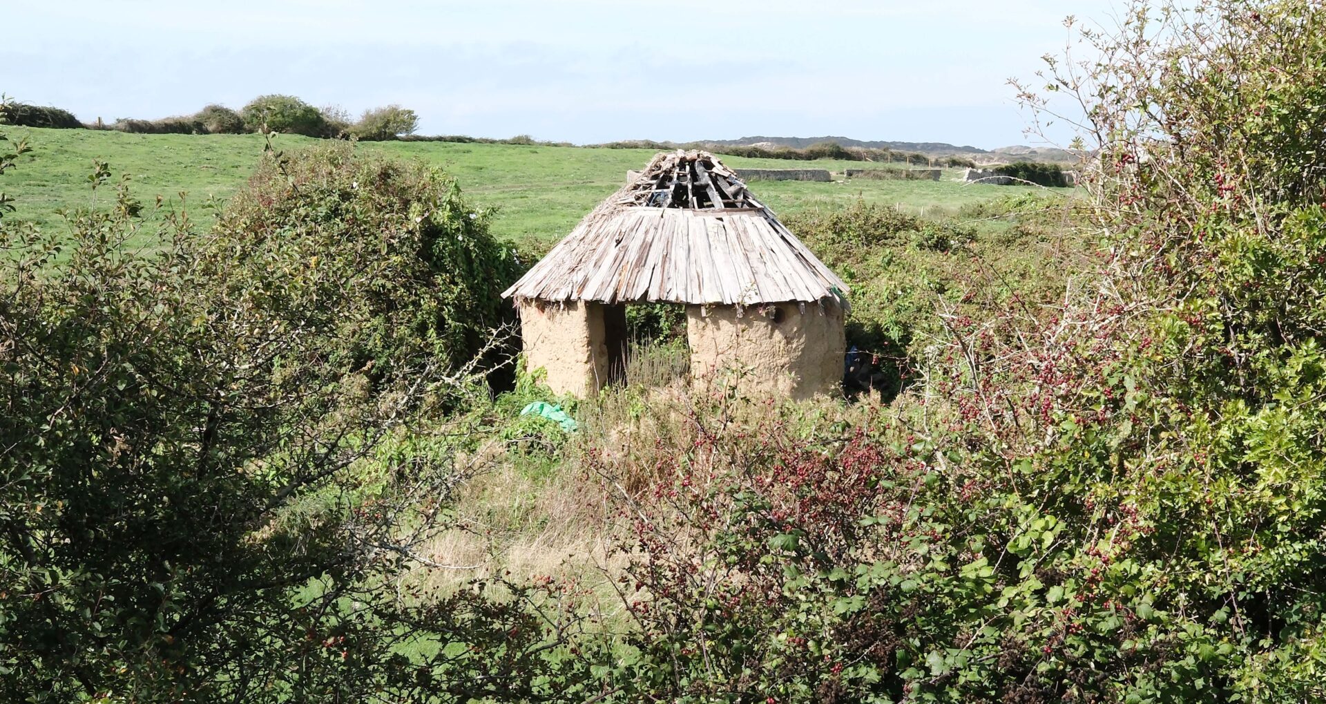
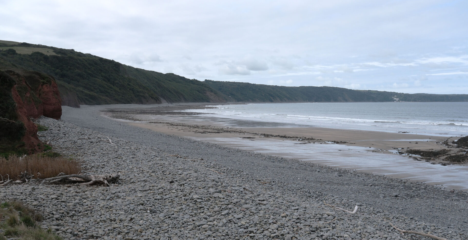
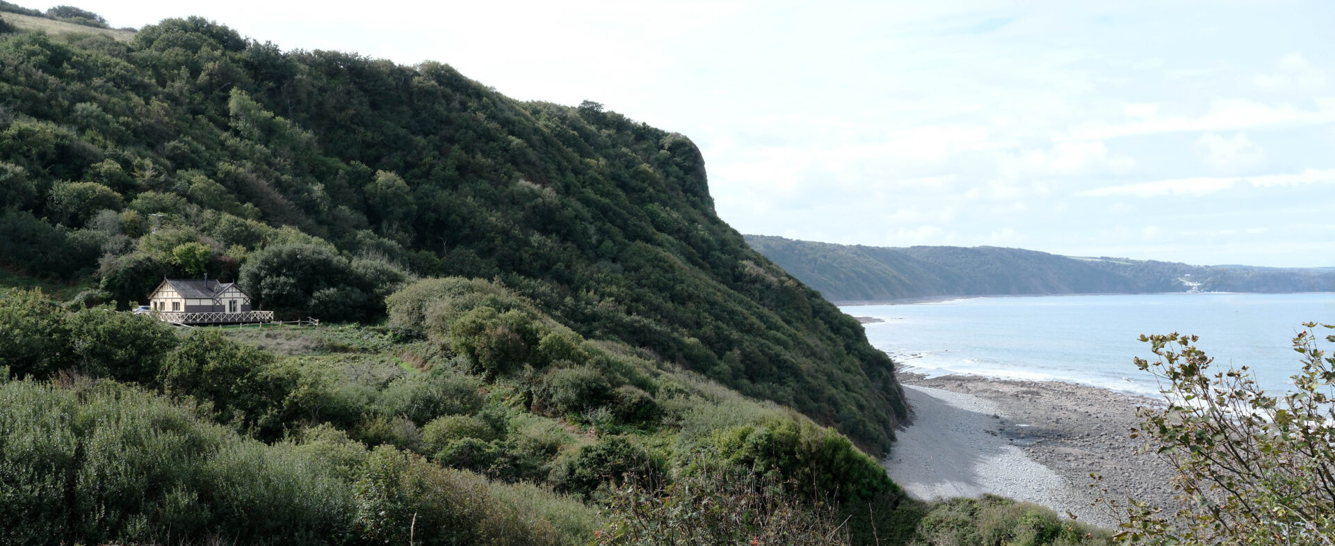
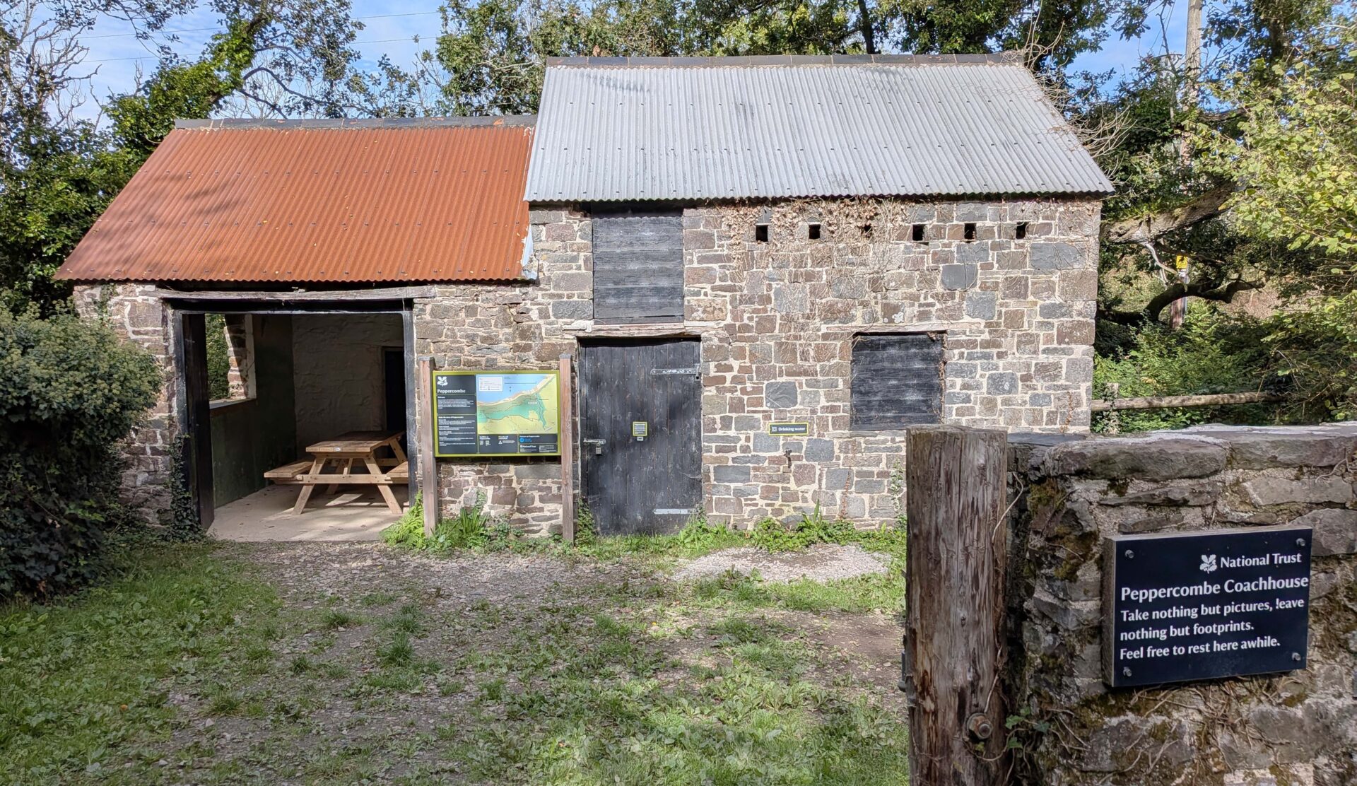
I reached Peppercombe around 1pm There’s a castle marked on the map but all you see is a small bungalow. The Old Coachhouse on the track down to the sea looks to be no more than an old barn, it was obviously something more grand in the past as it’s a National Trust property.
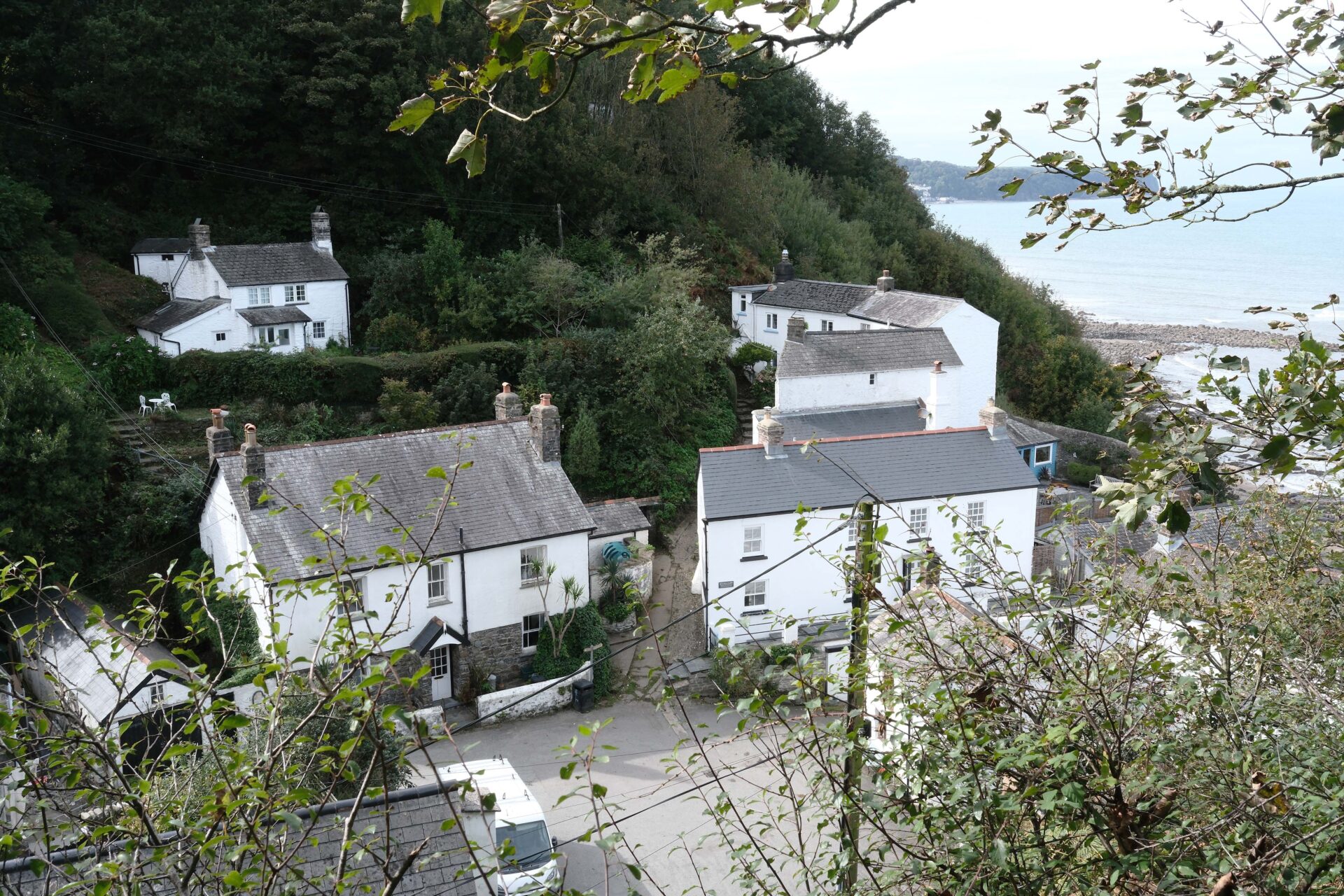
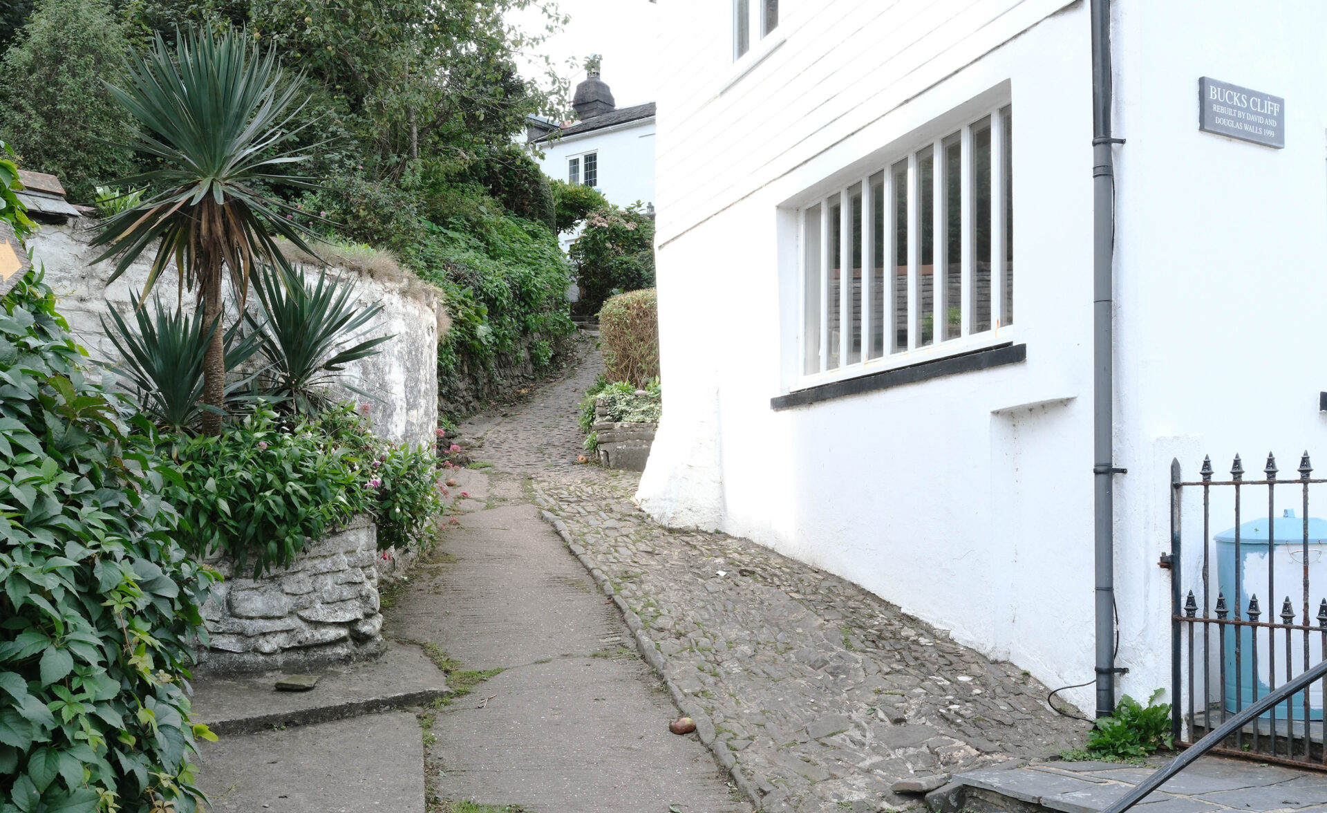
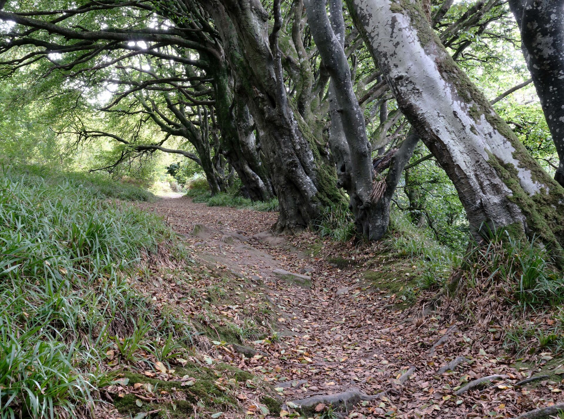
The first proper hamlet since leaving the car was Bucks Mills, a collection of white cottages. The path weaved through the houses and up to another wood. Nice trees for a photo just before 3pm, a bit over half an hour from Bucks Mills.
The last section, which I walked in the rain, was along a wide old roadway through woodland called The Hobby Drive. It was wide and flat and the SWCP follows it all the way to the cobbled road down to Clovelly.
I saw a Red Legged Partridge on the track ahead along with several pheasants which seemed to chase it away every now and then. I followed it along the Drive for several minutes.
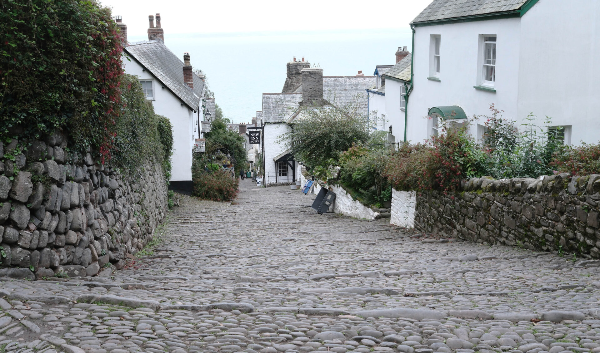
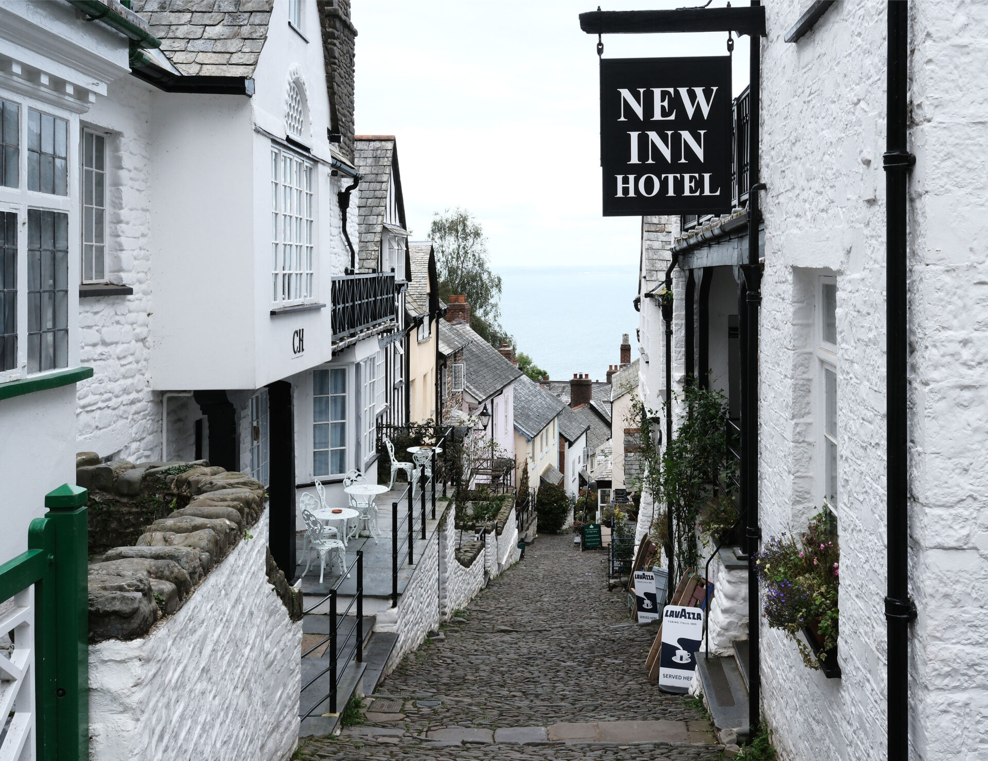
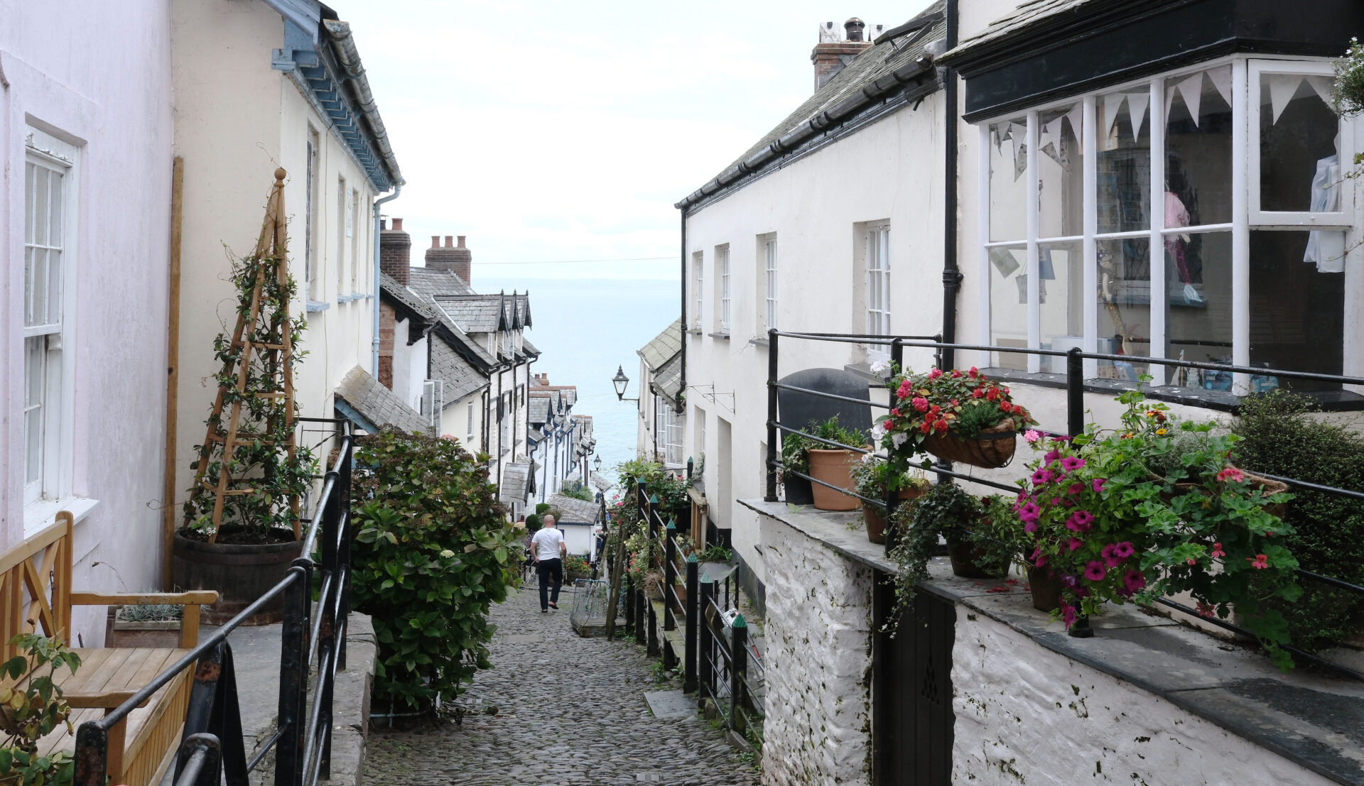
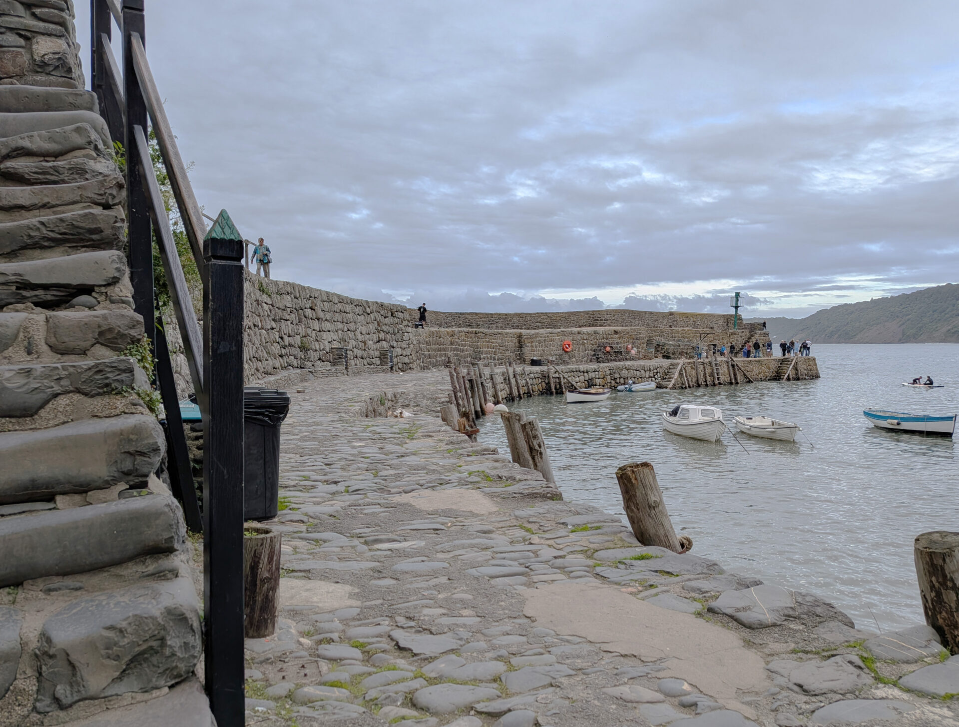
Jan was waiting for me with my Mamiya 7 camera, at the end of The Hobby Drive, so we just turned straight down the road into the village, heading for the harbour at the bottom of the steep slippery cobbles. Thankfully the rain stopped as we headed downhill so the cobbles were dry.
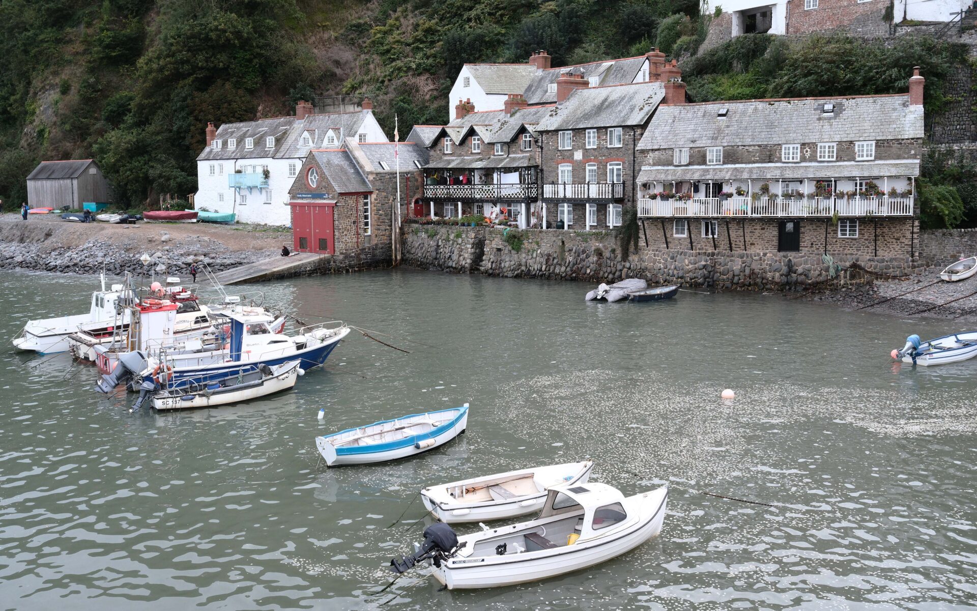
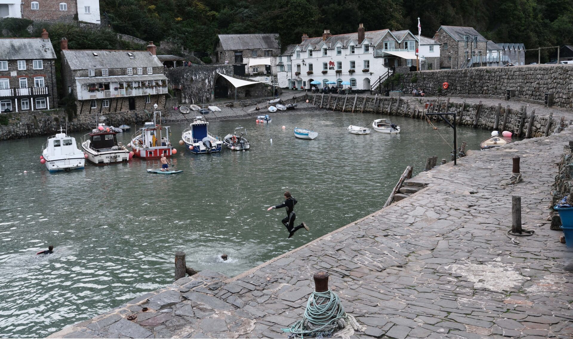
At the harbour it was quite dull so not great for photos but I still ran off a couple of rolls of 120 film (10 shots on a roll) and a few digital pictures for my blog. After taking my photos we sat outside the Red Lion Hotel on the harbour having a celebratory drink.
Summary
Today was another 12.7 miles day, like yesterday, but in 6 hours 50 minutes to the top of Clovelly.
At the end of this 65 miles five day trip I have walked 226 miles of the 630 miles South West Coast Path. The remaining 2 trips to Newquay and Sennen Cove are another 160-odd miles. My mileage is the daily total shown on my Satmap Active 20 GPS and is not taken from guidebooks or maps.
Equipment
I was carrying about 7kg at the start of each day including my 2.5kg of water
Satmap Active 20 GPS loaded with Ordnance Survey 25k and 50k maps for the entire UK.
Route programmed by me onto Satmap
Harveys South West Coast Path waterproof map
OS 25k map for each day in waterproof case (not used).
Suunto compass (not used)
Fuji X-E5 camera with 23mm f2.8 lens
LowePro 9x13cm lens case for Fuji camera and lens
Mamiya 7 120 film camera with 43mm f4.5 lens for Clovelly only.
LowePro waist belt camera case for Mamiya for Clovelly
Sekonic spot meter L758
Google Pixel 9a phone for some interior photos, excluding Barnstaple ones
Kestrel 2000 wind and temperature meter.
Leki Makalu carbon trekking poles
Outside 40l rucksack, made for them by POD of Sheffield
Osprey rucksack waterproof cover, not used this trip as only light rain
Jan’s homemade Eccles Cakes x 1 a day
Platypus 2 litre hoser water bottle
High 5 Zero electrolyte tablets for my water
Platypus 500ml water bottle for emergency water as I can’t see when my 2l hoser is about to run dry (carried but not used).
Mountain Equipment Ibex trousers
Patagonia Capilene 2 zip polo
Odlo F-dry singlet
Odlo F-dry long sleeved t-shirt
Smartwool and Bridgedale knee length socks
Meindl Dovre Extreme GTX boots (10 inches high to avoid damaging my Achilles tendon)
Rab waterproof jacket
Sprayway waterproof overtrousers
Patagonia Micro Puff Duvet Hoodie jacket as my emergency layer (very light, not used!)


 Get some free printing and developing tips, tutorials and information from the expert over at Darkroom Dave!




 my wife has retired as a professional photographer. Her work is available by special order only. Please use the Contact form on this website for all enquiries.