Introduction
In mid-April 2026 my wife Jan drove us the 257 miles from our home in the Derbyshire Peak District to Drymen, near the southeast end of Loch Lomond in Scotland. It took us about 4h 30m with two short stops. It was mainly on motorways: M67 – M60 – M61 – M6 – M74 – M8 until we were north of Glasgow.
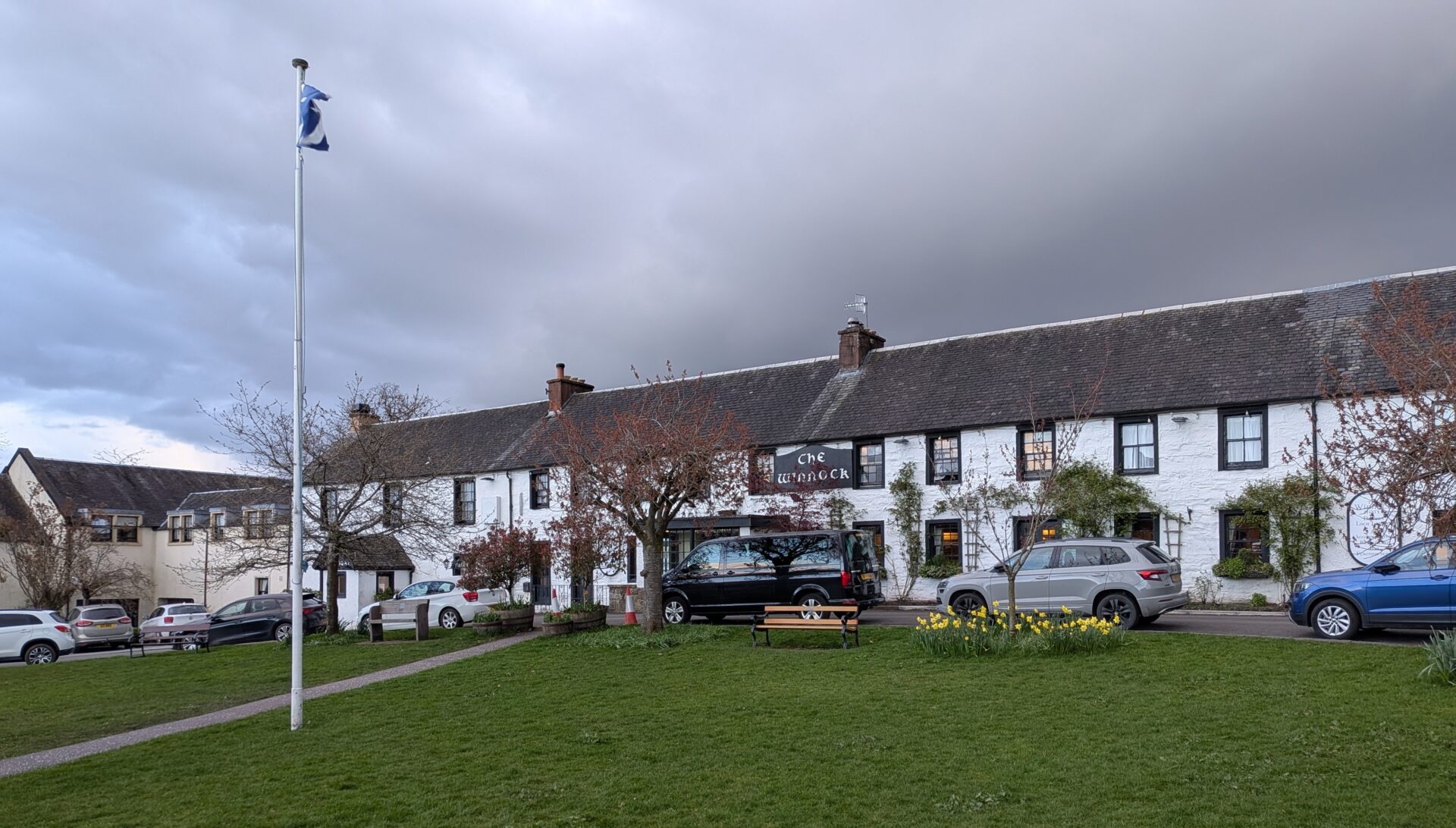
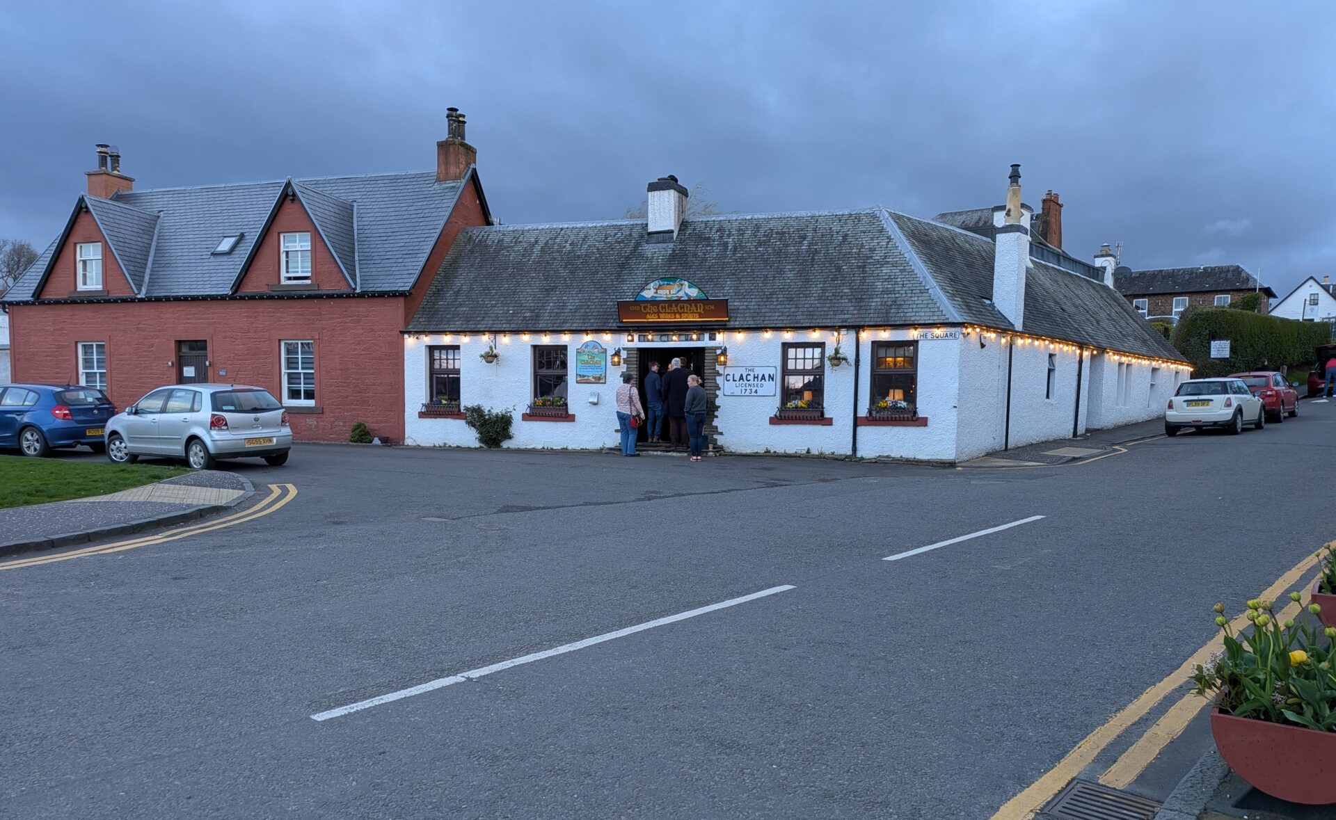
We were staying for the first 2 nights in the Winnock Hotel in the centre of Drymen. For the first evening we had an excellent meal at the Clachan Inn, good real ales here too.
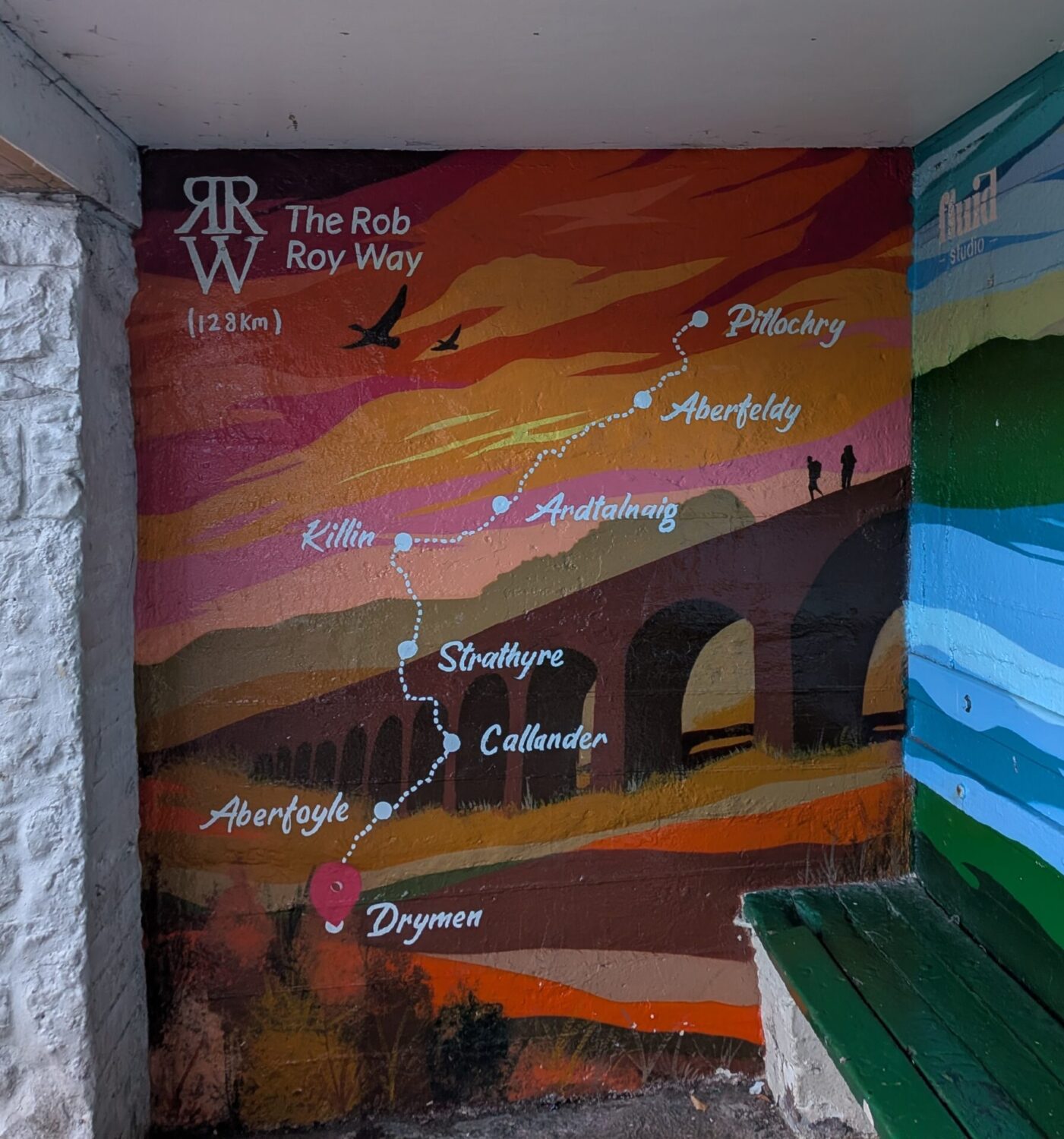
I used the Rob Roy Way guidebook by Jacquetta Megarry published by Rucksack Readers available through Amazon. It has large scale maps and text describing the route with markers on the map every mile. I found it quite useful although I didn’t carry it while walking.
Jan walked the first and last days with me but the other days she mostly just walked the first hour or so, turned back and walked to the car. Then she drove to the pickup point to meet me at the end of the day.
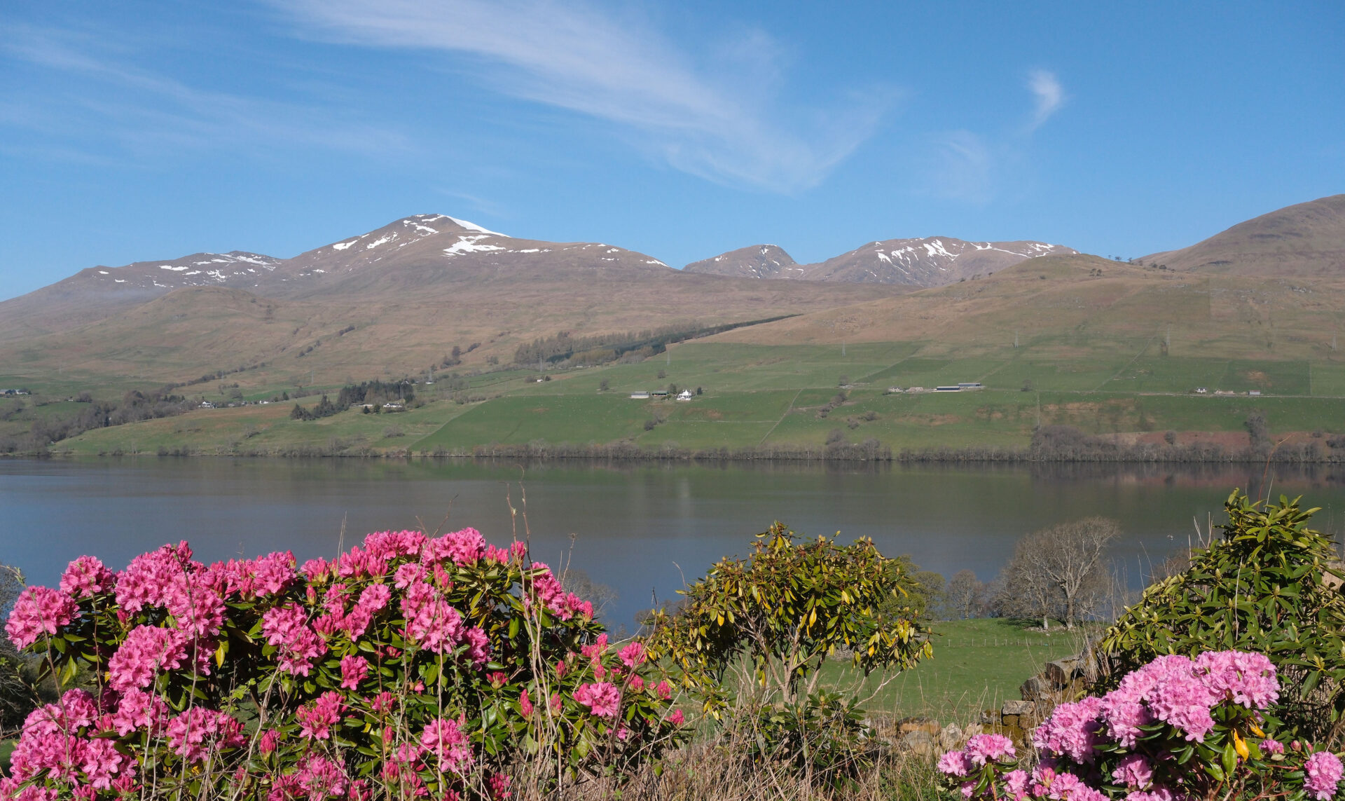
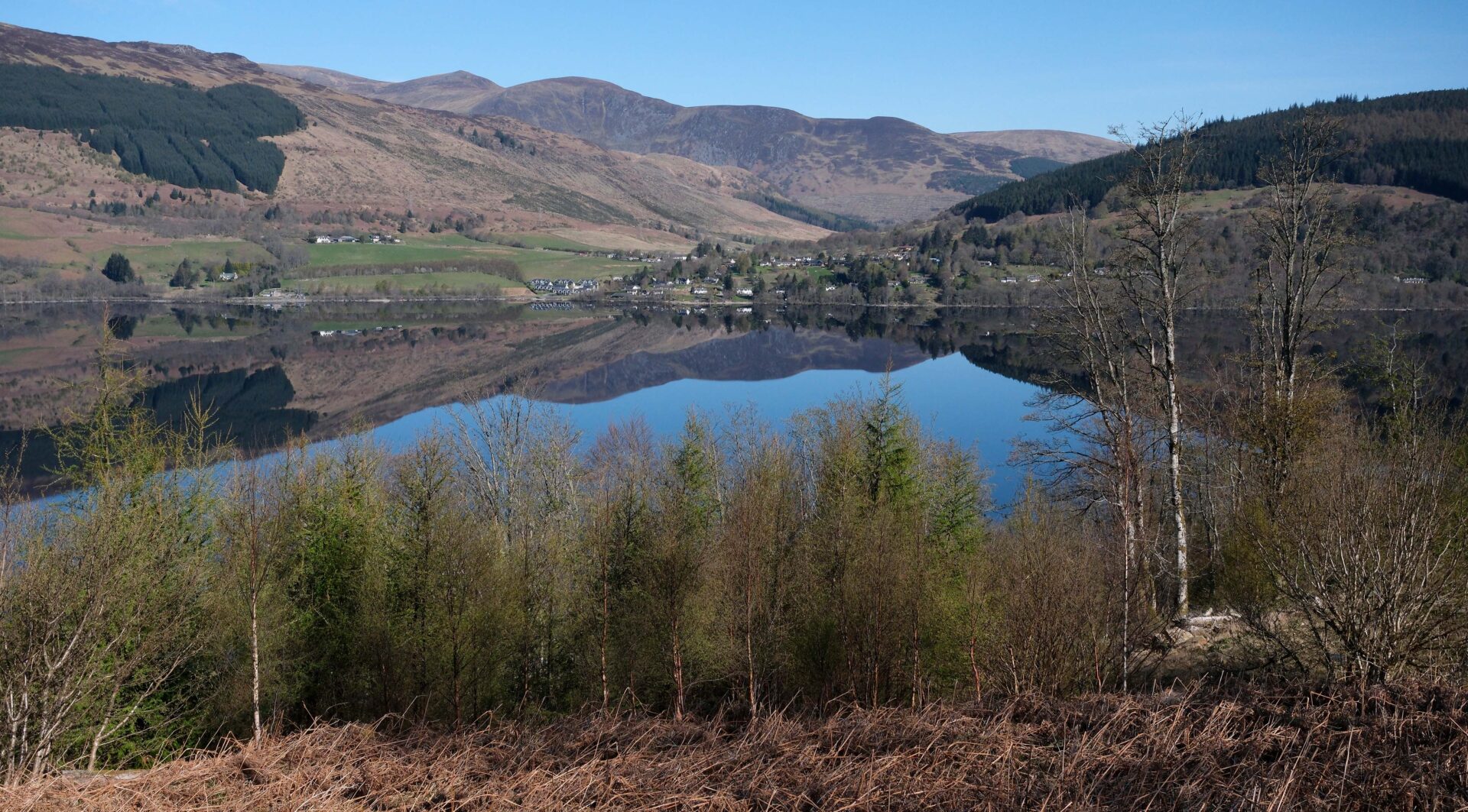
There are quite a few views of Munro’s (3000 foot mountains in Scotland) along the Rob Roy Way, although the route avoids going over any hills at all. Seeing them brought back memories of Jan and I climbing Munro’s and completing them in 1996.
I’m sure there were some Munro’s that I couldn’t pick out from a distance but the ones I could see were:
Ben Lomond from Aberfoyle.
Ben Vorlich and Stuc a’ Chroin from Lochearnhead and from Loch Tay.
Ben More and Stob Binnein from RRW south of Loch Tay.
Ben Lui and Beinn Heasgarnich from RRW south of Loch Tay.
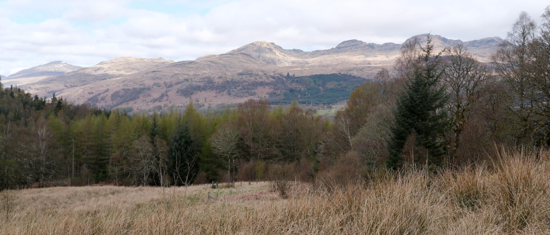
Meall nan Tarmachan, Beinn Ghlas, Ben Lawers, An Stuc, Meall Garbh, Meall Greigh and Schiehallion from RRW south of Loch Tay.
Most of the photos in this blog post were taken on my Fuji X-E5 camera with 23mm f2.8 lens, the camera is APSC format so this roughly equates to a 35mm lens on old 35mm film cameras. For 35mm film cameras 24mm to 35mm “wide-angle” lenses were popular for landscapes, especially with me!
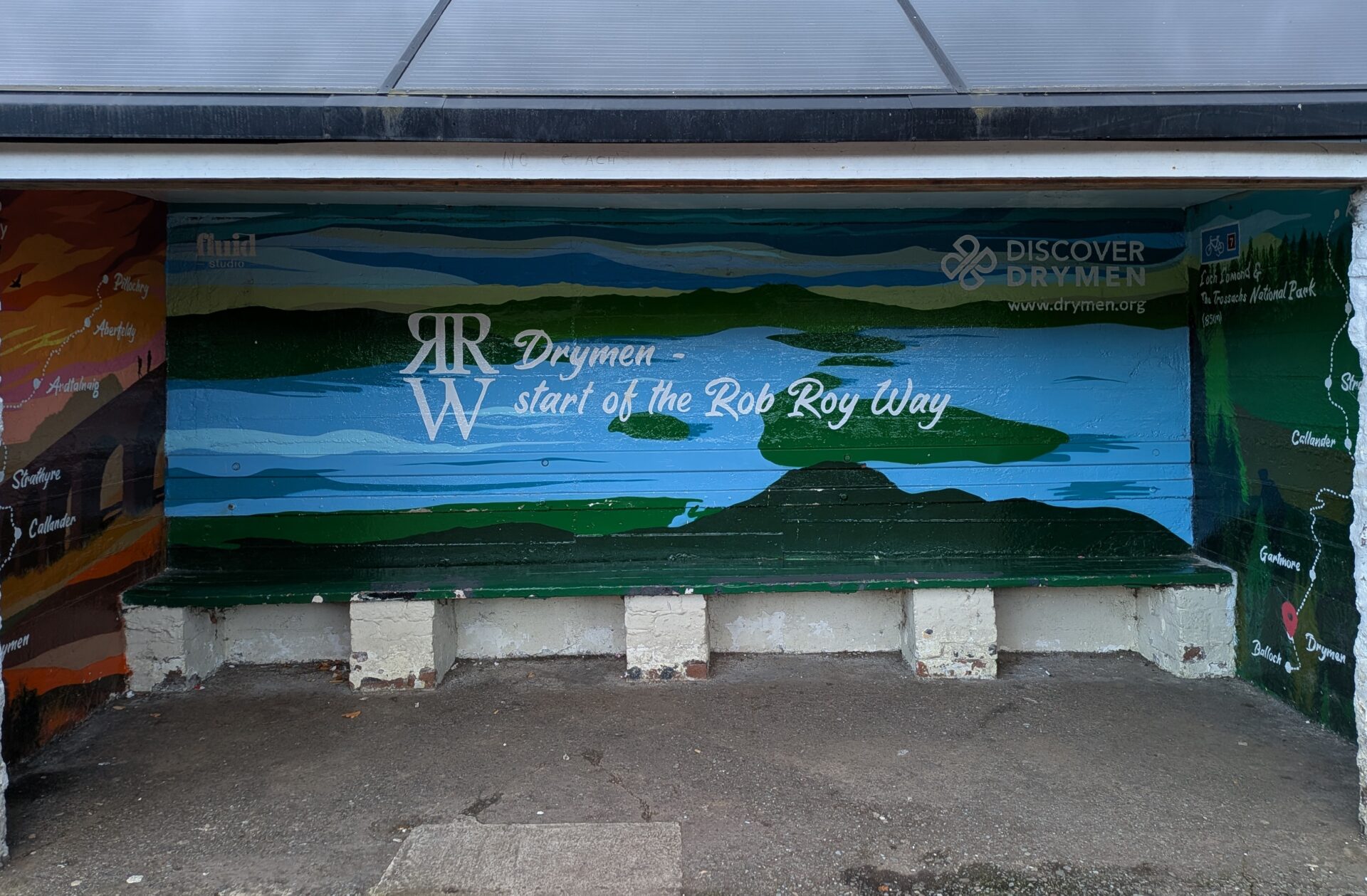
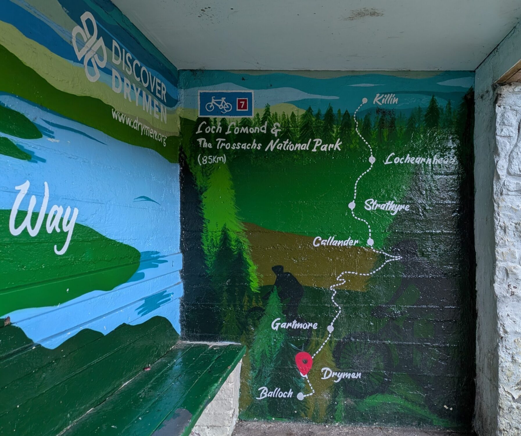
Day 1 Drymen to Aberfoyle 11.1 miles
After a good cooked breakfast we were off at the crack of 9.40am! Most of the days on the Rob Roy Way are not that long so we didn’t need to be away any earlier. It was raining as we left so we were in full waterproofs from the start.
It was 11°C with rain showers most of the day.
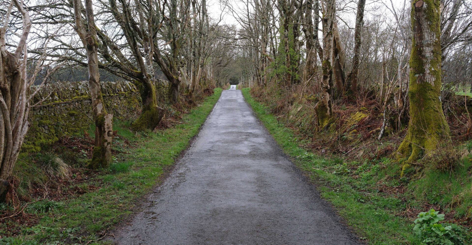
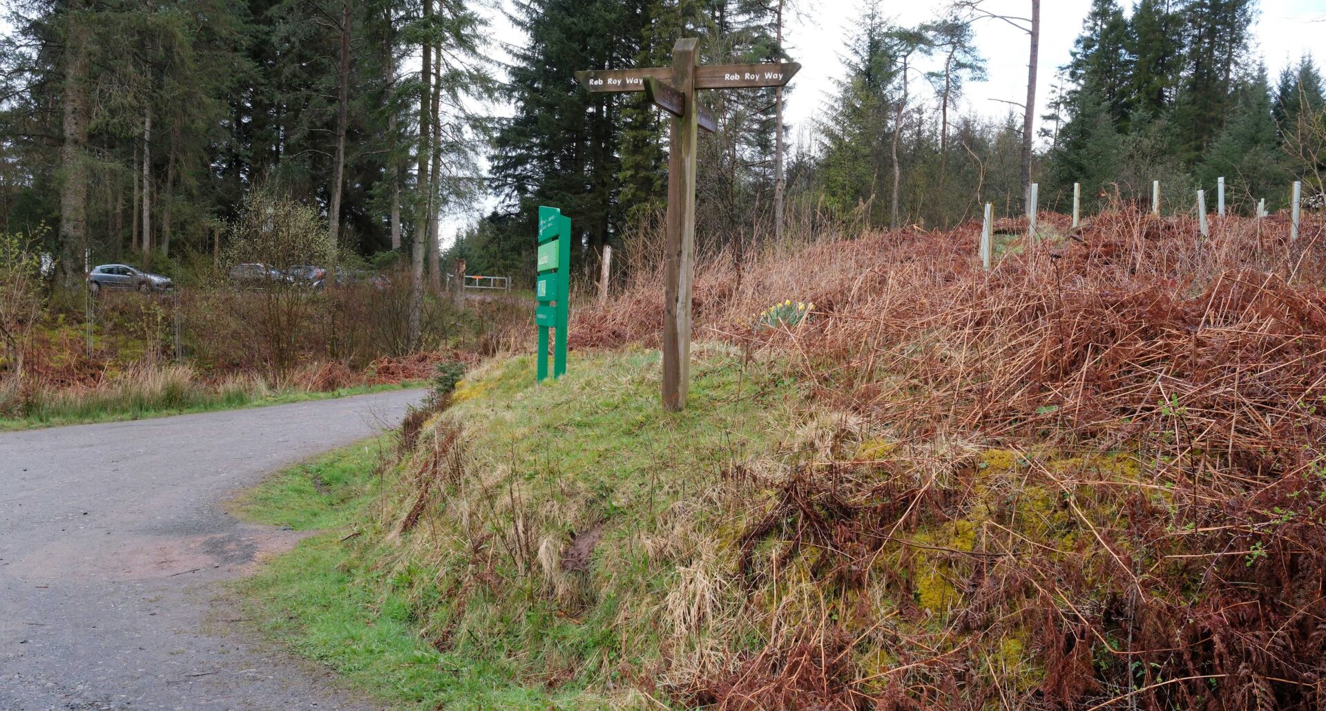
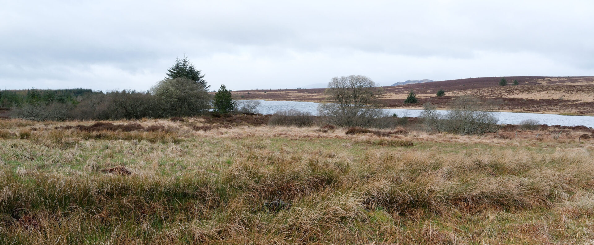
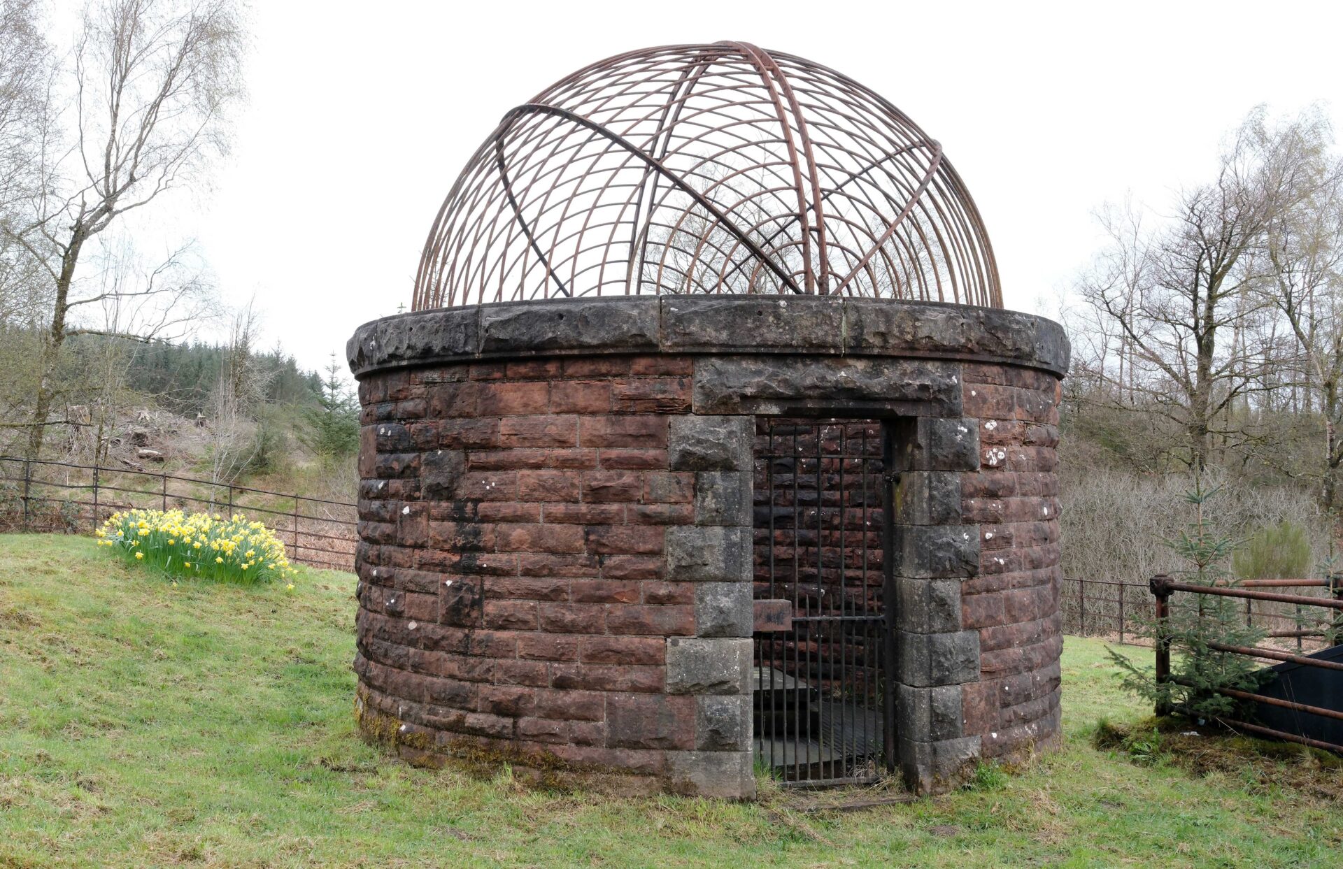
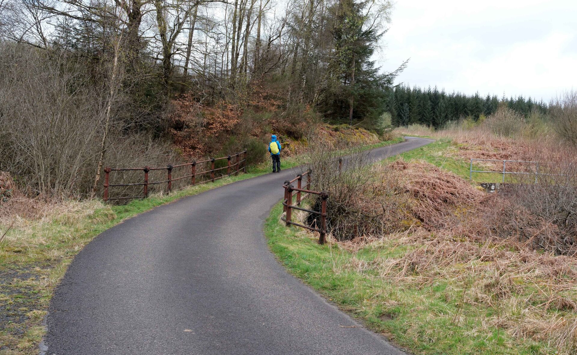
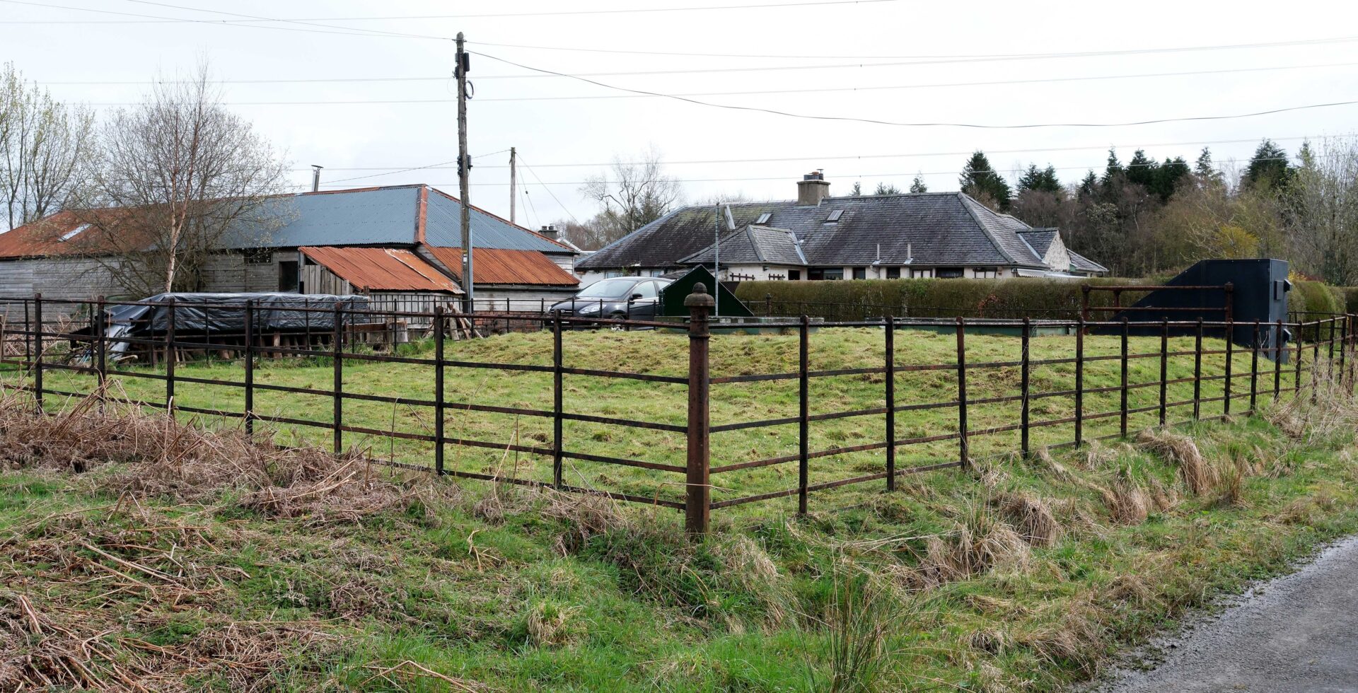
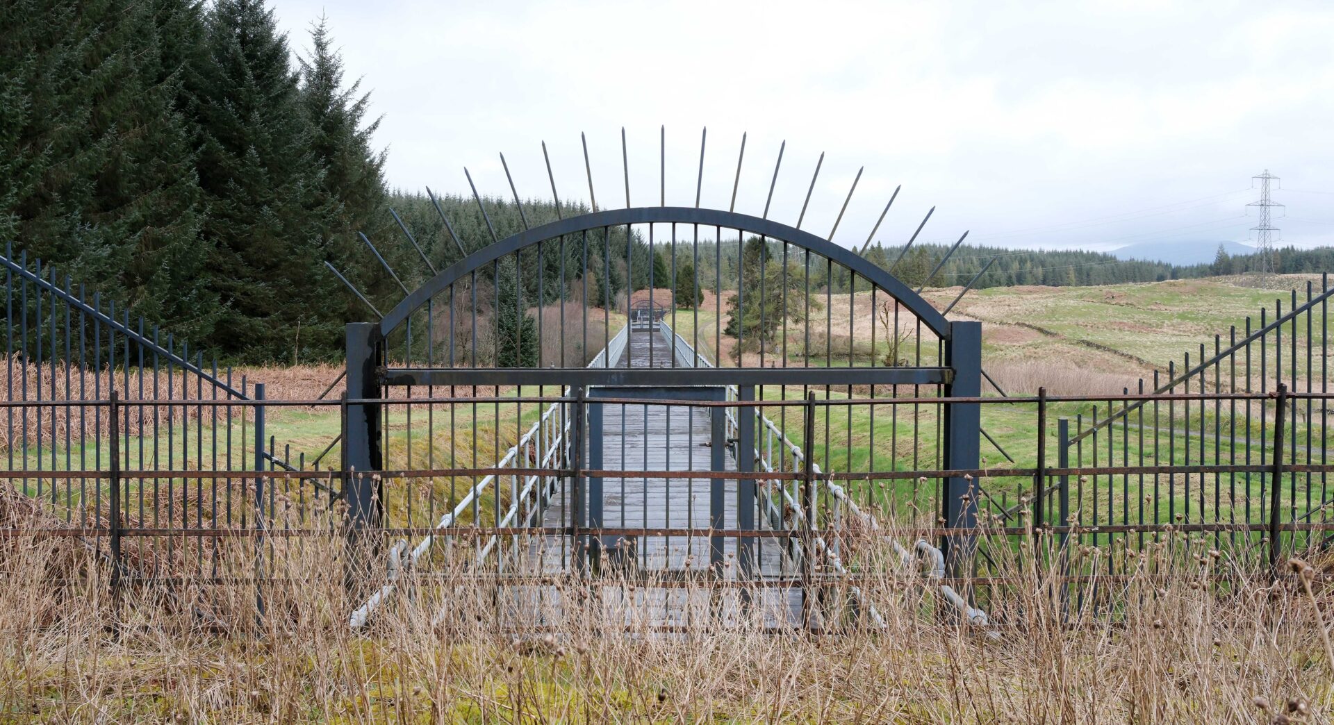
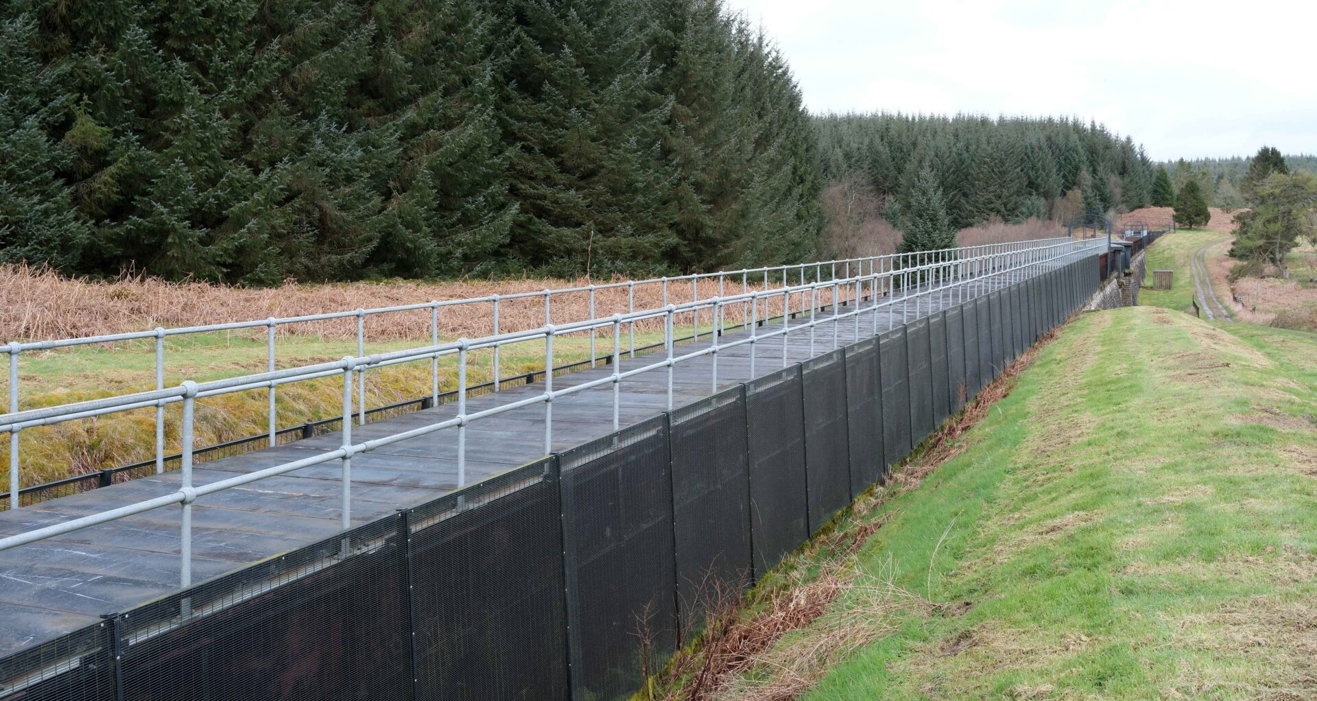
12.45pm We stopped for a 15 minute break and a bite to eat before continuing to Aberfoyle.
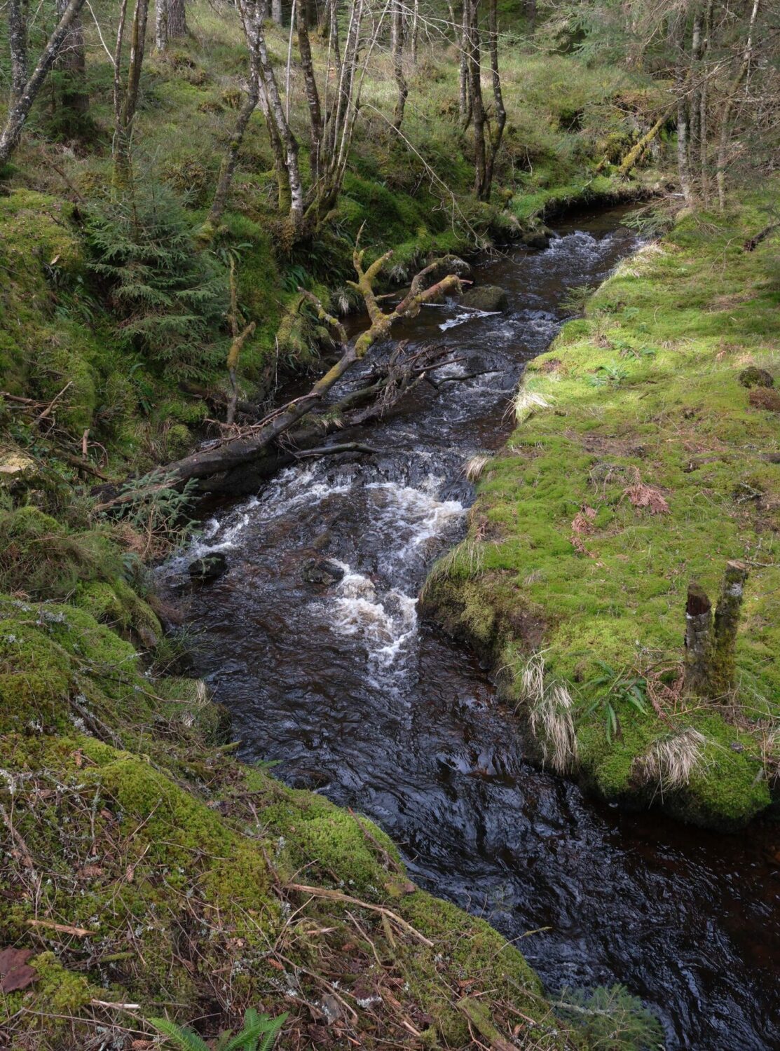
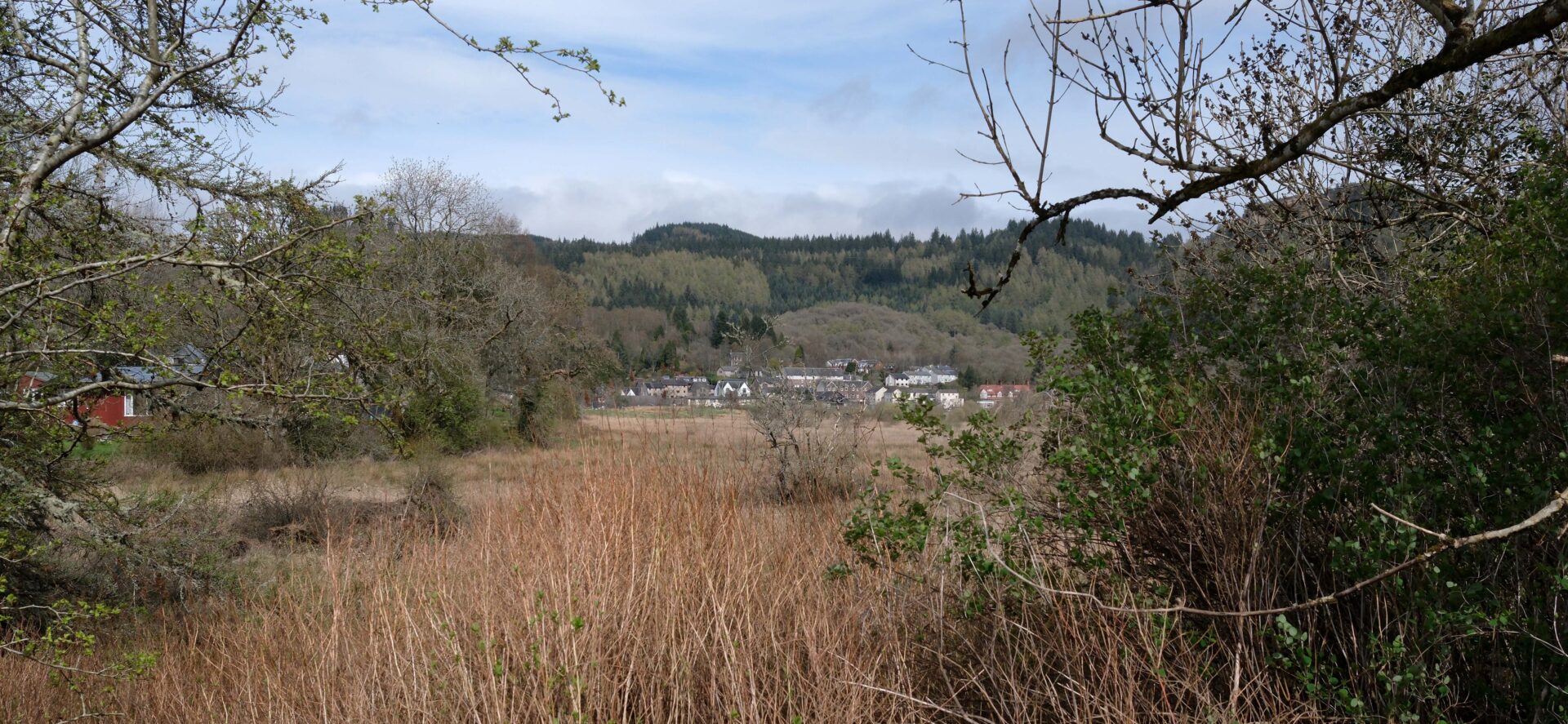
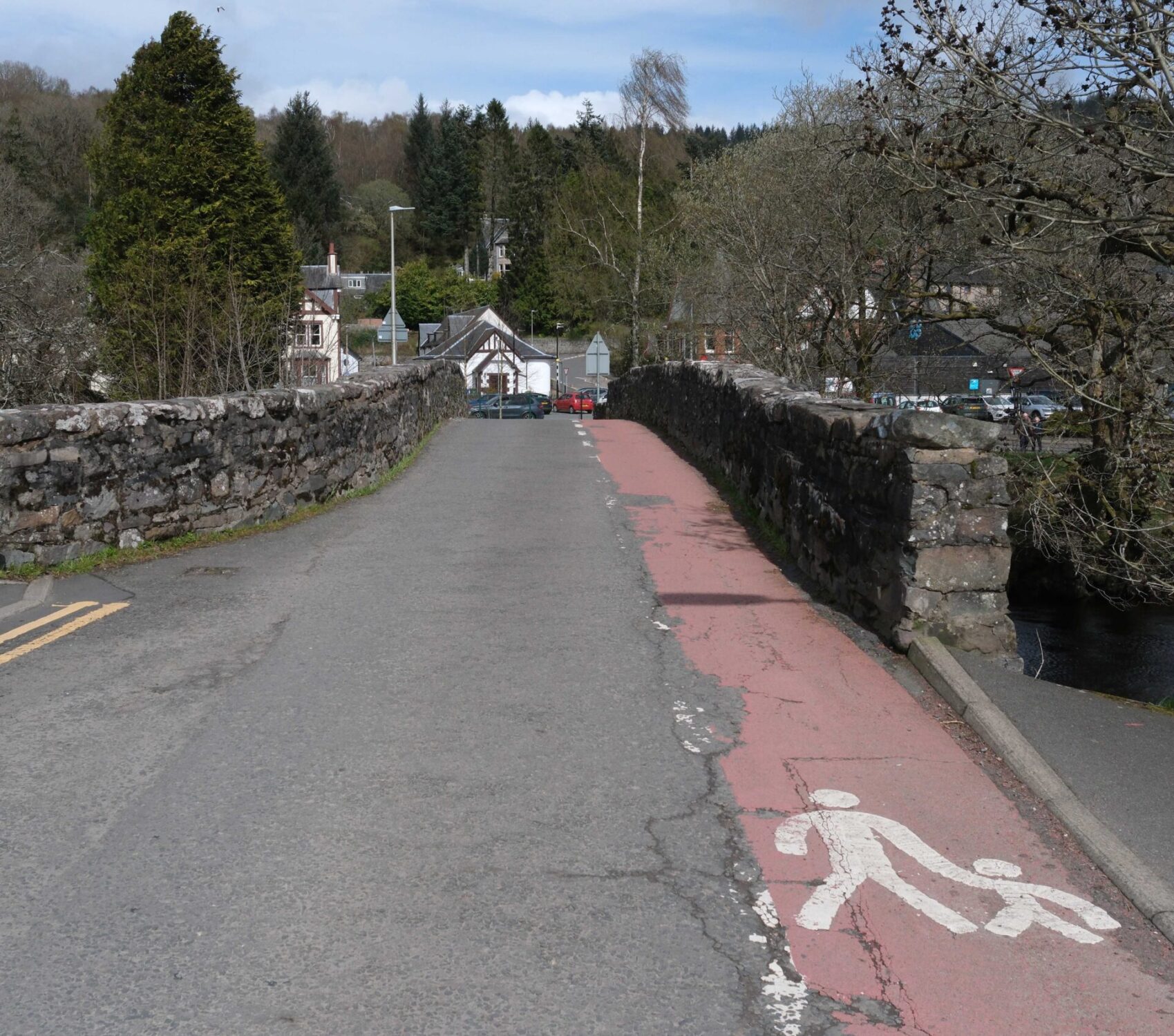
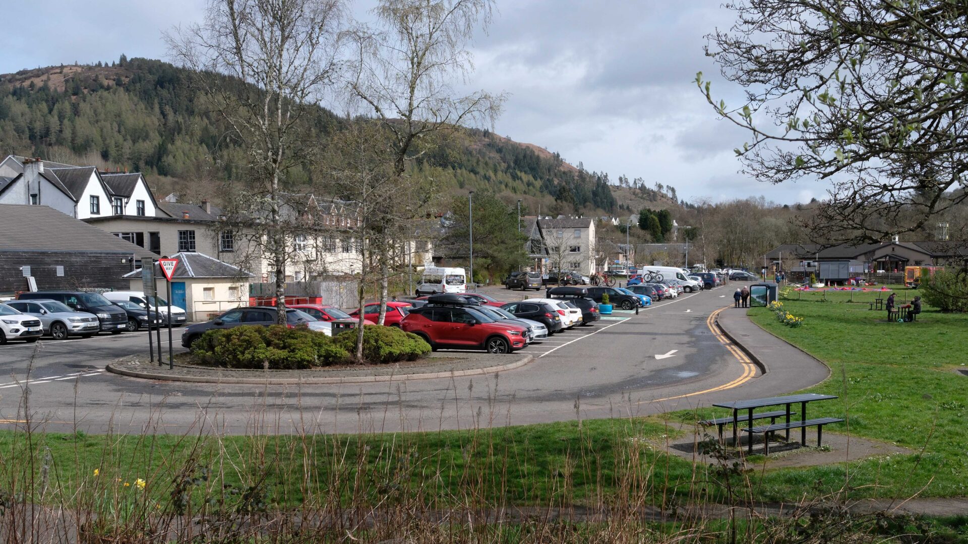
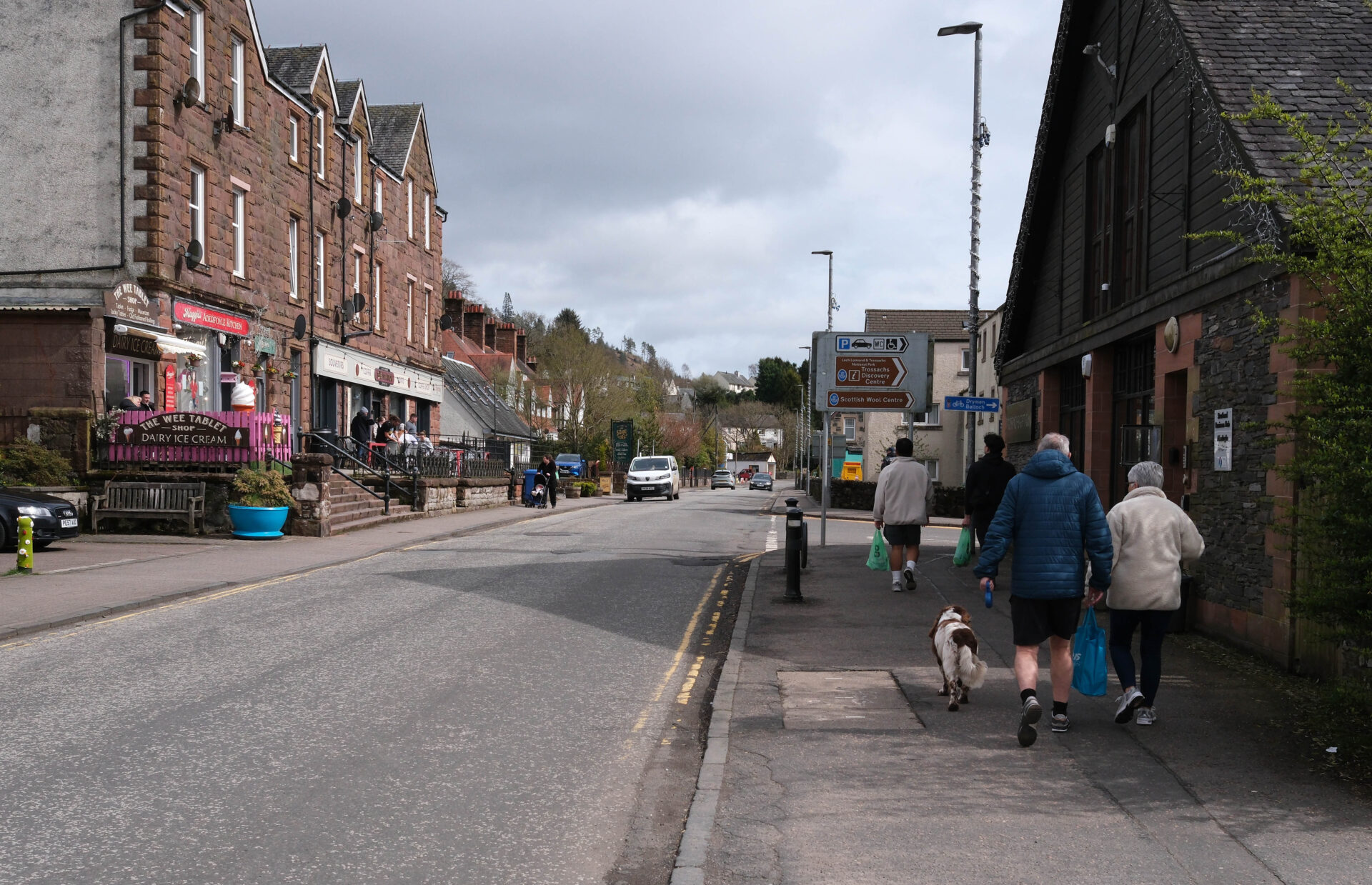
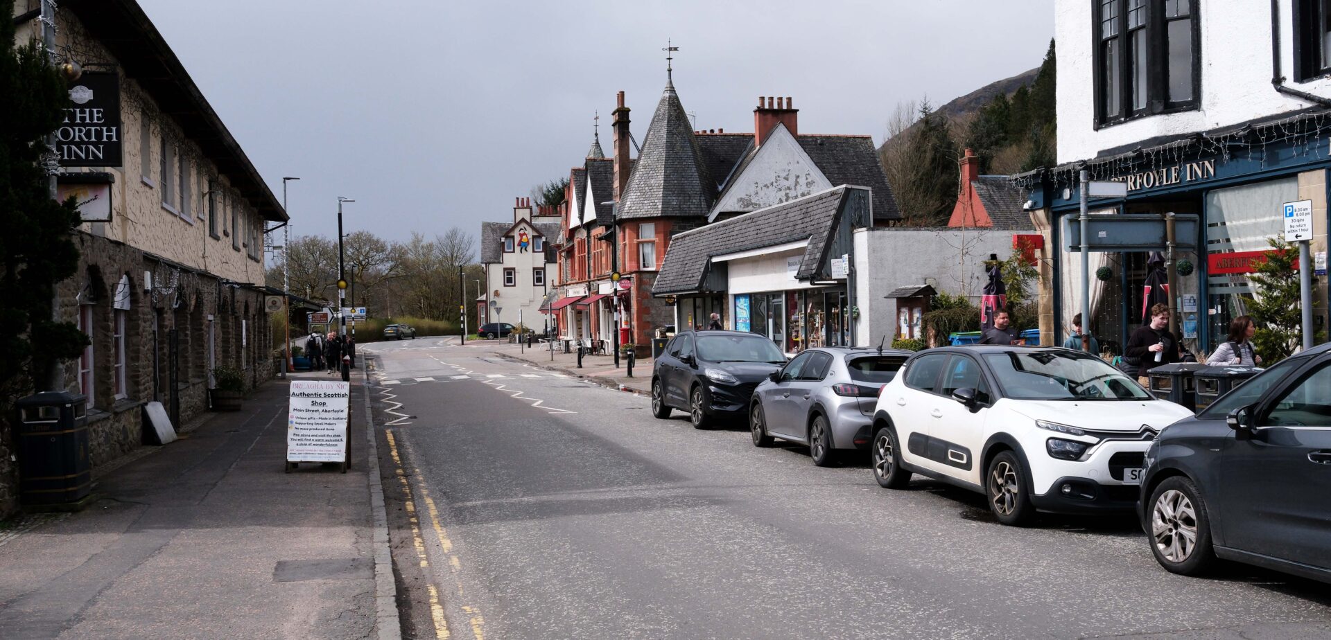
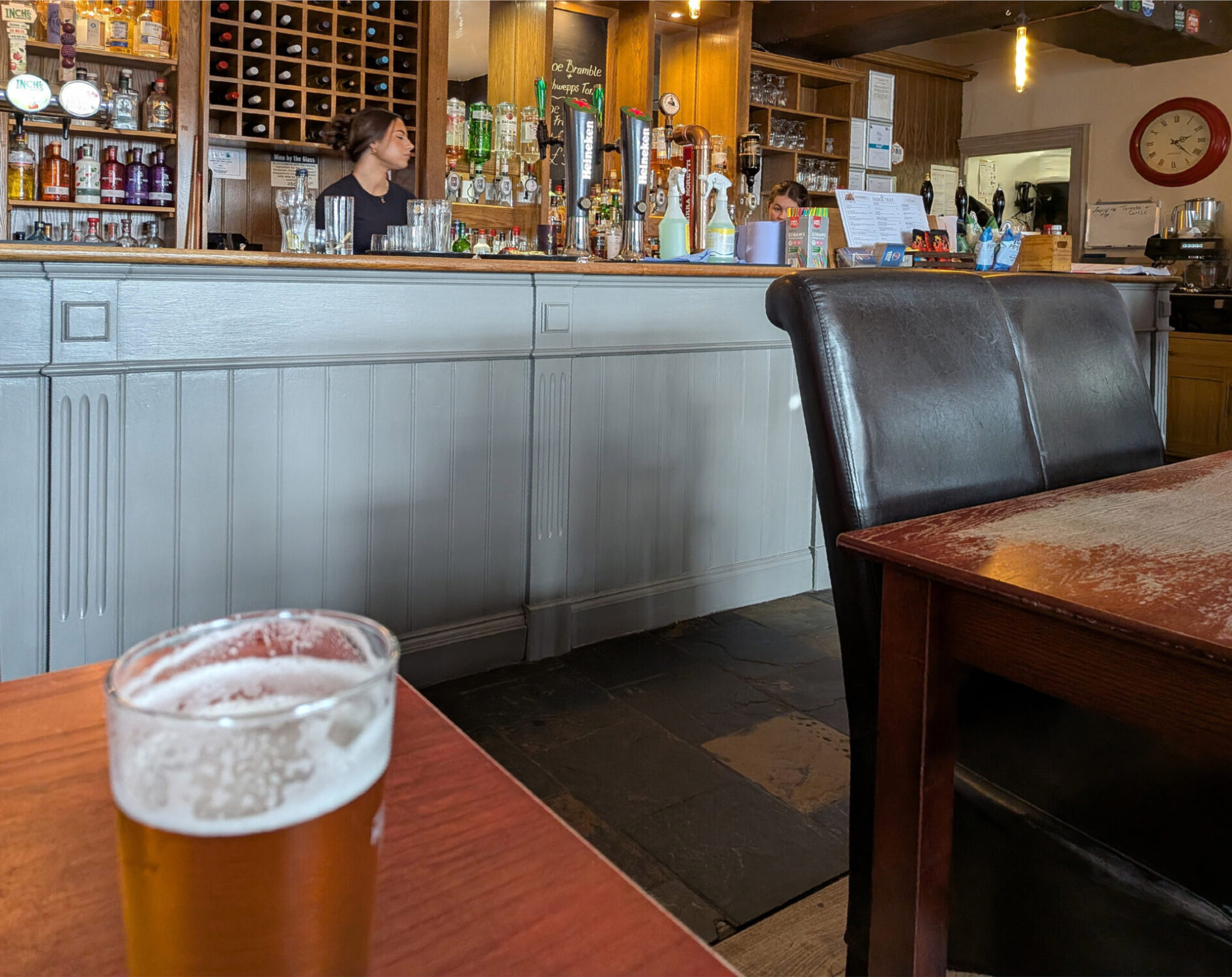
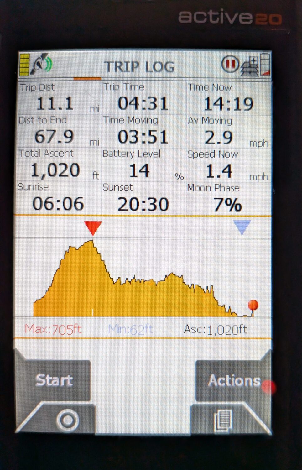
Overall it was 4 hours 30 minutes hours and 11 miles walking at a pretty leisurely pace. Jan walked the whole day with me.
We ended the day with a taxi back to Drymen Clachan Inn for another pint but had our evening meal at the Winnock Hotel, which was very busy with coach parties.
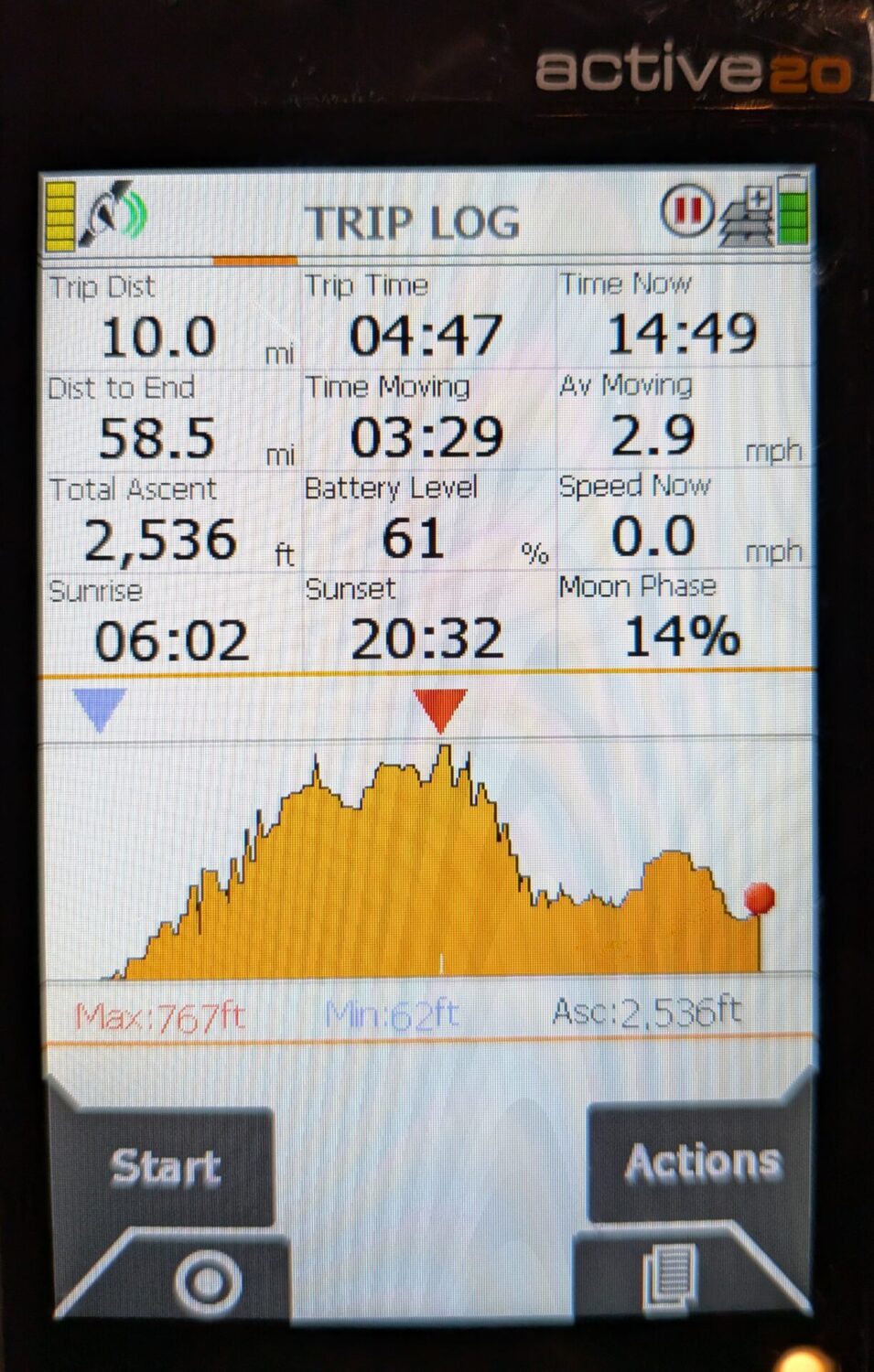
Day 2 Aberfoyle to Callander 10.0 miles
We checked out of the Winnock Hotel and drove from Drymen to Aberfoyle and parked in the free Riverside car park beyond the Co-op part. It was 11°C and mostly sunny spells.
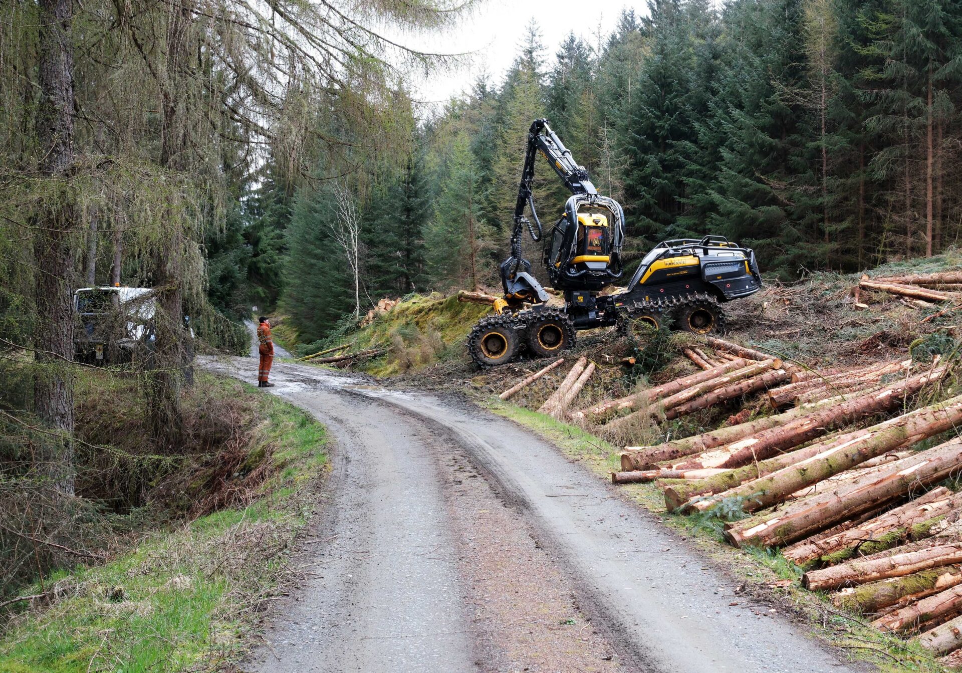
We set off at 10.05am, passing the Dounans centre at 10.20am where from the noise it sounded like it was drum practice day! Then we passed an archery range and the golf course to a forestry road. There were lots of cleared areas with large stacks of tree trunks beside the road.
I was expecting good views of Ben Ledi today so I was carrying my big Mamiya 7 camera with 43mm lens and loaded with Ilford 400 Delta 120 film. It gives me 10 shots to a roll of film. The colour shots were taken on my Fuji X-E5 with 23mm f2.8 lens in aperture priority mode (I seldom use anything else with this camera).
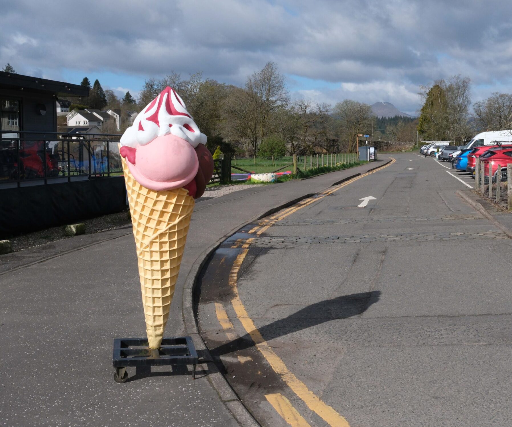
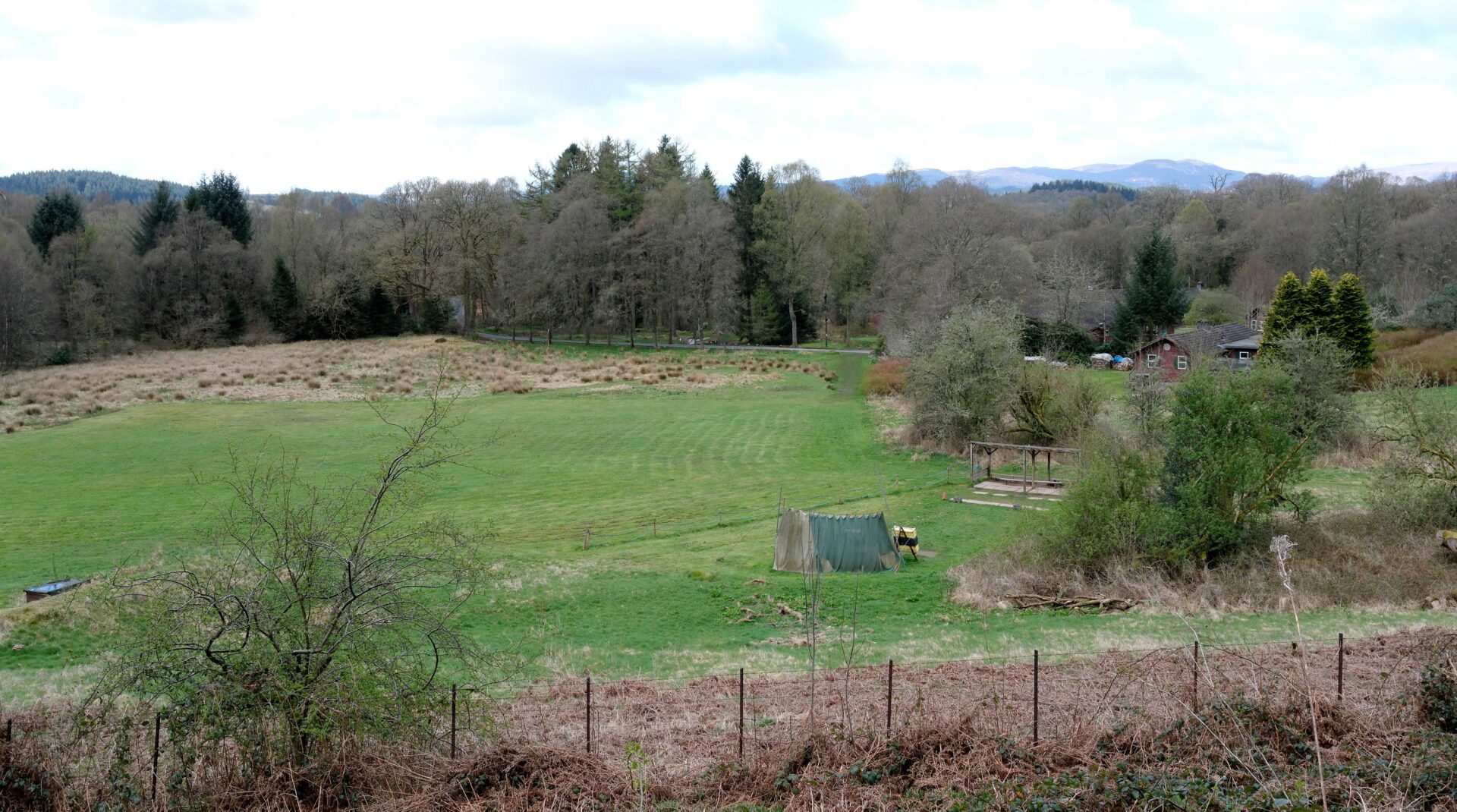
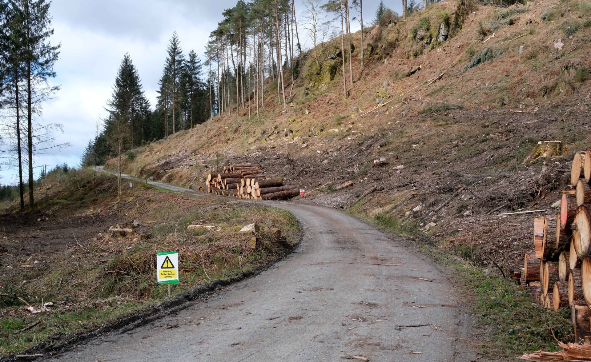
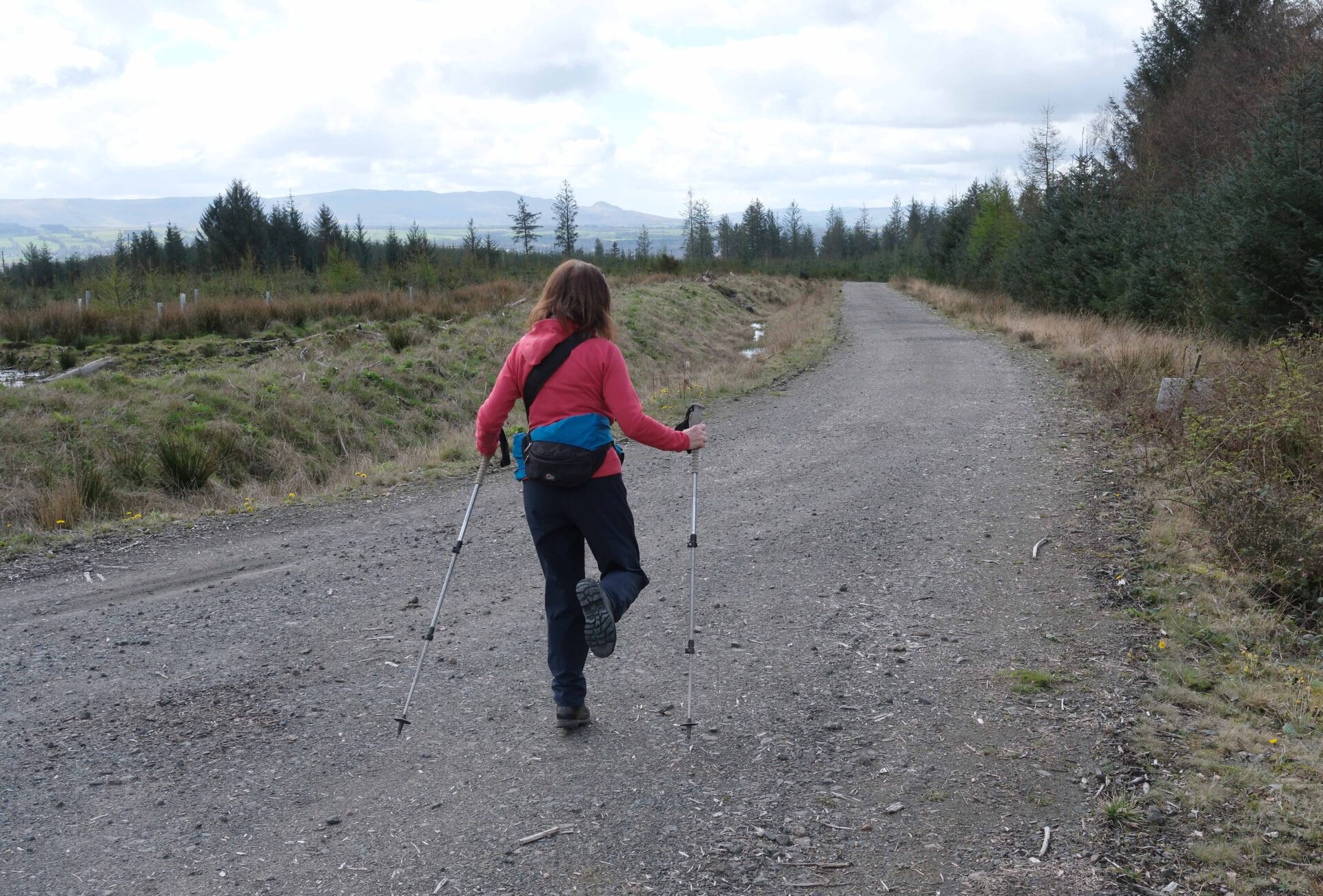
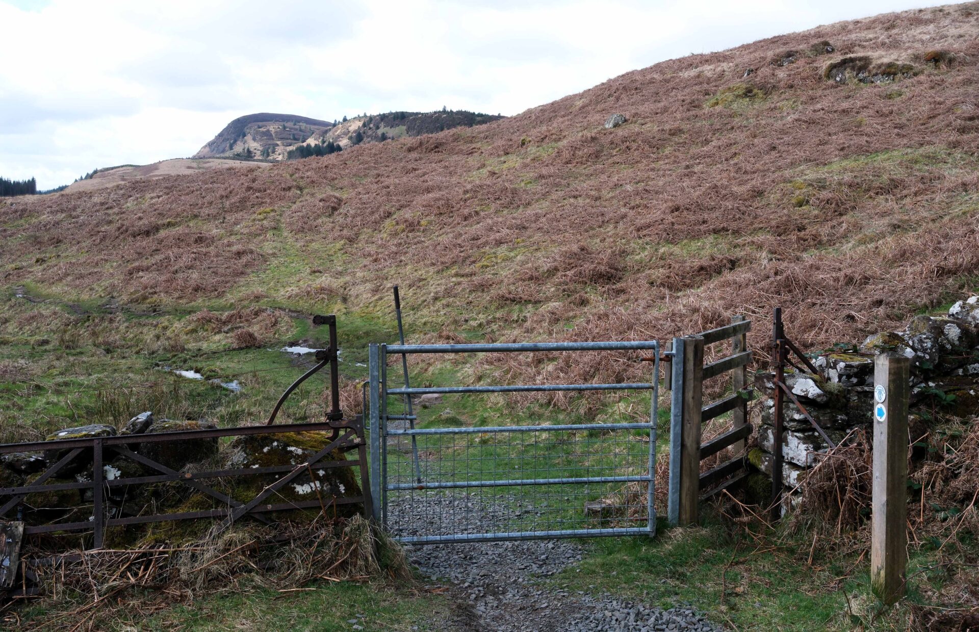
11.20am 6 mountain bikers passed me but I caught up with them at a small metal gate to open country. They seemed to be changing to cooler clothes. After a brief chat I was off again over the moors and they soon passed me. It wasn’t that muddy underfoot so I made good time and was soon back into the forest.
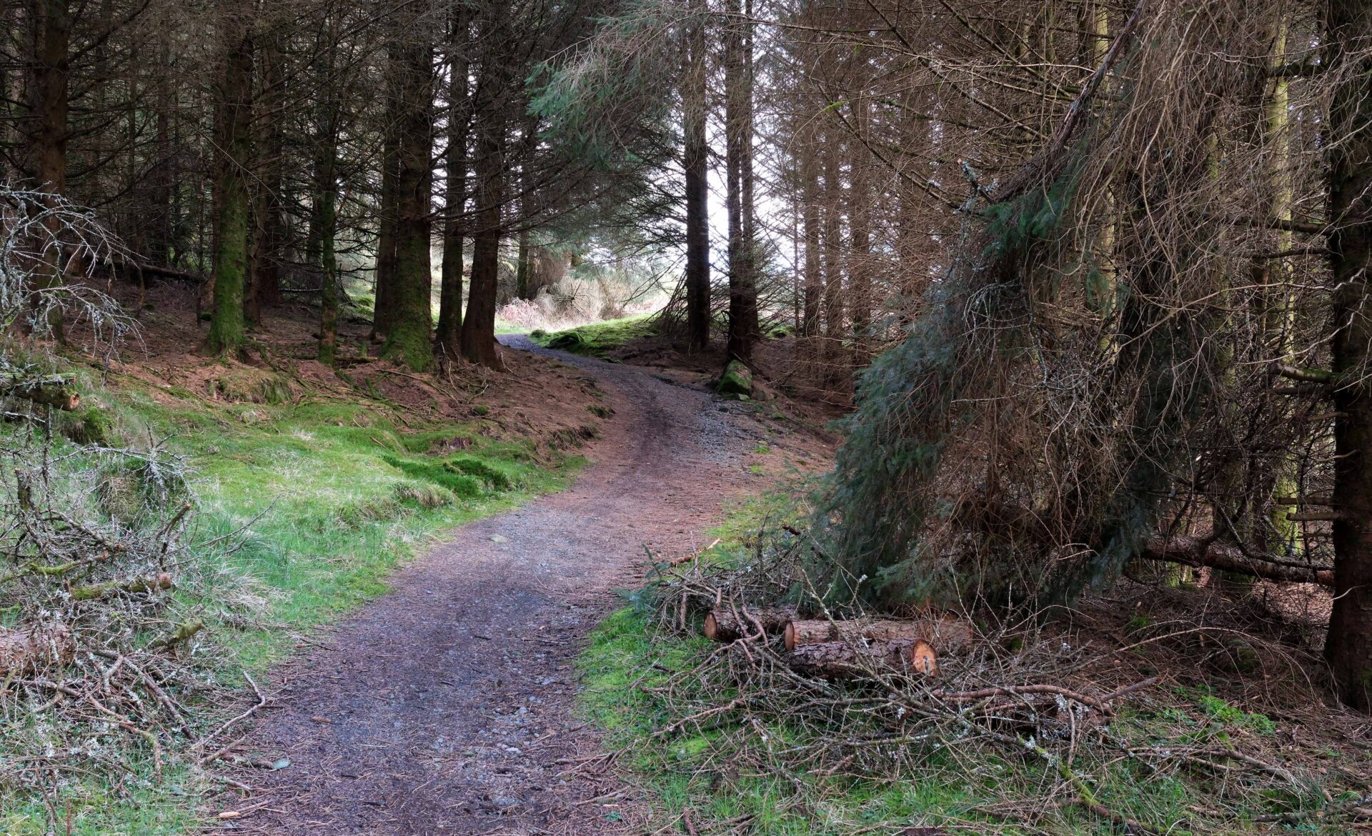
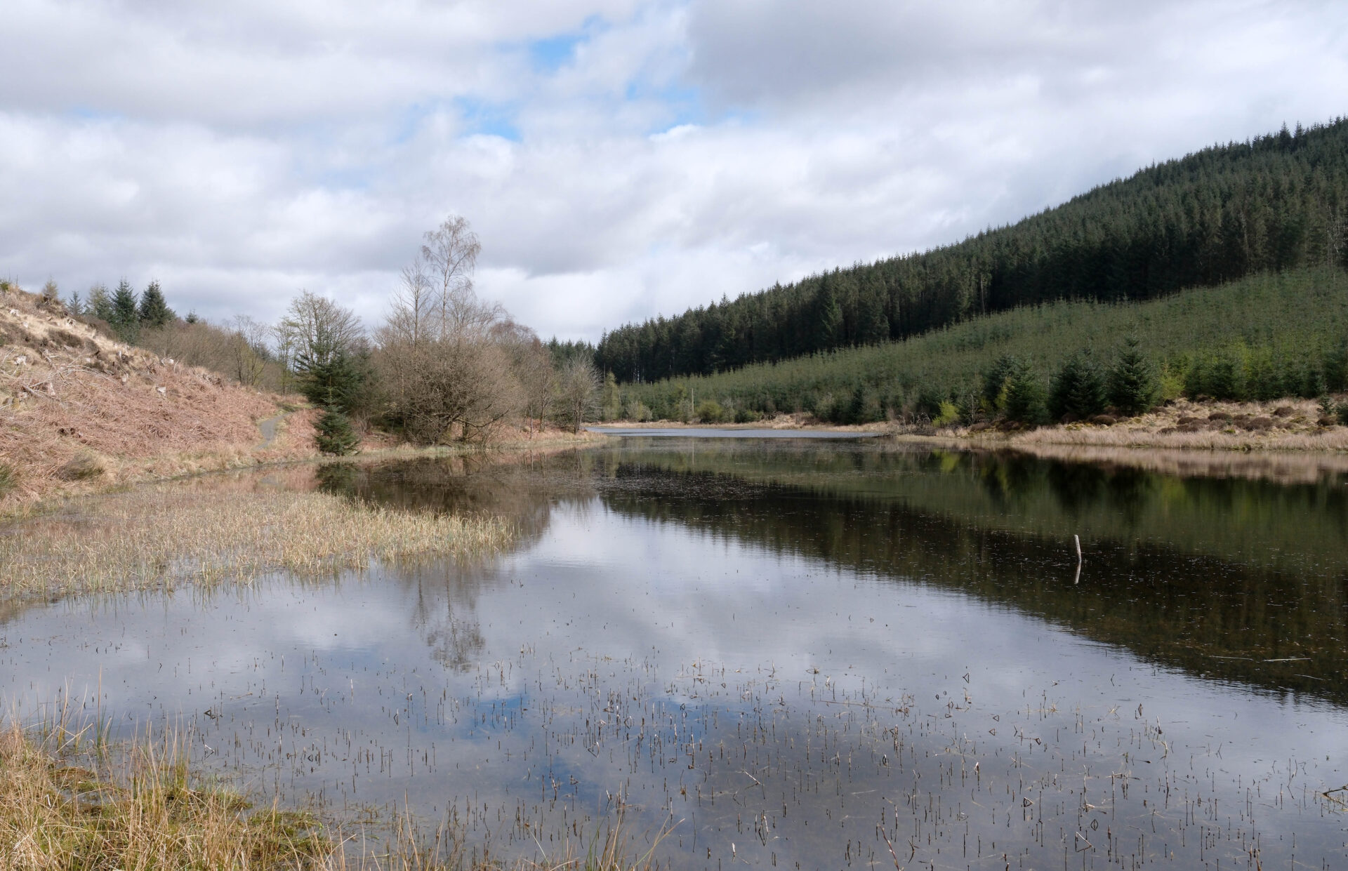
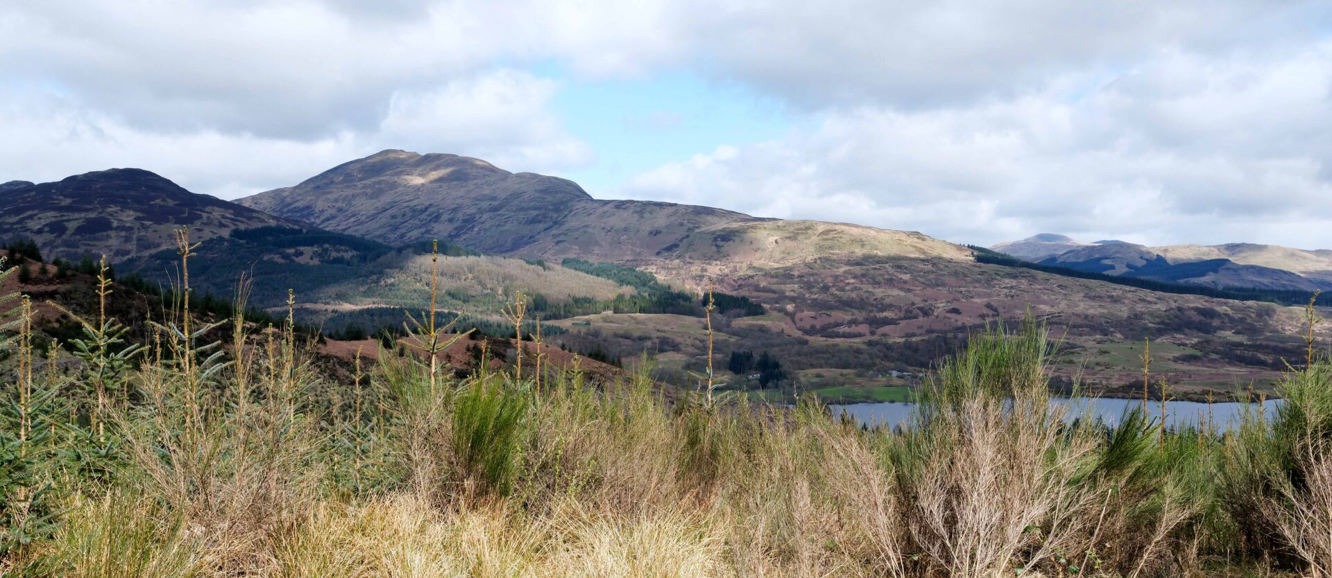
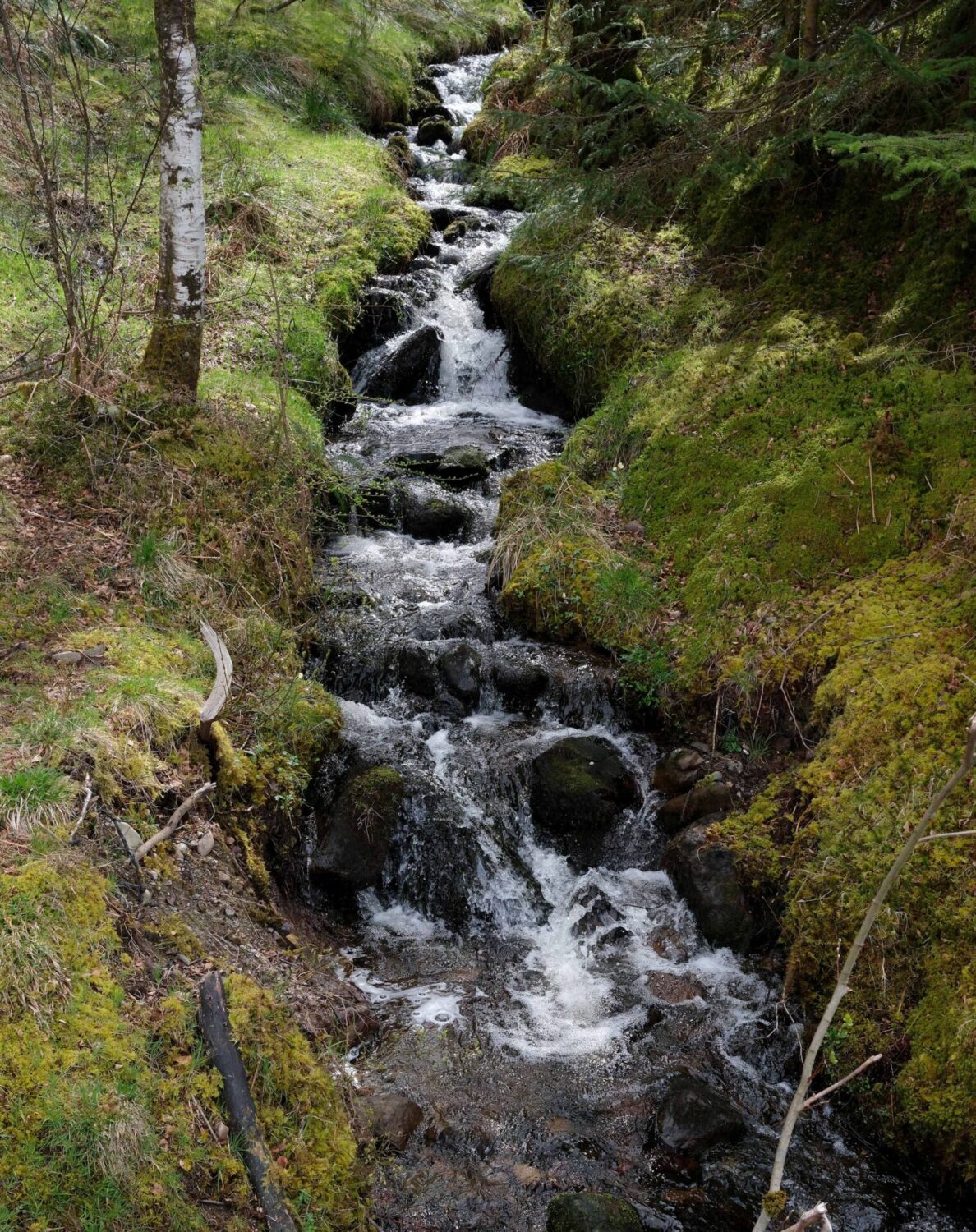
There were good forestry roads all the way down from the lochan to the car park and road beside Loch Venachar. I slipped over taking photos at the water’s edge but fortunately kept the 2 cameras dry that were around my neck. I had a bruised forearm and little finger but was otherwise unscathed and my boots were a bit cleaner!
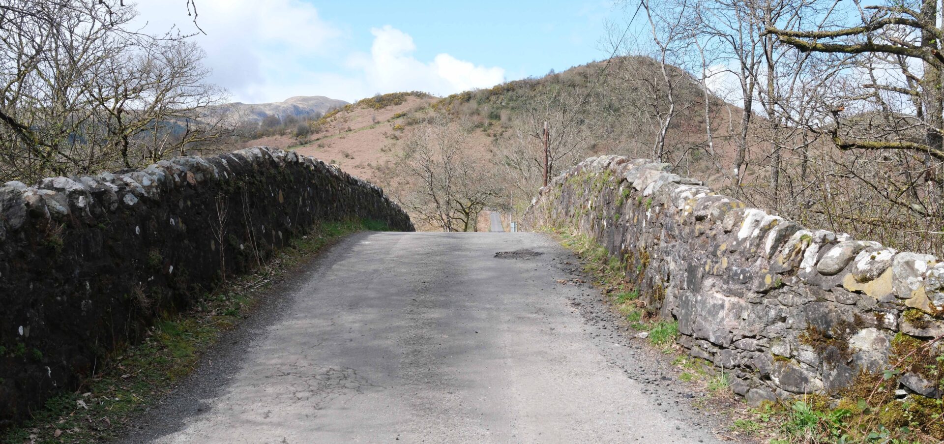
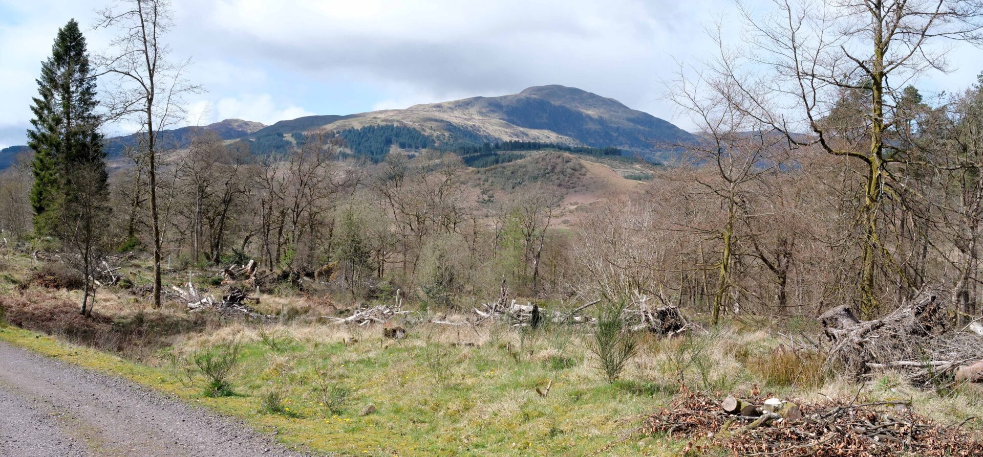
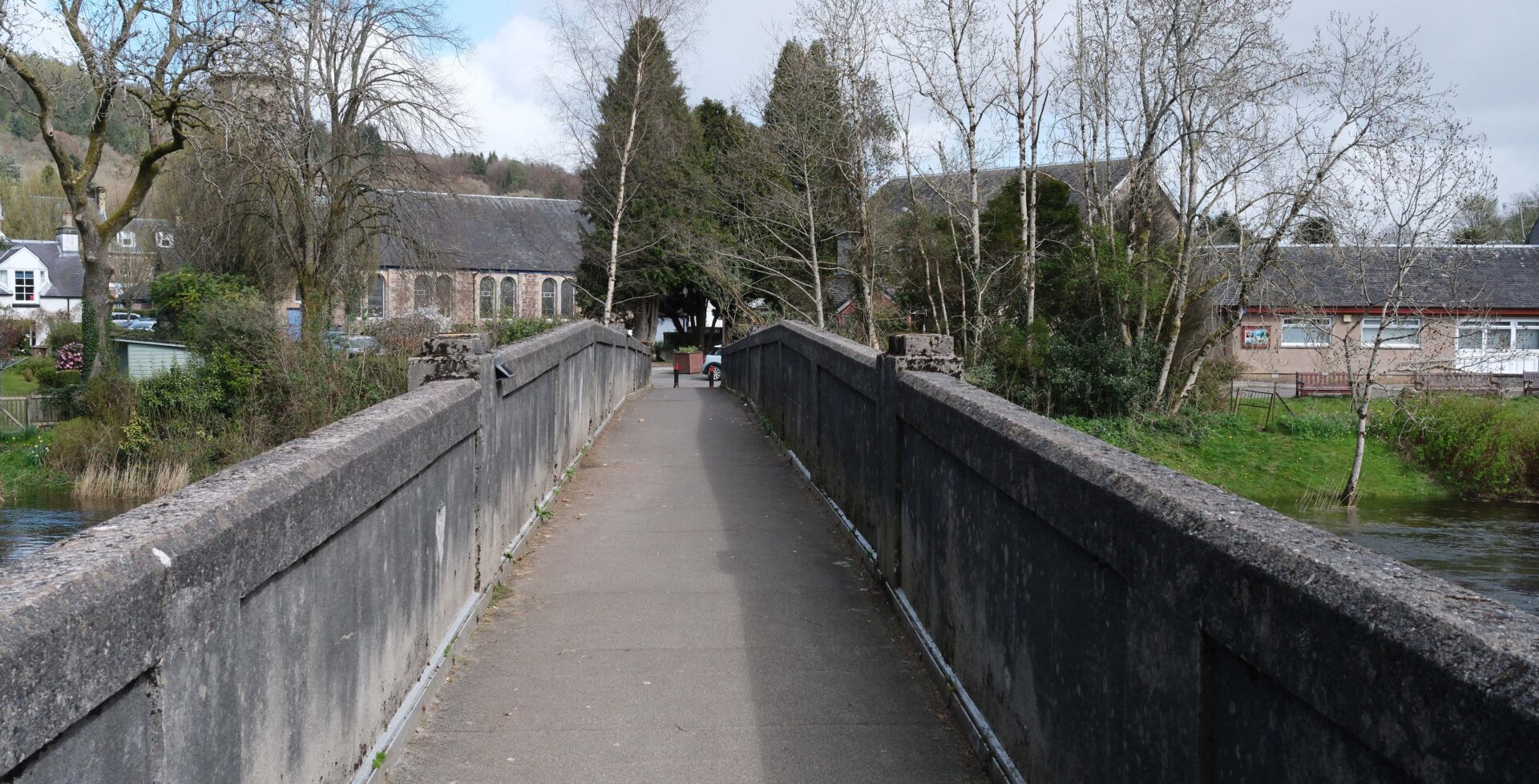
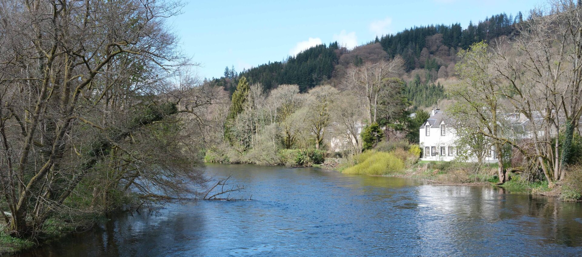
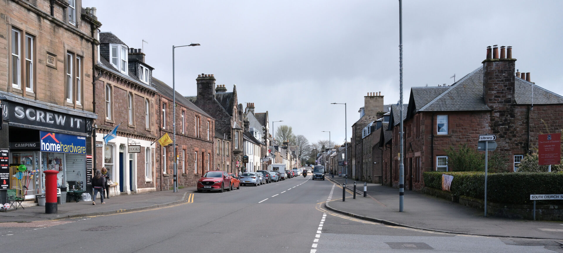
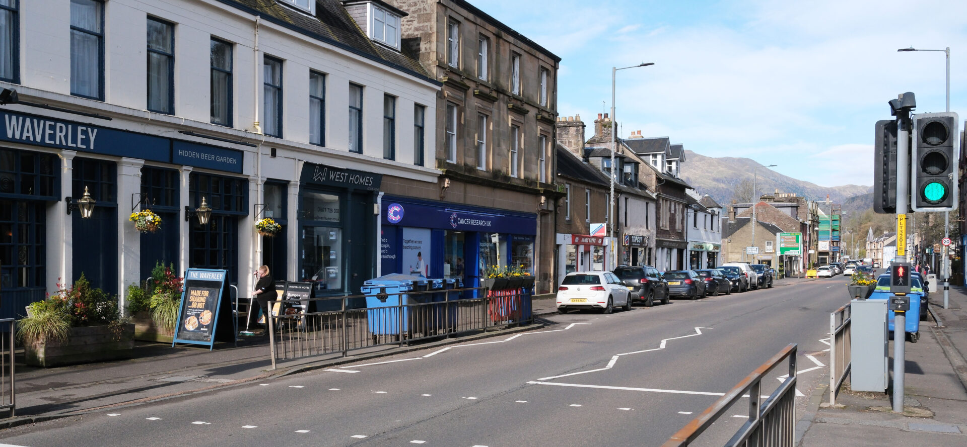
We were staying at the Waverley Hotel which I reached at 2.16pm. I went in, bought a beer and then watched the Celtic v St Mirren cup semi-final 2nd half. Jan arrived a bit after 3pm so we checked in and went up to our room.
It was 4 hours 11 minutes and 10 miles on a dry sunny day in 10°C with little wind. Good weather for walking.
Day 3 Callander to Strathyre 10.0 miles
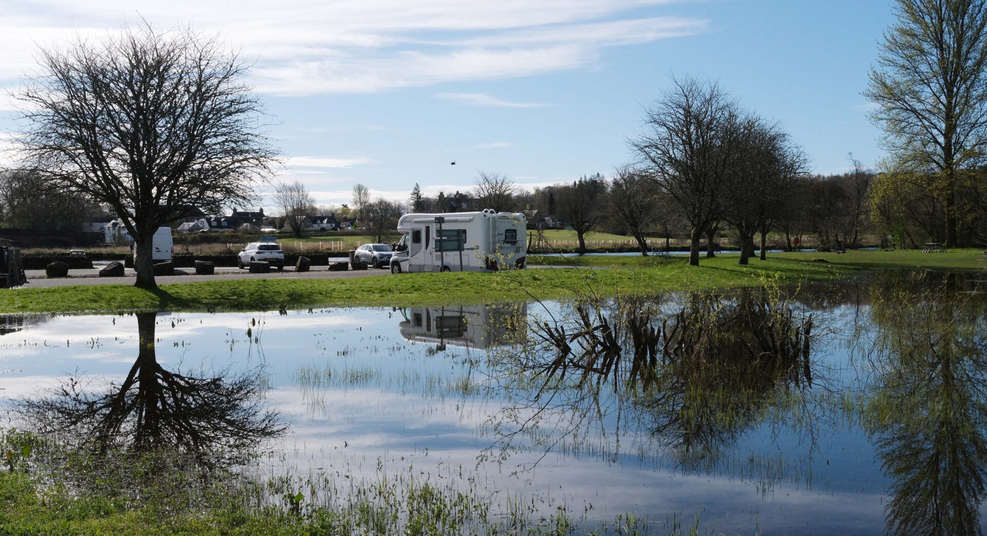
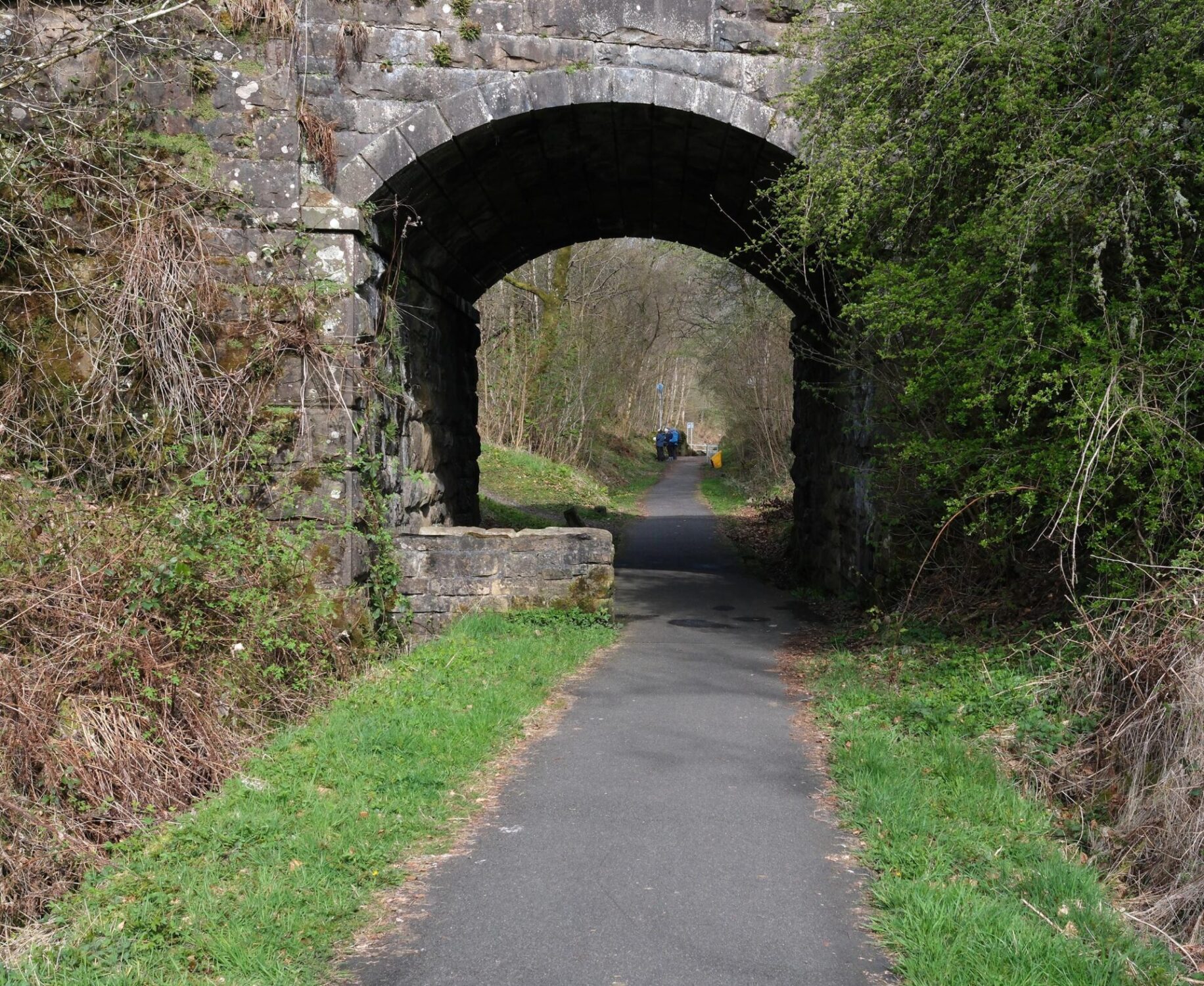
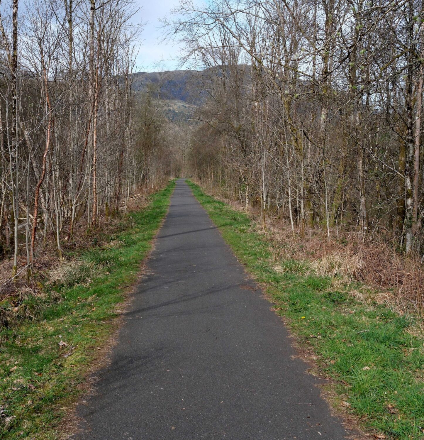
The day started at 9.30am with sunshine, little wind and 10°C as we headed west along the main street to the Riverside Park. This was flooded in places but gave some nice reflections. The track soon picked up and followed the old railway line, long since covered in tarmac to make a cycle track and footpath.
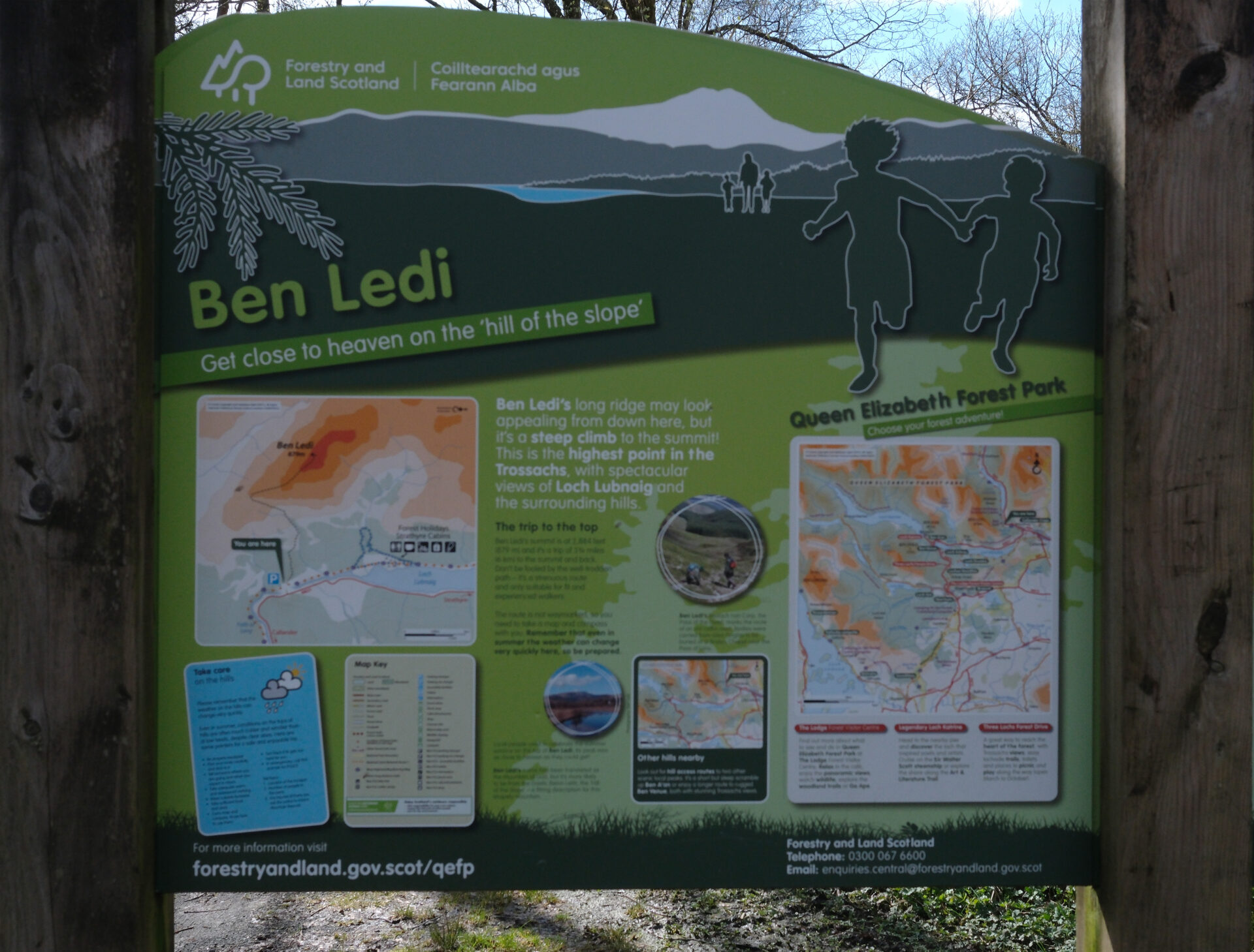
Jan turned back at 10.46am just before the Ben Ledi car park and info board.
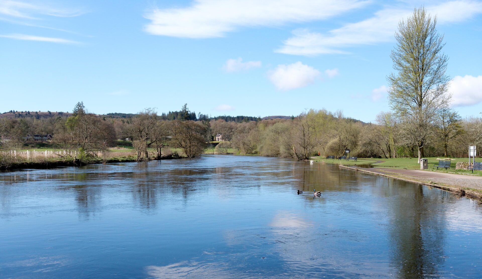
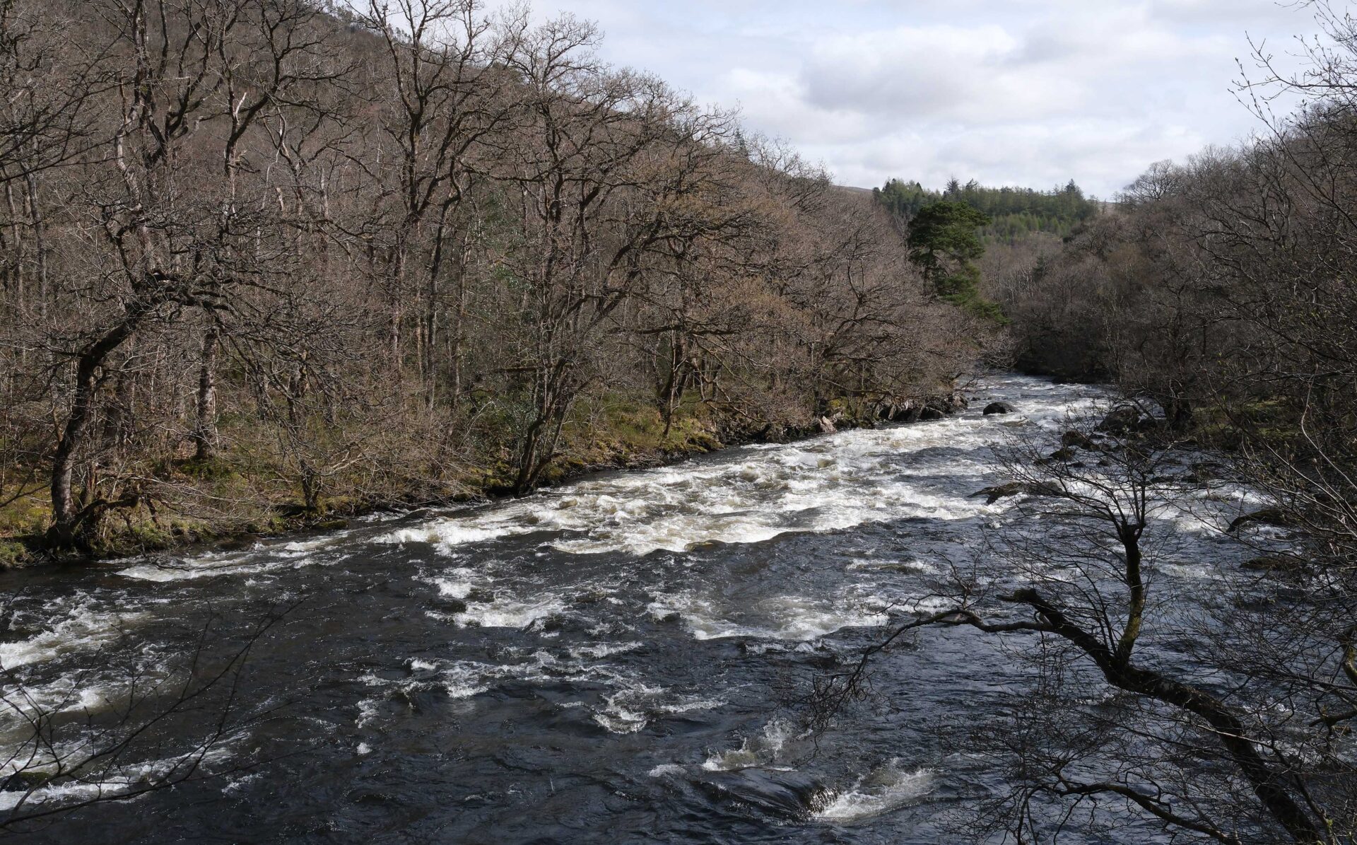
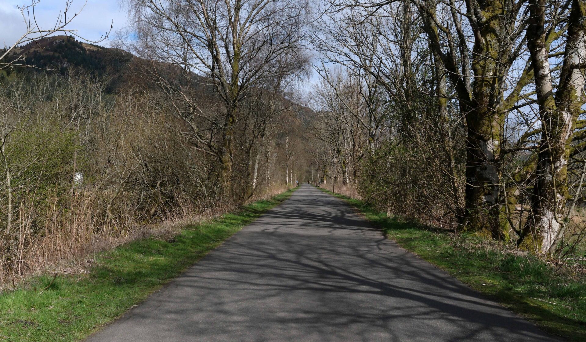
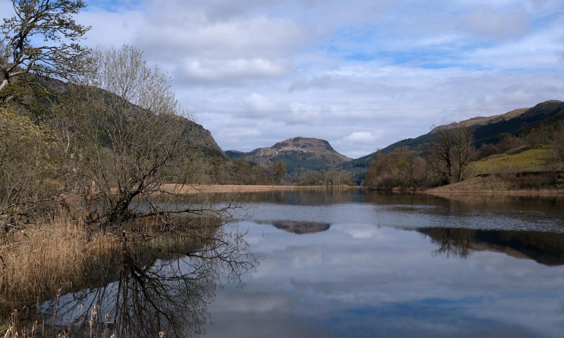
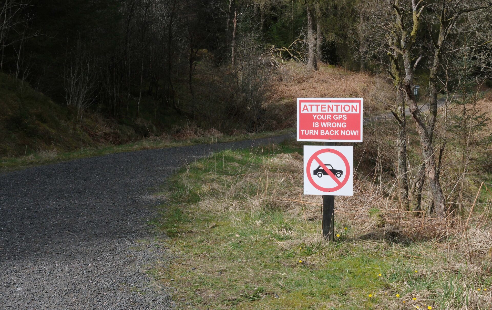
There was a restricted road along the side of Loch Lubnaig which led to a holiday cabin complex. Soon after this I met Lauren from Arizona, also walking the Rob Roy Way, who was a retired Colonel from the US army and also retired as a nurse from working in a hospital. We chatted for a mile or so before I spotted a photo I had to take looking up the loch and dashed off to the lochside.
I caught up with Lauren again briefly when she stopped for her lunch break at the far end of Loch Lubnaig. I carried on to Strathyre and reached it at 1.15pm. The clouds were building and it was starting to look like it might rain.
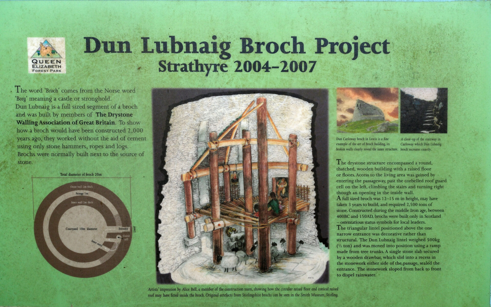
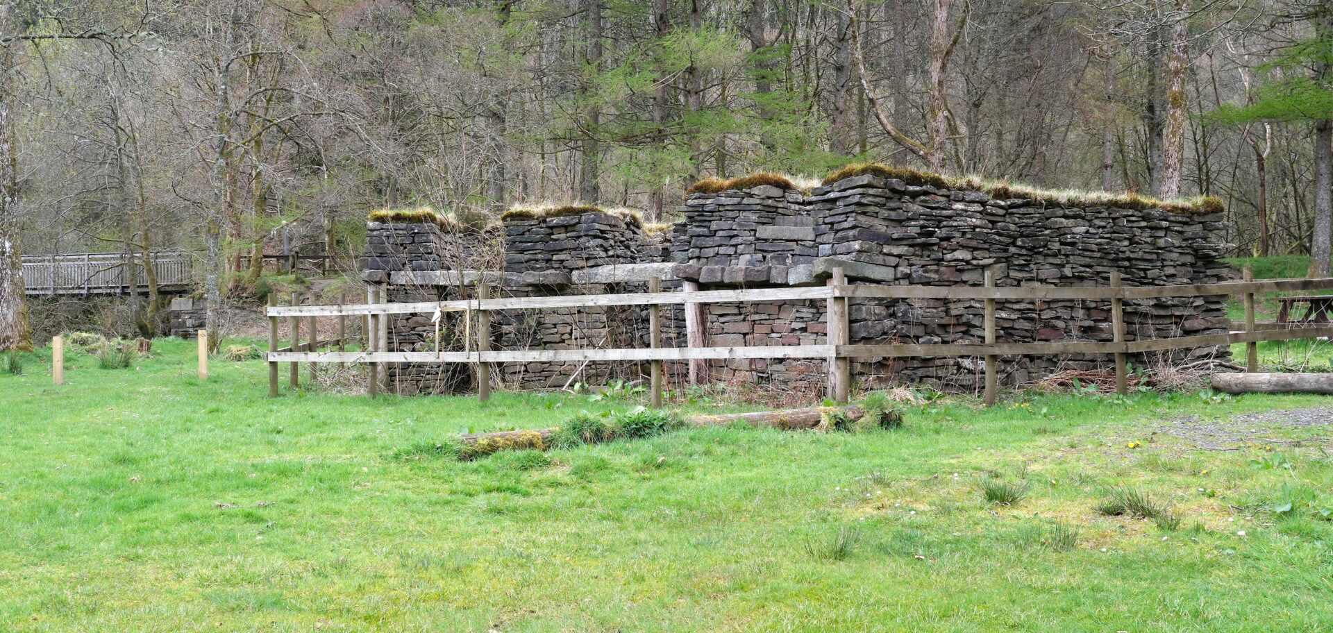
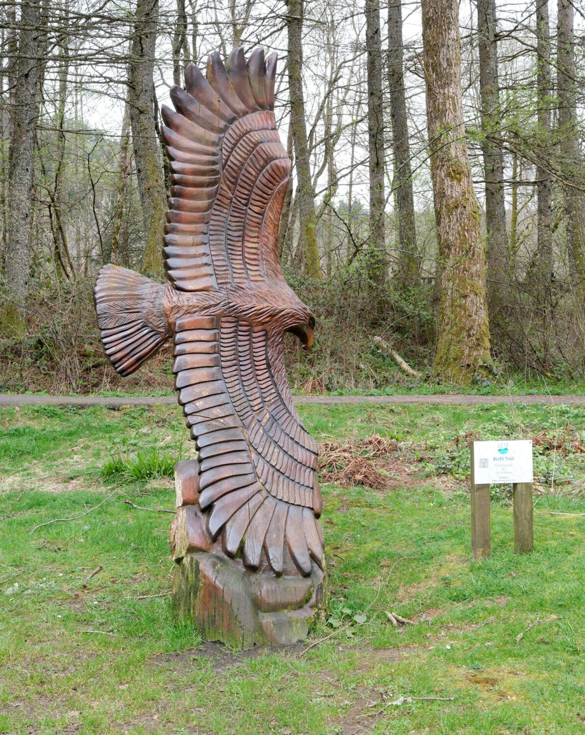
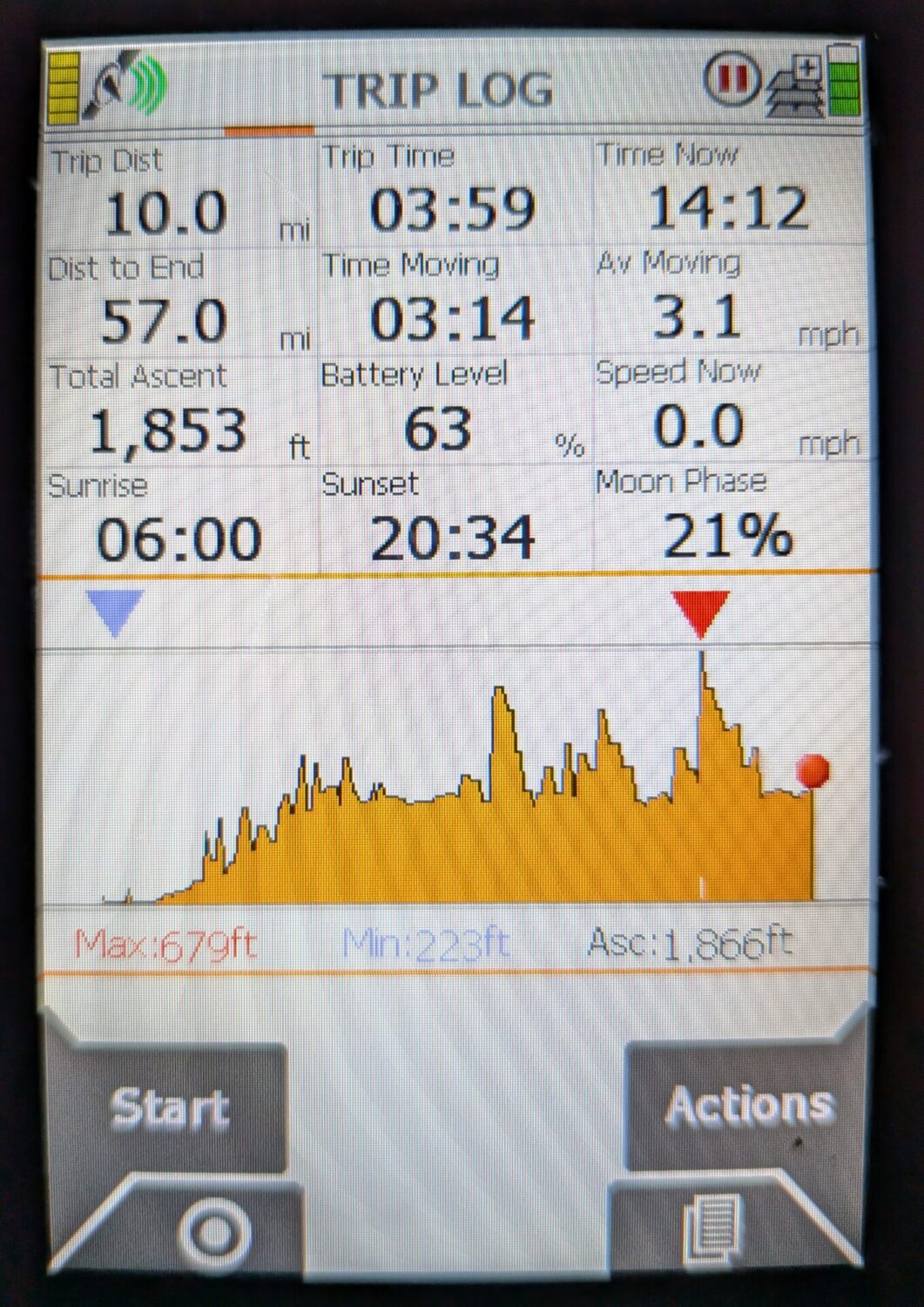
Unfortunately, all three of the hostelries in Strathyre were closed so I walked back along the road. I soon spotted Jan pulling into the car park of the White Stag Inn, our agreed meeting point but it didn’t open until 4pm and it was only 1.30pm.
For the second day running it was exactly 10 miles, in 3 hours 50 minutes.
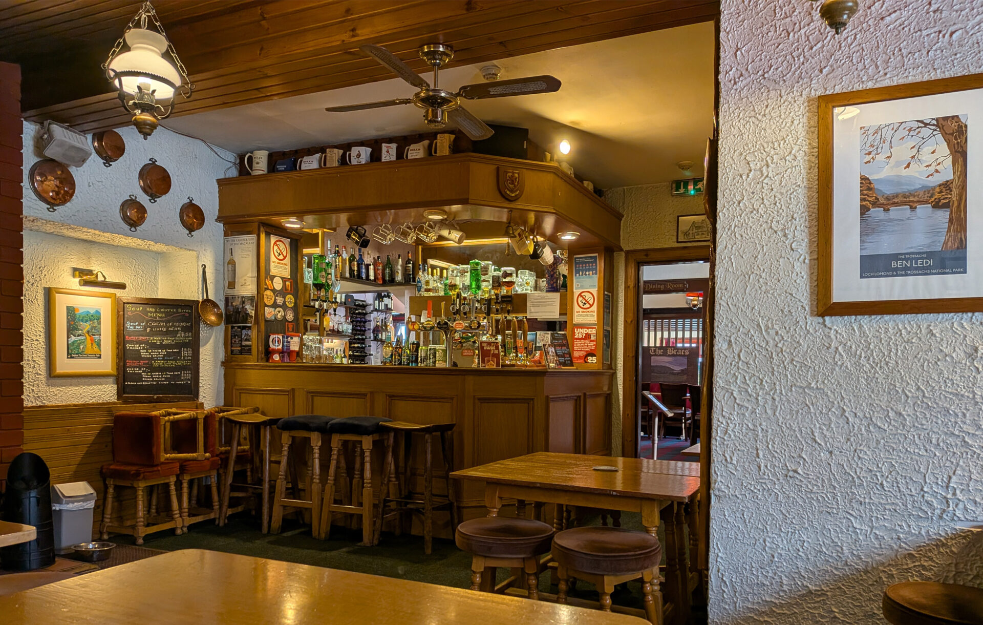
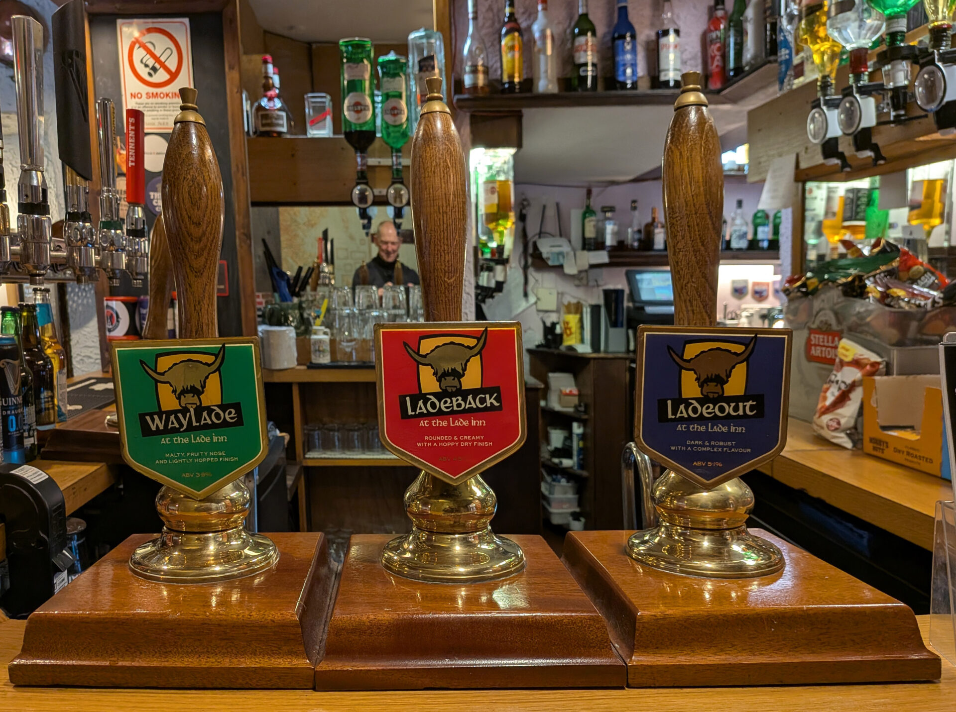
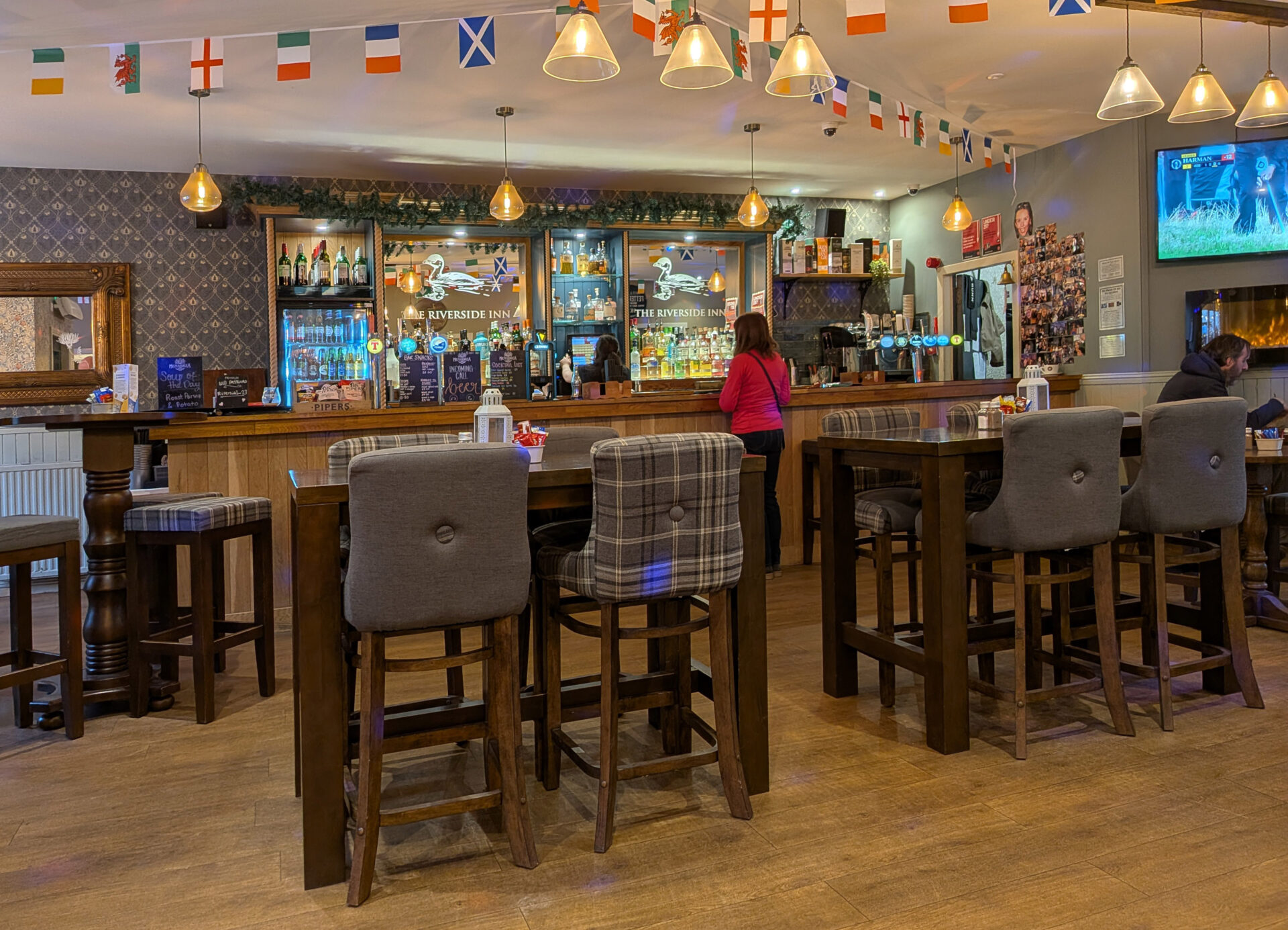
Just as we left Strathyre in the car heavy rain started so I was picked up just in time! Jan took us to the Lade Inn for a lunchtime break, it was on the way back to Callander. The bar was empty but they had 3 real ales on so I had a couple of pints of Ladeout dark ale before we headed back to our room at the Waverley in Callander. In the evening we went to the Riverside Inn for a meal.
Day 4 Strathyre to Killin 14.2 miles
It was 10°C and sunny to start with, then dull for quite a spell before brightening up in the afternoon and becoming warmer at 14°C for the section from above Lochearnhead to Killin.
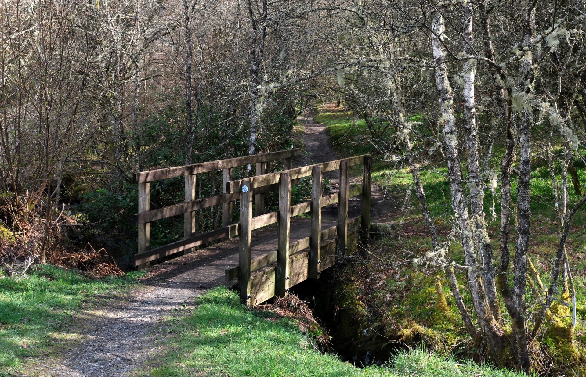
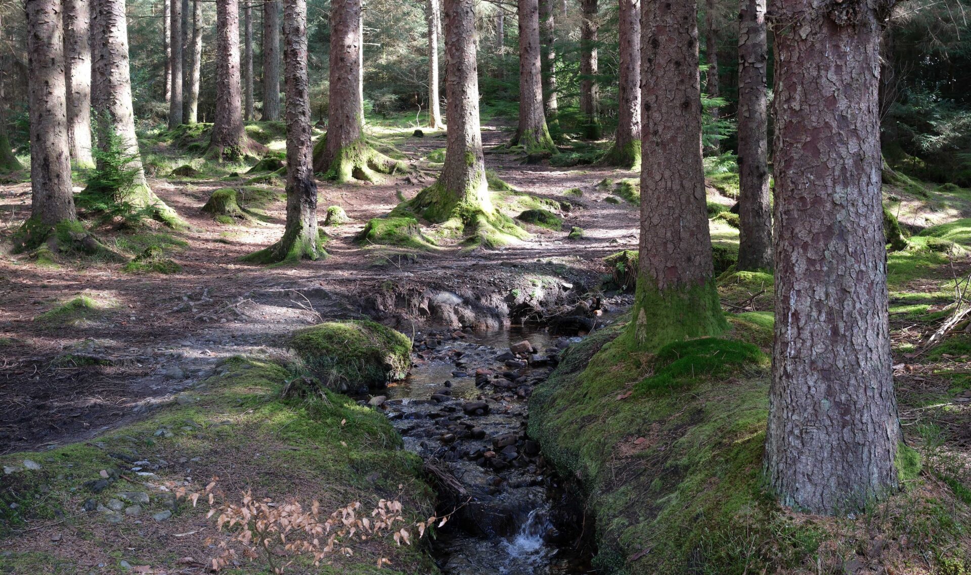
Jan drove us back to the Strathyre car park from where we started at 10am. After heading along the main street for a couple of hundred metres the way turned uphill at the Munro Inn into the forest just on the east side above Strathyre village. There was lovely dappled light through the trees as we walked on.
Jan turned back after 3 miles at 11.05am, just before some forestry workings with some big machines.

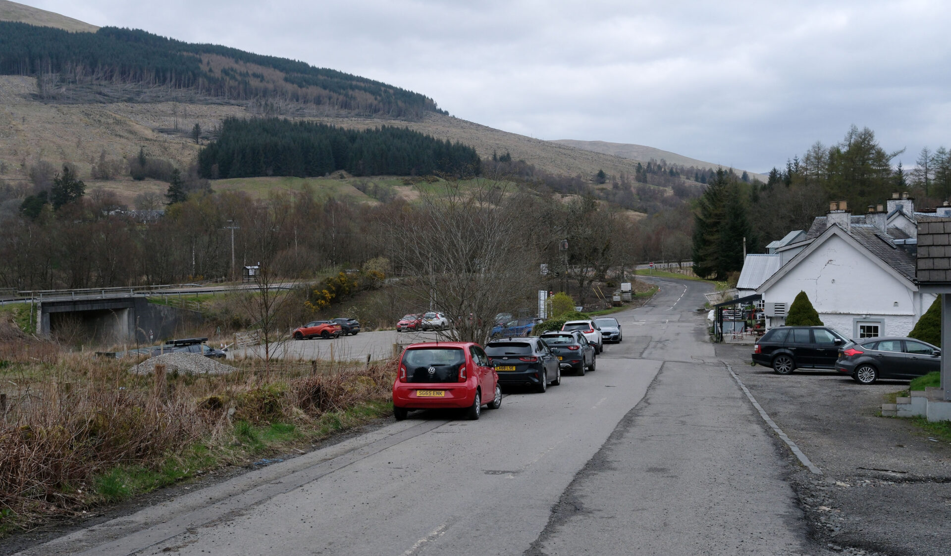
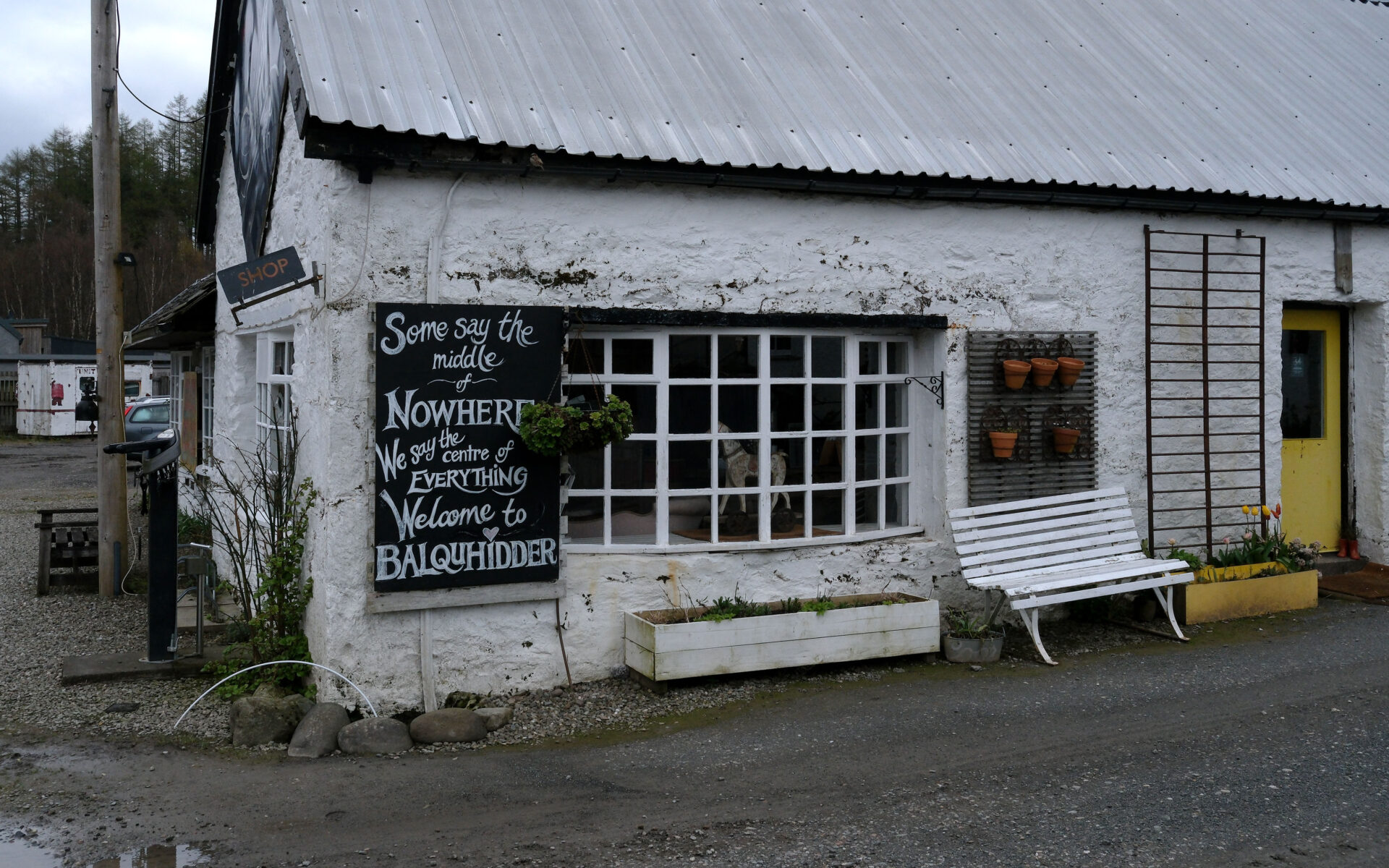
I passed the Kingshouse Mhor 84 motel in Balquidder at 11.25am (this used to be on the main road and is about 2 miles from Balquidder village). From here I walked under the A84 to join the cycle track and footpath on the old railway line towards Killin.
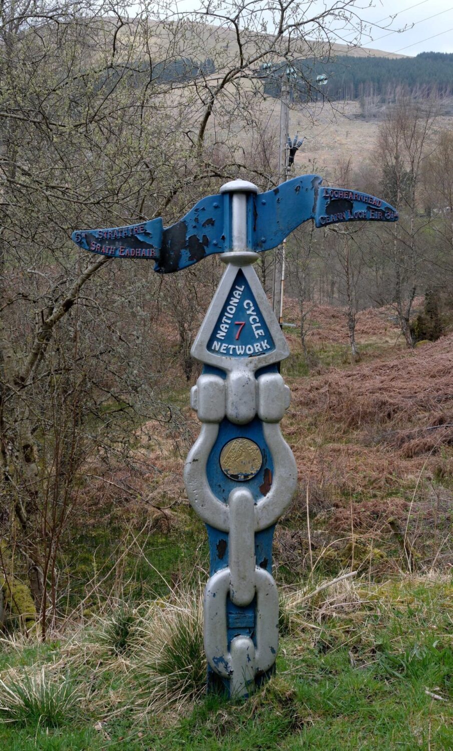
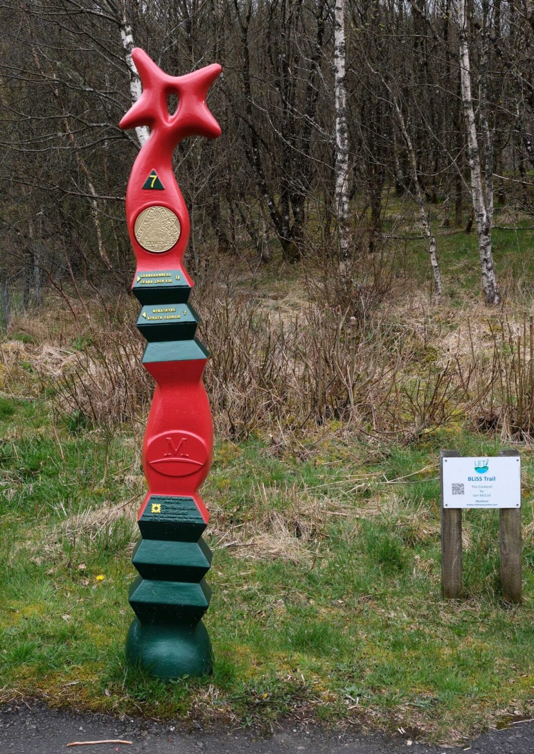
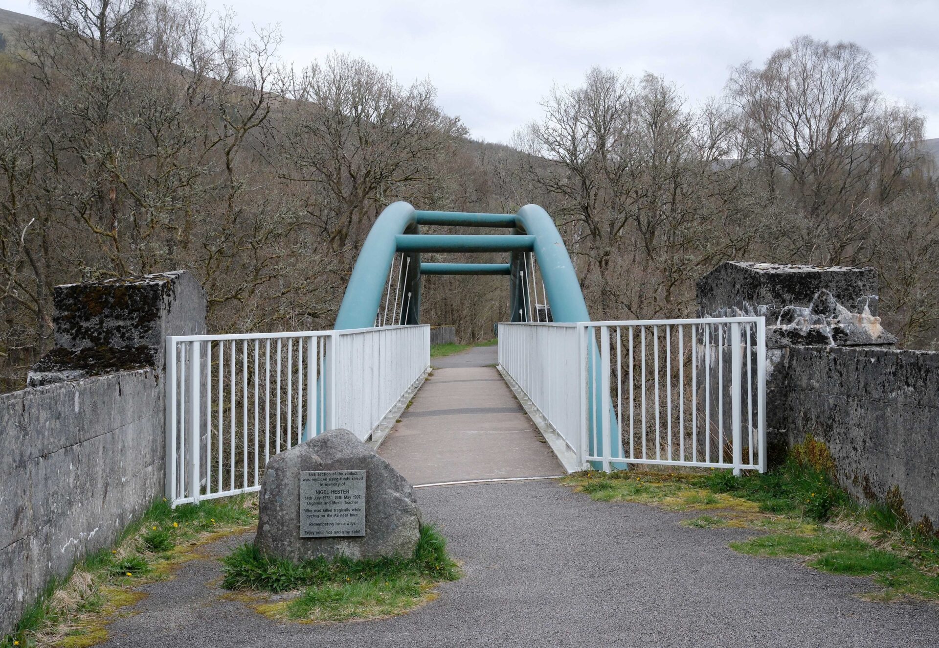
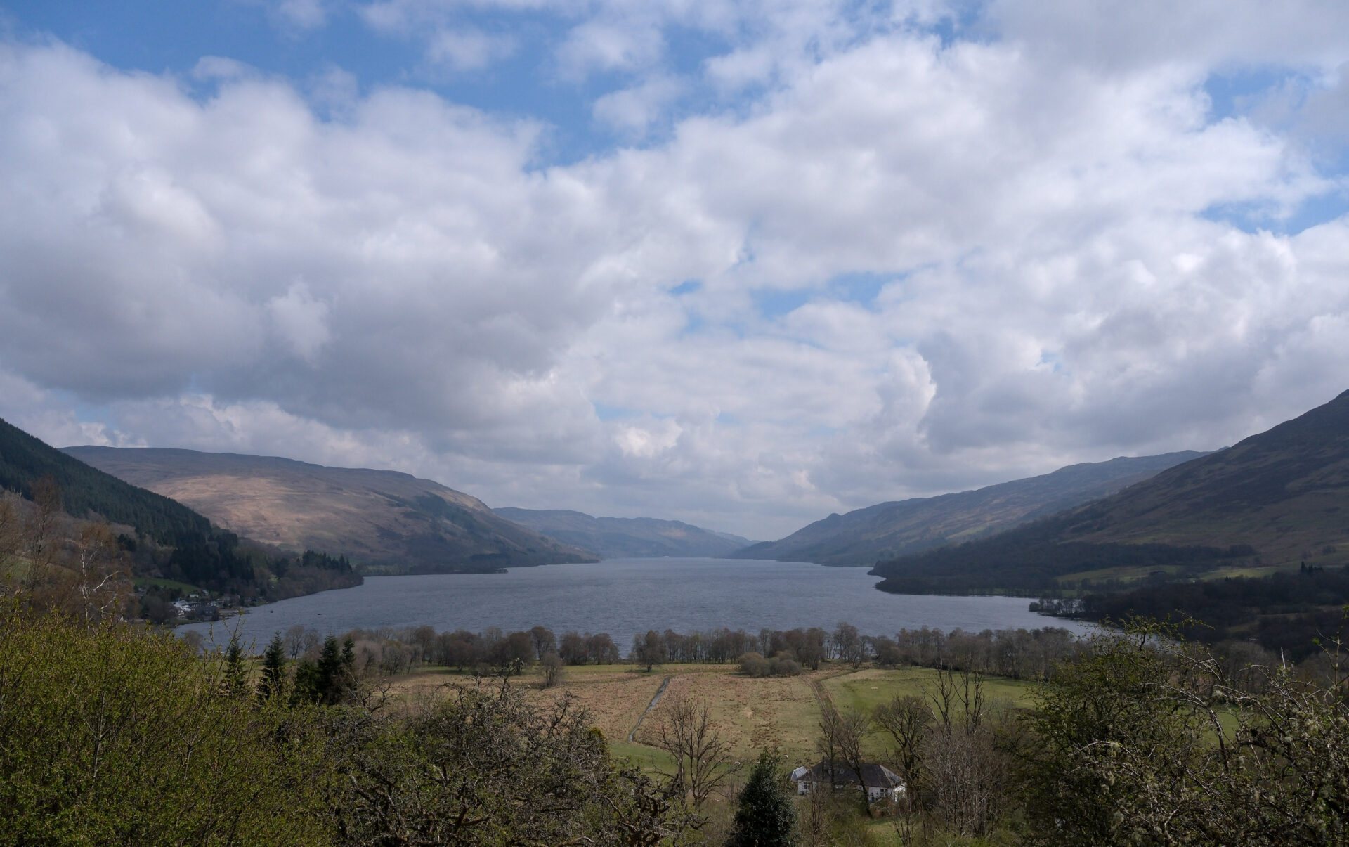
I stopped for a brief snack near this view. The seat provided wasn’t very comfortable, it was more of a perch than a seat! Obviously designed to keep walkers moving. I was a bit over 7 miles from Killin.
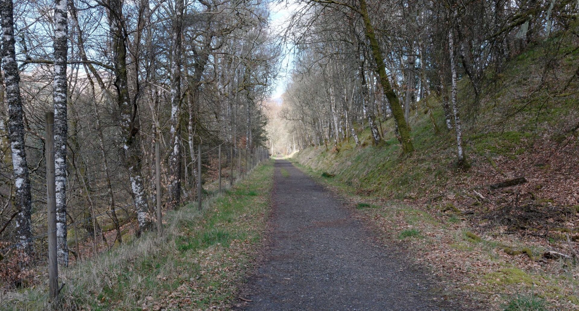
At 1.05pm a Red Squirrel ran across the track in front of me, the first of this trip. Always good to see. I had a view across to the A85 road from Lochearnhead to Killin on the side of the valley opposite all the way to the top of the pass.
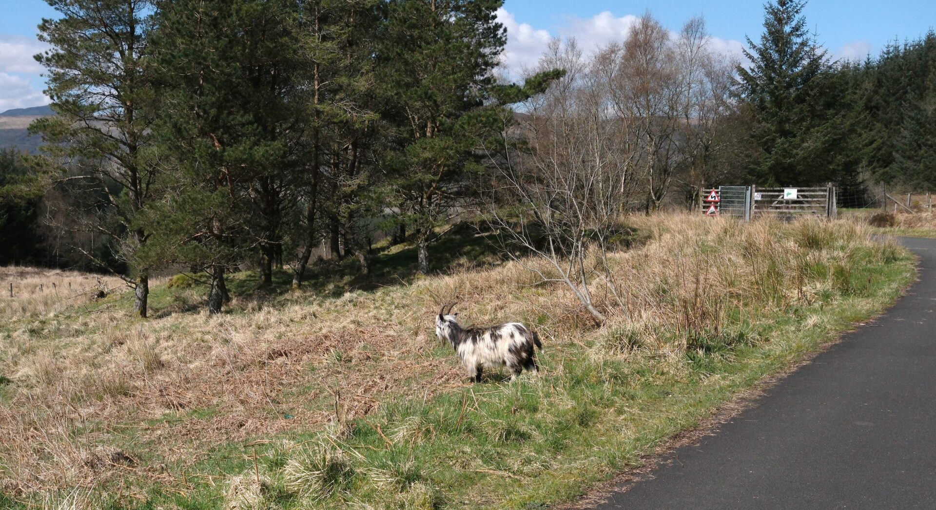
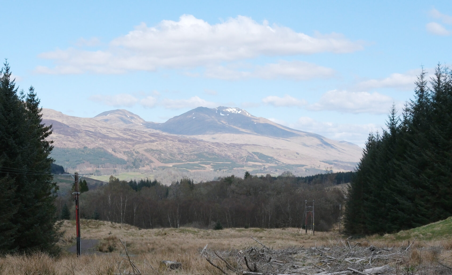
There was a herd of goats running around at the top of the pass near the picnic area beside the car park. From there it was a good track down to the forested hillside above Killin. It was a jumble of felled trees but there was a good view through to the Ben Lawers range of mountains.
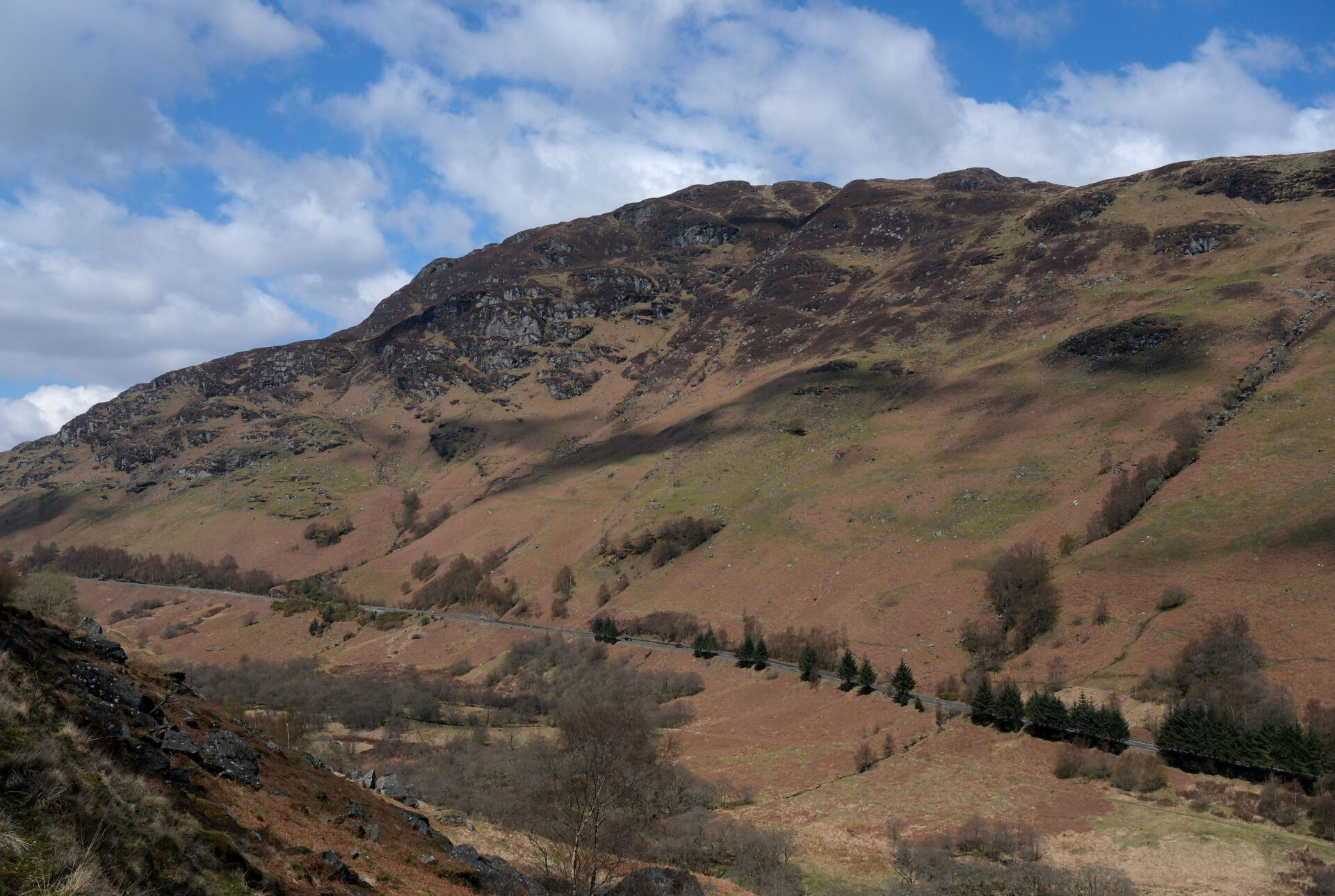
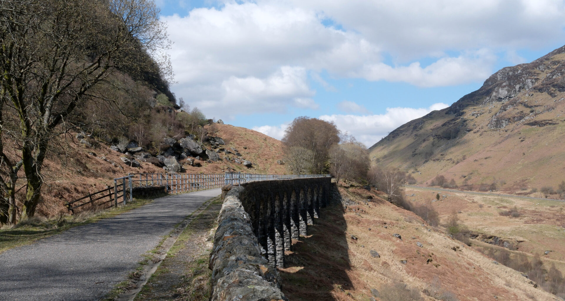
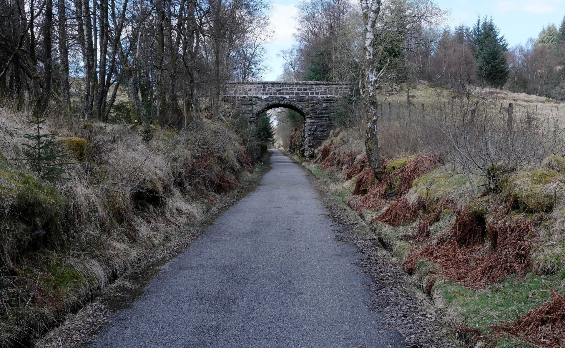
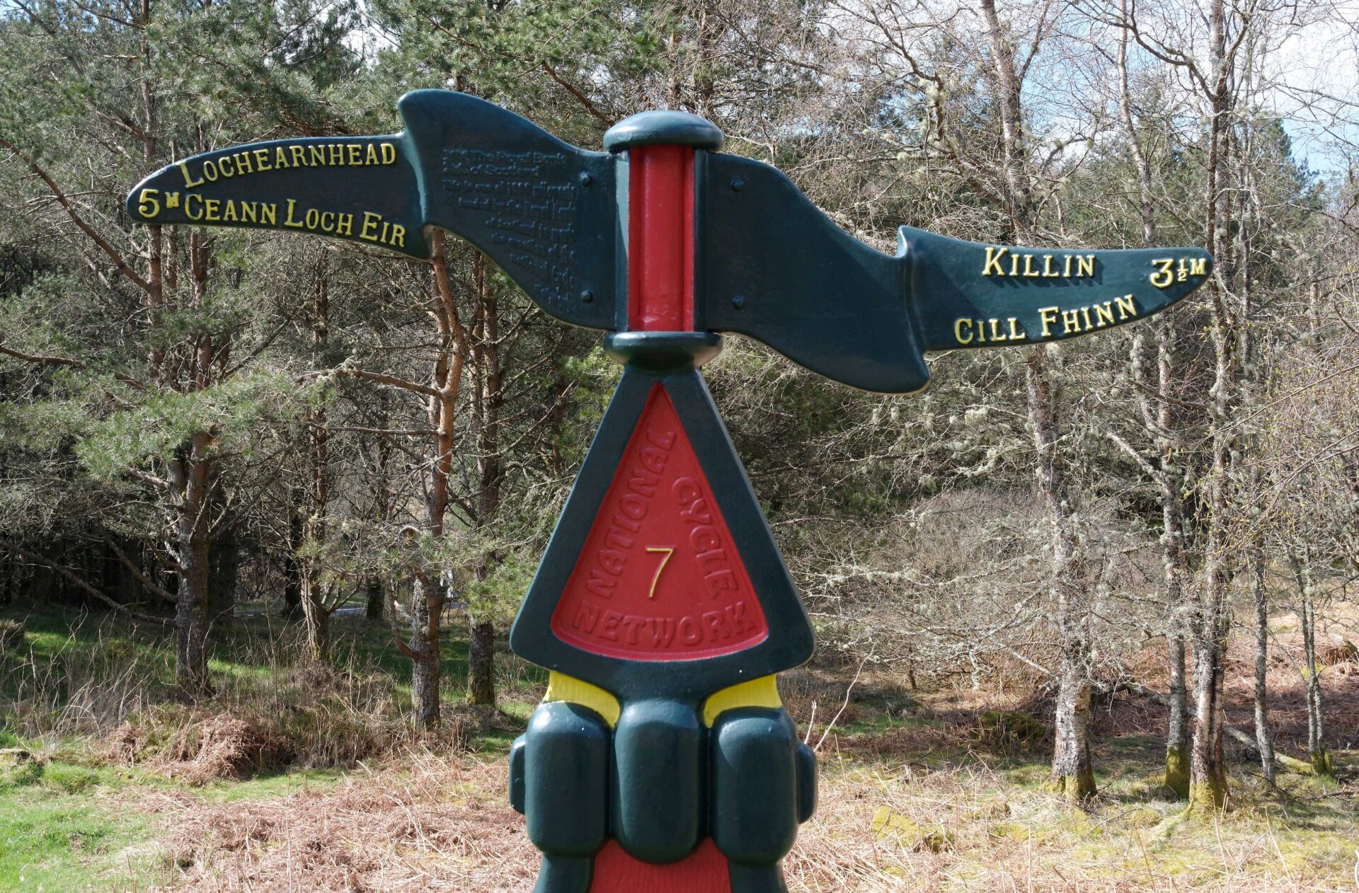
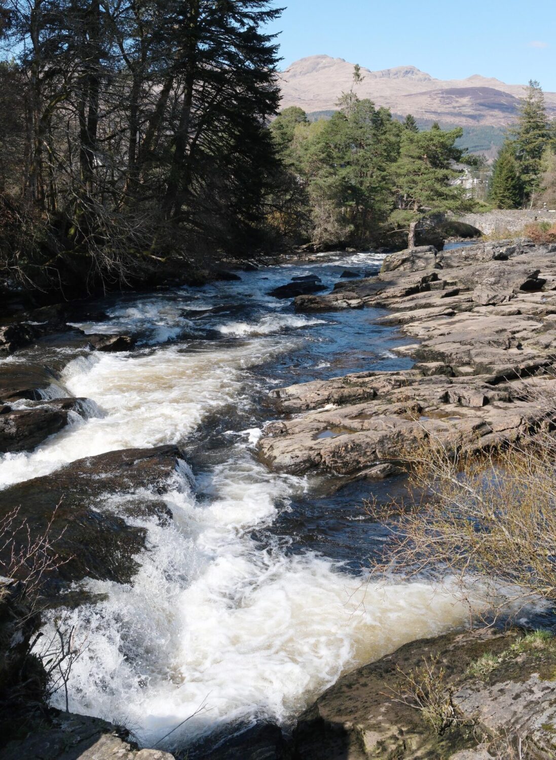
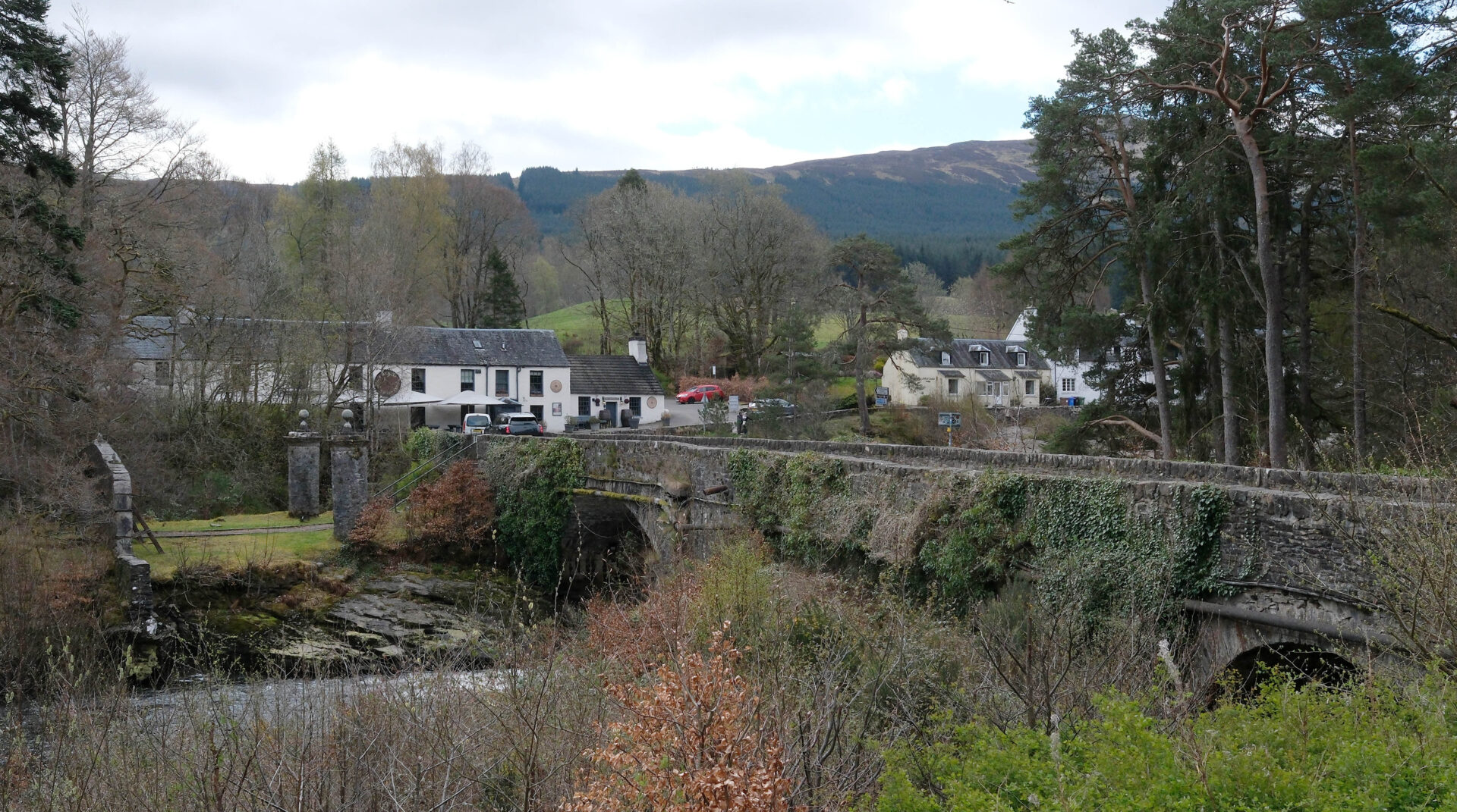
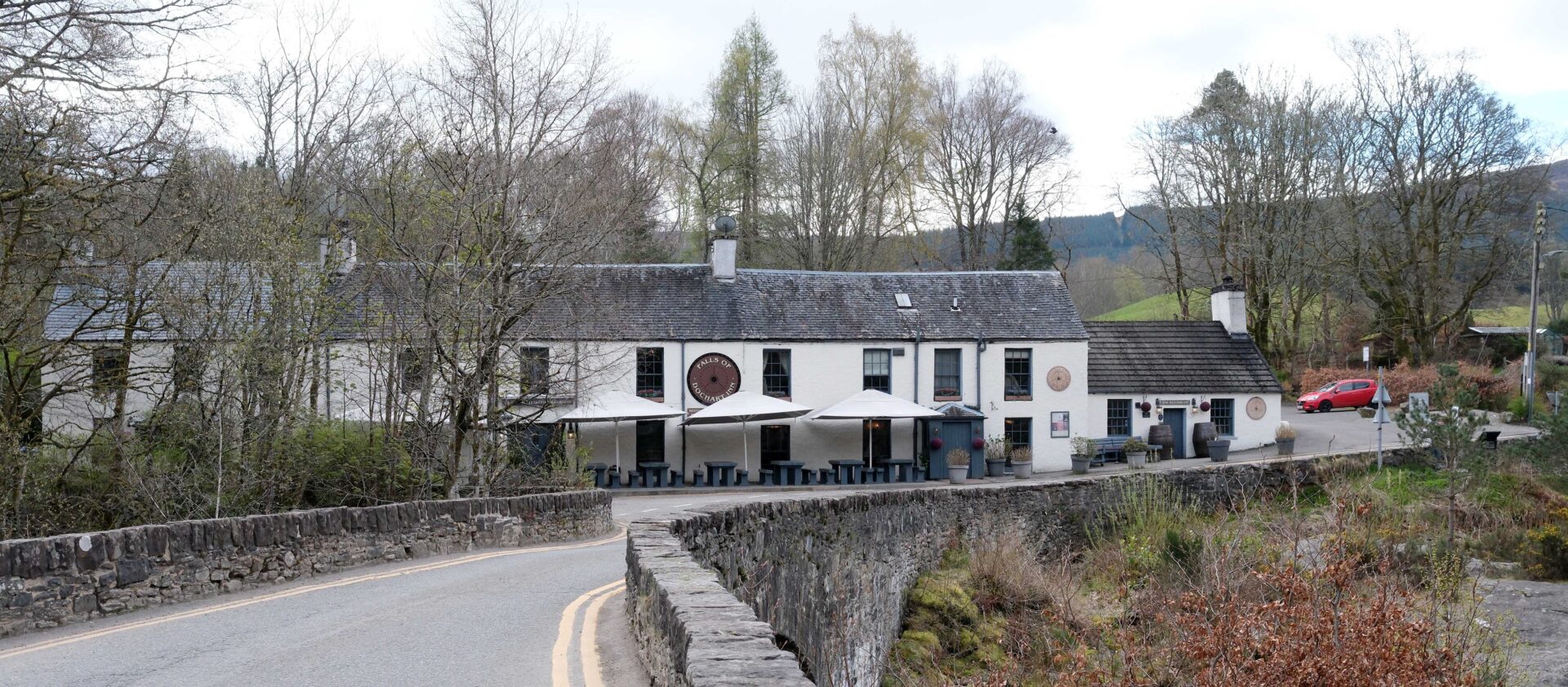
Jan walked to meet me on the edge of Killin and we walked to the Falls of Dochart pub together. I thought I’d earned a pint or two sitting in the sunshine outside!
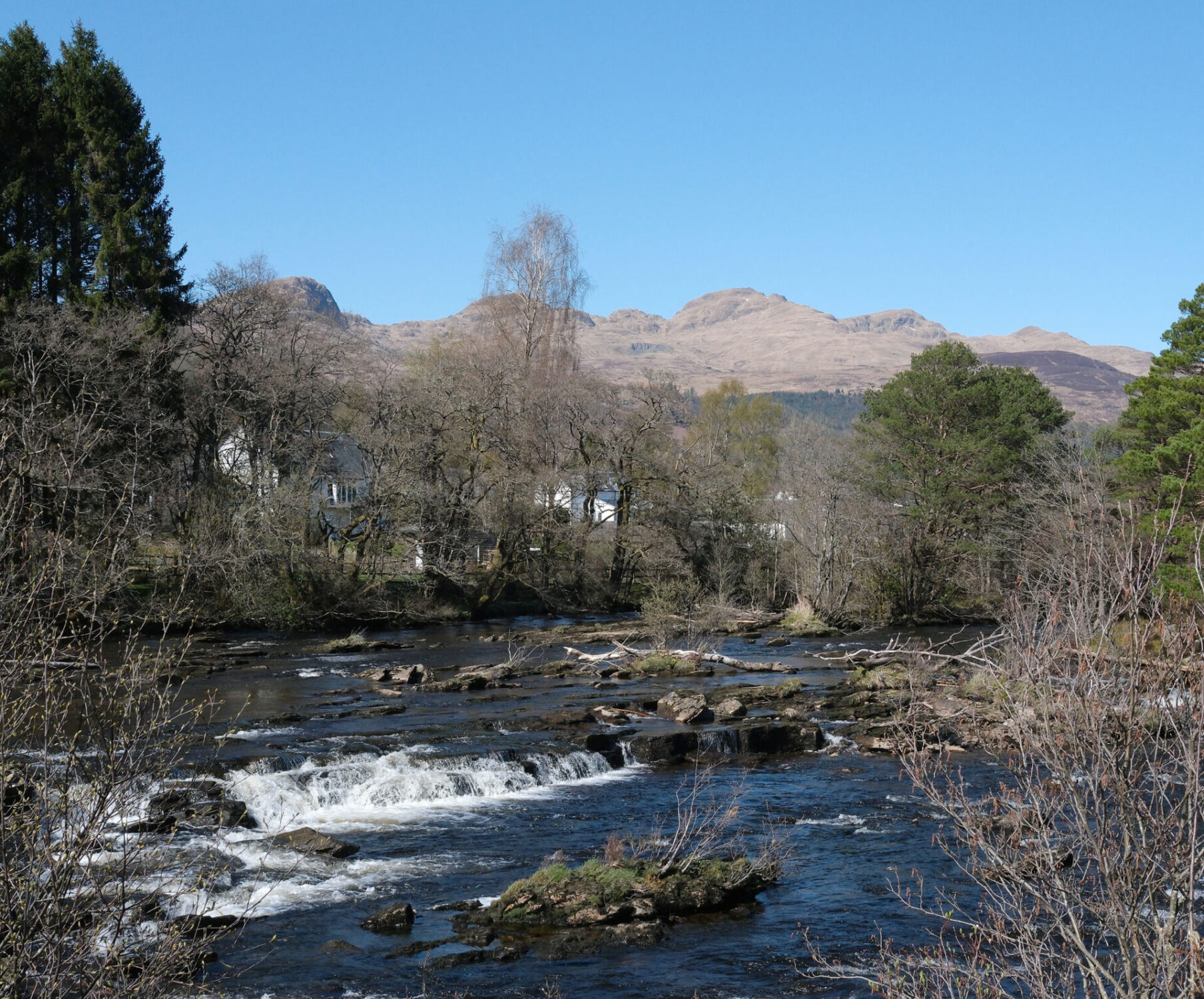
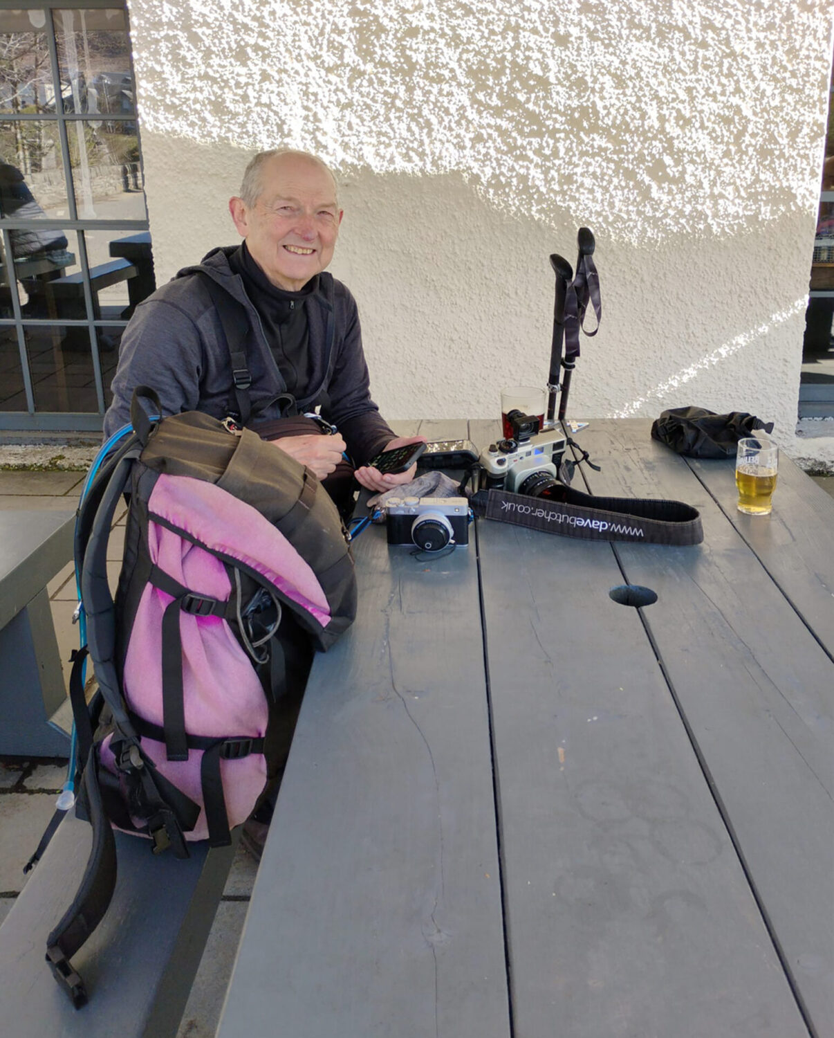
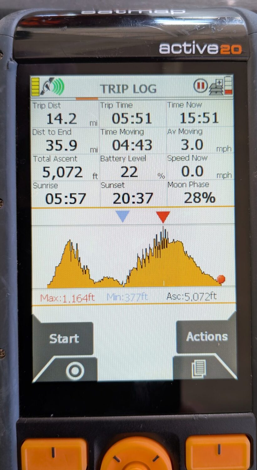
Overall, it was 14.2 miles and it took me 5 hours 35 minutes including a short break or two.
During the day I didn’t see hardly anyone who was obviously walking the RRW. There were a few dog walkers near villages and a couple of cyclists but that was it. A little bit away from civilisation I didn’t see anyone at all.
We stayed in the Craigbuie Guest House at the far end of Killin and were very well looked after.
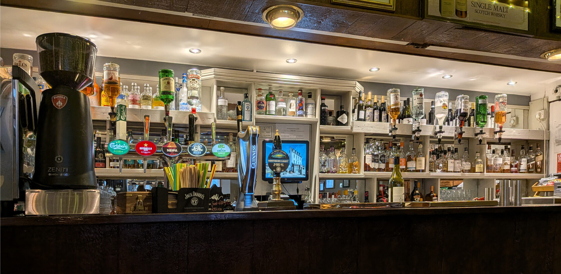
Our evening meal was in the Killin Hotel bar next door to the guest house. The food and beer was excellent.
Day 5 Killin to Ardtalnaig 12.8 miles
We had an 8am breakfast at Craigbuie Guest House in Killin. The full cooked breakfast was excellent, as was our room – probably the best one that we stayed in on the whole route.
After a leisurely time packing our things we started walking at 9.50am from the car park just before the bridge. It was dull and a bit chilly but warmed up later with sunshine to reach 15°C.
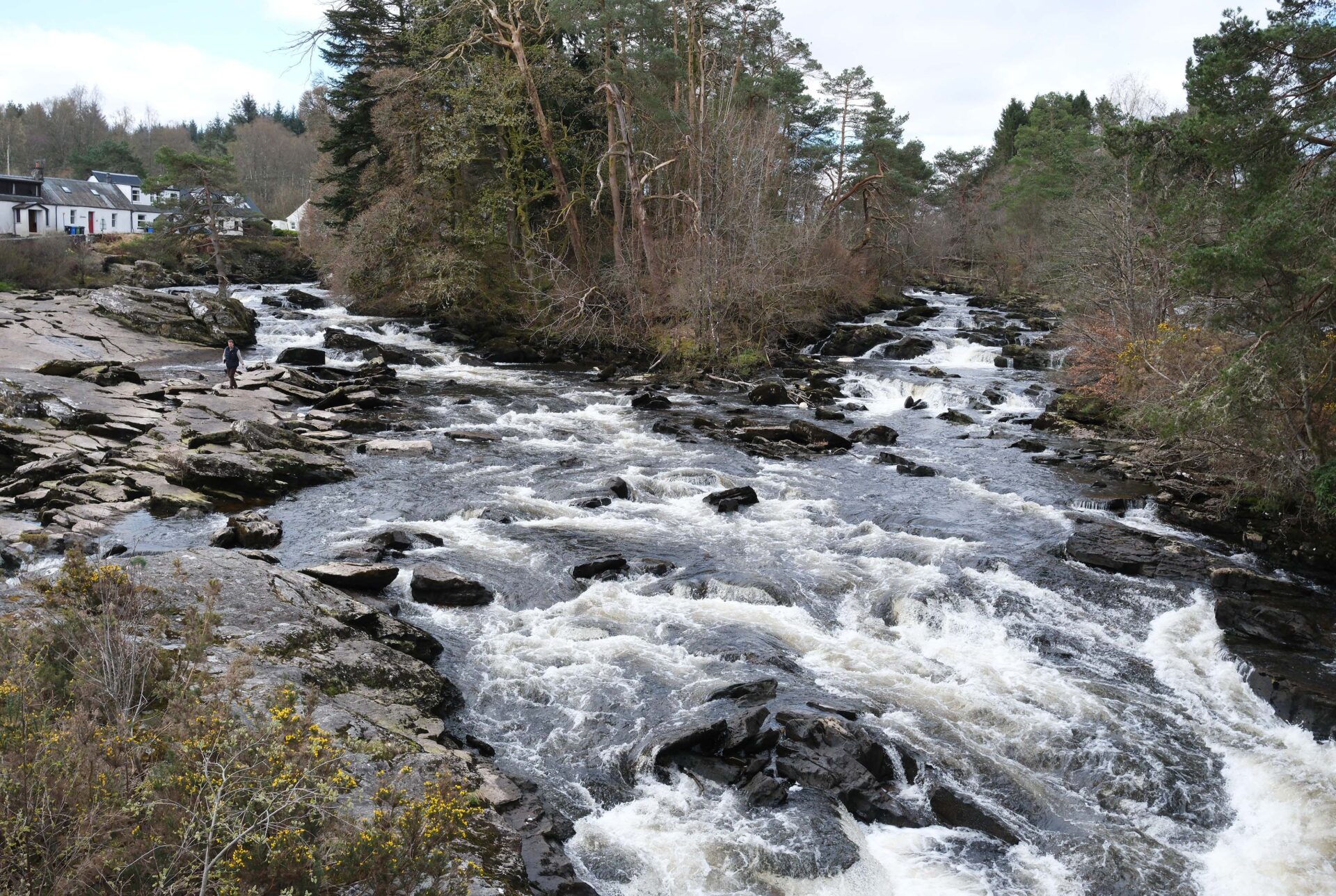
The lighting was better for photographing the falls as the sunlit water of yesterday was really difficult to hold detail in the whites. It was a bit too dull though for more striking photos but I have a lot of photos of the falls taken when we were walking the Munro’s, using Killin as our base.
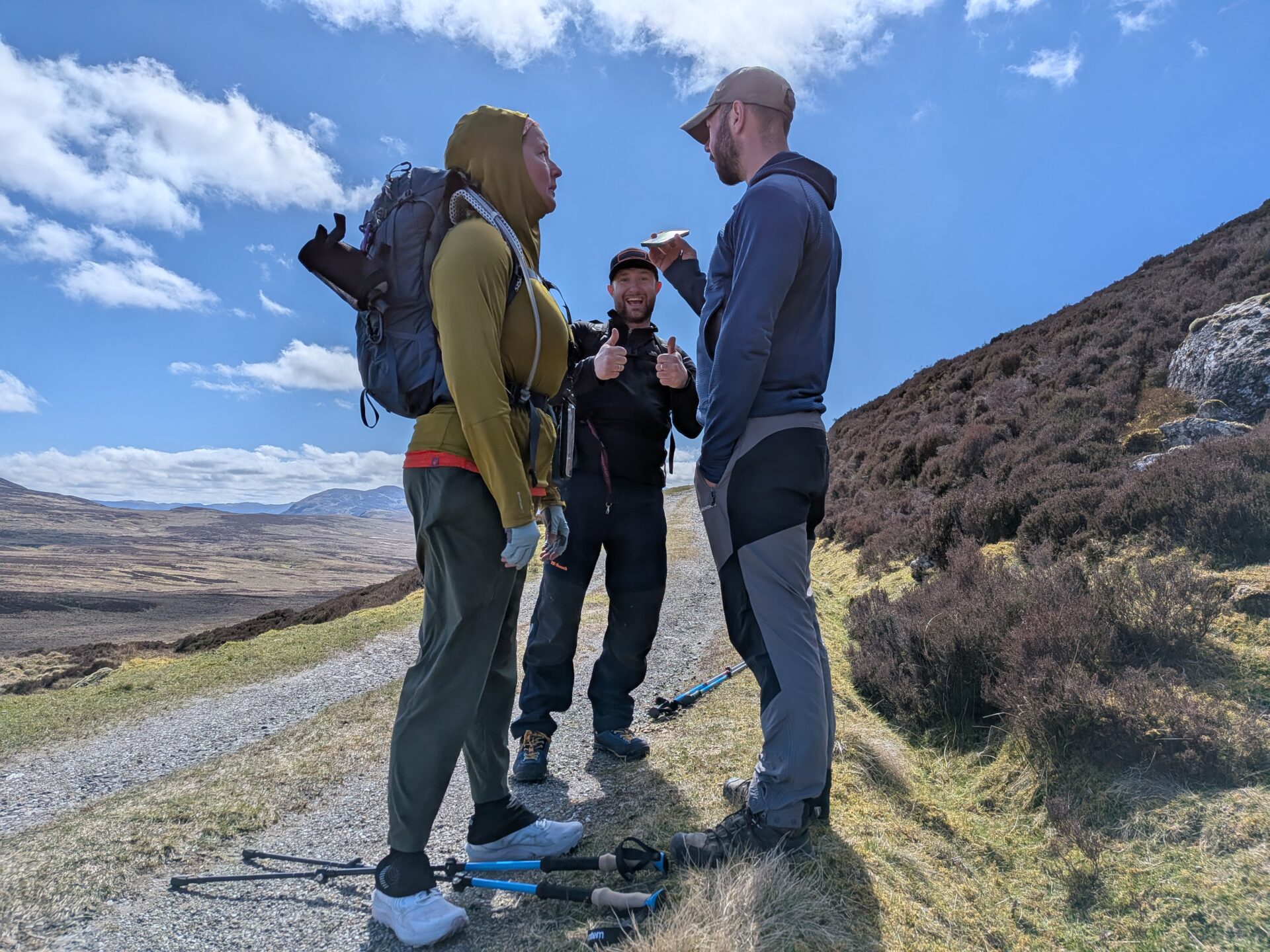
At about 11.15am we caught up with Lauren and she had met Steve, who worked as a welder on North Sea oil rigs, and Jordan, who was working, while training to be Captain, on a North Sea fishing trawler. The 5 of us walked together as far as the dam of Lochan Breaclaich where Jan turned back just on 12pm.
The 4 of us settled down to a short break sitting against the dam wall with particularly good views to the northwest.
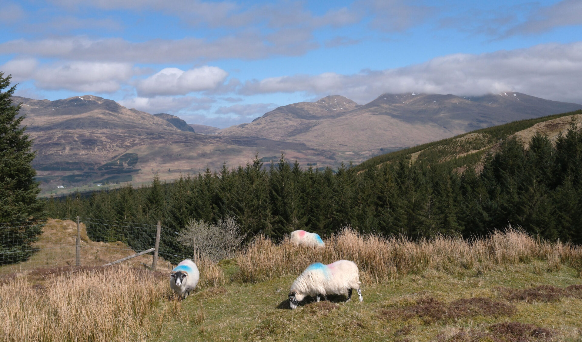
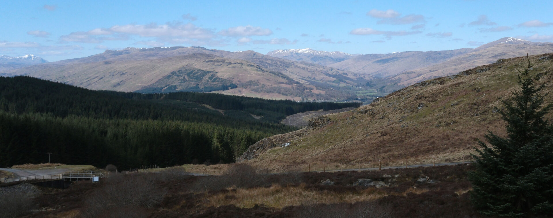
There was a good view to Stob Binnein and Ben More near Crianlarich from the track just above the dam. Between them is a big dip that acts like a wind tunnel at times, one time when Jan and I came down from Ben More to that col the wind was so strong that we had to turn our heads to one side to take a breath as it seemed impossible to take a breath heading directly into the wind. Walking into the wind was also extremely difficult so we turned around and dropped down into Benmore Glen where it was relatively calm. Based on wind speed measurements I’ve taken since I believe the wind speed was in the region of 80+ mph. Fortunately, today was a calm day with just a light cold breeze!
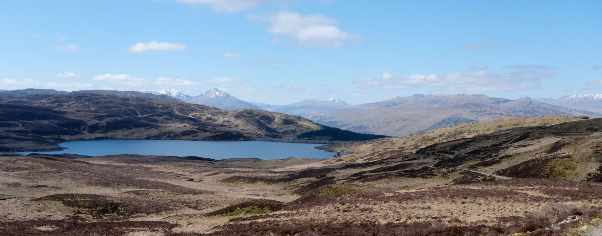
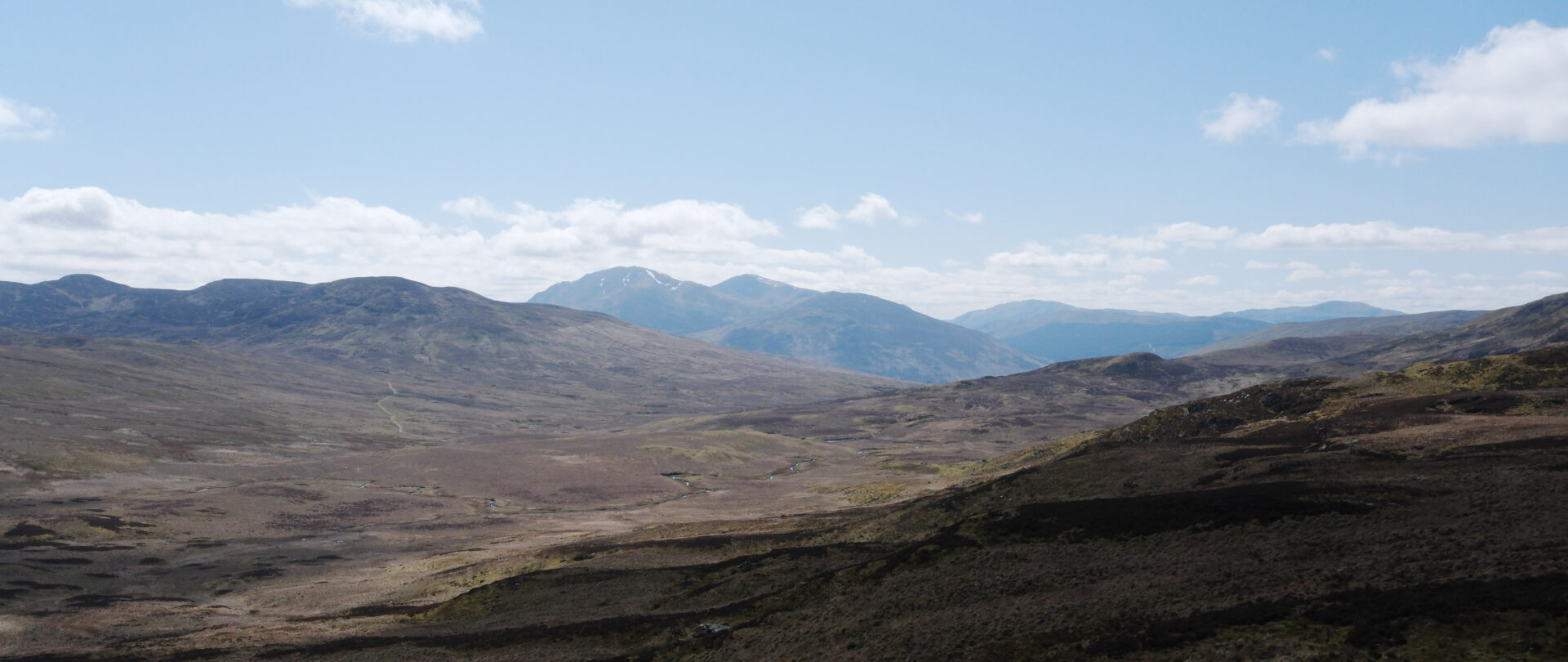
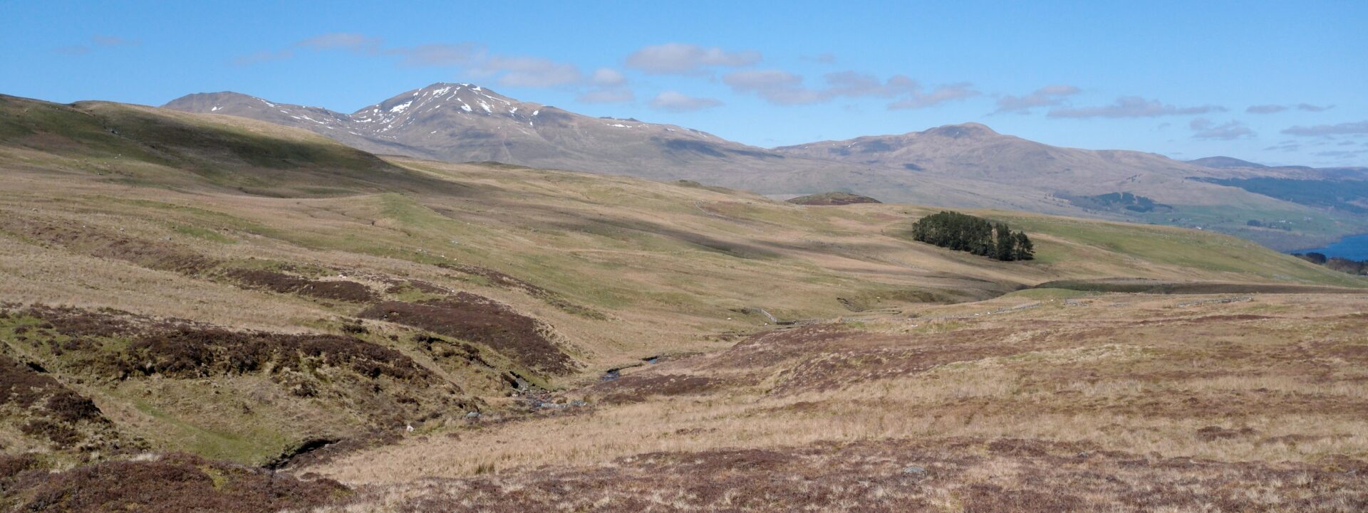
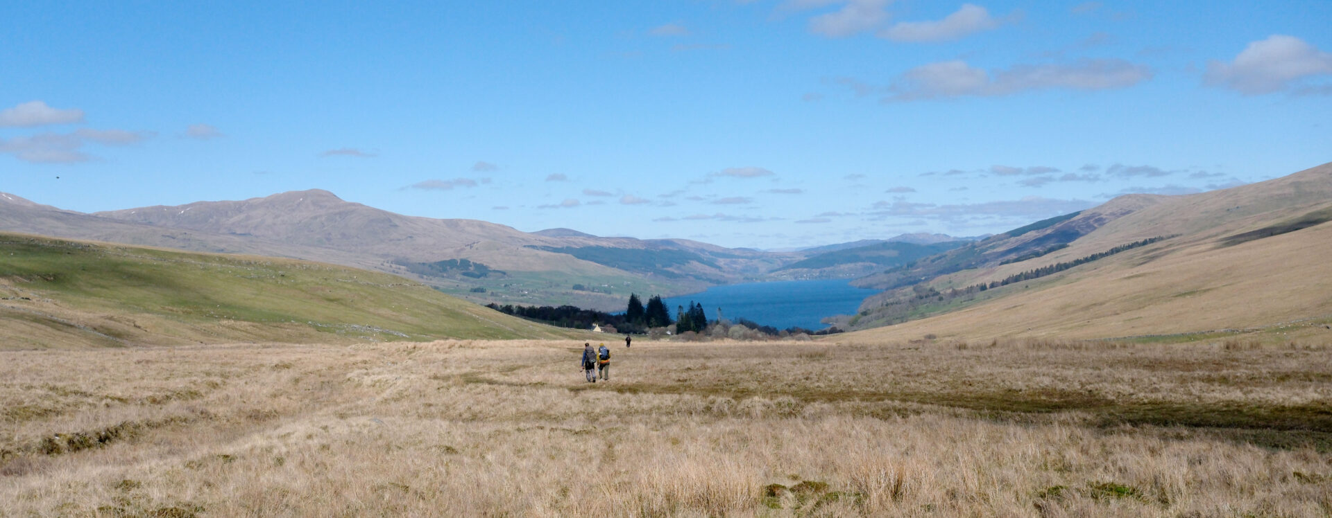
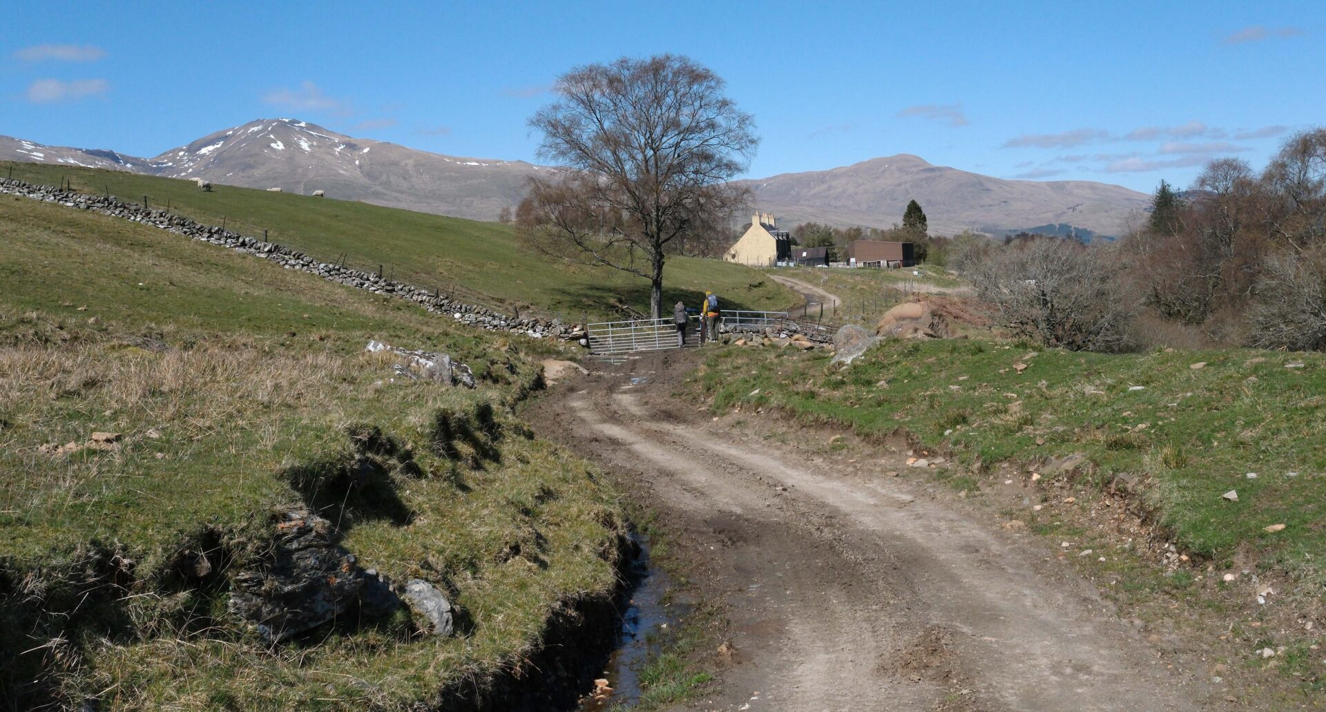
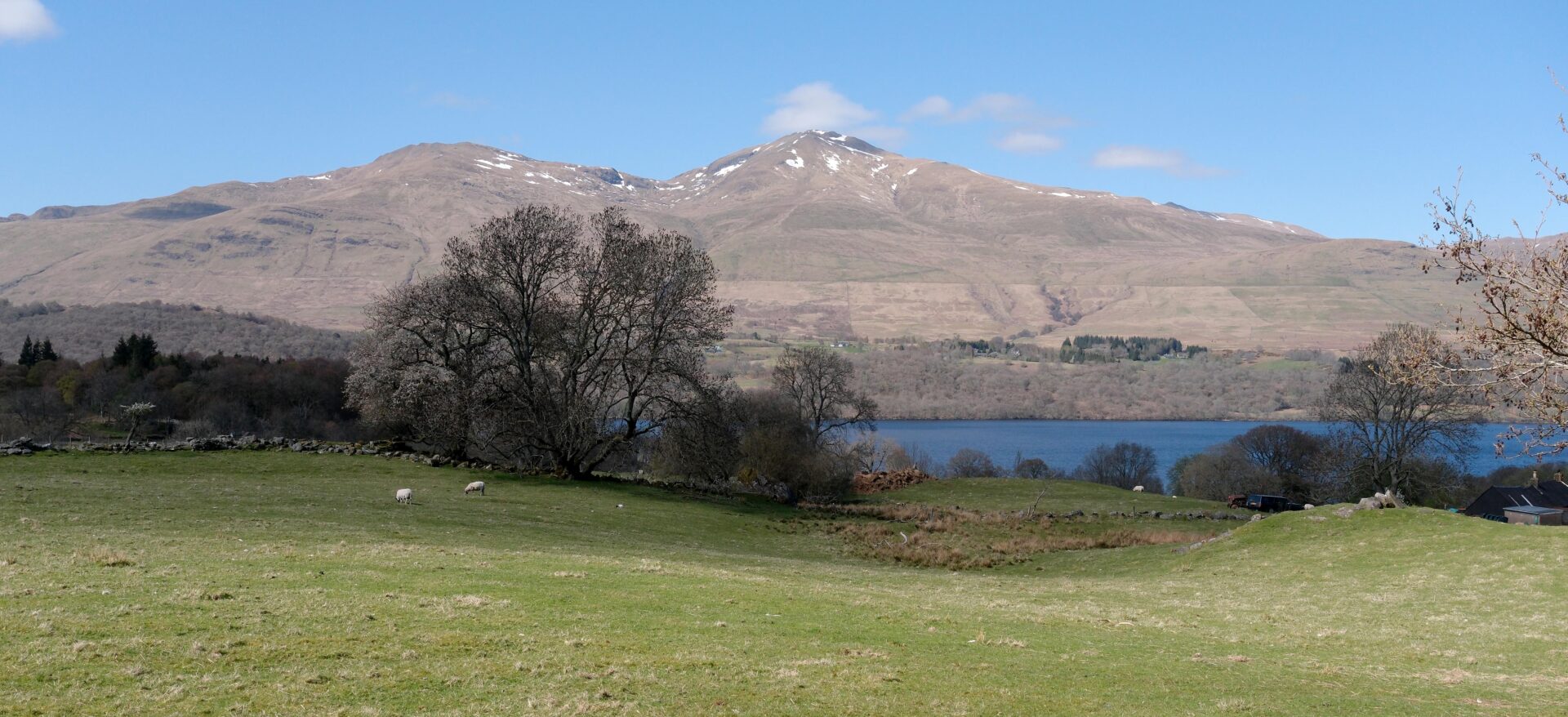
At 3pm we came down to the Ardeonaig Hotel and headed for the bar. Jordan insisted on buying a round for us all so we didn’t argue with him! This was the end of the day for the 3 of them as Lauren had booked a taxi to take her back to Killin and Steve and Jordan were booked into the Ardeonaig Hotel.
The afternoon was quite warm in the sunshine with lots of blue sky for the photos. I left them all at 3.36pm and headed along the road to my pickup point.
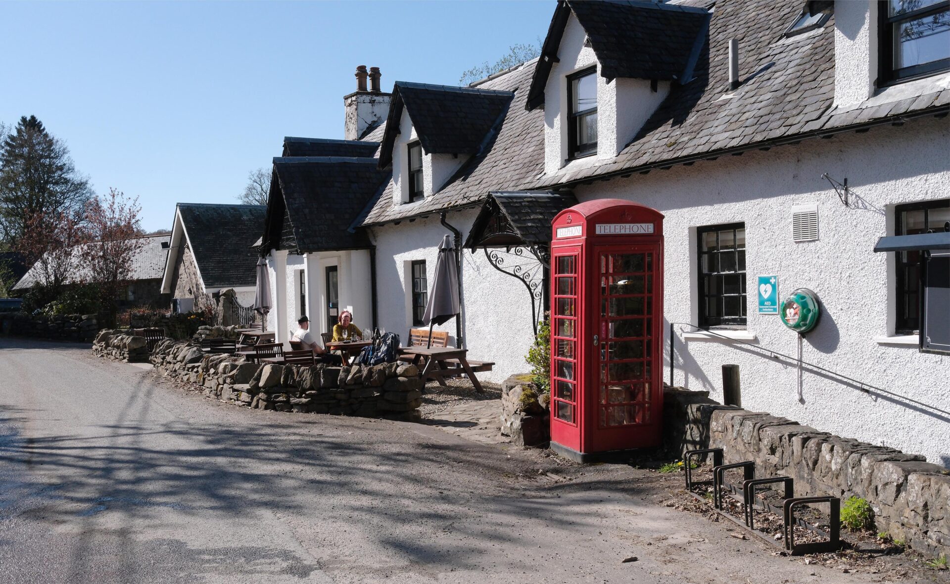
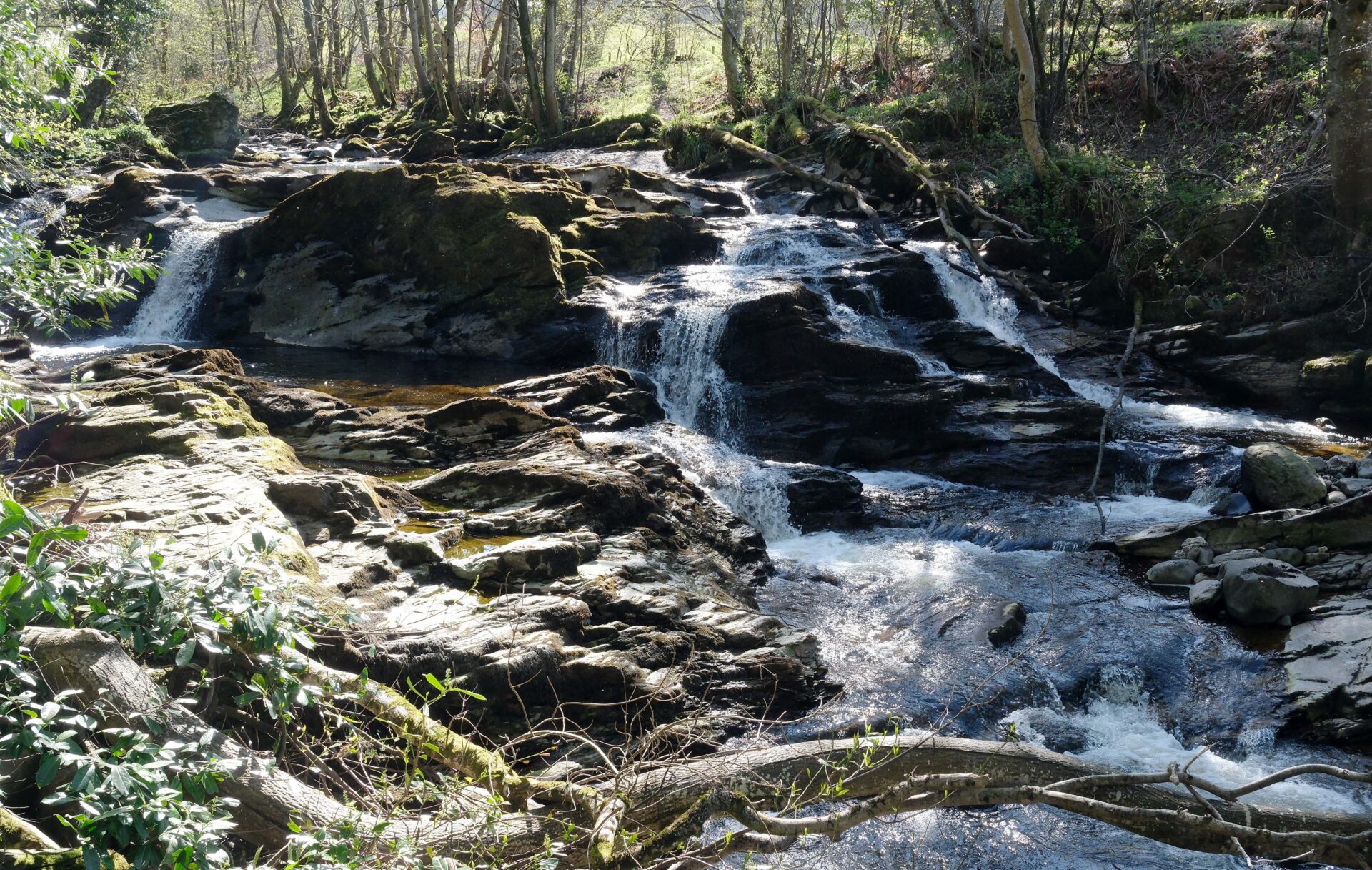
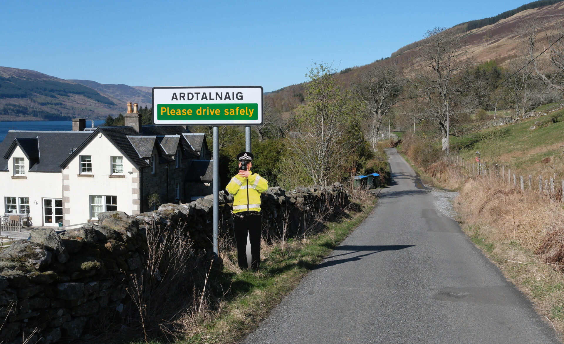
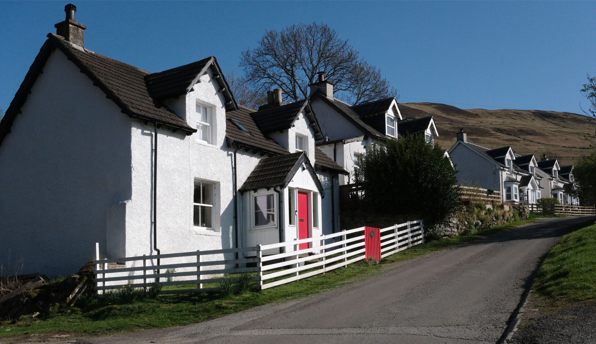
It was a bit of a slog of 3 miles or so along the tarmac road to Ardtalnaig but Jan was walking towards me and we met at 4.35pm making it back to the car at 4.52pm. I much prefer to be walking on hill paths through and over the mountains than on hard tracks and roads.
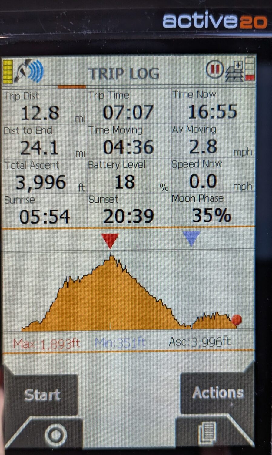
Killin to Ardtalnaig was 12.8 miles and took just over 7 hours including breaks.
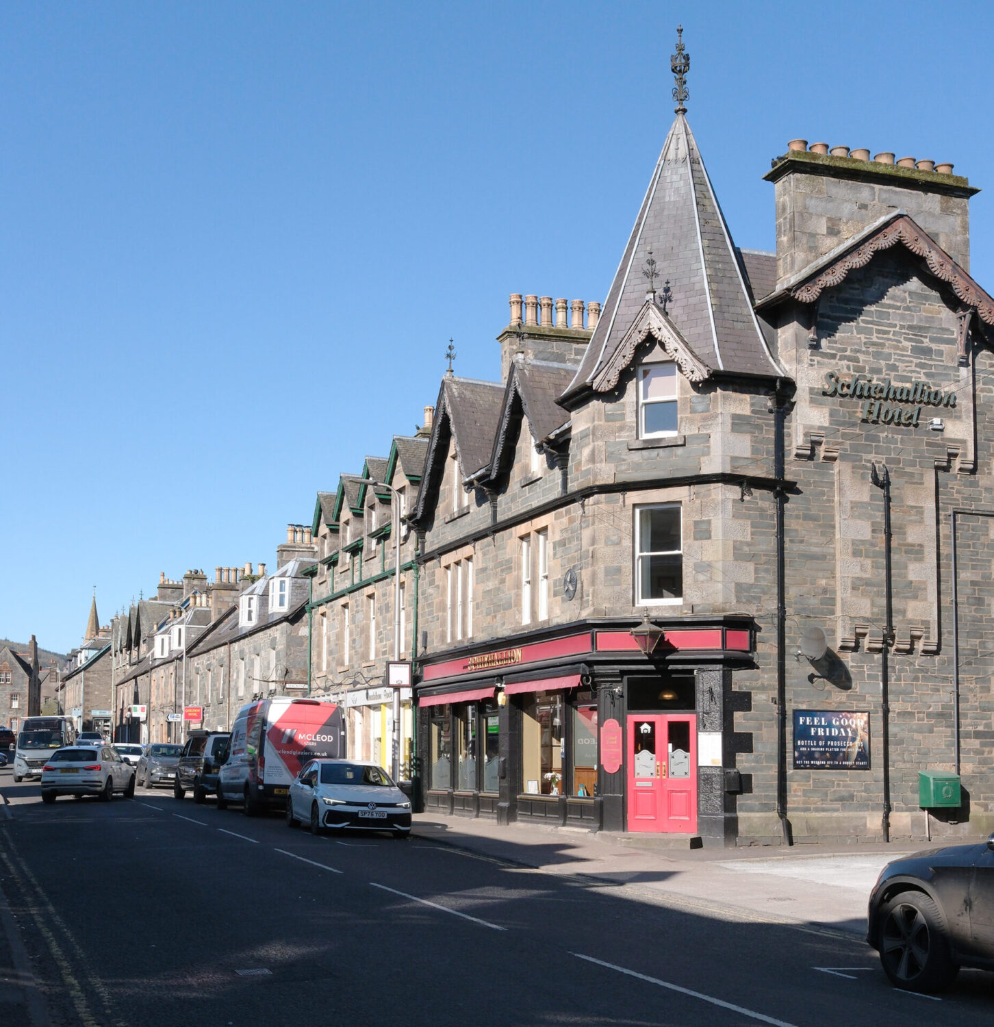
Jan drove us to the Schiehallion Hotel in Aberfeldy, our base for last 3 nights of our trip. We had a really spacious, very comfortable en-suite room. It was a good base for us with good beer and food.
Day 6 Ardtalnaig to Aberfeldy 15.8 miles
We had a good cooked breakfast at 7.45am, packed up our gear for the day and headed off back to Ardtalnaig. Jan parked the car in the same place near some cottages and we were walking at 9.36am. It was a chilly blue sky day but it warmed up to 15°C later. It was another 5 miles along the road until I could leave the tarmac behind at Acharn.
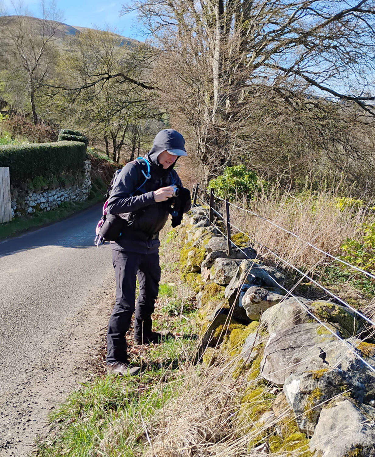
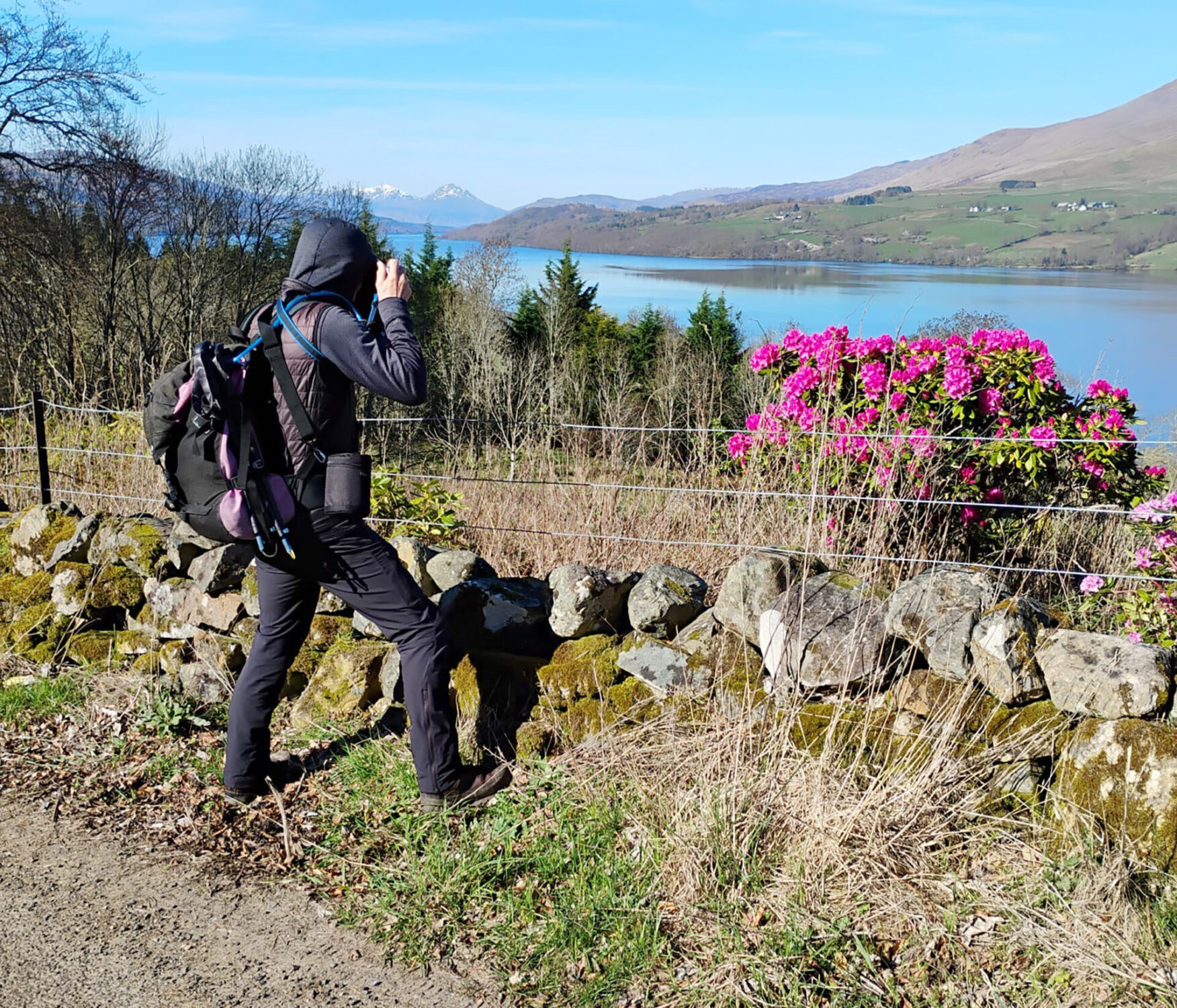
Jan turned back after about 1.5 miles as walking along roads is never that inspiring. However, she did take a couple of pictures of me in action taking photos of the Ben Lawers range opposite.
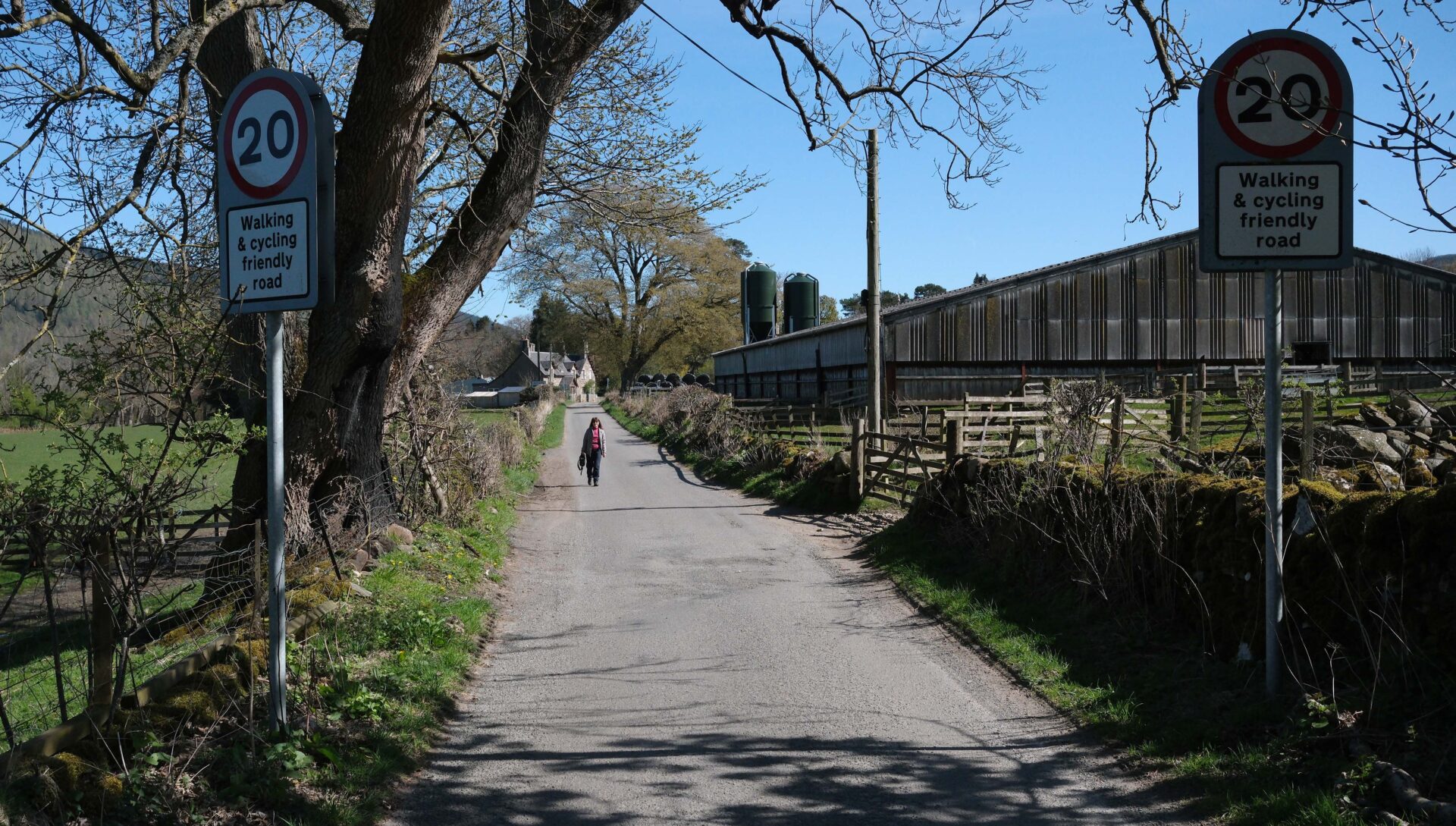
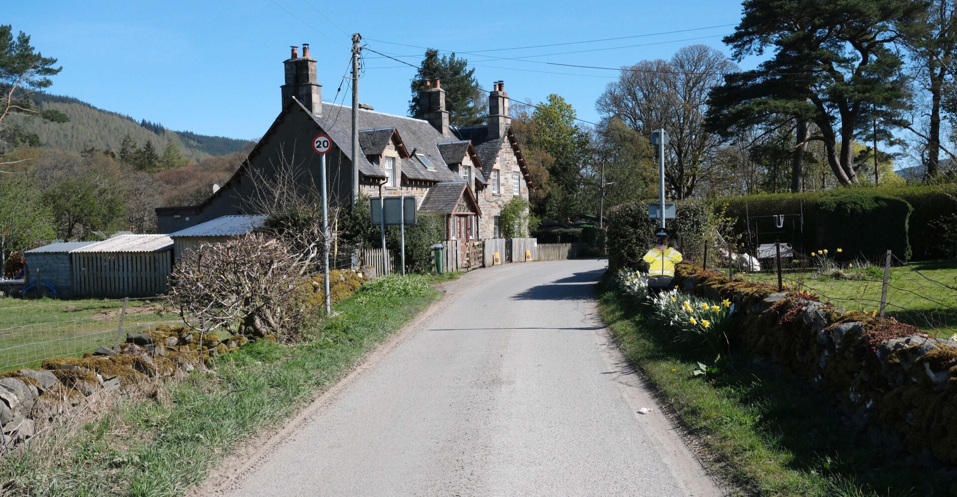
Jan had parked up in Acharn village at the foot of the track to the falls and walked along the road to meet me. A wide farm track led the Rob Roy Way up to the Falls of Acharn and a small hermits cave.
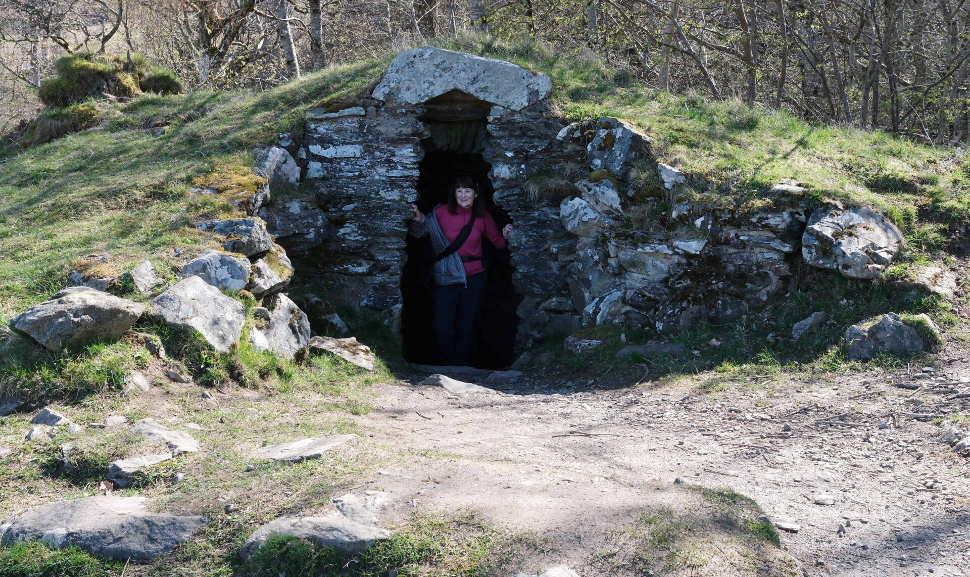
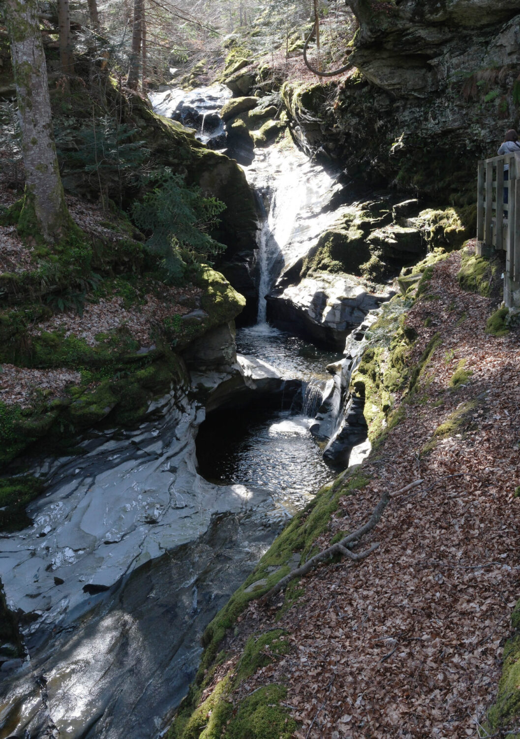
Jan turned back at the top of the falls and I continued out into open country at 11.44am with views to the Ben Lawers range of mountains again.
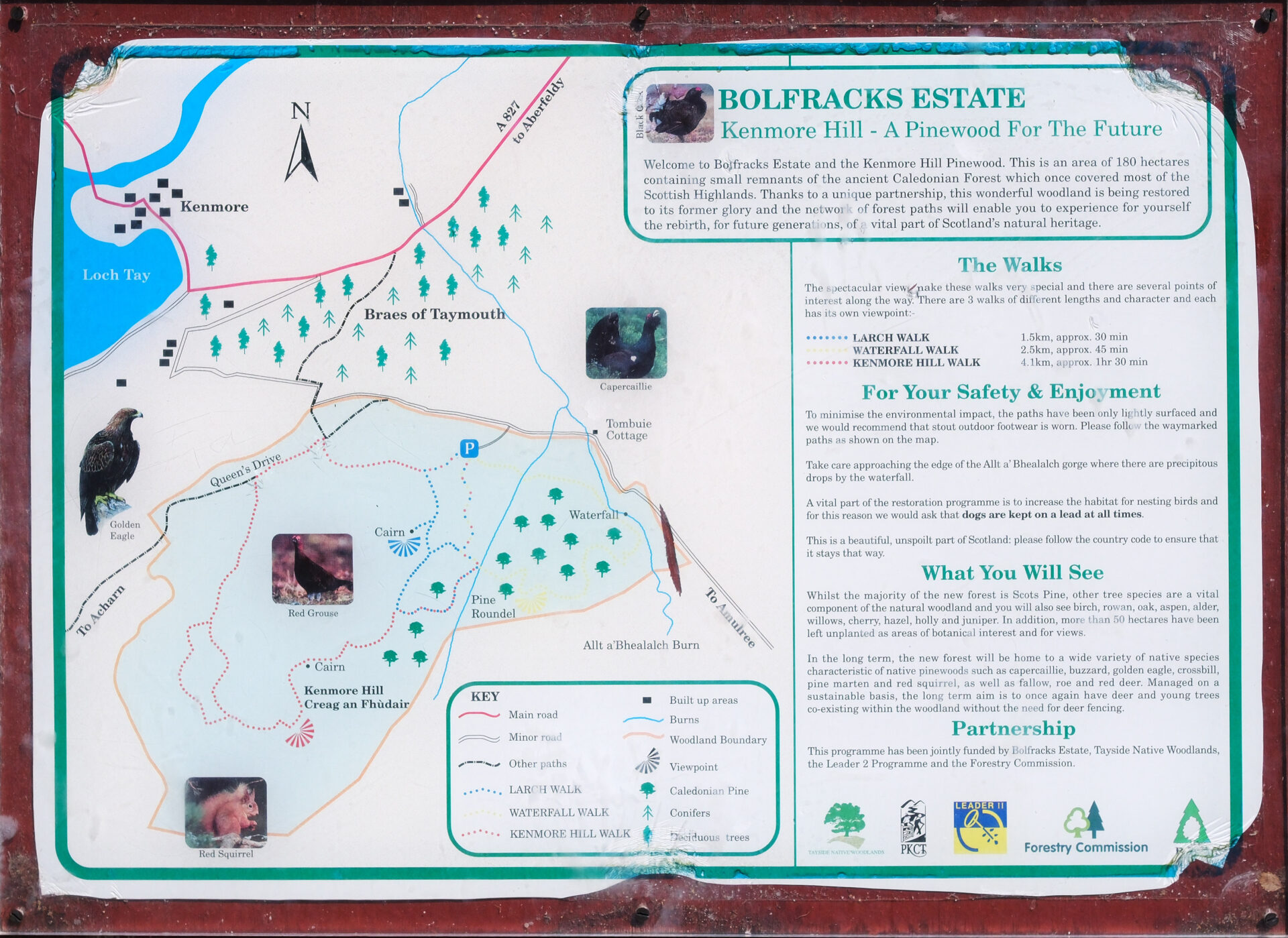
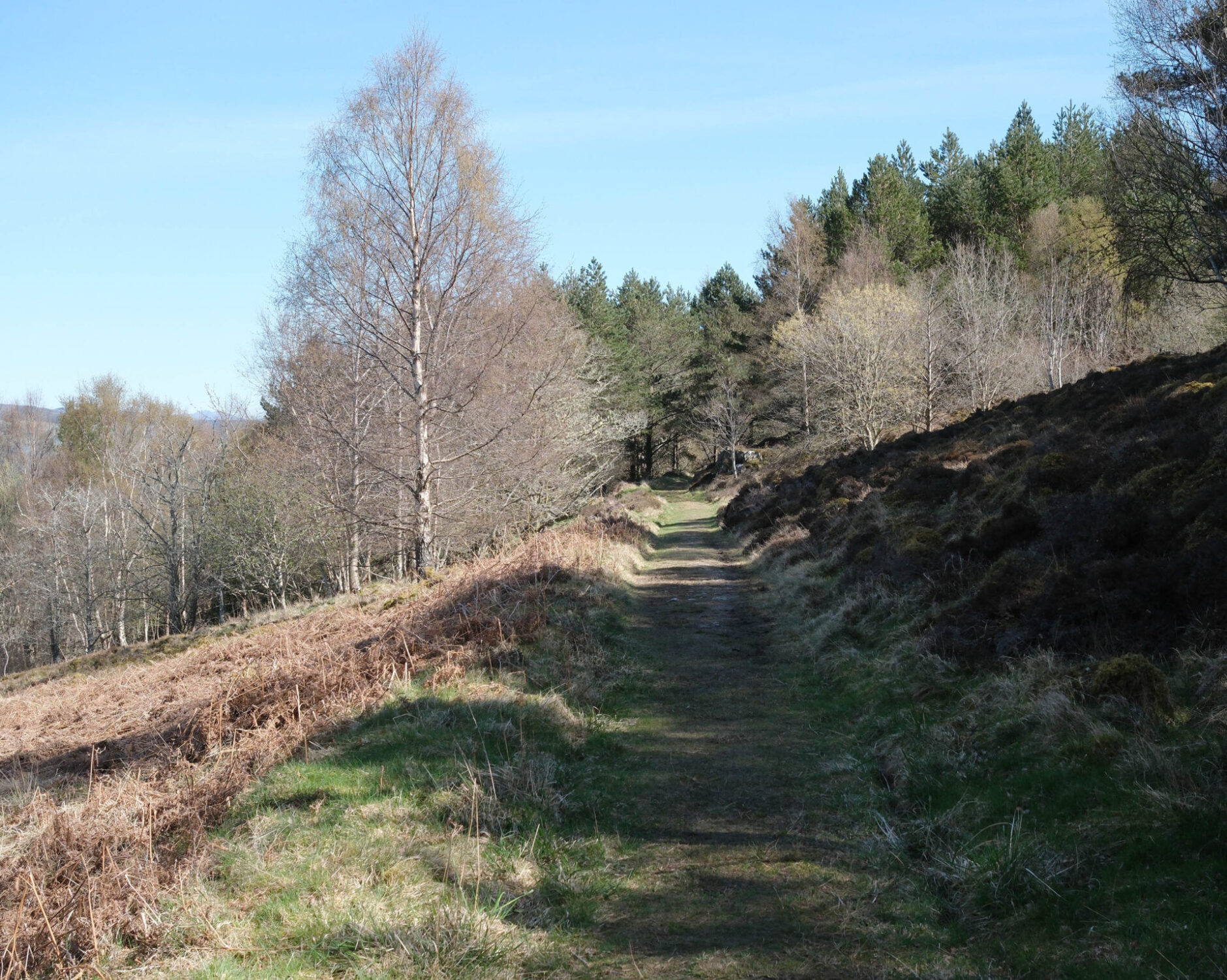
12.45pm I caught up with Lauren, Steve and Jordan who had caught a taxi from their overnight lodgings to Acharn and had apparently seen us and waved madly at us as we drove past them at the foot of the track up to the falls. Jan and I were completely oblivious to this as we still had another 5 miles to drive until we could start walking!
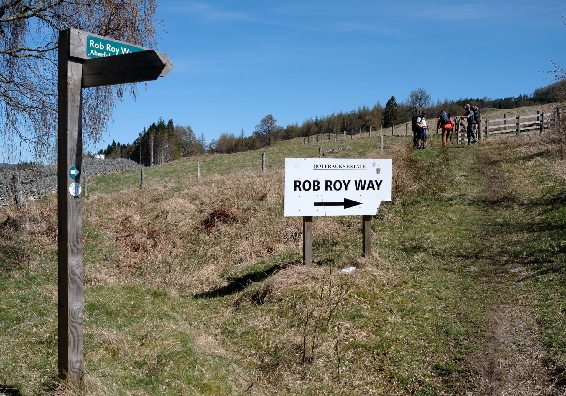
I stopped to take a few photos and had a bite to eat at 1.30pm and fell behind the trio but I knew I would soon catch them up. There was a good view down to Kenmore and Taymouth Castle.
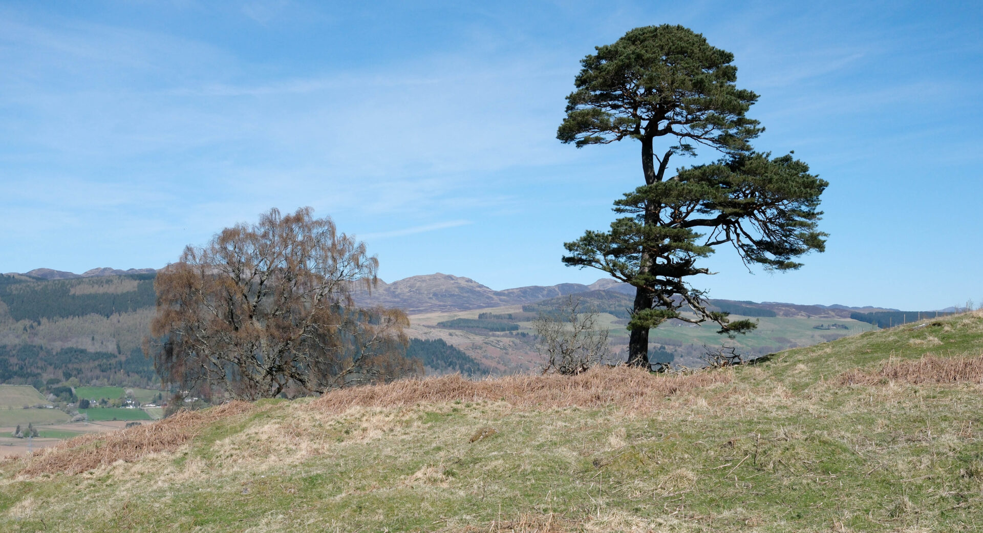
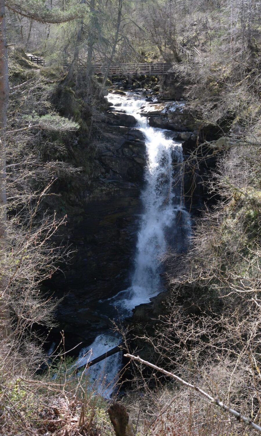
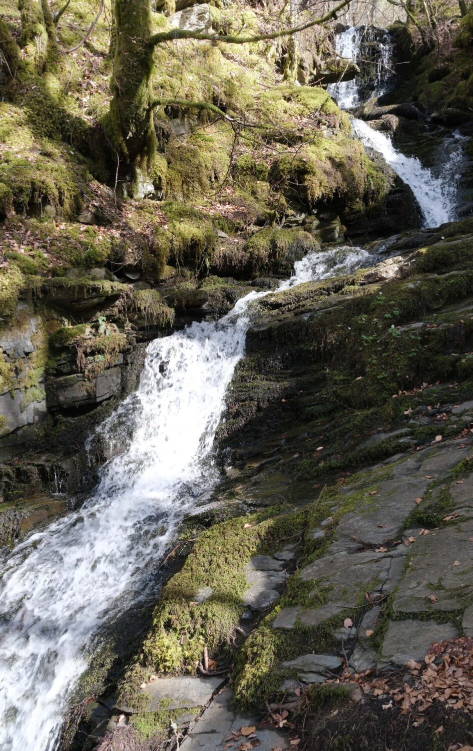
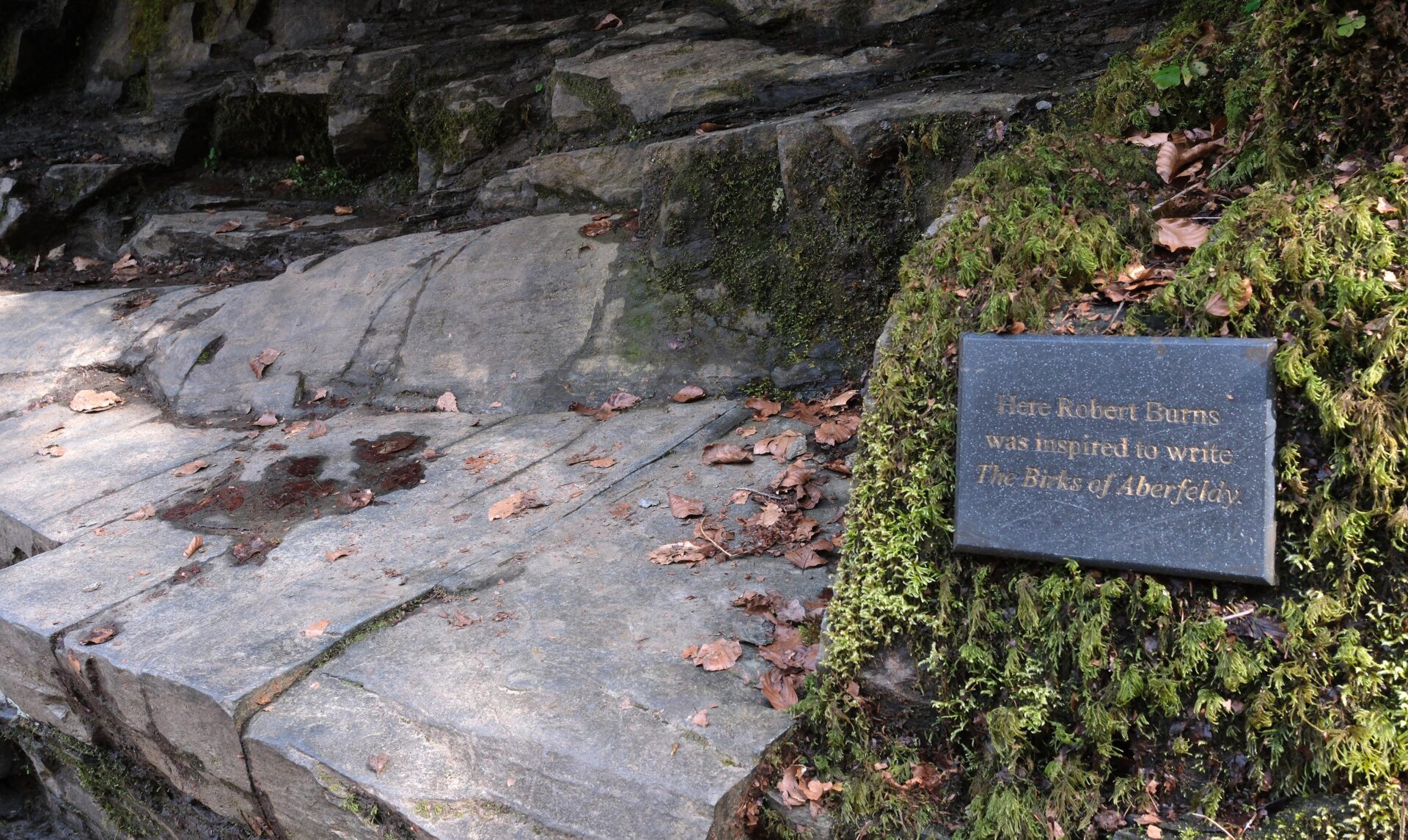
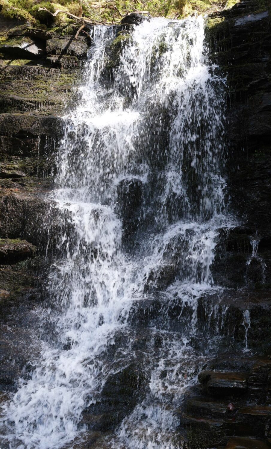
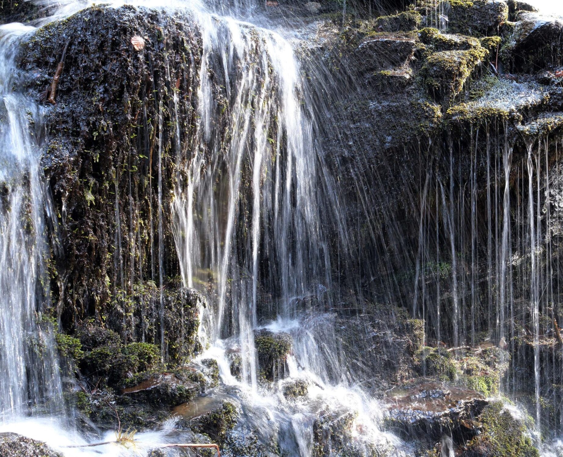
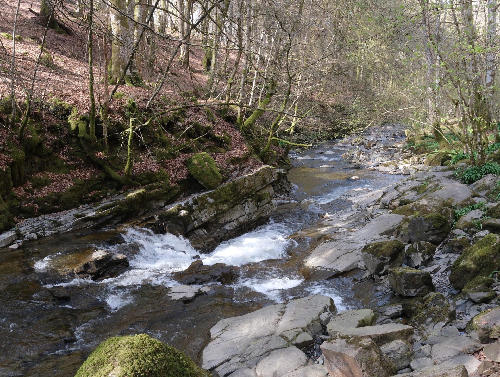
I caught up with the trio sooner than I expected, they had spotted a picnic table with bench seats and stopped for their lunch. I joined them and we set off again for Aberfeldy. We went through a few forested areas and finally reached the top of the Birks of Aberfeldy area at 3.42pm. The Falls of Moness were in full flow and looked very impressive. Jan was at the bridge at the top having parked at the hotel and walked back up to meet us. We all walked down together and I took lots of pictures.
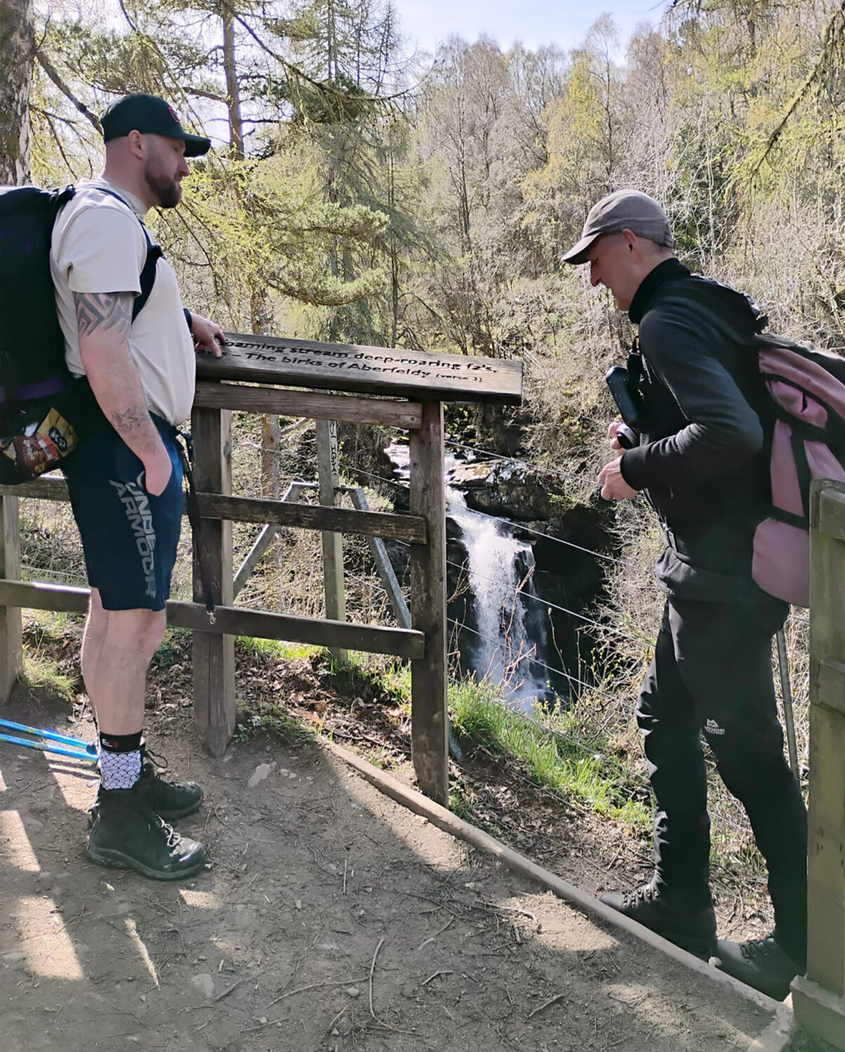
Jan and I had fallen a bit behind by stopping to take photos but we all met up again at the Black Watch Bar, the first place they spotted as they came into Aberfeldy. We all had a drink together before heading off to our hostelries for the night.
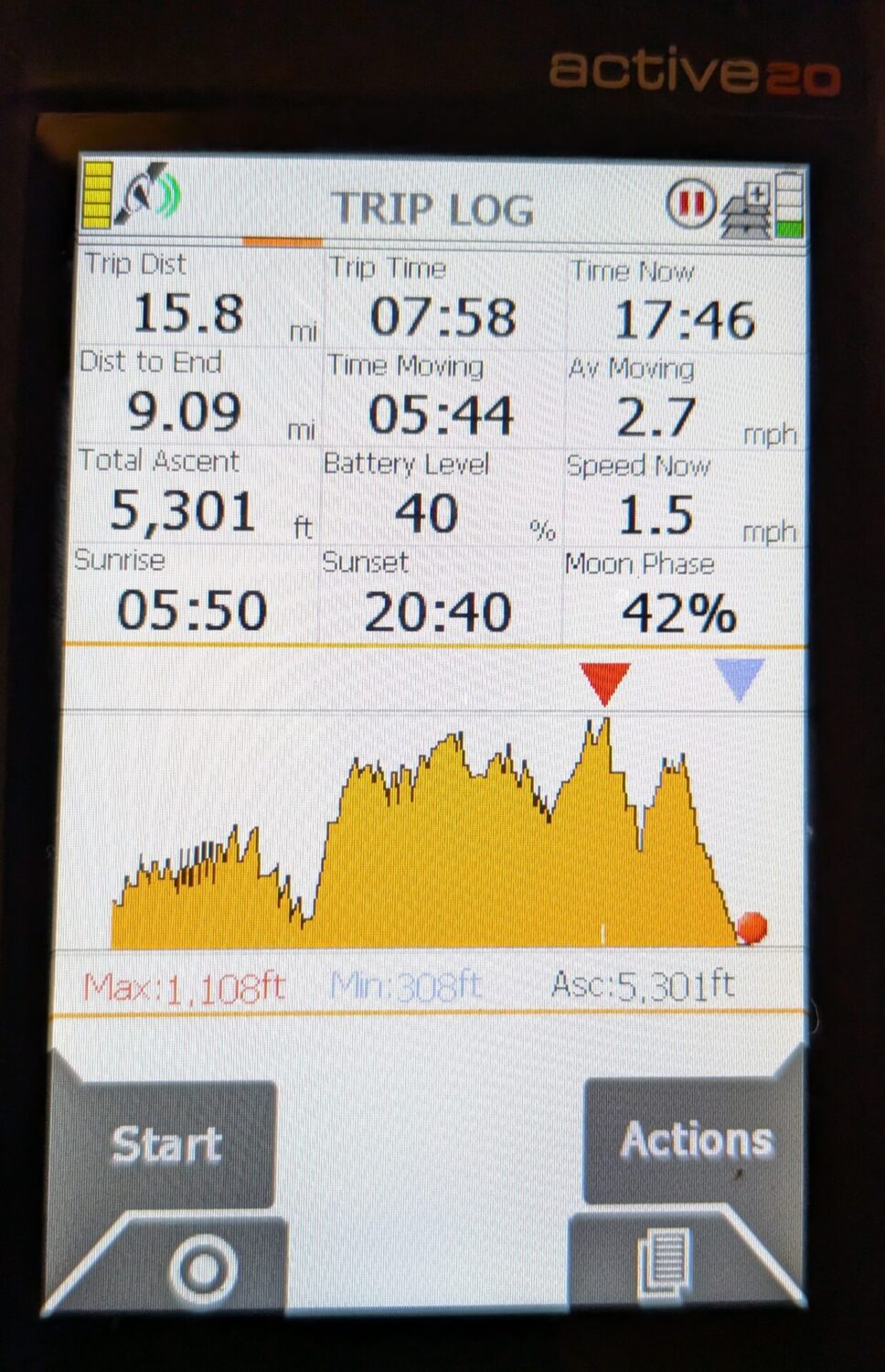
Ardtalnaig to Aberfeldy was 15.8 miles and took 6 hours 44 minutes.
Good friends Mick and Kay, from just north of Inverness, had come down in their campervan to Aberfeldy especially to see us, so we had dinner and the evening with them in the Schiehallion bar. We also made plans to meet Mick on tomorrow’s walk so that he could do the last few miles with us.
Day 7 Aberfeldy to Pitlochry 9.6 miles
We had another 7.45am breakfast and were walking by 9.15am. It was another cool start but with wall-to-wall blue sky and it warmed up later reaching 17°C.
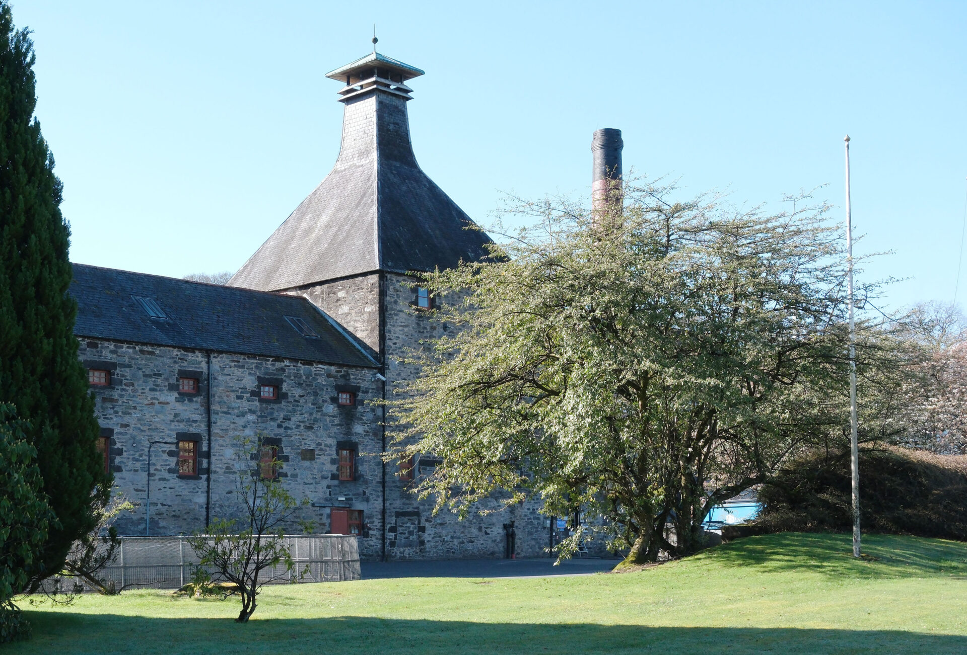
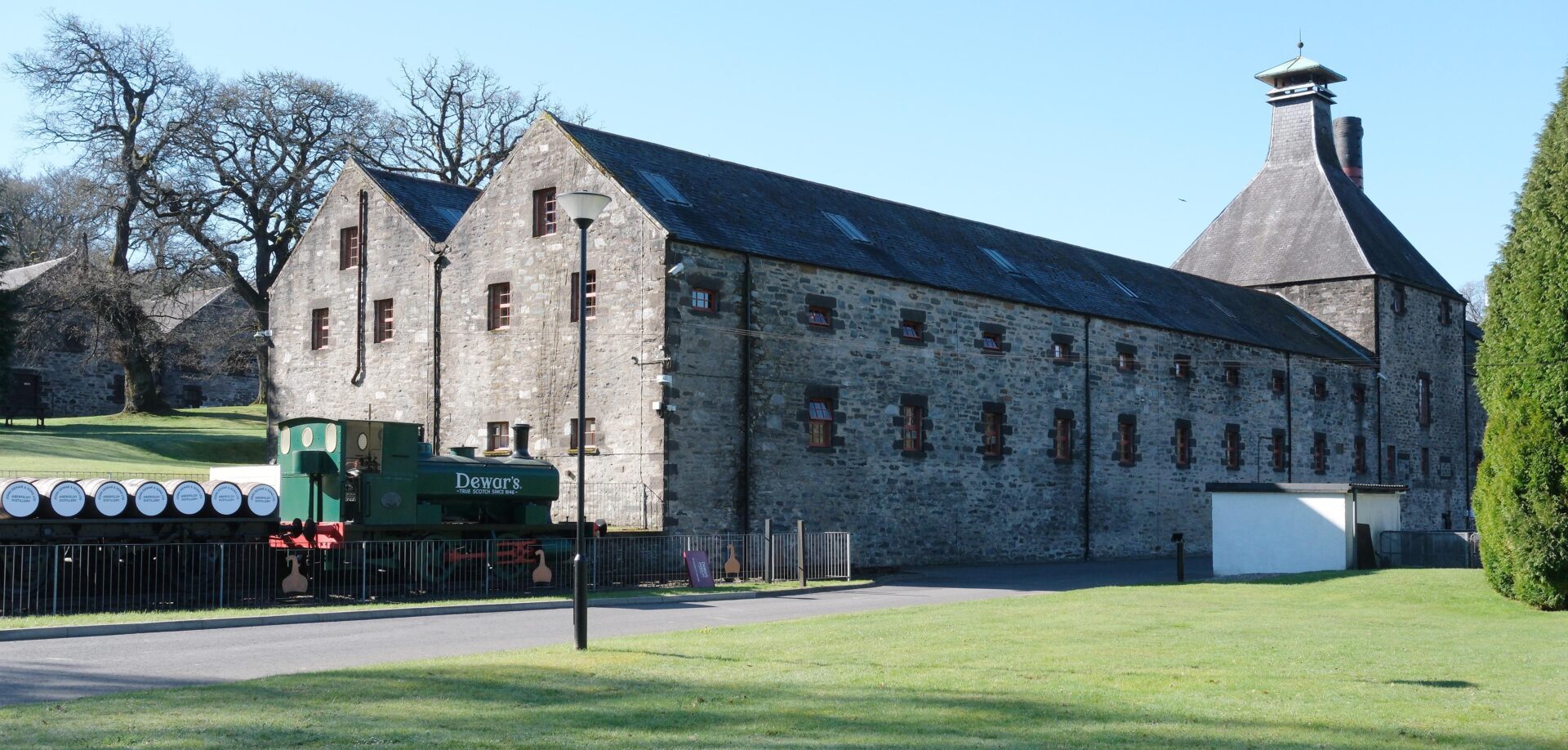
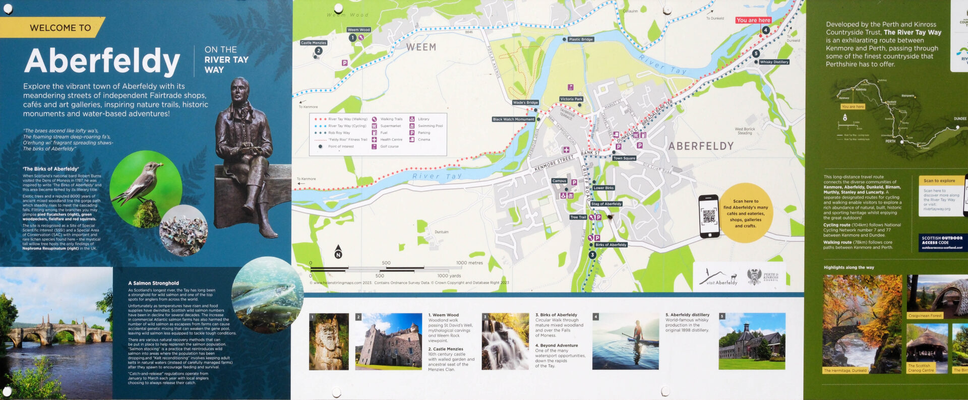
Jan was walking the whole day with me and we were meeting our friend Mick somewhere along the way – after moving his campervan to Pitlochry and walking back to meet us. We left the hotel at 9.17am and headed northeast along the road in the direction of Grand Tully and Pitlochry. Soon after the caravan site we came to Dewars malt whisky distillery so I detoured to take a few photos of the outside. A short distance further and there was an outdoor centre and the Rob Roy Way passed through their car park to a small path alongside the River Tay. We followed this to Grandtully.
I spotted a Common Sandpiper as we were walking along the riverside path.
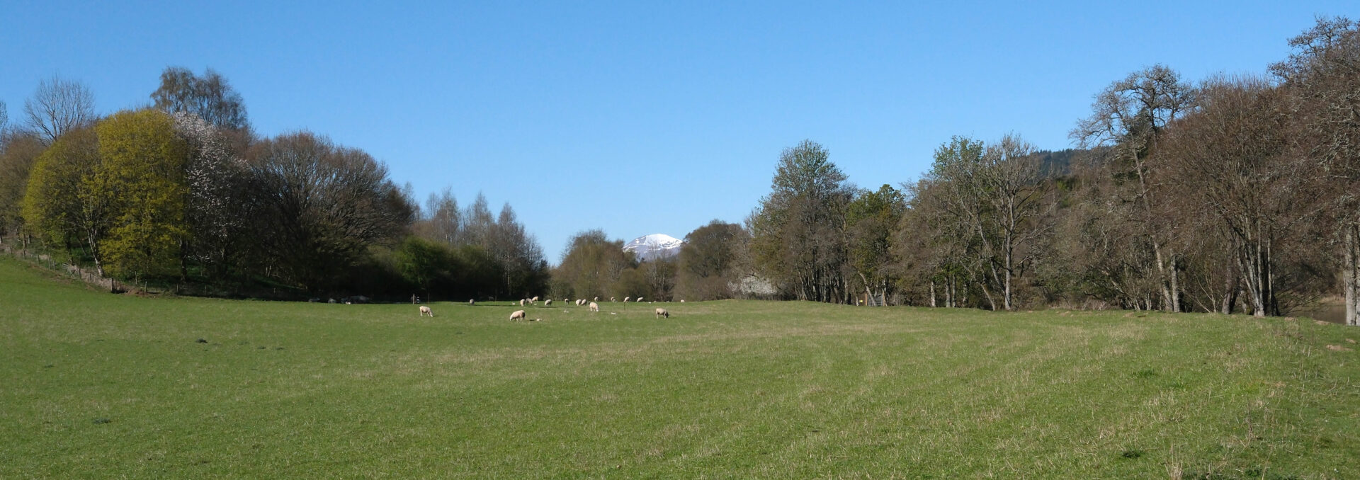
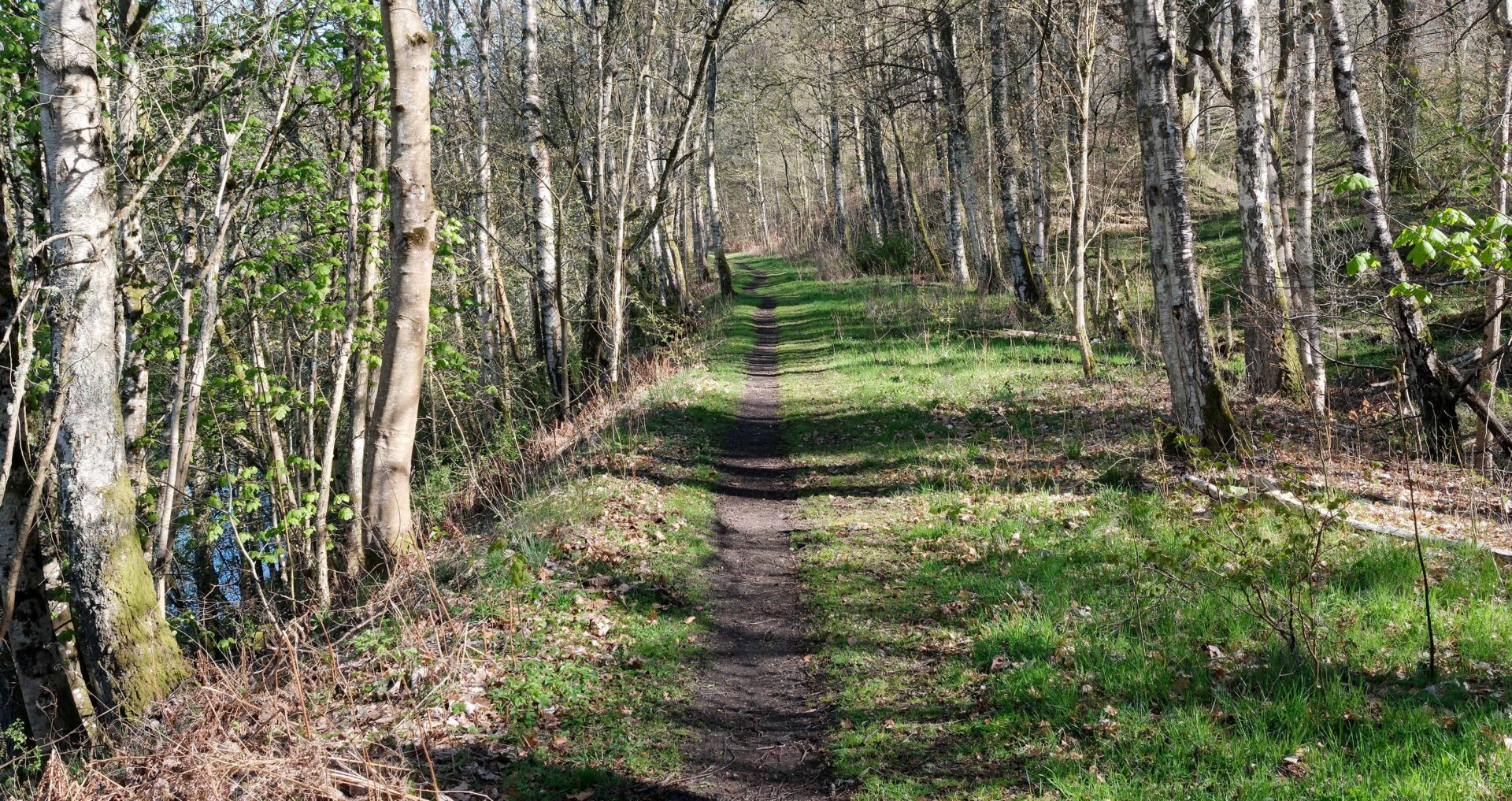
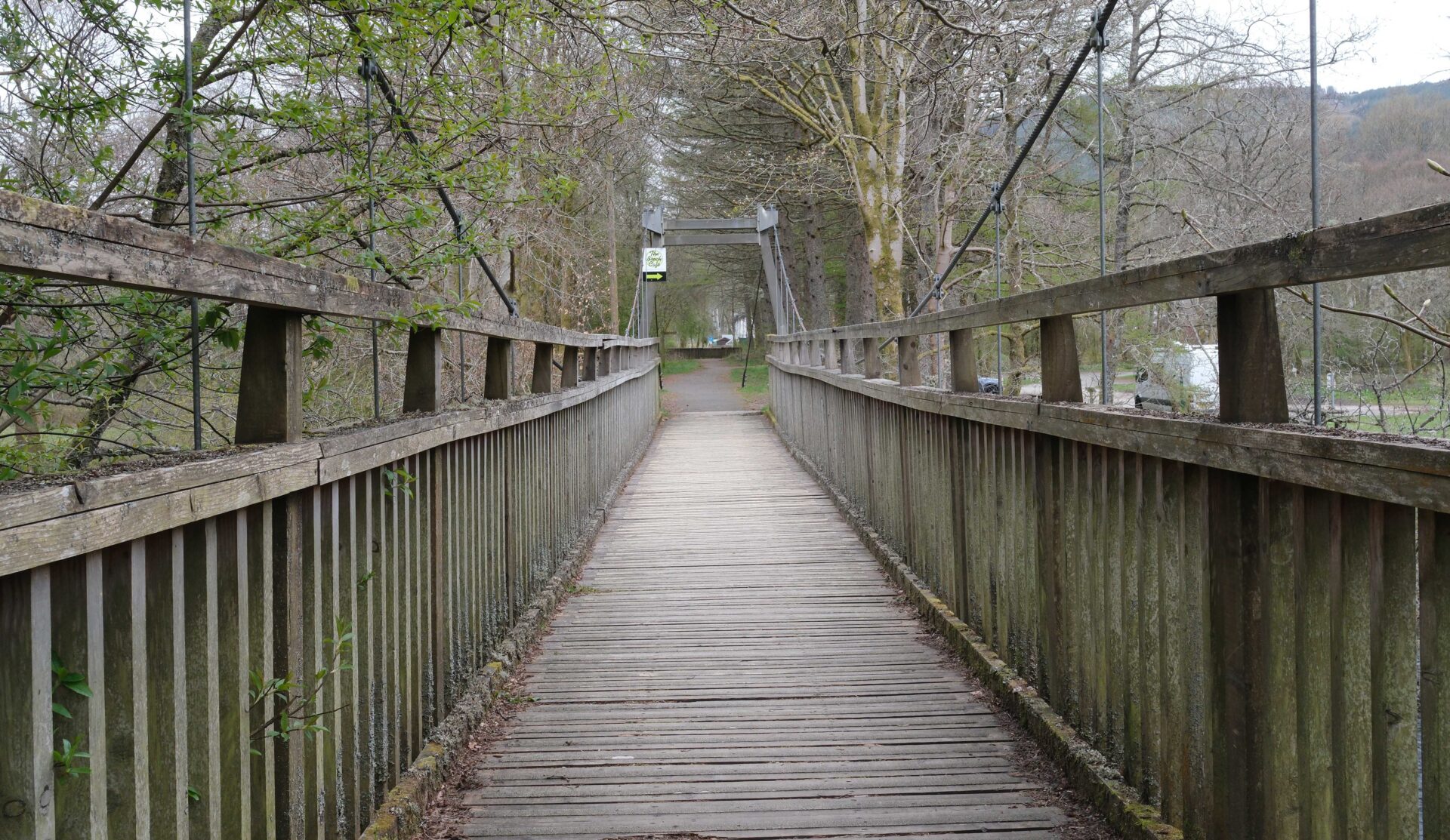
Grandtully was about 5 miles from Aberfeldy and at the top of the hill on leaving Grandtully we met up with Mick, taking in the sunshine while waiting for us. After a 15 minute chat the 3 of us headed off along the RRW towards Pitlochry. There was a wide clearing between sections of forest and finally forest trails led us down to the edge of Pitlochry near the theatre. We crossed thee river by a pedestrian suspension bridge and then it was just a short walk to the finish post (actually an arch).
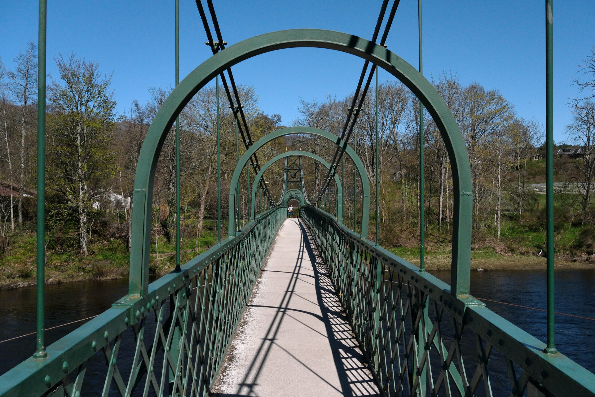
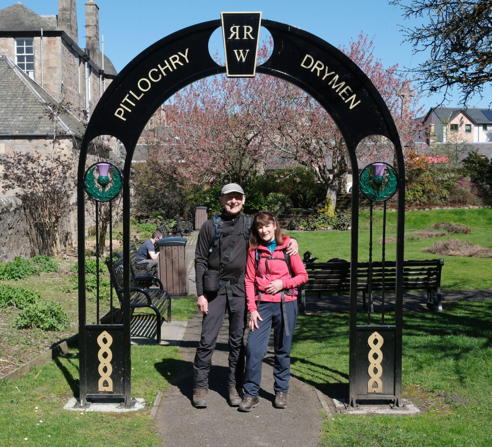
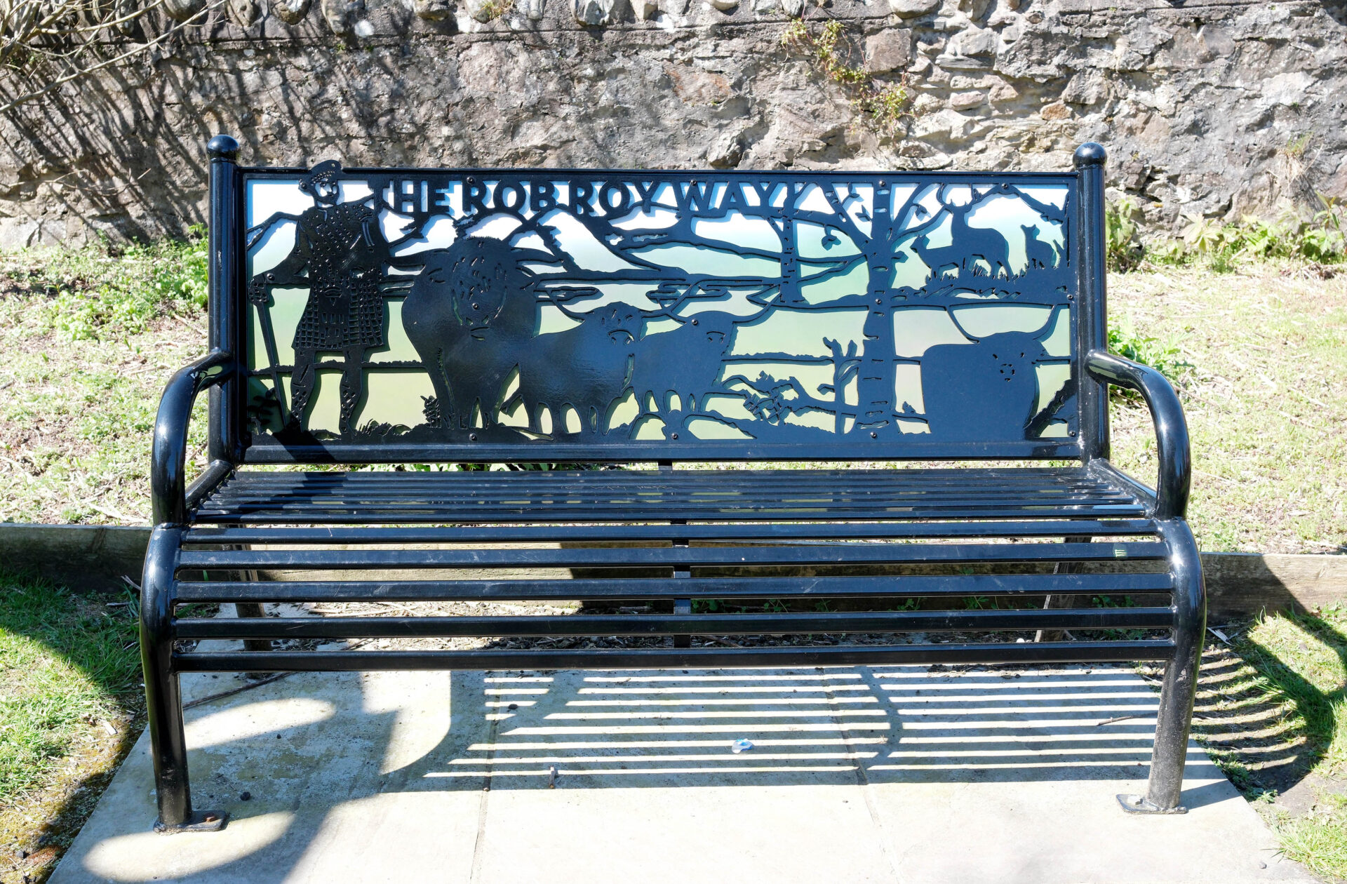
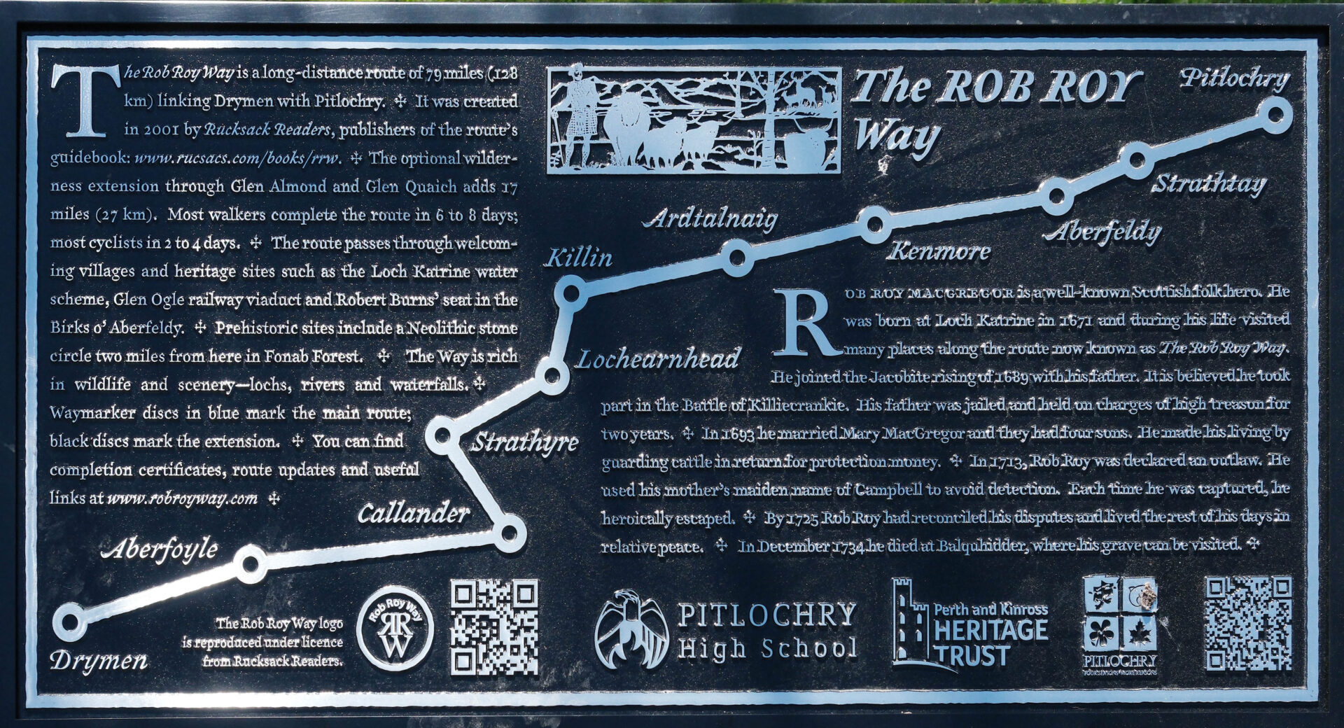
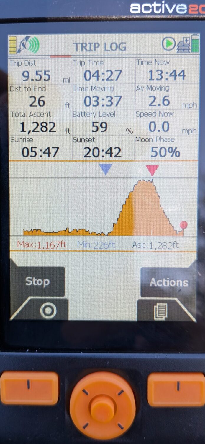
Aberfeldy to Pitlochry was 9.6 miles and took 4 hours 22 minutes.
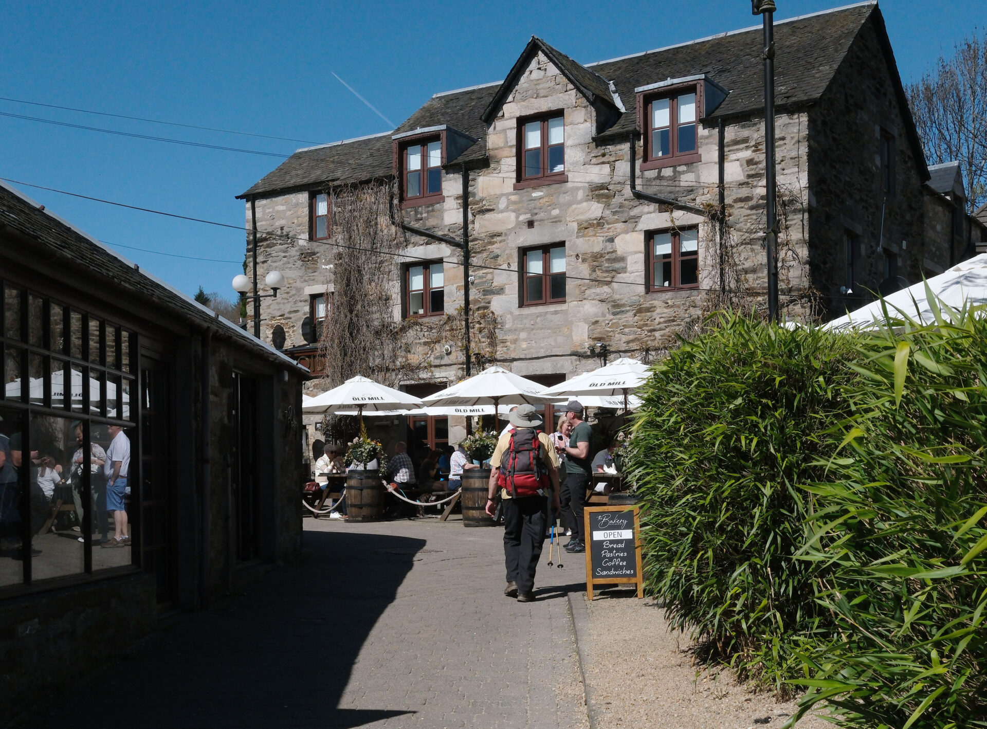
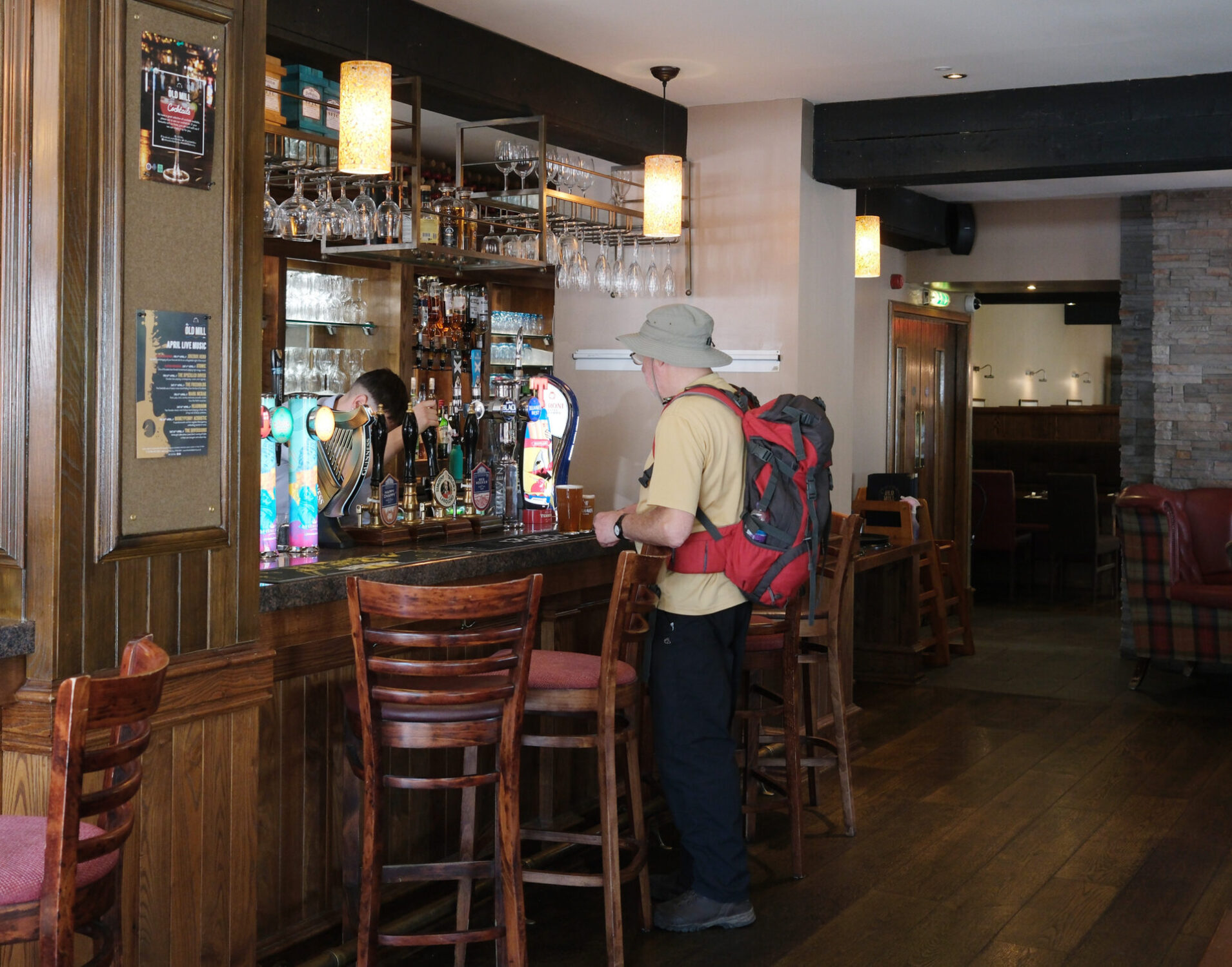
Mick took us to the Old Mill Inn for a pint of Timothy Taylor Landlord to celebrate. Then he made his way home to near Inverness while I had another pint before we walked to the theatre. Jan had booked a taxi to pick us up from there as we didn’t know where we would finish up in Pitlochry. The taxi took us back to our car in Aberfeldy and then Jan drove us home.
Just as we were crossing the suspension bridge near the theatre we met Lauren, Jordan and Steve coming the other way. They told us that they’d spent quite a time sitting in the sunshine on a hillside polishing off a bottle of fizz before coming down into Pitlochry to finish the walk. I wondered why we hadn’t seen them at all on this last day.
In total, Drymen to Pitlochry was 83.5 miles according to my Satmap Active 20 GPS and I walked for a total of just over 36 hours, including breaks, over 7 days. I walked noticeably faster on my own than when I was with others, probably not surprising.
I like doing multi-day treks and I’ve done lots in the UK and abroad and this ranks as one of the easiest. It’s very easy as far as navigation goes because so much of it is on well used tracks and roads and the signage is good. The views were spectacular as we had such good weather for most of it. Being earlier in the year there was no heat haze to obscure the views either. I didn’t like all the road walking and hard surfaced forest tracks which made up the majority of the Rob Roy Way. The views somewhat made up for this.
Equipment
Outside Rock 40 litres POD rucksack (this is 33 years old and still going strong. POD rucksacks were locally made in Sheffield and are ‘bombproof’) + Osprey Rucksack Rain Cover
Osprey Dry Sack 30 litres for clothes I want to keep dry, as well as cameras in really wet weather
Meindl Dovre Extreme GTX boots (10 inches tall because I have tender Achilles that are aggravated by normal height boots)
Leki Makalu FX Carbon AS trekking poles x2, very lightweight but strong
Odlo Active F-Dry Light Tank Top
Odlo Men’s Active Warm Eco Baselayer Crew long sleeve T-shirt
Rohan Merino Long Johns
Rab Nexus zip polo
Rab Zawn Hoody softshell jacket
Patagonia Nano Puff Gilet
Patagonia Micro Puff hoody jacket – my emergency warm layer which only weighs 270g. It lives in the bottom of my rucksack dry sack.
Mountain Equipment Ibex Trousers
Rab Kangri Gore Tex jacket
Sprayway Paclite Gore Tex overtrousers
Suunto Compass
Ordnance Survey 25k maps for each section in waterproof Ortlieb map case – in rucksack – just in case I want to detour, and to see the wider view.
Harveys Rob Roy Way 40k waterproof map
Satmap Active 20 GPS with Ordnance Survey 25k and 50k maps + pre-programmed with my route
Kestrel 2000 wind speed and temperature meter
Platypus 2 litre Hoser water bladder + High 5 Zero electrolyte tablets x2 each day
Platypus 500ml water bladder as emergency water – I can’t tell how much water I have left in the main 2l bladder without taking my rucksack off and looking inside it, I carry this so I never run out.
Jan’s homemade Eccles cakes filled with her homemade mincemeat x2 each day
Bounty chocolate bar – a bit more robust to temperature changes than many chocolate bars x1 each day
First aid kit
Fuji X-E5 camera with 23mm f2.8 lens in LowePro 13 x 9cm lens case – the camera, lens with filter and lens hood plus a flat neck strap, fit inside this perfectly. The case is on a neck strap too, or I can clip it onto my rucksack shoulder strap with a karabiner if I need to.
Mountain Equipment dry bag 3 litres for Fuji X-E5 camera and lens then this was put inside the LowePro case.
Google Pixel 9a mobile phone for all of the interior photos.

You might also like

 Get some free printing and developing tips, tutorials and information from the expert over at Darkroom Dave!



 my wife has retired as a professional photographer. Her work is available by special order only. Please use the Contact form on this website for all enquiries.